The Delft University in the Netherlands published a study in which they claim that the seabed is so deformed that all measurements of sea level rise over the past two decades are in fact completely wrong.
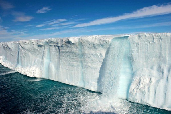
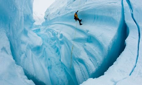
Satellites are those who follow the growth of the sea, but are not able to register changes on the seabed. When taking into account the unimaginably high volume and volume of water, it was calculated that satellites 'missed' even an additional eight percent increase in sea levels. This massive redistribution of mass is not the only factor affecting the transformation of the ocean floor. Consideration should be taken, along with the melting of the glaciers, and the evaporation of water as well as the percentage of salt in water. Balance is not the same way disturbed everywhere on the planet. While the ice melts a part of the bark, especially in the northern hemisphere, it 'wrenches' from the outside, while in the southern hemisphere it 'collapses'. A large part of the redistribution of mass on the surface is due to the dissolution of Greenland and the glacier regions surrounding the Arctic Ocean.

When everything is taken into account, the sea level seems to increase an additional 0.1 millimeter annually, which was previously not included in the projections. Pushing down the bottom of each ocean is not a negligible thing, and it seems to worsen over time. Calculated changes are also not easy, and the team working on the research in many ways has calculated how much ice from the land and water 'enters' the oceans. For this, they used a number of computer models of virtual oceans.

"In order to accurately calculate the growth of the sea, we must take into account the deformation of the ocean floor," they wrote in the paper.
Redistribution of water also works on earth rotation, which is why the North Pole is slowly approaching the UK.
Nice pics...