Maps & GPS Navigation — OsmAnd
OsmAnd is an offline navigation application with access to the free, worldwide, and high-quality offline maps.
Enjoy voice and visual offline navigation, viewing points of interest, creating and managing GPX tracks, using contour lines visualization and altitude info (through plugin), a choice between car navigation, cycle navigation or directions in the pedestrian mode, OSM editing and much more.
App Info Here
MY DESIGN ICON


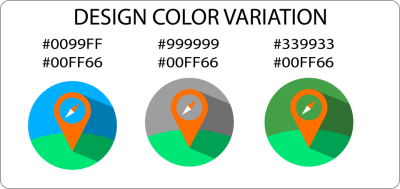

DIFFERENT ICON SIZES
192px

144px

96px

72px

48px

ICON MOCK UP ON MOBILE DEVICE
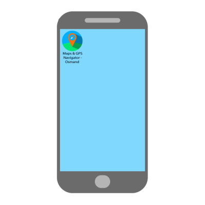
including how it looks in real use cases..
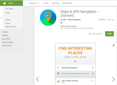
GITHUB REPOSITORY
Benefits / Improvements
Provide more accurate display than the original icon. Design improvements.
Tools
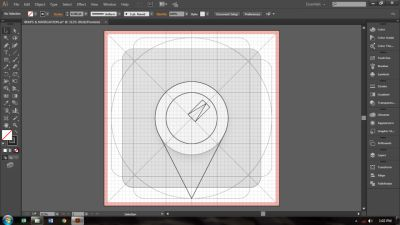
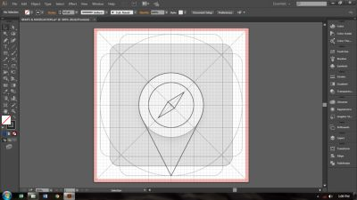
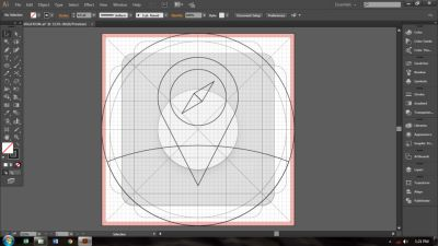
I used Adobe Illustrator CC 2015 in designing the icon.
PROOF OF WORK
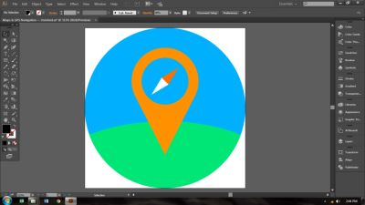
MY DESIGN CONCEPT
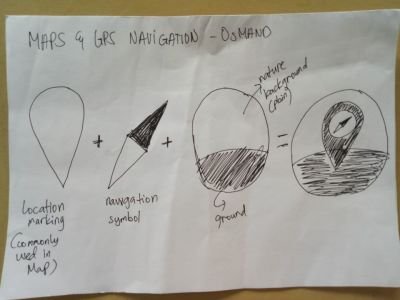
In this design concept, I plugged in the navigation symbol to the location marking and combined to the ground and nature background. And I chose to used the same color of the original color of the icon to the location marking..
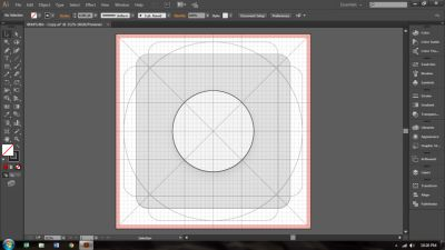
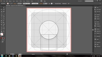
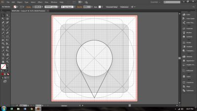

Original files
You can download all the files I used in designing here
Thank you for viewing my design.. :)
Posted on Utopian.io - Rewarding Open Source Contributors

@ian19, Upvote for supporting you.
Thank you @steemitstats.. :)
Your contribution cannot be approved because it does not follow the Utopian Rules.
You can contact us on Discord.
[utopian-moderator]
May I ask if I can change the one color version? And also if I can add a version with logotype? Thank you for the consideration..
You can, but it wont change the decision.
Thank you for the consideration. You sure are a best logo designer sir.. :)