The road curving up the Drakensberg is scenic but treacherous. It is why adventure travellers call it The Mother of South African Passes.
The 19 kilometre stretch of road is named Sani Pass and takes traffic from South Africa’s KwaZulu Natal Province to the Mountain Kingdom of Lesotho. It started off as a bridle path in the late 19th century and has been steadily upgraded to allow motor vehicles to negotiate the dirt road that rises 1 544 meters from the mountain foot to the Lesotho border post that sits at 2 876-meter altitude.
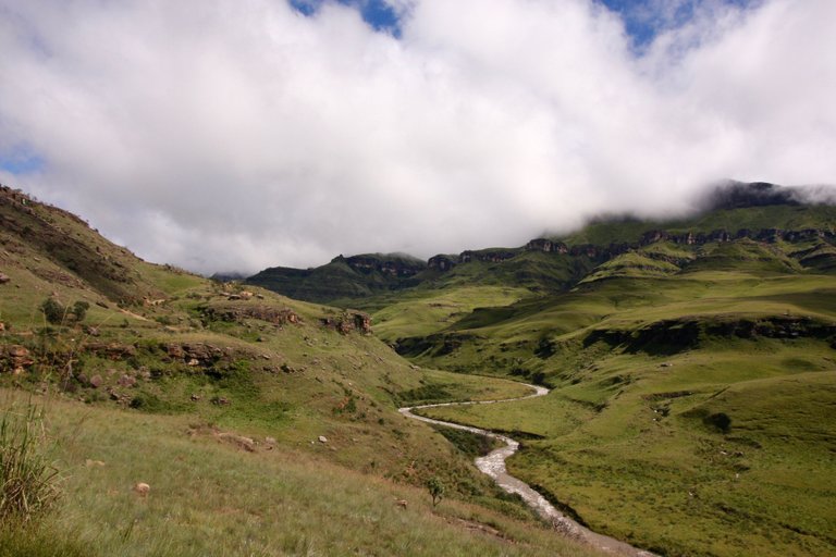
The dramatic scenery of the Drakensberg draws travellers to Sani Pass.
I drove up the pass by four-wheel-drive vehicle after heavy rains. It was a slip-slide affair. The danger was not only getting stuck but also slipping off the road and tumbling into the valley far below.
The mountain glistened with countless waterfalls and streams cascading down to the flooded Khomazana river snaking along the valley floor. But it was tough driving which, except for stops along the way, barely allowed time to enjoy the fabulous scenery of high cliffs and rolling hillside folds.
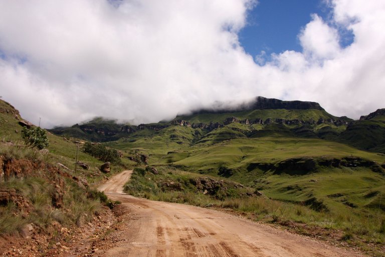
Sani Pass curves up the steep incline, making it the Mother of South African Passes.
A roadside sign at the South African end says only four-wheel-drive vehicles are allowed up the pass. Vehicle checks are on occasion done at the country’s border post that is set on a level piece of land about 8 kilometres short of the boundary line. At the top of the pass, just across the border in Lesotho, is a lodge with an eatery and what is named The Highest Pub in Africa. A notice on an outside wall gives the altitude as 2 874 metres.
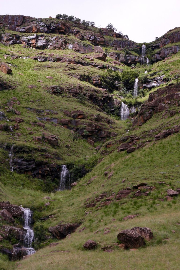
One of the many streams cascading down the mountain after rain.
At the Lesotho end at the top there are no traffic restrictions. All kinds of vehicles are let through, which accounts for most of the wrecks lying down in the valley.
Much of this is about to change. An upgrade costing millions will by the end of 2019 allow just about any type of vehicle to take on the route.
Adventure travellers are not happy about losing the pass’ raw challenge, and conservationists are worried about the impact the increased traffic will have on the pristine environment.
But there is a bigger purpose behind the road upgrade. It is intended to breathe new life into an agreement South Africa and Lesotho entered into back in 2001 to jointly protect the natural environment and develop the tourism potential of the area that straddles their jagged boundary line that runs along the crest of the mountain.
The 14 740 square kilometre area covers some of the most spectacular mountain scenery of the entire Drakensberg range that runs along much of the eastern seaboard of South Africa.
KwaZulu Natal’s Zulu people call it uKhahlamba because the jagged peaks pointing into the air remind them of a barrier of spears. It has also been suggested that the naming might refer to the regular rumble of thunder among its cliffs and down its valleys that sound like the drumming of spears against cowhide shields.
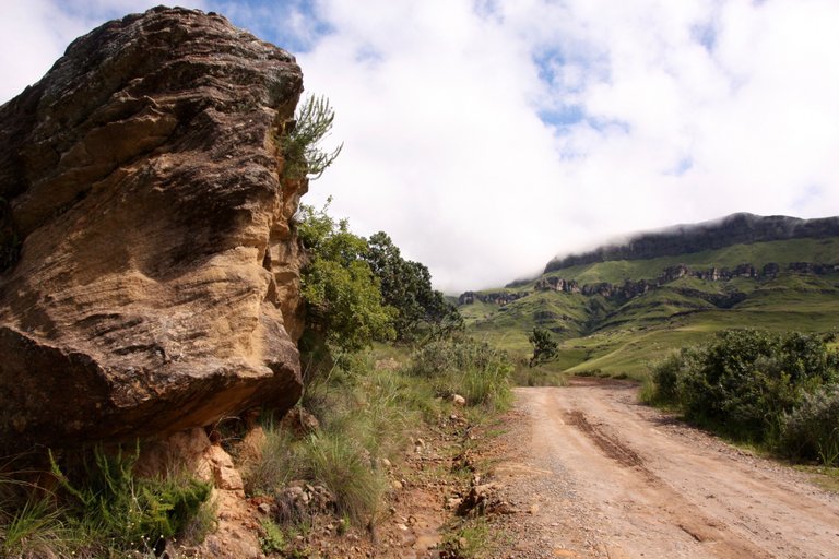
A rock standing like a guardhouse along the way.
Drakensberg means *Dragon Mountain *. It was named so by the early white pioneers called the *Trek Boers * because something about the mountains reminded them of dragons. Some say it was the clouds swirling among its cliffs intermingled with lightning flashes that looked like giant fire-spewing lizards. Others say it was the protruding peaks that looked like the spine of a dragon. Still more suggest that those early Boer pioneers called it so when they were told by the local inhabitants about the giant serpents appearing in the San rock art that appear in caves and rock overhangs throughout the area.
Then there is the story as well about somebody who claimed in fact to have come across a monstrous creature lurking in the mountain crevices.
The names of rock formations and peaks in the KwaZulu Natal-Lesotho border section of the mountains say it: the Inner and Outer Horn, Cathedral Peak, the Pyramid and Organ Pipes, Vultures’ Retreat and Dragon’s Back, Champagne Castle, Monk’s Cowl and Cathkin Peak, the Old Woman Grinding Corn, and the iNjisuthi (Full Dog) Triplets, named so apparently because the dogs as well used to eat their fill from the abundance of game, notably Eland, that kept in the beautiful valley below.
iNjisuthi, at 3 410 metres, is one of the highest points in South Africa, and close by, on the Lesotho side, rises quaintly named Thabana Ntlenyana, which in the Sotho language means the “beautiful little mountain”. At 3 482 metres it ranks as the highest point in southern Africa.
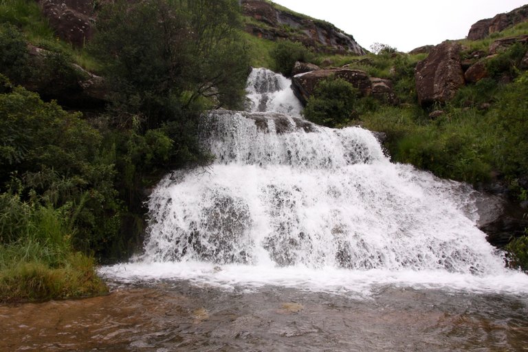
A stream gushes across the pass.
There is the 3 315-metre-high Giant’s Castle depicting a castle-like structure with beside it an enormous figure lying on its back and staring at the skies, and below it a gentle slope offering exquisite walks that at its foot dip into the clearest of mountain streams.
The South African side abounds with holiday resorts and parks that are crisscrossed by hiking trails. On the Lesotho side, tourism facilities are at a minimum. It is hoped the increased traffic from Sani Pass will see this change in favour of the impoverished Mountain Kingdom.
Nature itself stands to benefit handsomely from the transboundary agreement. Much of the mountains’ extraordinary biodiversity has been coming under serious threat from bad commercial uses and farming practices, invasive plant species and destructive seasonal fires that are mostly started on the Lesotho plateau to clear grazing areas of dead vegetation. An action plan concluded under the agreement will encourage joint efforts to safeguard this exquisitely beautiful chunk of Earth.
Hi @lmar, thank for sharing the beautiful nature. 🙂
Thanks for sharing your beautiful photos and story. I would love to go here one day.
I also love the stories attached to the landscape - us humans have an amazing way of understanding place through language, memory, culture and stories. Thanks for the detail in this post.. you make it seem magical.