I love exploring the mountains as many of you may know...
and one of the most rewarding destinations is a hot springs!

Luckily here in California, due to the volcanic activity in our geologic past, we have lots of great hot springs! Of course many of them are made into fancy resorts, blocked by private property, or so easily accessed that they get crowded and can turn into a dump. But if you know me, the hot springs that I like to find are the ones WAY out in the mountains, the ones that are rarely visited or maintained.
I had heard about these springs from a friend and fellow hot spring lover, my buddy Jeff from L.A. Swimmin', and I was really intrigued. So I got my gear packed up, loaded up the dogs and headed out for an adventure. I drove out to Lockwood valley and got to the dirt road that leads to the trailhead and...
Damn... I knew that they did close the road sometimes, but I figured that was just when it had snow. But there had been no snow yet so I had thought it would still be open... Feeling discouraged I thought about changing my plans, but being the determined person that I am I said "hell nah, I can do this, I'm hiking the road"! So the hike that was supposed to be only 8 miles from Johnston ridge to the springs was now going to be 14 miles longer for a total of 22 miles! I was packed for multiple days so I knew I could do it, but again being that determined me I still set out for the full 22 mile trek on my first day!
While I'm usually not a big fan of hiking dirt roads, this was an area I had never seen so along the walk I really enjoyed all the new scenery. The road headed up over San Guillermo mountain dropped down through Grade valley and then followed Piru creek to Halfmoon meadow and the Johnston ridge trailhead where the real trail began.
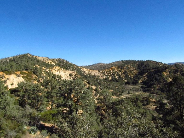
Views from San Guillermo mountain
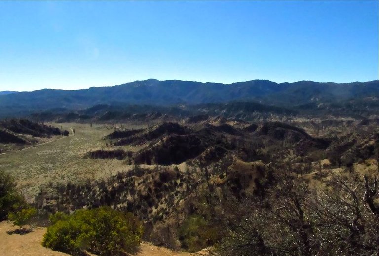
Overlooking Grade Valley
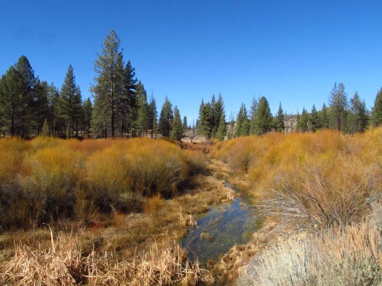
Piru Creek
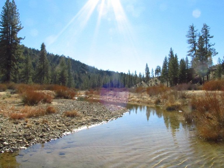
Piru Creek
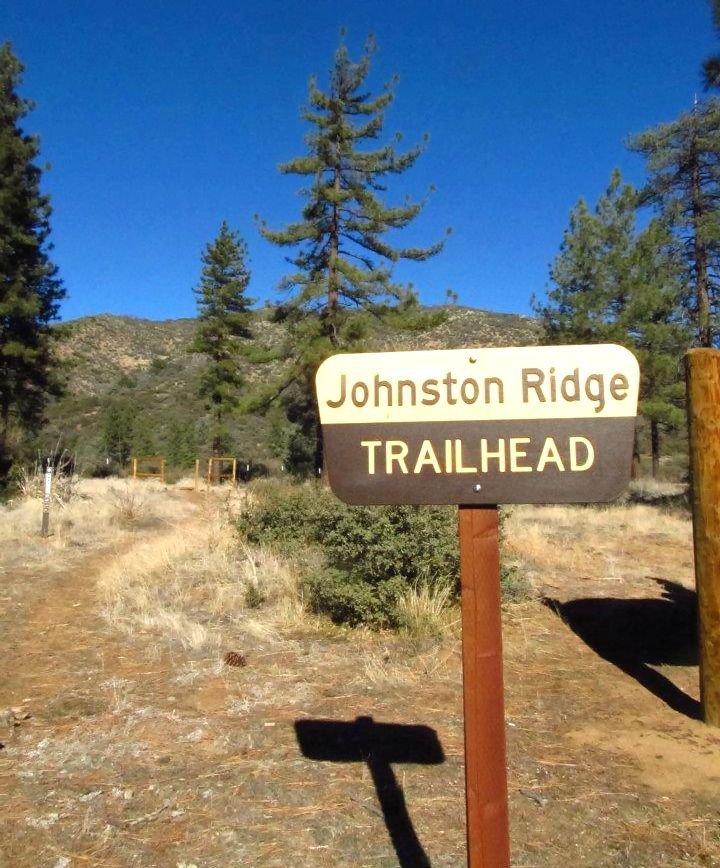
Johnston Ridge trailhead
After a quick lunch break at the trailhead we started down the trail. We crossed Mutau creek and got out onto the ridge. We got some good views overlooking Hot springs canyon, but what we saw is that we had a LONG way down still to go and being winter the days are short and I knew our daylight was getting limited. So we picked up the pace and booked it on down that ridge! Lots of steep sections, but all in all it was a good trail. As we dropped I just kept thinking about how we were going to have to climb back up all of that! We got to the bottom of the canyon and to the hot creek and headed upstream to find a place to camp. We found a good spot for the tent and got it setup just before it was totally dark. We were pretty exhausted from the long trek, and after making some dinner we were headed to bed early.
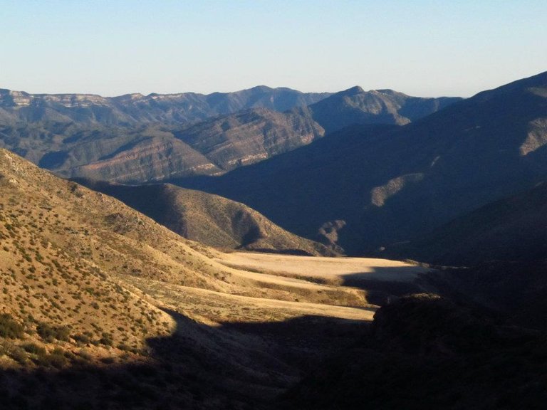
Overlooking hot springs canyon (the hot springs is way down in the bottom behind that big flat meadow)
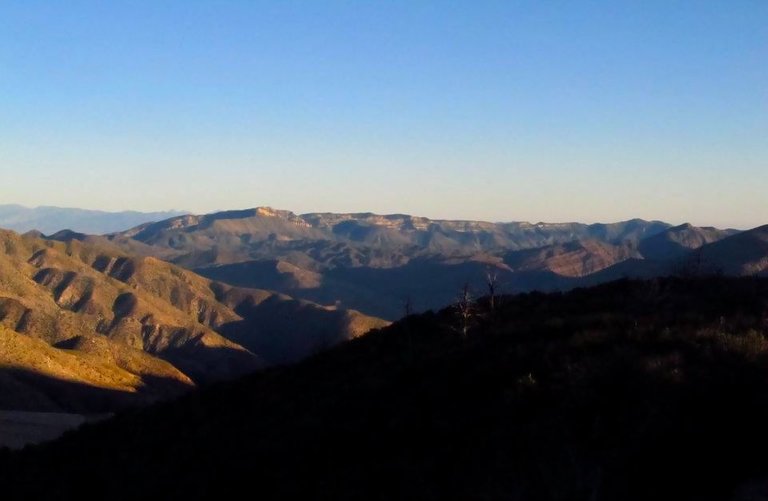
Views from Bradford Ridge
The next morning I started exploring the area. The first place I wanted to check out was the main hot water source. In the canyon there were many hot water sources all over including one up on the mountainside that came down the cliff in a little waterfall. I headed up stream and found the main source and there was a huge cloud of steam rising off the water. I got my thermometer and I measured the source temperature at almost 200 degrees fahrenheit!!!! Luckily there is also a cold water source that combines with the hot water just above my camp that was good for getting cool water to drink and made some perfect temperature hot tubs! After checking out the hot springs area I decided to make the hike down to the Sespe river and spent the day hiking along the river finding swimming holes. Then I headed back to the hot springs and spent the rest of the day soaking in the hot creek.
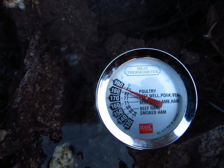
Measuring the temperature
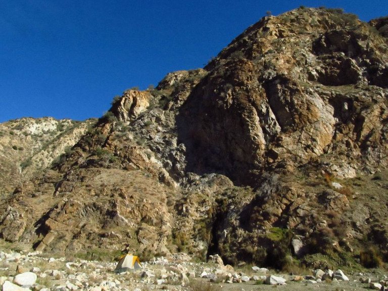
My camp
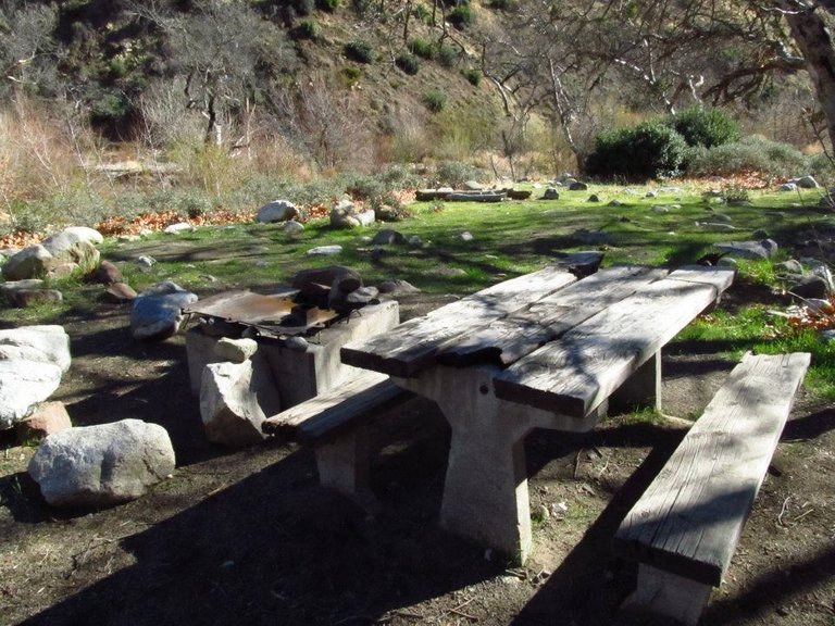
The old Sespe camp in lower Hot Spring canyon
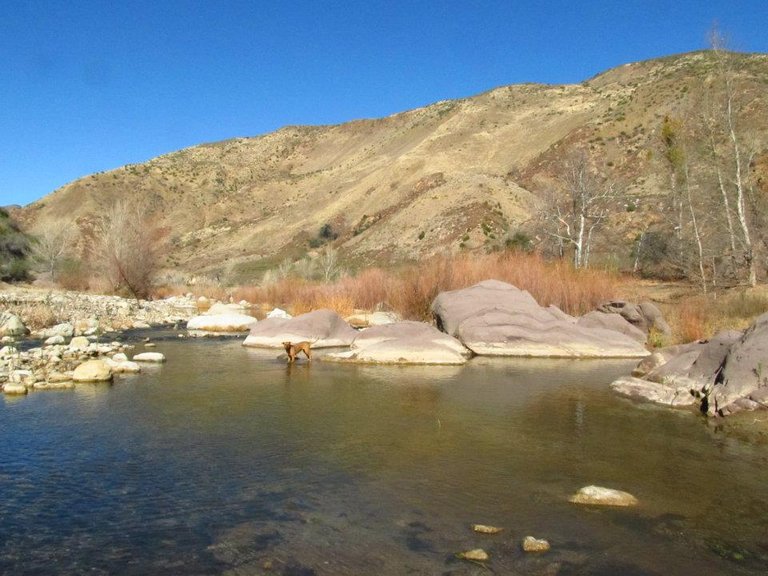
The Sespe river
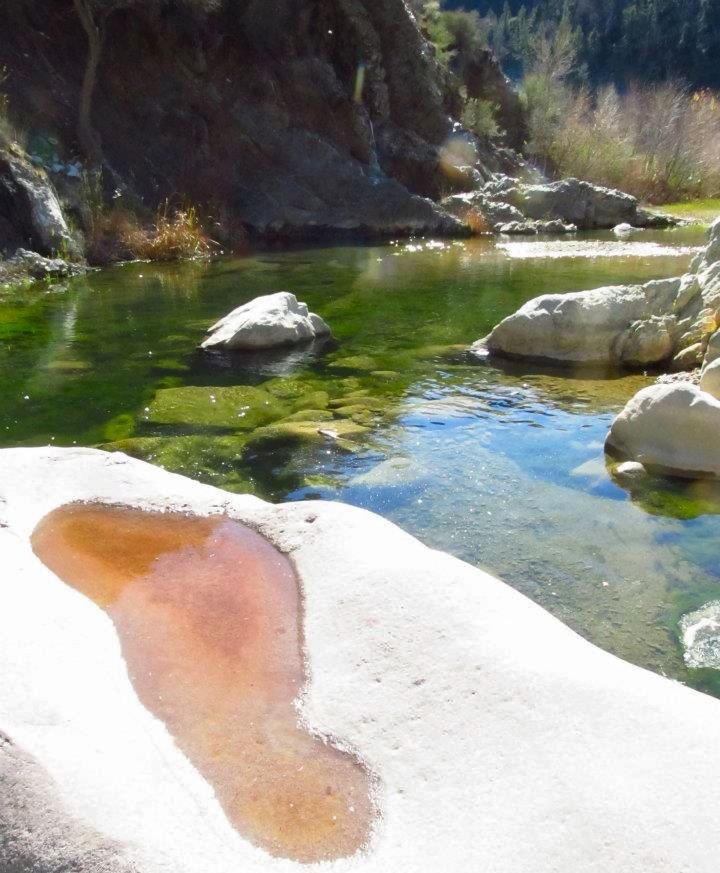
Sespe river
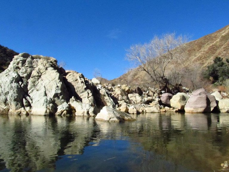
Nice swimming hole in the river
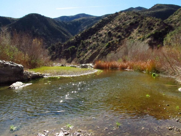
Devil's Heart peak towering over the Sespe river
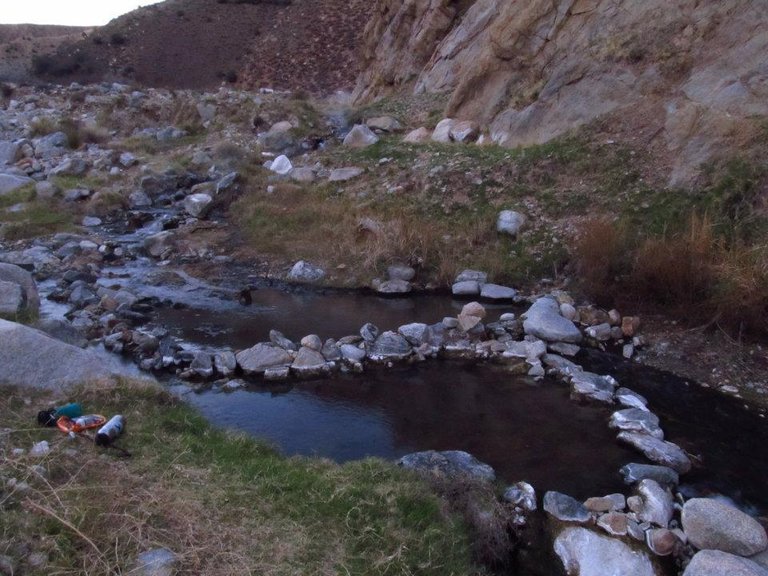
Evening at the hot creek
The next morning I decided to pack up camp. With the big climb out of the canyon and the long miles I decided to split the hike out into two days. We hiked back up Johnston ridge. I took my time and enjoyed the views. From there we went back by Mutau flat, crossed Mutau creek, made our way back to the trailhead and then down the dirt road to Piru creek at Halfmoon meadow where we made our camp at the campground there. We got there fairly early and I was glad because it's a really nice area and I was happy to have plenty of time to just walk around the meadow and relax at the camp.
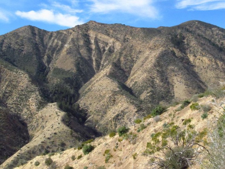
Views from Johnston ridge
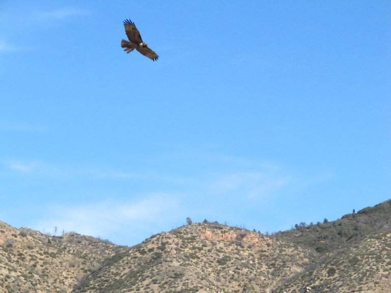
Redtail Hawk
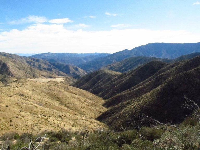
Overlooking Hot Springs canyon
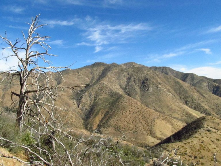
San Rafael peak from Johnston ridge
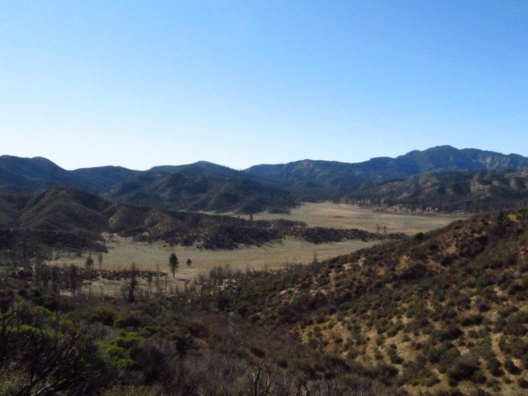
Overlooking Mutau flats
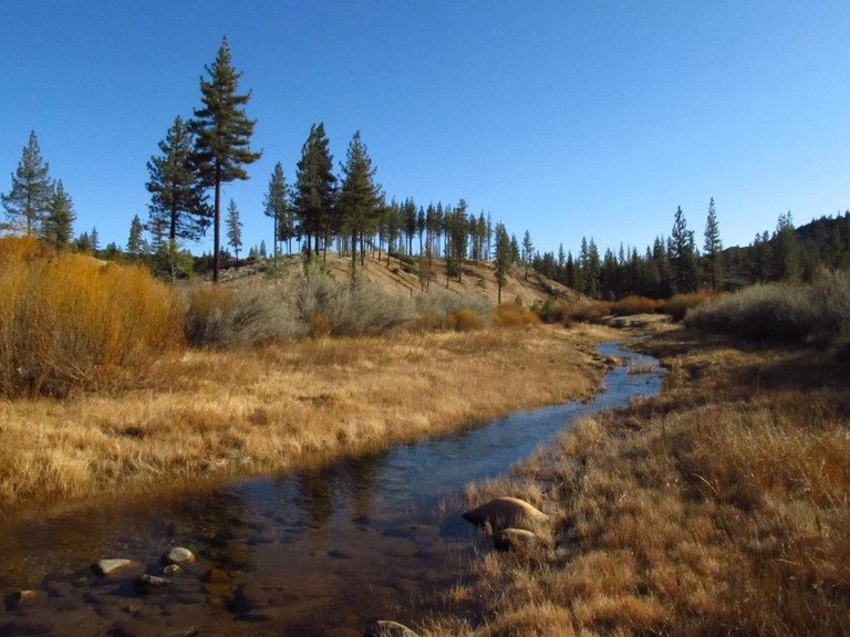
Halfmoon meadow
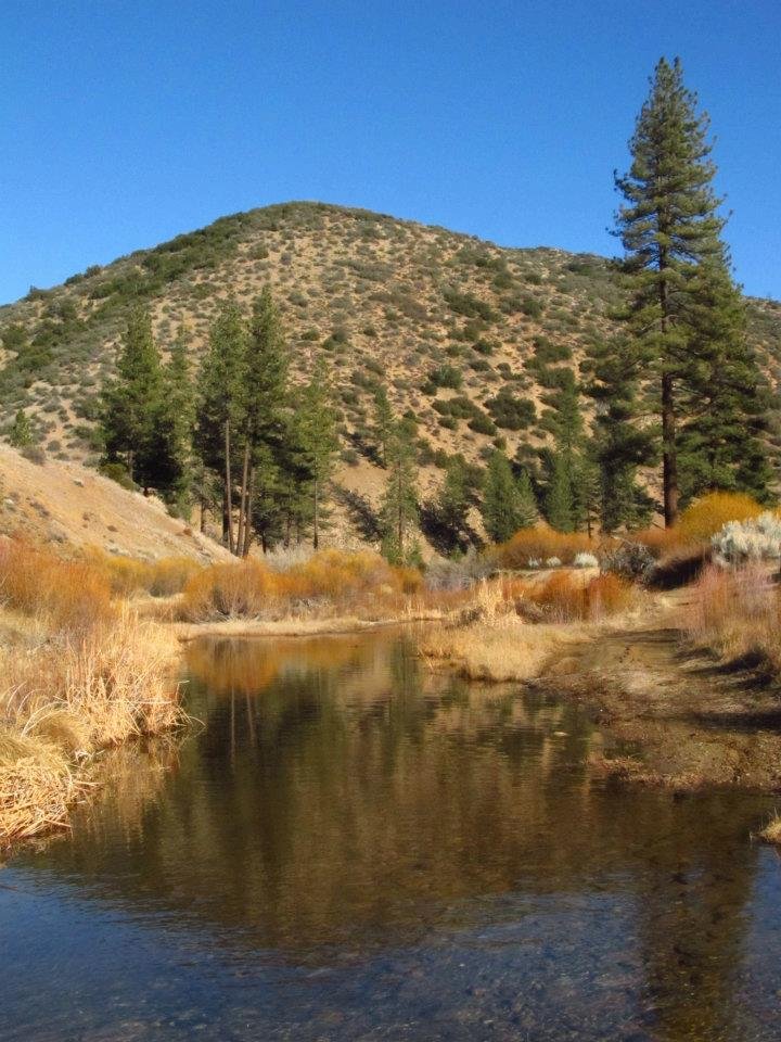
Piru creek
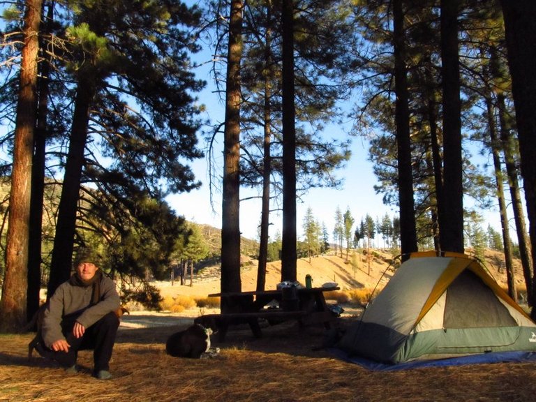
Camping at Halfmoon
The next morning we packed up camp and started our 14 mile march on the dirt road. Back up Piru creek, through Grade valley, over San Guillermo mountain, and back down into Lockwood valley where we began this awesome adventure!
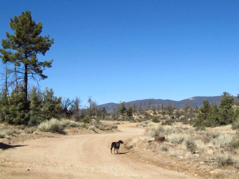
Hiking on the dirt road
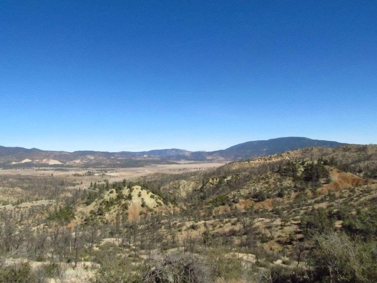
Getting back to Lockwood valley
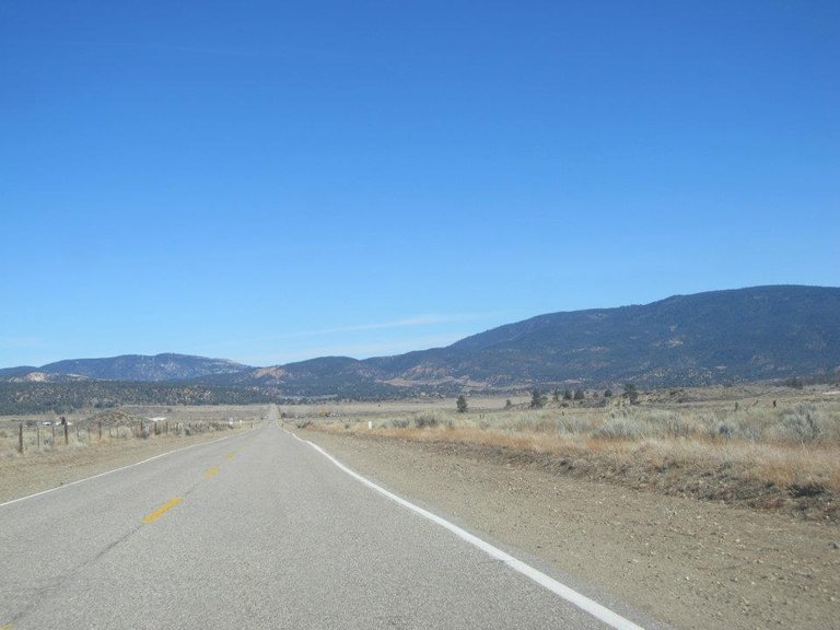
Headed home


 Youtube video -

 Map - !steemitworldmap 34.593840 lat -118.998271 long 'Sespe Hot Springs' D3SCR
Steemit World Map

https://www.facebook.com/CAmountainadventures
https://discord.gg/g22zkFD
It's about time you posted again.. and another fantastic trek... 22 miles each way is a beastly walk.. how much does your backpack weight when loaded?
Ha! I'm trying man, I'm posting 2-3 times a week when I'm around. Ya, 22 miles is quite a long trek for one day thats for sure! I'm usually not one to weigh my pack. I figure I gotta carry it no matter what. But I figure for a 4 day trip like this probably 30-35lbs.
there could have a resort at this place right? like a hot springs resort
50-60 years ago there was a road that followed the Sespe river all the way to theses Hot springs and back then it was more of a "resort" with lots of built up pools and even small rooms built by the main source to utilize the steam to make a sauna!
Wow! Very adventurous. Ivan only imagine hiking 22 miles in my dream. Hot spring in winter, it must be an awesome treat after all the walking/hiking in the dirt road.
I'm all about that adventure! But ya 22 miles is really long. lol. It was surely a relief to finally get down to the hot water and relax.
With almost 87° Celsius, at least you don't need to break a cooker. ;-) How hot were the swimming holes?
Amazing hike! Did you meet any other hikers on the trail or did you have it all for yourself?
Upvoted and resteemed by the @Climbing-Trail!
The @Climbing-Trail is an account dedicated to giving climbing and hiking a platform here on Steemit. It is manually curated by @HaTo.
You can upvote this comment if you like to support the @Climbing-Trail and follow if you want to discover quality content like this on a regular basis!
The hot pools were pretty small and most of them were too hot, but there was one pool just above where the main super hot water joined the cool water. It just had a few smaller hot water sources flowing in and it was very nice. Probably 90-95F. As the creek flows down passed all the hot sources eventually it starts to slowly cool. So the lower part of the creek had a few real nice little pools in the creek that were also at a good temp. I didn't see anyone on this hike until the very last mile on the road where I ran into a few guys that were trying to hunt for quail. Thanks for the support! I enjoy following you and I appreciate what your doing.
It must be amazing to be on your own enjoying those pools. :-)
You're welcome and I'm happy that you like it!
Very nice! Love this post since I am an avid Hot Springs fan myself. I've been to all of them in Calif., minus this one and the hike is probably why! LOL Looks so beautiful, thank you so much for sharing. xx
You must have had to pack a lot of water, did you have pets too? OMGosh. I miss Cali now and all my fav hot Springs. Wahhhhh
O wow what a neat spot!! It's like having your own private hot spring
Ya it's really cool, the whole creek is hot and different spots are different temperatures. A long stretch of it was actually way to hot.
Looks incredible great decision to hike it you made. Thanks for sharing looks like a fantastic place to visit and camp brilliant 💯🐒
Ya, I'm definitely glad I decided to hike it despite the closed road. It is a fantastic place to go!
For sure, on my ever growing list :) 💯🐒
wow.... it's so AMAZING, cool, .... :)
@derekrichardson
Thank you @lidiasteem! I'm really glad you enjoyed it.
this looks like my type of place, i really must visit this one day. Lovely photos.
Thanks @caudiaz! It's a really cool spot, definitely worth the hike.
There's a lot of hard work in a post like this.
Lovely photos, description, and looks like a sound experience as well.
Kudos for the effort!
Cheers!
That is gorgeous. I am so glad you hoofed it all the way up that road so we could see the beautiful water!
Wow. These are amazing places i'd love to visit someday. Unfortunately, i'm stuck in Nigeria for now.
Yes I know how that is! So many amazing places to go, but yet I'm stuck here in California. It's not a bad place to be stuck, but still... I'd really like to travel farther.
Thank your for sharing your journey with us ... I enjoyed the photos and the video
Looks very interesting
Thanks @derekrichardson
Some day I have to explore the parks in US. I have yet to the chance to see US. :)
Its really amazing. In nigeria,there is a resort as well that there is a part of a river that cold and the other part is warm..and the river meets at a point...that place attracts so many people from all over the world.that place is in ekiti state
That looks like a great place to go for a few days. I've seen the video before, but it is a great one, just really fun to watch.
Thanks mom!
Congratulations, Your Post Has Been Added To The Steemit Worldmap!
Author link: http://steemitworldmap.com?author=derekrichardson
Post link: http://steemitworldmap.com?post=sespe-wilderness-adventures-sespe-hot-springs
Want to have your post on the map too?
Add the following inside your post:
!steemitworldmap xxx lat yyy long description d3scr
(replace xxx and yyy with latitude and longitude)
love this journey
Really nice landscapes XD