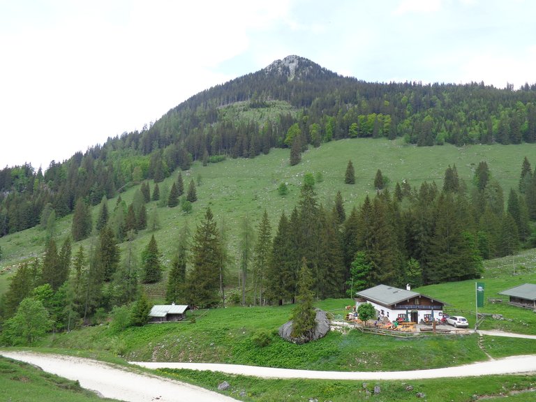
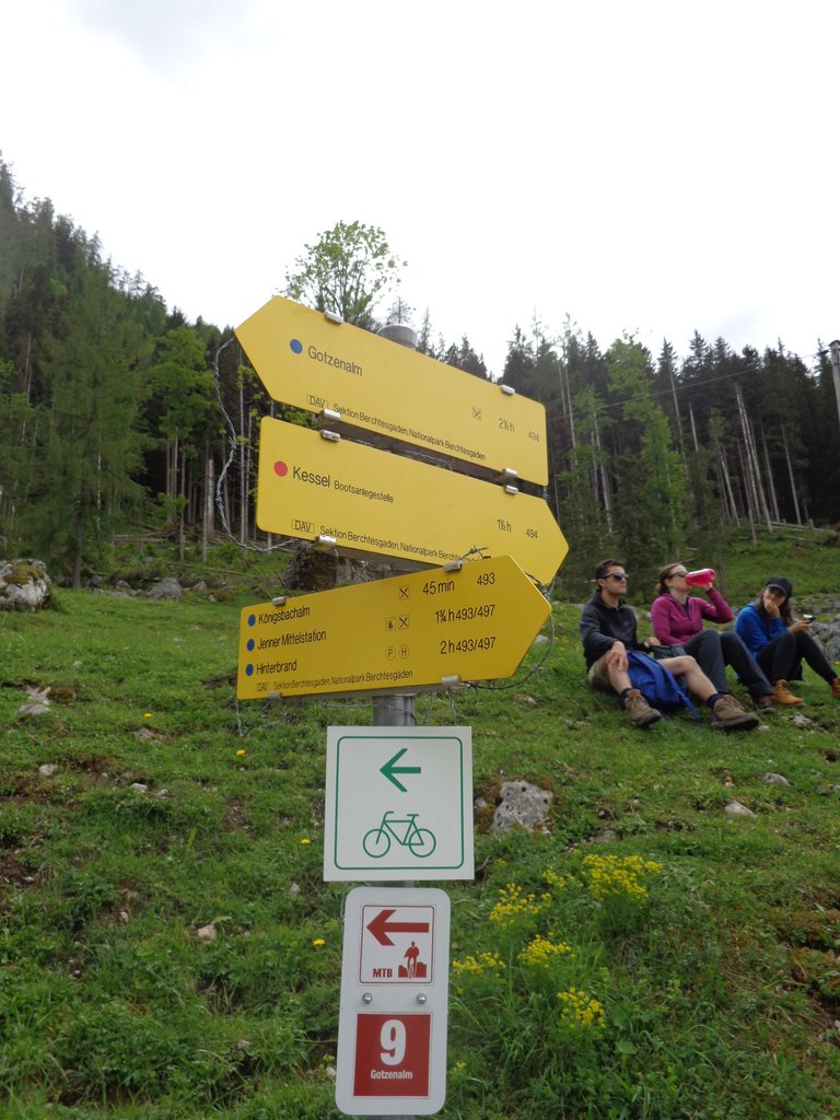
We had been hiking for about 4 hours now... including a stop for beer and wieners at the hut around halfway up Mt Jenner. This is where our decision point was. To head straight back down the mountain, the way we came (boring) or to walk up along the moderately steep road which led up the hill away from Mt Jenner, and essentially shadowed Konigssee from high above (fun!).
It was a surprisingly tough decision. None of us wanted to head back down just yet, but we also had just walked uphill for almost two hours. We were also being guided by tourist maps which for some reason showed the whole region on a deep angle like someone had just discovered the 3D option on google maps, then traced each part. While we could tell where certain trails went, we had no bearing of distance because the trail would dip behind a crest, only to appear on the next peak (which on the map was nothing, but in real life was quite a large distance). Confusing as hell!
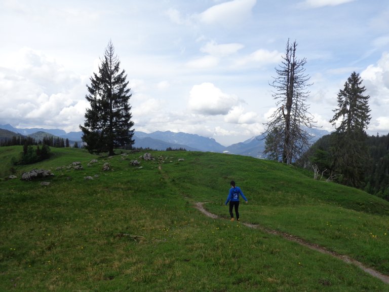
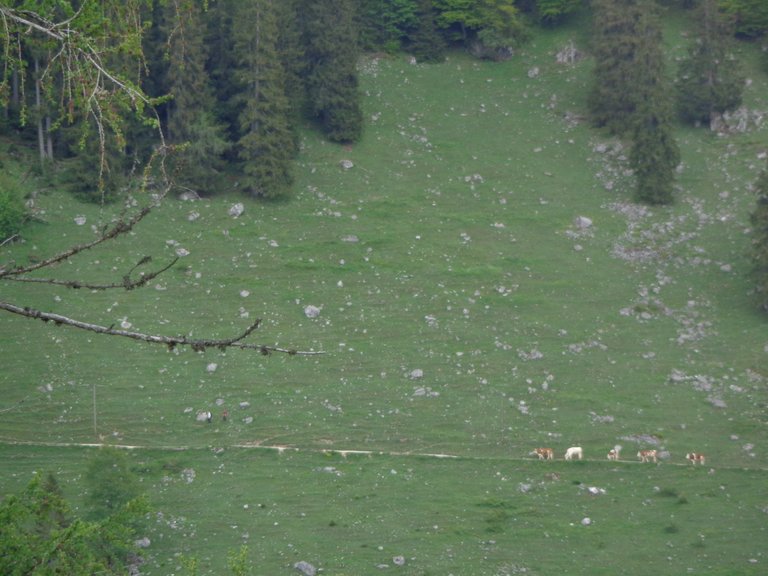
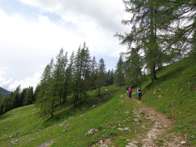
So we decided the next crest would be our decision point. We could tell by the map that it had some form of a view of where we were in comparison to things, and we all threw our backpacks back on, wandered past the ambivalent cows, and up the hill we went. We reached the peak, and meg went on further to see where we were, while I trained my camera on some cows well in the distance.
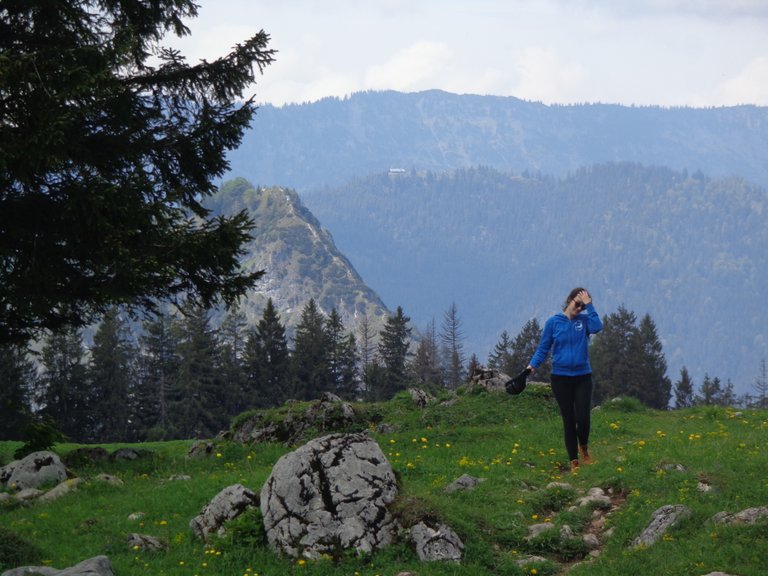
Meg came back from her little inspection trip, seemingly bearing bad news.
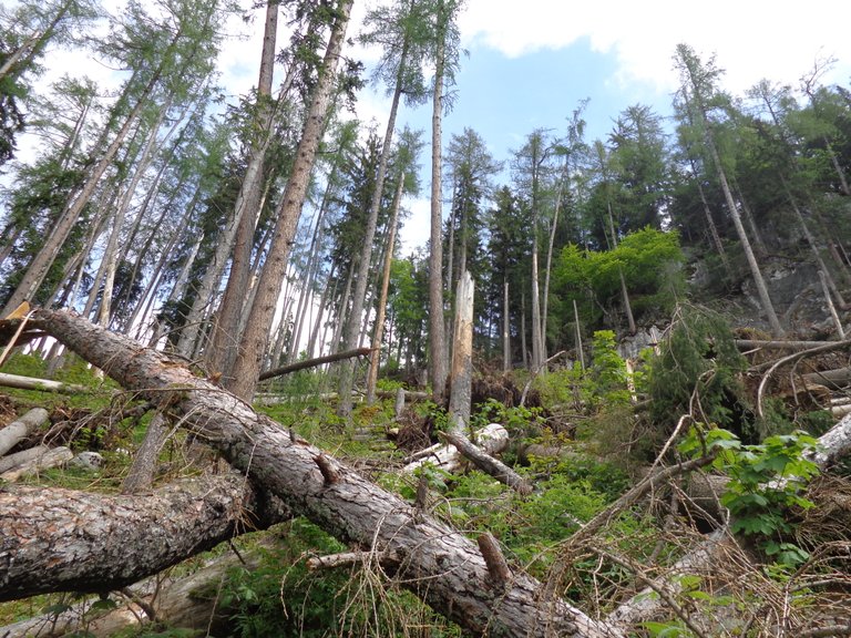
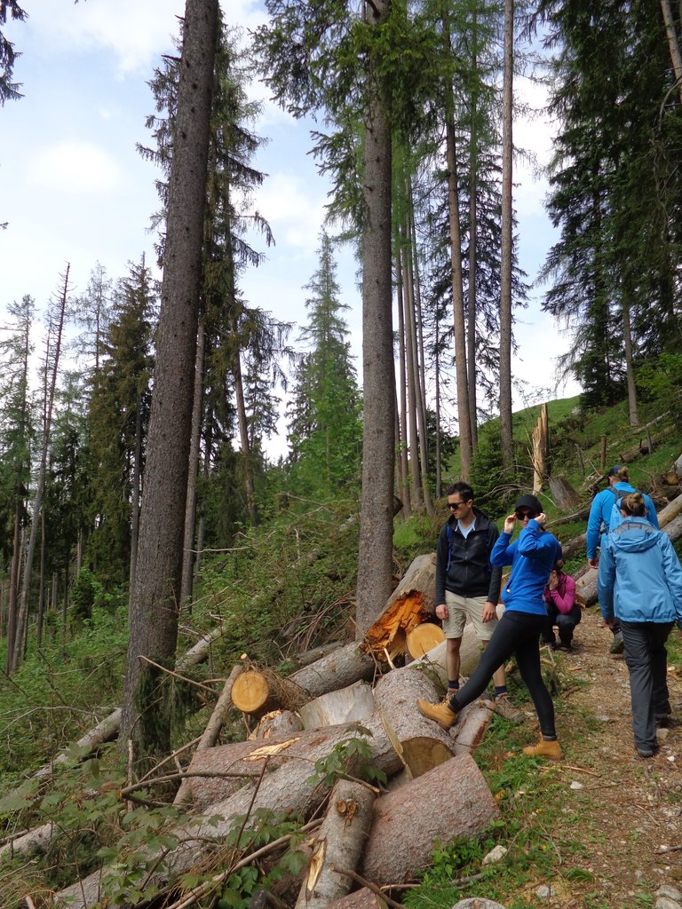
In fact she had no news, so we decided to continue on the path anyway. We immediately entered dense forest, then exited it just the same into a weird logged-but-not-logged area where we stopped once again, not really for any other reason than to talk about the dangers of being a lumberjack...
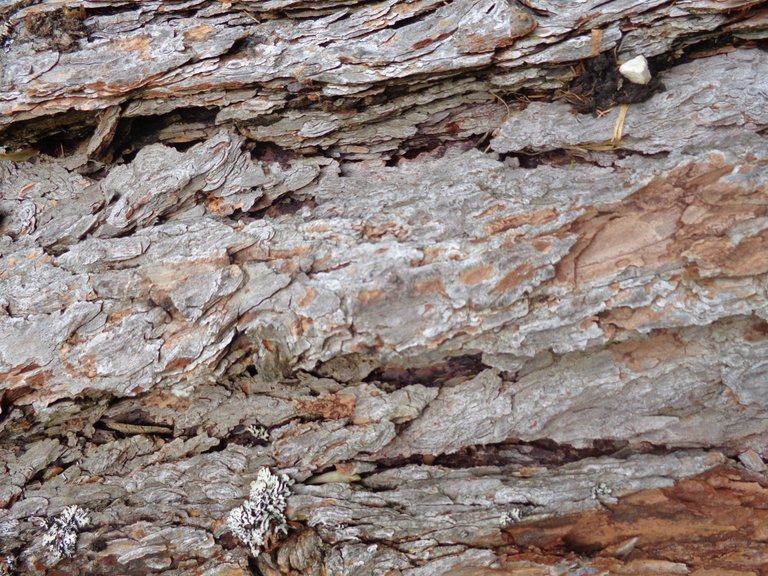
... while also inspecting the bark, and trying to remember any and all information we could muster about tree rings. Four of us, and we had nothing. We decided to wait until Aperol spritz and google time back down at base camp.
Maybe its the view we are enjoying... or maybe it is the logs, but we hang around this spot for an unusually long time, even though we have no plans to head back, before reaching our next goal, which is another hut, but an unoccupied one mainly used for sleeping overnight.
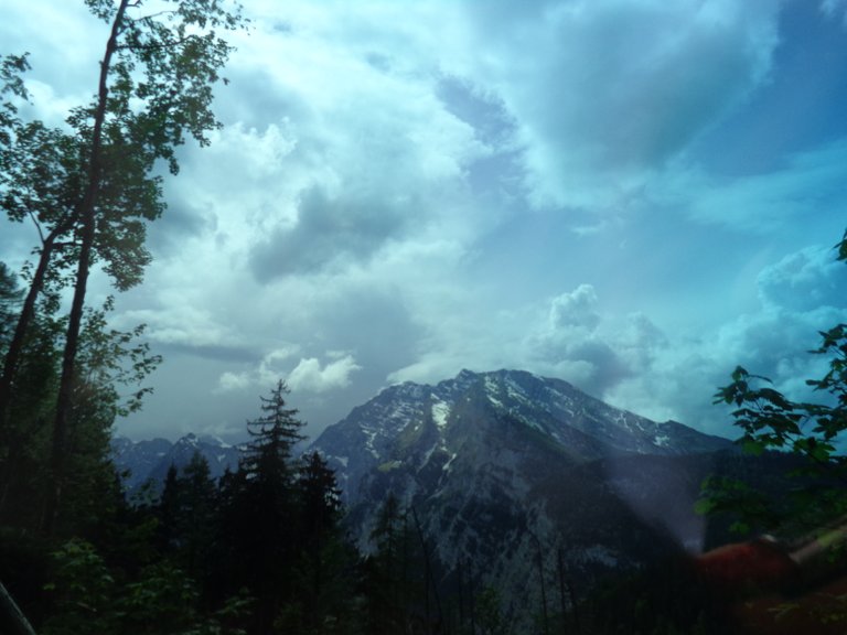
So I stare at the bark still... and does it count as a filter if I take a photo through my sunglasses?
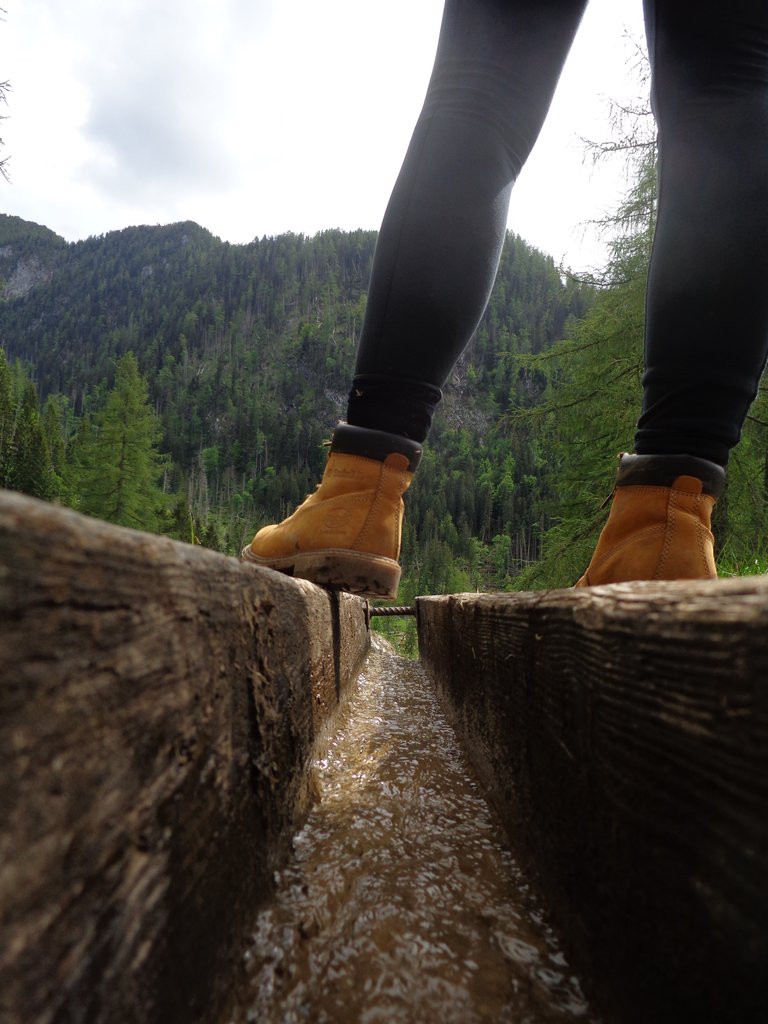
Finally, we head along the beaten path, once again. Through forest, over rocky outcrops and a few crests, with some streams strewn in there for good measure...
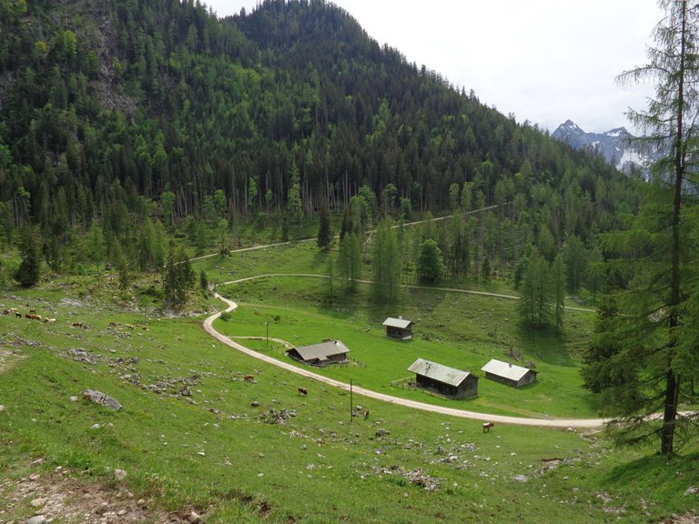
The hut(s) appears over the hill finally and we begin making our way down the windy, steep path.
It is much more isolated than we thought and the only people we see are merely passing through. This is also a huge mountain biking area, though we wonder if the allure and challenge is lost due to the E-bikes ability to basically wheel someone up a mountain while they vaguely imitate what cycling looks like.
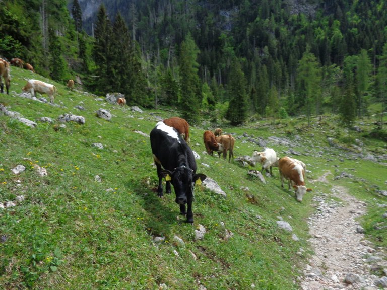
We realise we are hungry, and pass through another herd of mountain grazing cows. Well, rather, I realise I am hungry and am ragging on the mountain bikers too much, while we walk through a herd of slightly unsettling cows.
So we head through an electric fence, around a bend and take a seat just off the dirt road. Snack time!
This is where we decide we are at least 3 hours away from anything resembling our hotel, or a bar which isn't on the side of a mountain, and that the best option is to head back. This decision was not influence by the thunderstorm which had been hinting at its presence all afternoon.
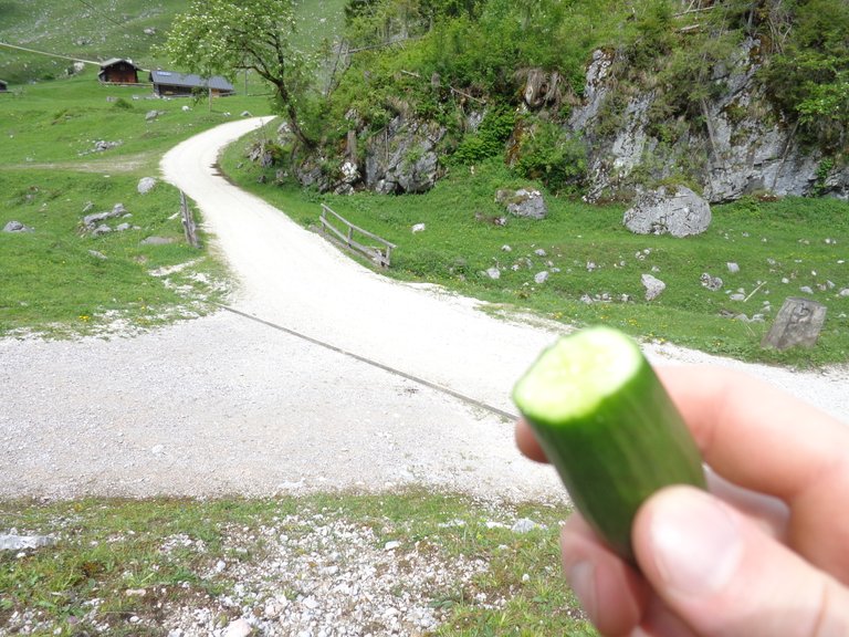
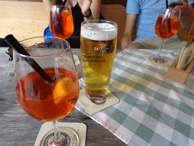
I finish my cucumber, and pack my camera into my bag to protect it from the incoming rain... which never really came. But we powered on through the walk, and charged on down the hill to our afternoons goal - Beers and Aperols, of which I had both.
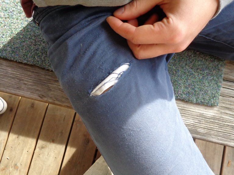
I also said goodbye to my trusty working and walking pants. They served me well over the past few years. They saw me through many good, hard days of work, but just couldn't handle one more day, let alone a mountain.
Rest in peace, Blue Working Pants. You done good.
DanedeBeau
Find previous Mistmatched Travel Diaries posts about Konigssee below and Follow My Blog
MTD - Bavaria - Hiking Konigssee - Up Into The Mountains We Go.
MTD - Bavaria - Hiking Konigssee - Part 1: Das Boot.
MTD - Bavaria - Hiking Konigssee - Part 2: Germany's Highest Waterfall.
MTD - Bavaria - Hiking Konigssee - Part 3: A Boat, On Water, In Rain.
You have a minor misspelling in the following sentence:
It should be weird instead of wierd.Congratulations, Your Post Has Been Added To The Steemit Worldmap!
Author link: http://steemitworldmap.com?author=danedebeau
Post link: http://steemitworldmap.com?post=mistmatched-travel-diaries-bavaria-hiking-konigssee-up-into-the-mountains-we-went-now-across-and-back-down
Want to have your post on the map too?