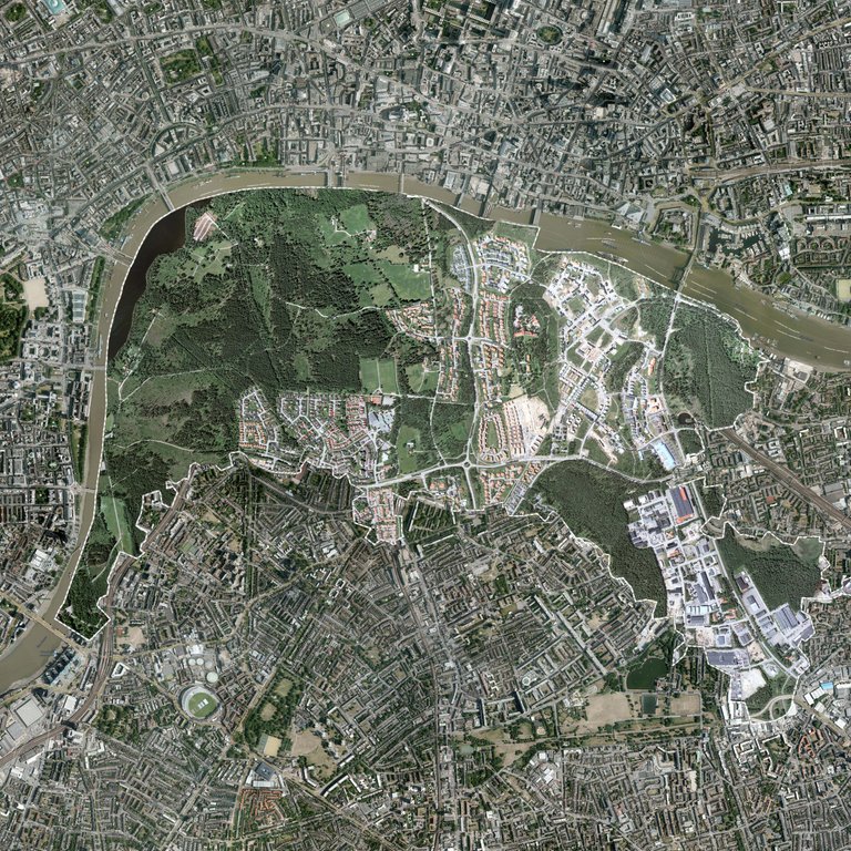
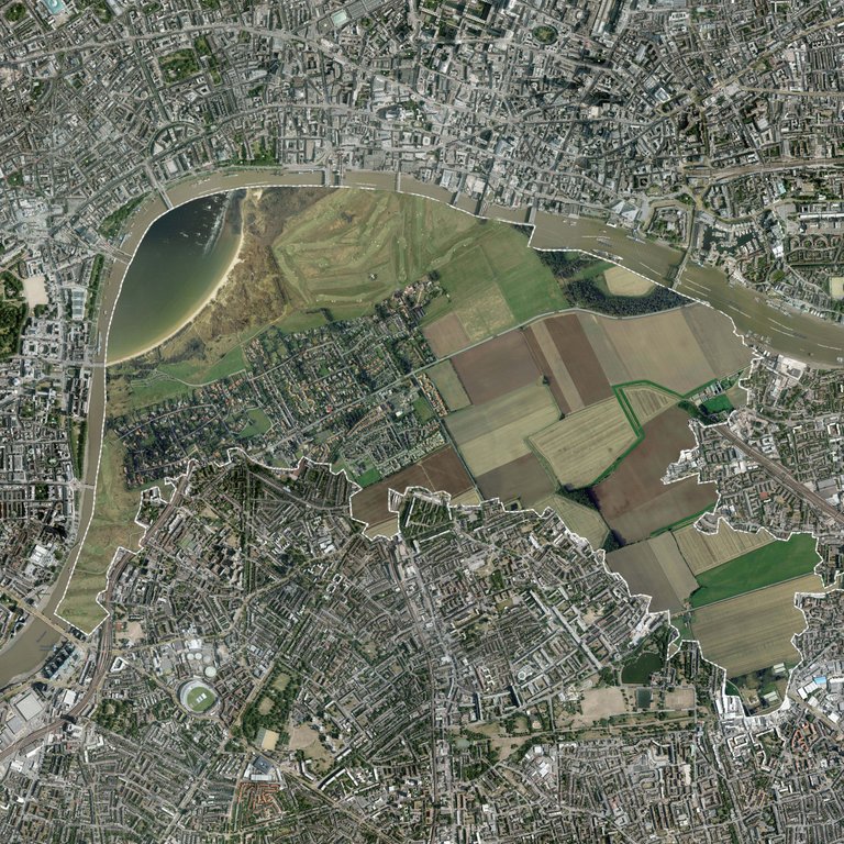
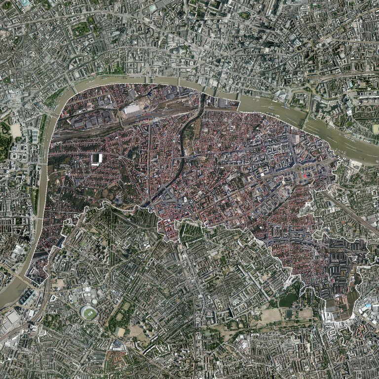
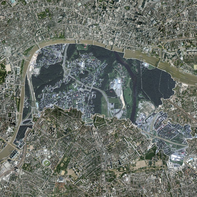
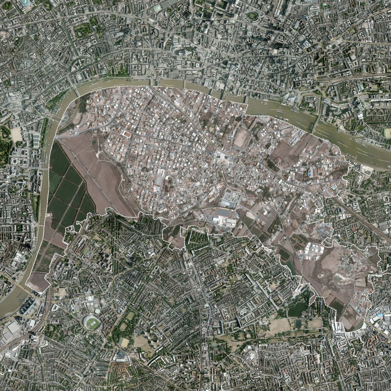
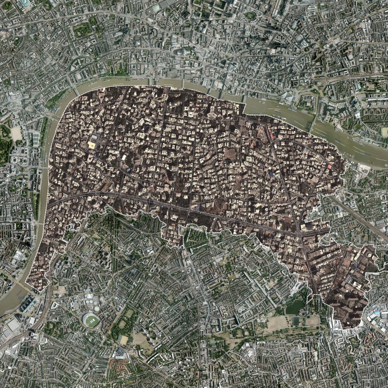
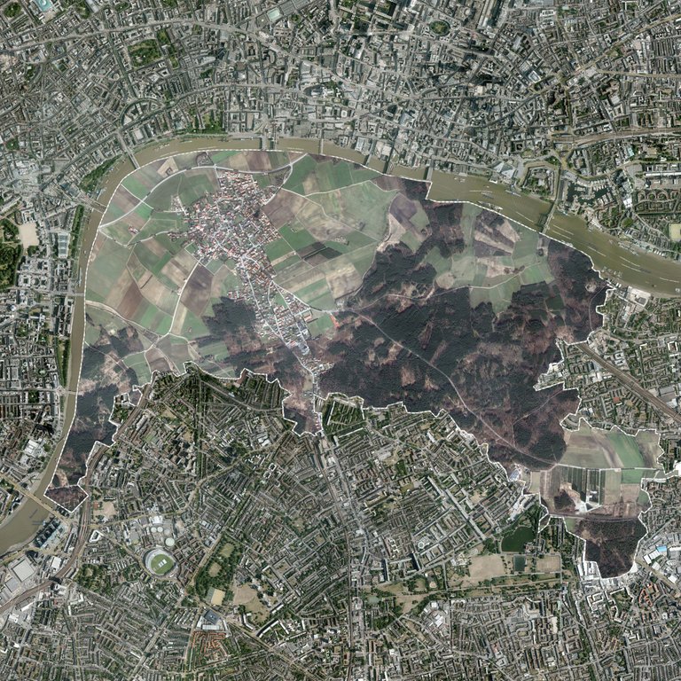
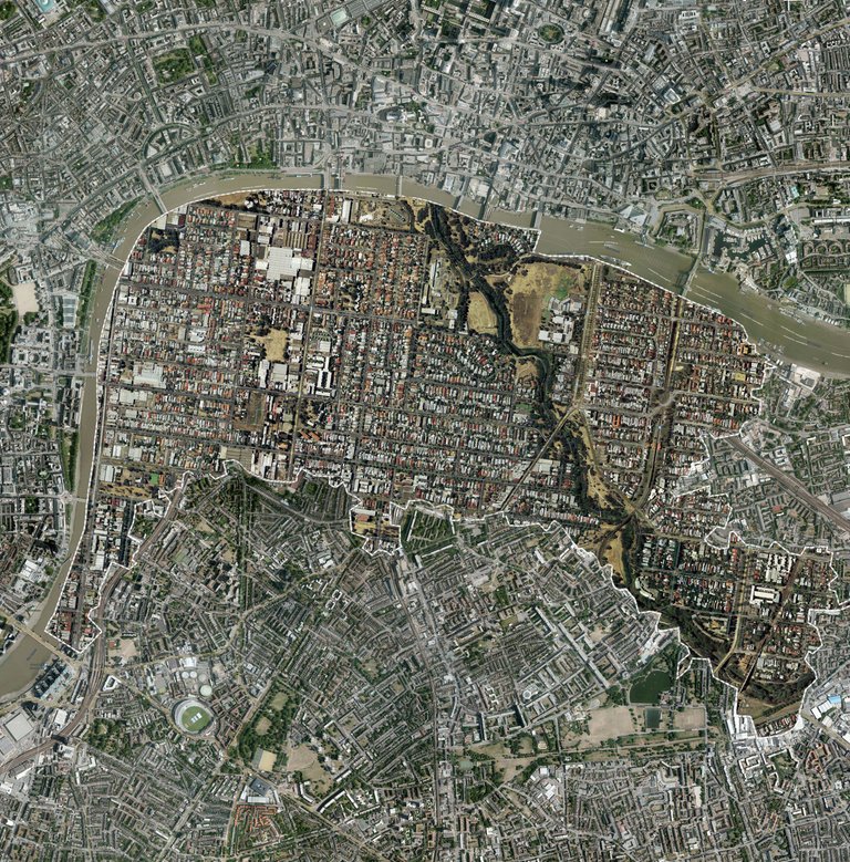
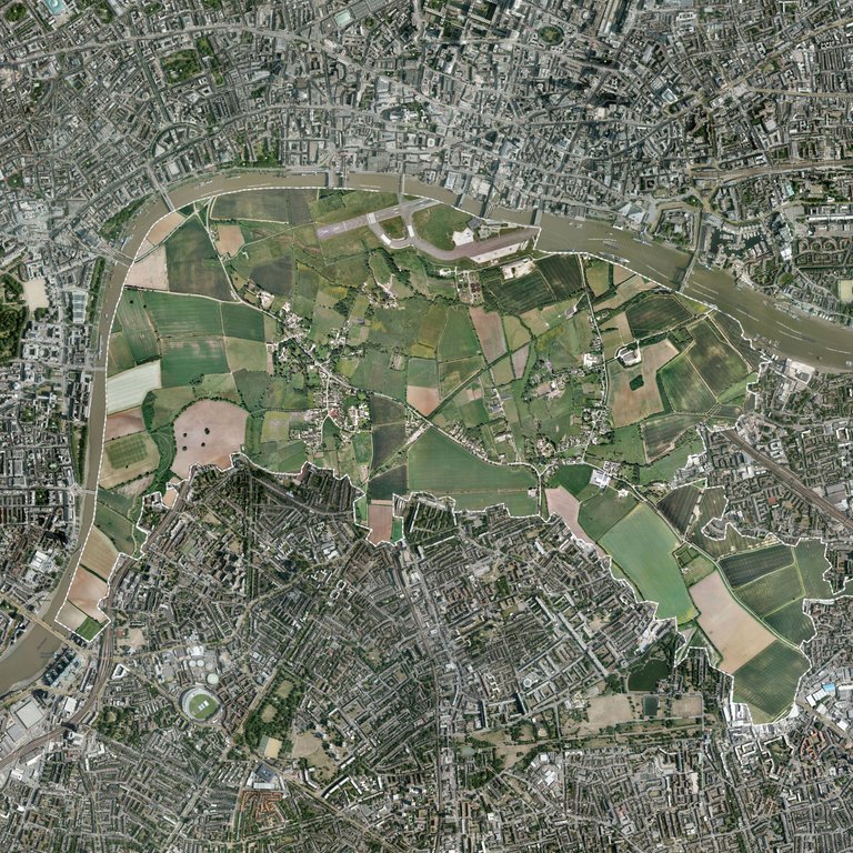
The post code SE1 is found in the borough of Southwark, Central/South London.
I find cartography, the study of maps, interesting and wanted to incorporate it into one of my projects. I looked at the demographics of SE1 and looked at linking some of those ideas into my work but couldn’t find a way to do that. I was also interested in the space within SE1. What could you fit in SE1? I live next to the biggest active military airbase in the UK and that could fit in with room for roughly 2 villages, a small town and surrounding fields as well. Going on from here I am linking people on my course and tutors home areas to SE1 as we all have links to SE1, be it at university or living. I have photoshopped the maps of home areas into SE1 of the people that chose to give me their addresses.
Please leave info if you are aware of anything similar, thanks.
Congratulations @stefancottrell! You received a personal award!
Click here to view your Board of Honor
Congratulations @stefancottrell! You received a personal award!
You can view your badges on your Steem Board and compare to others on the Steem Ranking
Vote for @Steemitboard as a witness to get one more award and increased upvotes!