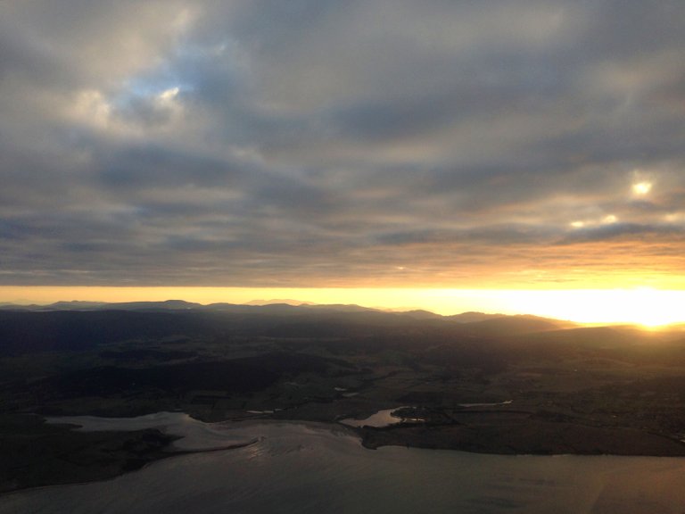
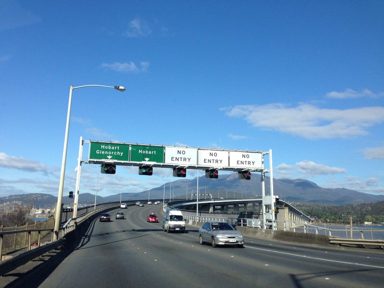
Photo: Approaching Hobart's airport
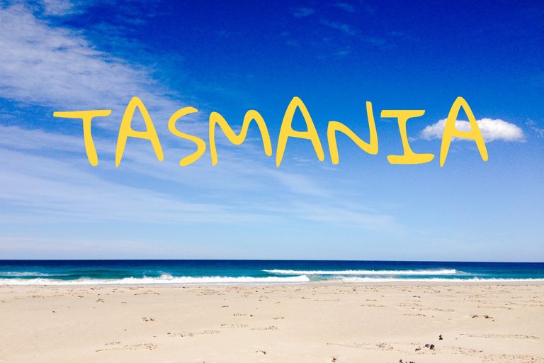
I went for a roadtrip along Tasmania's East coast with my friends. The Australia's Tasmania, not the Africa's Tanzania. Some people thought I went to Africa and asked me for a picture of zebras.
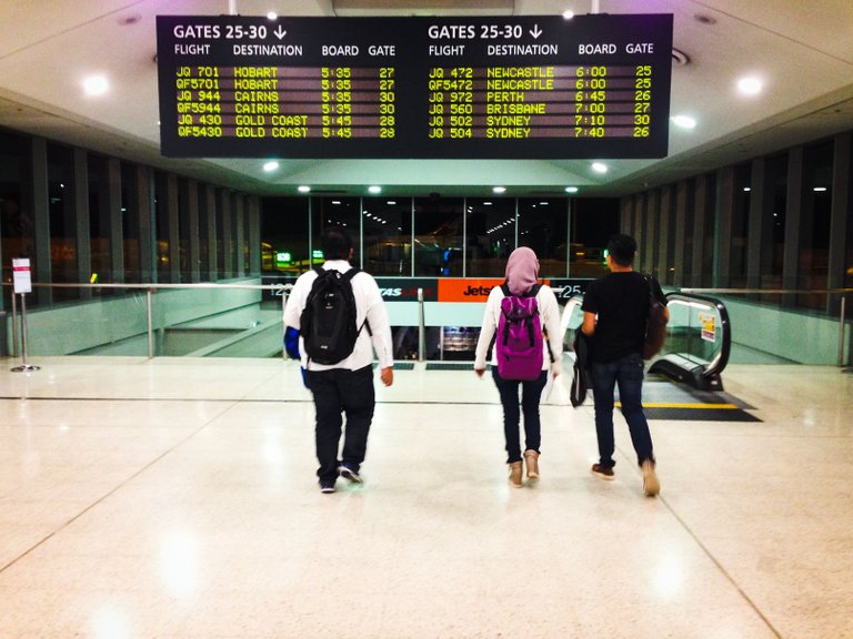
Photo: Tullamarine airport
We headed to Tullamarine, Melbourbe from Kuala Lumpur because there was no direct flight to Tasmania from Malaysia. From Tullamarine, I took another flight to Hobart, south city on the island of Tasmania. Tasmania is not a small island. It looks small on the world map because it sit next to the enourmous Australia. The drive started in Hobart.
We welcomed by Hobart's blue morning sky. Hobart is a very peaceful and calm city with a beautiful blue sky and breathtaking mount Wellington as its backdrop.
Photo: Hobart's sky
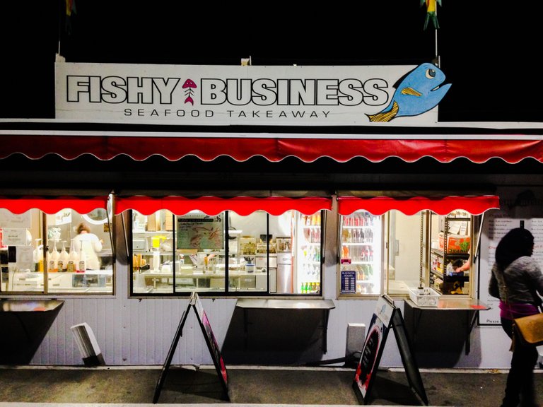
Photo: Floating fish and chips shop in Hobart. Delicious!
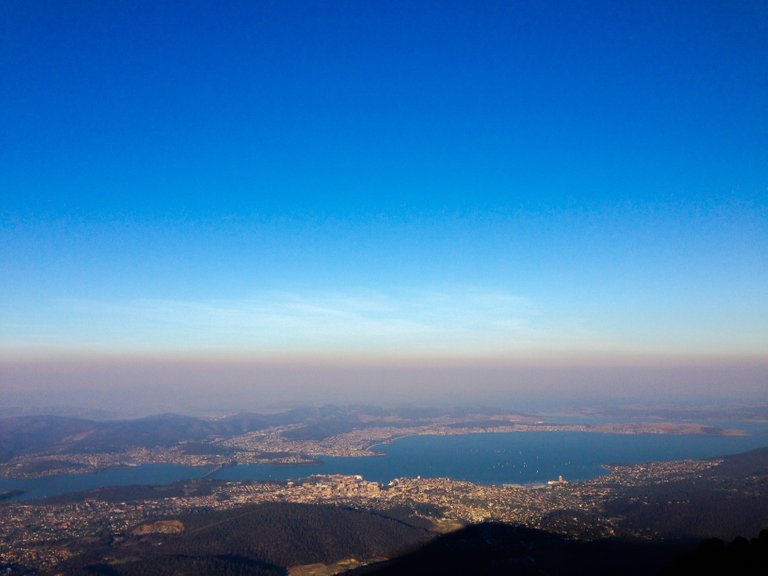
Photo: On top of Mount Wellington. You can drive to this top.
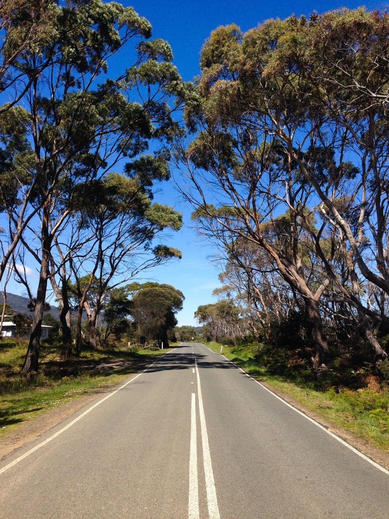
Then we crossed the strait of D'Entrecasteaux on a ferry for Bruny island. The crossing point is called Kettering. Bruny is a smaller island, part of Tasmania. It is incredibly quiet and beautiful. I saw not more than 5 people at the time I was there. Maybe that time, it was not a peak tourism season I guess. You can direct your camera anywhere, and you will get a beautiful postcard kind of photograph.
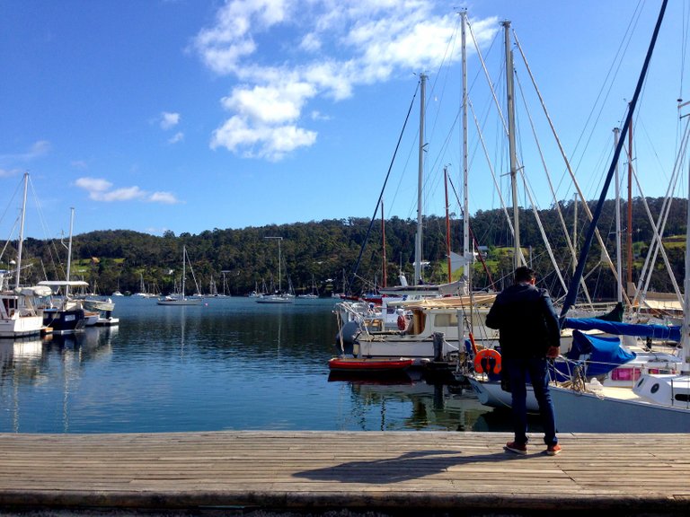
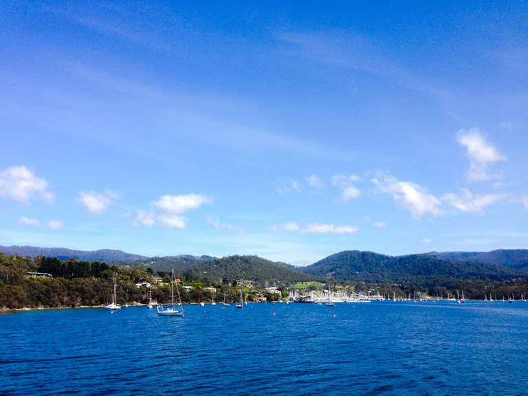
Photo: Kettering
Photo: On the ferry, crossing the strait of D'Entrecasteaux from Kettering to Bruny island.
Photo: Empty road, Bruny island.
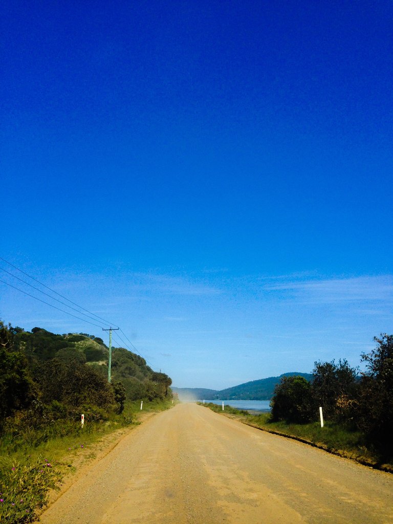
Photo: Some area on the Bruny island is connected with gravel road. But, it did not bother us.
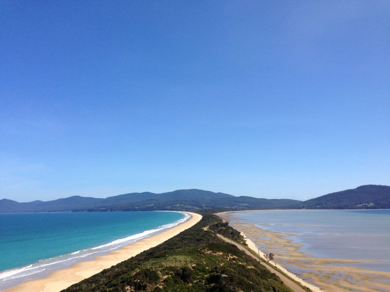
Photo: The Neck. One of geological wonders of Bruny island.
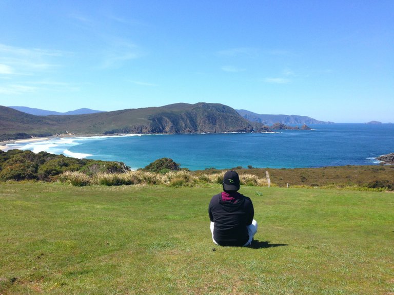
Photo: End of the road.
Then, to Bonorong. They have one animal sanctuary here. One of the rangers here said, you may also call them if you saw a dead kangaroo or wallaby on the road or at the roadside. This is because, that dead kangaroo may be a mother with an alive baby inside its pocket.
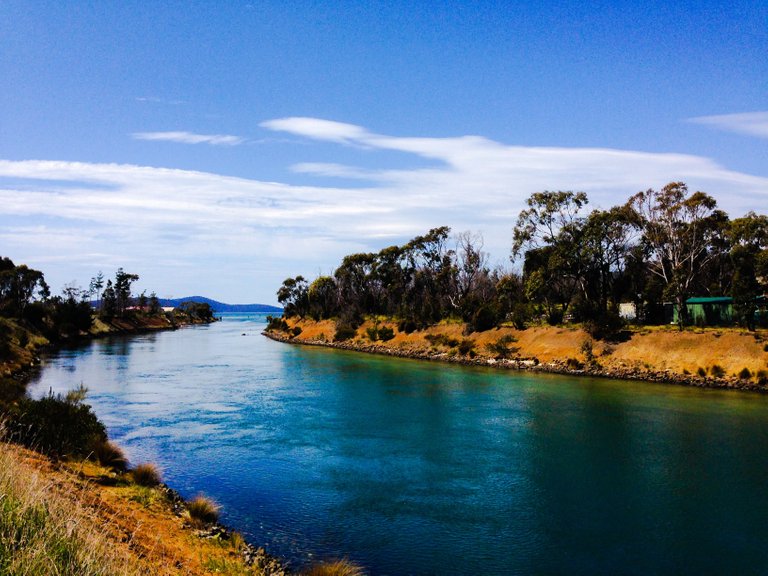
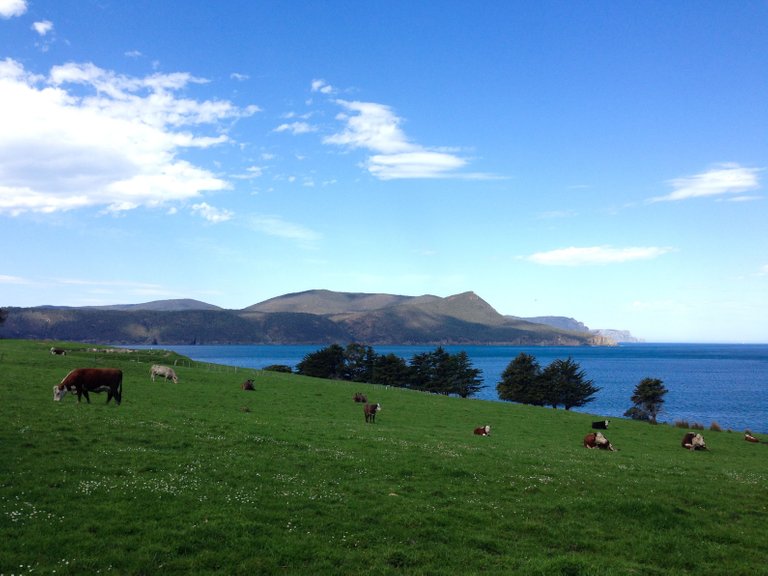
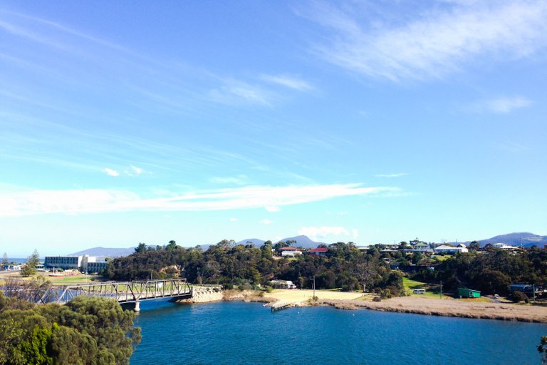
At Dunalley, the stop was actually for a toilet break. But look at the river. It is a view I saw at the back of a public toilet. Another things you can saw a lot is cow and sheep farm. It is one of the Tasmanias' industries.
Photo: Dunnaley
Next, Port Arthur. Everywhere is beautiful in Tasmania. It is so calm. Owh, notes for drivers or riders, just be extra careful and watch for the animals. You will share the road with koalas, wombats, wallabies, tasmanian devils and more. No need to rush because the view are magnificent here. And the speed limit on this island is mostly around 60 to 80 km per hour. Just take your time and enjoy. That magnificent description is suitable for the whole journey on that south to west road.
Photo: Port Arthur
Photo: Maingon bay of Port Arthur.
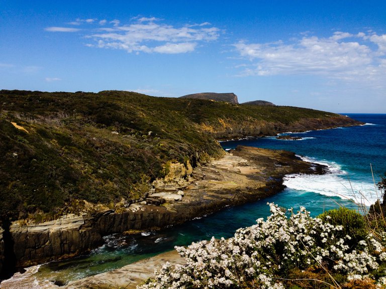
Then, we went to Eaglehawk Neck for some rocks. I mean, geological kind of rocks, not ACDC kind of rocks. We visit the Tasmans Arch and also the Tesselated Pavement.
Then, to Bicheno we go. Bicheno is kind of residenfial area. Beautiful beach side residential area. Famous for the blowhole, where the sea water pushed through the holes in granites by waves power. Natural fountain I guess.
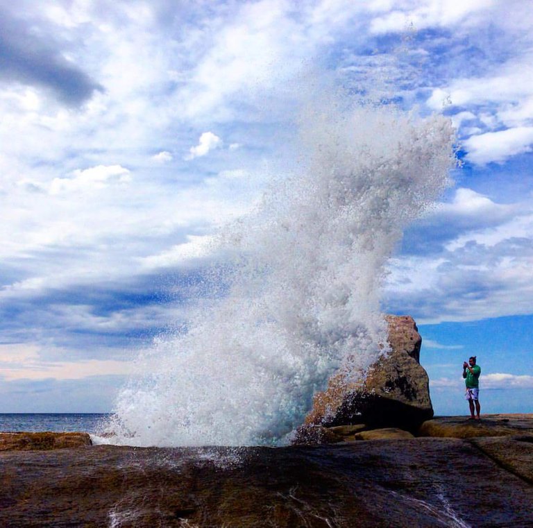
Photo: Bicheno's blowhole
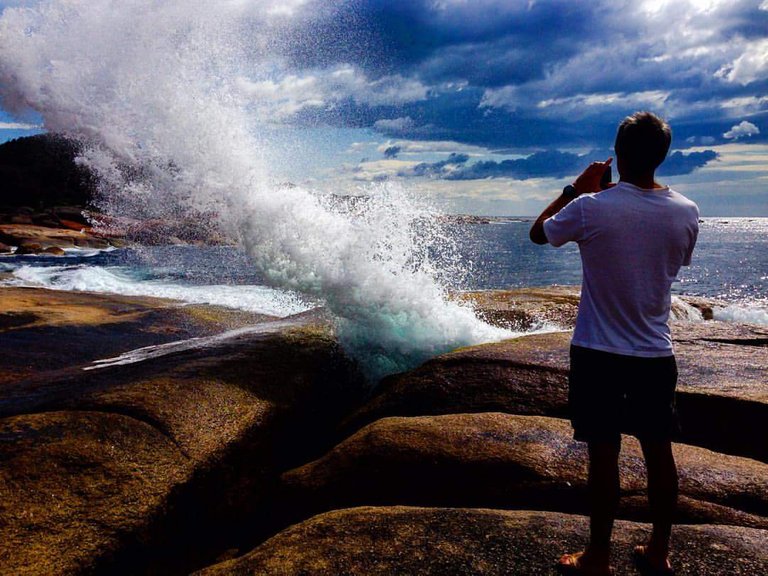
Photo: Bicheno's blowhole
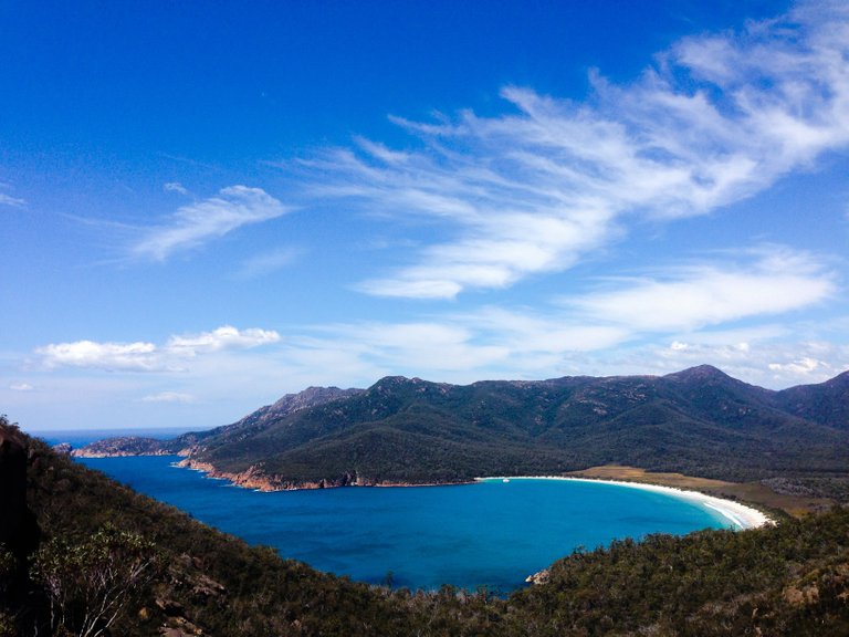
Next, Wineglass Bay at the Freycinet national park. I hiked to the lookout point. That is my fitness limit. I do not have any energy left for another hike down to the beach.
Photo: Wineglass Bay from the lookout point.
Then, we stopped at Scamander. Our homestay have a river mouth at the back. So we have sea view and also river view. It's a very quiet place.
Photo: At the back of the homestay in Scamander.
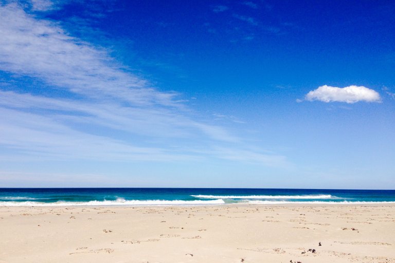
Photo: Roadside beach at Scamander.
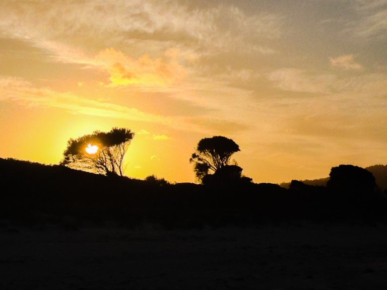
Here is the picture of sunset at Binalong Bay. Beach with clean sand and quiet surrounding.
Photo: Sunset at Binalong.
We arrived at small mining town of Avoca. We stopped for coffee and waffle and ice cream. It was super windy there.
Next, Wynyard. We stopped at a morning market, by the sea. Then we headed for tulip farm, which is what Wynyard well known for. We went to Table Cape tulip farm. Colourful views indeed.
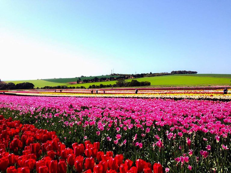
Photo: Van Diemen farm, Table Cape.
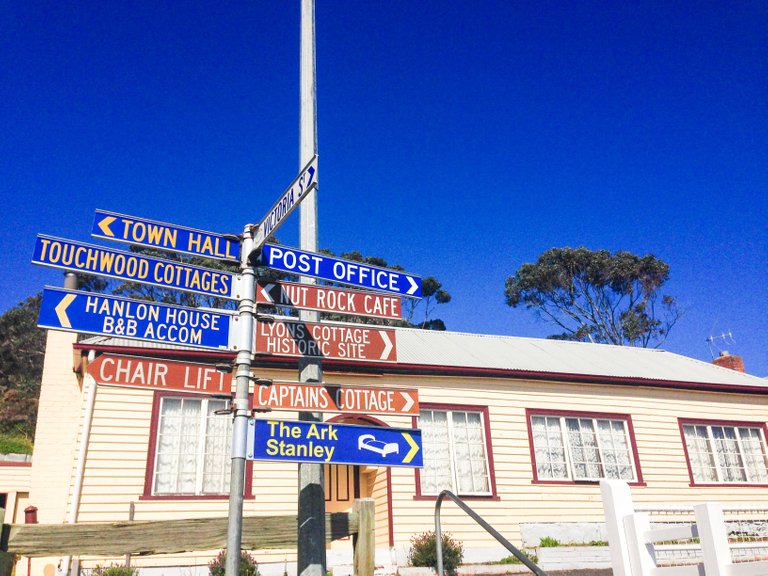
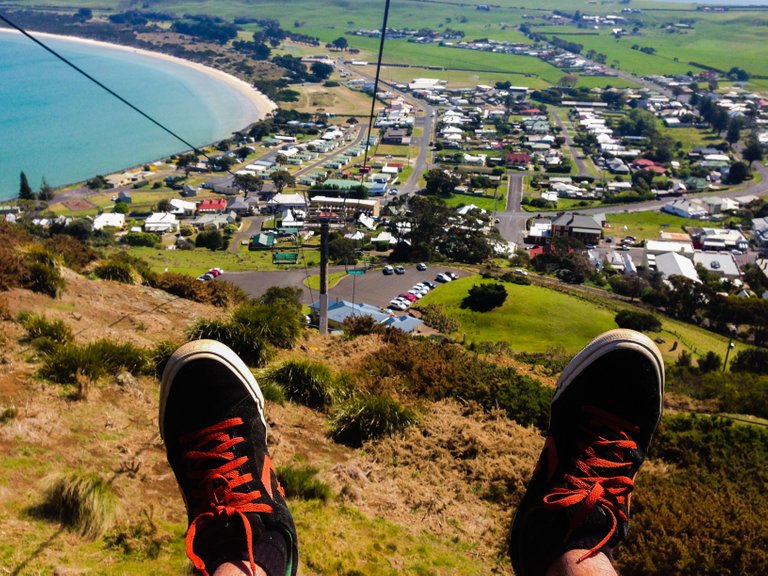
We arrived at Stanley. It is a small fishing town. Very beautiful. Here, you can have a view of Stanley if you go up the Nut State Reserve. If you do not want to hike also can. For 16 australian dollars, you can go up by using the chairlift.
Photo: Stanley.
Photo: Stanley's chairlift ride.
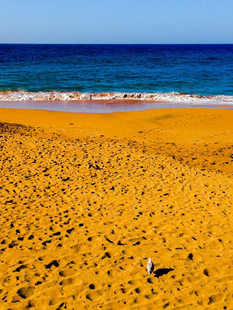
We stopped at Burnie beach for fish and chips. The food tastes better when you eat them with beautiful view and nice weather. And a lot of birds here. And how was the fish and chips? Great!
Photo: The bird, the sand and the blue.
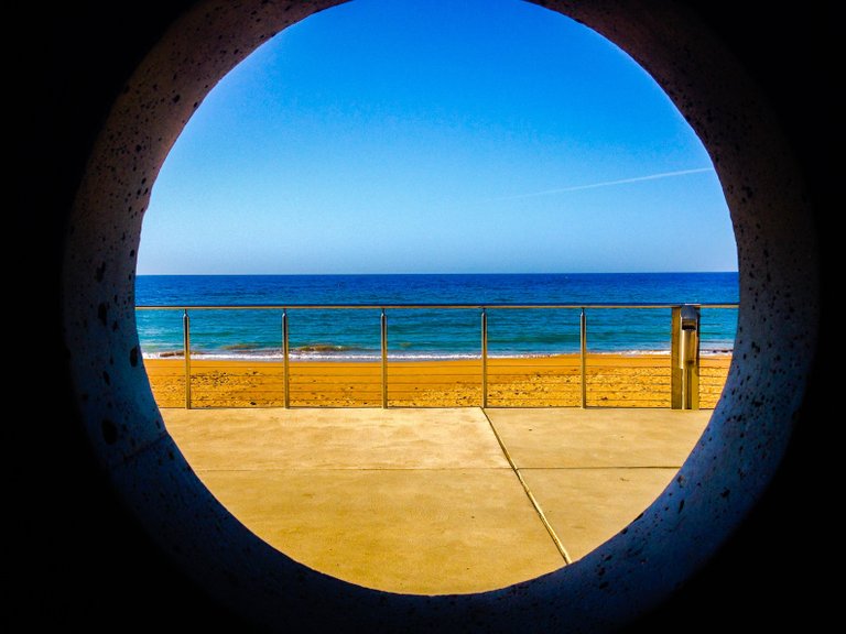
Photo: Burnie's beach.
We went to Elizabeth town for a breakfast at Cafe Raspberry. They have a fresh tastin raspberry jam and juice.
We also visit Grindelwald. It is developed in the style of a Swiss village by a Dutch immigrant by the name Roelf Vos.
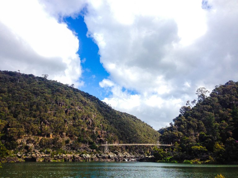
Launceston is another Tasmania's city. We will fly back to Melbourbe via Launceston. Like Hobart, Launceston also have a nature reserve. A city with a nature reserves is the best city for me.
Photo: Cataract Gorge reserve, Launceston.
Photo by Nadhir
nice trip, upvoted
This post received a 1.5% upvote from @randowhale thanks to @arobert! For more information, click here!
Gorgeous pics. I honestly had no idea where Tasmania was located.
Congratulations @nadhir! You have completed some achievement on Steemit and have been rewarded with new badge(s) :
Click on any badge to view your own Board of Honor on SteemitBoard.
For more information about SteemitBoard, click here
If you no longer want to receive notifications, reply to this comment with the word
STOP