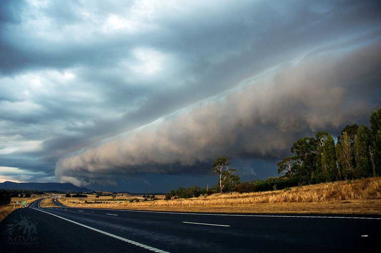
A gust front is the leading edge of cool air rushing down and out from a thunderstorm. There are two main reasons why the air flows out of some thunderstoms so rapidly.
The primary reason is the presence of relatively dry (low humidity) air in the lower atmosphere. This dry air causes some of the rain falling through it to evaporate, which cools the air. Since cool air sinks (just as warm air rises), this causes a down-rush of air that spreads out at the ground. The edge of this rapidly spreading cool pool of air is the gust front.
The second reason is that the falling precipitation produces a drag on the air, forcing it downward. If the wind following the gust front is intense and damaging, the windstorm is known as a downburst.
Image taken looking towards the Macedon Ranges, Victoria, Australia.

@mattworkowski Awesome photo! It's great to see quality work from other photographers on this platform!! Upvoted and followed :)
@powelluke, thanks very much for the positive feedback.