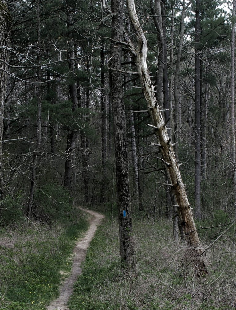
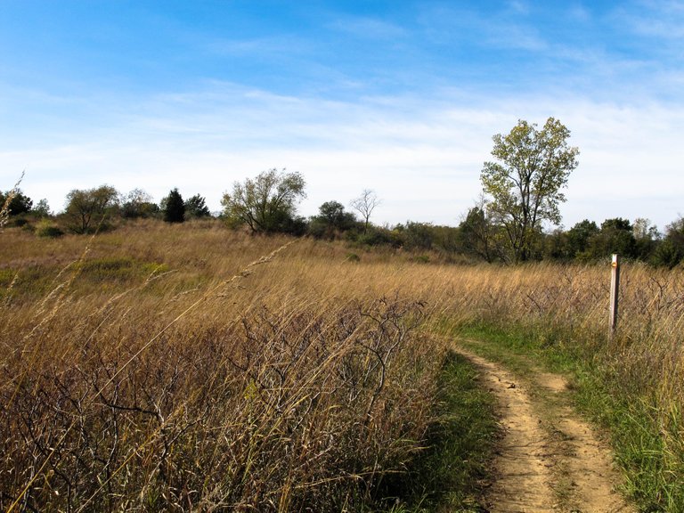
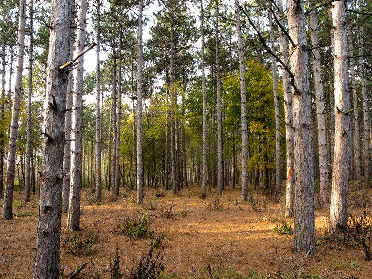
Here are some photos of Wisconsin's Ice Age Trail. This trail extends all the way through Wisconsin and ends up near Canada. Only a few people have completed the entire thing, but I make sure to check out as many sections of the trail as I can.


Here are some photos of Wisconsin's Ice Age Trail. This trail extends all the way through Wisconsin and ends up near Canada. Only a few people have completed the entire thing, but I make sure to check out as many sections of the trail as I can.


Is this where the glaciers stopped moving south during the Ice Age? I know the Great Lakes were carved by glaciers during that time. The copper deposits in northern Michigan came from those glaciers for example.
Thanks so much for the reply. Fascinating geological history in the photo. Look forward to seeing more in the trail. Hopefully the glaciers won't make a reappearance in our life time. They don't call it global weirding for nothing. :P
Yes the Ice Age Trail is carved around spots where this is most visible.
The place with the largest hills and ridges would be the "Driftless Region", specifically named after this. I have a few photos of the driftless region in my past blogs and I will be posting more photos of it in the future.
Also, reddish cliffs with the copper deposits in the UP are beautiful. @hartstuff1
Congratulations @domedward! You have completed some achievement on Steemit and have been rewarded with new badge(s) :
Click on any badge to view your own Board of Honor on SteemitBoard.
For more information about SteemitBoard, click here
If you no longer want to receive notifications, reply to this comment with the word
STOP