Hi Folks!
The next day of our stay on Lofoten and the next trip - for this day we planned to go up the mountains and we chose a very popular path to Ryten 543m.
After dark, rainy and stormy days we got a nice sunlight in the morning - photo below shows the conditions on the way to the parking place where our path begins.
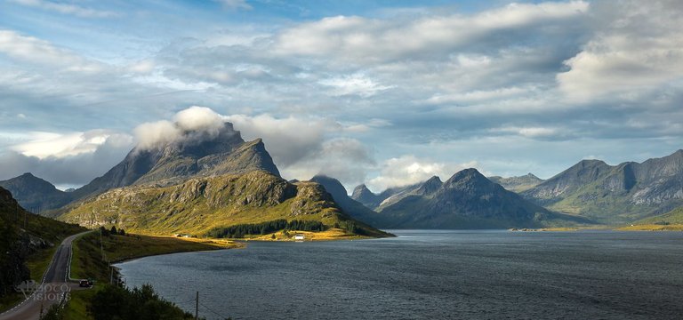
All the official and legal parking spots there are paid and there is a limited space for cars.
Mind that if You will plan to visit the place.
Even after the main summer season there was no any more places after 12 o'clock.
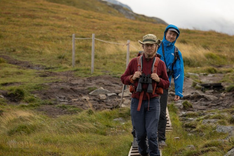
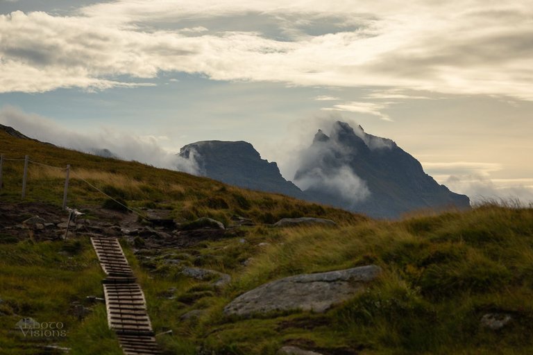
The path itself offers a nice views to different directions. It is very well prepared, many wooden bridges lead over swampy and wet areas, some chains are helping to climb the most steep areas, there is no way to get lost or feel uncomfortable there ;). Which is in my opinion too much for a hiker who looks for adventure ;)
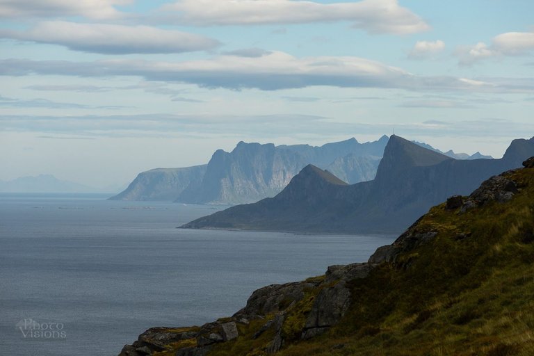
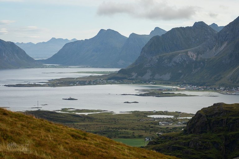
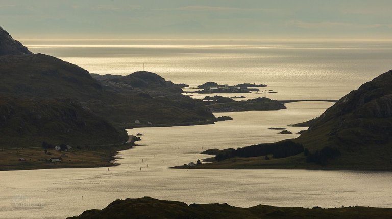
Below You can see the view towards the Ramberg area, Leknes and Skagsanden Beach.
And as You can see there, the air was hazy and the light was flat.
Unfortunately there was no any good conditions for photography so I mostly focus on going up and up... to reach the top and see the final view towards the Kvalvika Beach which is reason why the people are going there...
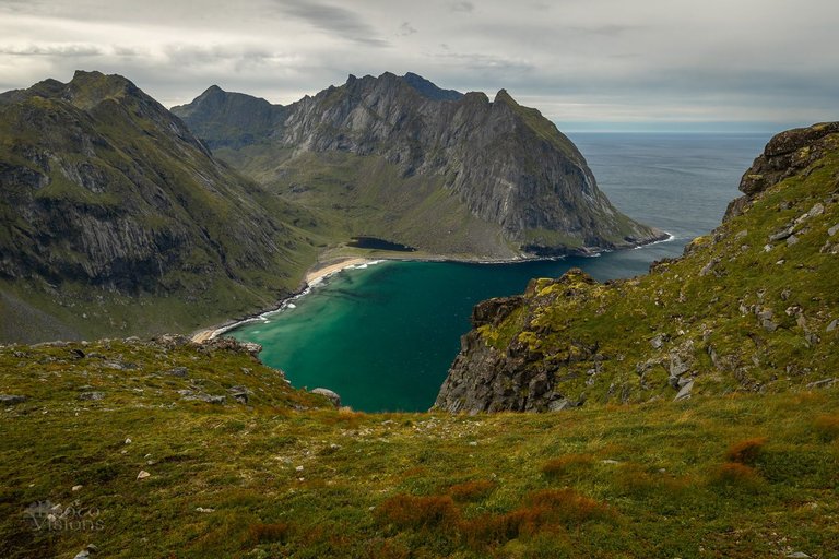
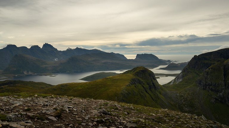
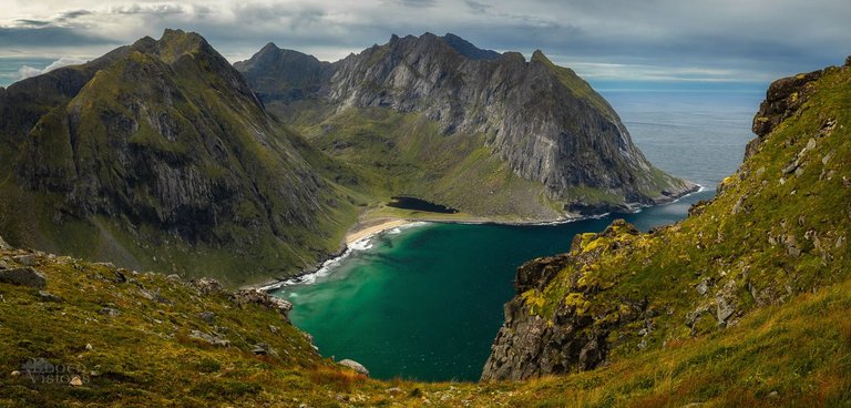
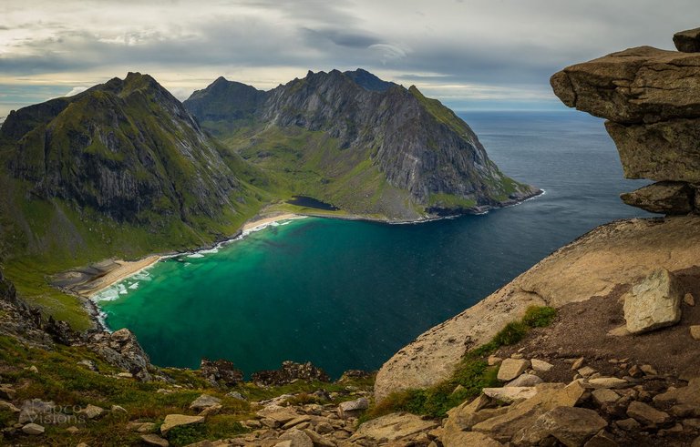
Kvalvika Bay and the Beach looks amazing from the top - white sand, shallow shoreline, amazing colour of the clear sea water.
If You wish to see this hiking trip on a movie, You can find it in the beginning of this video:
It is possible to take an alternative path on the way to Ryten, just to visit the beach. It is extra an haour maybe so I think it is worth to do so, I am sure the beach and the steep mountains around looks great from the below.
We decided not to go there that day as there was no any good conditions and it was out from our previous plan.
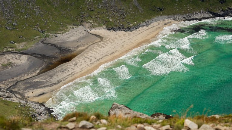
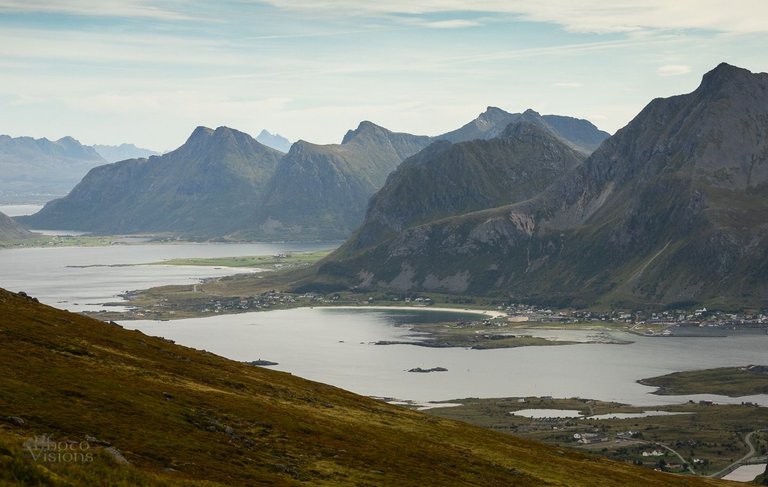
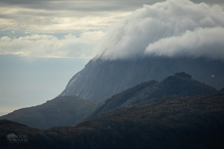
The weather we had that day on the top made us to take a quick retreat - it is not visible on the photos but it was extremely windy and cold.
It was really hard to stand straight and breathe normally on the top. Wind blows was so hard that it was dangerous to go somewhere near the edge to see the beach.
After few hours we made this whole trail without any problems.
I think that it is the reason why this path is so popular - easy to access, easy to hike up, good preparation of the path and the stunning views over the island, beach and the sea from the top.
For me personally this was a bit too boring. Maybe because the conditions for photography were poor I didn't enjoyed it as much as I should.
I am sure this place offer a lot if the weather or time of the day is better.
For sure it is a great location for any sunsets or sunrises especially in summertime where the sun will be placed more on the Northern side.
If I will have any opportunity I will go there but then I will be targeting much more prefereable light conditions.
CHEERS guys for watching, reading and for all the support!
I hope You will stay tuned for more stories and galleries form the Northern Norway!
My Patronite / Mój Patronite - dołącz, wesprzyj mój projekt i zostań FotoWizjonerem! / Support my Photography Project and become a Patron: https://patronite.pl/projekt-photovisions/description
Places to visit:
My YouTube channel: https://www.youtube.com/@projektphotovisions
My Web Site: https://adrianszatewicz.wixsite.com/photovisions
My insta: https://www.instagram.com/photo_visions/
My FB fanpage: https://www.facebook.com/AdrianSzatewiczPhotovisions/
My 35Photo: https://35photo.pro/adrianszatewicz
My 500px site: https://500px.com/photovisions_by_adrianszatewicz
Remember! Upvoting, Sharing and Following are the best way to show the authors that You like their work!
