Sinabung volcano is a volcano in Karo Highlands, Karo District, North Sumatra, Indonesia. Sinabung along Sibayak Mountain nearby are two active volcanoes in North Sumatra and the second highest peak in the province. The height of this mountain is 2,451 meters.
This mountain has never been recorded erupted since 1600, [2] but suddenly reactivated by erupting in 2010. The last eruption of this mountain occurred since September 2013 and lasted until now.
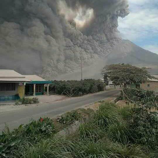
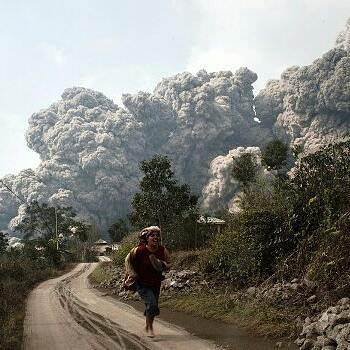
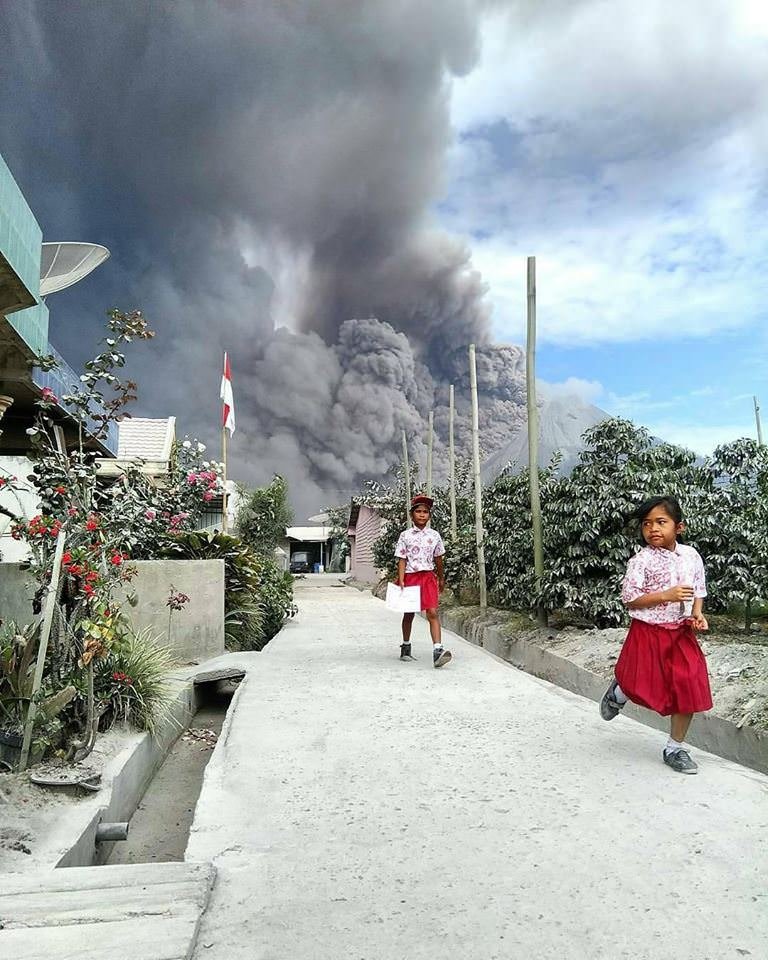
Sinabung volcano again erupted this morning. The burst of material from the eruption is as far as 4 kilometers.
"The height of the ash column of the eruption reaches 4 km, the amplitude of 120 millimeters, and the length of the 343 second volcanic earthquake on May 20, 2017 at 06.46 WIB The wind slowly to the southeast," said Head of Data Information and Public Relations of Disaster National Agency (BNPB) Sutopo Purwo Nugroho in his written statement on Saturday (05/20/2017).
Here is a picture of a volcano of sinabung that I took from various news sources, because the location of the mountain is far from where I live, then the photo I can not take directly.
Although there was an eruption this morning, there was no additional refugees. From BNPB records, up to now there are 7,214 total evacuees in 8 refugee camps or 2,038 families. But there are only 2,863 people living in refugee camps.
Residents were encouraged to keep alert and adhere to government recommendations. For, it can not be predicted when Mount Sinabung will stop eruption


