Irrawaddy of Myanmar

Physiography
The Irrawaddy is formed by the confluenceof the Nmai and Mali rivers. Both branches rise in the glaciers of the high and remote mountains in northern Myanmar in the vicinity of 28° N. The eastern branch, the Nmai, rises in the Languela glacier on the border with Tibet (China) and has the greater volume of water but is virtually unnavigable because of its strong current. The Mali, the western branch, has a gentler gradient and, although interrupted by rapids, has some navigable sections.
About 30 miles (50 km) south of the confluence is Myitkyinā, the northernmost limit of seasonal navigation by the Irrawaddy steamers. Bhamo, about 150 miles (240 km) south of the confluence, is the northern limit for year-round navigation. Between the confluence and Bhamo, the width of the river during the low-water season varies between one-fourth of a mile (400 metres) and half a mile (800 metres). The depth of the main channel averages about 30 feet (9 metres).
Between Myitkyinā and Mandalay, the Irrawaddy flows through three well-marked defiles (narrow passages or gorges). About 40 miles (65 km) downstream from Myitkyinā is the first defile. Below Bhamo the river makes a sharp westward swing, leaving the Bhamo alluvial basin to cut through the limestone rocks of the second defile. This defile is about 300 feet (90 metres) wide at its narrowest and is flanked by vertical cliffs about 200 to 300 feet (60 to 90 metres) high. About 60 miles (100 km) north of Mandalay, at Mogok, the river enters the third defile. Between Katha and Mandalay, the course of the river is remarkably straight, flowing almost due south, except near Kabwet, where a sheet of lava has caused the river to bend sharply westward. Leaving the third defile at Kyaukmyaung, the river follows a broad, open course through the central dry zone—the ancient cultural heartland—where large areas consist of alluvial flats.
The Irrawaddy River or the Ayeyarwady River is the longest river in Myanmar with the origin from the Kachin River. The Chindwin River is one of five tributaries of the Ayeyarwady River.
» History of Irrawaddy River

The Irrawaddy River plays an important role in history, economic development of Myanmar from the early period. It is used as a main means of transport of Burma ancestors and important trade routes between India and China.
By 1886, the Irrawaddy River was used as a way for the British to ship rights and for the French to achieve a direct route to China. It was then used as a port of rice exports to meet the economic needs of the British.

» Role of Irrawaddy River
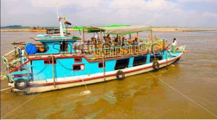
Up to now, the Ayeyarwady River is still used as the main trade transport route. It is considered the bridge which connects famous cities of Mandalay and Bagan with Yangon.
» People and their daily life on Irrawaddy River’s Banks
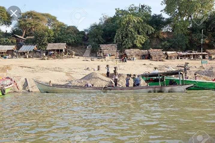
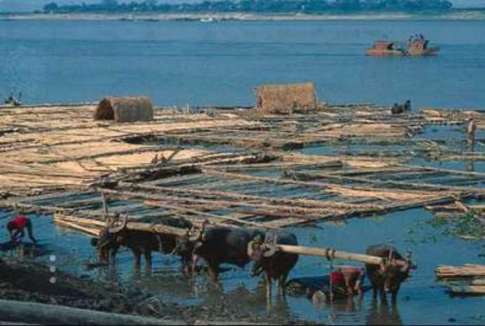
On the banks of the Irrawaddy River, there are different cultures exiting among the people. For example, the Kachin dominate on the upper reaches while in the middle and lower basin, the majority are the Burmese. In the delta to the south, in addition to the Burmese, there is also a significant number of Karen and some Indians. Along the river’s drainage basin scatters a small number of Chinese.
Kyawhtet
Hi! I am a robot. I just upvoted you! I found similar content that readers might be interested in:
https://www.britannica.com/place/Irrawaddy-River