
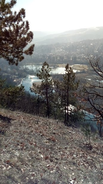
Pancharevo Lake is the largest water area in the immediate vicinity of the compact city core of Sofia. It is located 12 km southeast of the city center in the direction of Samokov and Borovets, at 600 m above sea level. It is located at the end of the picturesque Pancharevo gorge of the Iskar River, between the steep western slopes of the Lozen Mountains and the eastern slopes of Vitosha.
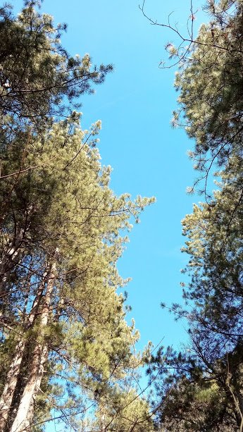
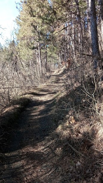
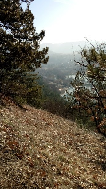
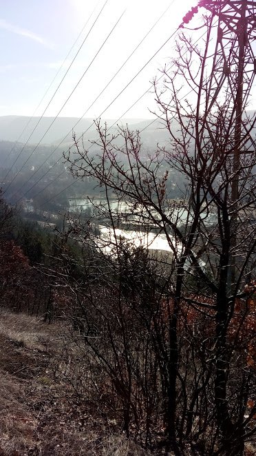
We went up the Panoramic Path at the back of the lake.
On the banks of the lake there are three recreational cores - a balneological complex around the mineral springs, a sports center on the territory of the National Rowing Base "Sredets", which is specialized for competitions in the rowing disciplines and a recreation area and attractions in "Koralite"(The Corals) beach.
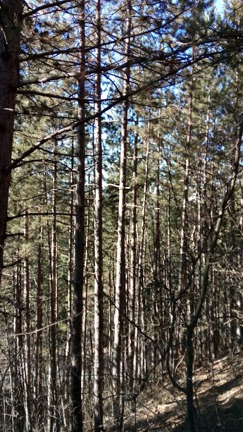
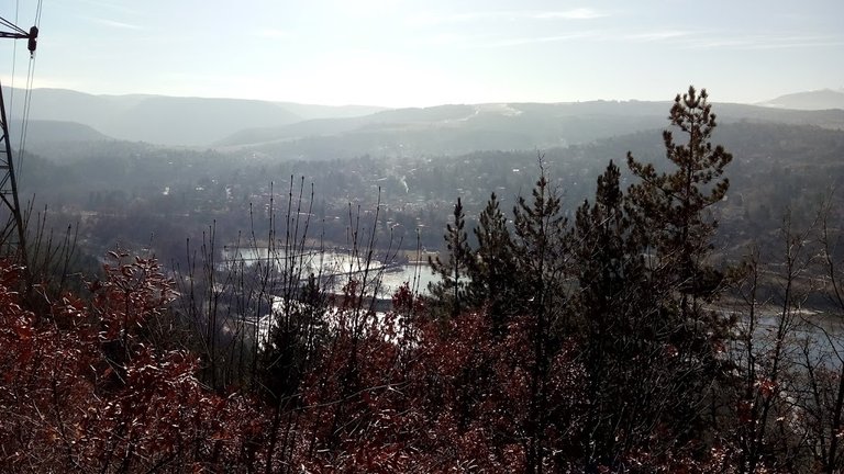
It was very sunny and warm day and the water of the lake and the river was shining like pure gold.
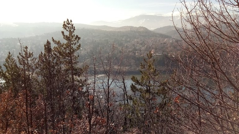
Close to the rowing base is the central pontoon pier for hiking boats. A scenic panoramic path from the beautiful shores of Vitosha Mountain, the Planina Mountains and Pancharevo and Kokalyane villages passes along the eastern shore of the lake.
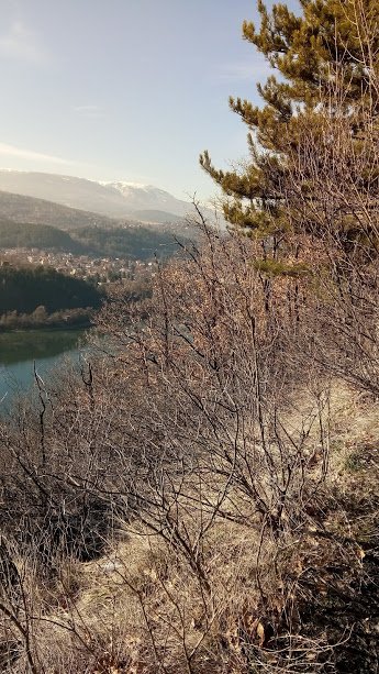
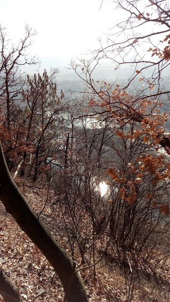
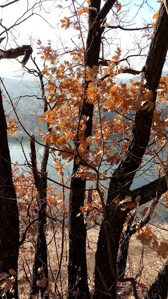
An alternative route to the trail is the old-fashioned racetrack that runs parallel to the shoreline and provides easy access to some sports facilities and venues, as well as the opportunity to take a ride around the water itself.
( )
)
Congratulations, Your Post Has Been Added To The Steemit Worldmap!
Author link: http://steemitworldmap.com?author=dacinka
Post link: http://steemitworldmap.com?post=a-walk-in-bulgaria-10-pancharevo-lake
Want to have your post on the map too?
WOW !!! BEAUTIFUL
Thanks!