Short Description
Once catastrophically buried by a glacial avalanche released by pyramid shaped mount Altels over a hundred years ago, Spittelmatte alp is a safe hiking and winter sport area nowadays offering blooming meadows in summer and heaps of white fun in winter.
In its intended direction, Spittelmatte trail follows Üschenengrat before turning around at the Altel hut and leading us back to the cable car first through Swiss pine forests, then following Schwarzbach creek, and finally uphill, offering views of the whole plateau below.
Notes
- Signage lacking in clarity. There is no sign indicating the intended direction at the start, then no signs indicating turns when going the “wrong way” (which would also be lacking when going the right way).
Impressions
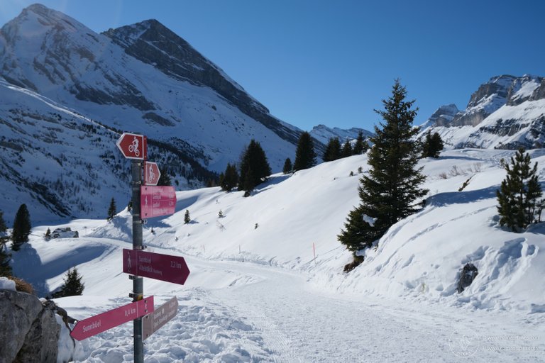
After a long drive and a short cable car ride, we started our second ever snowshoe hike on the wrong foot, or rather in the wrong direction. Lacking direction indicating signs at the beginning of the trail and an internet connection to check the Schweizmobil page again, we turned left instead of right at the first intersection.

Can’t really tell from the signs, but the trail’s recommended direction would have us turning right here. (We turned left).
It shouldn’t really make a difference, except what sparse signage there was, was set up with only the intended direction in mind, making things less clear when going the other way. The trail being interspersed with intermediately shared cross country and winter hiking pistes and lots of “unofficial” snowshoe trails didn’t make things any clearer.

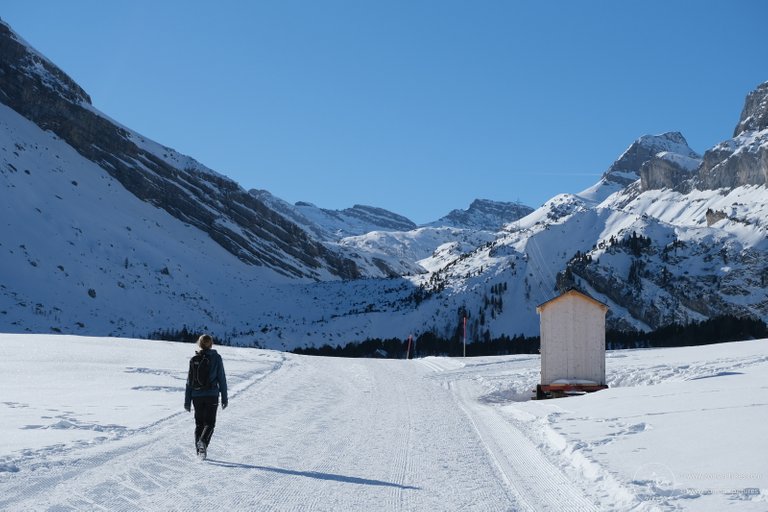
Perfect shot for a tourism page of the region – Unfortunately I don’t have a model release for this stranger that walked into the shot I was preparing and somehow ended up perfectly composed. Also, not part of the snowshoe trail as we should have turned left, which I realized right about here.
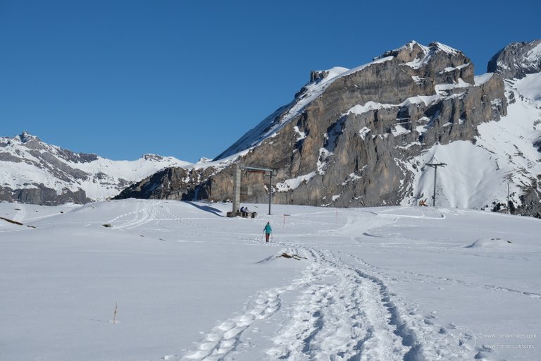
Anywhoo, apart from having to turn around after checking the map here and there, we got to enjoy beautiful views of mounts Tatelishorn, Altels, and the Üschenengrat among others, all in perfect weather.

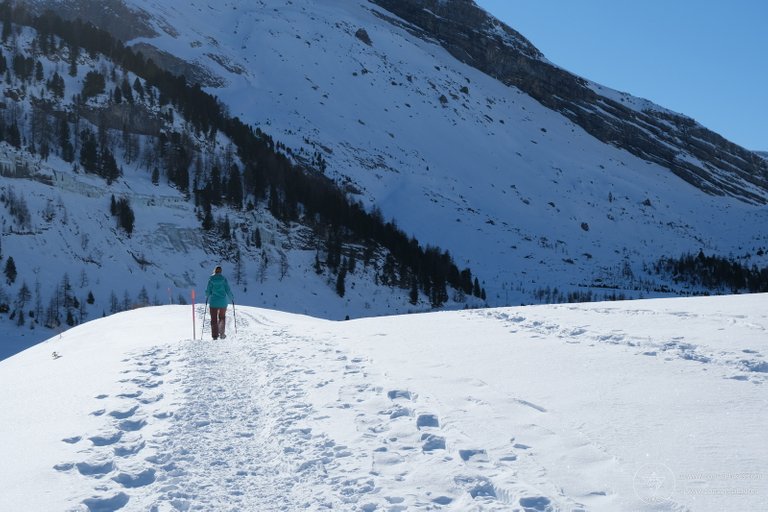
Since it’s been a while since the last snowfall, the center of the trail was quite compacted, making progress quick and easy unless voluntarily traversing the deep snow to elicit more of a snowshoe experience.

For us, it was a lovely day in nature on a questionably signed trail in a beautiful, if not fantastically interesting area.
Some more impressions:
%20-%2000005%20-%201600W-WM.jpg)
%20-%2000012%20-%201600W-WM.jpg)
%20-%2000017%20-%201600W-WM.jpg)
%20-%2000028%20-%201600W-WM.jpg)
%20-%2000035%20-%201600W-WM.jpg)
%20-%2000048%20-%201600W-WM.jpg)
%20-%2000051%20-%201600W-WM.jpg)
%20-%2000058%20-%201600W-WM.jpg)
You got some pretty nice shots. Looks like it was a fun trip... even if the signs weren't as helpful as they could have been!