Greetings friends of Hive and @fulldeportes, today I am going to share with you my mountain hiking training on the El Toquito I and II hill route, in the community of Villa de Cura, Aragua state, Venezuela.
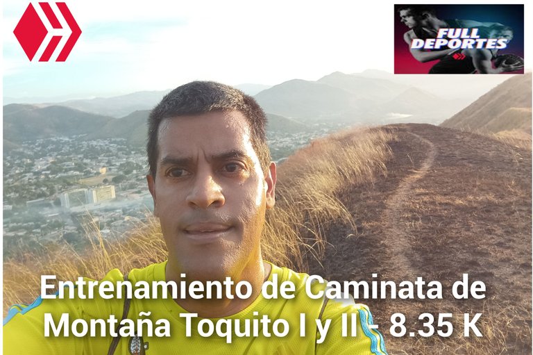
En este entrenamiento había planificado subir con mi amigo, yo me levanté bien temprano y luego realicé mi calentamiento para estar preparado, mi amigo me manifestó que no subiría la montaña porque sentía una molestia en la pierna, pero estará dando vueltas en la pista de atletismo. Salimos a un ritmo suave a las 5:56 am, activando la aplicación Strava, para registrar este entrenamiento, subimos por toda la doctor Morales, para luego llegar al desvío que nos lleva a la comunidad del Toquito.
In this training I had planned to go up with my friend, I got up very early and then I warmed up to be ready, my friend told me that he would not go up the mountain because he felt some pain in his leg, but he will be doing laps on the athletics track. We left at a slow pace at 5:56 am, activating the Strava application, to record this training, we went up the entire Doctor Morales, to then reach the detour that takes us to the community of Toquito.
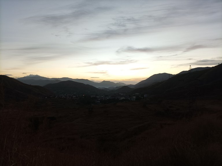
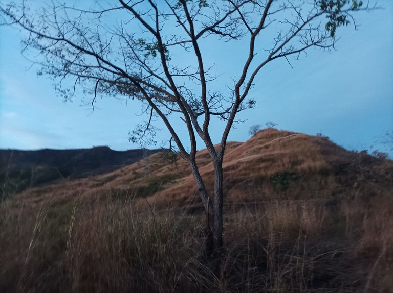
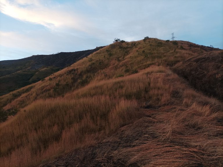
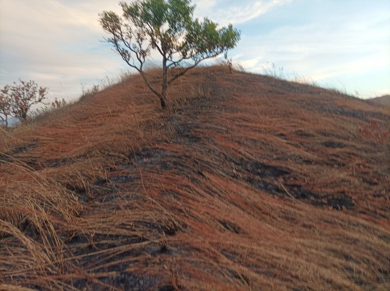
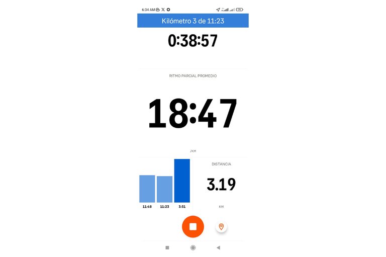
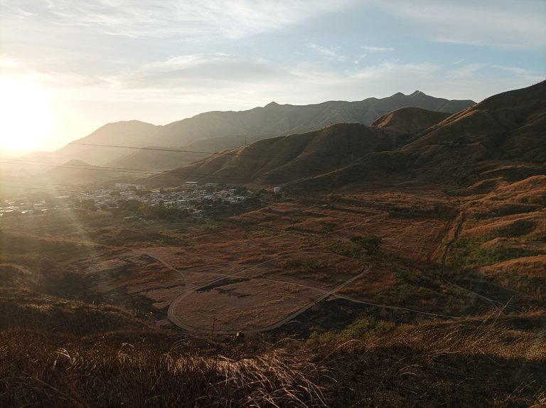
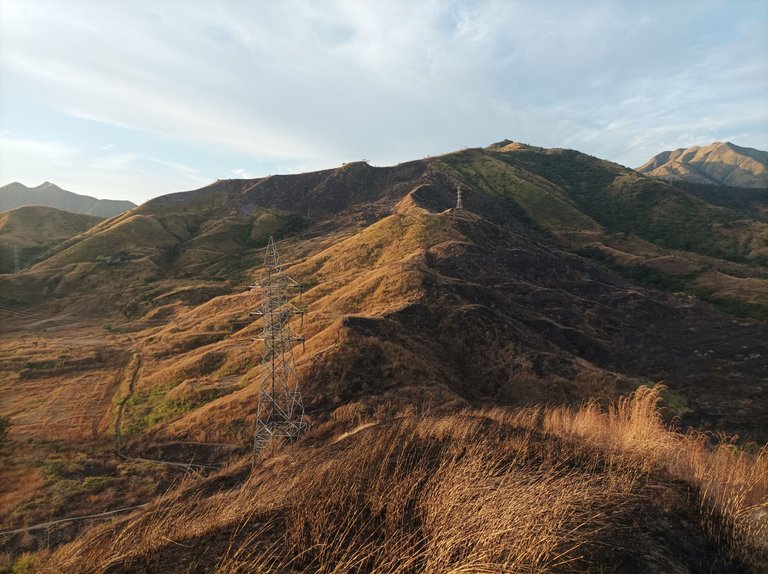
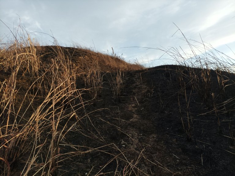
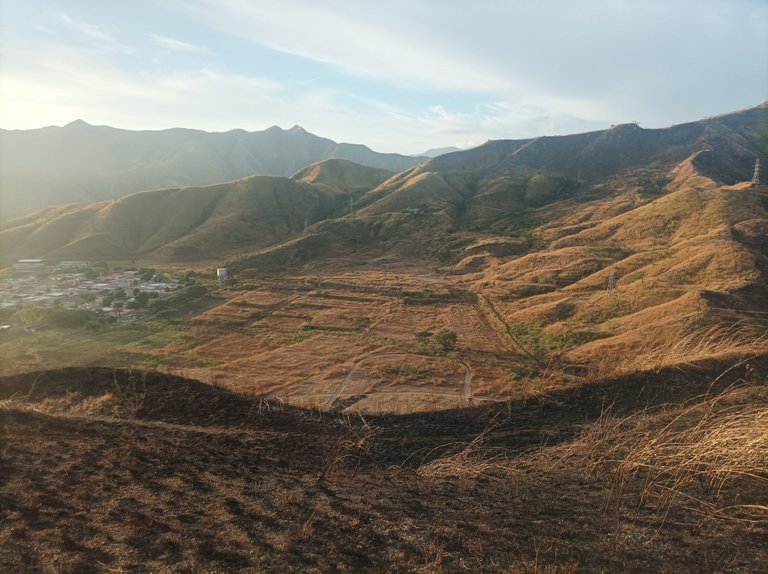
Al llegar al Toquito, llevaba un tiempo de 24 minutos, después mi amigo se quedó rezagado y yo continúe caminando, pasando por toda la pista y comencé a subir por la montaña del Toquito II, que está detrás de la pista, me costó encontrar el camino porque los arbustos estaban un poco alto, más adelante la montaña estaba quemada por los incendios, y esto me iba ayudar para que el camino estuviera despejado, sin embargo a medida que avanzaba había árbitros caídos que ocultaban el camino, pasando los 3K en 38 minutos con 57 segundos, más adelante me detuve para regresarme por el mismo camino, el cual me costó encontrar.
When I got to Toquito, I had been running for 24 minutes, then my friend fell behind and I continued walking, passing through the entire track and began to climb the Toquito II mountain, which is behind the track, it was difficult for me to find the path because the bushes were a bit high, further up the mountain was burned by the fires, and this was going to help me keep the path clear, however as I progressed there were fallen referees hiding the path, passing the 3K in 38 minutes and 57 seconds, further up I stopped to go back along the same path, which I had trouble finding.
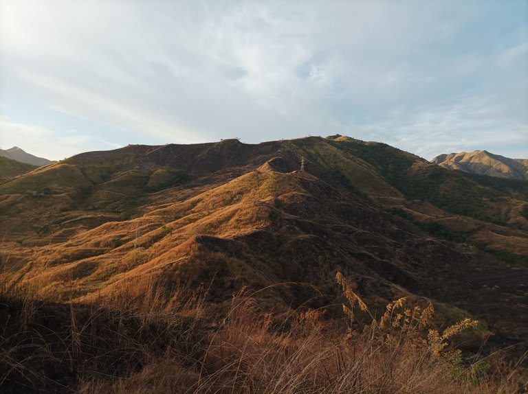
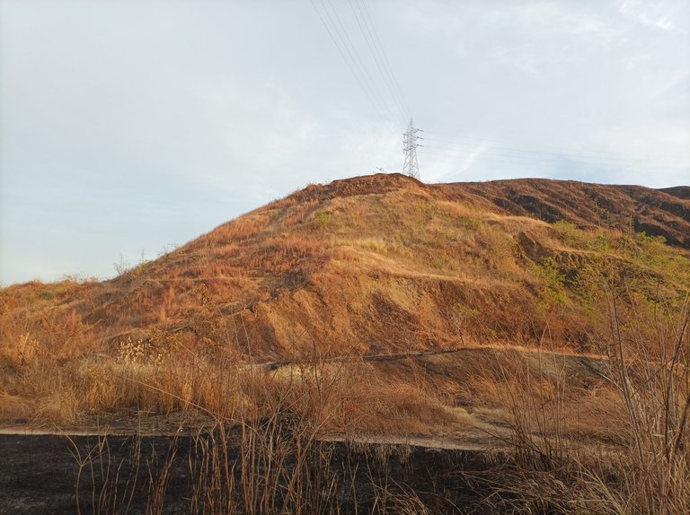
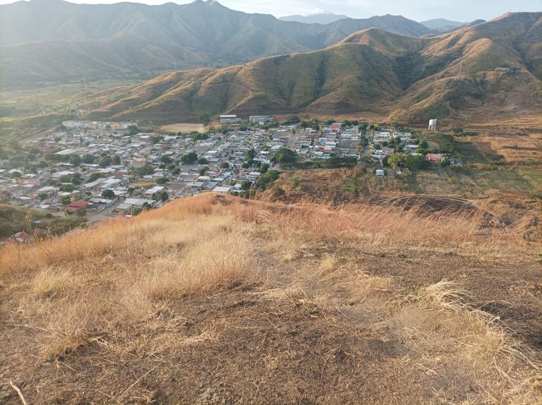
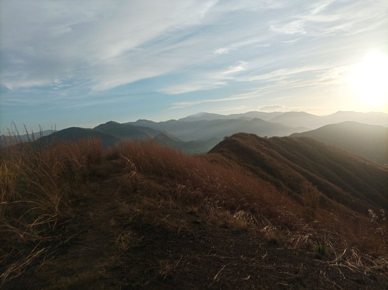
De regreso comenzar a bajar para después pasar cerca de la pista y subir el otro cerro del Toquito I, por esta parte estaba más despejado y al llegar a la cima pude ver a mi amigo que estaba todavía dando vueltas en la pista, para después bajar, no tuve ningún problema al descender porque por el camino un caminante hizo una escalinatas para evitar una caída, y en la parte baja me espero mi amigo, y continuamos el recorrido nuevamente hacia El Toquito.
On the way back, I started to go down and then passed near the track and climbed the other hill, Toquito I. On this side it was clearer and when I got to the top I could see my friend who was still going around in circles on the track, and then I went down. I had no problem going down because along the way a hiker made a set of steps to avoid a fall, and at the bottom my friend waited for me, and we continued the route again towards El Toquito.
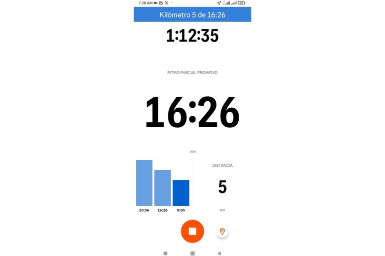
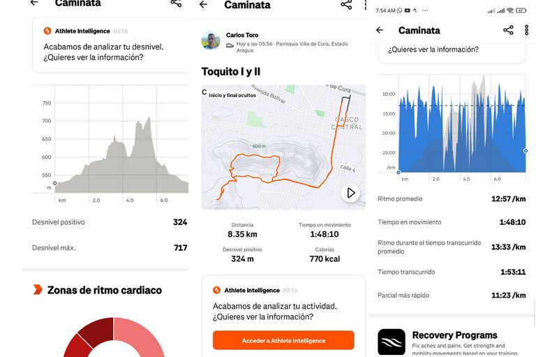
Así mismo, terminamos de bajar por la calle doctor Morales, y luego pasar por el centro de la comunidad de Villa de Cura y llegar al punto de salida con un tiempo de 1 hora 53 minutos, una distancia de 8.35K, desnivel positivo de 324 m y desnivel máximo 717 m registrado en la aplicación Strava.
We then finished going down Doctor Morales Street, then passed through the center of the Villa de Cura community and reached the starting point with a time of 1 hour 53 minutes, a distance of 8.35K, a positive elevation gain of 324 m and a maximum elevation gain of 717 m recorded in the Strava application.
Espero que les haya gustado mi entrenamiento de caminata de montaña, nos vemos en el próximo.
I hope you liked my mountain walking training, see you in the next one.
Fotografías: Teléfono Redmi Note 10
Portada realizada en APP GridArt
Logos utilizados de Hive y de fulldeportes
Traductor utilizado: Traductor de Google
Photos: Redmi Note 10 Phone
Cover made in The APP GridArte
Used logos of Hive and fulldeportes
Translator used: Translator used: Google Translate

Vote la-colmena for witness By @ylich

Posted Using InLeo Alpha
Love your experience, beautiful photographs and thank you for carrying us along on your time with nature.
Hello, thank you, Merry Christmas
Wishing you the same buddy 🌹
Hello, thank you very much
You are welcome 🤗
Congratulations @cetb2008! You have completed the following achievement on the Hive blockchain And have been rewarded with New badge(s)
You can view your badges on your board and compare yourself to others in the Ranking
If you no longer want to receive notifications, reply to this comment with the word
STOPCheck out our last posts:
Agradecido por la insignia, feliz navidad
Feliz Navidad para ti y tu familia @cetb2008 🎅