Greetings friends of Hive and @fulldeportes, today I'm going to share with you my Mountain Hiking training that I did on the route of the peasant settlement Malpica El Toro, in the community of Villa de Cura, Zamora municipality, Aragua state.
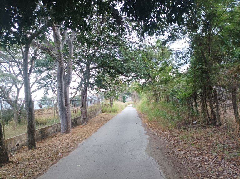
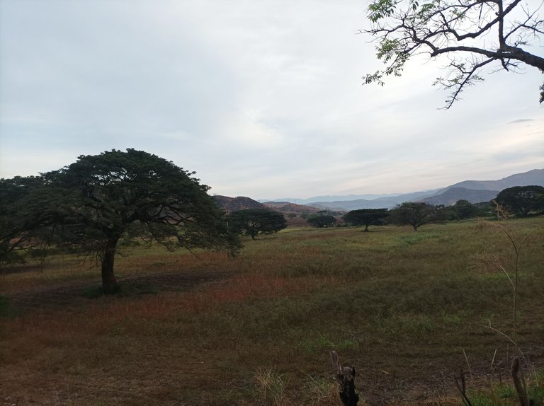
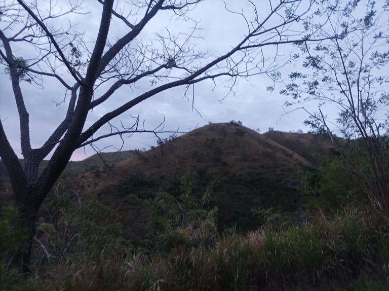
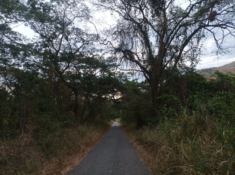
Cabe destacar que para este entrenamiento, me pare bien temprano, hice mis ejercicios de calentamiento que son importantes antes de iniciar y salí a la 5:40 de la mañana, junto con un amigo, activando la aplicación Strava y Actifit, con un clima agradable, sintiendo algo de frío y estaba un poco oscuro. Subimos por toda la avenida doctor Morales del centro de Villa de Cura, para desviarnos al sector de la Represa y comenzar a subir por Santa Eduviges, y después llegamos al Samán.
It should be noted that for this training, I stopped very early, I did my warm-up exercises that are important before starting and I left at 5:40 in the morning, along with a friend, activating the Strava and Actifit application, with a pleasant weather, feeling a little cold and it was a little dark. We went all the way up Doctor Morales Avenue in the center of Villa de Cura, to turn off to the sector of the Dam and start climbing through Santa Eduviges, and then we reached the Samán.
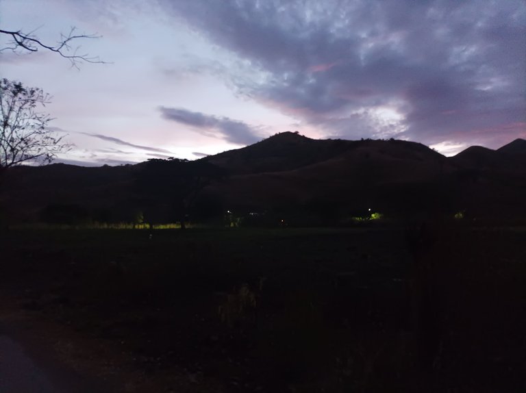
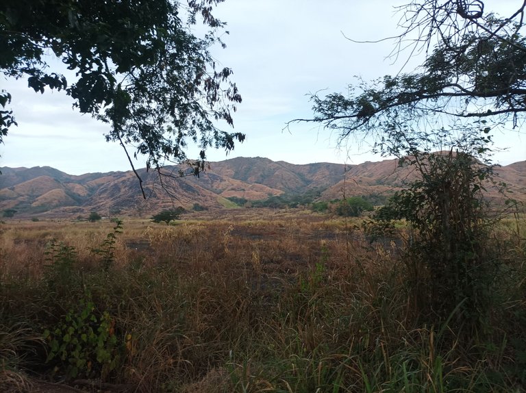
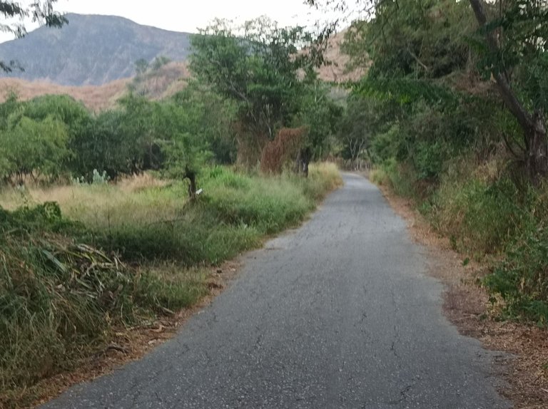
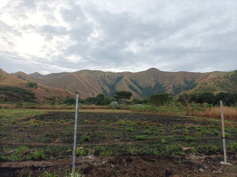
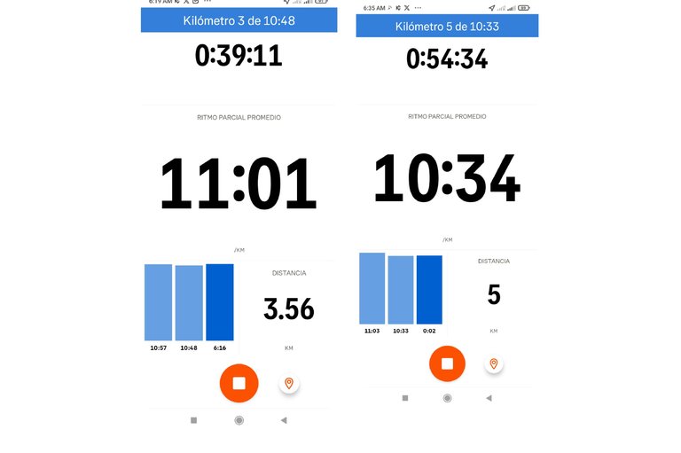
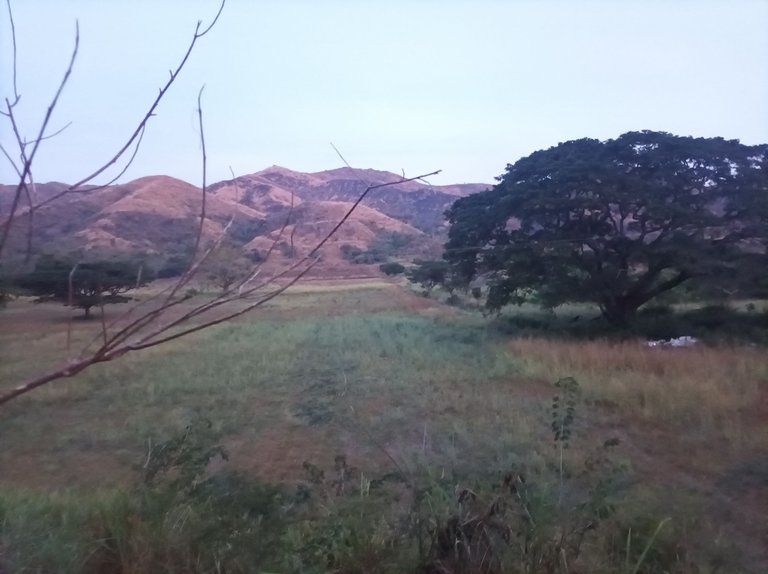
Después de pasar el Samán, tuve que encender la linterna de mi teléfono móvil, porque había poca visibilidad, se empezó a aclarar luego de completar los 3.5K en 39 minutos, frente a lo que era la empresa Cefloarca y ahora lleva por nombre asentamiento campesino Sierra Del Sur. Pude observar que también la quema estuvo presente en algunas parcelas, y las siembras de maíz ya cosecharon. Mantuvimos un ritmo suave, pasando los 5K en un tiempo de 54 minutos con 34 segundos.
After passing the Samán, I had to turn on the flashlight on my cell phone, because visibility was poor. It began to clear up after completing the 3.5K in 39 minutes, in front of what used to be the Cefloarca company and is now called the Sierra Del Sur peasant settlement. I could see that there was also burning in some plots, and the corn crops fell. We kept a slow pace, passing the 5K in a time of 54 minutes and 34 seconds.
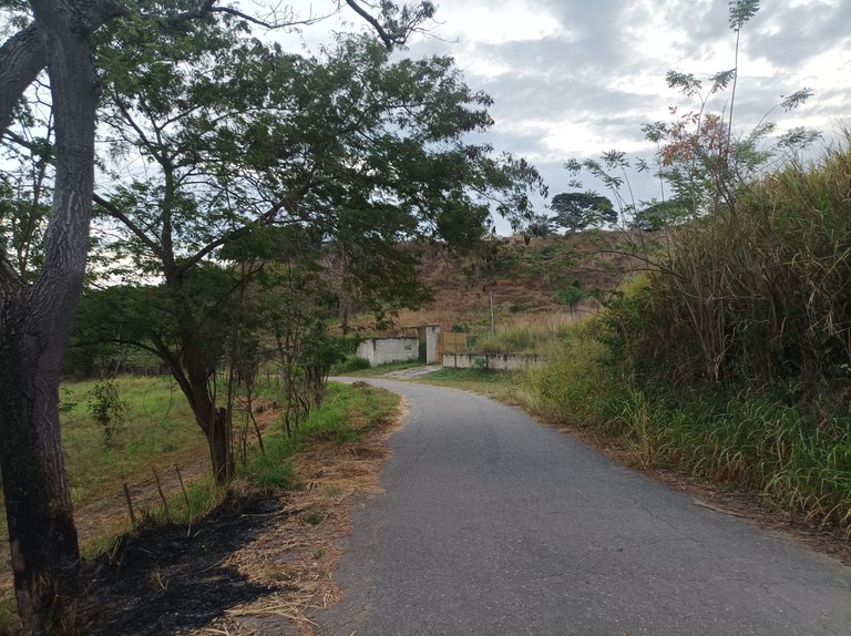
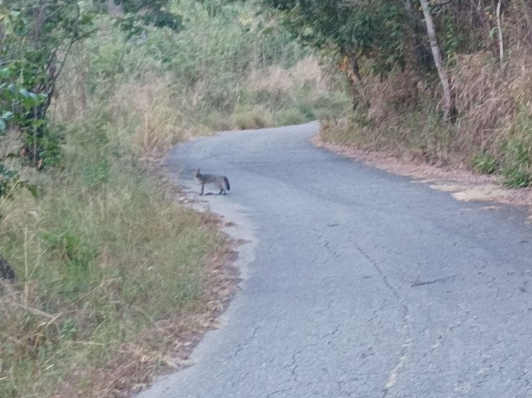
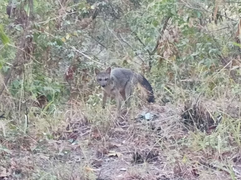
Asimismo, mi compañero se quedó rezagado, a partir de aquí, aumenté el paso para aprovechar que venían las subidas, al pasar por una curva, observé que un animal atravesó la carretera y resulta que era un zorro, yo me detuve unos segundos para tomarles una fotografía e incluso pude hacerle un video, esta es la primera vez que veo un zorro por este asentamiento. Después continúe subiendo para llegar al segundo puente con una distancia de 6.83 K, en un tiempo de 1 hora 13 minutos.
My companion also fell behind, from here on I increased my pace to take advantage of the hills. As I went around a bend, I noticed an animal crossing the road and it turned out to be a fox. I stopped for a few seconds to take a photo and even made a video of it. This is the first time I have seen a fox in this settlement. Then it continued uphill to reach the second bridge with a distance of 6.83 K, in a time of 1 hour 13 minutes.
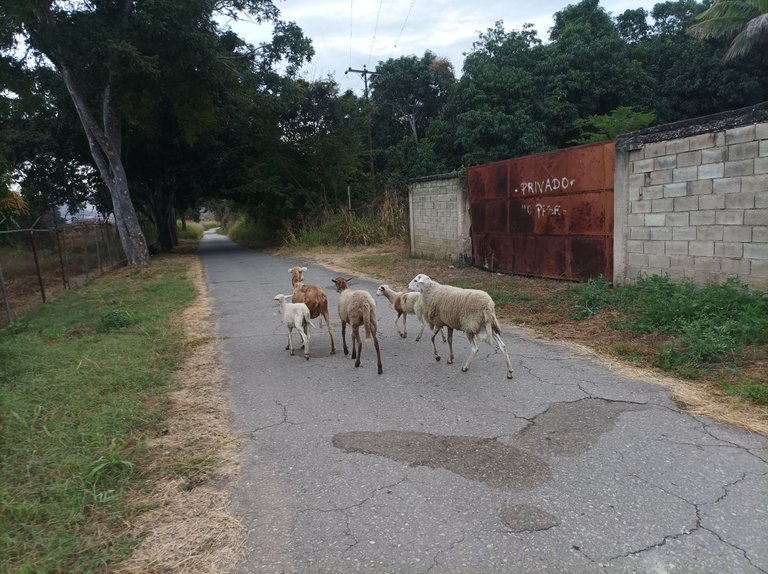
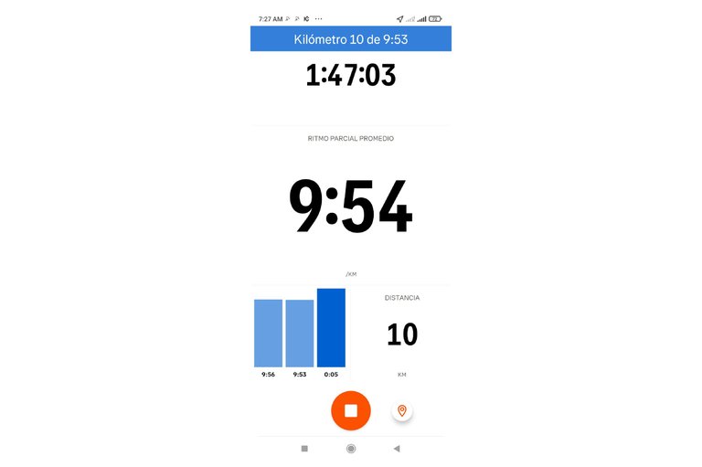
De esta forma me detuve unos segundos para hidratarme y comenzar a bajar para encontrarme con mi amigo, el cual se vino conmigo de una vez, nos topamos con una pequeña ardilla y algunos ovejos que estaban en el medio de la carretera, a medida avanzaba mi compañero se fue quedando nuevamente, yo pensé que iba a mantener el mismo paso, pero yo decidí continuar y lo esperaría frente al Samán. Pasé los 10K en un tiempo de 1 hora 47 minutos, seguí avanzando para luego llegar al Samán, pero me di cuenta que mi compañero venía demasiado lejos y entonces continúe caminando.
In this way I stopped for a few seconds to hydrate and start to go down to meet my friend, who came with me right away, we came across a small squirrel and some sheep that were in the middle of the road, as I advanced my companion was left behind again, I thought he was going to keep the same pace, but I decided to continue and I would wait for him in front of the Samán. I passed the 10K in a time of 1 hour 47 minutes, I continued advancing to then reach the Samán, but I realized that my companion was too far away and so he continued walking.
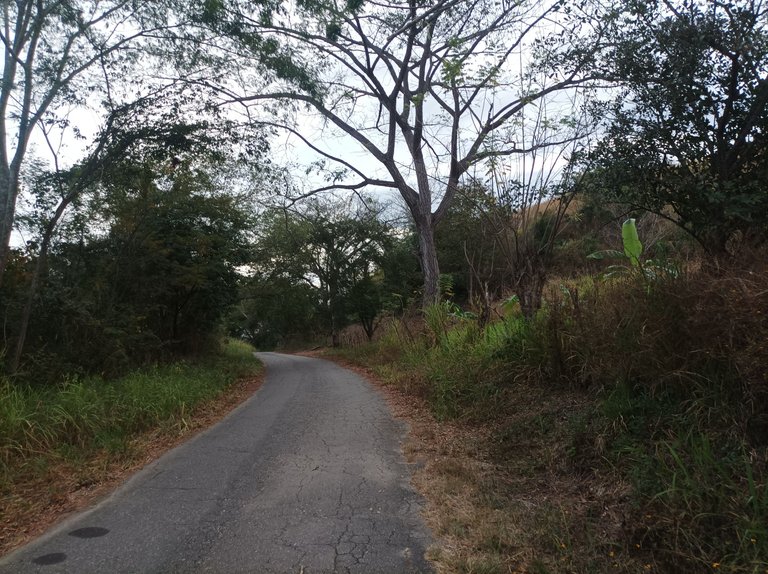
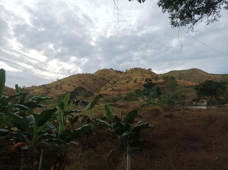
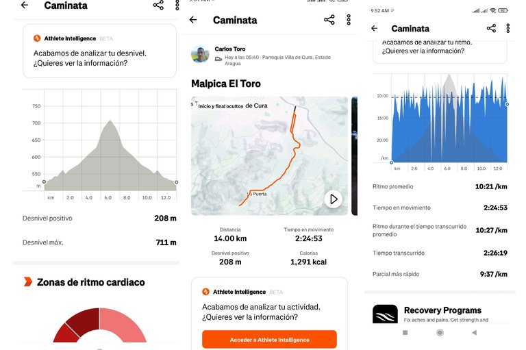
Seguidamente pase por el sector Santa Eduviges, y luego por La Represa, al pasar por el liceo Alberto Smith, llevaba una distancia de 12K y ya estaba cerca del centro de la comunidad de Villa de Cura, pase por todo el centro y luego por la plaza Miranda, para después llegar al mismo punto de partida con un tiempo final de 2 horas 26 minutos, con un desnivel positivo de 208 m y desnivel máximo de 711 m, registrado en la aplicación Strava y 16.245 pasos en Actifit.
Then I went through the Santa Eduviges sector, and then through La Represa, passing by the Alberto Smith high school, I had covered a distance of 12K and was already close to the center of the Villa de Cura community, I went through the entire center and then through the Miranda square, to then arrive at the same starting point with a final time of 2 hours 26 minutes, with a positive elevation gain of 208 m and a maximum elevation gain of 711 m, recorded in the Strava application and 16,245 steps in Actifit.

Echa un vistazo a mi actividad en Strava: https://strava.app.link/2F3qml0GUPb
Espero que les haya gustado este entrenamiento de caminata de montaña, nos vemos en una próxima publicación.
I hope you liked it, see you in a next post.
Fotografías: Teléfono Redmi Note 10
Portada realizada en APP GridArt
Logos utilizados de Hive y de @fulldeportes
Traductor utilizado: Traductor de Google
Photos: Redmi Note 10 Phone
Cover made in The APP GridArte
Used logos of Hive and @fulldeportes
Translator used: Translator used: Google Translate

Vote la-colmena for witness By @ylich

Posted Using InLeo Alpha
Hola amigo!! Me encantan tus posts y tu persistencia a lo largo del tiempo. Qué belleza! Toda una inspiración realmente!!
Hola amiga, feliz año, gracias, feliz día.
Feliz o nuevo amigo! Espero logres explorar muchos y nuevos senderos en tu zona. Igualmente estaré por acá mostrando otras rutas. Saludos.
Hola amiga, gracias por tu comentario.
Una buena caminata de 14 kilómetros en un paisaje así, vale la pena hacerla, me imagino el frío de la mañana, el ambiente a esa hora es espectacular para caminar y agarrar aire puro, bellas fotos 🤩
Hola amiga, muchas gracias por tu comentario, feliz día.