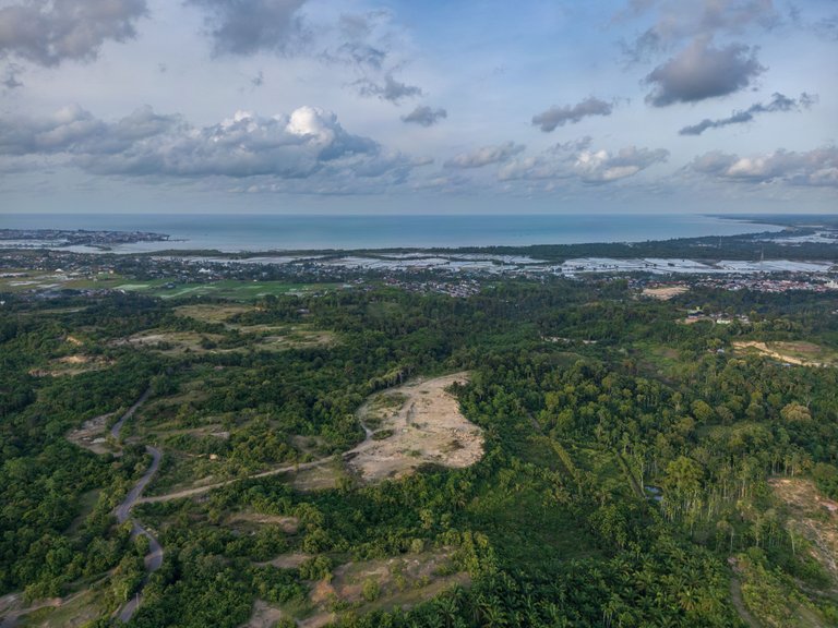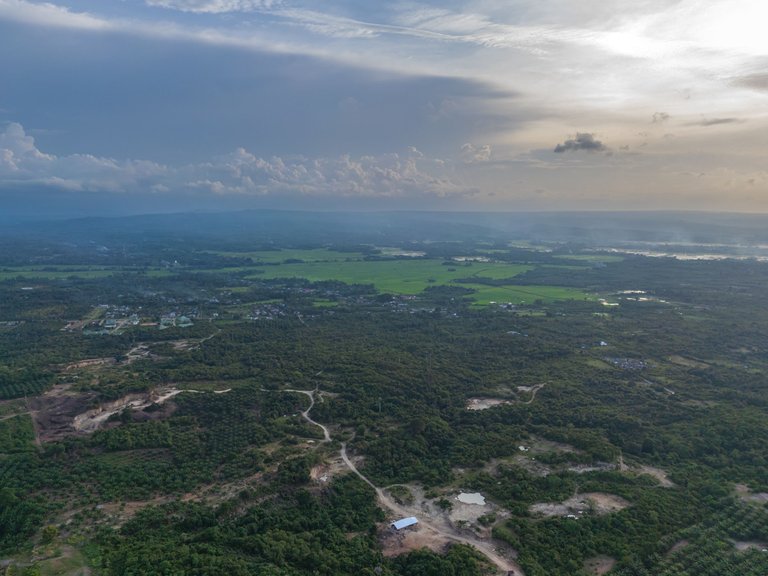
An aerial view from drone photography facing east showcases the land of the town of Lhokseumawe, Aceh on the left side of a calm bay. This bay was known to navigators coming through the Bay of Bengal in the 19th century and earlier and was famous among sailors as Teluk Samawi or Telok Semawe.
The previous three posts were dedicated to the bay:
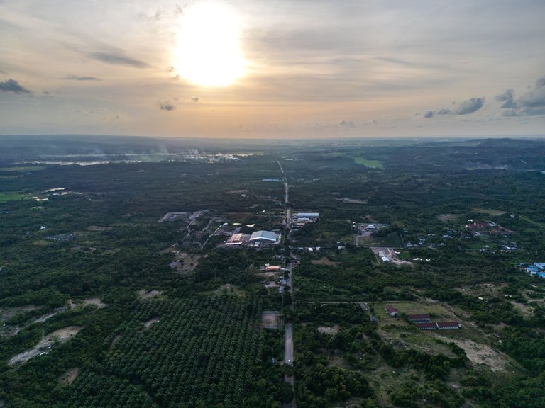
Look at the following image: an inland view of Lhokseumawe facing west at sunset, with the sun low on the horizon and a straight road stretching through the center of the pic.

I am back after a long absence without any posts. The image in this post marks my return wtha picture from the trial of my new drone the DJI MINI 3 PRO.

I also tried the 360-degree panorama feature during my test this afternoon, Tuesday, September 11, 2024. Do you want to see it? Here’s the LINK.
Thank You
Irfan M Nur (@vannour)
extraordinary, very beautiful.
Thank you
You're welcome.
Nice shots, good to have you back. Hope to see you powerup and get involved again.
Love the 360 pano, wish more platforms would support it directly without having to link outside to skypixel.
Thank you so much! It’s great to be back and sharing my work again. I totally agree, it would be fantastic if more platforms supported 360 pano directly.
Congratulations @vannour! You received a personal badge!
You can view your badges on your board and compare yourself to others in the Ranking