A hiking trail runs along the edge of the Stevns Klint cliffs in Denmark from Rødvig in the south to Bøgeskov Havn in the north. The path winds for over 22 kilometers along the shore of the Baltic Sea at a height of 41 meters above sea level. Along the way, there are spectacular panoramic views of the shimmering turquoise Baltic Sea and the cliffs. You also gain insight into a story that shows that a devastating meteorite impact almost wiped out all life on Earth many, many years ago.
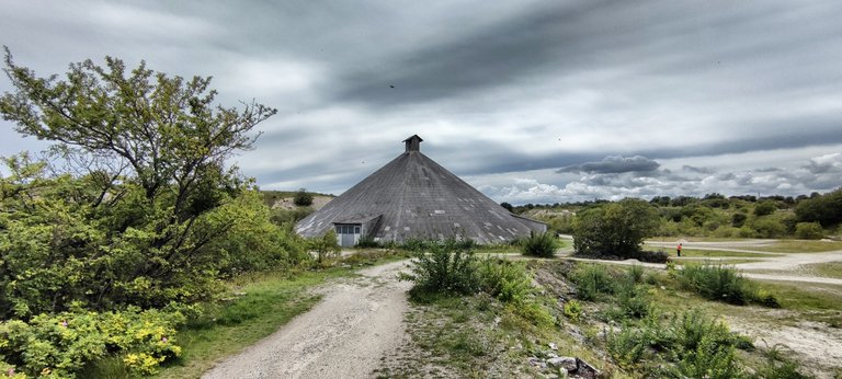
But let's start at the beginning. Rødvig is a small, relaxed fishing village with a beautiful marina and the gateway to Stevns Klint, those famous cliffs that shine white-out over the sea. From the harbor, go a little way up Østersøvej, then turn right onto Brinkvej, which leads to Klintevej. A little later, the first sign for Stevn Klint Trampesti, the hiking trail to the UNESCO cultural heritage site, follows.
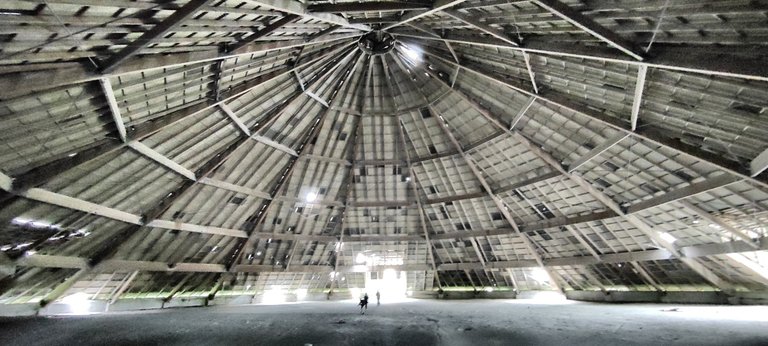 People are so small in the giant Pyramid
Hike along the Coast
Even at the start of the hike on the coast on the east side of the island of Zealand, there are beautiful views of Rødvig. Then it goes along the spectacular cliffs to the newly built Stevns Klint Experience visitor center, which uses fish clay, fossils, meteorites and dinosaurs to explain everything that happened in this historic area. In this cliff, the geologically very distinctive Cretaceous-Paleogene boundary is visible as a narrow dark band in the chalk deposits. In Denmark, this band is also called "fish clay" because of its fossil content.
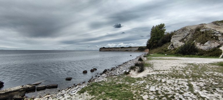 The coast is made of chalk
Sounds trivial, but it is of great importance. Stevns Klint is a geological thermometer from the past. The chalk cliffs are not only made of chalk and limestone, but there is also an ash-grey layer of paint between them. It is a layer of clay that is said to be 66 million years old, called fish clay, and is more visible here, in this part of Denmark, than anywhere else.
The 66 million years old riddle
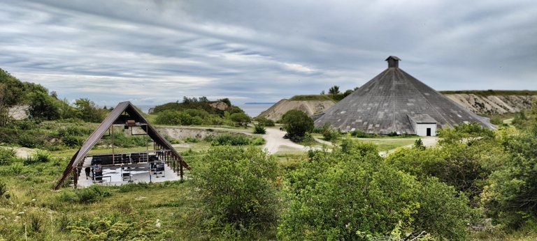 The Pyramid on the right side
Stevns Klint is a limestone cliff about 16 km long and a good 40 m high on the southeast coast of Zealand. The layering has created a slightly overhanging profile, so that the white rock formation rises quite suddenly from the sea - along its entire length. Mons Klint is huge, this is long and significant: when geologists examined the entrance to the cliff rock, they were able to unravel a secret that had until then been surrounding the extinction of the dinosaurs.
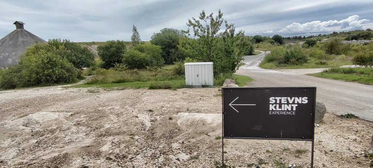 The way to the Information Center
The lower layer of the cliff — chalk dating back 66 million years - is separated from the overlying early Tertiary bryozoan limestone (Danian, 66-61 million years) by a thin but highly remarkable layer of dark clay. This clay had already been described as "fiskeleret (fish clay) because of the fish fossils it contained, but no one had recognized its true meaning.
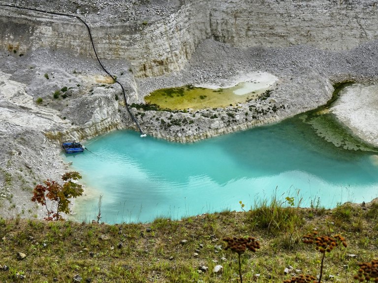 The quarry with the blue lake, still in charge
This changed in 1980 when American scientists were able to prove an inexplicably high concentration of iridium based on rock analyses in two places on Earth in Gubbio, Italy and at Stevns Klint). Iridium is a precious metal that is extremely rare on Earth, but occurs in high concentrations in space dust and in asteroids and meteorites.
"Fish Clay" with Iridium
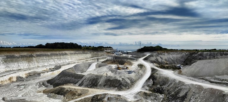 Grabbing chalk from the ground
The concentration in the fish clay of Stevns Klint was 160 times higher than anywhere else. The rock layers in question date from around 66 million years ago. So something big must have hit the Earth at that time, a unique cosmic event that researchers assume was a massive impact by an asteroid with a diameter of twelve kilometers.
 The pyramid is too huge to capture it in total
"The dust prevented several years for sunlight to reach the Earth's surface. This loss of light suppressed photosynthesis and as a consequence most food chains collapsed and a mass extinction followed," the scientists suspected. The sudden disappearance of the dinosaurs and countless other animal and plant species in this clearly definable period between the Upper Cretaceous and the Danian had finally found an explanation.
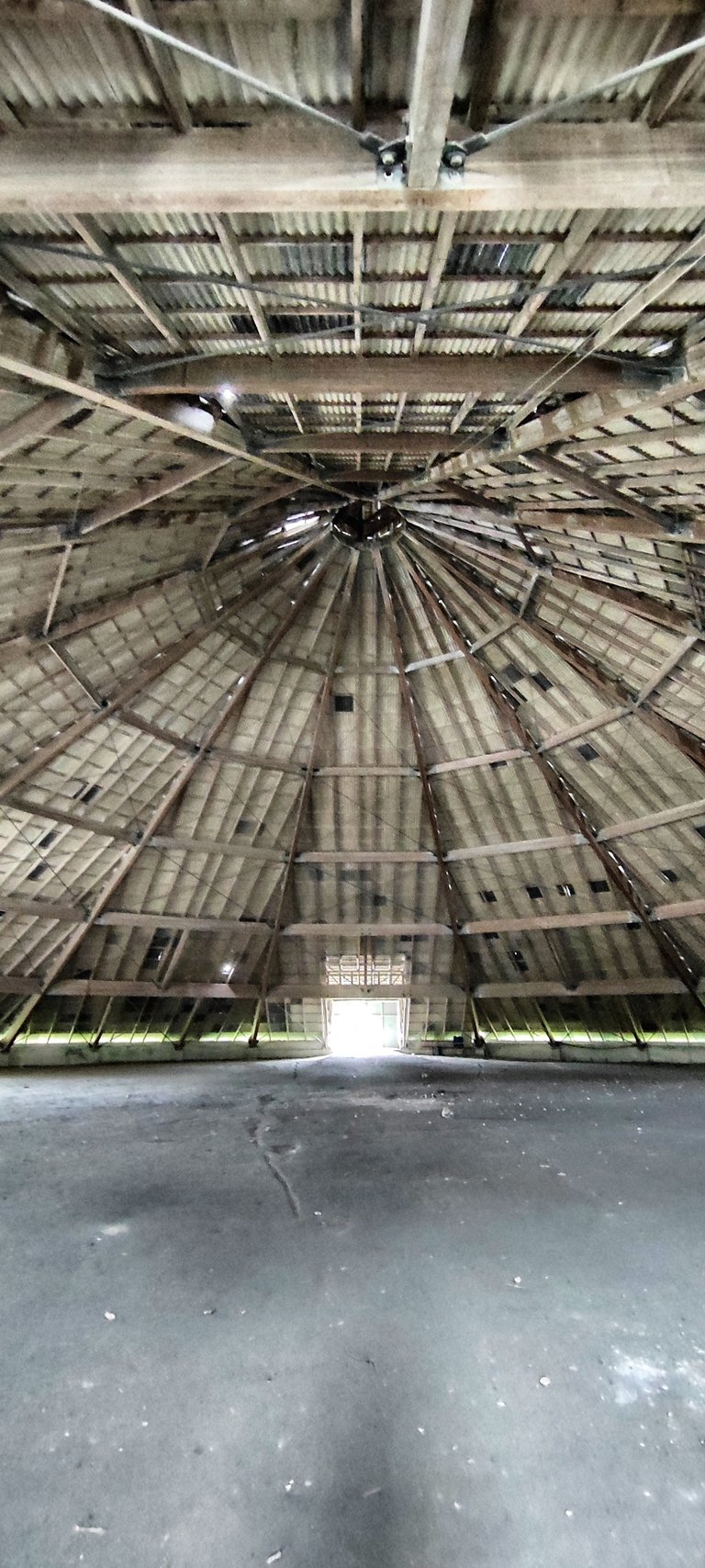 The chalk once is falling from the top of the roof
Enthusiastic about catastrophe
For people who are enthusiastic about such catastrophes, this is a great place. Others see the chalk and limestone with formations from the Upper Cretaceous and the Danian, the lowest stage of the Tertiary, not as an opportunity for scientists to find important fossils, but as an opportunity to obtain building materials.
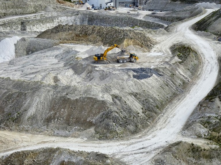 They are working hard at the hole
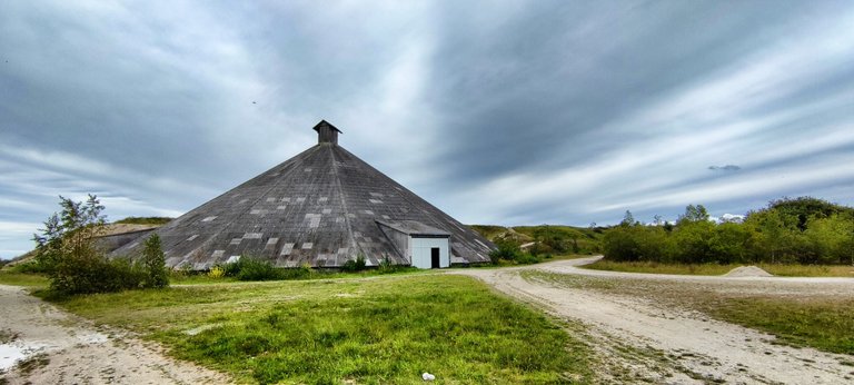
The chalk coast near Højerup has been mined, and right next door there are still kilns in which lime was burned. A huge wooden building has also been preserved, a lost place the size of a stadium. Lime used to be stored here, today amazed tourists stand in the lost place, which every visitor can simply enter.
And what a pyramid that is that rises up near the beach. It appears majestic and mysterious at the same time: when you enter it, it seems as if the world suddenly expands and you yourself become tiny.
 Another try to see it all
The Danish Pyramid
The Danish pyramid was built in 1968, its shape was intended to resemble a mountain of crushed limestone. The crushed limestone was transported from the depths of the nearby quarry to the top of the pyramid at a height of 24 meters via large conveyor belts.
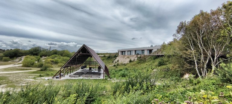 On the right-hand side you can see the modern information center
From there, the limestone fell into the large, empty building and formed a steadily growing mountain of limestone. The lime was dried over several weeks and months until it was finally spread over fields all over Denmark. There, its million-year journey ended - from the bottom of the sea to the farmers' fields.
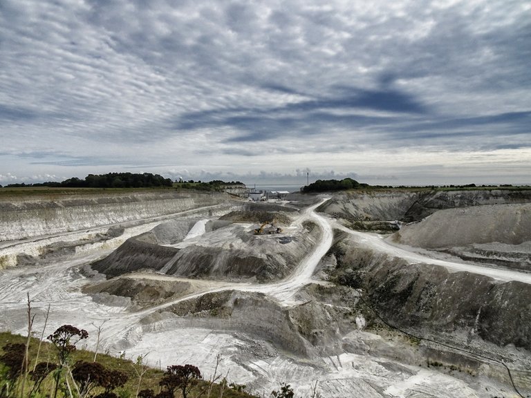 Deep wounds inside the landscape
In 1978, lime production was finally stopped because it was no longer profitable. To this day, the pyramid is a reminder of this bygone era. At the same time, it is a unique and inviting building that today offers the perfect setting for concerts, performances, events and bizarre inventions. However, limestone is still mined nearby: barely a kilometer away, gigantic machines are digging into the ground, creating terraces and small lakes with blue water.
The lime mined here is now used in the construction industry and for building houses.
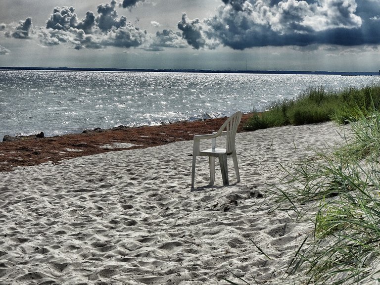 At the sandy shore of Baltic Sea waits a place to rest
Thank you for reading and if you like my work please follow me on Hive, Travelfeed or Steem or visit my homepage koenau.de
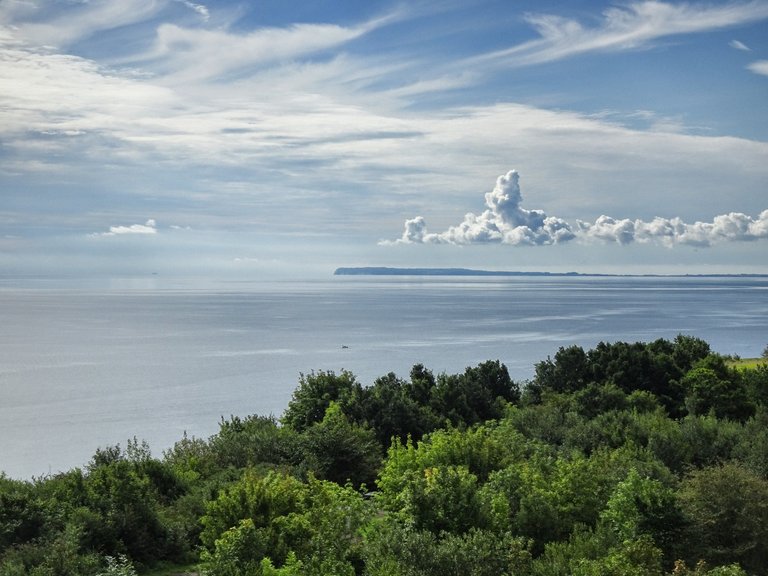 The view is so beautiful
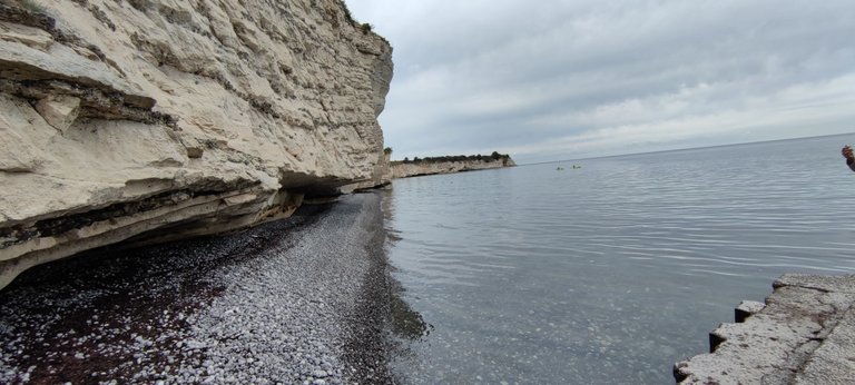 The cliff
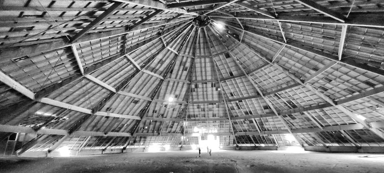 Black & White
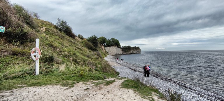 The beginning of Stevns Klint
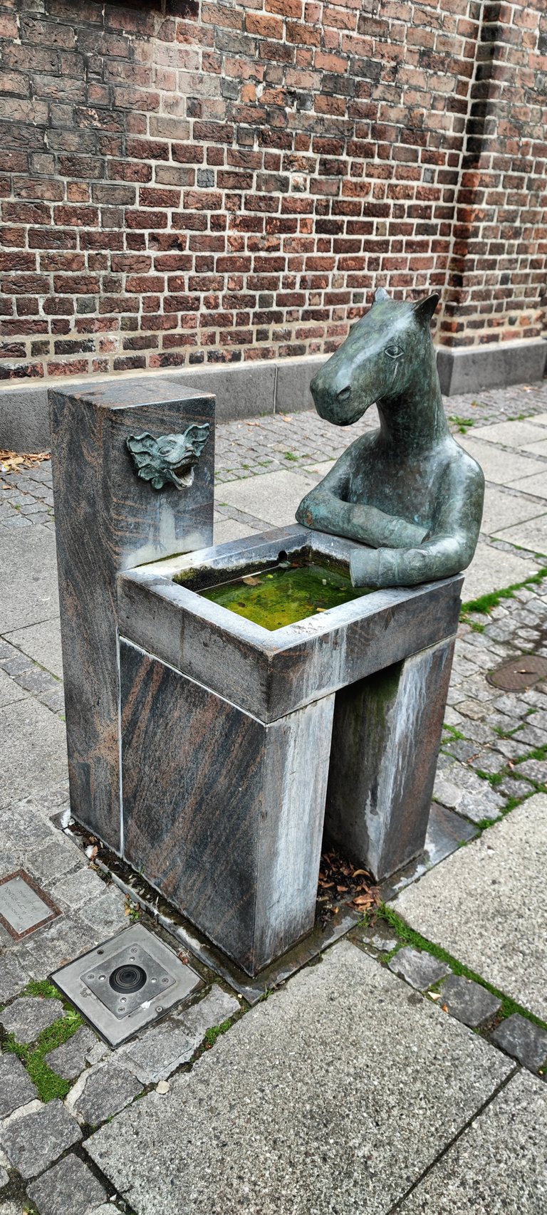 Art. I don't know what it means
Hiya, @lizanomadsoul here, just swinging by to let you know that this post made it into our Top 3 in Travel Digest #2289.
Your post has been manually curated by the @worldmappin team. If you like what we're doing, please drop by to check out all the rest of today's great posts and consider supporting other authors like yourself and us so we can keep the project going!
Become part of our travel community:
Congratulations, your post has been added to the TravelFeed Map! 🎉🥳🌴
Did you know you have your own profile map?
And every post has their own map too!
Want to have your post on the map too?
- Go to TravelFeed Map
- Click the create pin button
- Drag the marker to where your post should be. Zoom in if needed or use the search bar (top right).
- Copy and paste the generated code in your post (any Hive frontend)
- Or login with Hive Keychain or Hivesigner and click "create post" to post to Hive directly from TravelFeed
- Congrats, your post is now on the map!
PS: You can import your previous Pinmapple posts to the TravelFeed map.Opt Out
Congratulations, your post has been added to WorldMapPin! 🎉
Did you know you have your own profile map?
And every post has their own map too!
Want to have your post on the map too?
@tipu curate
Upvoted 👌 (Mana: 30/60) Liquid rewards.
Did you go swimming in the blue lake?
That's impossible because it is an industrial area.
It might be toxic lake?
No, I don't think so. It's the pure chalk that's make the water that kind of blue. It isn't real blue, it's just because of the light
OK, cool. Maybe it's even medicinal?! 😅
No, I don't think so. It's the same phenomena as
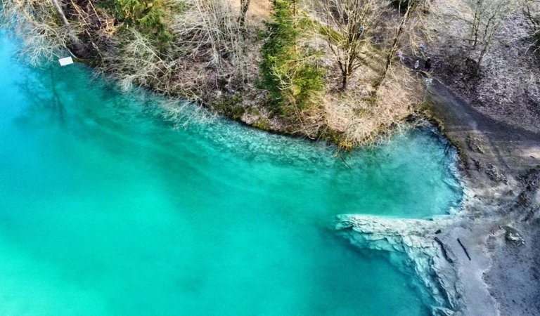
here: The Blue Lake of Germany
WoooW! It's so beautiful! I've seen these beautiful blues and greens only in seas. I didn't know lakes of such colors. Thanks for showing us.
Congratulations @koenau! You received a sweet smile from TravelFeed. We love your work so keep up the good job. 😊
Thanks for using TravelFeed!
@for91days (TravelFeed team)
PS: Have you joined our Discord yet? This is where over 1000 members of the TravelFeed come together to chat. Join us!
Wow, I was amazed by each of your photos! 😲
What s fascination ! It’s really amazing to think of how the ancient events that left their marks here. I wish I could visit there one day.
Definitely adding to my travel life!!!