Hello friends. Recently we decided to go hiking in the Malá Fatra mountains. This is a mountain range located in the northwest of Slovakia. First we went to the village of Štefanová, which is near the larger village of Terchová. All hiking routes start from this village. We set off on our first route towards Veľký Rozsutec the most scenic and popular spot in the area.
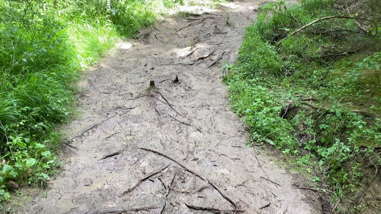
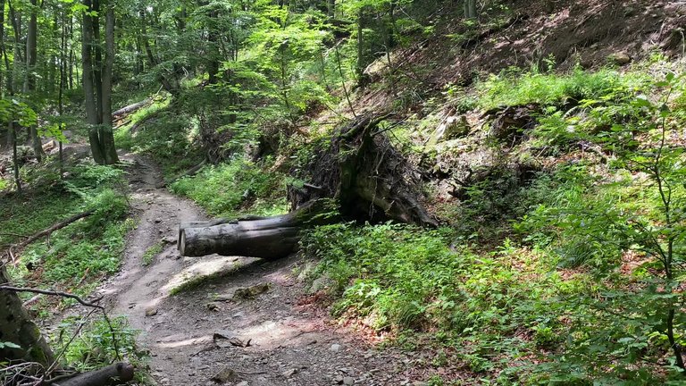
It had rained and we had to walk on a somewhat swampy mixture. Considering that there was an 89% chance of rain that day, it wasn't the worst-case scenario. So, we still felt lucky. We gradually began to gain elevation. After walking the first 950 meters pleasant views started to open up.
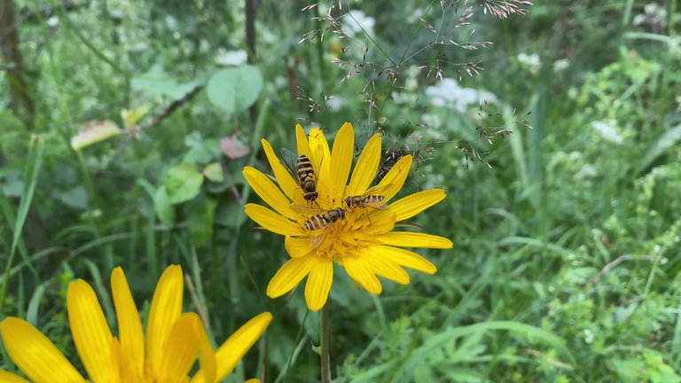
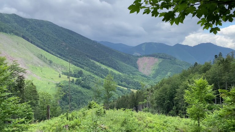
We climbed a bit higher, the air cooled and we put on our cardigans. We encountered many runners on this path and I think it was a running trail. However everyone was running downhill. It seemed no one was running uphill.
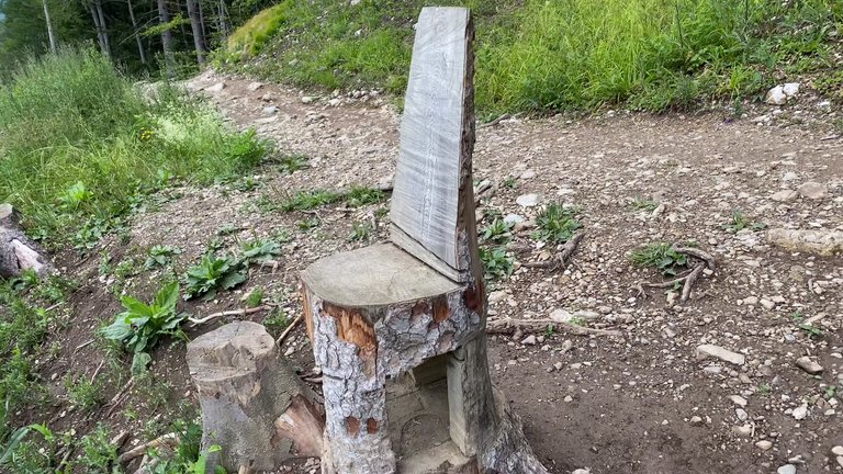
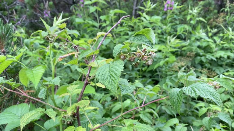
There were many wild mountain raspberries along the path. They were not yet ripe, but if you time it right, you could eat raspberries. However one must hope that a bear is not following the raspberries. In fact since there have been bear attacks in Slovakia we even brought bear spray with us.
We switched from the green route to the red one and began our ascent towards the summit. It was a small area here and the wind was very strong. It took us three and a half hours to reach Veľký Rozsutec. The total distance was five kilometers, with a total elevation gain of 972 meters. The climb is not easy with difficult rocky sections. But the real surprise awaited us at the summit. The path got steeper and after a while we had to climb. The weather seemed to be catching up with us as clouds started to roll in, even though there had been none before.
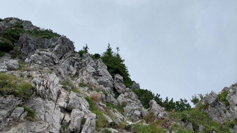
We reached the summit the highest point. However our three-hour hike seemed to be for nothing because everywhere was covered in clouds. It might have even been raining below. One of the most amazing things I saw here was that we could see which mountains were in which direction and their heights. But if we had a perfect view, we could see everything. Unfortunately we didn't have such luck that day. Everywhere was still covered in clouds with no clearing. We descended a bit, put on our raincoats due to the strong wind. It started raining below.
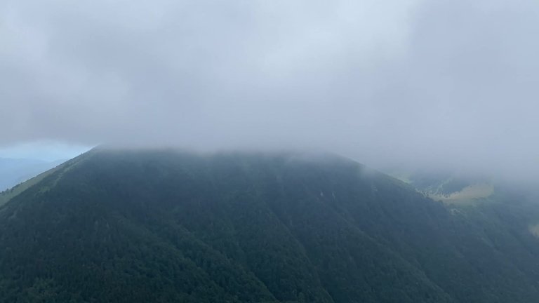
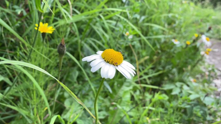
After a while we got our first glimpse, a village could be seen in the distance. We were in a level five protection area. Camping, making fires and picking plants were completely prohibited here. We even read that a girl who picked flowers along the path was fined. So, we had to be careful.
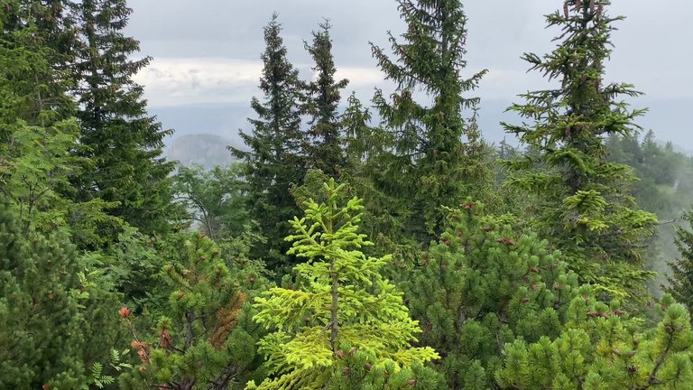
We continued left along the green route. We needed to reach a place called Sedlo Zákres. We would be at the summit in 15 minutes. The weather seemed to be improving. Although it was 300 meters lower than Veľký Rozsutec, the climb was much harder and steeper. Luckily the weather was nice here and we enjoyed the breathtaking view of the mountains.
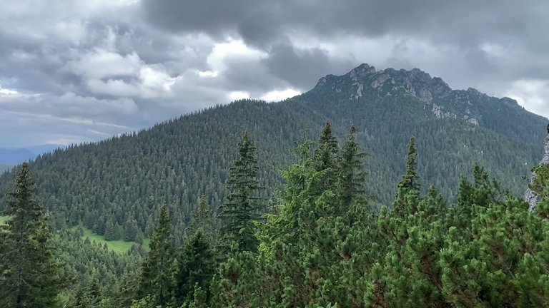
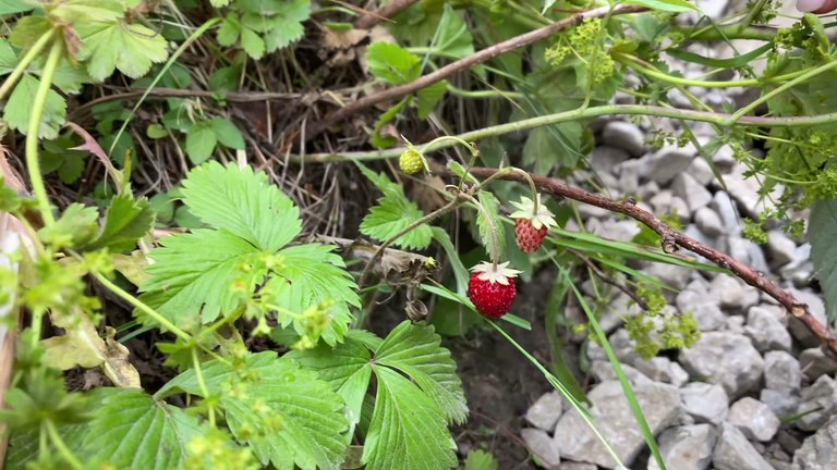
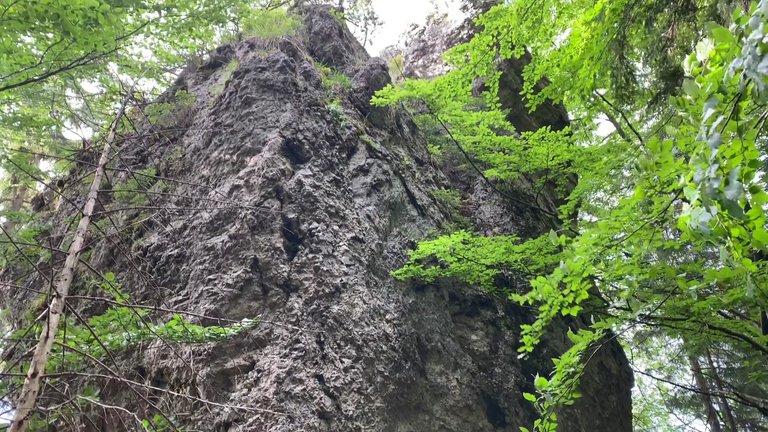
Then we left the summit and headed towards Jánošíkove diery. It felt like a giant had placed a huge stone here. The path led us to the village of Podrozsutec. There was some civilization here. We thought there must be a buffet, as we needed some food. Luckily there was an open buffet. After eating we continued our journey.
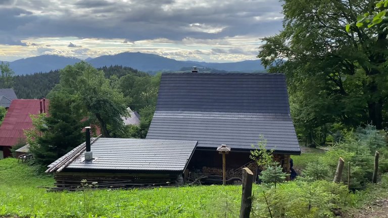
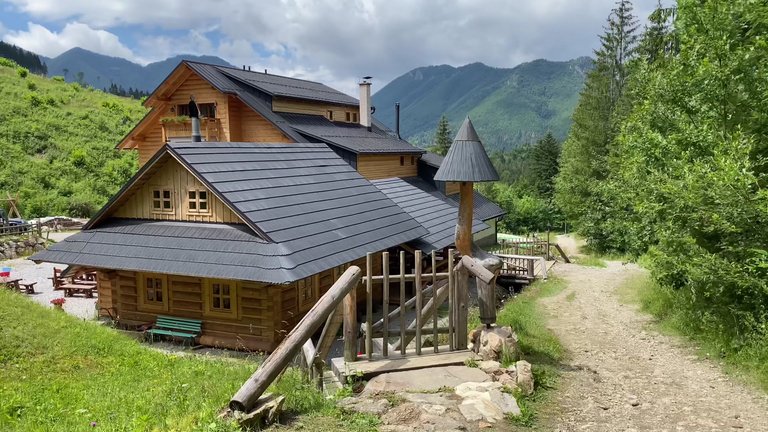
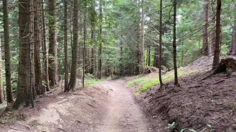
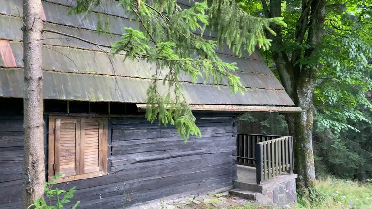
Our route was quite varied even with gravel paths. It was a very comfortable checkpoint. We walked through the forest, accompanied by the songs of birds. We saw an abandoned forest ranger's house. If you just want to go to Jánošíkove diery, it is easier to start from the parking lot. Since we stayed in the nature reserve, we had to return to where the hiking trails began. There is a 2-euro voluntary entry fee at the entrance to Jánošíkove diery. Fishing, listening to music, going off the trail, littering and camping are prohibited.
Veľký Rozsutec nature reserve is one of the top five hiking routes in Slovakia. You have the chance to walk over continuously flowing waters, wooden and metal steps, bridges, ladders, logs and ropes. It is very similar to the Slovak paradise. Since we arrived late on the route, there were almost no tourists, only a group of people returning at the beginning. When we reached the summit it was like a stone had fallen because there was a noticeable pit. This pit couldn't have been man-made. Next to this pillar, if you turn right, there are yellow and green paths, which are only for ascending. However the blue path is for both ascending and descending. You can't walk here with white shoes; definitely bring spare hiking shoes because it will be quite muddy.
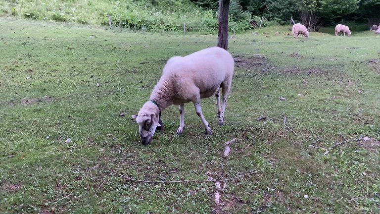
There were many stone figures here, almost like the Stone Age. Following the blue route, we walked two kilometers down, then switched to the yellow route and began our return to our hotel in Štefanová. There was a grassy area on our way, with a buffet, but it was closed because we arrived late. We saw a fence and a wooden carved bear statue. Last year, it was reported that a bear family had come down from above.
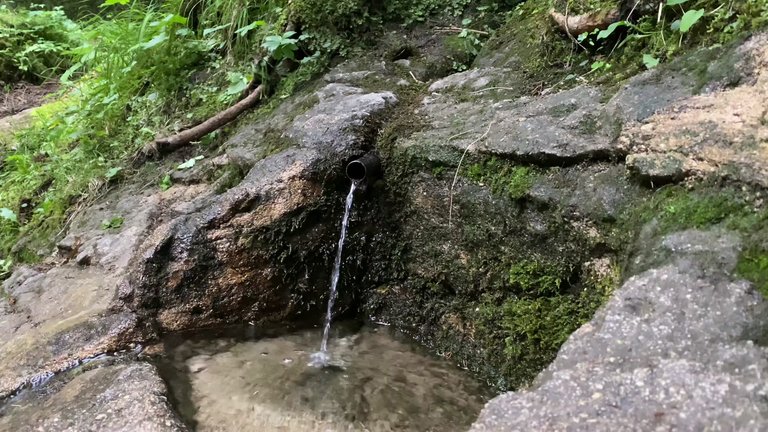
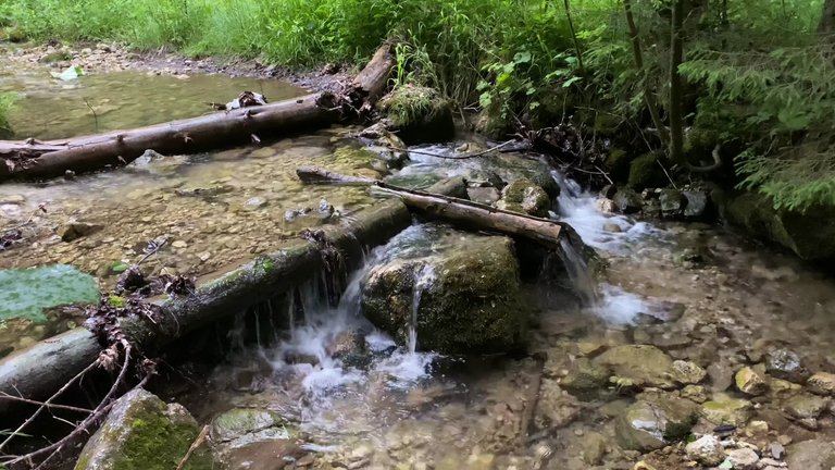
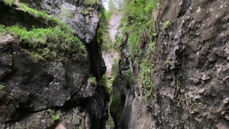
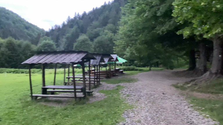
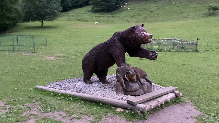
We needed to walk for another 20 minutes, but we probably wouldn't find dinner because everywhere was closed. We had to use our night vision devices. We walked a total of about 20 kilometers. Knowing that the restaurants would be closed, we had brought ready-to-eat food with us. But the food was not as good as we expected. Luckily we had bananas with us.
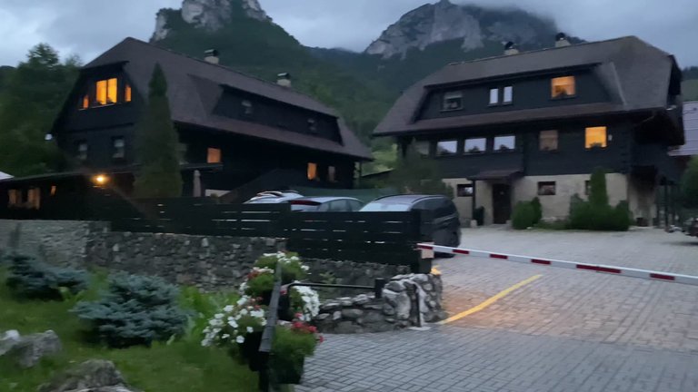
On the second day our journey was heading to Veľký Kriváň, the highest point at an altitude of 1710 meters. We planned to reach it in about four hours. We were taking the blue route and while our destination was not yet clear, we kept moving forward.
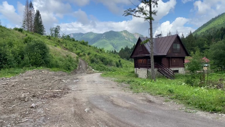
We stayed in the village of Štefanová for two days. This village looked like an open area. There are many obstacles and rocky areas along the way. We reached our first checkpoint, which has been around since 1949 and has been in operation for more than half a century. It didn’t seem to be at its best nowadays because the inside was empty. This area seems more suitable for winter sports since there are opportunities for skiing. After advancing a bit we began to climb again and a sudden rain started. Walking in the fog higher up was quite challenging. As we ascended we felt like a hobbit carrying a ring. The slope was quite steep and the hike became more difficult.
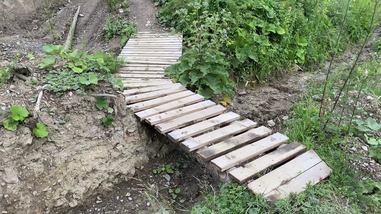
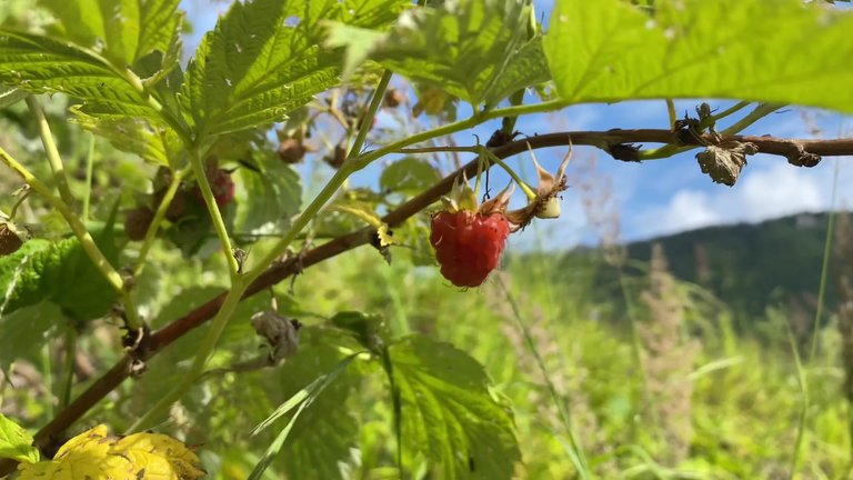
As we climbed higher we saw that the rain had started again. We hurried to put on our raincoats. The rain was approaching quickly, so we had to climb up fast. We walked about five kilometers and still had 15 kilometers to go. The next peak is called Severny vrchol, covered with snow. This area was quite challenging, with small hailstones falling like needles.
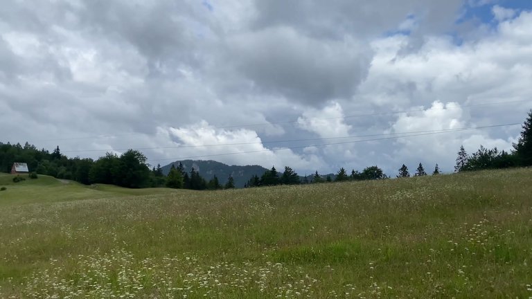
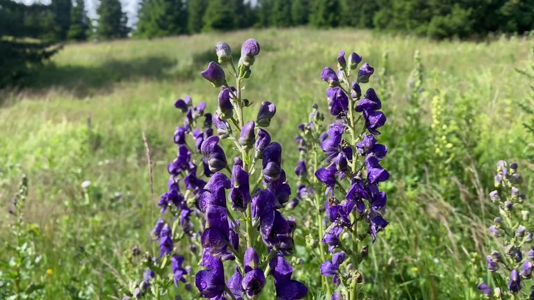
When the sun started to shine, the view was incredible. We were walking between a mix of clouds, rain and sunshine. On the hills there were grassy areas filled with flowers and we took a short break in these areas. We planned to go to a hut at the base of a hill called Chleb to have lunch and rest. When we reached Chleb Hill, the view was perfect. At an altitude of 1708 meters, this place is one of the highest points in the area. In winter it is a popular destination for skiers. We had something warm to drink and rested a bit inside the hut.
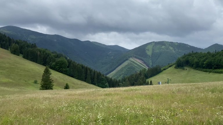
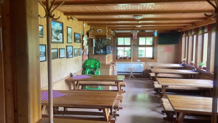
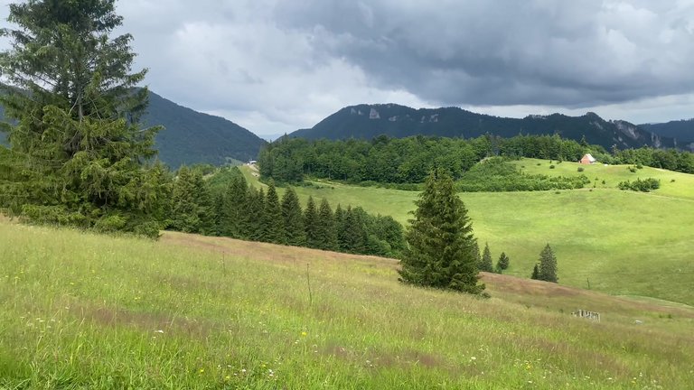
As the clouds started to gather again, we continued our hike. As we climbed towards the summit, the rain began again. To avoid the rain while trying to reach the summit, we took a cable car. After climbing to the top we used the cable car to descend and save some energy.
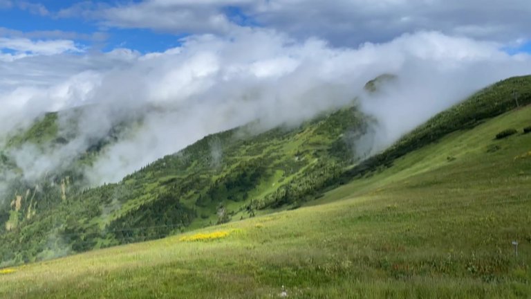
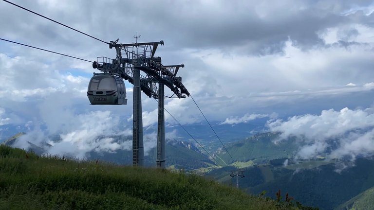
After descending the cable car stopped; we were the last passengers. At high altitudes, we passed through an area that once had a large stream. Now this dry streambed used to be like a large river. During the hike we saw many monuments and memorial plaques. These plaques commemorated people who had died in the mountains here.
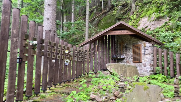
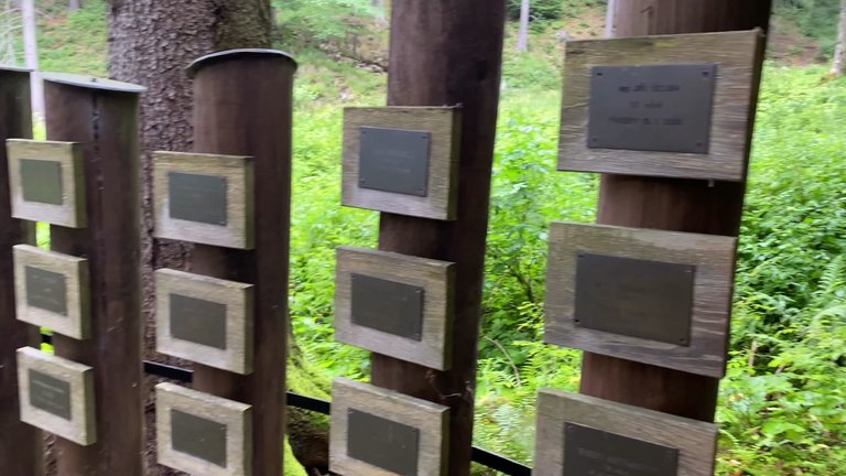
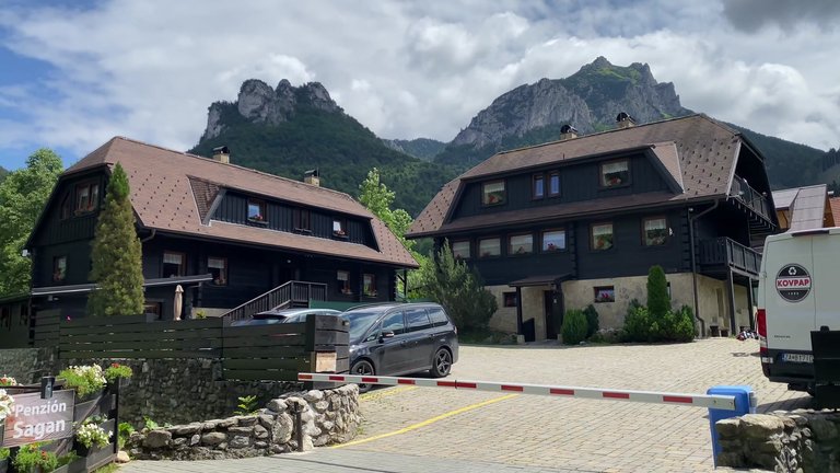
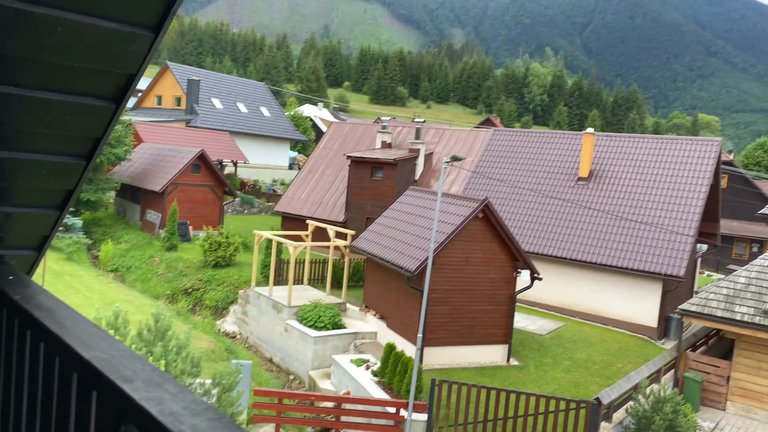
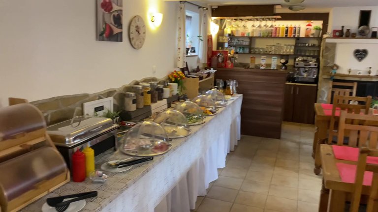
Finally we returned to the village of Štefanová. We walked about 25 kilometers and our journey took a total of 11 hours. The pension we stayed at, Pension Sagan, was quite comfortable. It had a bath, a jacuzzi and a beautiful view. We paid 162 euros for two nights, which was a bit expensive, but the location and amenities were excellent. Breakfast was also provided in the mornings, but we usually left early and couldn't take advantage of it.
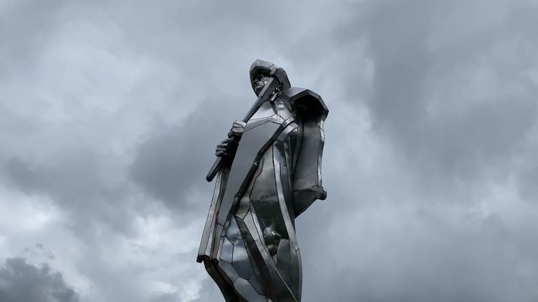
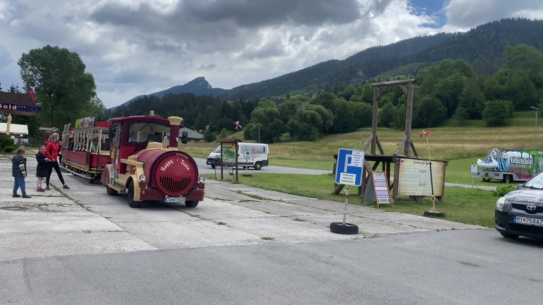
After leaving the pension we went to the nearby village of Terchová. This is the hometown of Slovakia's national hero, Juraj Jánošík. Jánošík is known as a folk hero who stole from the rich and gave to the poor. Under his statue, there was a toy train that children loved. The village of Terchová stood out with its modern infrastructure and offered many amenities for tourists.
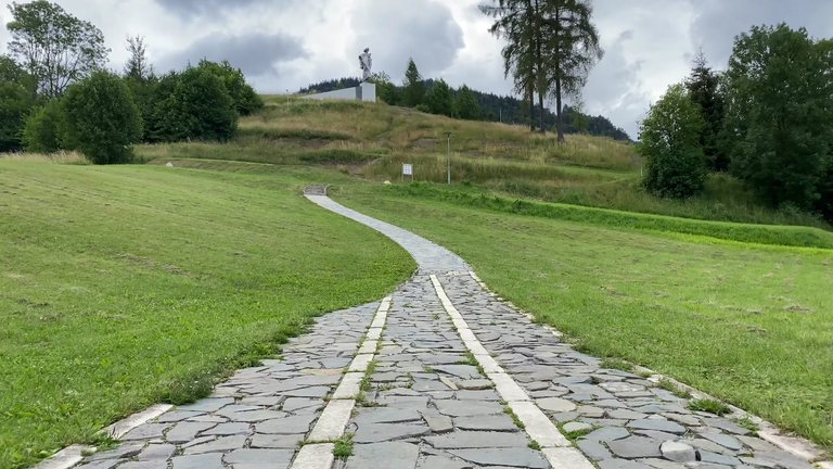
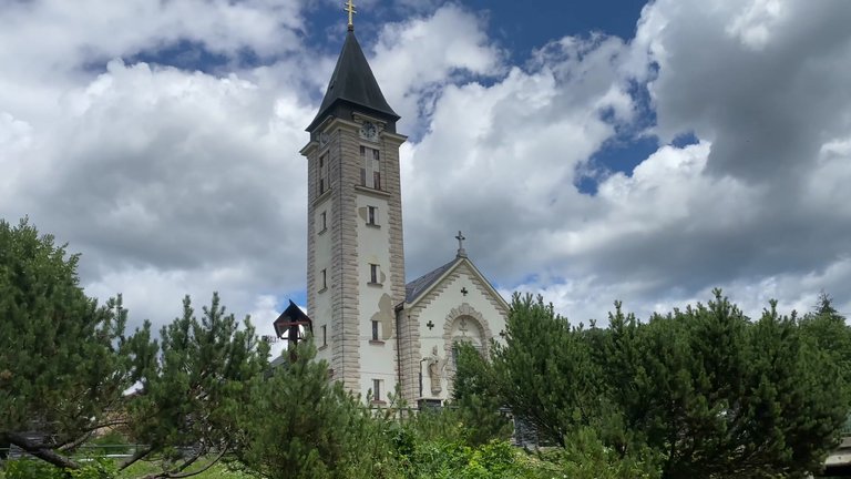
The village also had the Church of St. Cyril and Methodius. This church was built in 1949 and every year in July, a festival called St. Cyril and Methodius Days is held.
Finally we climbed an observation tower near the village. This tower offered stunning views of the surrounding mountains and villages. On our last day in Malá Fatra, we tried the local cuisine and then set off for home. Despite the challenging weather conditions, the Malá Fatra mountains left us with unforgettable memories.
Congratulations @belico! You received a sweet smile from TravelFeed. We love your work so keep up the good job. 😊
Thanks for using TravelFeed!
@for91days (TravelFeed team)
PS: TravelFeed is in social media to reach more people, follow us on Facebook, Instagram, and X.
Thank you so much for the support!
Hiya, @lauramica here, just swinging by to let you know that this post made it into our Honorable Mentions in Travel Digest #2245.
Your post has been manually curated by the @worldmappin team. If you like what we're doing, please drop by to check out all the rest of today's great posts and consider supporting other authors like yourself and us so we can keep the project going!
Become part of our travel community:
thank you 😊
Congratulations @belico! You have completed the following achievement on the Hive blockchain And have been rewarded with New badge(s)
Your next target is to reach 7000 upvotes.
You can view your badges on your board and compare yourself to others in the Ranking
If you no longer want to receive notifications, reply to this comment with the word
STOPCheck out our last posts:
Congratulations, your post has been added to WorldMapPin! 🎉
Did you know you have your own profile map?
And every post has their own map too!
Want to have your post on the map too?