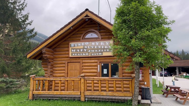
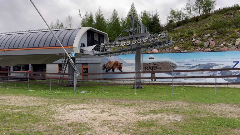
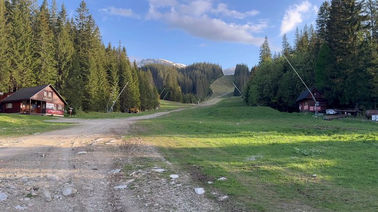
Hello. This time we set out to visit the Low Tatras in Central Slovakia. Our 300 kilometer journey from Bratislava to Demänovská village took three hours by car. It was May. We decided to do some walking and explore the surroundings in the Demänovská valley. Unfortunately everything was closed because it was a holiday on the day we visited, which was disappointing. This place is about 1000 meters above sea level and there was a huge multi-story complex almost like a mountain city. It's a place where new buildings are being constructed at every step. We found the Information center, only to learn that it was completely closed that day. There were a few vending machines here, but nothing they offered was interesting to us. The receptionist at our accommodation advised against going to the summit, as it had rained all day the previous day and they thought everything would be wet the next day. Therefore we did not plan to go to the summit. There was a lot of construction activity going on here, almost like a high-altitude metropolis. There was a closed cable car with a fox symbol drawn on it. We actually saw a fox when we arrived. My friend said the fox looked better in cartoons. We hoped we wouldn't encounter large game animals like wolves or bears.
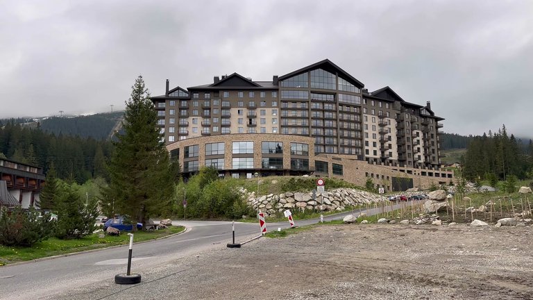
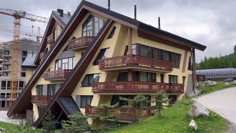
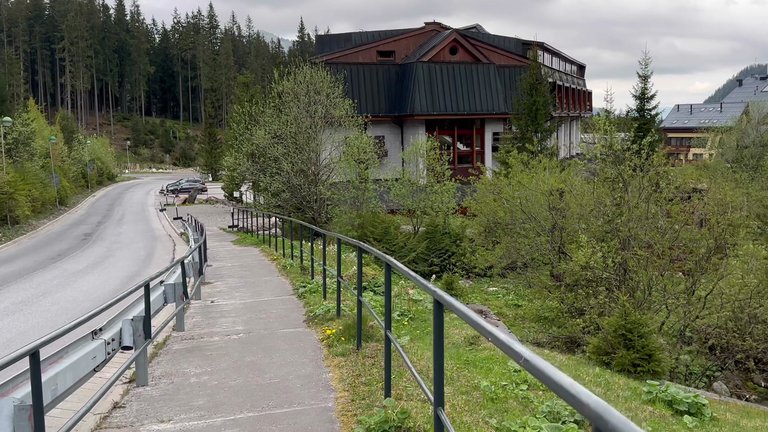
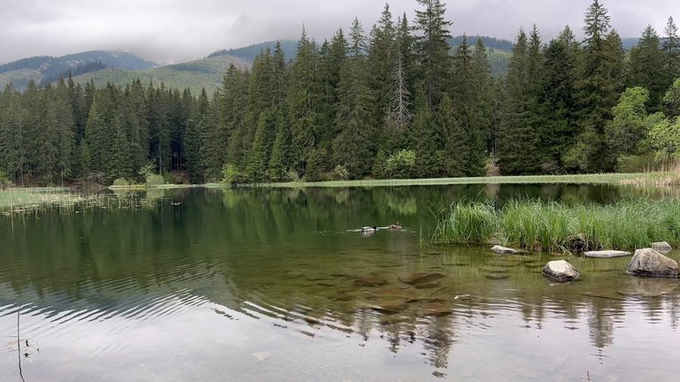
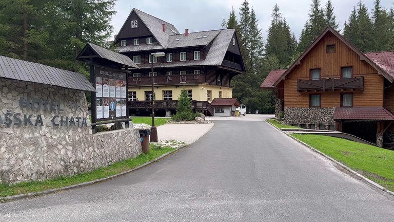
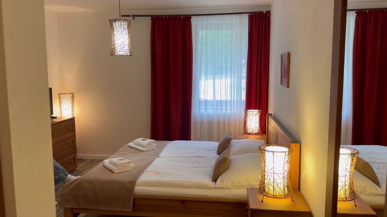
Our hotel was right next to Vrbické pond. This place is quite scenic and beautiful. We stayed at Mikulášska Chata, a large hotel complex. There is a bowling alley and saunas here, which we used after the hikes. Although the rooms were quite small, they were bright and comfortable. We paid a total of 175 Euros for two nights.
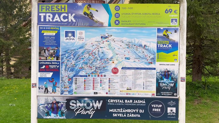
Demänovská Valley is a village located in the Liptov region, within the terrain of the Low Tatras. It is home to the Jasna Ski Resort, which has hosted World Cup events in various years. Demänovská Valley is also popular among tourists for its unique caves.
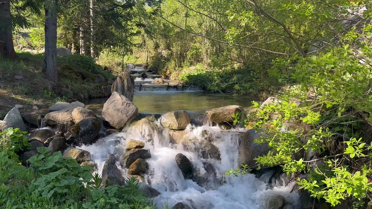
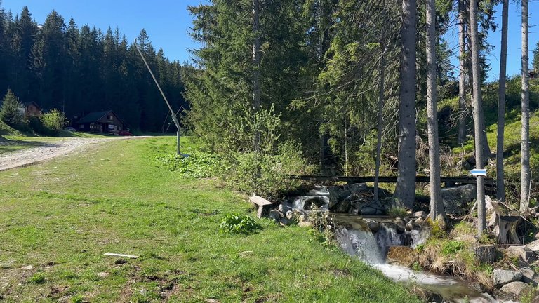
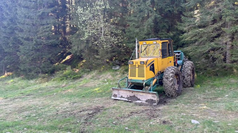
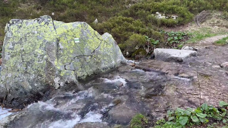
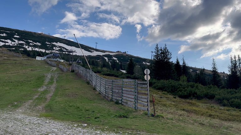
On our second day we had breakfast and set off for the summit. The weather had been quite bad the previous day, but it was sunny that day and we were sure we would see magnificent views if we reached the summit. We took our first steps and followed the blue trail. There were trail markers, but they were very few, so we followed the ski trail because there were snow machines and tractors there.
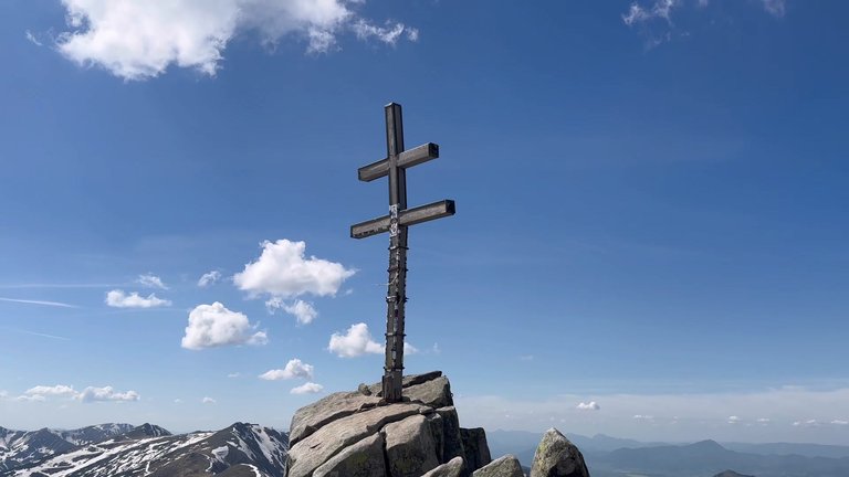
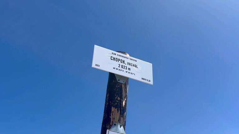
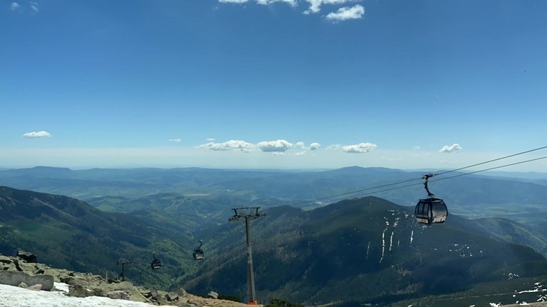
Despite it being May there was still snow. We reached the summit of Mount Chopok. The sign at the top indicated an elevation of 2023 meters. The weather was very nice and the visibility was very clear. In the distance the High Tatra Mountains and Slovakia's most popular peaks were visible. The Low Tatras national park offers excellent conditions for holidays throughout the year due to its unique nature. Jasna is recognized as Slovakia's best winter sports center. The north and south slopes of mount Chopok are open for trekking and hiking in spring, summer and autumn.
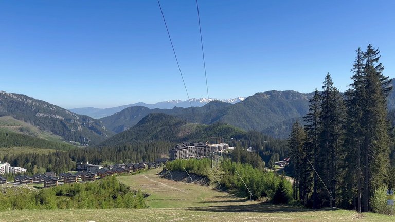
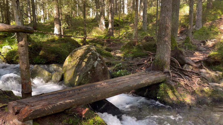
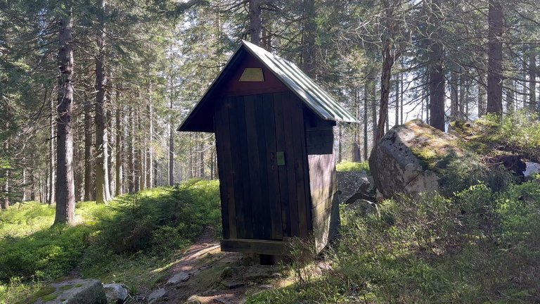
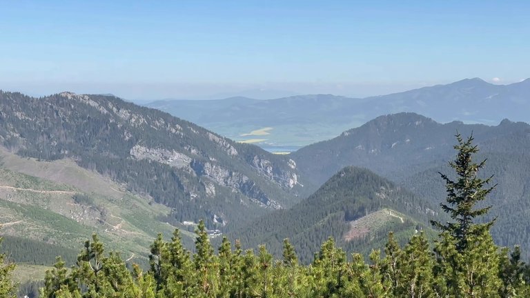
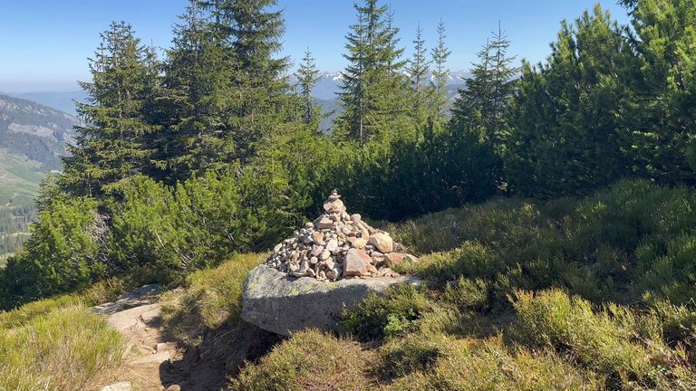
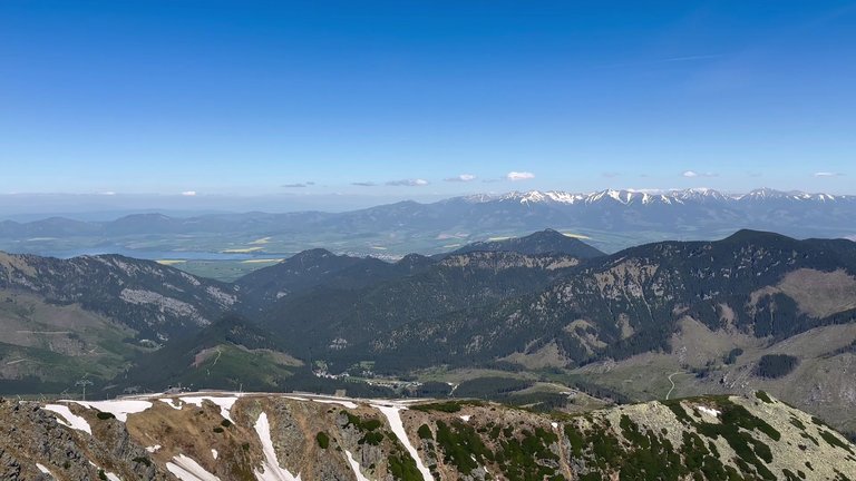
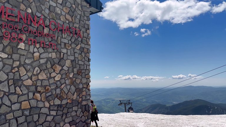
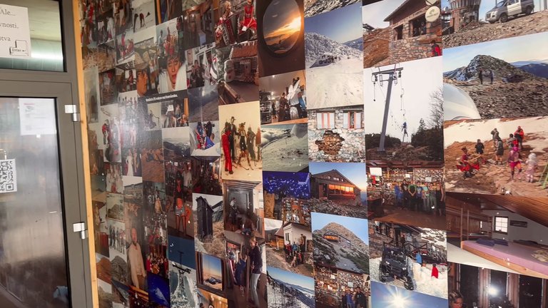
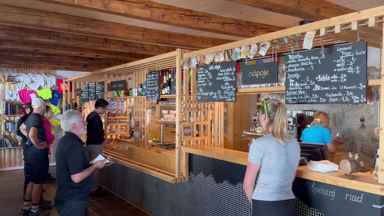
We then started descending from the Tatra mountains. Liptovský Mikuláš became partially visible. I remembered an incident when a bear once descended into Liptovský Mikuláš and injured five people. The area is quite active, bears are frequently seen and they visit different villages and towns. We brought two sprays with us in case we encountered a bear on the road. As we were leaving our hotel they told us the restaurant would open, but we didn't go there. Instead, we went to Kamenná chata, also known as the Stone House, which was open. Everything was working, we filled our drinking water and had a snack. This house also has a summer terrace, but it was closed at the time, probably being prepared for the season. We were sure the lifts were not working and when we arrived, they were still closed, but they opened after a while. It's an ideal place for those going up to Chopok and then descending immediately.
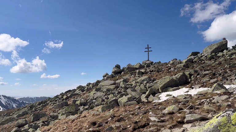
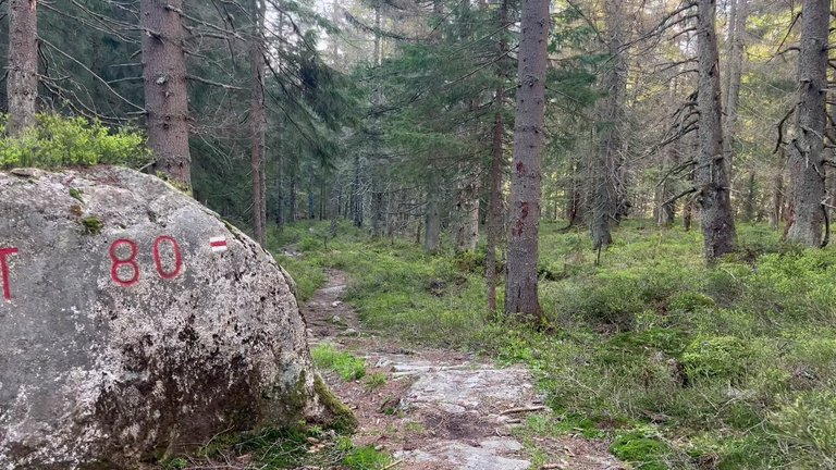
But we didn’t come here randomly. We also planned to visit another summit, the highest point in the Low Tatras, Mount Ďumbier, which is 20 meters higher than Chopok. We followed the red trail, the longest tourist trail in Slovakia, which spans 770 km. The route starts in the northwest of Slovakia at the Polish border and passes through cities like Bardějov and Košice. It explores protected areas such as Slovak Paradise, the Low Tatras and the High Tatras, extends 25 km into the Czech Republic and ends near Bratislava. The entire route was marked with red and white signs. We followed this legendary trail for a bit and reached the summit.
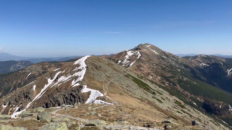
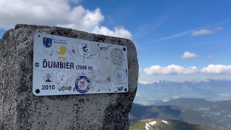
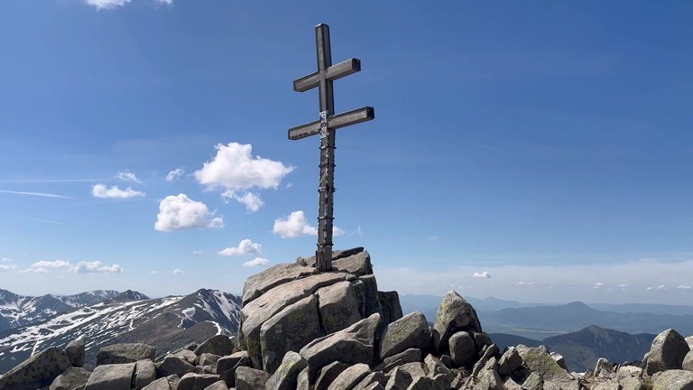
We descended from Mount Ďumbier and as usual, didn’t want to return via the same route, so we took the green trail. We changed our route to see something different. We went down the green trail, zigzagging through snow-covered passes. The path improved significantly but remained quite dangerous in places. At the next checkpoint we left the green trail and joined the red trail. There were many felled trees here and it was forbidden to collect mushrooms, camp, light fires, play loud music, or make noise. Then we returned to the starting point. It was an active hike. we covered 20 km and reached two summits.
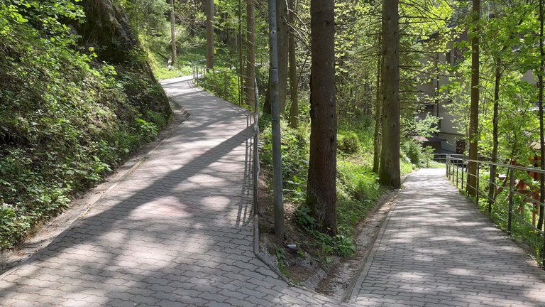
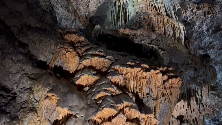
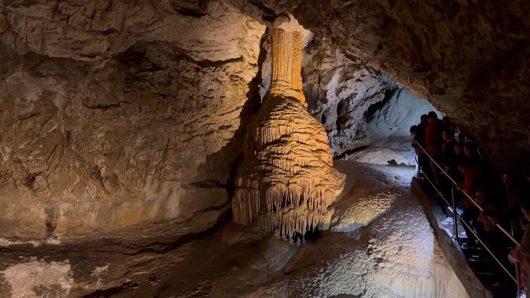
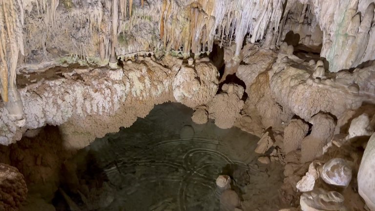
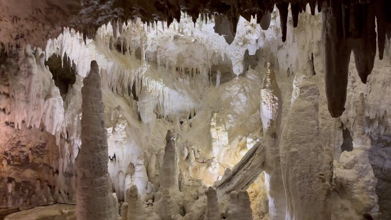
The next day we decided to visit another attraction in the area the Demänovská Cave of Liberty. We went inside to see what the Demänovská Cave had to offer. It is a vast underground labyrinth network, with still unexplored sections, but only the Freedom Cave and the Ice Cave are open to tourists. Demänovská Cave is located 870 meters above sea level, so we had to climb another 10-15 minutes to reach the entrance. The cave was discovered in 1921 and opened to tourists in 1924. The lower part of the cave has an underground river, with a large number of stalactites and stalagmites. It is considered one of the most beautiful and popular caves in Slovakia, with its multi-layered labyrinths and impressive lighting and is quite popular throughout Europe. The cave was declared a national natural monument in 1933.
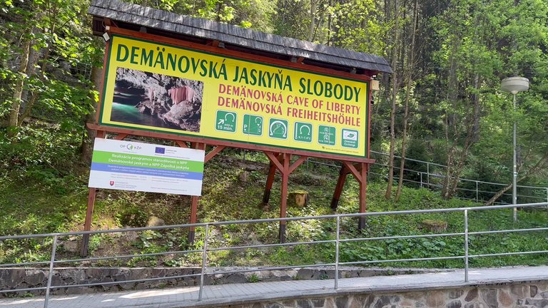
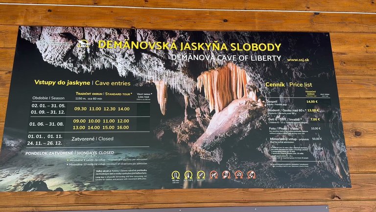
It was quite cold in the cave, with temperatures usually ranging from +6 to +4 degrees Celsius, so it is recommended to bring warm clothes when visiting. The entrance fee for adults is 14 euros and if you want to take photos or videos, you need to pay an extra 10 euros. However most people just take their own photos without paying the extra fee. If you come by car there is a parking lot below where you can leave your vehicle for 10 euros for 4 hours.
We enjoyed our time in the Low Tatras and were very fortunate with the weather conditions. Thank you for reading my post.
Travel Digest #2255.
Become part of our travel community:
- Join our Discord
Hiya, @ybanezkim26 here, just swinging by to let you know that this post made it into our Honorable Mentions in Your post has been manually curated by the @worldmappin team. If you like what we're doing, please drop by to check out all the rest of today's great posts and consider supporting other authors like yourself and us so we can keep the project going!Congratulations @belico! You received the biggest smile and some love from TravelFeed! Keep up the amazing blog. 😍 Your post was also chosen as top pick of the day and is now featured on the TravelFeed front page.
Thanks for using TravelFeed!
@for91days (TravelFeed team)
PS: TravelFeed is in social media to reach more people, follow us on Facebook, Instagram, and X.
Congratulations, your post has been added to WorldMapPin! 🎉
Did you know you have your own profile map?
And every post has their own map too!
Want to have your post on the map too?
Congratulations, your post has been added to the TravelFeed Map! 🎉🥳🌴
Did you know you have your own profile map?
And every post has their own map too!
Want to have your post on the map too?
- Go to TravelFeed Map
- Click the create pin button
- Drag the marker to where your post should be. Zoom in if needed or use the search bar (top right).
- Copy and paste the generated code in your post (any Hive frontend)
- Or login with Hive Keychain or Hivesigner and click "create post" to post to Hive directly from TravelFeed
- Congrats, your post is now on the map!
PS: You can import your previous Pinmapple posts to the TravelFeed map.Opt Out