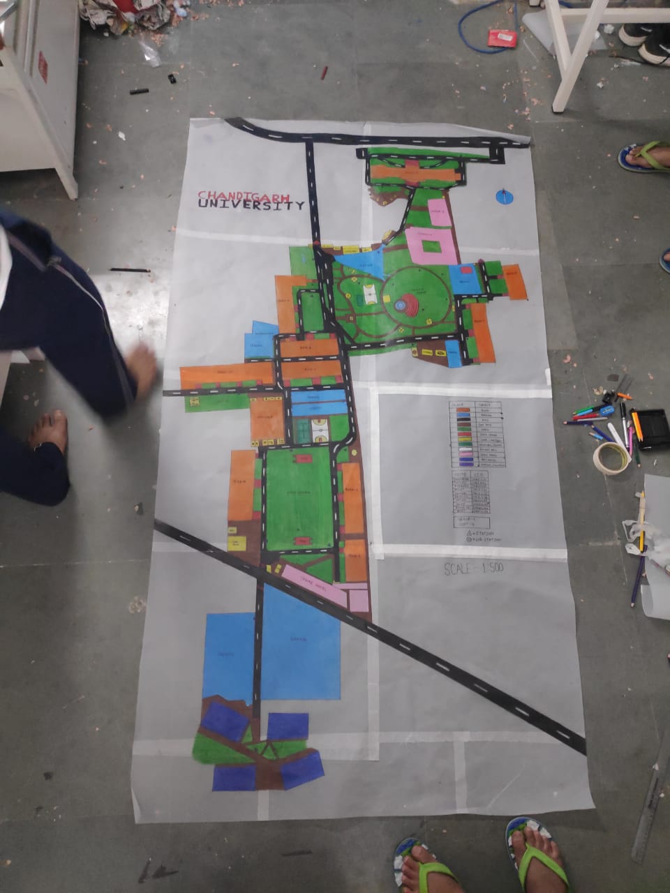
Topographical Map of my UNIVERSITY i.e CHANDIGARH UNIVERSITY.
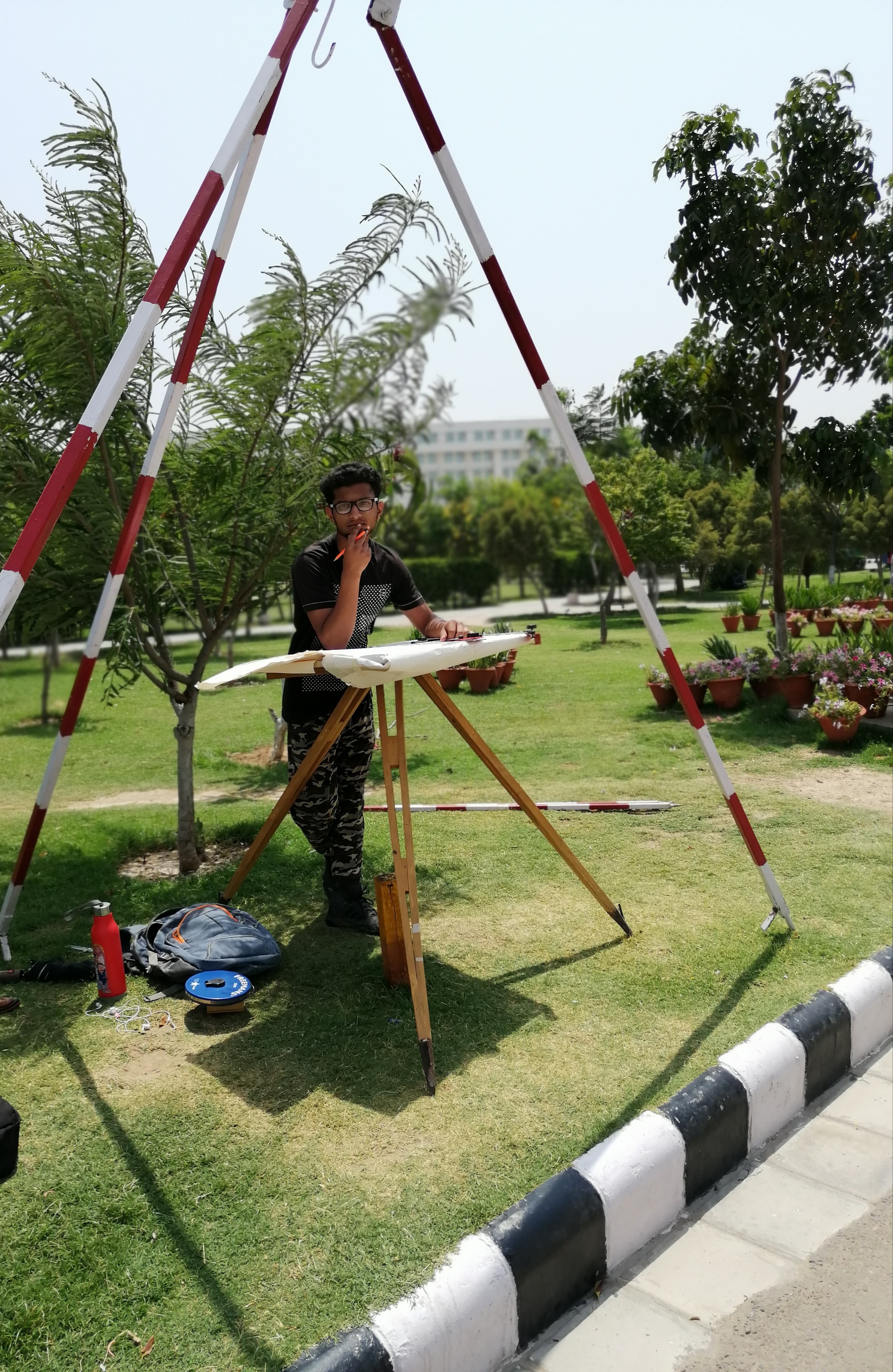
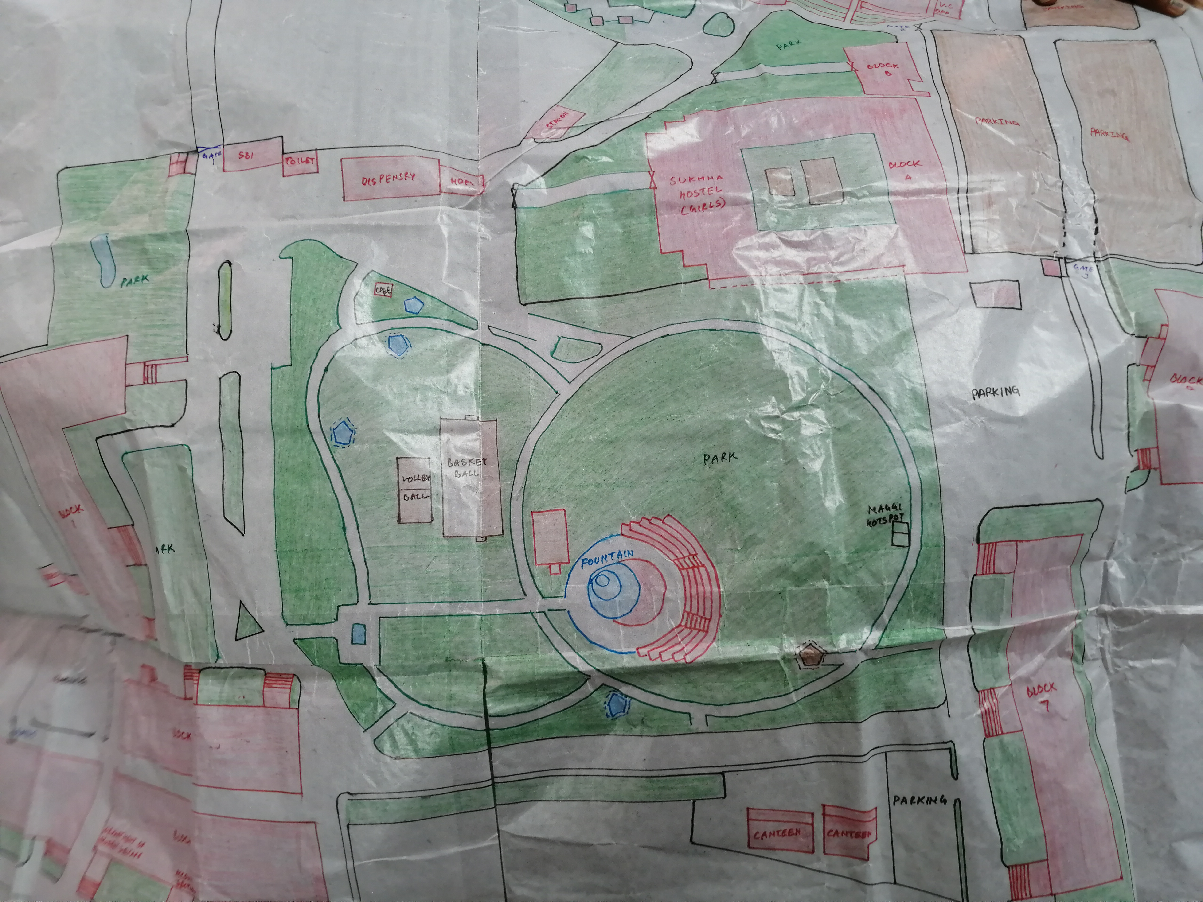
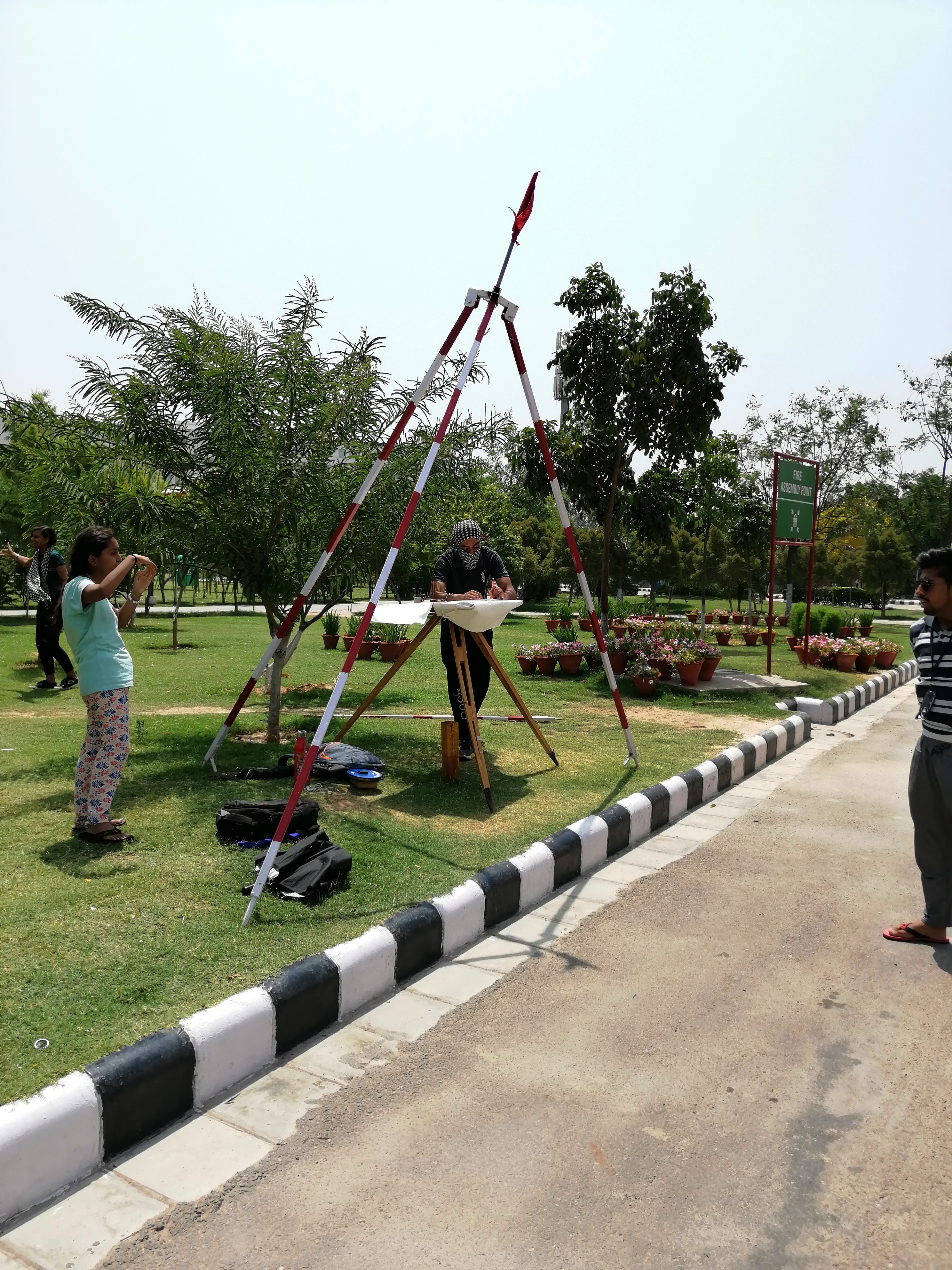
During my 2 year of graduation we were assigned a project of making a TOPOGRAPHICAL MAP our university using PLANE TABLE SUREVEYING.
Basically PLANE TABLE SURVEYING is a method of representing the fields point/ existing points on chart simultaneously.
Were were total of 10 person in one group . We were given total of 14 days to complete our task .

41 points were marked for us , from where we had to take reading. It was a very great work to do . We were very excited to do such work which will help us in future.
So before we start our work we had to learn about different instruments to be used in PLANE TABLE SURVEYING.
The list of basic instruments we used :-
1-PLANE TABLE :-Table is used to lay the sheet upon , on which we mark on readings.
2-ALIDADE :- it is a device which is used to see (Sighting Device) used for knowing the angles and directions. It has two ends :-
i- Object Vane
ii-Sight Vane
3-PLUMB BOB:- it is a device which is used to know the vertical line . We keep it at the center to know the center point where we will station our PLANE TABLE.
4-SPIRIT LEVEL:- it is a device which is used to know the level of the surface (Horizontal /Vertical Level).
5-METRIC TAPE :- Tape is used to measure the distance between the table and point of intersection.
6-RANGING RODS:- It is a instrument which is used to mark the location / point of intersection.
7-TRIPOD :- Device which is used to support the instrument like Plane Table , Theodolite etc.
8-DRAWING SHEETS :- We need sheets to make drawings , marks our readings on paper .
9-CLIPS / SCREW:- These are used to clip the drawing sheets on the table so that sheets does not move.
10-COMPASS:- It is a device which is used to know the directions . In Plane table surveying it is used to know the NORTH.
These all instruments were mainly used by us . It was a time of summer , so doing work was tough during day time. Normal temp. was between 35c - 45c .

So we started our work from 1 sub station .First it was very tough for us to know how to do work. As the day went on we got to know about the things. How to measure , how to locate . how to see through alidade , how to hold your sheets , how to manage spirit level.
As days past on we kept doing our in the proper guidance our PROFESSORS , who were allotted to us.

Our university is divided into 4 sectors so we had to visit all the 4 sectors in order to make topographical map.
The most difficult part to make was a mountain area of the university.
Due to its structure , slope and levels we were facing a lot of problems.
We also visited Hostels in order to mark them on DRAWING SHEETS . The hostel we went was NEK CHAND TOWERS , in the picture below you can see that we have marked the hostel

It took us about 13 days to make a full topographical map of university . After doing underlying work for 13 days, now we had to dark it with black sketch pen . After highlighting it now we had to color it in order to make it more attractive.
After lot of work and dedication we completed our project and submitted our work . It was a satisfying work and we gained a lot of experience . We learnt many things during this period .
.
.
.
The photos i have shared were taken by our group , i don't take credit for these pictures. Few photos i have taken but not all .
I hope you like the post .

Congratulations @ankitverma21! You have completed the following achievement on the Hive blockchain and have been rewarded with new badge(s):
Your next target is to reach 200 upvotes.
You can view your badges on your board and compare yourself to others in the Ranking
If you no longer want to receive notifications, reply to this comment with the word
STOPTo support your work, I also upvoted your post!
Check out the last post from @hivebuzz:
Support the HiveBuzz project. Vote for our proposal!