September 5th, we were getting ready to move to Michigan, but I decided to take a day to get one last day of touristy things done.
First, we visited Wisconsin's highest point, Timm's Hill. Wisconsin is a relatively flat state, but isn't the flattest. At only 1951.5 feet high, Timm's Hill is the 39th-highest highest point in the country. (Michigan, interestingly, has the 38th.)
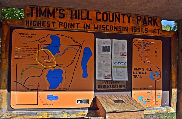
So, this was the board at the bottom of the trail - we took the shortest trail... which was 0.4 mile and plenty steep enough.
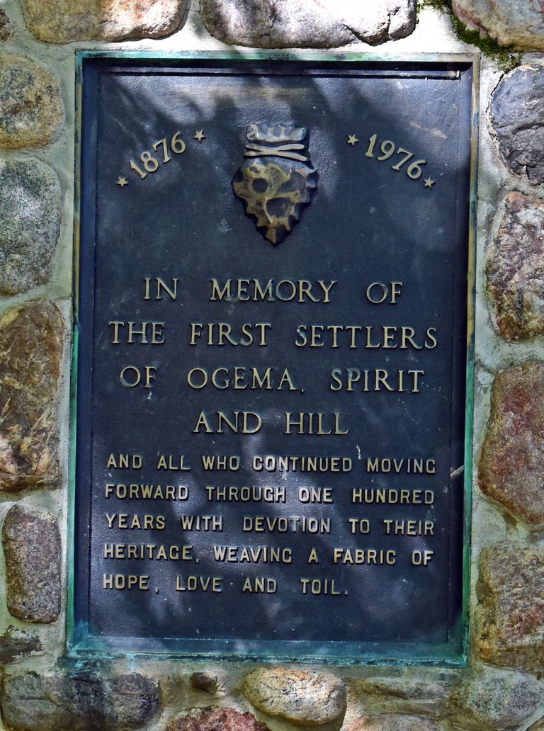
This plaque was also at the bottom of the trail. Ogema is pronounced with a hard "g" and is the nearest town to Timm's Hill. We went to a parade there last year.
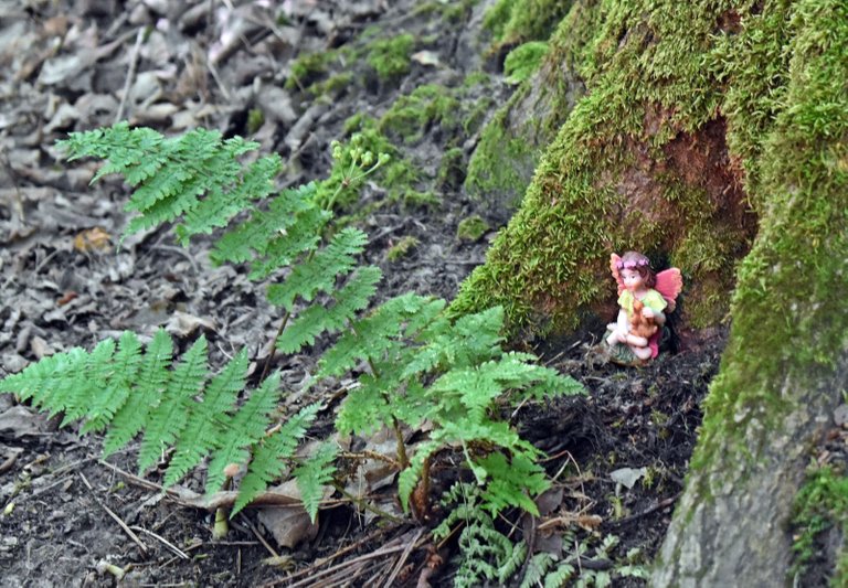
This little fairy called one of the oak trees home...
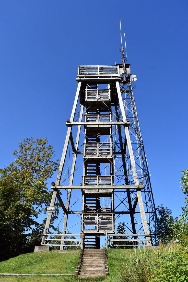
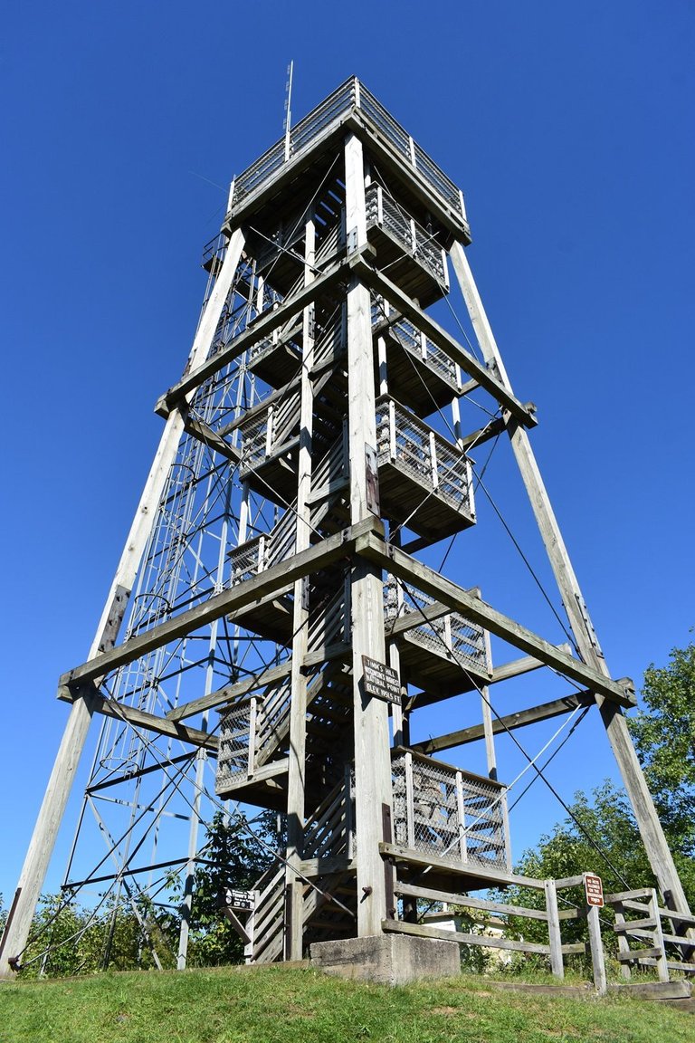
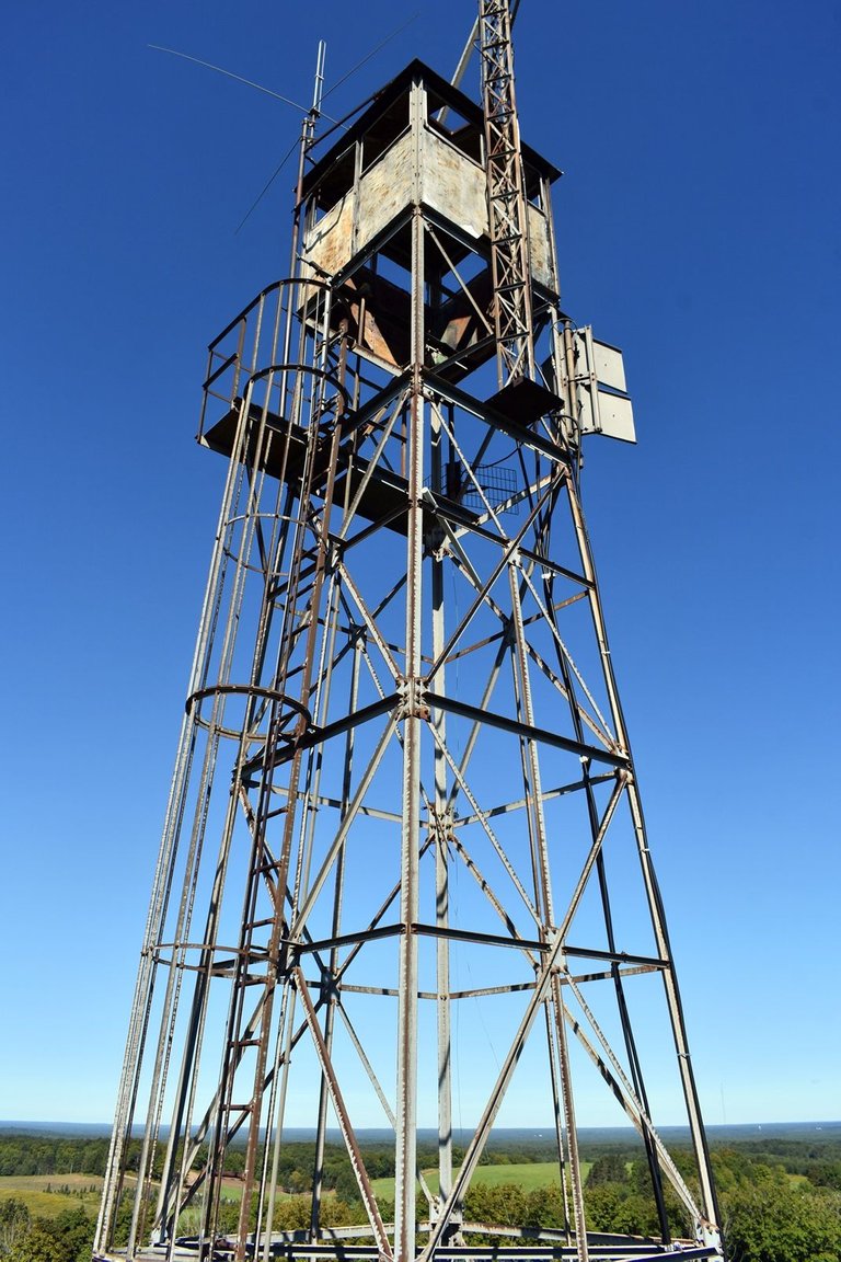
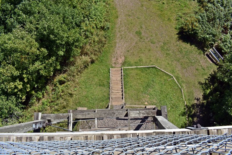
There is an observation tower at the top of the hill with 88 wooden steps. Add the 12 steps in front, you have a total of 100 steps up... and 100 down again (unless you have to work on the tower behind!)
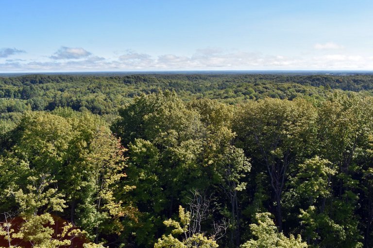
Even only halfway up, the view is quite nice. I found myself wishing we could do this again when the leaves were changing - but that wouldn't be easily possible this year.
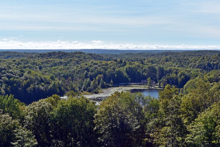
Bass Lake to the south...
And to the north...
And my video showing the view at the top of the viewing tower.
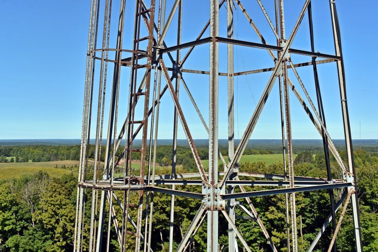
Still a long ways up the tower.
And a long ways down...
And then the 0.4 mile back to the car. @emberskydragon found her legs complaining for several days after this - due to this climb and the other hike we did on the same day - which I'll share next time.
Photos taken by myself in September 2022 with my Nikon D7200. Video shot with the Kodak AZ401.

(Summer morning on Chelsea Lake, Chelsea, Wisconsin.)
Past issues of...
Whimsical Wisconsin
Medford and Taylor County
| Featuring Medford | and | Taylor County |
|---|---|---|
| Easter at Mondeaux Dam and Flowage | Mondeaux Dam and Flowage One Week Later | May at Mondeaux Dam and Flowage |
| Afternoon at the Local Pond | Fishing Chequamegon Waters | |
| Snow |
Superior Shores
| Featuring Douglas, Bayfield, | Ashland and | Iron Counties |
|---|
Not Quite Spring on Lake Superior
Northwoods
| Featuring Price | and | nearby Counties |
|---|---|---|
| Big Falls on S Jump River - Price County |
Green Bay and Door County

Lori Svensen
author/designer at A'mara Books
photographer/graphic artist for Viking Visual
(Buy my work at RedBubble, TeePublic, PicFair and DeviantArt.)
verified author on Goodreads
(Buy my books at Books2Read and at LBRY)




Congratulations, your post has been added to Pinmapple! 🎉🥳🍍
Did you know you have your own profile map?
And every post has their own map too!
Want to have your post on the map too?
Hope the move went well!
!discovery 37
The move was stressful and everything, but we got it done. Still have some things to do in our new place, but it was what was needed. Maybe I can get back to posting a bit more again.
This post was shared and voted inside the discord by the curators team of discovery-it
Join our community! hive-193212
Discovery-it is also a Witness, vote for us here
Delegate to us for passive income. Check our 80% fee-back Program
It's really beautiful there, but way too flat hahahahaha, you must be one of them there "flat earthers" hahahahahaha!!!
Flatter... or something... lol
Something I learned in Wyoming, though, was that the difference in elevation is more important than the overall elevation. The Rockies may be taller than the Cascades, but it's the Cascades that do 0 to 14,000 feet within view... (I expect it's even more impressive in Hawaii.)
But yes, it's not all that high here. Where we are now looks more impressive than Timm's Hill...
How long does it take you to get on top? The tower alone is already a great view to see, how much more if you are on top of it.😀 I like those cute fairies on the woods, looks magical.!
That's a super good question! But I didn't time it or anything. It's only 0.4 mile, but it's a hill, so I would allow 15 minutes or so depending on your level of fitness. Down is a bit easier, of course... as long as you're careful!
Hiya, @ybanezkim26 here, just swinging by to let you know that this post made it into our Honorable Mentions in Daily Travel Digest #1691.
Your post has been manually curated by the @pinmapple team. If you like what we're doing, please drop by to check out all the rest of today's great posts and consider supporting other authors like yourself and us so we can keep the project going!
Become part of our travel community:
Hi @viking-ventures, your post has been upvoted by @bdcommunity courtesy of @rehan12!
Support us by voting as a Hive Witness and/or by delegating HIVE POWER.
JOIN US ON