Thailand has plenty of motocross tracks but doesn't have any official trail riding regions through the mountains. However, free riding along trails, tracks and exploring through mountains is tolerated and never reported - legally, I don't think there is even a law for it unless you clearly trespass on fenced land.
Even though there are no dedicated trail riding areas like there are in parts of Europe, the UK or the States, there are still lots of go-to hotspots that are famous for good riding, DIY forest jump sections and self cut trails.
These locations are often shared among moto riders, ATV groups, mountain bikers, trail runners and walkers and with so many different groups frequenting these parts, the upkeep and maintenance of the trails, jumps and berms is very good. Everybody chips in and contributes in someway.
It also helps when local municipality officials themselves are moto riders and mountain bikers and encourage new trails to be cut and maintained!
Khao Mai Kaew, just outside Pattaya, Thailand has for many years been the go-to place for such activities but it is still full of unexplored sections. One of the mysteries it offers is a huge pinnacle rock that stands tall above the tree line on one of the hillsides.
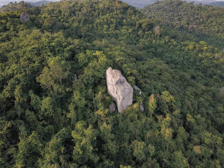
To scout out the area before trekking through the jungle, I flew my old Mavic Pro 1 drone over and took a series of photos from different angles to get a better understanding of the lay of the land.
The plan was:
- Ride up along an existing track to the top ridge,
- Scout out the best line by walking through the forest in the direction of the rock,
- Start cutting undergrowth to allow enduro bikes to push through,
- Expand the track a little more to make for a more permanent/fast ride line.
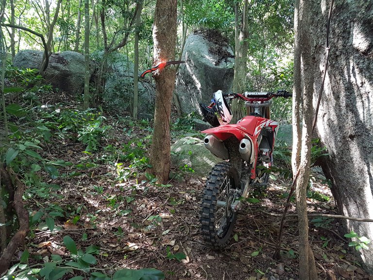
We knew that there was an unwritten rule that no trees thicker than 3 fingers should be cut and so alternative bypass routes were picked. Most of the cutting was slashing and pruning vines and brambles so trying to avoid the more developed trees was easy enough.
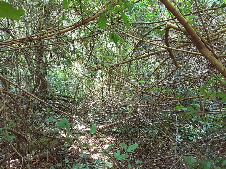
Most of Khao Mai Kaew forest is riddled with large granite rock boulders and as I cut through I passed many. I guess because of the rocky soil, a lot of the ground cover was fairly sparse and made for easy clearing as roots from larger trees found it hard to grow down in parts.
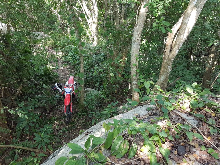
Weaving in and around the boulders made for a rather unique enduro trail. Some of the smaller boulders acted as perfect take offs for forest jumps and were planned into the route.
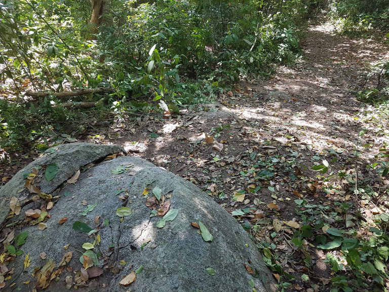
A slightly wider clearing on the landing side of the take off was cleared to make jumping slightly safer.
From the top view above, the landing looks fairly tame, but from the view below looking back up at the take off rock, you can see it's nothing but tame! The photo below shows that take off and landing view.
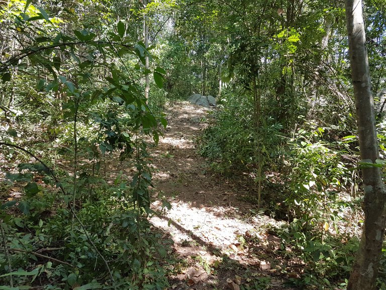
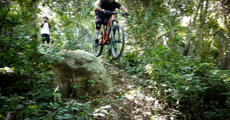
The mountain bikers were first to find one of the rock jumps further up the trail. A grainy blurry screenshot from a video can still show just how high some of the drop were.
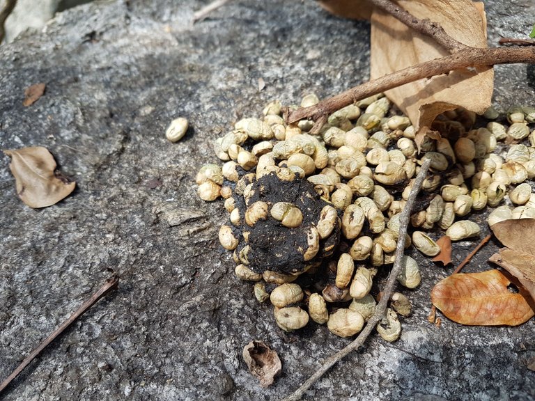
Monkeys are rarely encountered in these forests but can be heard or seen in tree tops from certain viewpoints. Monkey poop on what I assume to be territorial rocks or their hang out rocks can be found quite often.
Animal remains are also found as soon as you wander off the main path and spend a bit of time exploring. Wildlife is all small but still abundant.
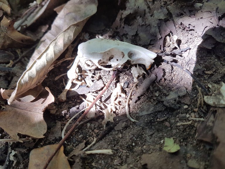
A small mouse/rodent skeleton complete with skull, ribs, vertebrae and other bones was spotted during the clearing.
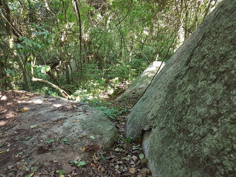
Not only are there skulls, feathers, poop and sounds throughout the forest but there are also lots of things ready to bite!
As I cut through to a natural clearing I took a rest and sat down. With little to no wind I wondered why one of the young saplings was moving way more than it should. Walking over I realised that it was a snake!
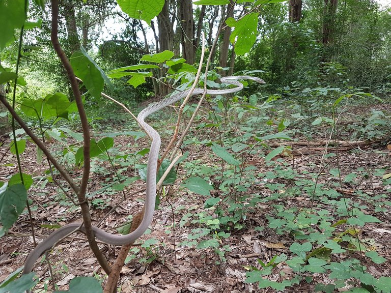
Continuing through the forest and leaving the snake to go about its business, I knew that I must be nearing the end rock. StravaHeat Maps, Google Maps and my Garmin tracker were helping record the route and kept me heading in the correct direction.
The satellite maps also helped inform upon the the best direction in terms of meeting certain rocks onroute and following the ridge. When forest is as dense as some sections in Khao Mai Kaew, it can be hard to see what's up ahead even 5 meters in front of you. Spending an hour cutting through a bramble nest in the wrong direction isn't fun!
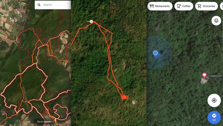
Image Source: Screenshots from Strava, Garmin, Google Maps
Wet sticky bogs lay in the dips between the folds of the top ridge and clearings were found in random spots for no apparent reason!
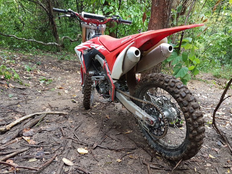
As I finally reached my destination I was met with a huge rock stack. Large boulders blocked the way forward and signalled the end of the route and that I had arrived.
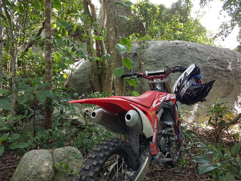
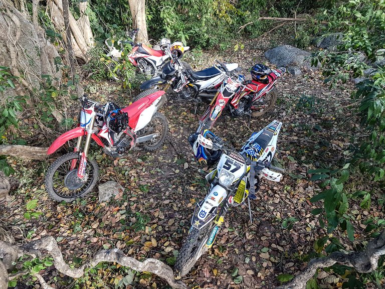
Since motocross bikes do not come with a footstand to stand the bike, trees are essential to prop up the bike when parking in the woods. Obviously there's never any trouble trying to find a suitable tree in Khao Mai Kaew.

I climbed up over the rock stack and started the last 50 meter scramble out to the huge pinnacle. It almost seemed like a jungle scene out of Tomb Raider!
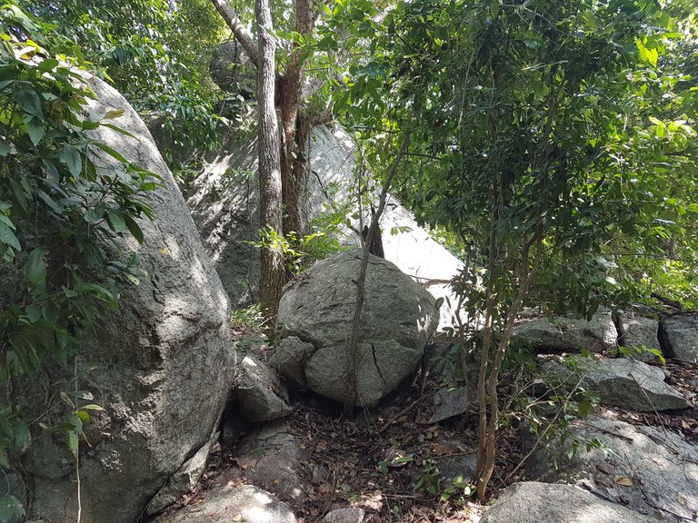
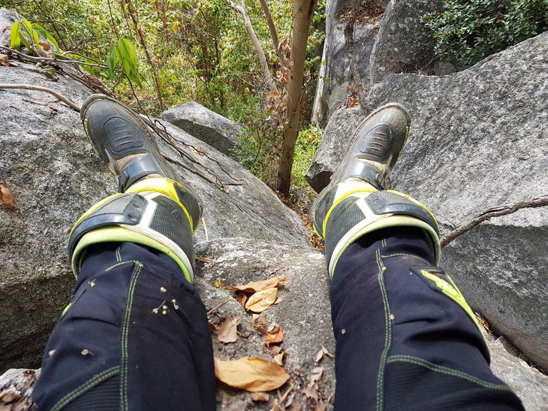
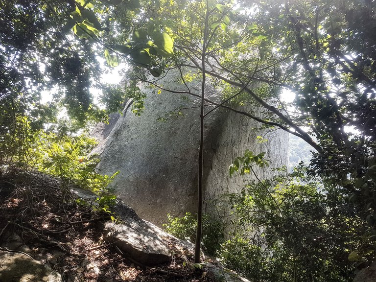
Climbing up and over numerous boulders led me to the rock so many people had talked about. I slashed and hacked vines as I climbed making the return and future visits easier but was sure I was likely to be one of, if not the first to reach the rock.
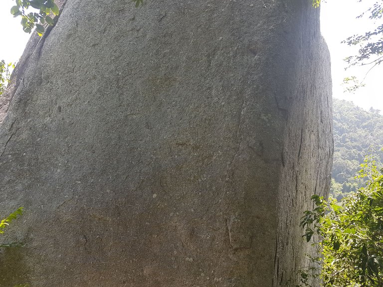
Disappointingly the giant rock was very difficult to photograph. using an older phone I was not able to make use of the newer wide angle lenses and due to the sheer size of the boulder, it was blocking the view - and of course the viewpoint would be from the top of the rock itself.
Contemplating a rock climb to the top, I decided against it when trying to spot hand and foot holds in the rock to climb with - there weren't any, plus I was wearing heavy motocross boots that restrict movement.
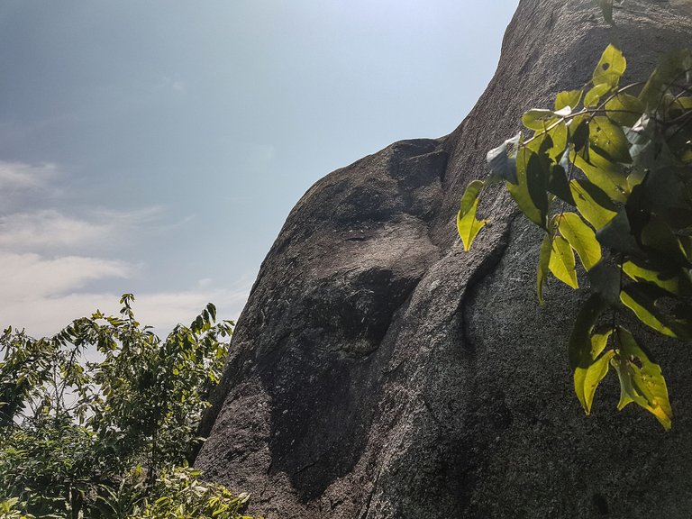
What can't be seen in the photos is that there were 10 to 15 meter sheer drops on both the left and right sides or the rock, not somewhere you would want to slip down to if you lost grip!
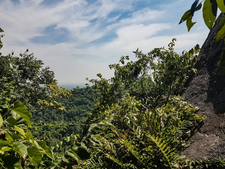
I had the drone photos loaded onto my phone and again started to look through them to see if there was in fact a spot that I could safely climb up and had yet to spot.
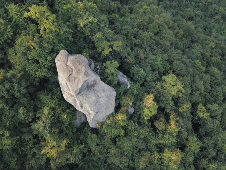
In the photo below you can see another protruding rock above the tree canopy in the background - this was one of the rocky sections on the ride/cut through seen in earlier photos of this post.
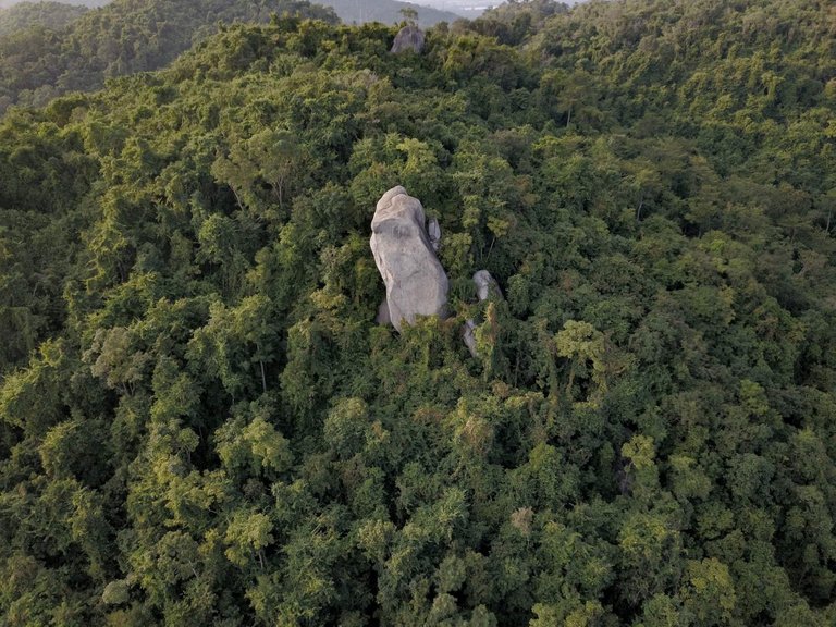
As much as I really wanted to climb up to the top and literally be the first person to conquer the pinnacle, I decided it was best left till another day, with better shoes, some climbing rope, a harness and a buddy in case of falling!
The climb is still on my to do list and will be climbed one day in the future. I hope!
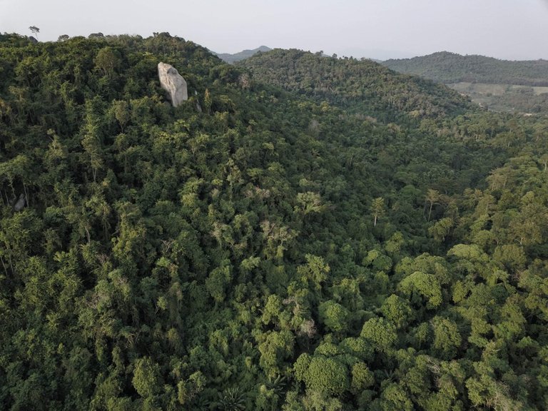
For now, I am sure that the drone photos are more than suitable to show the mighty rock in all its glory.
The news of my newly cut track spread through the moto groups and it wasn't long before I was asked to show riders the way up and out to the rock.
I hope you enjoyed this post and please follow for more like it in the future.
All content is original: the photos (unless stated), the writing and the adventure!
Not a fan of these bikes, especially in pristine wild nature as they disturb the wildlife and the tranquility of the place, but I am sure you were as careful and respectful as possible. A lot of effort in this post, many great shots. That deserves a little boost ;)
@tipu curate 4
Thanks for the comment @pbortun and yes I totally get your point. Motocross and enduro bikes are not for everyone and definitely not tolerated by all. Having shared tracks and jumps by moto guys, mountain bikers and trail runners would not really happen back hope and you would see a lot of argument erupt... Even more so from walkers enjoying the wildlife and nature. It's a tricky one! And surprisingly there is a lot of wildlife in this forest (albeit there may be a lot more without us) but the trails are maintained well by us and there are often litter picking walks each month... Unfortunatly there are some hikers that leave picnic mess littered around far too often!
I guess even with that, wildlife and plant life would flourish better without us! We are thoughtful in the lines we cut and trails we open or maintain, avoiding larger trees, certain plants etc and within one rainy season a track can easily dissappear and will be over grown beyond recognition. We do swap and rotate less popular routes allowing them to overgrow.
This of course doesn't happen in national parks or animal sanctuaries etc.
Appreciate your upvote and tipu curate tag.. Thank you.
Upvoted 👌 (Mana: 0/78) Liquid rewards.
Thank you for the upvote
Congratulations, your post has been added to Pinmapple! 🎉🥳🍍
Did you know you have your own profile map?
And every post has their own map too!
Want to have your post on the map too?
Your content has been voted as a part of Encouragement program. Keep up the good work!
Use Ecency daily to boost your growth on platform!
Support Ecency
Vote for Proposal
Delegate HP and earn more
Thank you for the vote guys. Much appreciated
Hiya, @LivingUKTaiwan here, just swinging by to let you know that this post made it into our Top 3 in Daily Travel Digest #1193.
Your post has been manually curated by the @pinmapple team. If you like what we're doing, please drop by to check out all the rest of today's great posts and consider supporting other authors like yourself and us so we can keep the project going!
Become part of our travel community:
Thank you for the vote