Welcome. I'm here again with another continuation of my summer trip from Davle to the town of Úterý along the Via Czechia trail. The trail leads through very interesting landscapes and even more interesting sights and towns. And we'll take a look at some of them in today's installment.
Vítejte. Jsem tu opět s dalším pokračováním mé letní cesty z Davle do města Úterý po stezce Via Czechia. Stezka vede skrze velmi zajímavou krajinu a ještě zajímavějšími památkami a městy. A na některé z nich se v dnešním díle podíváme.
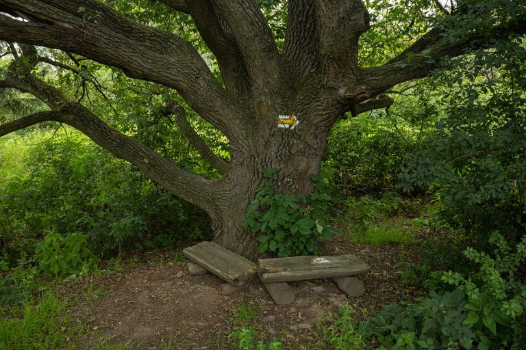
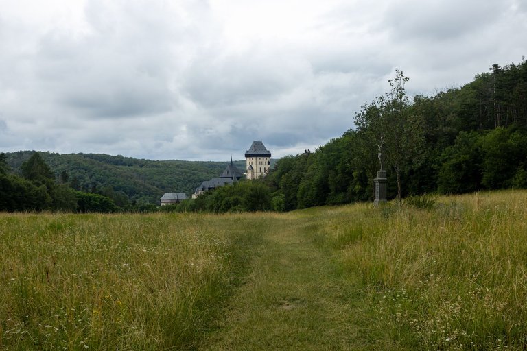
I spent the previous night in the highlands called Brdy from where I set off after sunrise to the valley of another river. This time I headed down the hill to Berounka. On the way I rested under a hundred-year-old oak tree. I passed the village of Zadní Třebáň and headed up the hill again to a meadow from which there is a view of Karlštejn Castle.
Předchozí noc jsem strávil ve vrchovině nazývané Brdy odkud jsem se po východu slunce vydal do údolí další řeky. Tentokráte jsem zamířil dolu z kopce k Berounce. Cestou jsem si odpočal pod starým dubem. Prošel vesnicí Zadní Třebáň a opět zamířil do kopce na louku odkud je výhled na hrad Karlštejn.
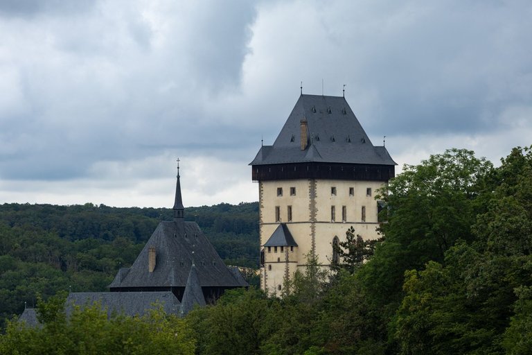
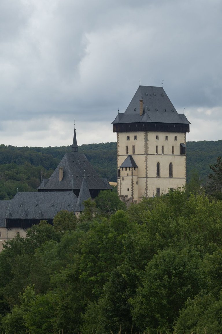
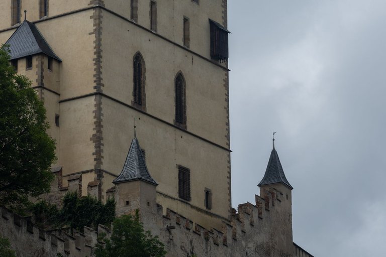
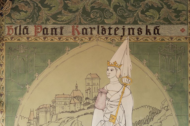
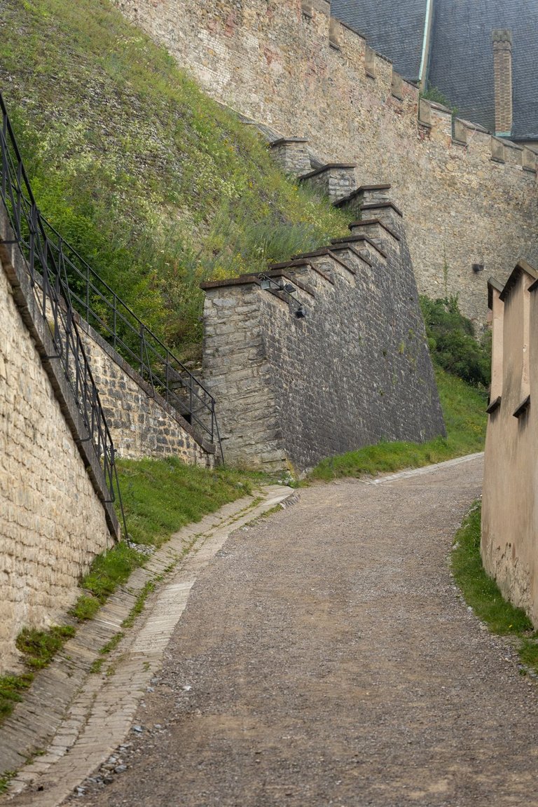
This was my second time at the castle this year, so I was challenged to take a photo of it a little differently than on my last visit. After that, I spent some time copying the path I had taken on my journey in the footsteps of Jan Hus.
U hradu jsem byl letos již podruhé a tak byla výzva ho nafotit trošku jinak, než při minulé návštěvě. Poté jsem chvíli kopíroval stezku po které jsem šel při mojí cestě ve stopách Jana Husa.
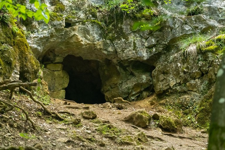
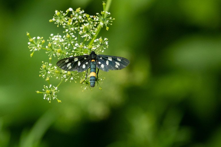
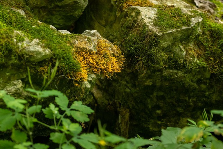
After about 4 kilometers I disconnected from the original trail and continued to the village of Srbsko. On the way I visited cave, of which there are a large number in the Bohemian Karst. There are also many thermophilic meadows where thermophilic animals live. Mostly invertebrates. As in the case of the butterfly in the photo.
Po přibližně 4 kilometrech jsem se z původní stezky odpojil a pokračoval do vesnice Srbsko. Cestou jsem potkal jeskyni, kterých je v Českém krasu velké množství. Je zde i mnoho teplomilných luk, kde žijí teplomilní živočichové. Většinou bezobratlý. Jako v případě vyfoceného motýla.
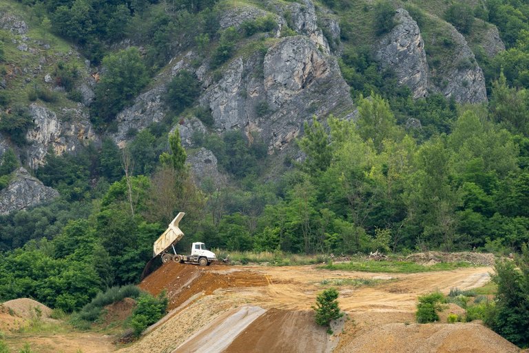
From Srbsko I had to take a detour on the road because the path around the river was closed due to railway repairs. So I ended up on the edge of one of the many limestone quarries that lie in the karst. Here I was attracted by a Tatra truck tipping its load over the edge of a cliff.
Ze Srbska jsem musel jít oklikou po silnici, protože stezka kolem řeky byla uzavřena z důvodu opravy železniční trati. Proto jsem se dostal na okraj jednoho z mnoha lomů na vápenec, který v krasu leží. Zde mě zaujalaTatra klopící náklad za hranou srázu.
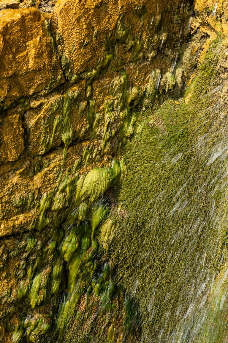
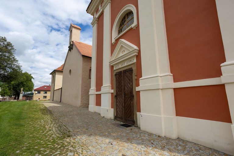
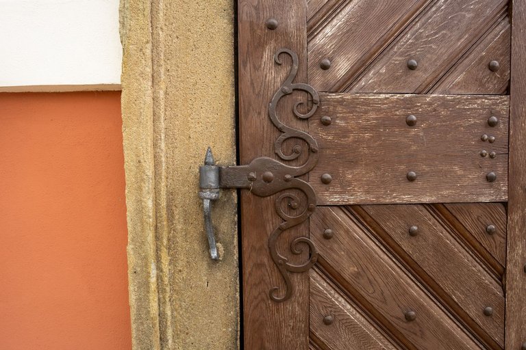
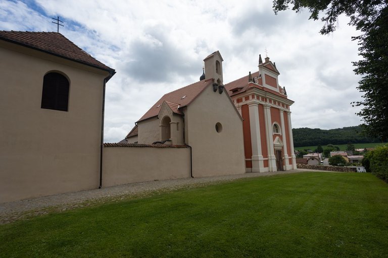
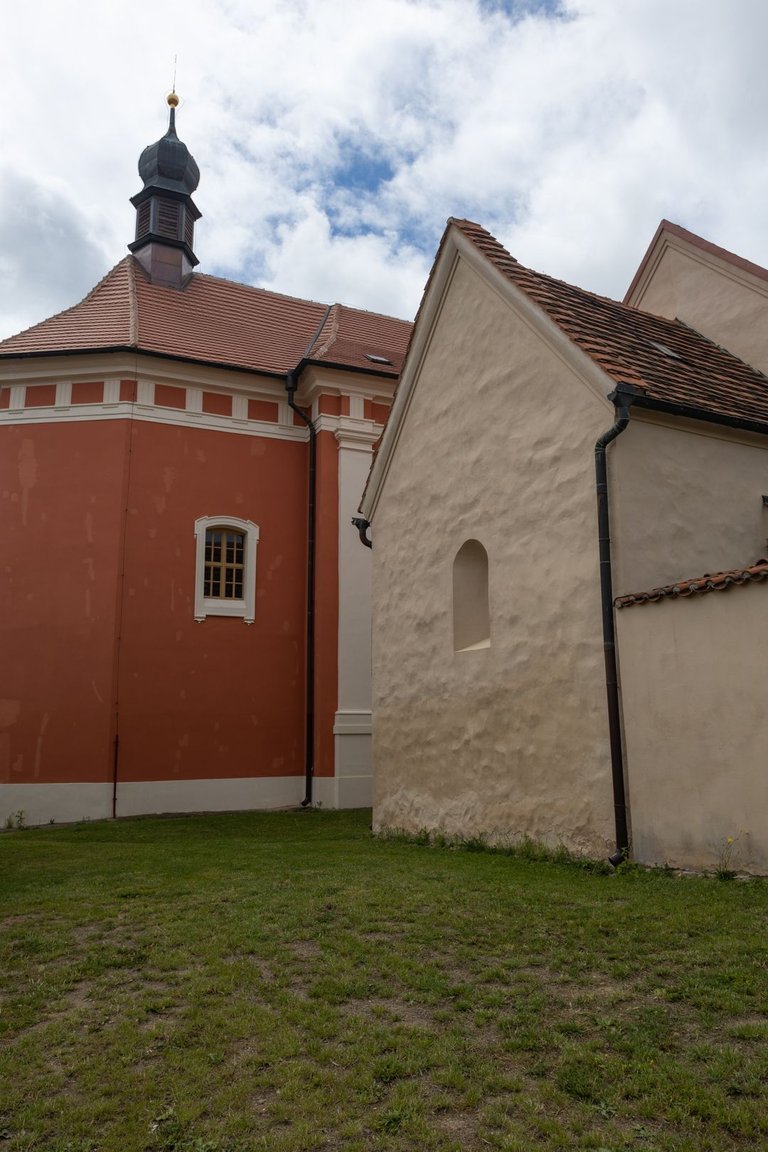
Another interesting place on this trail is the village of Tetín, where there is a group of churches from various historical periods on a hill.
Dalším zajímavým místem na této stezce je obec Tetín. Kde je na kopci soubor kostelíků z různých historických období.
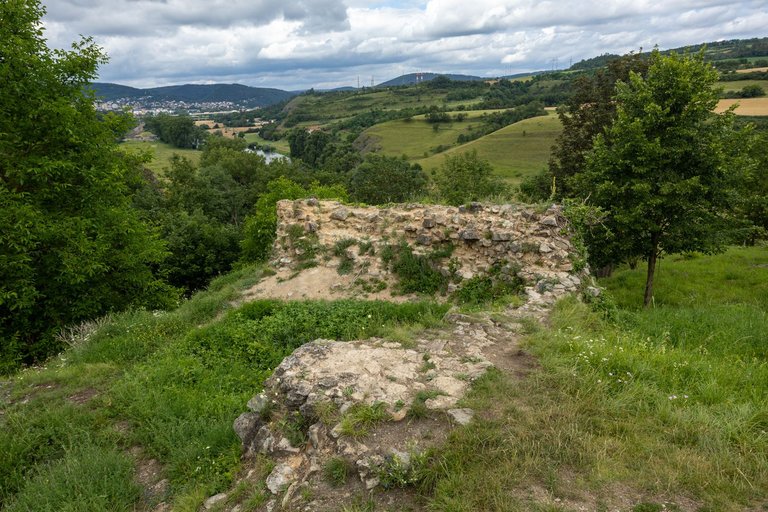
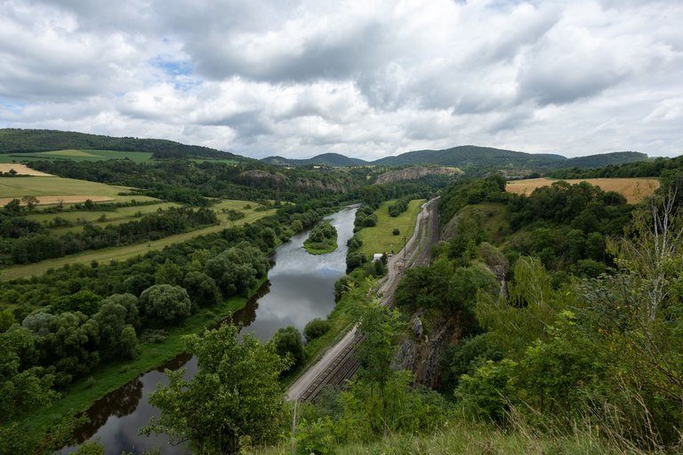
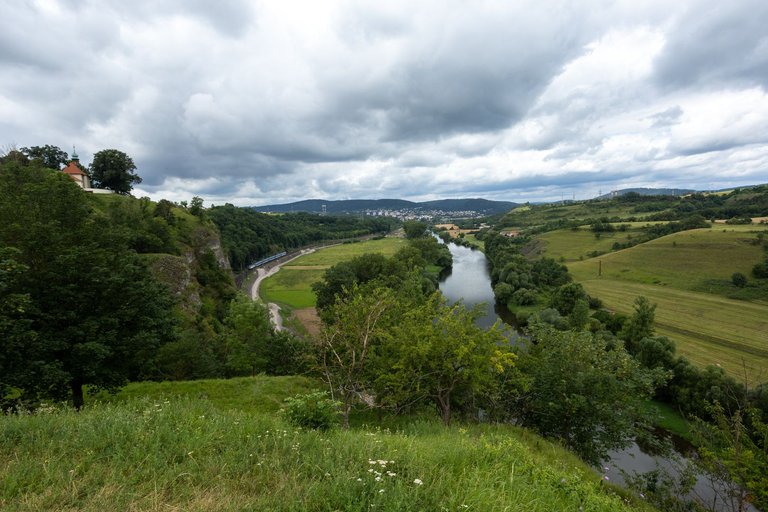
On the edge of the village there is a rocky promontory with the ruins of Tetín Castle, from where there is also a view of the Berounka valley.
Na okraji vesnice je skalní ostroh na kterém je zřícenina hradu Tetín. Odkud je také výhled do údolí Berounky.
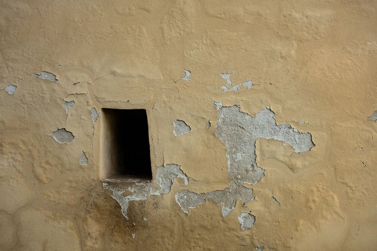
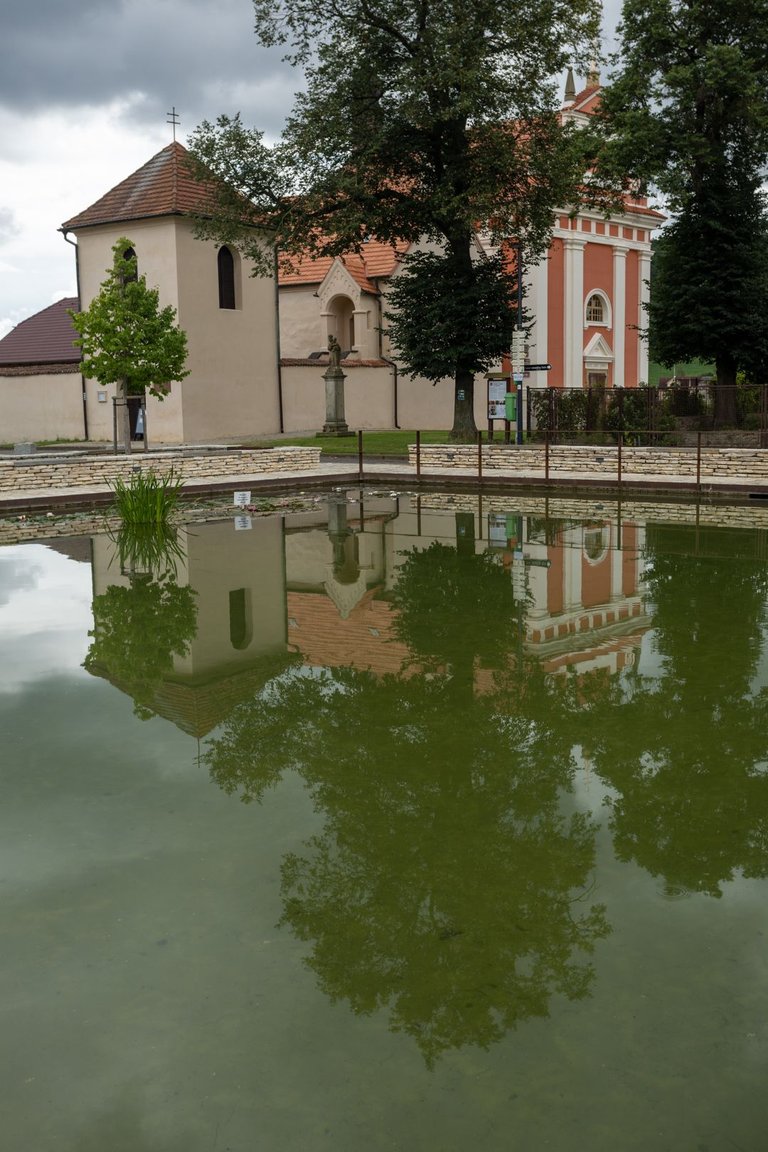
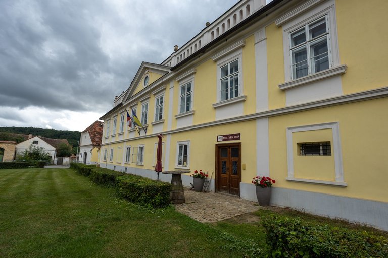
The square also houses Tetín Castle and a fire tank.
Na náměstí se nachází ještě zámek Tetín a protipožární nádrž.
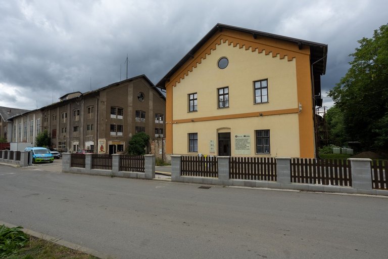
From Tetín I continued towards the town of Beroun. The path took me past the electricity substation, then past the train station. And while I was at the train station, it would have been a sin not to visit my favorite brewery, Berounský medvěd.
Z Tetína jsem pokračoval směr město Beroun. Cesta mě vedla kolem rozvodny elektřiny, dále kolem nádraží. A když už jsem byl u nádraží byl by hřích nenavštívit můj oblíbený pivovar Berounský medvěd.
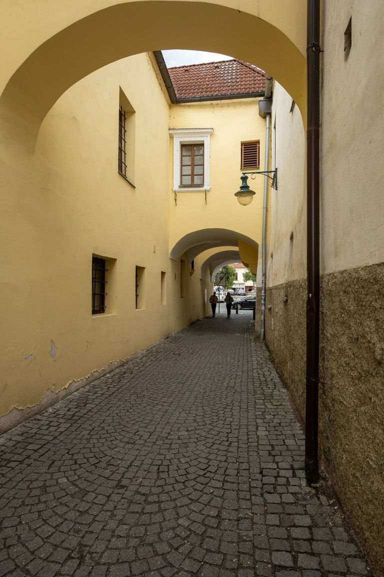
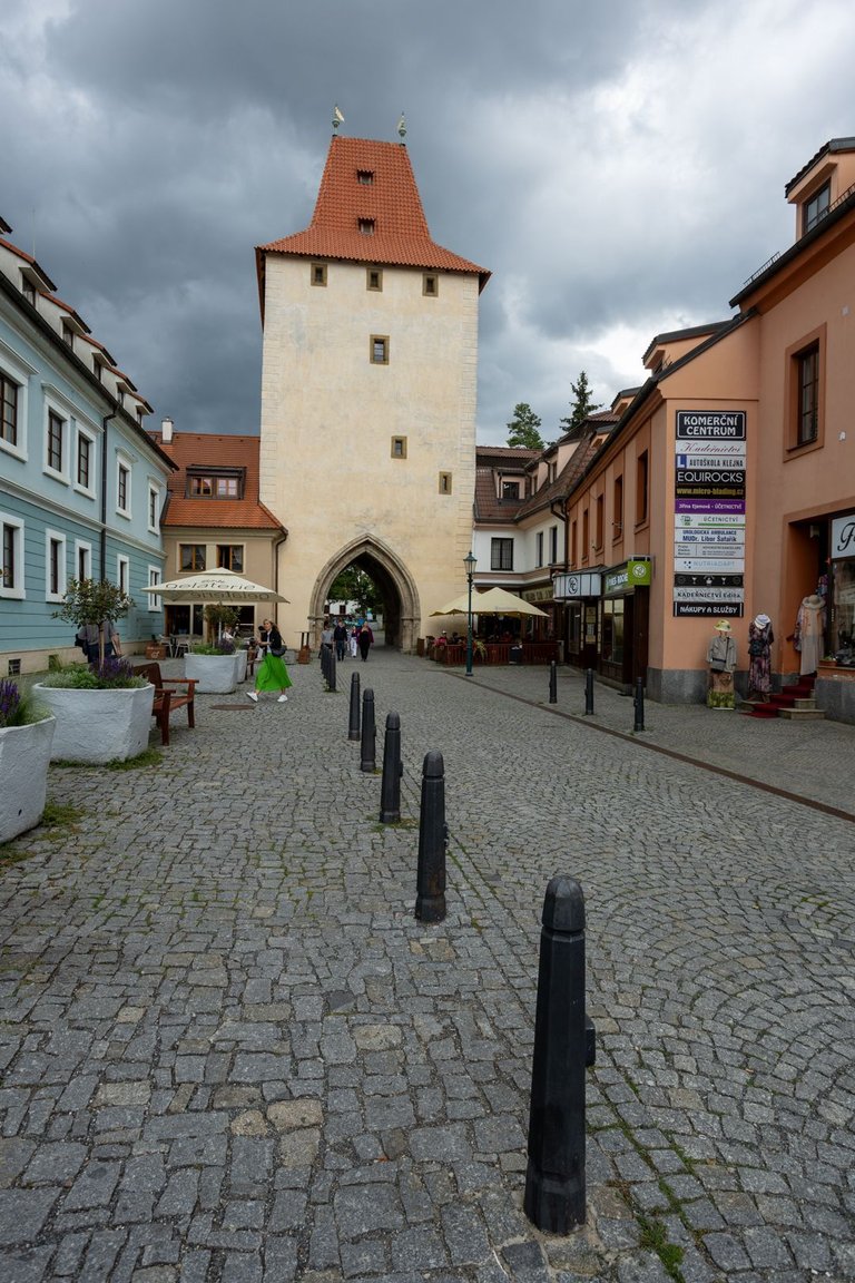
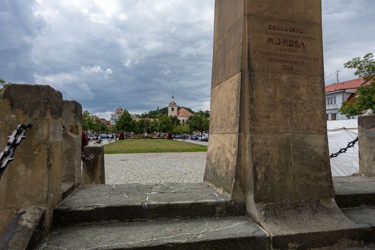
Loaded with beer, I headed towards the main square. Perhaps for the first time I didn't see a market here, so the whole center was quite empty. So it was possible to take quite a few photos here.
Zatěžkán pivem jsem vyrazil směrem k hlavnímu náměstí. Snad poprvé jsem zde nepotkal nějaký trh a tak celé centrum bylo docela prázdné. Takže se zde dalo i docela fotit.
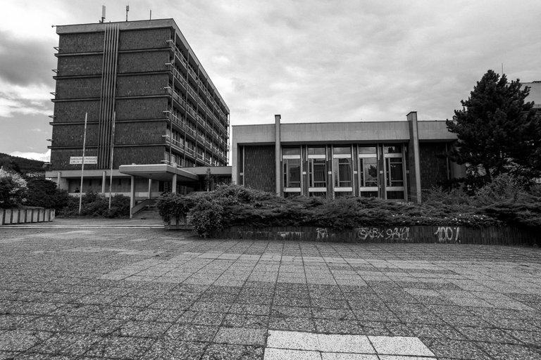
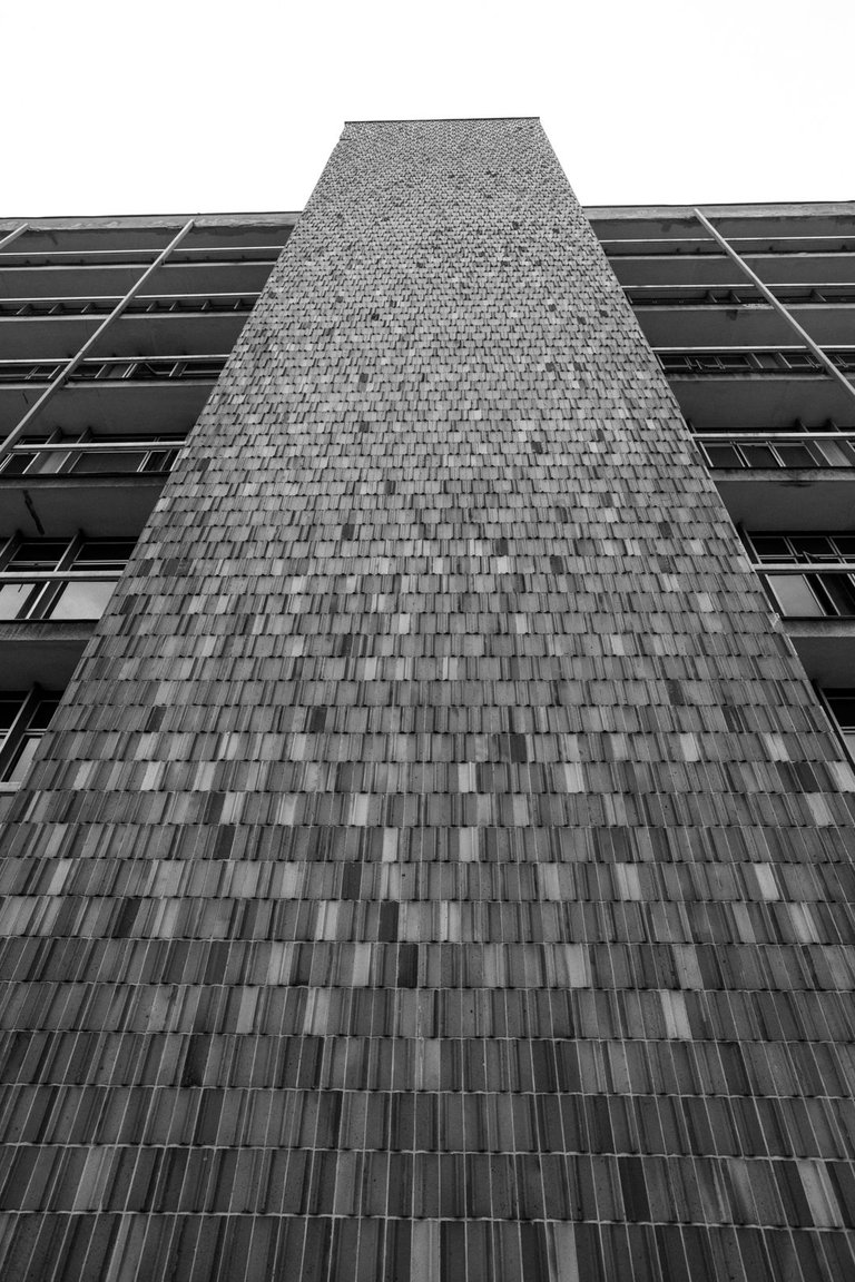
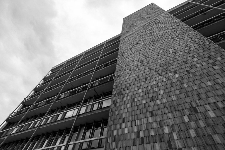
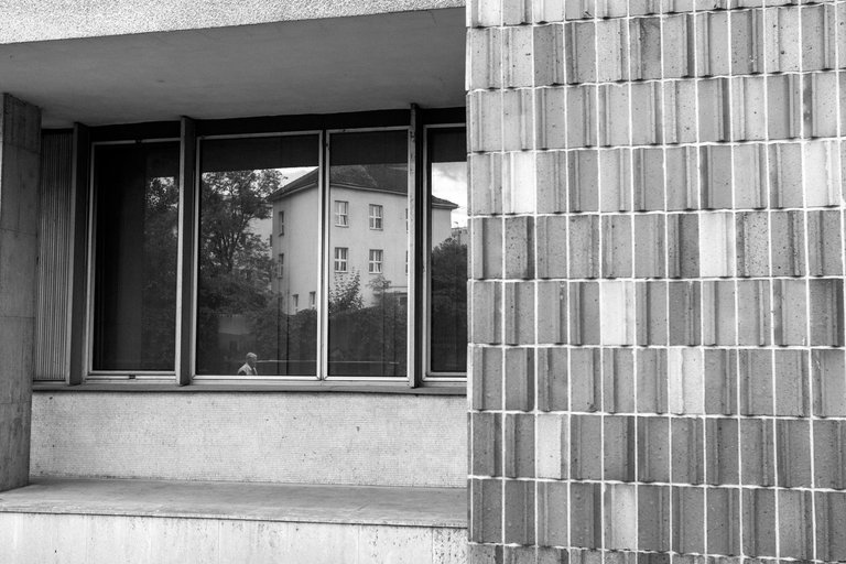
For the last few years I've had quite a weakness for buildings built during the socialist era, so I couldn't miss one of the buildings, which I've passed by several times in recent years, but the light was never right or the time wasn't right because I was in a hurry to catch a train.
Posledních pár let mám docela slabost pro stavby postavené v době socialismu a tak jsem nemohl vynechat jednu z budov, kolem které jsem několikrát v posledních letech prošel, ale světlo nikdy nebylo správné a nebo nebyl čas, protože jsem pospíchal na vlak.
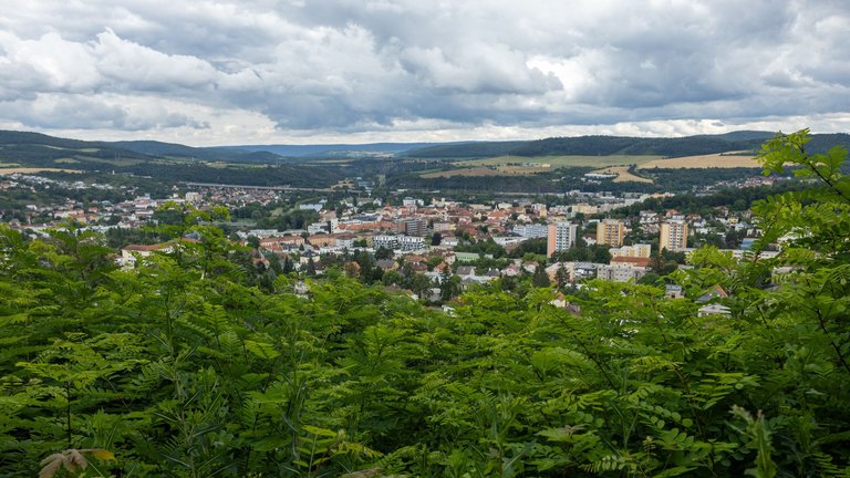
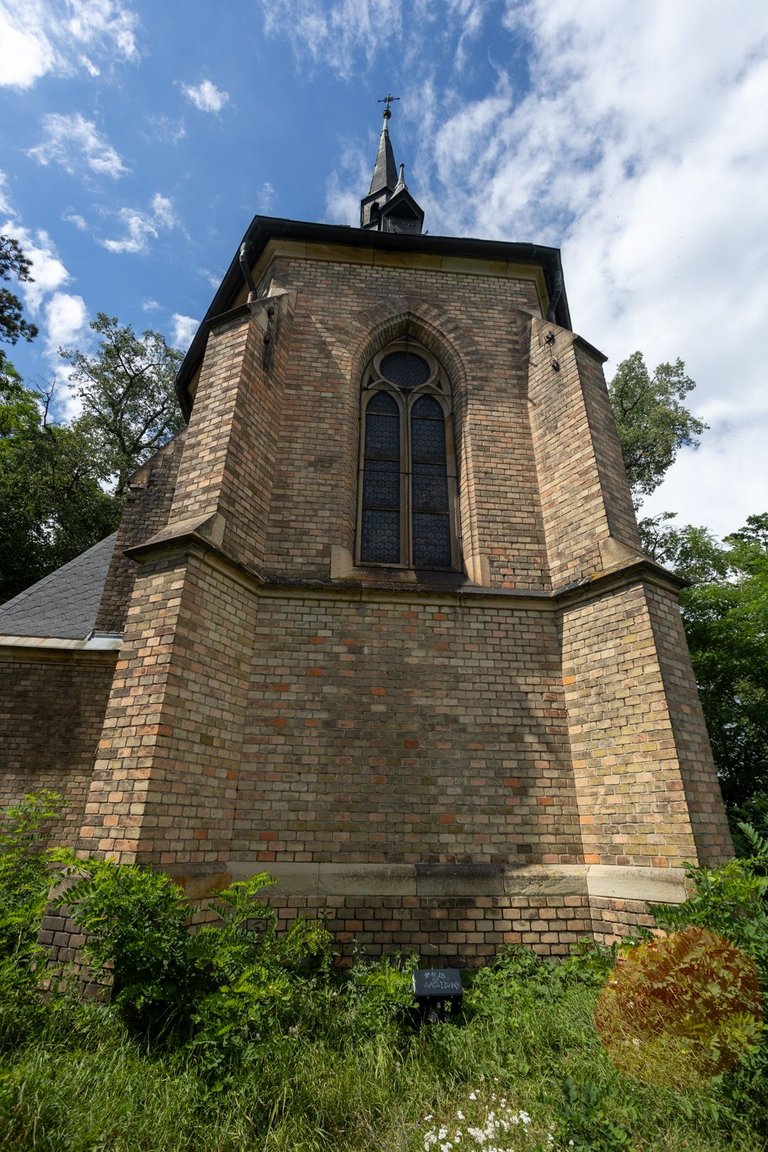
And as is my tradition. I usually have to go uphill from Beroun, and this time I didn't go on the flat ground either, but climbed steeply to the neo-Gothic church, from where there is a view of the town.
A jak již bývá mojí tradicí. Z Berouna většinou musím do kopce a ani tentokrát jsem nešel po rovině a prudce stoupal k novogotickému kostelíku. Odkud je výhled na město.
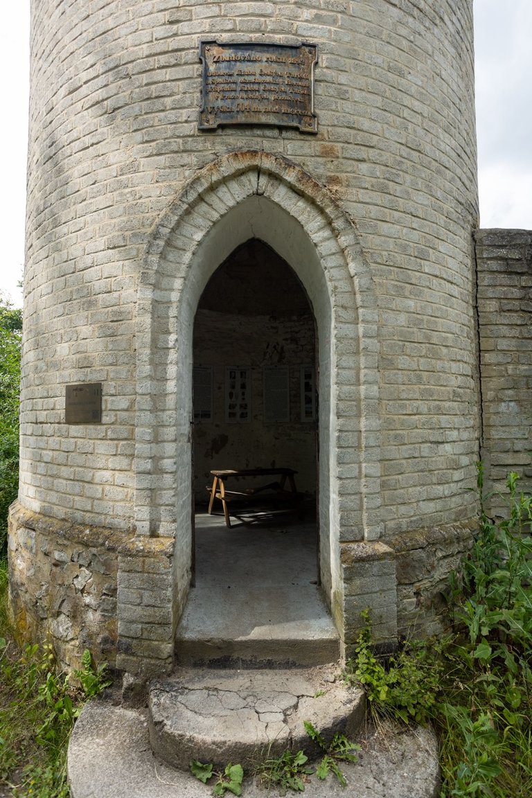
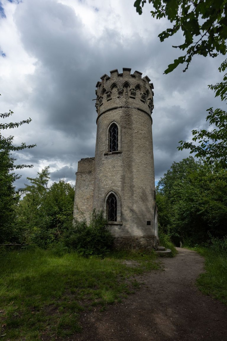
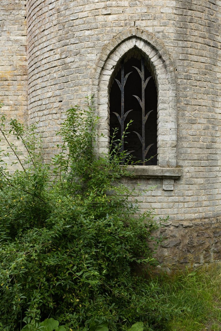
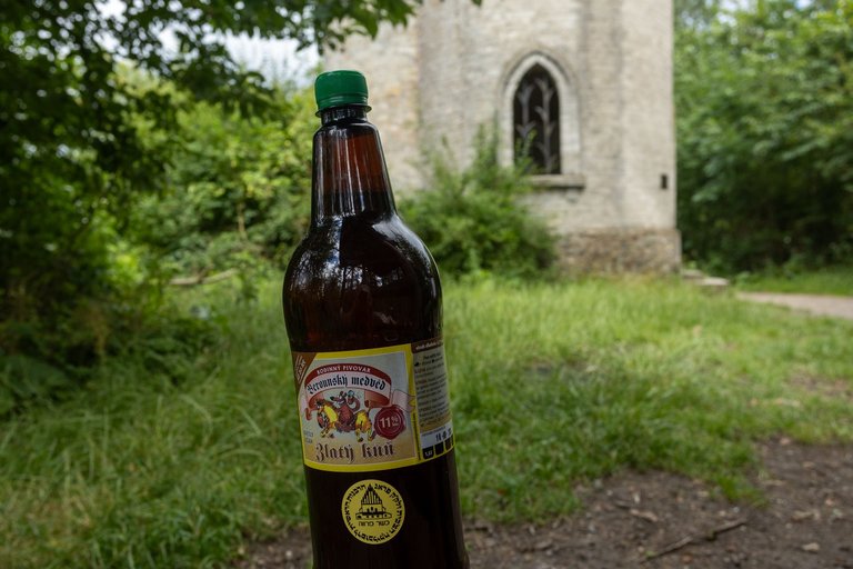
From the church I had to climb another 140 vertical meters to reach the peak of Děd (493m). There is also a lookout tower, but unfortunately it is closed due to a state of disrepair. Here I decided to rest for a while and so I opened one of the Zlatý kůň (Golden horse).
Od kostelíka jsem musel vystoupat dalších 140 výškových metrů, abych se dostal na vrchol Děd (493m). Kde je také rozhledna, ale bohužel uzavřena kvůli havarijnímu stavu. Zde jsem se rozhodl si na chvíli odpočinout a tak jsem otevřel jednoho Zlatého koně.
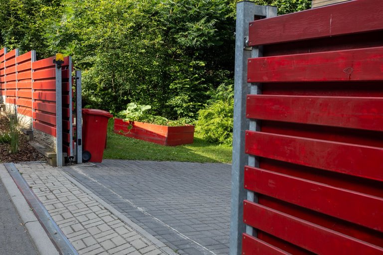
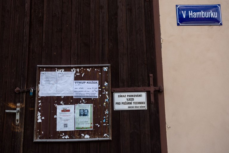
After finishing half of the beer, I set off again towards the village called Nižbor. When I arrived in the village, everything was already closed, so I immediately headed to the viewpoint above the village.
Po zdolání poloviny piva jsem se vydal opět na cestu směrem vesnice jménem Nižbor. Když jsem do vesnice dorazil všechno bylo již zavřeno a tak jsem hned zamířil na vyhlídku nad vesnicí.

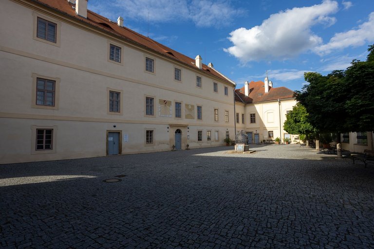
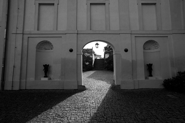
There is also a castle here, which has been closed for quite a long time and was in a state of disrepair. Although I have been here many times, it was my first time in the courtyard.
Je zde také zámek, který byl dost dlouho uzavřen a byl v havarijním stavu. Přesto, že jsem zde byl mnohokrát. Na nádvoří jsem byl poprvé.
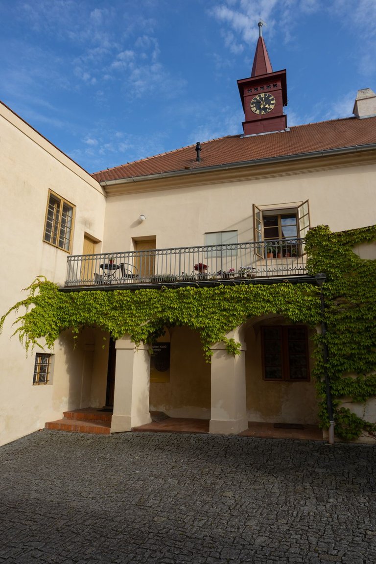
There used to be an agricultural cooperative here. Today, these spaces are used for low-income housing.
Dříve zde bývalo zemědělské družstvo. A dnes je z těchto prostor nízkopříjmové bydlení.
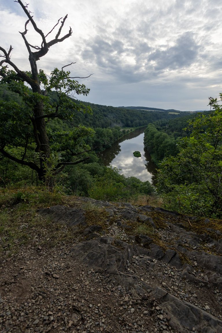
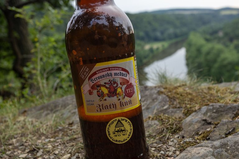
After exploring the castle, I headed to a promontory called Čerchov. Where I also planned to spend the night. There is a view of the river, a fireplace and a tourist shelter. You could say it's an ideal place for camping.
Po průzkumu zámku jsem zamířil k ostrohu jménem Čerchov. Kde jsem také plánoval přenocovat. Je zde vyhlídka na řeku, ohniště a turistický přístřešek. Dalo by se říci ideální místo na kemp.
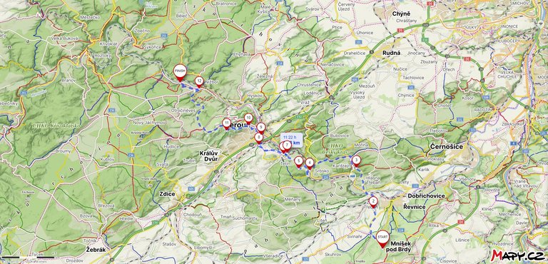
The next day I stopped at the 37.8 kilometer finish line and the elevation gain was 781 meters of climbing and 1031 meters of descending. Which means the total distance covered was exactly 60 kilometers.
Druhý den jsem zastavil na metě 37.8 kilometru a překonané převýšení činilo 781 metrů stoupání a 1031 metrů klesání. Což celková ušlá vzdálenost byla přesně 60 kilometrů.
You can check out this post and your own profile on the map. Be part of the Worldmappin Community and join our Discord Channel to get in touch with other travelers, ask questions or just be updated on our latest features.
Congratulations @softa! Your post has been a top performer on the Hive blockchain and you have been rewarded with this rare badge
You can view your badges on your board and compare yourself to others in the Ranking
If you no longer want to receive notifications, reply to this comment with the word
STOPHiya, @ybanezkim26 here, just swinging by to let you know that this post made it into our Honorable Mentions in Travel Digest #2414.
Your post has been manually curated by the @worldmappin team. If you like what we're doing, please drop by to check out all the rest of today's great posts and consider supporting other authors like yourself and us so we can keep the project going!
Become part of our travel community:
This is indeed a very beautiful place, it must have taken you some effort to capture all the beautiful shots. Thank you so much for sharing.
What a great place to walk around @softa. I love the combination of castle, landscape and city <3
Czech republik is great for hiking. You can find interesting things almost everywhere.
Is it easy to travel around there @softa?
Yes, it is very easy. Almost everevhere goes public transpost and trails have good markings.
Cool! I must go there! If its good for hikes I guess its perfect to travel with @elchapito as well 😎☀️