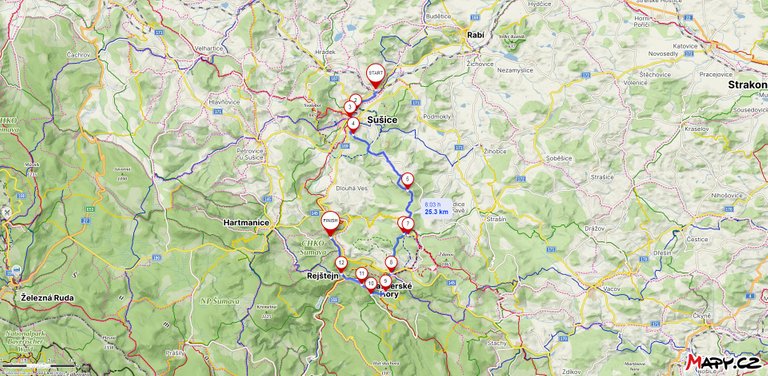
Welcome to another adventure that took place a few weeks after my trip down the E3 trail. When the body finally recovered a little, the so-called wandering shoes began to burn me. It was the end of May and it was already quite warm, so I decided to implement the plan I had in my head since the winter. When did I become interested in the area in the Czech Republic where gold is found? And the most famous place is the river Otava south of Prague on the border of Šumava. So I packed a 3d printed pan, a folding shovel and set off towards the city of Sušice.
Vítejte u dalšího dobrodružství, které se uskutečnilo pár týdnů po mém výletě po trase E3. Když se tělo konečně trochu zregenerovalo, začali mě takzvaně pálit toulavé boty. Byl konec května a tak bylo již docela teplo a tak jsem se rozhodl realizovat plán, který jsem měl v hlavě od zimy. Kdy jsem se začal zajímat o území v České republice, kde se vyskytuje zlato. A nejznámějším místem je řeka Otava na jih od Prahy na hranici Šumavy. Zabalil jsem tedy 3d vytištěnou pánev, skládací lopatu a vyrazil směr město Sušice.
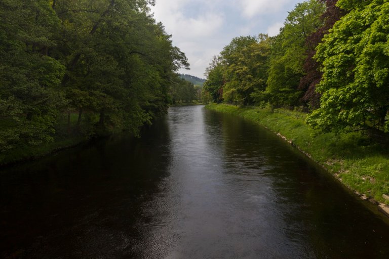
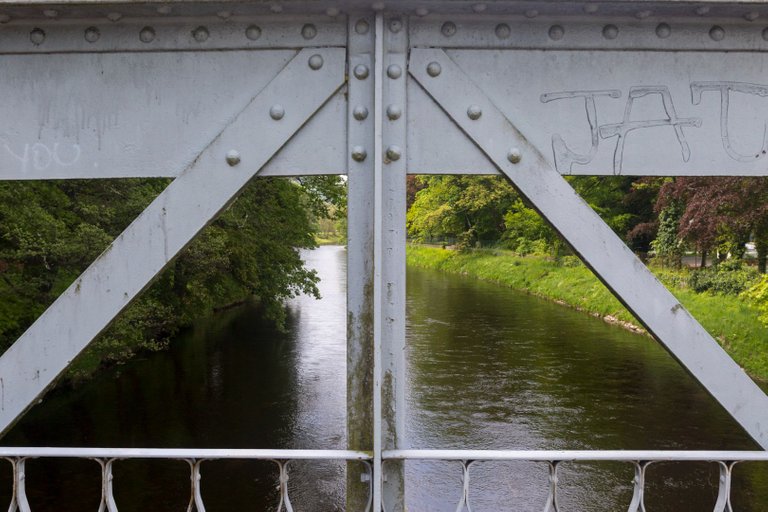
I again took a very early morning train from Prague and arrived in Sušice at 9:30 am with one transfer. The plan was to walk around the city and head to the hills above the city. So I set off from the station around the river to the city center.
Jel jsem opět velmi ranním vlakem z Prahy a s jedním přestupem jsem do Sušice dorazil v 9:30. Plán byl projít si město a vyrazit do kopců nad městem. Takže jsem vyrazil do nádraží kolem řeky do centra města.
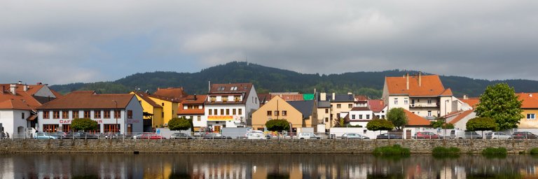
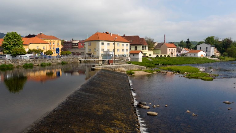
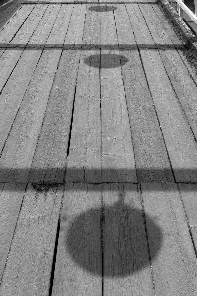
I took some photos of the embankment and across the bridge to the center. Unfortunately, there was a market and a lot of people, so I reconsidered my plan and left the visit of the square for the next day. As the plan was to go home again from Sušice.
Udělal jsem si několik fotek nábřeží a přes most do centra. Bohužel zde byl trh a velké množství lidí, tak jsem svůj plán přehodnotil a nechal návštěvu náměstí na další den. Jelikož plán byl jet domu opět ze Sušice.
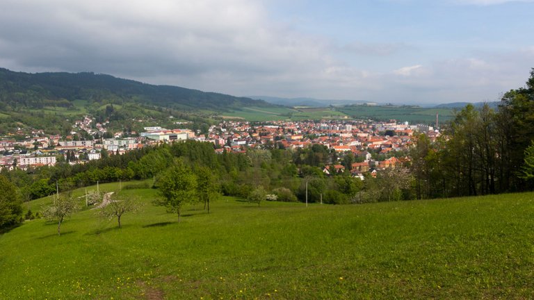
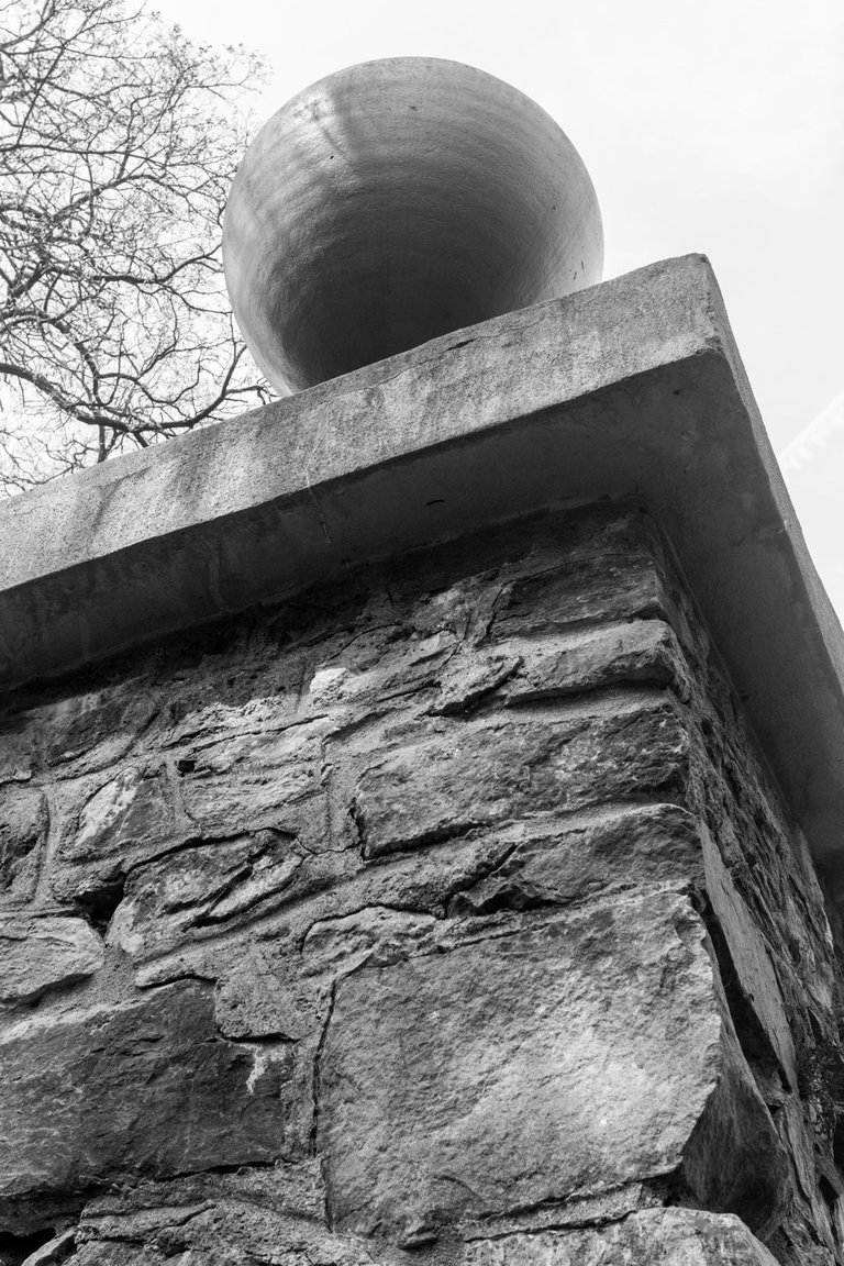
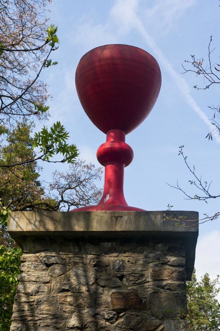
The next place on the chosen route was Žižkův vrch (591m), from where there is a view of the city, at the top there is a monument with a chalice. Which was a symbol of the rebellion of the Reformed Church against the Catholic Churche at the beginning of the 15th century. This church has many followers even today, although it achieved its greatest fame in modern history at the beginning of the 20th century, when Czechoslovakia was formed.
Dalším místem na zvolené trase byl Žižkův vrch (591m), odkud je výhled na město na vrcholu je památník s kalichem. Což byl symbol povstání reformní církve proti církvy katolické na začátku 15. století. Tato církev má spoustu následovníků i v dnešní době i když své největší slávy dosahovala v moderní historii za začátku 20. století kdy vzniklo Československo.
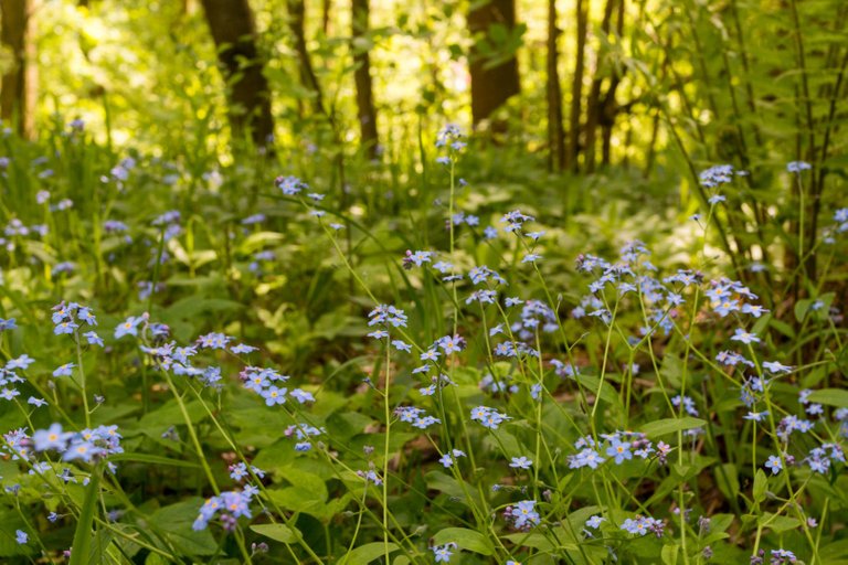
At the top of Šibeník (619m) the lower floor of the forest was covered with blue flowers and the shining sun created a fragrant summer atmosphere.
Na vrcholu Šibeník (619m) bylo spodní patro lesa porostlé modrými květy a prosvítajicí slunce vytvářelo letní voňavou atmosféru.
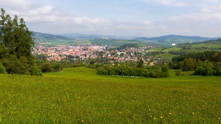
Not far beyond the summit was a meadow from which there was again a view of the city, this time with the suburbs as well.
Nedaleko za vrcholem byla louka odkud byl opět výhled na město, tentokráte i s předměstím.
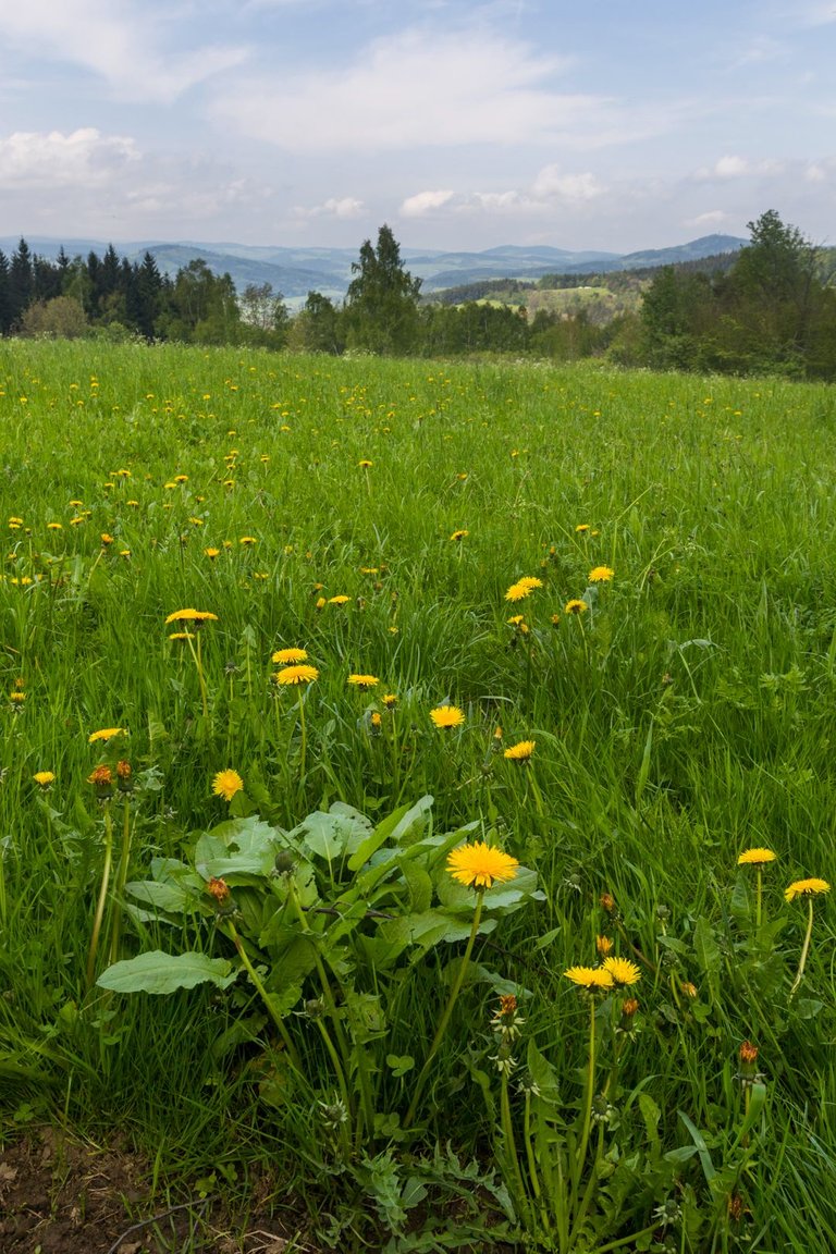
I continued following the red sign through the village of Záluží towards the village of Albrechtice. When I entered the Natural Park Kašperská vrchovina. On one of the meadows there was a view of the western part of Šumava.
Pokračoval jsem dále po červené značce přes vesnici Záluží směrem k vesnici Albrechtice. Až jsem vstoupil do Přírodního parku Kašperská vrchovina. Na jedné z luk byl výhled na západní část Šumavy.
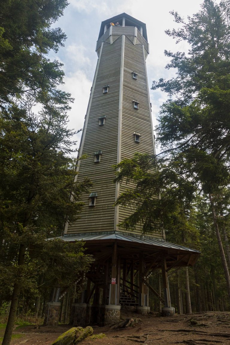
Behinde village Albrechtice, I started to climb more towards the peak of Sedlo (902m). According to the map, the route looked difficult, but in reality it was very pleasant. A gradual climb to the top where there are several very interesting places. The first is the wooden lookout tower.
Za Albrechticemi jsem začal více stoupat k vrcholu Sedlo (902m). Podle mapy cesta vypadala náročně, ale v reálu byla velmi příjemná. Pozvolné stoupání až na vrchol kde je několik velmi zajímavých míst. prvním je dřevěná Rozhledna.
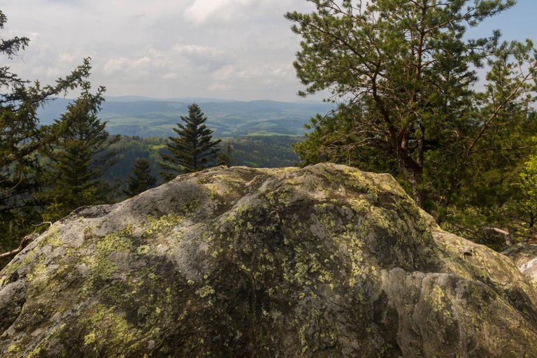
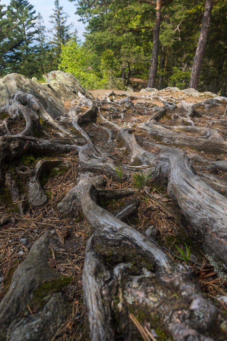
Furthermore, rock formations with views, for those who are afraid to climb the lookout tower.
Dále skalní útvary s výhledy, pro ty co se bojí vystoupit na rozhlednu.
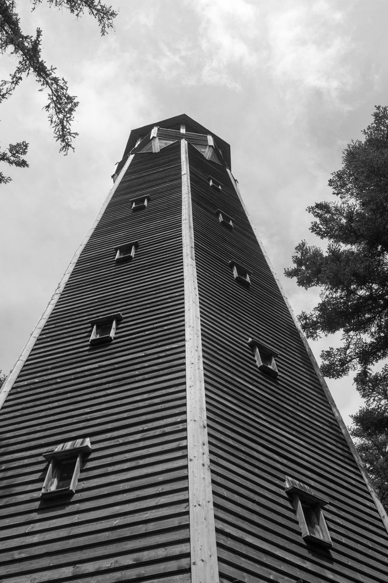
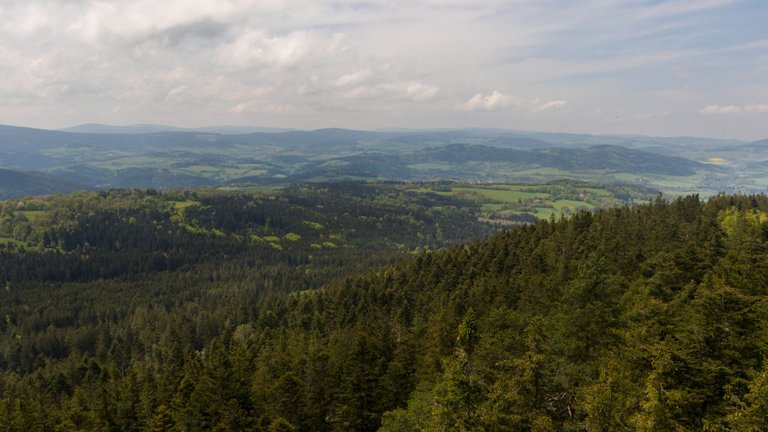

And as you know, I'm not afraid of heights. That's why I went to the top of the wooden structure. There is probably no need to comment on the views. The surrounding mountains, the weather and the castle were one of the highlights of the day.
A jak víte já se výšek tak nějak nebojím. Proto jsem se vydal na vrchol zdejší dřevěné stavby. K výhledům asi není třeba žádného komentáře. Okolní hory, počasí i hrad tvořilo jeden z vrcholů dne.
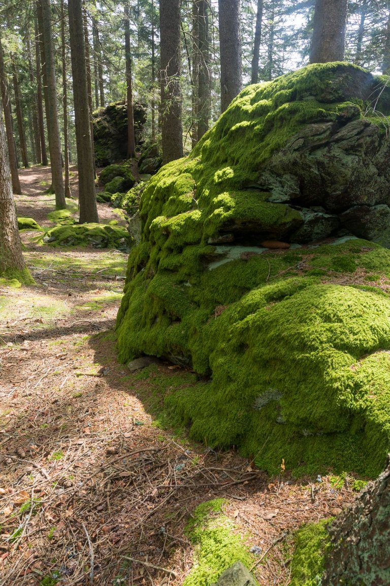
The entire top of Sedlo is a plateau, so in ancient history (the Halstat period) the top was used as a hillfort. I didn't find any remains, so I focused at least on the stones.
Celý vrchol Sedla je náhorní plošina, takže v dávné historii (doba Halštatská) byl vrchol využíván jako hradiště. Já jsem sice žádné pozůstatky nenašel a tak jsem se zaměřil alespoň na kameny.
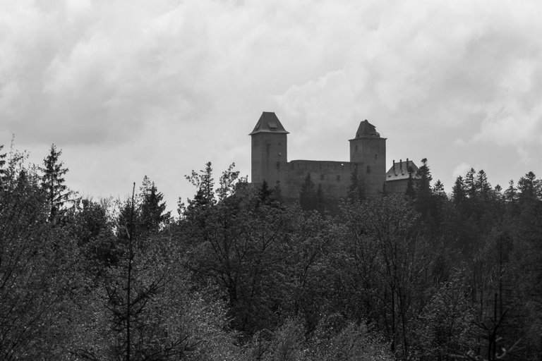
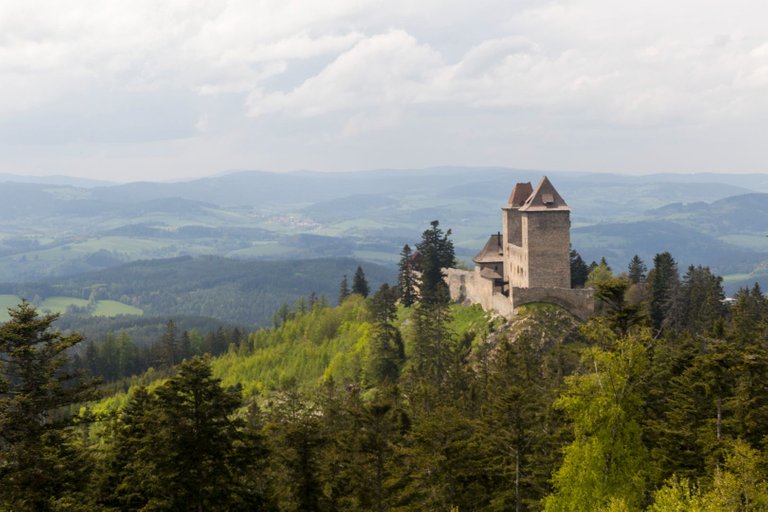
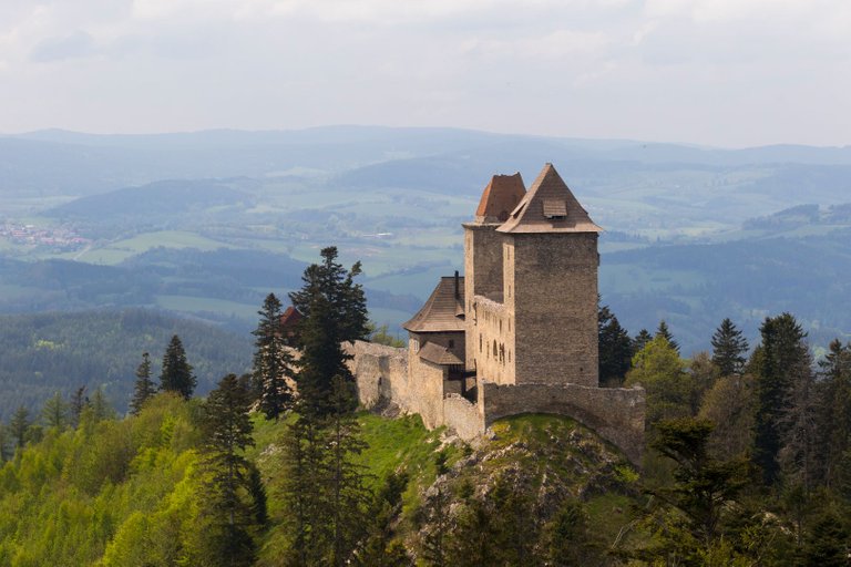
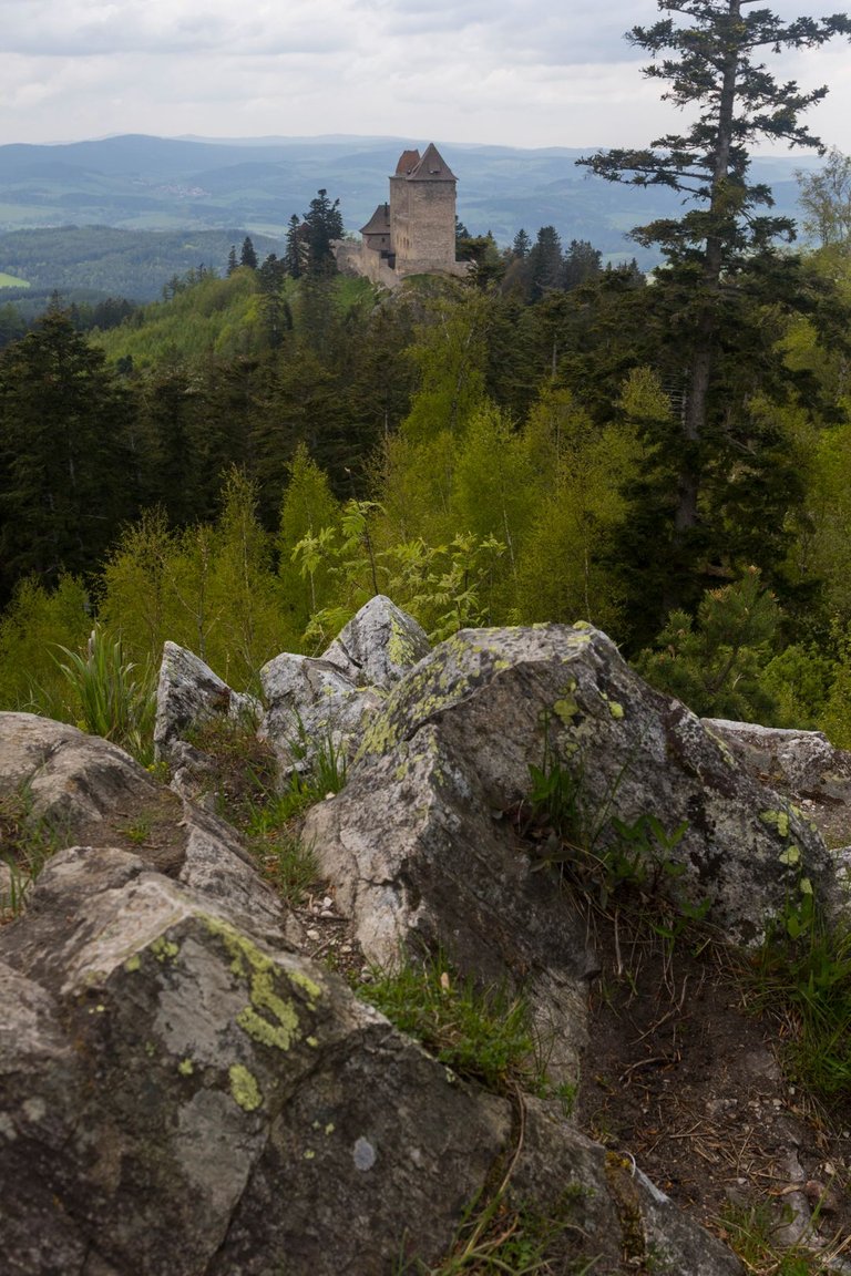
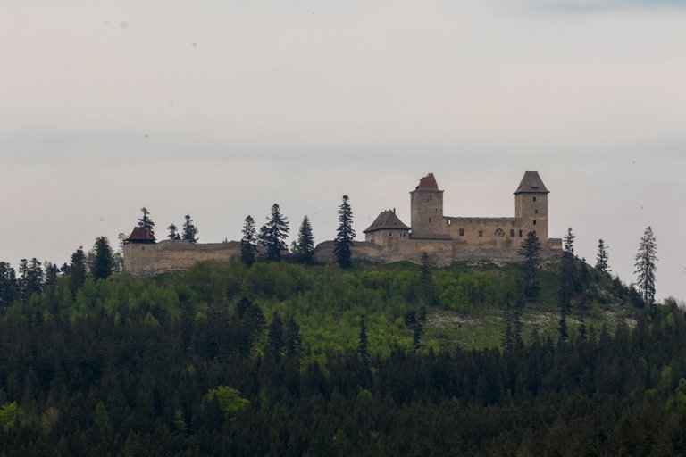
I mentioned the castle in the views from Sedlo. That's exactly what I headed for after that. This is Kašperk Castle, which used to be a royal castle that was supposed to protect the trade route from Southern Bavaria to Prague and at the same time manage gold mining. It is the highest castle in the Czech Republic and is 900 meters above sea level. And that is why it is the dominant feature of this region.
Ve výhledech ze Sedla jsem zmínil hrad. Tak právě k tomu jsem zamířil poté. Jedná se o hrad Kašperk, což býval královský hrad, který měl chránit obchodní cestu z Jižního Bavorska do Prahy a zároveň i řídit těžbu zlata. Jedná se o nejvýše položený hrad v České republice a je v nadmořské výšce 900 metrů nad mořem. A proto je dominantou tohoto kraje.
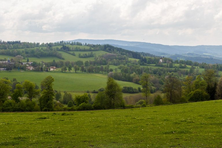
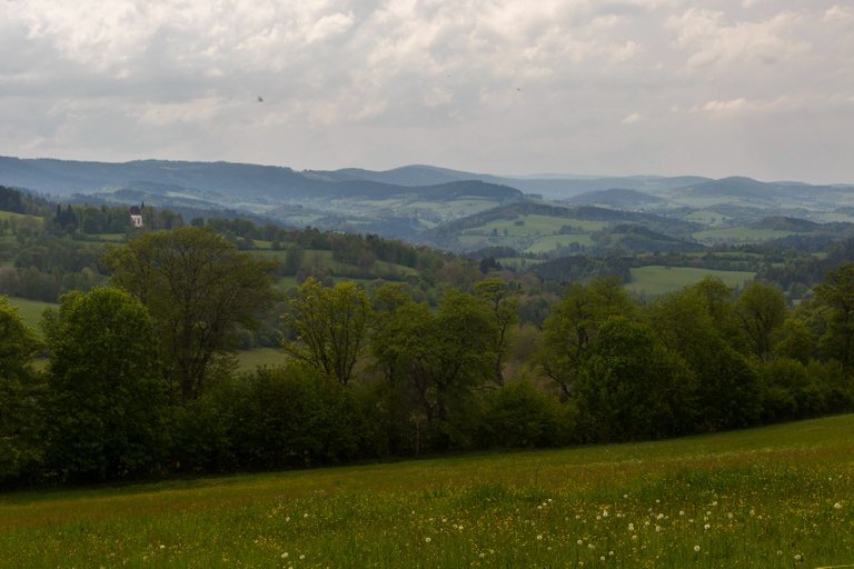
On the way to the town of Kašperské hory, I tried panning for gold in a few streams, but without success, so I had to settle for the views of the Šumava ridge.
Cestou do města Kašperské hory jsem na pár potocích vyzkoušel rýžovat zlato, ale bez úspěchu a tak jsem se musel spokojit pouze v výhledy na Šumavské hřebeny.
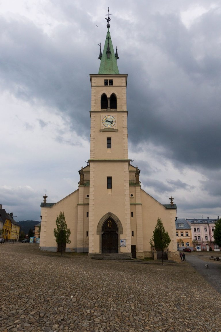
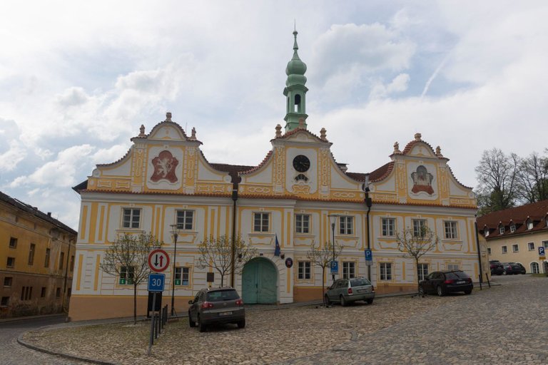
Kašperské hory was a royal city, so it was controlled directly by the king. And it was very rich precisely because of the gold mining in the area, so there are many interesting buildings. At present, it is rather alive with tourism. I had planned to eat in one of the restaurants, but everywhere was so full that I had to settle for hotdog from a stand in the middle of the square.
Kašperské hory byly královské město, tedy bylo řízeno přímo králem. A bylo velmi bohaté právě díky těžbě zlata v okolí, takže je zde mnoho zajímavých budov. V současnosti je spíše živo z turistického ruchu. Měl jsem v plánu se najíst v jedné z restaurací, ale bylo všude tak plno, že jsem se musel spokojit s párkem v rohlíku ze stánku uprostřed náměstí.
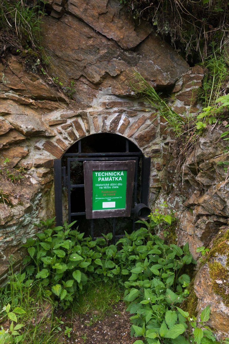
Gold was sought all over the area in just about every possible way. First panning, and then people also focused on underground mining. That is why the entire area around the city is undermined by tunnels. Can you imagine working in such conditions? The entrance was about 1 meter high. I can't imagine what it looks like further.
Zlato se těžilo po celém okolí snad všemi možnými způsoby. Nejdříve rýžování a pak se lidé zaměřili i na těžbu pod zemí. Proto je celé okolí města podkopáno tunely. Dovedete si představit pracovat v takovýchto podmínkách? Vstup byl asi 1 metr vysoký. Nedovedu si představit co jak to vypadá dále.
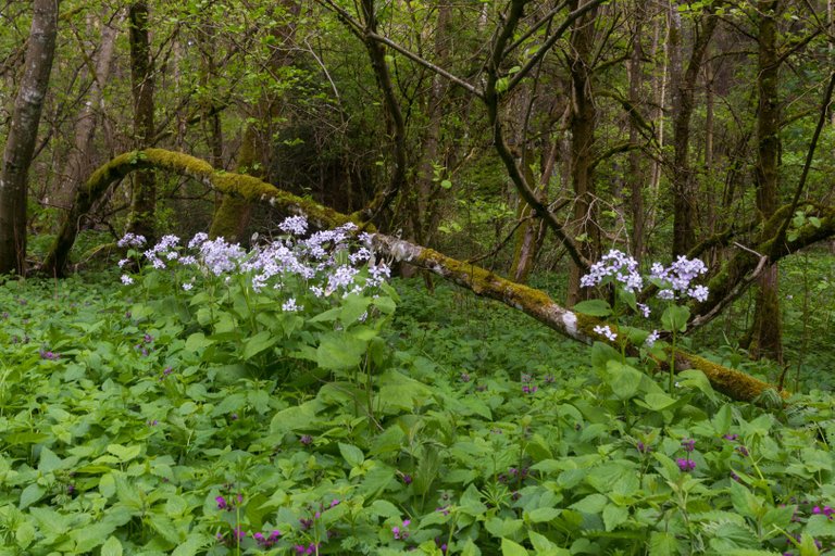
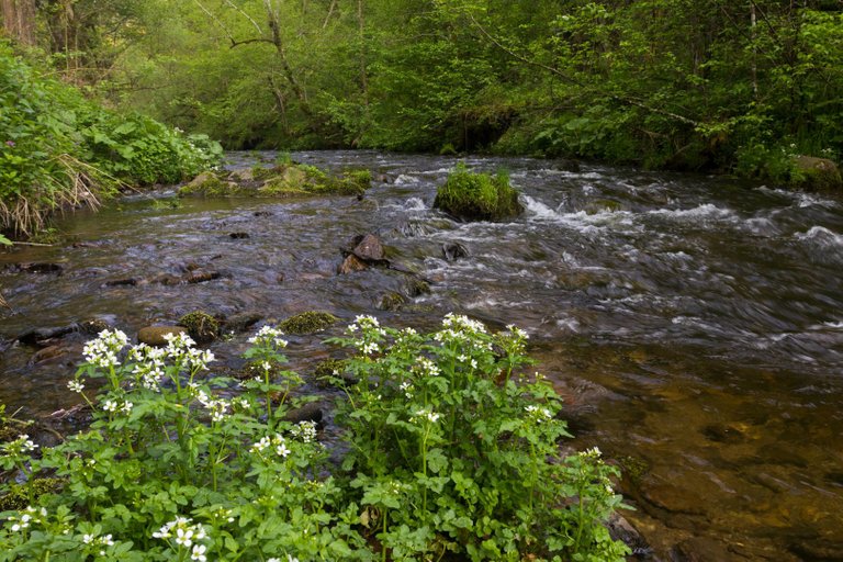
I made other panning attempts at Zlatý potok (Golden stream), but again without success. So I threw myself back into what I'm experienced in and I'm getting results. Landscape photography.
Další pokusy o rýžování jsem provedl na Zlatém potoce, ale opět bez úspěchu. Takže jsem se zase vrhl na to v čem jsem zkušený a mám výsledky. Fotografii krajiny.
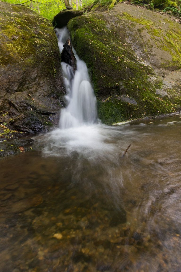
And since darkness was slowly approaching, I had to stop trying. And continue on through the villages of Rejštejn and Radešov to the place on the bank of the river Otava where I wanted to spend the night. The place was called U Mukyho. There was a small waterfall and a shelter was marked on the map.
A jelikož se pomalu blížila tma tak jsem musel nechat pokusů. A pokračovat dále přes vesnice Rejštejn, Radešov k místu na břehu řeky Otavy kde jsem chtěl přenocovat. Místo se jmenovalo u Mukyho. Byl zde malý vodopád a v mapě byl označen i přístřešek.
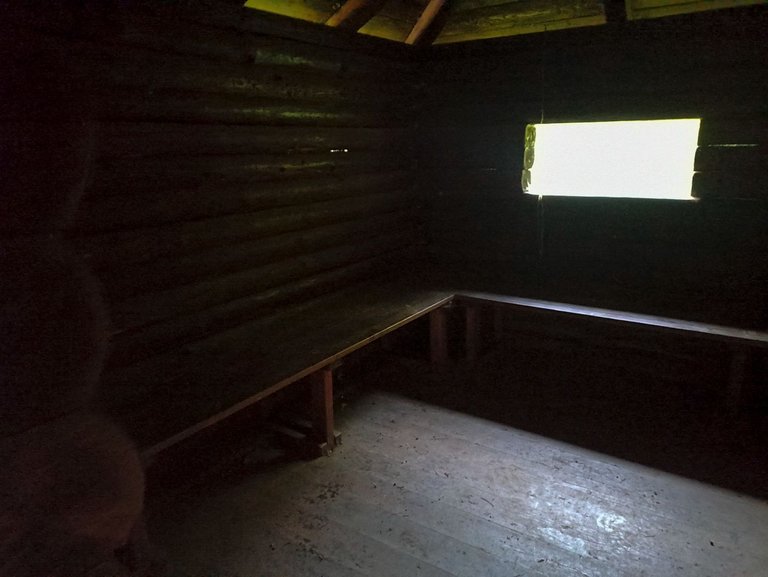
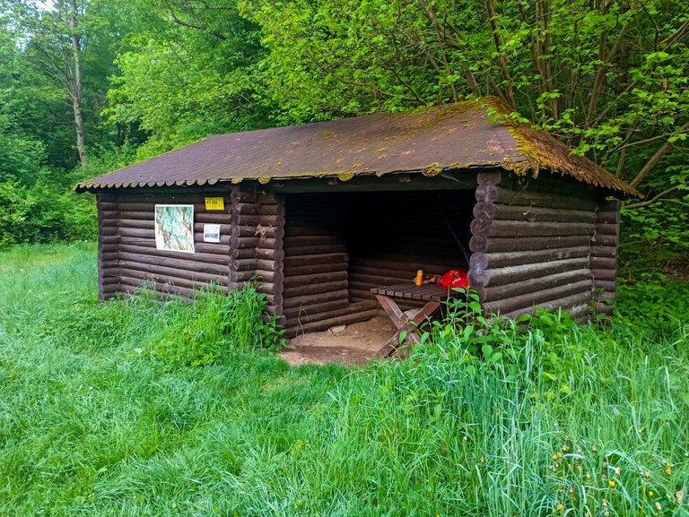
There was not only a shelter, but also a small log cabin. What more could I wish to find as a novice gold digger. Before it got dark, I tried a few more attempts in the river Otava, which is also called the Golden river. And I finally had my first success. One tiny goldplate that couldn't even be photographed and I managed to lose it. First and foremost, this trip was not about the gold, but about the process and the journey itself. That's why I thoroughly enjoyed the whole day and I still had Sunday ahead of me, but more on that next time.
Nebyl zde jen přístřešek, ale byl zde i malý srub. Co více jsem si mohl přát nalézt jako začínající zlatokop. Než se setmělo zkusil jsem ještě pár pokusů v řece otavě, které se říká zlatá řeka. A měl jsem konečně první úspěch. Jednu malinkatou zlatinku, která nešla ani vyfotografovat a navíc se mi ji podařilo ztratit. V první řadě při tomto výletě nešlo o zlato, ale o proces a cestu samotnou. Právě proto jsem si celý den náramně užil a to jsem před sebou měl ještě neděli, ale o tom zase příště.
Okolí Sušice a Kašperských hor mám projeté křížem krážem. Pěšky jsem tam však ještě nebyl. Snad se mi to podaří v září, kdy budu mít konečně dovolenou.
Rozhodně tohle místo stojí za návštěvu, je tam poschováváno spousta zajímavých míst.
To mi povídej. Kolem pár zajímavých míst jezdím a něco mám nastudované z mapy :-)
Congratulations, your post has been added to Pinmapple! 🎉🥳🍍
Did you know you have your own profile map?
And every post has their own map too!
Want to have your post on the map too?
Congratulations @softa! You have completed the following achievement on the Hive blockchain And have been rewarded with New badge(s)
Your next target is to reach 85000 upvotes.
You can view your badges on your board and compare yourself to others in the Ranking
If you no longer want to receive notifications, reply to this comment with the word
STOPCheck out our last posts:
Very nice pictures, thank you for sharing some of your experience with us ☺️
Daily Travel Digest #1955.
Become part of our travel community:
- Join our Discord
- Learn more about our travel application
Hiya, @LivingUKTaiwan here, just swinging by to let you know that this post made it into our Top 3 in Your post has been manually curated by the @pinmapple team. If you like what we're doing, please drop by to check out all the rest of today's great posts and consider supporting other authors like yourself and us so we can keep the project going!