Greetings to all travelers who came to continue my journey in the footsteps of Jan Hus from Prague to Constance. In today's episode, we will again look into history, but the majority of the trip will be spent in nature in an area called the Křivoklátská vrchovina (Křivoklát highland).
Zdravím všechny cestovatele, kteří zavítali k dalšímu pokračování mojí cesty po stopách Jana Husa z Prahy do Kostnice. V dnešním díle se opět podíváme do historie, ale převážnou část cesty strávíme v oblasti, která se jmenuje Křivoklátská vrchovina.
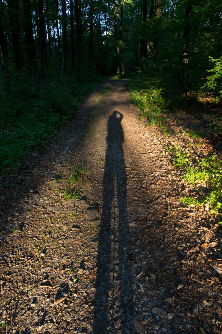
I had my alarm set just before sunrise because I slept very close to the hiking trail and didn't want to be found by some stray hiker. But that was the last time I set my alarm, because from then. I just followed natural cycles. The best alarm clock is the birds singing in the morning.
Budík jsem měl nastavený těsně před východ slunce, protože jsem spal velmi blízko turistické stezky. A nechtěl jsem abych byl nalezen, nějakým zatoulaným turistou. To bylo naposledy kdy jsem si budík nastavoval, protože od této doby jsem se řídil jen přirodními cykly. Stejně nejlepší budík je ranní zpěv ptáků.
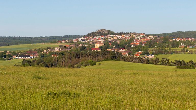
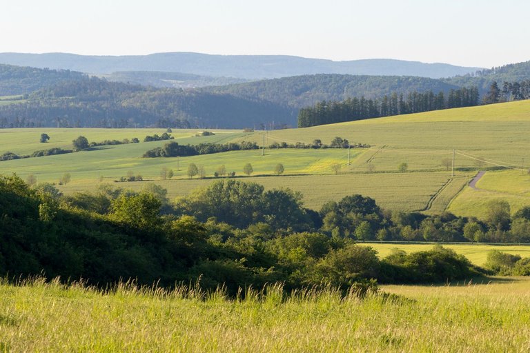
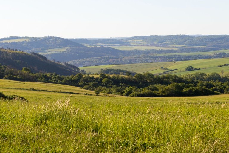
I packed up very quickly and hit the road without breakfast. I had planned eat near the village of Hudlice. I knew from a previous visit to this region that there is a bench under a tree with a wonderful view of the landscape, where I could bask in the morning sun.
Velmi rychle jsem se sbalil a vyrazil na cestu bez snídaně. Tu jsem měl v plánu nedaleko vesnice Hudlice. Z minulé návštevy tohoto kraje jsem věděl, že je zde lavička pod stromem s nádherným výhledem do krajiny, kde jsem se mohl slunit v ranním slunci.
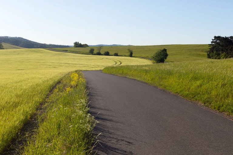
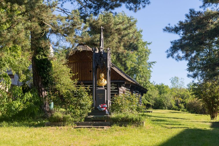
After breakfast and recharged by the sun, I continued to Hudlice. This village was the birthplace of Josef Jungman. Which was one of the creators of the modern Czech language at the time of the National Revival.
Po snídani a nabit sluncem jsem pokračoval do Hudlic. Tato vesnice je rodištěm Josefa Jungmana. Což byl jeden z tvůrců moderního českého jazyka v době Národního obrození.
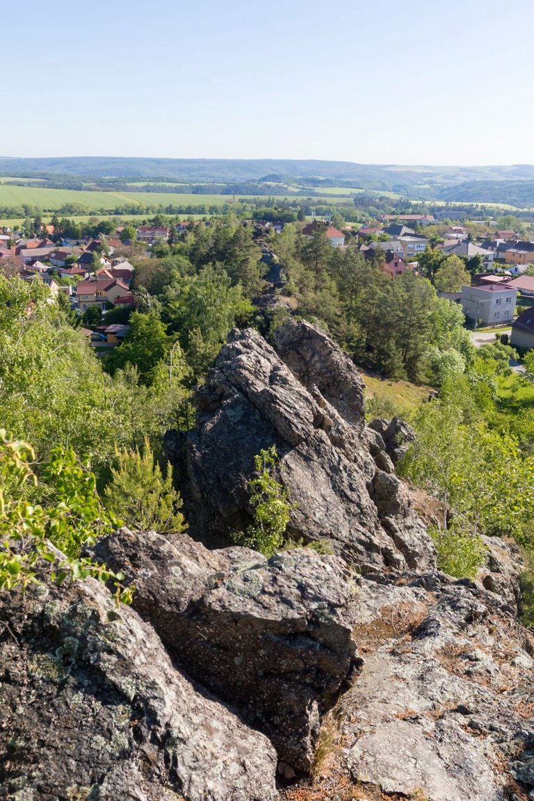
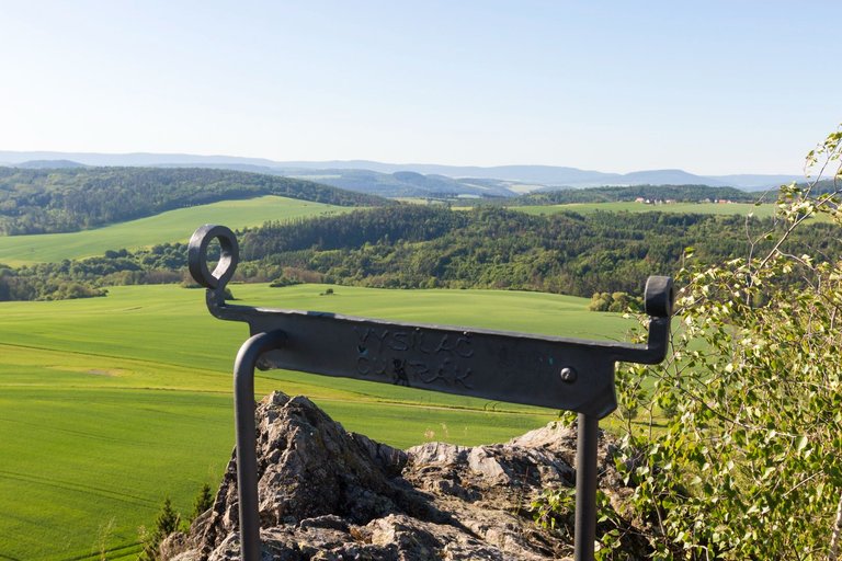
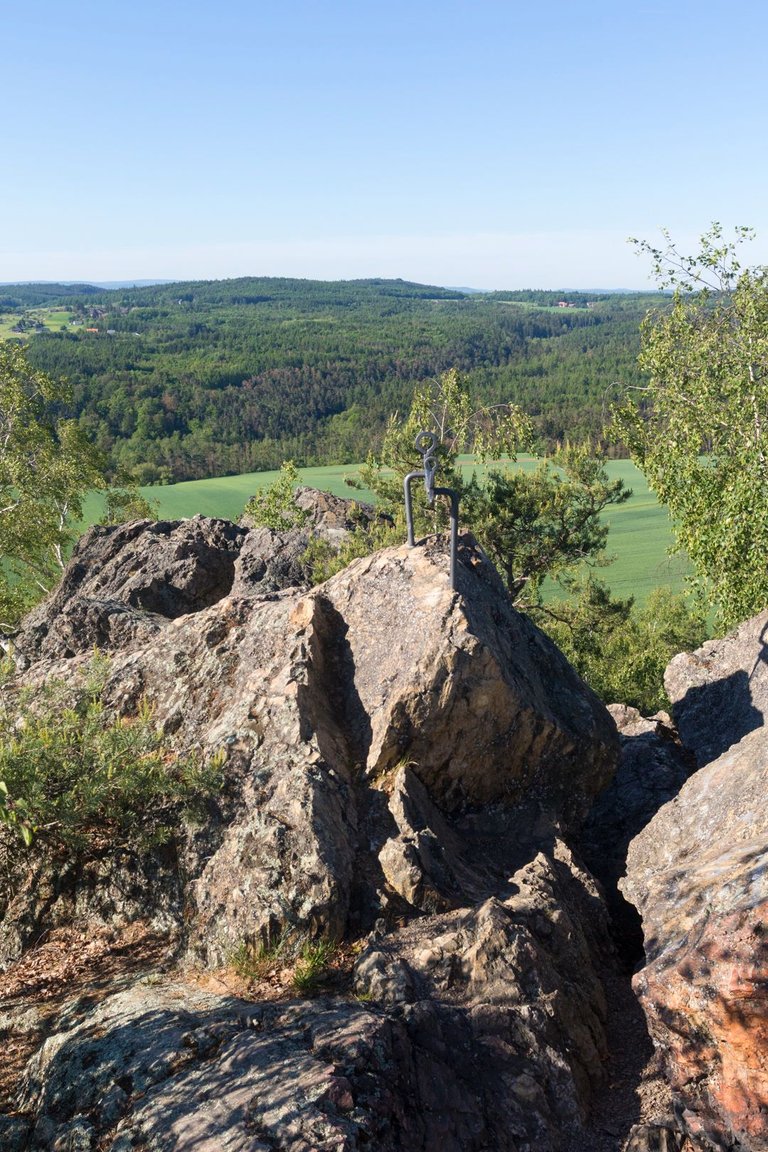
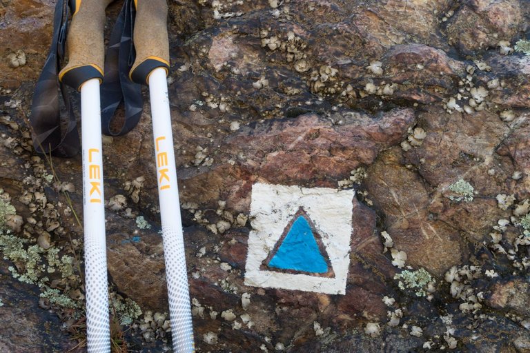
Towering over the village is a rock formation from which I was driven away by an approaching storm in last trip here. This time I had more time to view the surroundings in more detailed way.
Nad vesnicí se tyčí skalní útvar, ze kterého jsem byl minule vyhnán pryč blížící se bouřkou. Tentokráte jsem měl více času si prohlédnout okolí více podrobně.
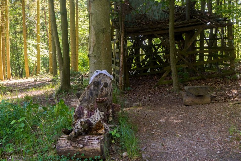
After exploring the surroundings, I continued through the forest towards the village of Svatá. When I saw this strange place in the middle of the forest. Walking this way in the dark won't leave me alone. Again, it was the work of a folk artist, as in the case of the rosemary in the center of Prague from the first article.
Potom co jsem se vynadíval do okolí. Pokračoval jsem přes les směrem k vesnici Svatá. Když jsem uprostřed lesa uviděl toto divné místo. Jít tudy za tmy tak mě to nenechá klidným. Opět se jednalo o dílo nějakého lidového umělce. Jako v případě rozmarýnu v centru Prahy z prvního článku.
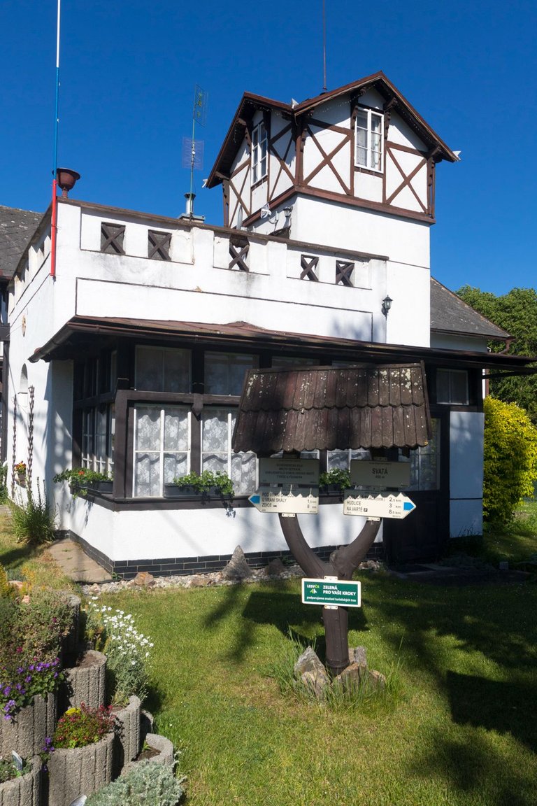
In Svatá, I passed by this villa, which was visited by the founders of the Česká obce sokolská (Sokol - Czech community of Sokol). Which was an organization specializing in physical education and to this day, even after 150 years, it is the sports organization with the largest number of members in the Czech Republic.
Ve Svaté jsem prošel kolem této vily, která byla navštevována zakladateli České obce sokolské. Což je organizace specializující se na tělovýchovu a dodnes i po 150 letech je to sportovní organizace s největším počtem členů v České republice.
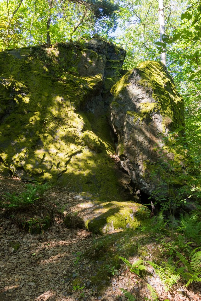
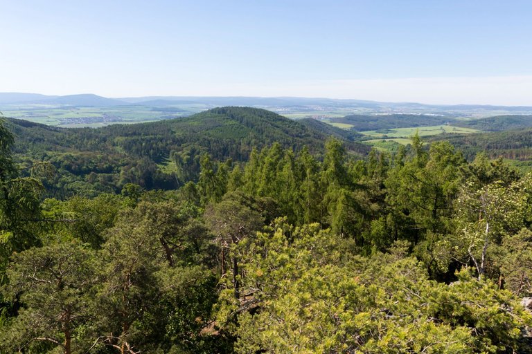
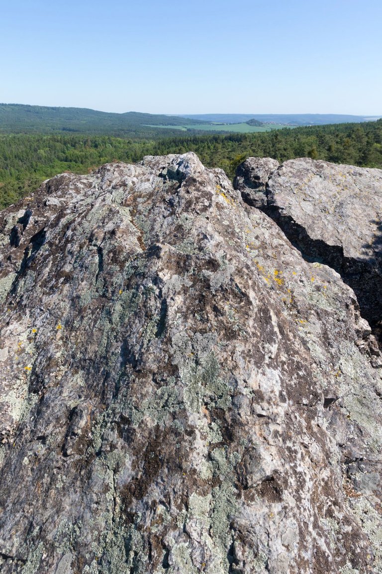
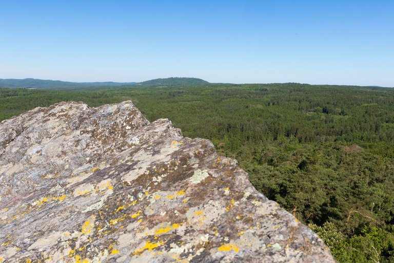
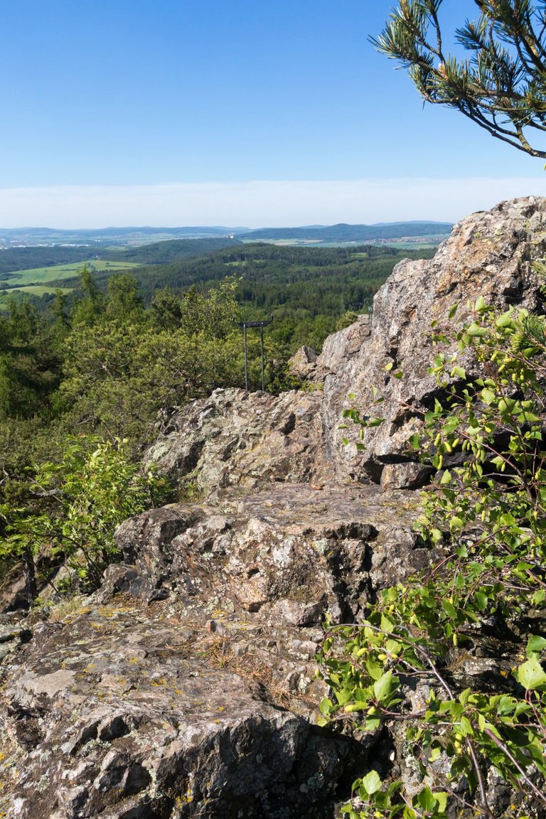
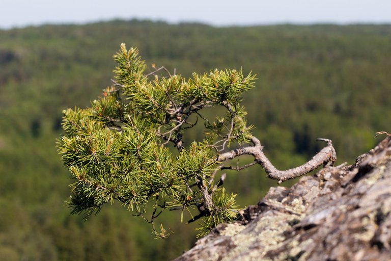
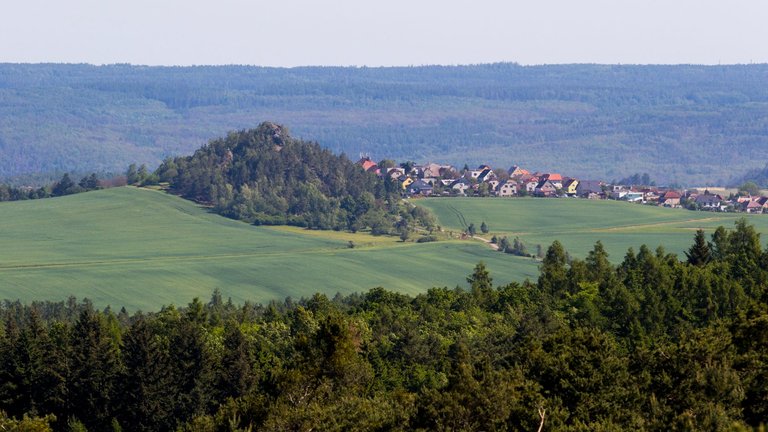
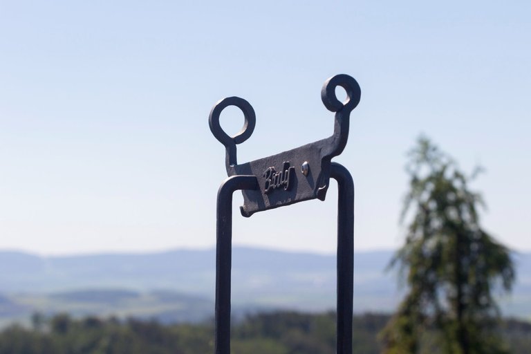
Not far in the woods from the village of Svatá there is another rock formation Vraní skála (536m). From where there is an even better view of the Křivoklát highlands, including the Hudlice rock. The area around the rock is a natural monument, because the rock is made of a stone called Buližník. In addition, there are several plants that are not commonly found elsewhere. Such as alpine currant (Ribes alpinum).
Nedaleko v lesích od obce Svatá se nachází další skalní útvar. Vraní skála (536m). Odkud je ještě lepší výhled do Křivoklátské vrchoviny, včetně Hudlické skály. Okolí skály je přírodní památkou, protože skála je z kamene, kterému se říká Buližník. Navíc se zde vyskytuje několik rostlin, které jinde bězně nenajdete. Jako je třeba Rybíz alpínský (Ribes alpinum).
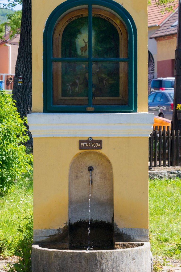
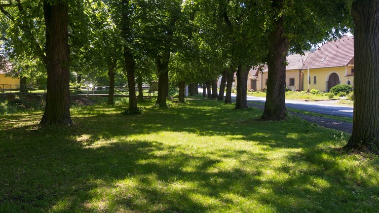
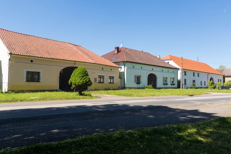
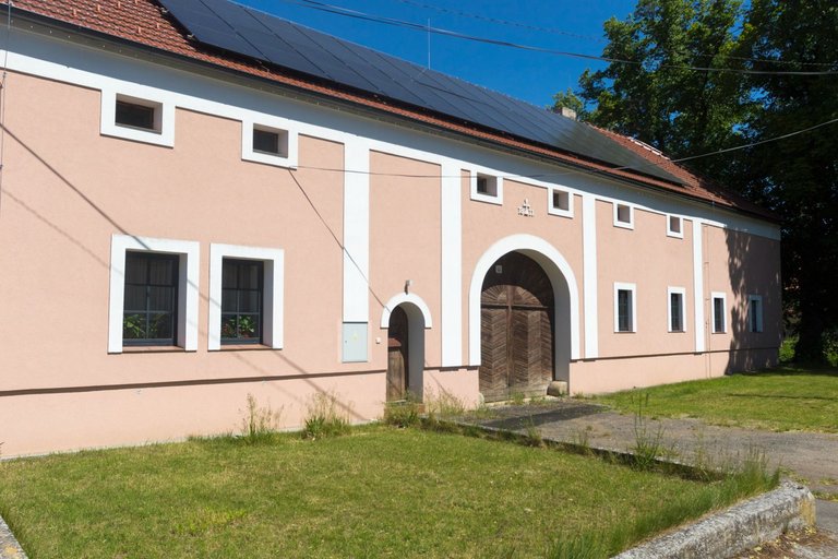
It is about 3 kilometers from Vraní skála to the village of Hředle. Where I replenished the water supply in the local well and sat for a while in the center of the village, where I could enjoy the architecture typical of this region.
Od Vraní skály je to asi 3 kilometry do vesnice Hředle. Kde jsem doplnil zásoby vody v místní studánce a chvíli poseděl v centru obce, kde jsem si mohl prohládnou architekturu typickou pro tento region.
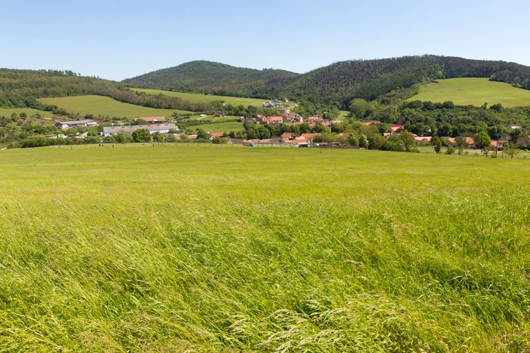
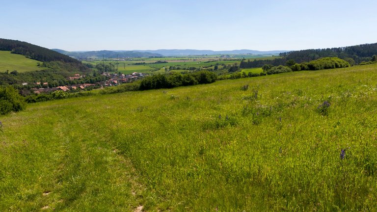
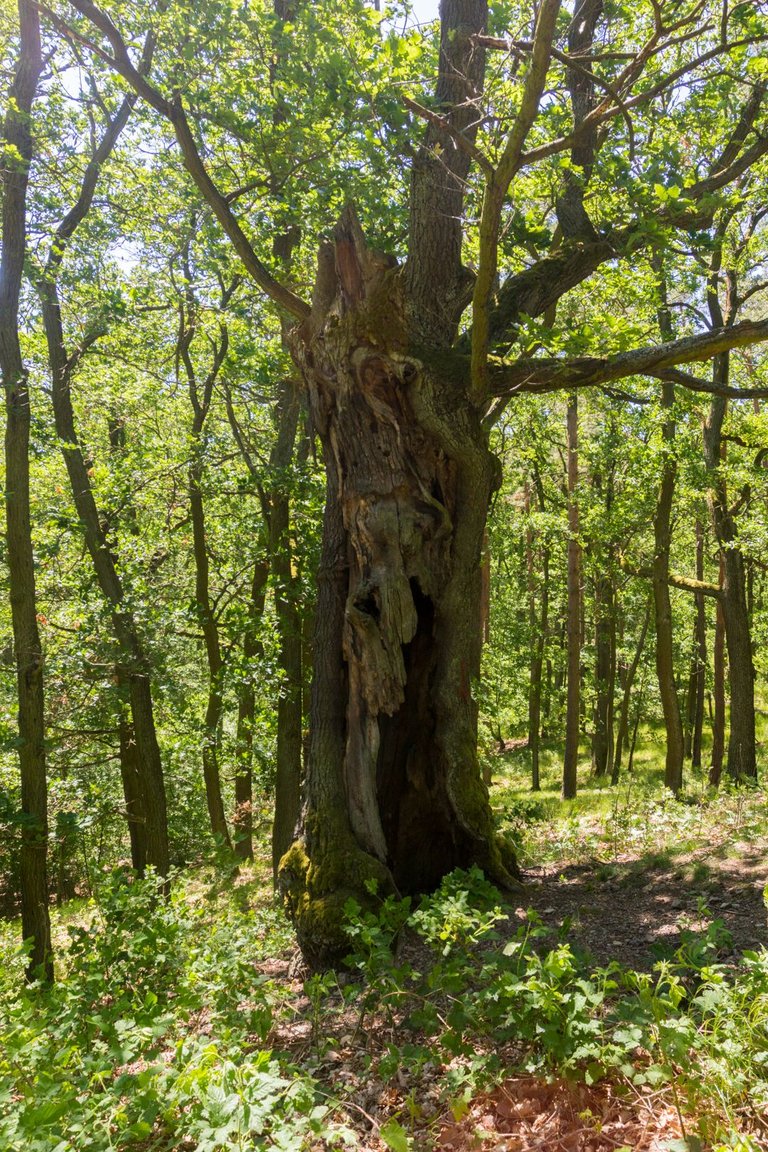
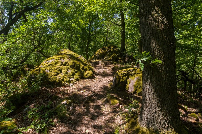
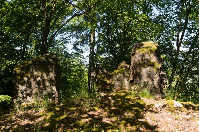
From the village I started to climb the ridge whose highest peak is called Zámecký vrch (452m). And here I passed through an oak forest, where in some places the width of the ridge was only as wide as a path.
Z vesnice jsem začal stoupat na hřeben, jehož nejvyšší vrchol se jmenuje Zámecký vrch (452m). A zde jsem prošel dubovým lesem, kde místy šířka hřebene byla široká pouze na cestičku.
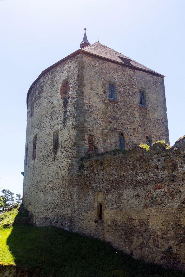
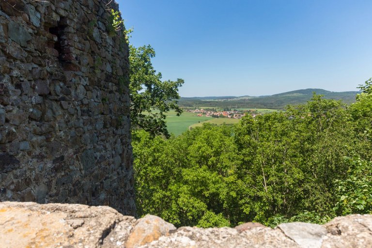
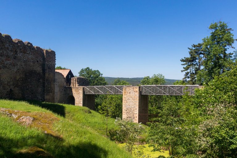
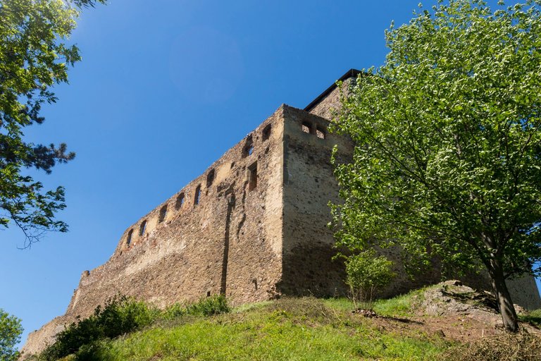
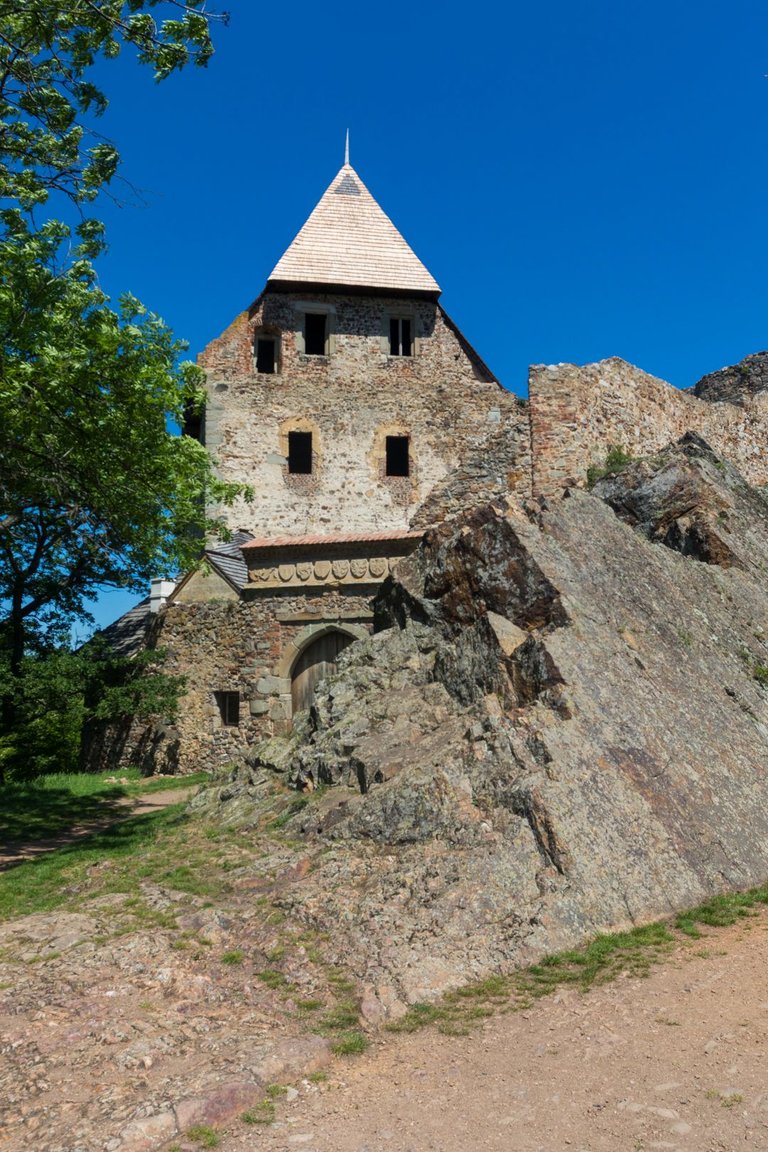
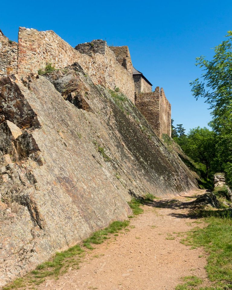
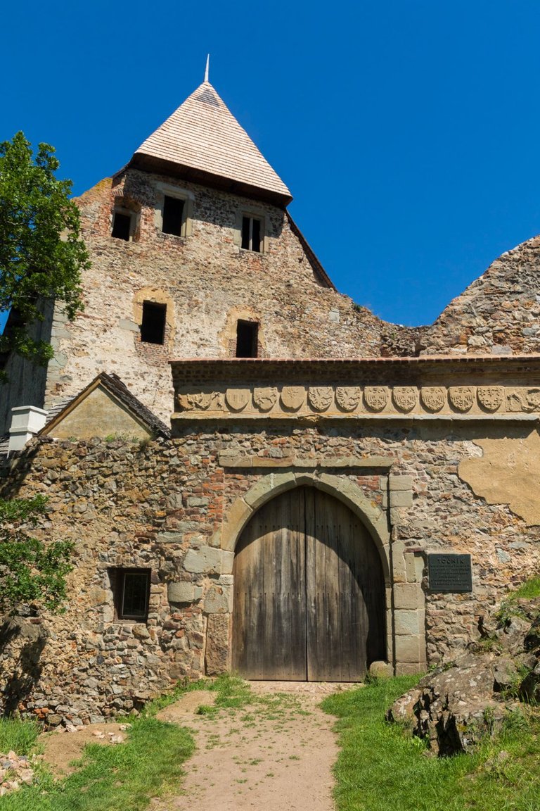
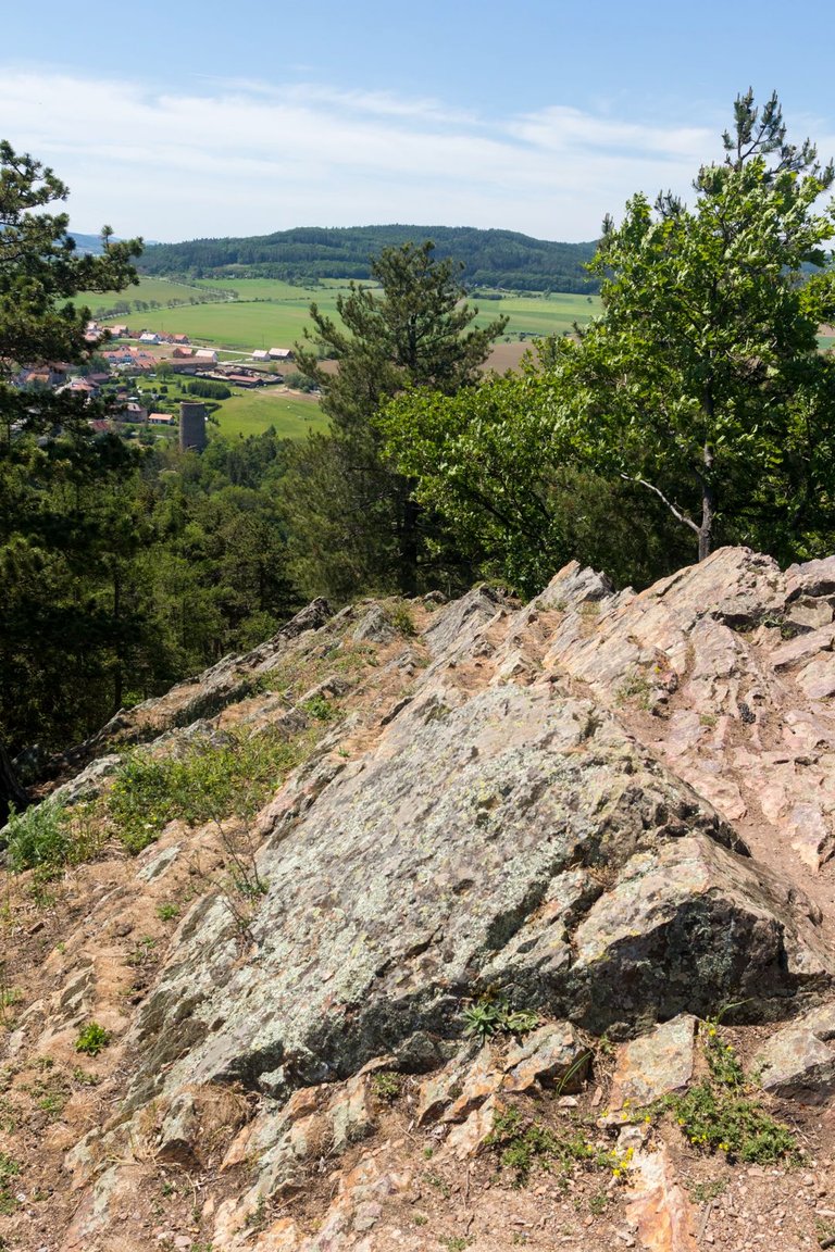
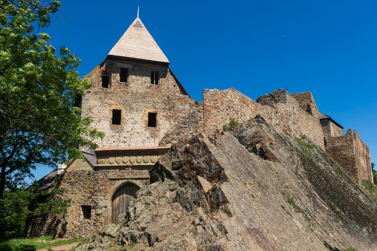
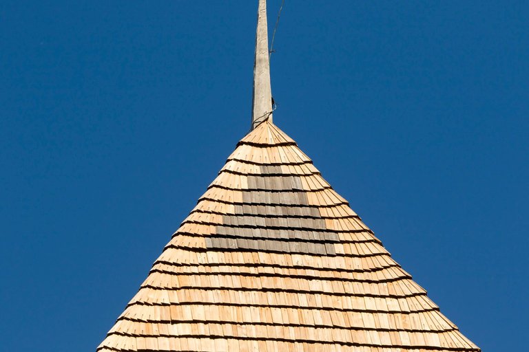
Točník castle is located in the places where the ridge ends. There is also a view of another medieval castle called Žebrák. Točník Castle was built in 1395-1398 by Czech King Wenceslas IV and in 1425 it successfully resisted a siege.
V místech kde hřeben končí se nachází hrad Točník. Odkud je také výhled na další středověký hrad, který se jmenujě Žebrák. Hrad točník byl postaven v letech 1395-1398 králem Václavem IV a v roce 1425 úspěšně odolal obléhání.
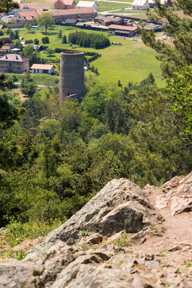
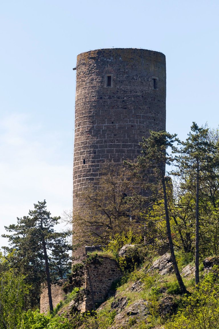
Žebrák Castle is older than its counterpart on the hill. Dates from the period after 1250, and after 1336, when John of Luxembourg acquired it, it became a royal castle.
Hrad Žebrák je starší než jeho kolega na kopci a pochází z období po roce 1250. Po roce 1336 kdy jej získal Jan Lucemburský se stal hradem královským.
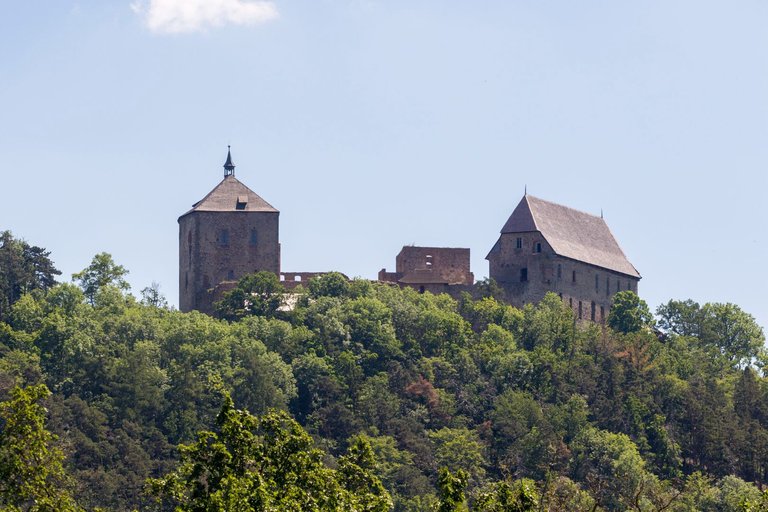
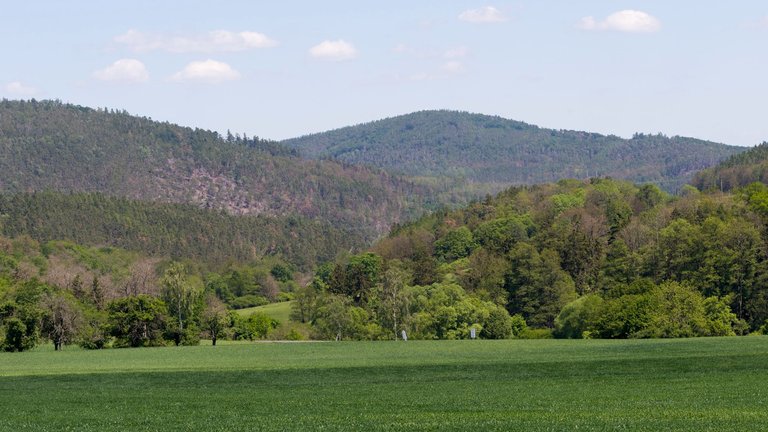
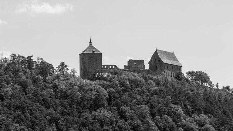
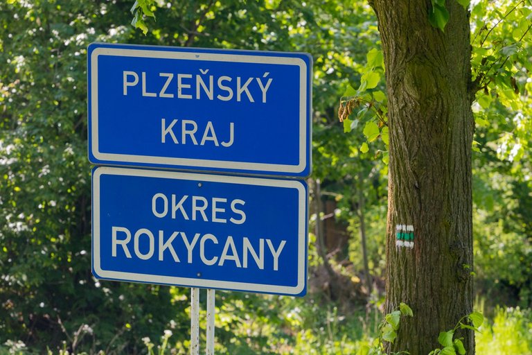
With the last glimpses of Točník castle, I continued to the village of Březová. From where I went through the woods to the peak bearing the name Hřebeny (542m). Where I left the Central Bohemian Region and entered the Pilsen Region.
S posledními pohledy na hrad Točník jsem pokračoval k vesnici Březová. Odkud jsem šel přes lesy k vrcholu nesoucí název Hřebeny (542m). Kde jsem opustil Středočeský kraj a vstoupil do kraje Plzeňského.
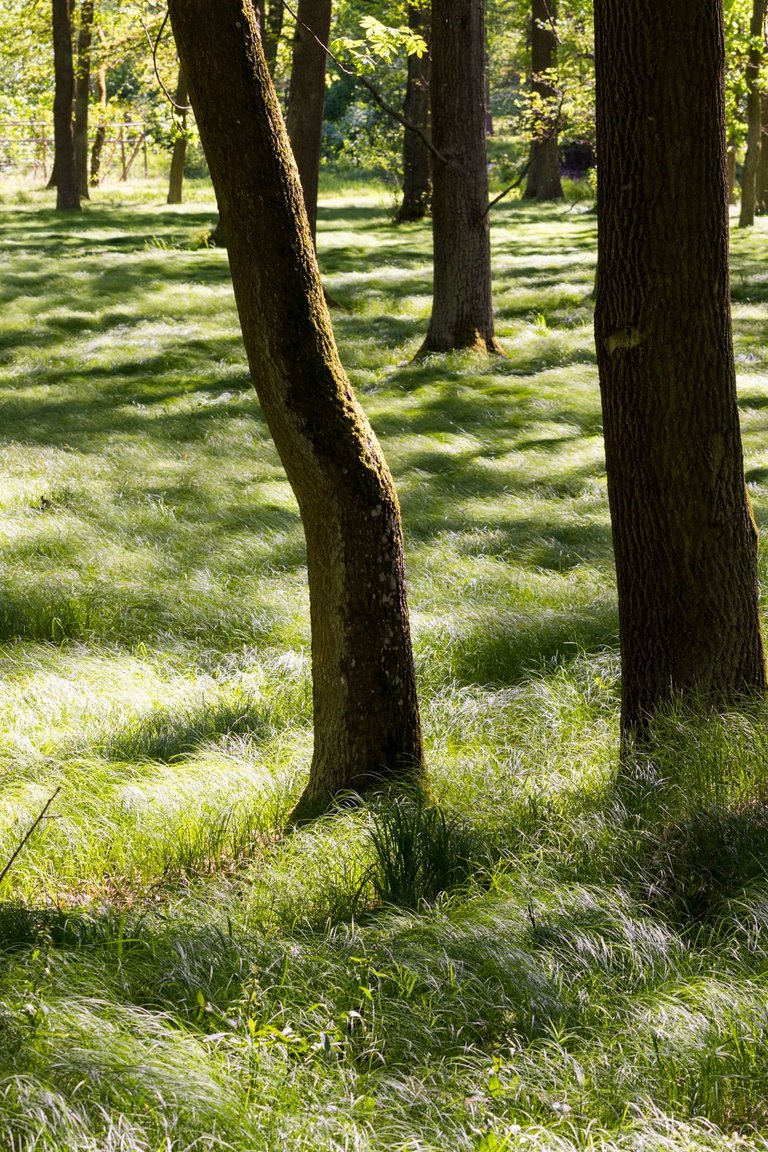
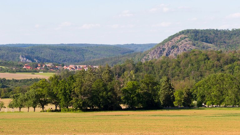
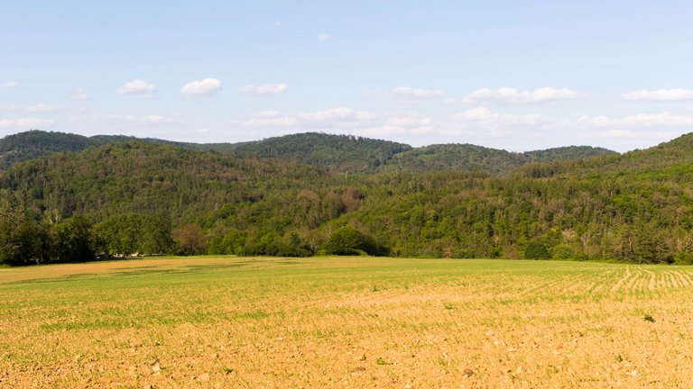
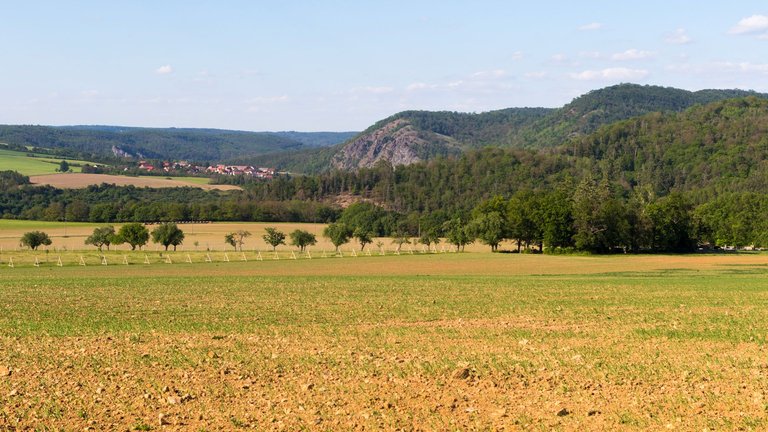
After that, long journeys through the woods awaited me. Until I came out in place from where I could look into the valley of the Berounka river. While I was walking through the woods, a fairly strong wind started blowing. So I slowly started planning where it would be safe to spend the night. One of the possibilities was the valley where Skryjská jezírka is located. And so I headed straight there, since I hadn't been to this place for over 25 years, I didn't remember what it actually looked like there.
Poté mě čekala dlouhá cesty skrze lesy, až jsem vyšel v místě, odkud jsem se mohl podívat do údolí řeky Berounky. Zatímco jsem procházel lesy, začal foukat poměrně silný vítr a tak jsem pomalu začal plánovat kde bude bezpečné přenocovat. Jedna z možností v okolí bylo údolí, kde se nachází Skryjská jezírka. A tak jsem zamířil právě tam. Jelikož jsem v těchto místech přes 25 let nebyl, nepamatoval jsem si jak to tam vlastně vypadá.
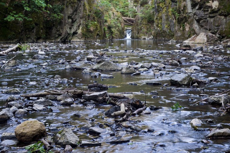
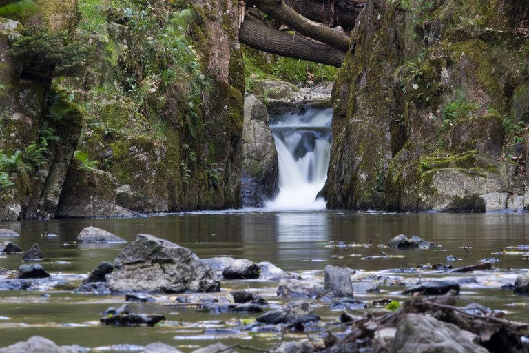
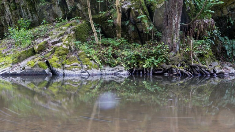
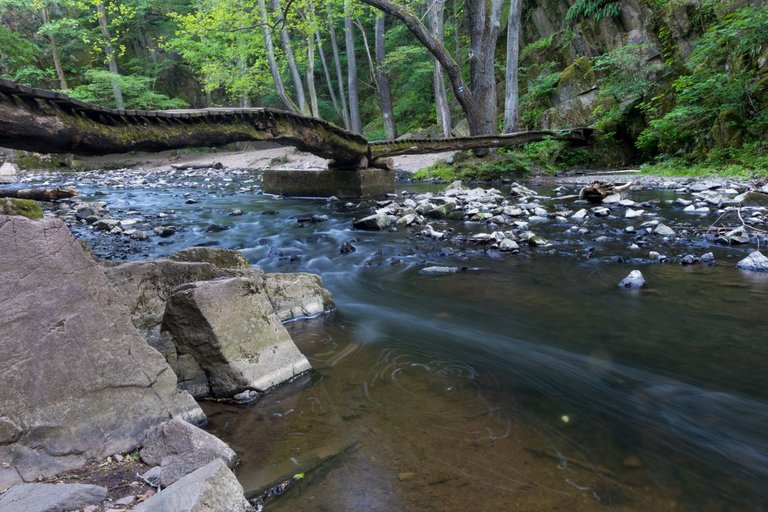
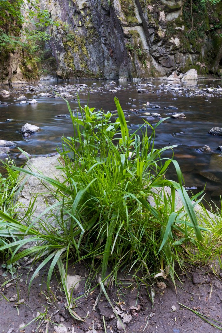
When I arrived at the place where the Skryjský vodopád (Skryje waterfall) is located, it was quite late. And the last visitors had slowly left the place. So I decided to spend the night here. Since it is a natural monument, I decided to use only a mat and a sleeping bag without a shelter to break as few rules as possible. And for this reason, I had the opportunity to observe the bats , which went to hunt for insects after sunset.
Když jsem dorazil na místo kde se nachází Skryjský vodopád, bylo již poměrně pozdě a místo opoušteli poslední návštěvníci. Tak jsem se rozhodl přenocovat právě zde. Vzhledem k tomu, že je to přírodní památka, rozhodl jsem se použít pouze karimatku a spacák bez přístřešku, abych porušil co nejméně pravidel. A z tohoto důvodu jsem měl možnost sledovat v leže létajicí netopýry, kteří se vydaly na lov hmyzu po západu slunce.
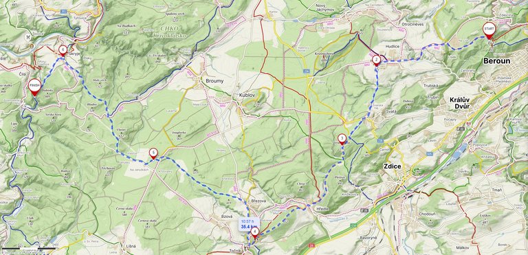
| Kilometers walked | Meters Up | Meters Down |
|---|---|---|
| 91.7 Km | 2224 meters | 2154 meters |
Jan Hus Trail - Prague (CZ) / Day 1 - part 1
Jan Hus Trail - Prague (CZ) / Day 1 - part 2
Jan Hus Trail - Prague to Beroun (CZ) / Day 2
I am following you and see your every post. The journey that happens is very special especially when we go to a place with such a scenic view. We are also happy to see all these beautiful places.
Top photographs. This place is very beautiful. Thanks for sharing ☺️
Exploring that amazing environment and immersing ourselves in that kind of adventure is truly incredible. It's such a relaxing place. The Berounka river looks absolutely lovely, but I wonder if the water is too cold?
The place in the photos is not Berounka, but Zbiroh brook. It is cold all year round. The Berounka is the larger river in the big valley and the temperature there is currently around 16 degrees Celsius. In the summer months, it is over 20, so people normally bathe here.
Wow! that's nice. The water seems so clear.
The water is clean, and several rare species of animals live here, such as the river crayfish (Astacus astacus)or the marbled barnacle (Barbatula barbatula).
There’s something truly special about immersing yourself in nature and letting it guide your schedule. It’s a stark contrast to the hustle and bustle of everyday life, with its constant demands and artificial timekeepers.
After I tried this method, I no longer set my alarm during the trip. I was always woken up before sunrise, or if it was raining, only when the rain was coming to an end.
I too no longer set an alarm before I got anxious because I wanted to visit so many things and therefore I didn't enjoy the trip
Congratulations, your post has been added to Pinmapple! 🎉🥳🍍
Did you know you have your own profile map?
And every post has their own map too!
Want to have your post on the map too?
👏 Keep Up the good work on Hive ♦️ 👏
❤️ @bhattg suggested sagarkothari88 to upvote your post ❤️
🙏 Don't forget to Support Back 🙏
WOW dearest 😍😍😍 Walking the Jan Hus Trail sounds like such a beautiful and peaceful adventure. It’s amazing how nature can offer both challenge and serenity. The rock formations and streams must have been incredible to see would love to see it in person one Day
Hiya, @livinguktaiwan here, just swinging by to let you know that this post made it into our Honorable Mentions in Travel Digest #2225.
Your post has been manually curated by the @pinmapple team. If you like what we're doing, please drop by to check out all the rest of today's great posts and consider supporting other authors like yourself and us so we can keep the project going!
Become part of our travel community: