In today's part of the notes from trips along the long-distance European route number 3, we will look at the Oravská Magura, or rather at the two eastern ridges adjacent to the High Tatras. So there will be no shortage of views.
V dnešním díle zápisků z cest po dálkové Evropské trase číslo 3 se podíváme na Oravskou Maguru, respektive na dva východní hřebeny sousedící s Vysokými Tatrami. Takže o výhledy nebude nouze.
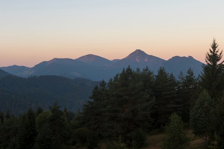
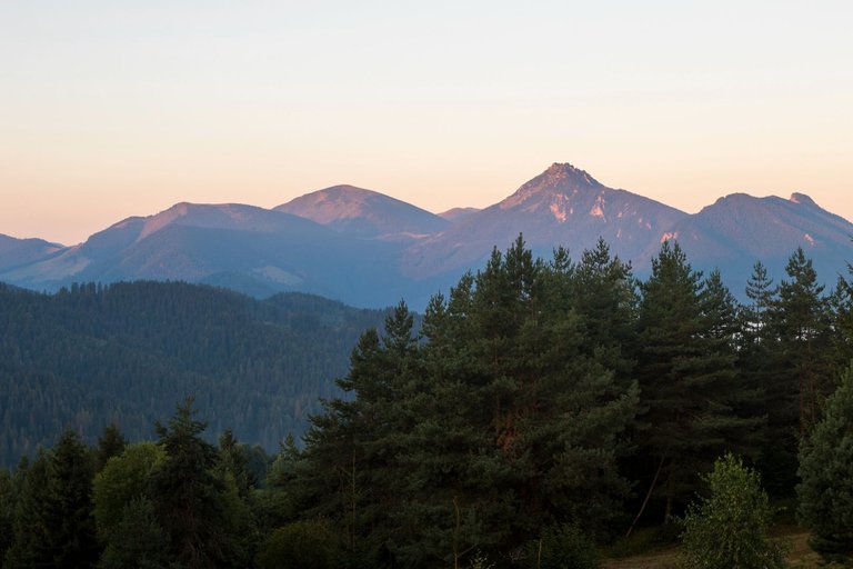
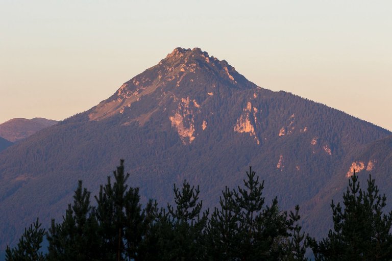
After an absolutely perfect night in the wooden cabin, I decided to get up at sunrise, as I expected the rising sun to illuminate the hills of Malá Fatra.
Po naprosto perfektní noci v dřevené chaloupce jsem se rozhodl vstát na východ slunce, protože jsem očekával, že vycházející slunce osvítí kopce Malé Fatry.
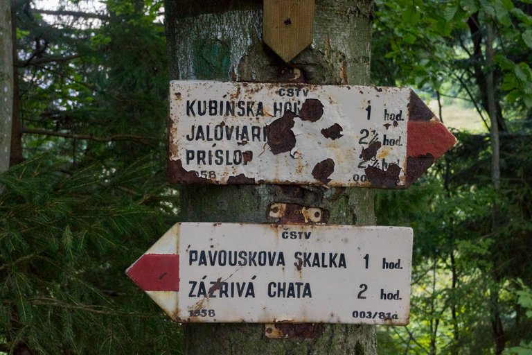
But because there were weak clouds in the east, there was no extra colorful sunrise. So I packed up during the photo shoot and headed for the first peak of the day. A hill called Minčol (1394m). Yes, again the same name as the peak in the first part of Malá Fatra. As I later found out, this name bears many hills in Slovakia. It's at least 3 times at E3 alone. Not far from the lodging, I came across a tourist signpost from 1958. I was interested in the times, which were 1/3 shorter than on the current signpost. So I decided to try how I am doing physically and whether I am able to keep these times.
Ale protože na východě byla slabá oblačnost tak se nějaký extra barevný východ slunce nekonal. Takže jsem se během focení zabalil a vyrazil směr první vrchol dne. Kopec s názvem Minčol (1394m). Ano opět stejný název jako vrchol v první části Malé Fatry. Jak jsem poté zjistil tak tento název nese hodně kopců na Slovensku. Jen na E3 je minimálně 3x. Nedaleko od nocoviště jsem potkal turistický rozcestník z roku 1958. Zaujaly mě časy, které byly o 1/3 kratší než na současném rozcestníku. Tak jsem se rozhodl zkusit jak na tom jsem fyzicky a zda jsem schopen tyto časy dodržet.
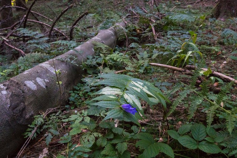
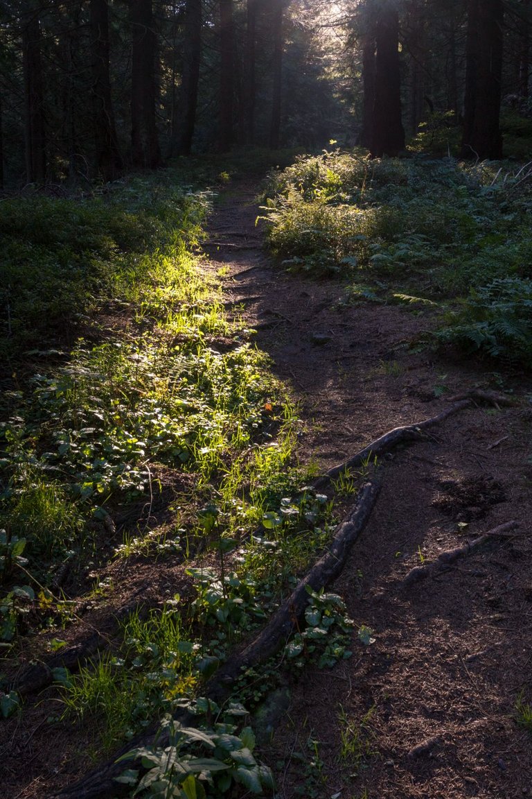
On the way I was quite often distracted by the surrounding countryside and stopped quite often. I finally reached the top in an hour and 20 minutes. Which was 20 minutes slower than it was on the old signpost and 25 minutes faster than it was on the new one.
Cestou jsem byl dost často rozptýlen okolní krajinou a docela často zastavoval. Nakonec jsem vrcholu dosáhl v hodině a 20 minutách. Což bylo o 20 minut pomaleji než bylo na sterém rozcestníku a o 25 minut rychleji než bylo na novém.
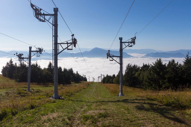
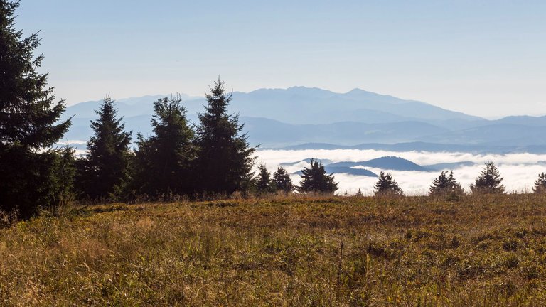
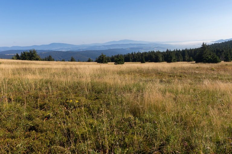
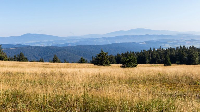
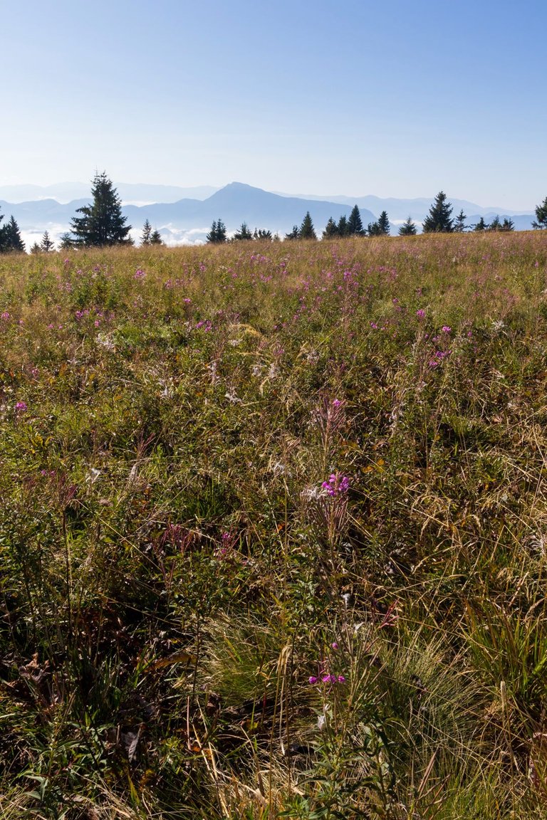
From the top of the ridge there was a view in almost all directions. Either east to the Chočské vrchy, High Tatras, or north to the Oravské Beskydy.
Z vrcholu hřebene byl výhled skoro do všech směrů. Ať už východně na Chočské vrchy, Vysoké Tatry, nebo severně na Oravské Beskydy.
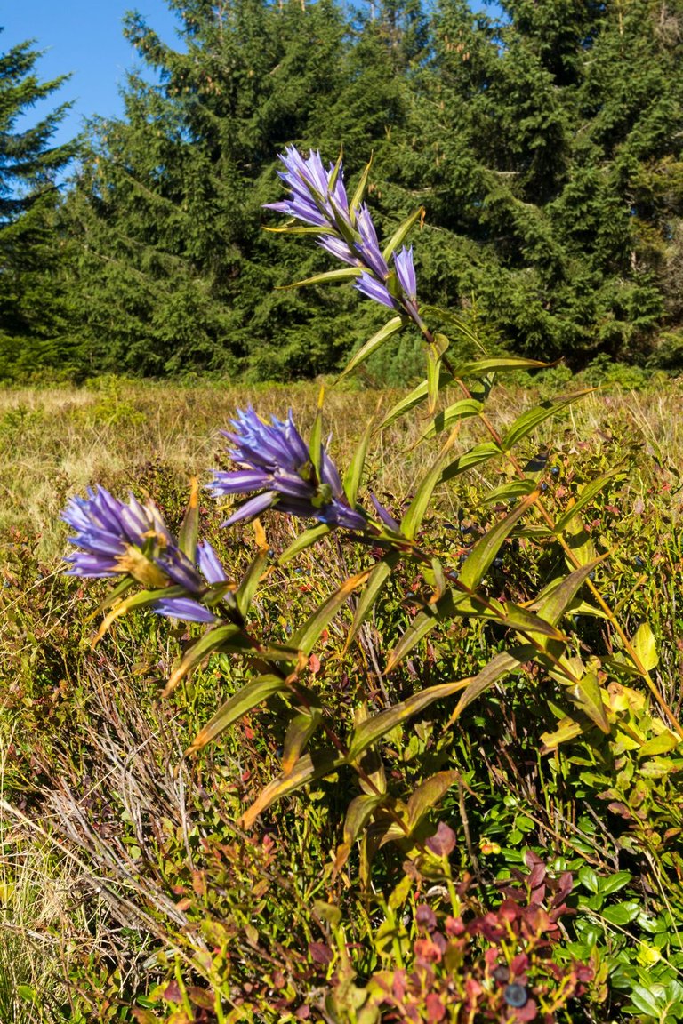
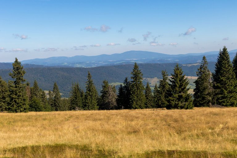
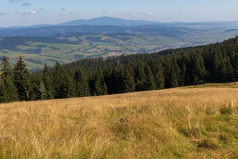
The journey along the ridge was pleasant with at least a not sharp elevation gains. So compared to the previous day, the trip was relaxing. That's why I could enjoy the views or the plants around the road.
Cesta po hřebeni byla příjemná s minimálně prudkým převýšením. Takže oproti předchozímu dni byla cesta odpočinková. Proto jsem se mohl bavit výhledy, nebo rostlinami co se kolem cesty nacházely.
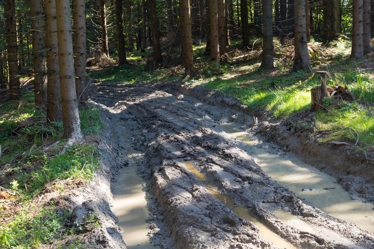
Until I was about to start my descent from the first ridge of the day. Here, the road got pretty bad, mainly thanks to tracks from LKT (Forest Wheeled Tractor) or Lakotoš, which is a local product from the times of socialism. I don't understand why Slovak lumberjacks still use this machine in the style they do. For example, in the Czech Republic, I have also seen it functional, but I only use it to bring wood closer to roads. And then the wood was taken away by the hauler. But the Slovaks drag wood through with Lakatoš for several kilometers and thus completely demolish the road. That's why I started calling these paths Lakatoš trails.
Až do chvíle než jsem měl začít klesat z prvního hřebene dne. Zde se cesta dost pohoršila hlavně díky kolejím od LKT (Lesný kolový traktor) nebo také Lakotoš, který je místním výrobkem z dob socialismu. Nechápu proč stále slovenští dřevorubci tento stroj používají stylem jakým ho používají. Třeba v Čechách jsem ho také viděl funkční, ale byl používán pouze na přibližování dřeva k cestám. A pak bylo dřevo odvezeno vyvážečkou. Ale Slováci Lakatošem táhnou dřevo i několik kilometrů a tím totálně zdemolují cestu. Proto jsem těmto cestám začal říkat Lakatoší stezky.
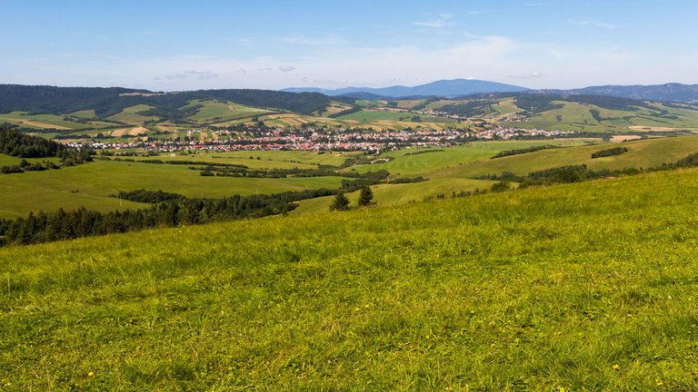
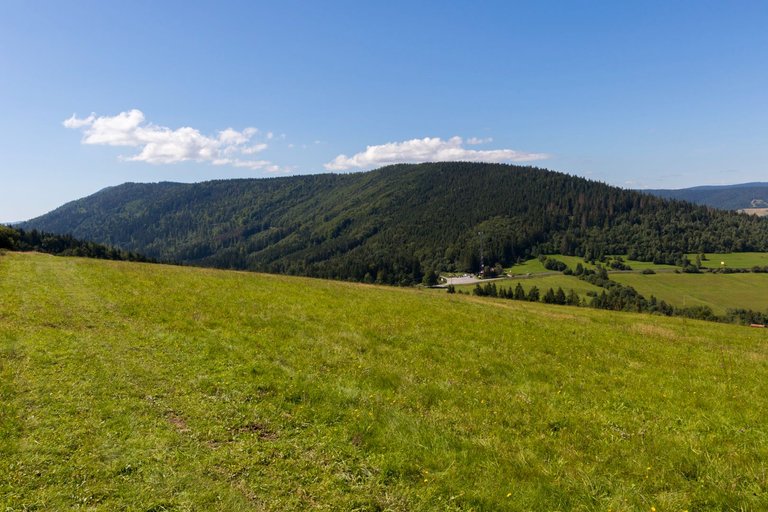
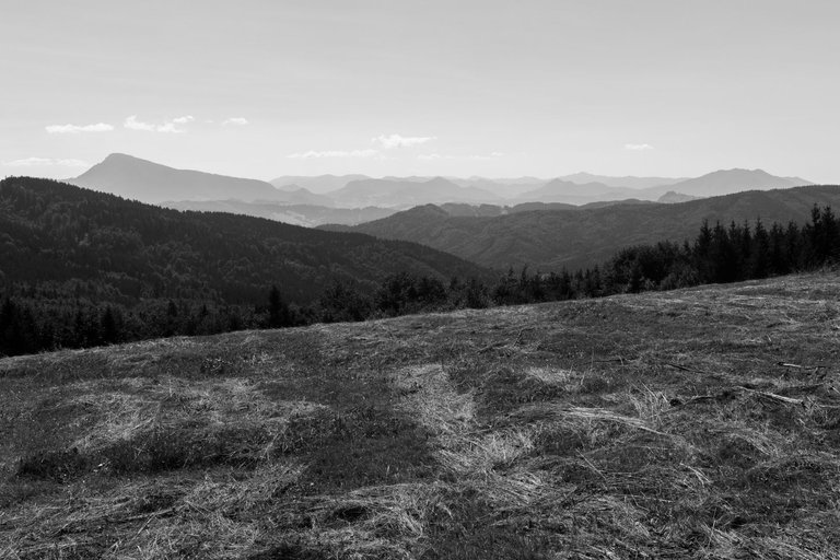
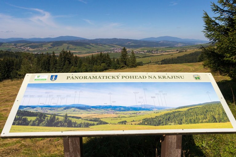
As soon as I managed to conquer the Lakatoš trail, I stopped at the spring to refill my water while making lunch and tea. Because I wasn't sure if the restaurant that was drawn on the map was working. Although it worked, it was a truck stop with Krušovice Czech beer on tap. So I happily continued on and preferred not to have this beer. From the beginning of the second ridge, the views changed a little, mainly thanks to the views back to the places I came from.
Jakmile se mi podařilo zdolat Lakatoší stezku, zastavil jsem se u pramene abych doplnil vodu a přitom jsem si uvařil oběd a čaj. Protože jsem se nebyl jist zda restaurace co byla zakreslená v mapě funguje. Sice fungovala, ale byl to kamióňáčký motorest s točeným Českým pivem značky Krušovice. Takže jsem radostně pokračoval dál a toto pivo si radši nedal. Ze začátku druhého hřebenu se výhledy trochu změnily, hlavně díky pohledům zpět do míst odkud jsem přišel.
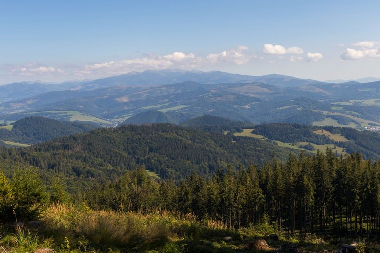
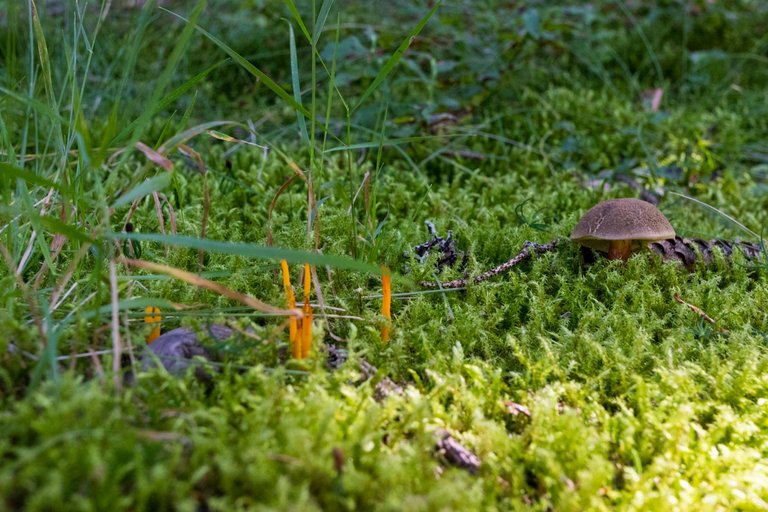
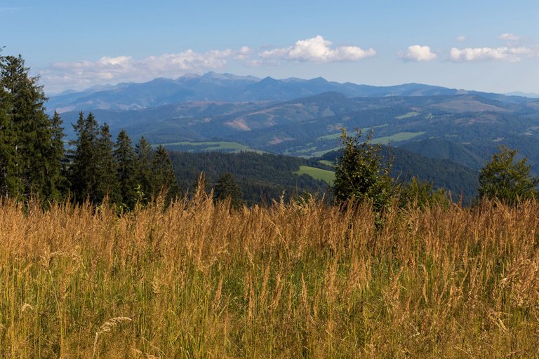
The second ridge was not as high as the previous one, but I found the landscape wilder and not so often visited. Some views of the High Tatras were worth a visit.
Druhý hřeben nebyl tak vysoký jako předchozí, ale krajina mi přišla divočejší a né tak často navštěvovaná. Některé výhledy na Vysoké Tatry stály za návštěvu.
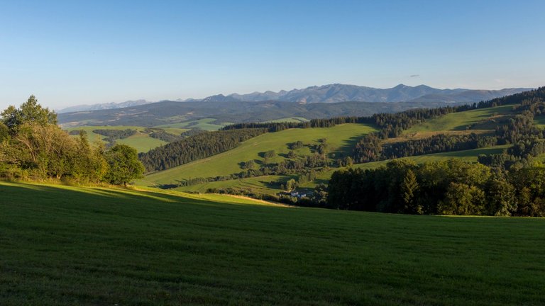
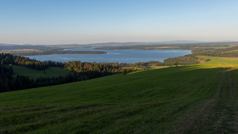
The day was slowly coming to an end, so it was necessary to start planning where I would sleep. Originally, I thought I would spend the night in a cozy tourist shelter under the peak of Magurka (1107m). But since the weather was supposed to be nice, I decided to go camping in the wild with some nice views with the possibility of taking pictures in the evening and the following morning. When I reached the edge of the forest, from where there was a view of the Tatra Mountains and at the same time the lake of the Orava Dam, which is often nicknamed the Slovak Sea.
Den se pomalu blížil ke konci a tak bylo potřeba začít plánovat kde budu spát. Původně jsem myslel, že přespím v útulně pod vrcholem Magurka (1107m). Ale vzhledem k tomu, že mělo být hezké počasí rozhodl jsem se pro kempování na divoko s nějakým pěkným výhledem s možností fotit večer i nadcházející ráno. Až jsem došel na okraj lesa odkud byl výhled na pohoří Tater a zároveň na jezero Oravské přehrady, které se občas přezdívá Slovenské moře.
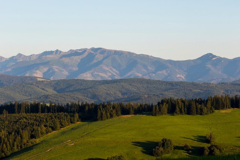
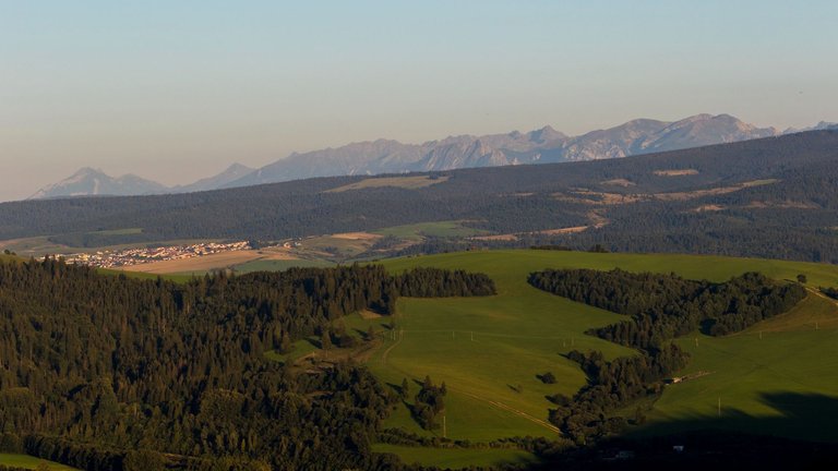

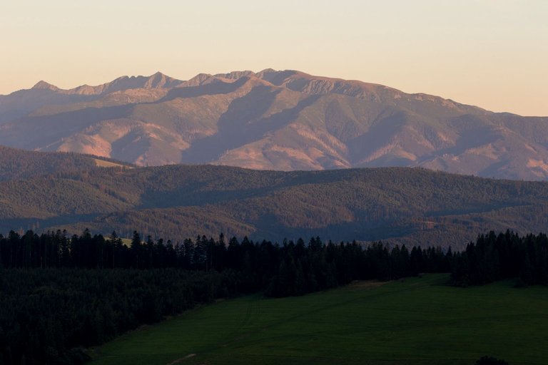
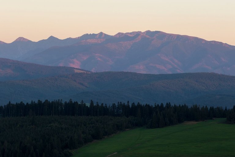
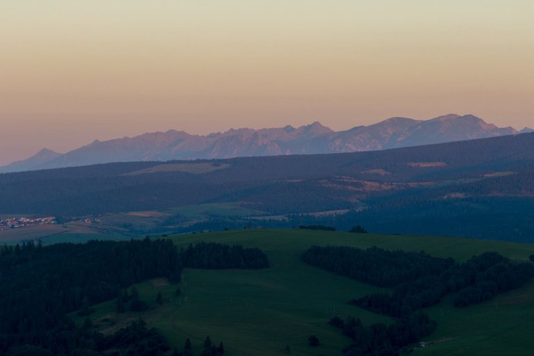
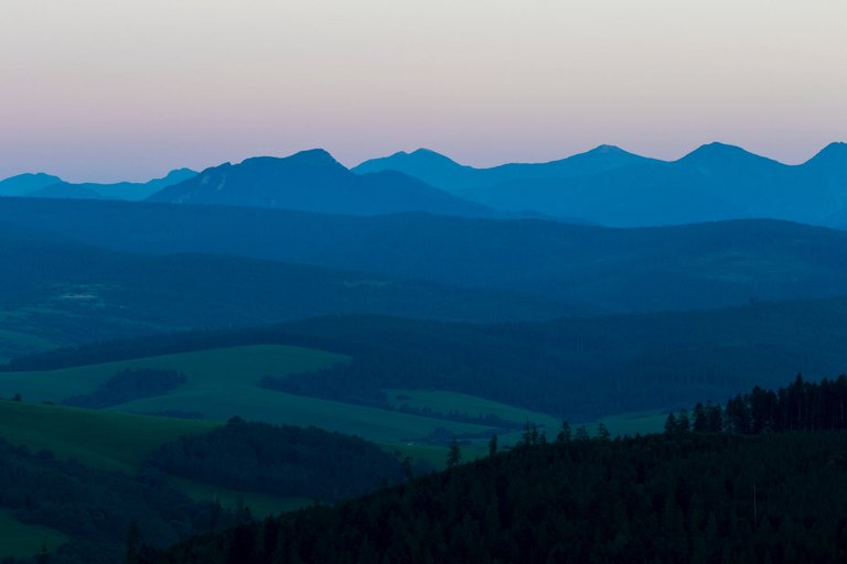
I settled on the edge of the forest and meadow. While cooking dinner, I watched the sunset over the Tatras and wondered what the next day would bring.
Zabydlel jsem se na okraji lesa a louky. Při vaření večeře jsem sledoval západ slunce nad Tatrami a přemýšlel co mě asi čeká další den.
| Total distance traveled | Conquered peaks | Total altitude |
|---|---|---|
| 1273,4 Km | 214 | 73908 m |
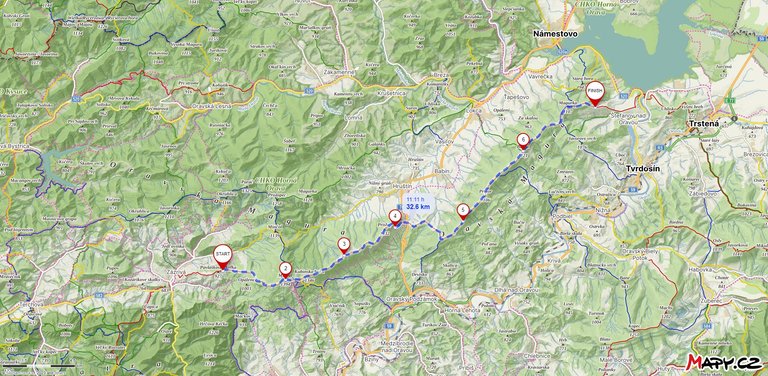
This stage was relaxing from my point of view, because there were no sharp elevation changes. And that's why I climbed 1165 meters and fell 1198 meters in 32.6 Km, but after the three previous days it was a leisurely walk from the view of Mala Fatra to the view of the High Tatras. I visited 13 peaks. Some had a view. Not from others, but there was a campfire here.
Tato etapa byla z mého pohledu odpočinková, protože zde nebyla žádná prudká převýšení. A proto jsem na 32,6 Km vystoupal 1165 metrů a klesl o 1198 metrů, ale po třech předchozím dnech to byla pohodová procházka od výhledu na Malou Fatru k výhledu na Vysoké Tatry. Navštívil jsem 13 vrcholů. Z některých byl výhled. Z jiných zase ne, ale zase zde bylo ohniště na kempování.
Absolutely amazing!! I love it! What an adventure!
These are really amazing photography ☺️
Thank you for comment, I try best I can do.
Thank you for always sharing
Congratulations, your post has been added to Pinmapple! 🎉🥳🍍
Did you know you have your own profile map?
And every post has their own map too!
Want to have your post on the map too?
Hiya, @ybanezkim26 here, just swinging by to let you know that this post made it into our Top 3 in Travel Digest #2060.
Your post has been manually curated by the @pinmapple team. If you like what we're doing, please drop by to check out all the rest of today's great posts and consider supporting other authors like yourself and us so we can keep the project going!
Become part of our travel community:
The view you show is very beautiful
What a journey! You're are quite brave and courageous Man.
This images are breathtaking. I absolutely love'em.