After a long time, I welcome you to the next part of the notes from my travels along the European long-distance route E3. This time from the fourth day, which was the most demanding so far, even if it didn't seem that way at first.
Po delší době Vás vítám u dalšího dílu ze zápisků z mých cest po Evropské dálkové trase E3. Tentokráte ze čtvrtého dne, který byl zatím nejnáročnější i když se tak zprvu nejevil.
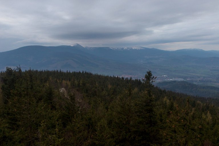
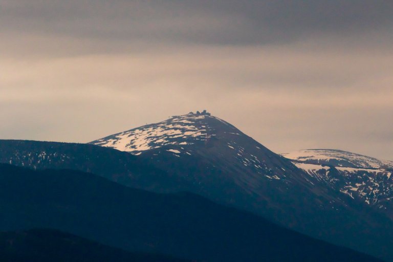
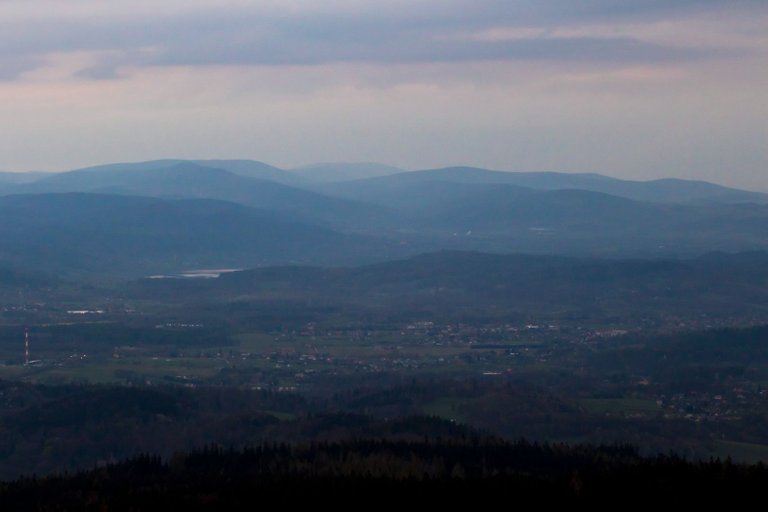
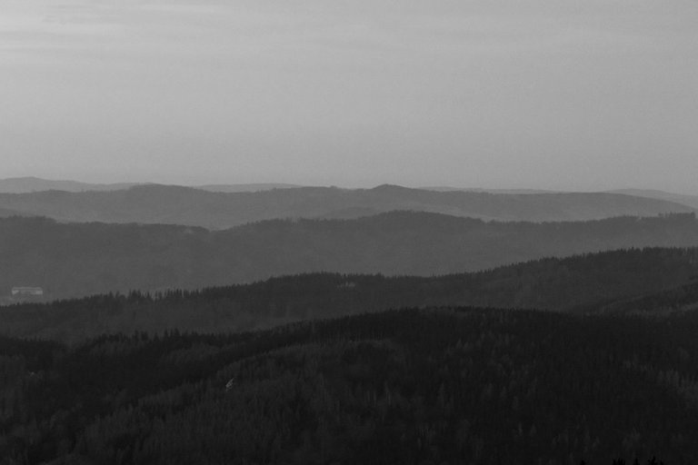
On the fourth day, I woke up a little later than usual because I heard drops hitting my shelter. So I knew nothing would come from the sunrise and taking pictures at a nearby viewpoint. Nevertheless, as soon as I stopped hearing the rain, I packed up and went to look at the lookout.
Čtvrtý den jsem se vzbudil trochu později, než je u mě obvyklé, protože jsem slyšel dopadat kapky na můj přístřešek. Takže jsem věděl, že z východu slunce a focení na blízké vyhlídce nic nebude. Přesto jakmile jsem přestal slyšet déšť jsem se zabalil a na vyhlídku se zašel podívat.
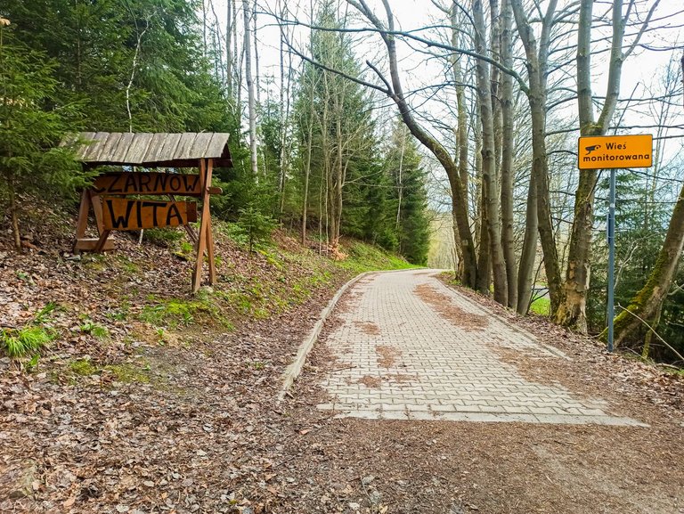
After that I began to descend from the mountains down until I reached the first village called Czárnow. From the signs with picture of the cameras, one would get the impression that there is a crime problem in Poland. But in several visits, and they were not exactly few, I did not notice any crime.
Poté jsem začal klesat z hor dolu, až jsem dorazil do první vesnice, se jménem Czárnow. Podle cedulí s kamerami by člověk nabyl dojmu, že je v Polsku problém s kriminalitou. Ale za několik návštěv a že jich nebylo zrovna málo jsem si žádné kriminality nevšiml.
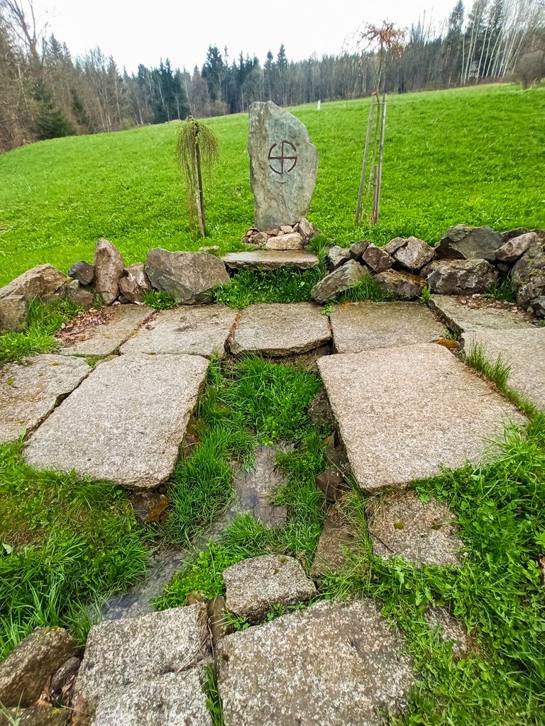
Sometimes you come across a well with a strange shape without any description.
Občas narazíte na studánku s divným obrazcem bez jakéhokoliv popisku.
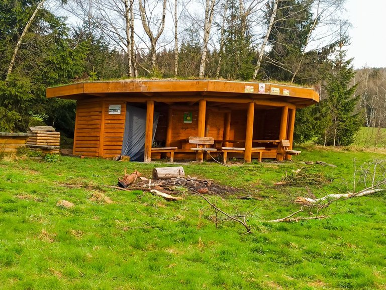
Or a tourist shelter, which I would expect more in Western Europe.
Nebo turistický přístřešek, který bych čekal spíše v západní Evropě.
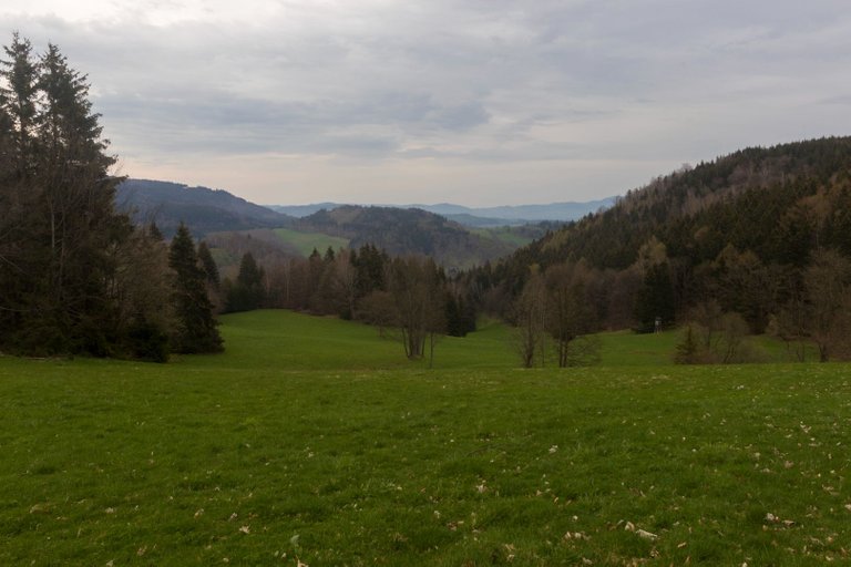
In Czárnow, I wondered if I should cut the distance down the Black Trail, which was straight down the hill. But I decided to follow the rules and go straight through E3. In the end, I was glad that laziness did not win because I got to a meadow with a view.
V Czárnowě jsem přemýšlel, zda si cestu nezkrátit po Černé stezce, což bylo přímo dolů z kopce. Ale rozhodl jsem se dodržovat pravidla a jít čistě skrze E3. Nakonec jsem byl rád, že lenost nezvýtězila protože jsem se dostal na louku s výhledem.
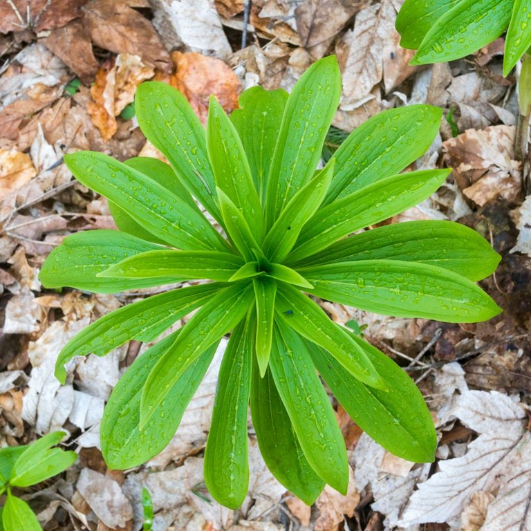
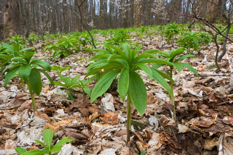
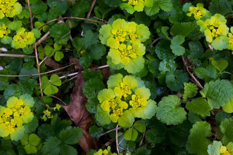
Then I got a little lost and went around the Bukowa hill (755m) from the left. And I was returning to the path through the forest, where it started spring and the whole forest was overgrown with all kinds of herbs.
Pak jsem se lehce ztratil a kopec Bukowa (755m) obešel z leva. A na stezku se vracel skrze les, kde začínalo jaro a celý les byl porostlý všemožnými bylinami.
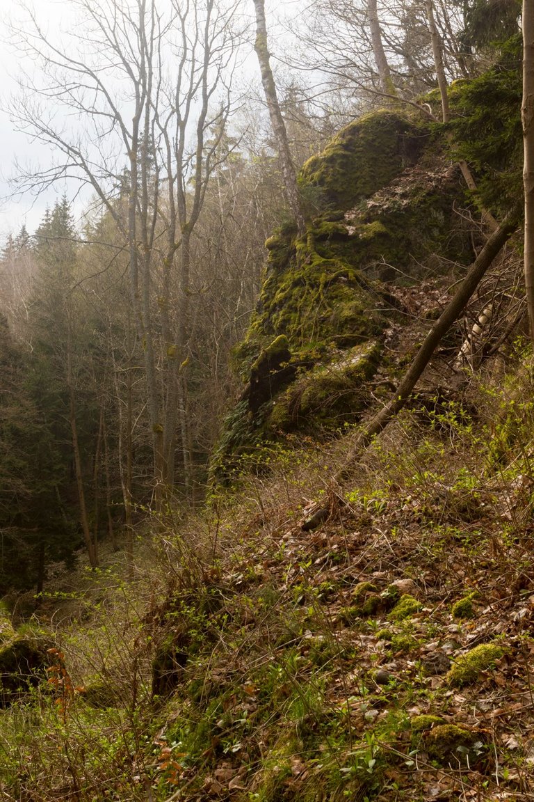
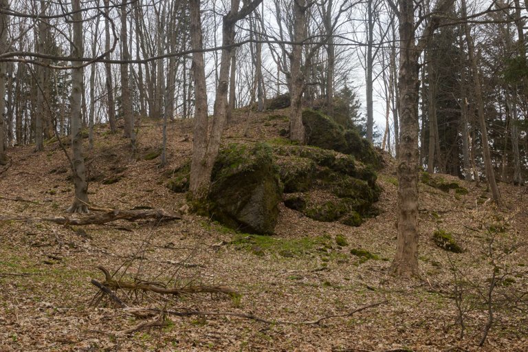
The trail then led along the side of the Jaworowa hill (757m). Where the landscape suddenly changed to rocky terrain and more trees were also uprooted here. Here I realized that probably not many people really walk this road and yet it was such a small piece of true wilderness.
Stezka poté vedla po úbočí kopce Jaworowa (757m). Kde se krajina náhle změnila ve skalnatý terén a také zde bylo popadáno více stromů. Zde jsem si uvědomil, že touto cestou asi moc lidí opravdu nechodí a přitom to byl takový malý kousek opravdové divočiny.
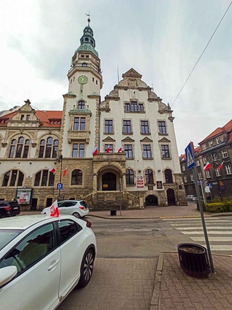
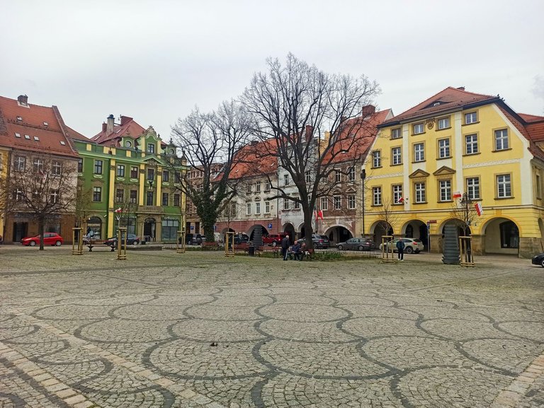
On the way to the town of Kamienna Góra, I had to pass through a village, an industrial area, fields once more, cross the under-construction highway over a new bridge that the map didn't recognize, but luckily it was there, otherwise I would have had to go back a long way. Again I walked along the edge of the industrial areas until I reached the town where I replenished my food supply for the next few days. I quickly walked through the city center and continued on.
Cestou do města Kamienna Góra jsem musel projít ještě jednou vesnicí, industriálním areálem, polemi, překonat rozestavěnou dálnici po novém mostě, který mapa neznala, ale byl zde k mému štěstí jinak bych se musel kus vracet. Opět projít po okraji industriálních areálů, až jsem se dostal do města kde jsem doplnil zásoby potravin na několik dalších dní. Rychle si prošel centrum města a pokračoval dále.
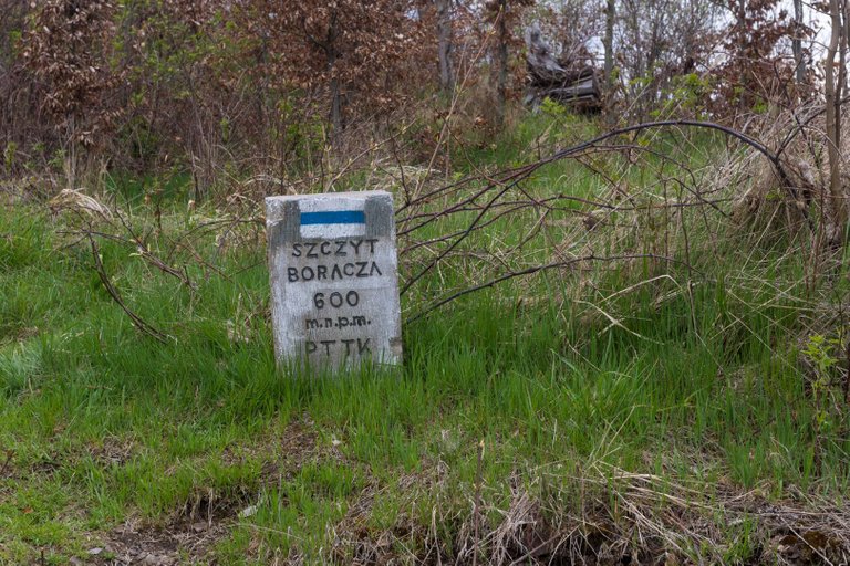
From the city, I had an unpleasant journey on the road, which I tried to pass as quickly as possible, then a quick rest and a meal at the edge of the forest. Then wade and avoid deep ruts from logging tractors. Getting on the road again, albeit not as busy, and conquering two more villages. When I got to the top of Boracza hill (600m).
Z města mě čekala nepříjemná cesta po silnici, kterou jsem se snažil projít co nejrychleji, pak rychlý odpočinek a jídlo na kraji lesa. Poté se brodit a vyhýbat hlubokým kolejím od těžebních lesnických traktorů. Opět se dostat na silnici i když ne tak frekventovanou a tou pokořit další dvě vesnice. Až jsem se dostal na vrchol kopce Boracza (600m).
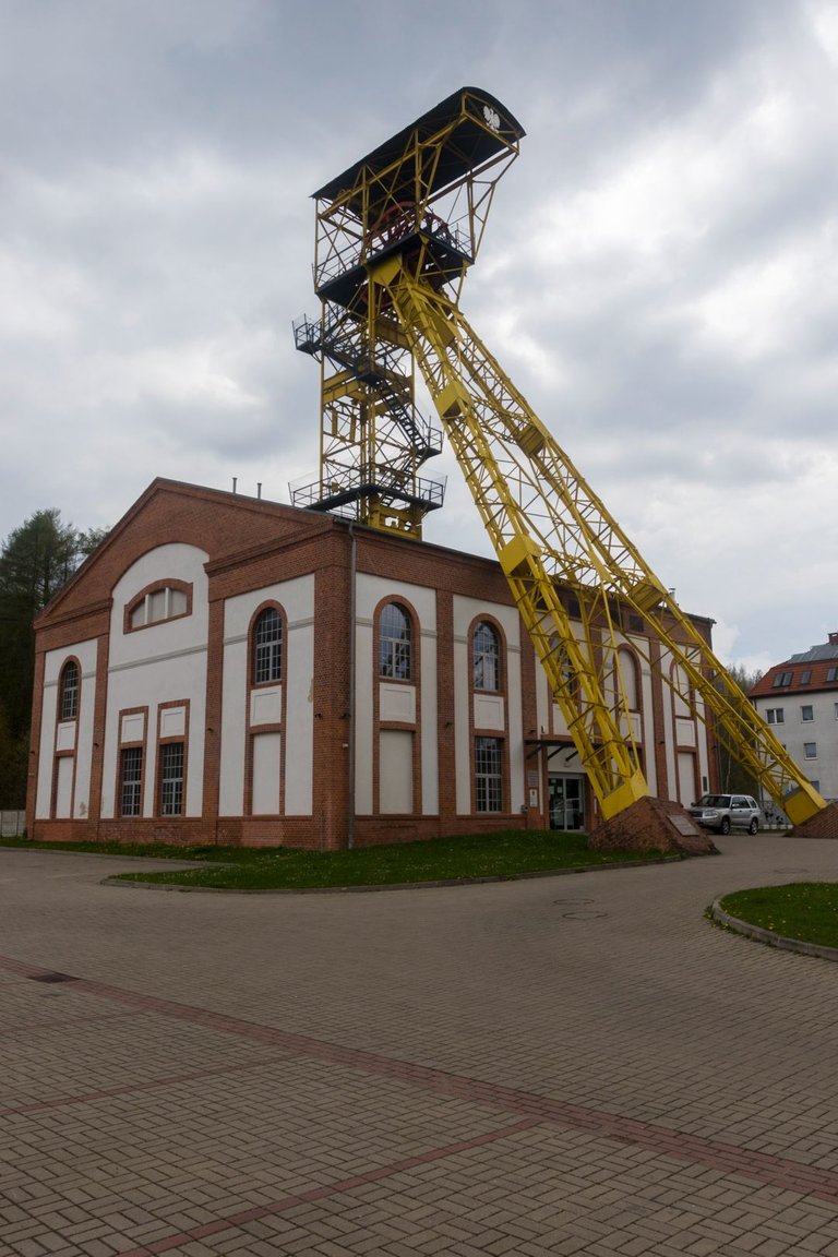
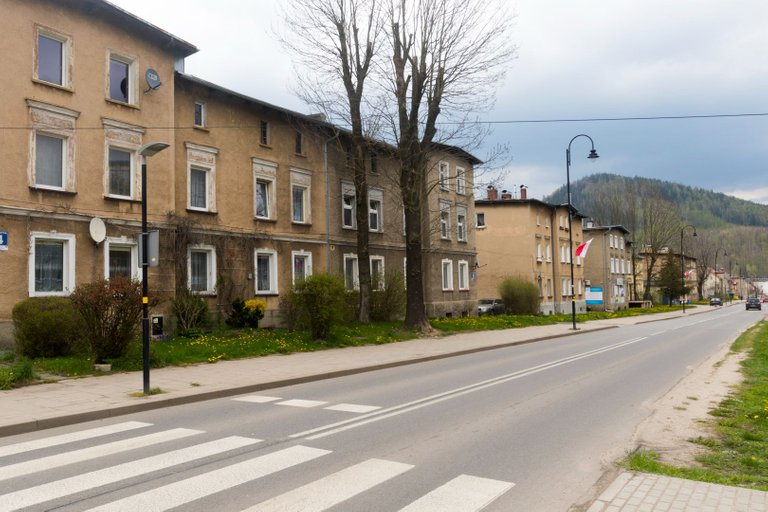
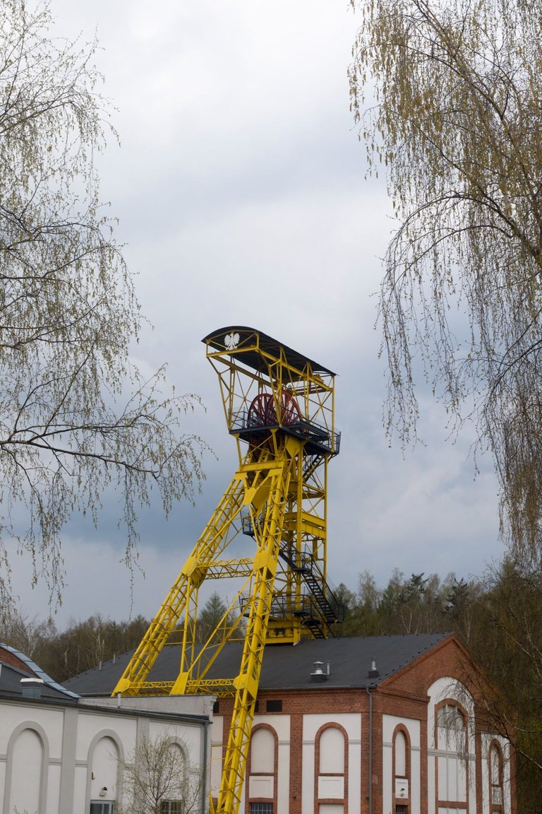
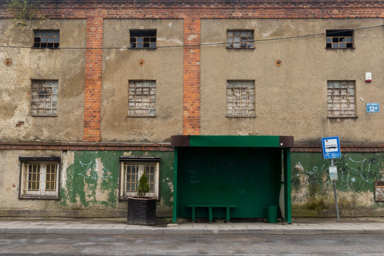
From the top, I started to descend to the town of Gorce. Which was a mining town and the architecture corresponded to that. It could be seen that the city was not exactly in the best shape after the mining ended. Even so, here I saw the first man cleaning up the waste in the local scrub instead of creating it.
Z vrcholu jsem , začal klesat do města Gorce. Což bylo hornické město a tak tomu odpovídala i architektura. Bylo vidět, že město není zrovna v nejlepší kondici poté co těžba skončila. I přesto jsem zde viděl prvního člověka uklízet odpad v místních křoviskách, místo toho aby ho vytvářel.
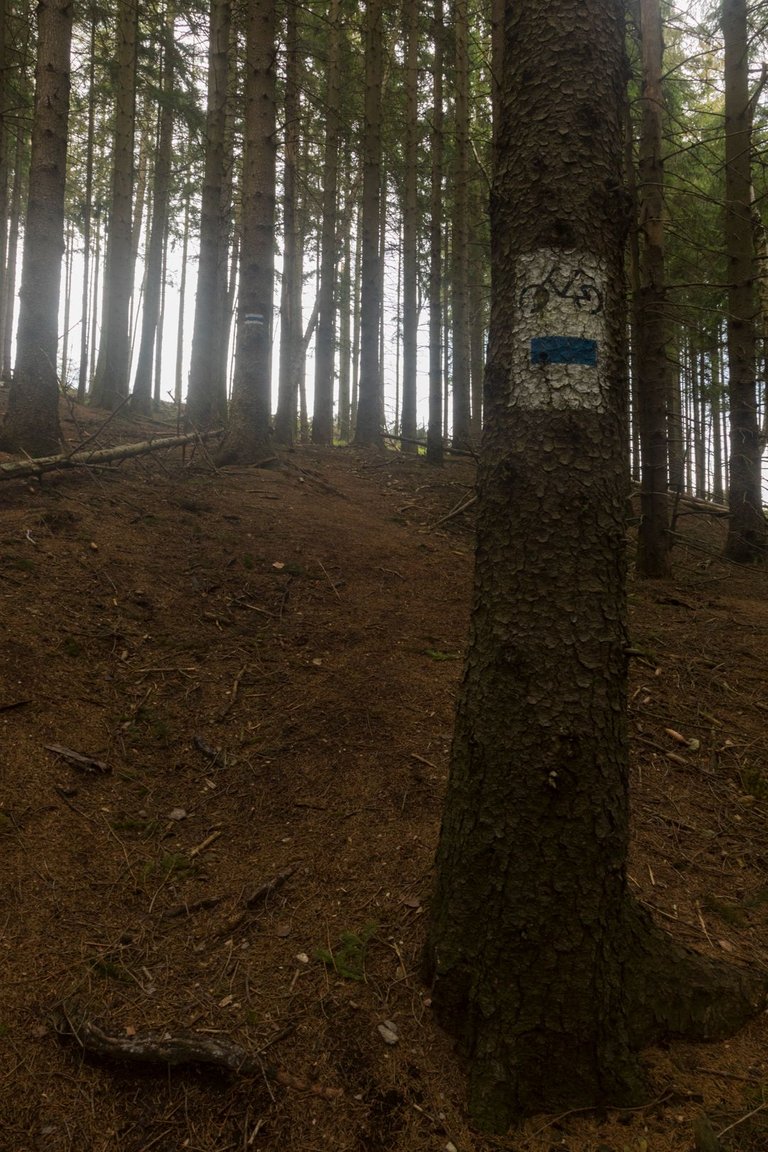
After a quick exploration of the city, I headed back into nature. The Boreczna hill (710m) awaited me right outside the town. Although there is nothing to see from the top, the steepest bike path in the world leads to it. I had a lot to do to get to the mountain with the support of hiking poles. I can't imagine riding this road.
Po rychlém průzkumu města jsem opět zamířil do přírody. Hned za městem mě čekal kopec Boreczna (710m). Sice z vrchol není nic vidět, ale vede na něj asi nejprudší cyklostezka na světě. Já jsem měl co dělat, abych se dostal na horu s podporou turistických holí. Nedovedu si představit tut cestu jet na kole.
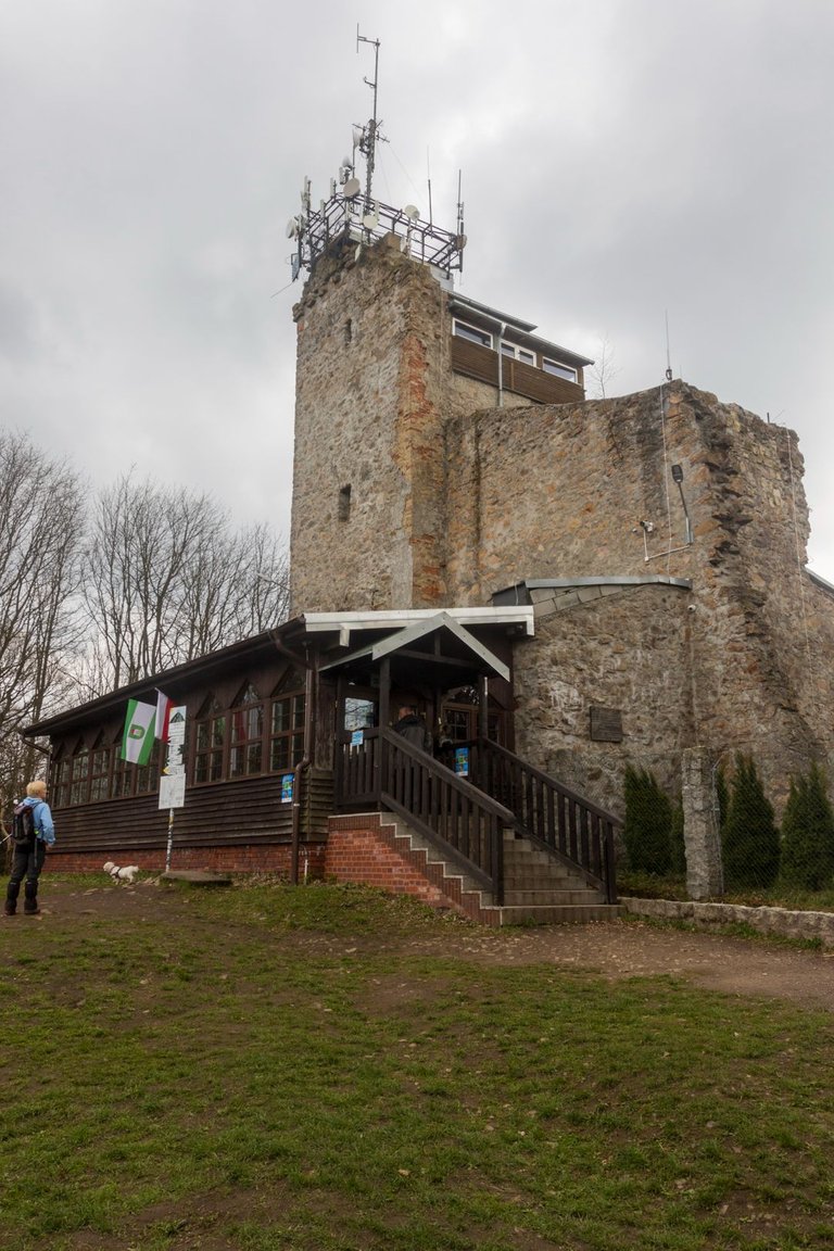
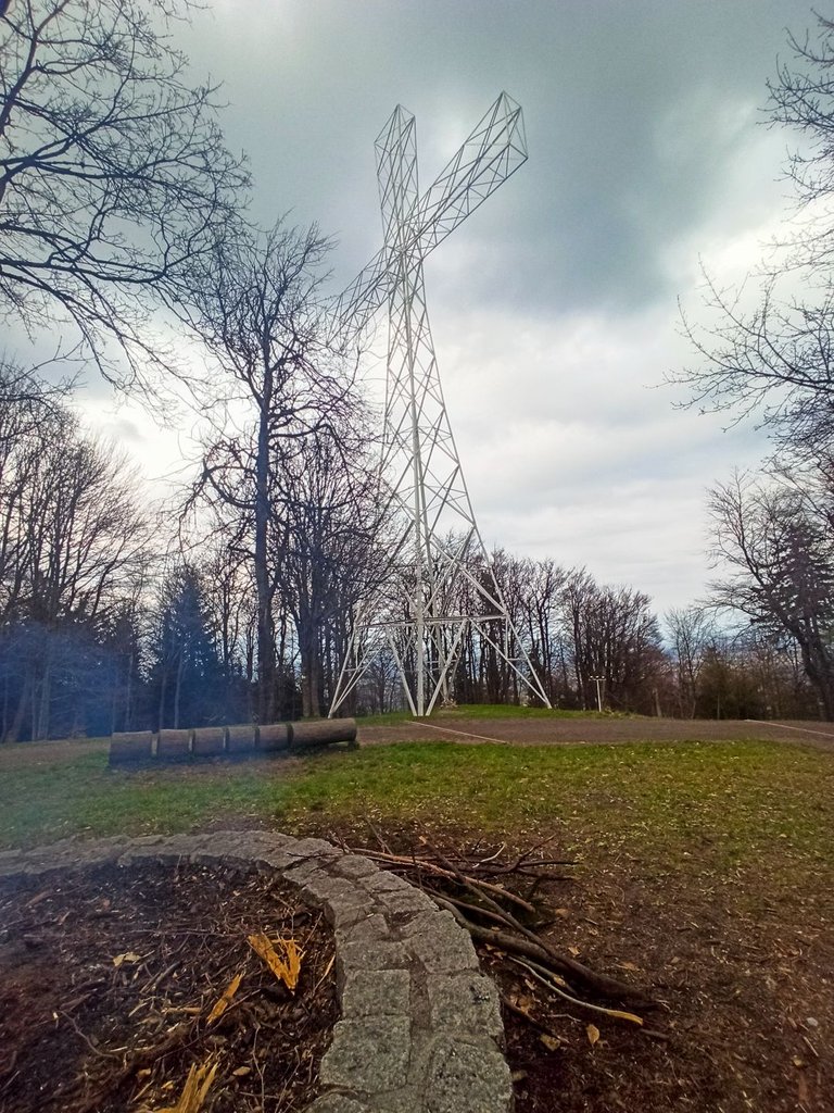
When I thought all suffering was over. I found that this is definitely not the case. That I have to go down to the valley again and start climbing again to the top of the day, Kopec Chelmiec (851m). Where I planned to spend the night in a tourist shelter. But due to the fact that it is a very frequently visited place, even an hour before sunset there were about 50 people here.
Když jsem si myslel, že je všemu utrpení konec. Zjistil jsem že tomu tak rozhodně není. Že musím opět sestoupit do údolí a zase začít stoupat na vrchol dne, Kopec Chelmiec (851m). Kde jsem plánoval přenocovat v turistickém přístřešku. Jenže vzhledem k tomu, že je to velmi často navštěvované místo i hodinu před západem slunce zde bylo asi 50 lidí.
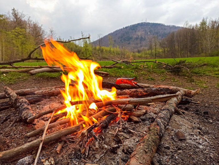
So I had to find an alternative. Fortunately, there was another shelter nearby, but I had to descend 320 meters. On the other hand, it was worth it, I could make a fire from dry wood. Roast a sausage on it and watch the sunset behind the hill.
Takže jsem si musel najít alternativu. Naštěstí nedaleko byl další přístřešek, ale musel jsem sestoupit 320 metrů. Na druhou stranu to stálo za to mohl jsem si udělat oheň ze suchého dřeva. Na tom opéct klobásu a koukat na západ slunce za kopcem.
| Total distance traveled | Conquered peaks | Total altitude |
|---|---|---|
| 641.9 Km | 62 | 33546 m |
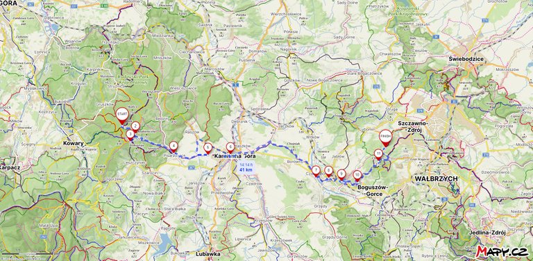
During the fourth day, I moved another 40 km further towards my goal. I visited several interesting cities. I ascended and descended a record number of meters with an elevation of 998 m up and 1416 m down. I got a little wet during the night in the leaky shelter, but it was still worth the effort.
Během čtvrtého dne jsem se posunul o dalších 40 km dále k mému cíli. Navštívil jsem několik zajímavých měst. Nastoupal a sestoupal rekordní počet metrů s výsledkem. 998 m nahoru a 1416 m dolů. V noci lehce zmoknul v netěsnícím přístřešku, ale i tak en stál za tu námahu.
Edited: Changed cover image
Edited: Changed cover image
[//]:# (!pinmapple 50.77940 lat 16.21081 long Chelmiec 851m d3scr)
Poland is definitely a cool country to visit no matter whether people enjoy the urban life or the wild parts of the country. I keep saying to myself that I should visit it one day but I keep postponing the moment. Happily this has a good cause too since I keep adding more and more places to visit while I'll be there by collecting information from the chain through people like you :)
The problem with Hive is that people show beautiful places here and the list keeps getting bigger and bigger, that a few lives would not be enough to visit and know some places.
Exactly!!
I’ve been curious about Poland. The history, the weather, the landscapes. I love your pictures, but the weather seems to share some kind of sadness, I guess that’s normal when everything is so cloudy. You had such an adventure there! I love those kind of trips, but I’ve never dared to try it! I guess someday I will. Thanks a lot for sharing!
When you travel on long treks, you have to put up with the weather, because sometimes it's hot, sometimes it rains. And if you start living with nature, you can enjoy any day. Because, for example, on a rainy day, you can meet animals at a relatively short distance, because they can't smell and hear as much thanks to the rain. The next article, on the other hand, will be excessively cheesy. Because the weather was typically May for Central Europe.
Amazing blog @softa
Check out my new travel community Wanderlust Explorers.
You are invited to to join the community.
Congratulations, your post has been added to Pinmapple! 🎉🥳🍍
Did you know you have your own profile map?
And every post has their own map too!
Want to have your post on the map too?
Hiya, @LivingUKTaiwan here, just swinging by to let you know that this post made it into our Top 3 in Daily Travel Digest #1922.
Your post has been manually curated by the @pinmapple team. If you like what we're doing, please drop by to check out all the rest of today's great posts and consider supporting other authors like yourself and us so we can keep the project going!
Become part of our travel community: