In today's part of the notes from the long-distance European route E3, we will look at how I managed to reach the top of Kralický Sněžník and what it actually looks like on the Czech side of this ridge.
V dnešním díle zápisků z dálkové Evropská trasy E3 se podíváme jak se mi podařilo dojít a vrchol Kralického Sněžníku a jak to vlastně vypadá na České straně tohoto hřebenu.
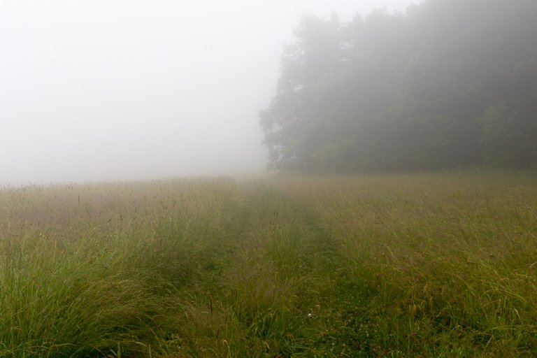
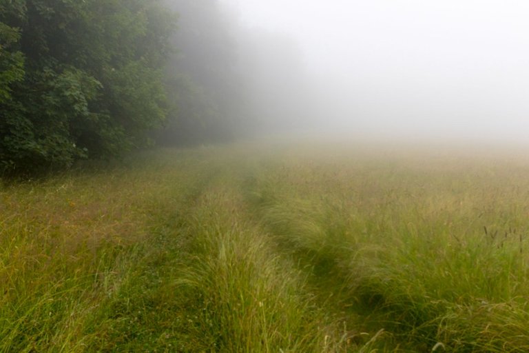
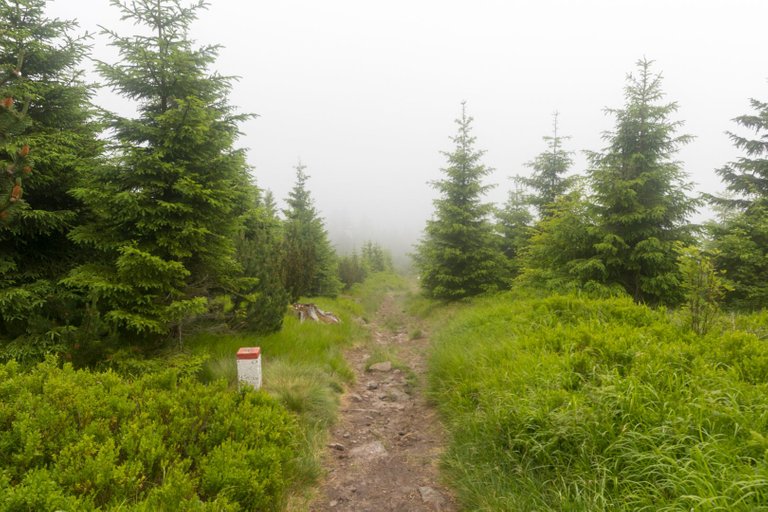
After a long time, I didn't plan to get up at sunrise because at that time the last raindrops were still falling on my shelter. And so I could get more sleep. I was woken up by silence at 6:30am. So I packed up, had a very light breakfast in the form of a cookie and hit the road. When I came out of the forest I was surprised by the fog that lay here.
Po delší době jsem neplánoval vstávat na východ slunce, protože v tu dobu ještě dopadaly poslední dešťové kapky na můj přístřešek. A tak jsem si mohl trochu přispat. Probudilo mě ticho v 6:30. Tak jsem se zabalil dal velmi lehkou snídani v podobě sušenky a vyrazil na cestu. Když jsem vyšel ven z lesa byl jsem překvapen mlhou, která zde ležela.
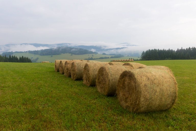
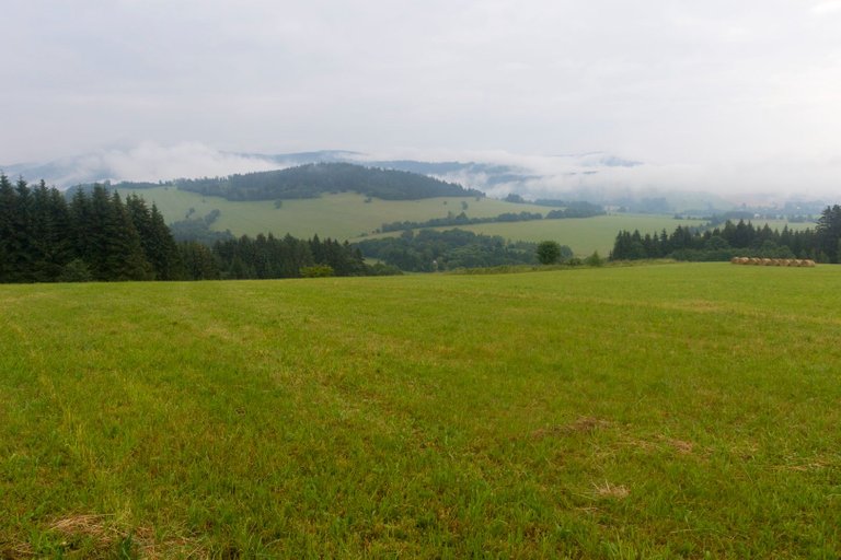
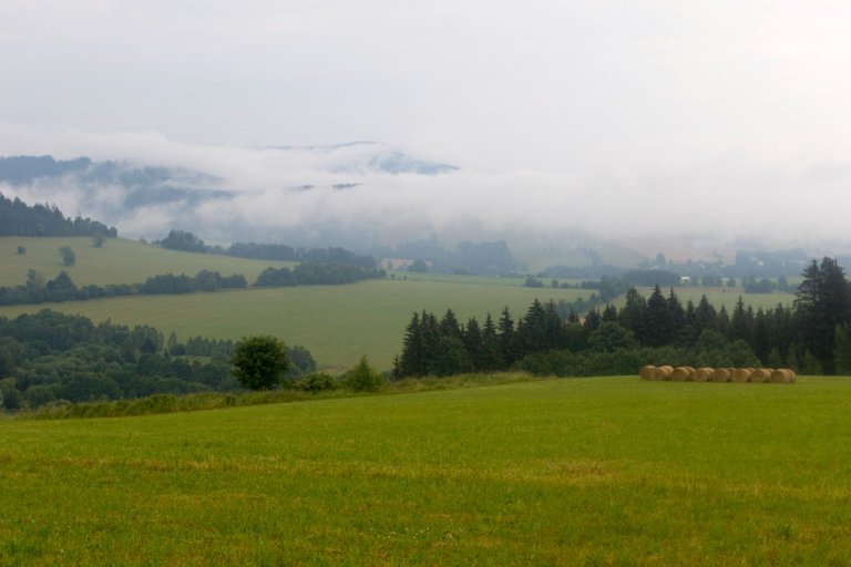
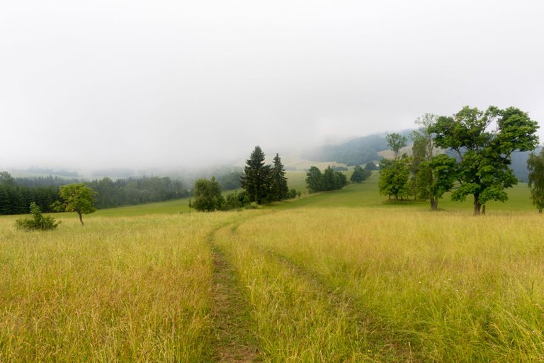
As I climbed a little higher into more open terrain, the fog began to clear and views began to emerge. This is how I imagined an ideal morning from a photographer's point of view.
Jakmile jsem vystoupal o trochu výše do otevřenějšího terénu, mlha se začala rozpouštět a začaly se objevovat výhledy. Takhle nějak jsem si představoval ideální ráno z pohledu fotografa.
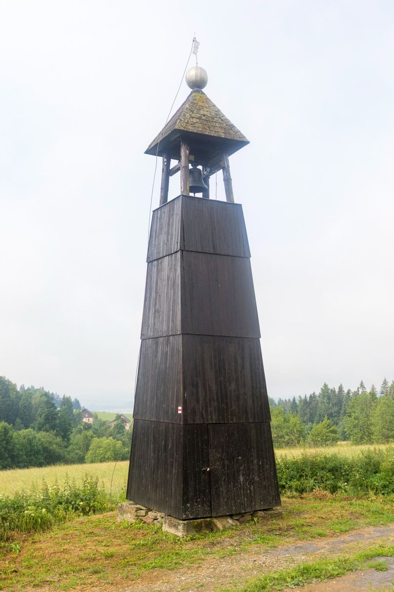
Wooden buildings of all kinds are typical for mountain regions in the eastern part of Europe, so when I noticed on the map that there was a wooden bell tower on the road, I knew it would be an ideal object for photography. But on the way to the bell tower I managed to get slightly lost in the cow pens and so I was forced to find my own way. But I finally got to the bell tower.
Pro horské regiony ve východní části Evropy jsou typické dřevěné stavby všeho druhu a proto když jsem si v mapě všiml, že cestou je dřevěná zvonice věděl jsem, že to bude ideální objekt k focení. Ale cestou ke zvonici jsem se stihl lehce ztratit v ohradnících pro krávy a tak jsem byl nucen si najít tak trochu svojí cestu. Ale ke zvonici jsem se nakonec dostal.
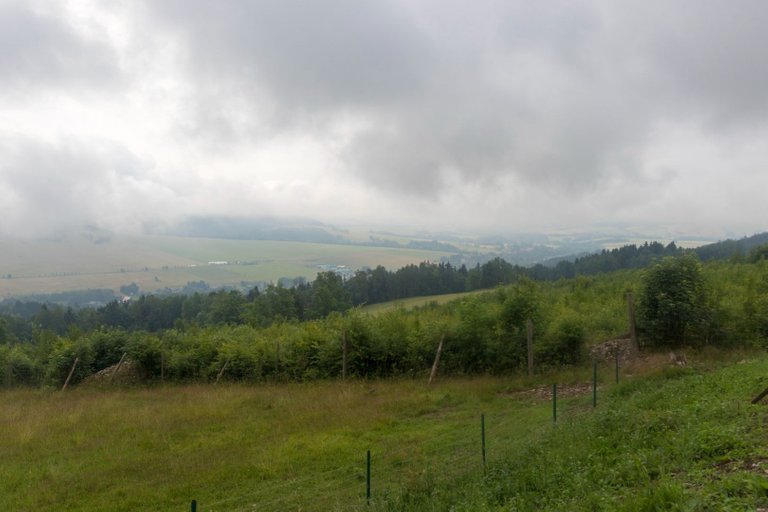
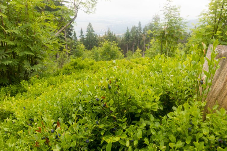
The first more challenging hill of the day awaited me from the bell tower. Climbing to the top of Klepáč, but before I got to the top I had time to refresh myself with blueberries while looking at the views of the landscape.
Od zvonice mě čekal první náročnější kopec dne. Výstup na vrchol Klepáč, ale než jsem se k vrcholu dostal stihl jsem se občerstvovat borůvkami a při tom se dívat na výhledy do krajiny.
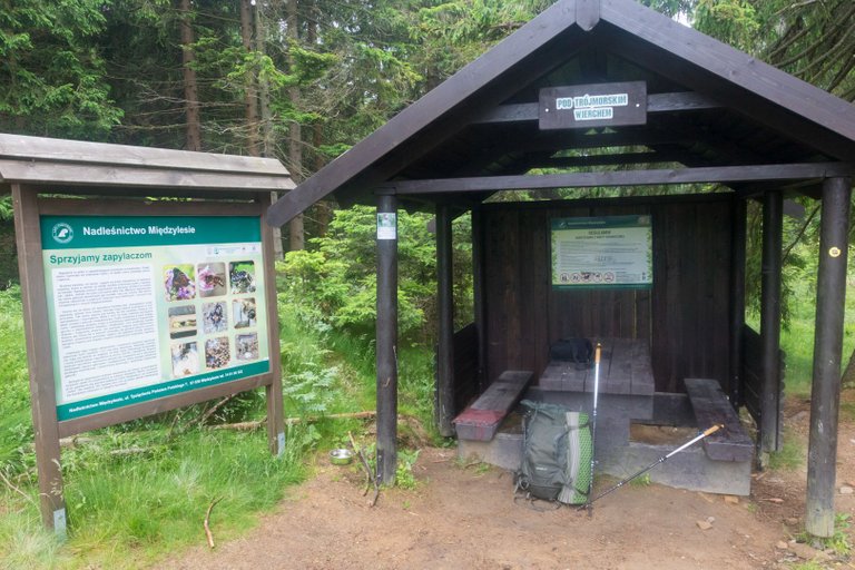
In the middle of the climb I got hungry because the breakfast was not enough, so I made a small stop in neighboring Poland, where there was a shelter about 5 meters beyond the border.
V polovině stoupání jsem dostal hlad, protože snídaně nebyla dostatečná a tak jsem si udělal malou zastávku v sousedním Polsku, kde se nacházel přístřešek asi 5 metrů za hranicí.
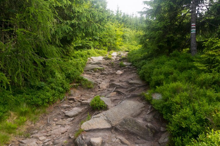
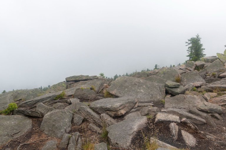
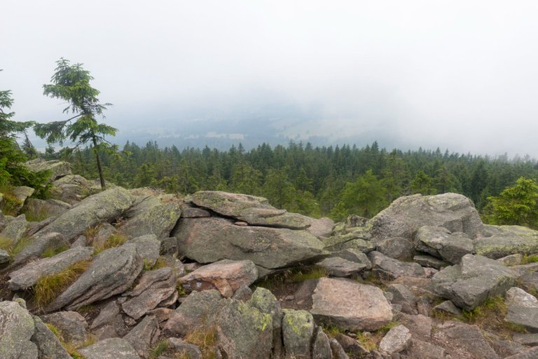
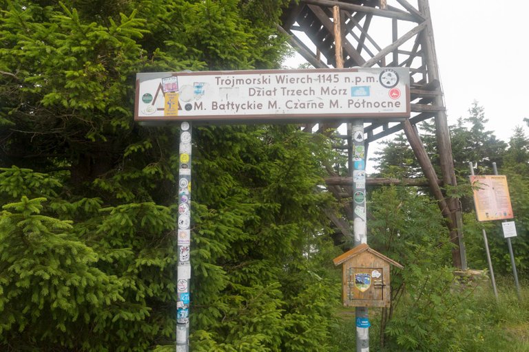
Klepáč (1144m) is a border mountain, so the path to the top leads directly along the border. There is a wooden lookout tower at the top, which I didn't go to because whole hill was in the clouds and couldn't see anything, so I saved a little energy, dried my wet shoes and found that the top is a watershed into three different seas.
Klepáč (1144m) je hraniční hora a tak na vrchol vede stezka přímo po hranici. Na vrcholu je dřevěná rozhledna, na kterou jsem nešel, protože jsem byl v mracích a nebylo nic vidět, tak jsem ušetřil trochu sil, usušil mokré boty a zjistil, že vrchol je rozvodí do třech různých moří.
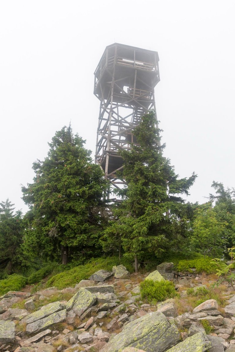
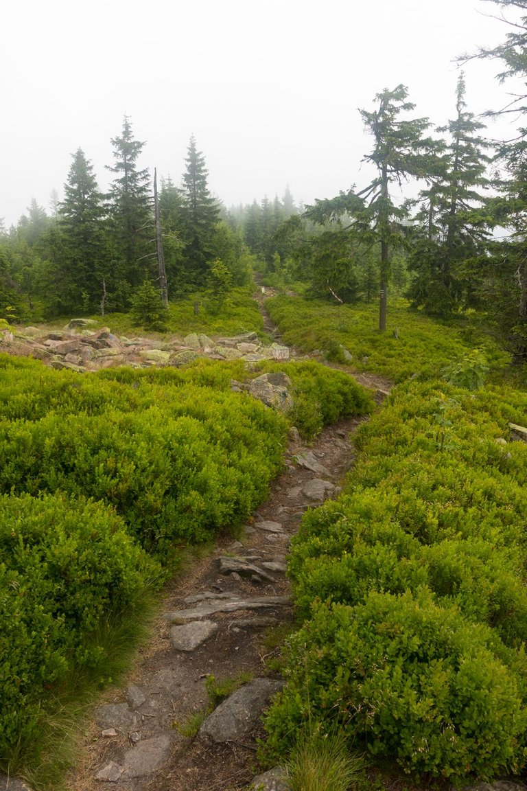
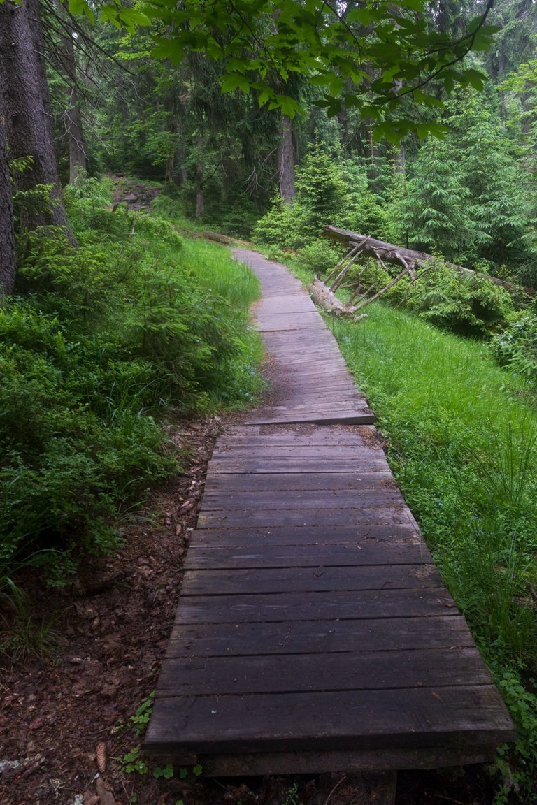
The view back to the observation tower and then further along the border path towards Kralický Sněžník.
Pohled zpět na rozhlednu a pak dále po hraniční stezce směr Kralický Sněžník.
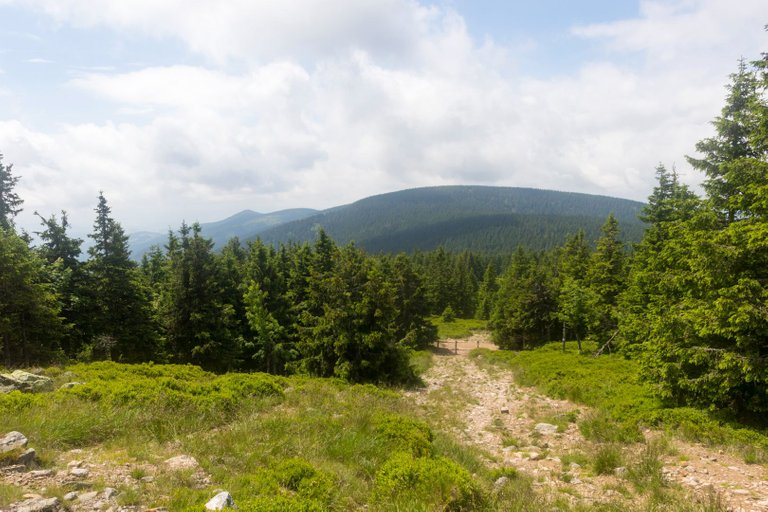
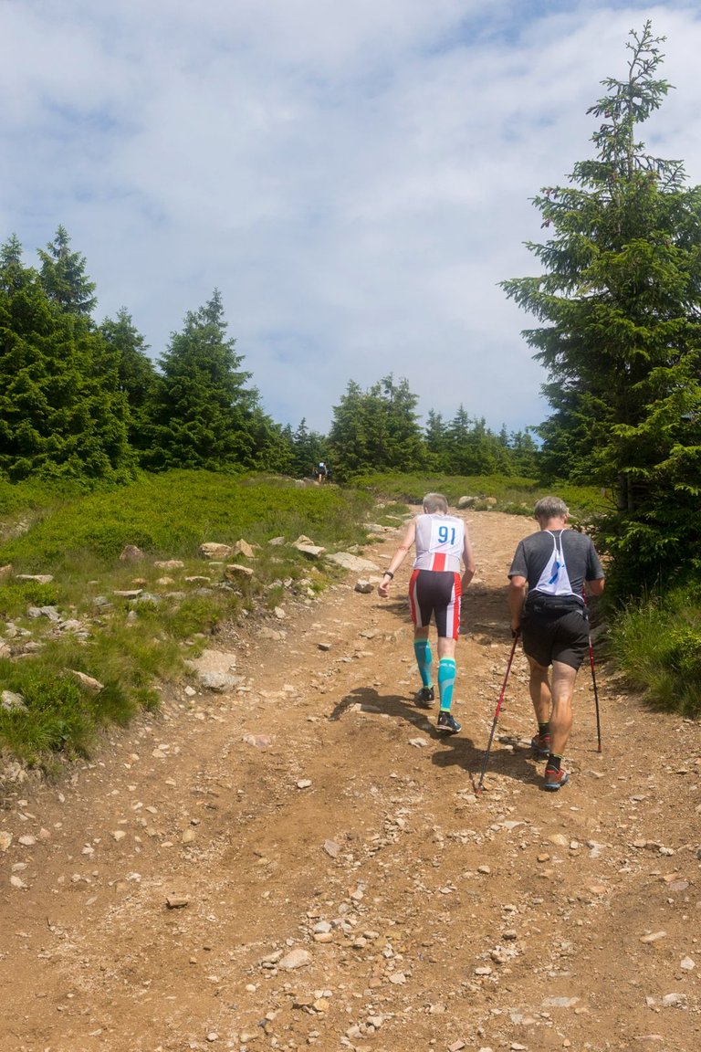
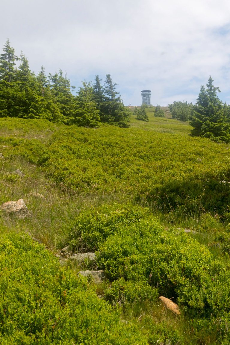
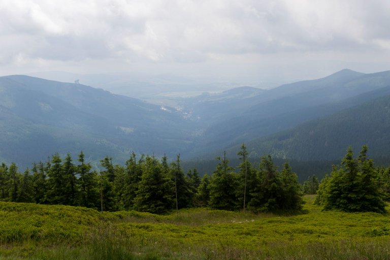
As soon as I started climbing to the very top, people with race numbers started running around me. Some of them showed that they just went to try it out, and some of them showed that they are experienced trail runners. So my journey became quite complicated in some places, because I didn't want to brake them and I had to move aside in narrow places. At least I had time to take pictures of the views.
Jakmile jsem začal stoupat na samotný vrchol, začali kolem mě běhat lidé se závodními čísly. Na některých bylo vidět, že si to šly jenom zkusit a na některých že jsou to zkušení trailrunneři. Takže se mi cesta místy dost komplikovala, protože jsem je nechtěl brzdit a musel jsem v úzkých místech uhýbat stranou. Alespoň jsem měl čas fotit výhledy.
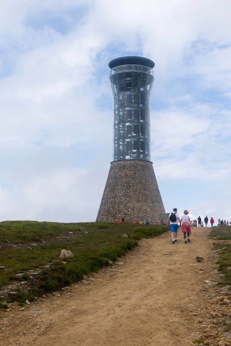
It was quite busy at the top that day, not only did the run from Králíky end here, but there were also quite a few tourists.
Toho dne bylo na vrcholu docela rušno, nejen že zde končil běh z Králíků, ale bylo zde i poměrně hodně turistů.
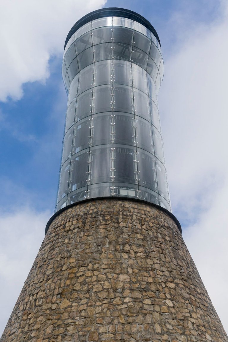
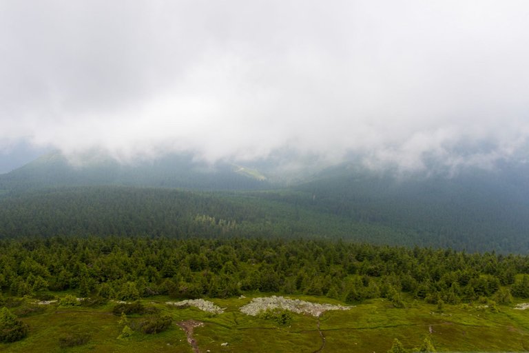
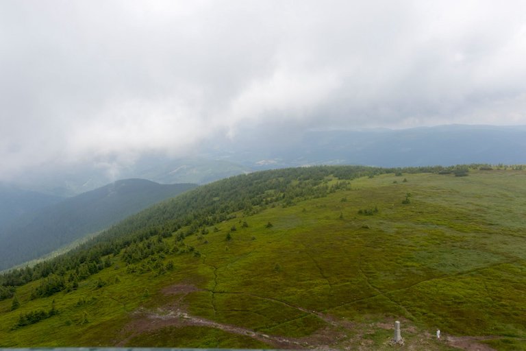
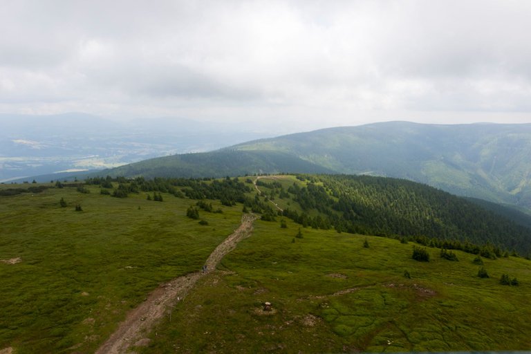

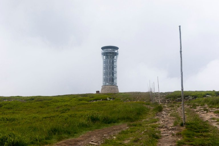
At the top of Kralický Sněžník (1423m), a new observation tower was opened last year, which offers great views of the surroundings. And I would say that it also succeeded in terms of design.
Na vrcholu Kralického Sněžníku (1423m) byla v minulém roce otevřena nová rozhledna, která nabízí skvělé výhledy do okolí. A řekl bych, že i po designové stránce se povedla.
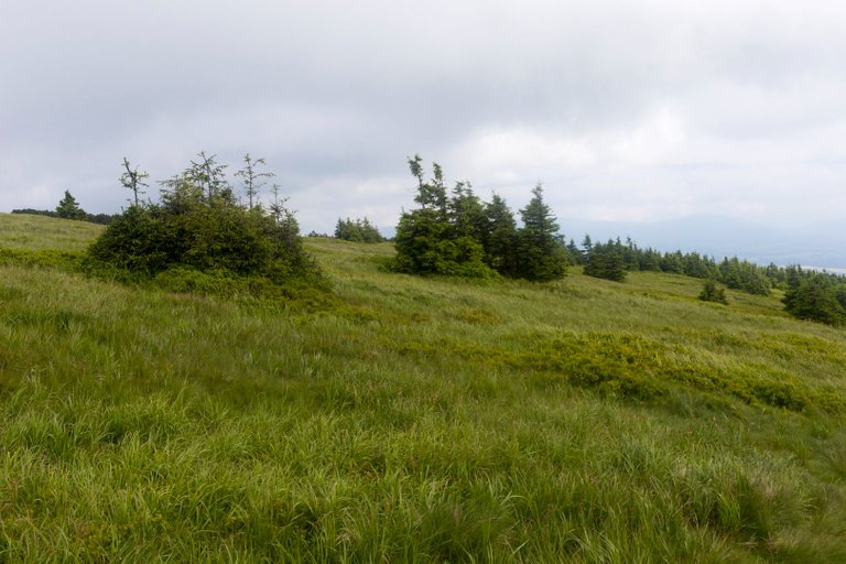
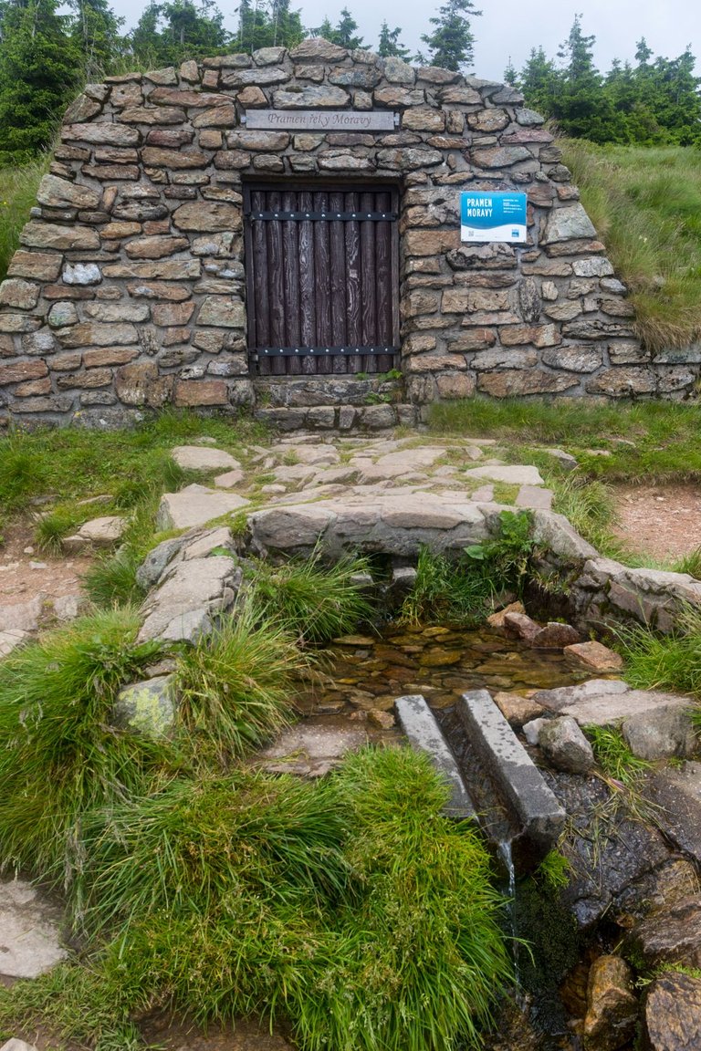
After I rested a little at the top, I went to the source of the Morava River. I had a drink here as it was getting quite warm. In addition, when you have the opportunity to drink from the largest Moravian river, after which the entire land is named.
Když jsem si na vrcholu lehce odpočinul, vydal jsem se k prameni řeky Moravy. Zde jsem se napil, protože začalo být poměrně teplo. Navíc kdy máte možnost se napít z největší Moravské řeky, podle které se celá země jmenuje.
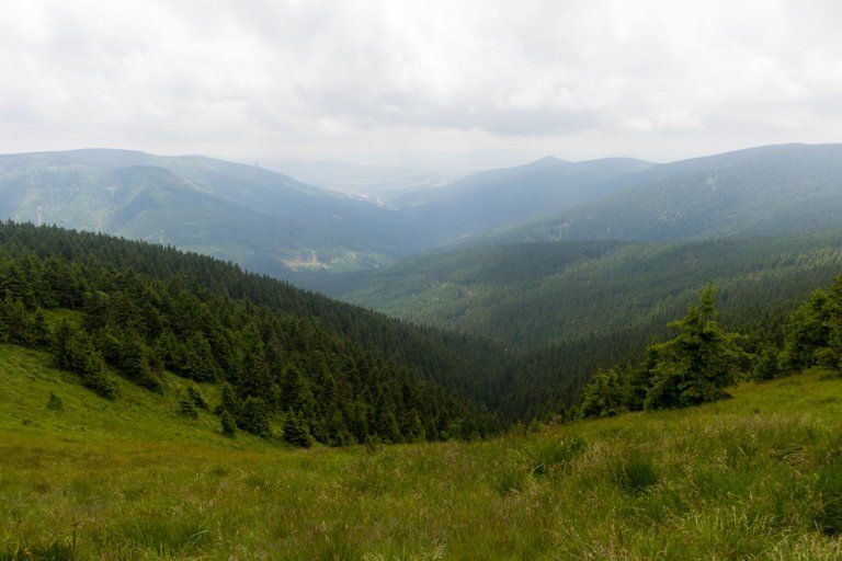
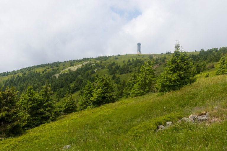
A view of the valley of the Morava River, a last look at the top of Sněžník and continuing on towards new discoveries for me.
Pohled do údolí řeky Moravy, naposledy se podívat na vrchol Sněžníku a pokračovat dále vstříc pro mě novým objevům.
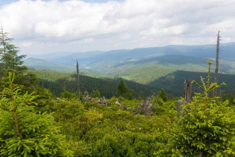
As soon as I started to descend from the top, views of other mountains that awaited me on my way began to appear. Which is called Hrubý Jeseník, where there is also the highest mountain in Moravia.
Jakmile jsem začal klesat z vrcholu začaly se objevovat výhledy dalších hor, které mě na mé cestě čekaly. Které se jmenují Hrubý Jeseník, kde je i nejvyšší hora Moravy.
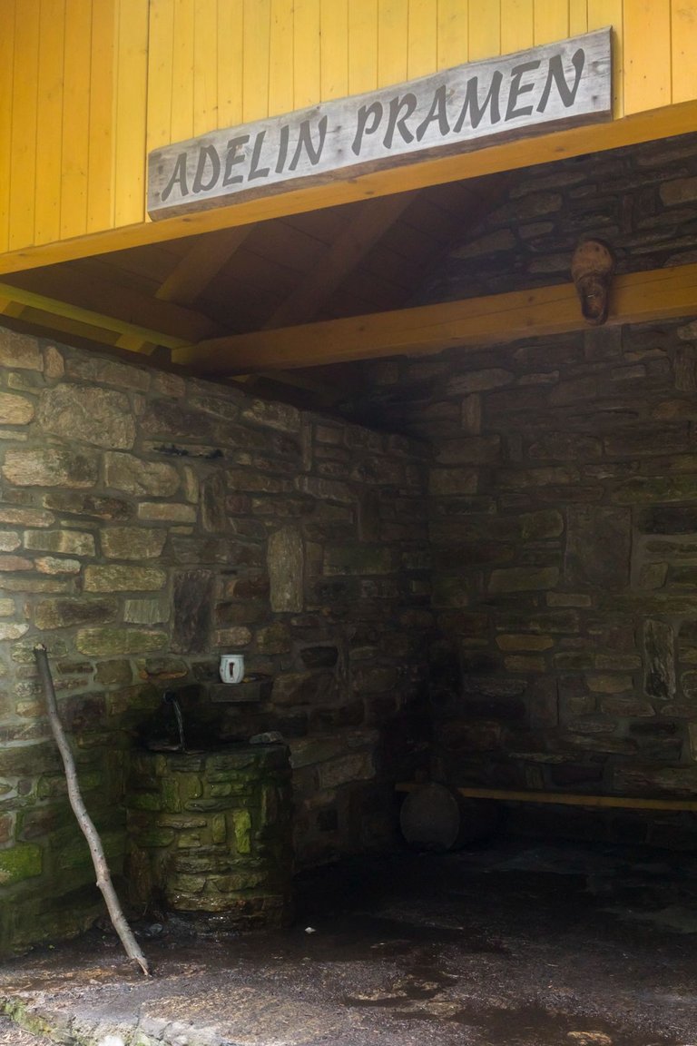
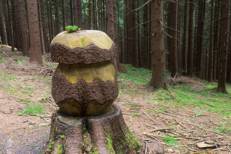
The road then led only along forestry roads. I also made a small stop at the spring, where I made tea. I took a photo of the forest creation and started looking for a place to spend the night.
Cesta pak už vedla jen po lesáckých cestách. Udělal jsem ještě malou zastávku u pramene, kde jsem si uvařil čaj. Vyfotil jsem lesnickou tvorbu a začal hledat místo na přenocování.
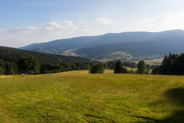
On one of the meadows near the Kunčická hora, I took one last look at the Kralický ridge and headed into the forest to the nearby spring. I met two deer on the way. At the spring, he discovered that it was impossible to sleep here, because the whole area was waterlogged. And so I continued to the next spring near Růžová bouda. Where I finally set up camp.
Na jedné z luk nedaleko Kunčické hory jsem se naposled podíval na Kralický hřeben a zamířil do lesa k nedalekému prameni. Cestou jsem potkal dva jeleny. U pramene zjistil, že zde není možné přespat, protože celé okolí bylo podmáčené. A tak jsem pokračoval k dalšímu prameni u Růžové boudy. Kde jsem nakonec rozložil tábor.
| Total distance traveled | Conquered peaks | Total altitude |
|---|---|---|
| 855.8 Km | 96 | 47596 m |
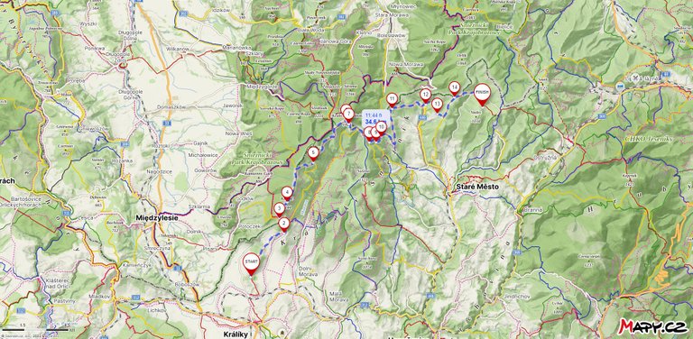
The first full day back on the trail was very nourishing. Both in terms of photographic opportunities and the difficulty of the journey itself. I walked 34.6 Km and overcame an elevation gain of 1353 meters and a descent of 1029 meters. Which was approximately a third of what one of the maps showed me for the entire fourth stage. So I understood that the original plan started to fall apart on the first full day.
První celý den po návratu na stezku byl velmi výživný. Ať už co se týče fotografických možností tak i náročností cesty samotné. Ušel jsem 34.6 Km a překonal převýšení 1353 metrů a klesl o 1029 metrů. Což byla přibližně třetina co mi jedna z map ukazovala na celou čtvrtou etapu. Takže jsem pochopil, že původní plán se začal hroutit hned první celý den.
There's so much variation in the landscape and surroundings during day, almost as if you're in vastly different areas in the country, yet you've just walked all the way from point A to point B to see all that.
By the way, the smoothie maker observation tower is kind of cool but looks a little odd, I much prefer the wooden bell tower
This is the main reason why I like to travel from point A to point B and then C and so on, because the landscape is constantly changing and there is always something to discover. Especially in places I've never been before.
Nice moments
Opět super.
Jak to máš s tábořením? Na většině území je zakáz táboření a stanování, tedy mimo vyhrazená místa.
Většinou tam kde se mi líbí, prostě vyznavam strategii dokud mě nechyti nemám problém. A ještě mě nechytili, takže to asi dělám dobře. Důležitý je zmizet brzo ráno.
Congratulations, your post has been added to Pinmapple! 🎉🥳🍍
Did you know you have your own profile map?
And every post has their own map too!
Want to have your post on the map too?
Seeing such beautiful sights, the heart of a person becomes very happy, as we see that there is greenery everywhere and there are stones of perfection, so a person is very happy to visit this place. And we all should go for relaxation once a month.
Daily Travel Digest #1970.
Become part of our travel community:
- Join our Discord
- Learn more about our travel application
Hiya, @LivingUKTaiwan here, just swinging by to let you know that this post made it into our Top 3 in Your post has been manually curated by the @pinmapple team. If you like what we're doing, please drop by to check out all the rest of today's great posts and consider supporting other authors like yourself and us so we can keep the project going!