The place I'm sharing with you today is from an adventure I went on a few months ago. The photos had been tucked away in my camera roll until now, and I finally got around to posting them.
I visited Pico do Lopo, located in Serra do Lopo, in Extrema (MG), right on the border between Minas Gerais and São Paulo. I believe it’s the highest peak in the region where I live, and it’s only about a 1h20 drive from my house. But that’s just the beginning! After arriving in the city by car, you still need to navigate some dirt roads to reach the top of the mountain, where you’ll park and continue the journey on foot.
The car park is at an inn that offers amenities like restrooms, a restaurant, and even chalets for those who want to stay overnight.
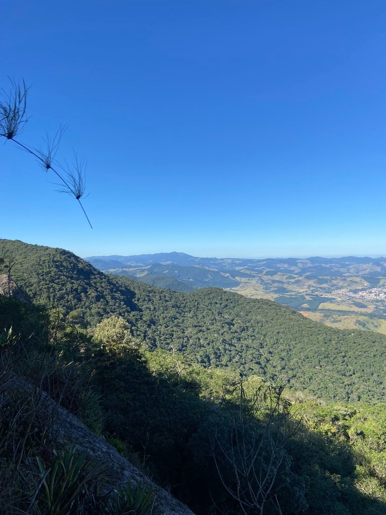
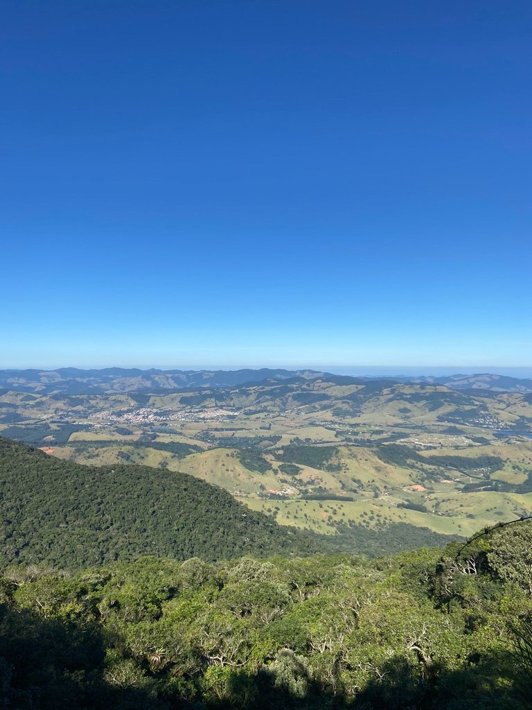
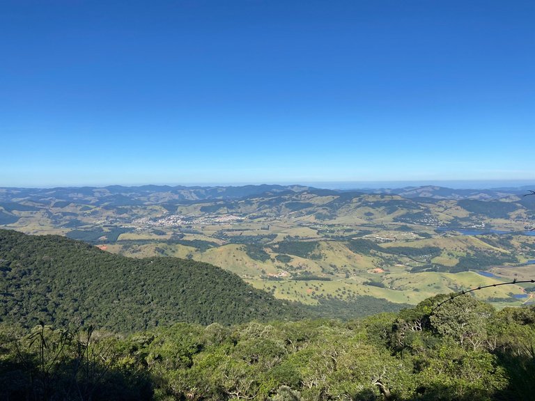
We decided to make it a day trip, walking the route and heading back home the same day. As soon as we started the ascent, we were already greeted with breathtaking views.
It’s been a few months since I hiked this trail, so I can’t recall exactly how long it took, but I do remember spending several hours walking steadily uphill to reach the highest point. The trail is partially enclosed in some areas but well-marked, making it hard to lose your way. Plus, as it was a Saturday, there were plenty of other hikers on the same route, heading both up and down the peak.
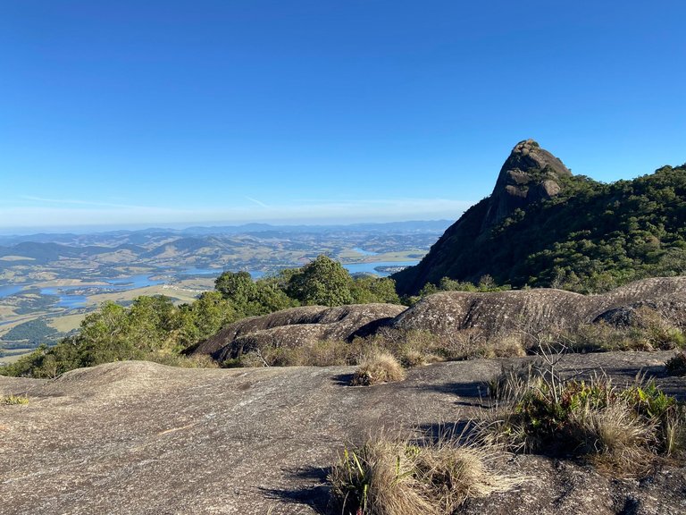
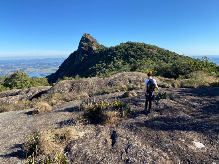
After the first few hours, the trail brings you to the top of a mountain with an incredible view of the peak itself. If you’re determined to reach the very top, be prepared—it’s about another hour of walking from there.
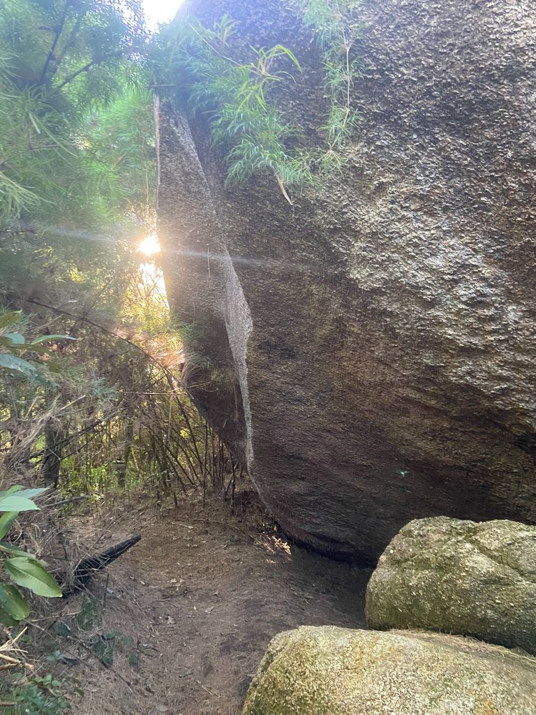
Although I was already a bit tired, we left home with one goal: to reach the top. So, up we went. From this point on, there are sections that require more technical skills, including climbing rocks with supports placed to make it easier for those who venture through this part of the trail.
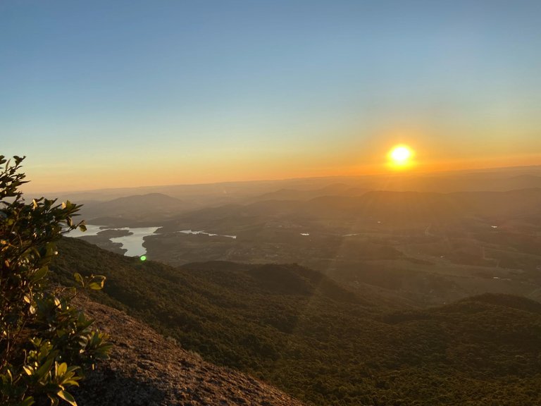
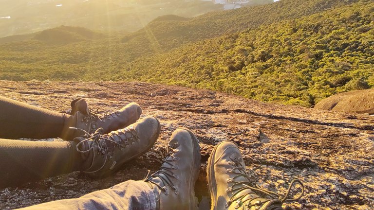
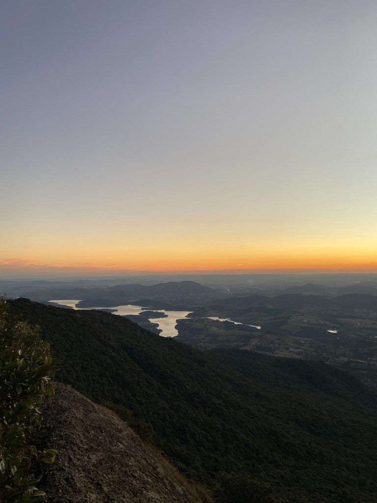
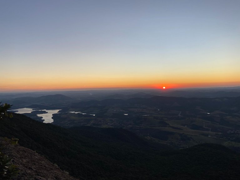
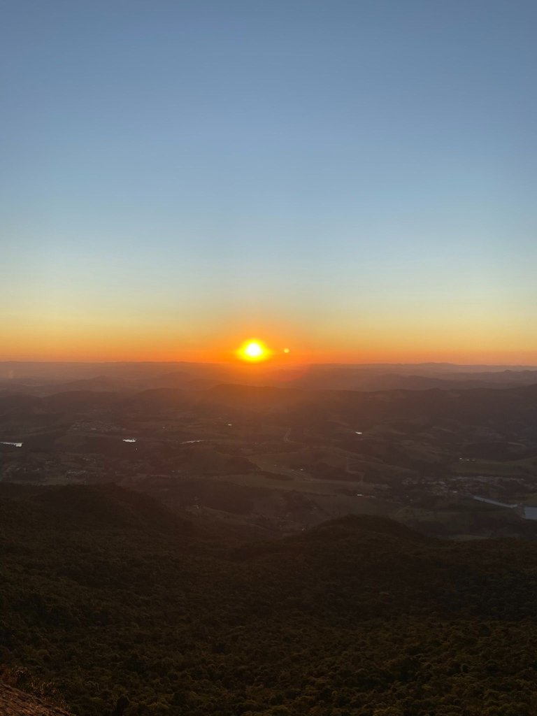
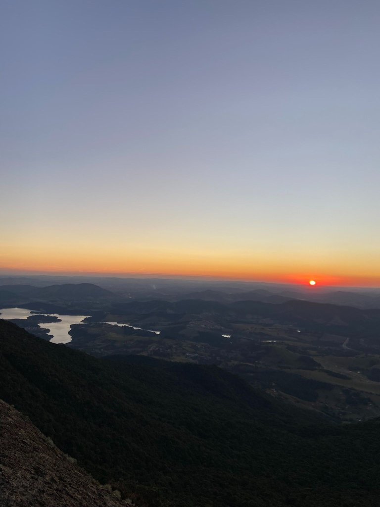
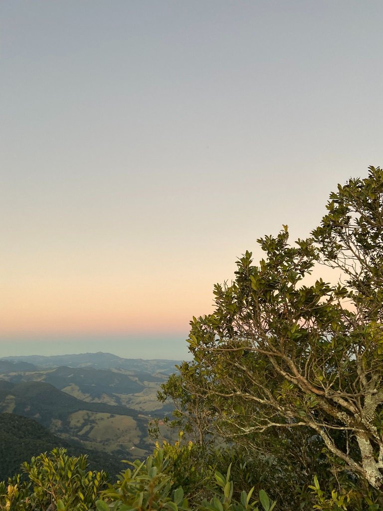
When we reached the top, it was time to rest, have a snack, and enjoy one of the most beautiful sunsets. Then, we got ready for the return journey.
On the way back, we descended entirely in the dark, relying only on our flashlights. Despite the darkness, it was very peaceful, as we crossed paths with travelers heading up, making their way to camp at the top and watch the sunrise the next day.
It’s also a popular spot for climbing enthusiasts, as there are several rock walls that are perfect for the activity.
I hope you enjoyed exploring this destination as much as I did. :)
//:# (!worldmappin -22.88313 lat -46.31072 long d3scr))
You can check out this post and your own profile on the map. Be part of the Worldmappin Community and join our Discord Channel to get in touch with other travelers, ask questions or just be updated on our latest features.
You had many interesting and beautiful moments while trekking, and the photographs were very beautiful. Best wishes to you.