Hundreds of Lower Austrian municipalities established "Schrittewege" together with "Tut gut", an initiative of the Lower Austrian federal government.
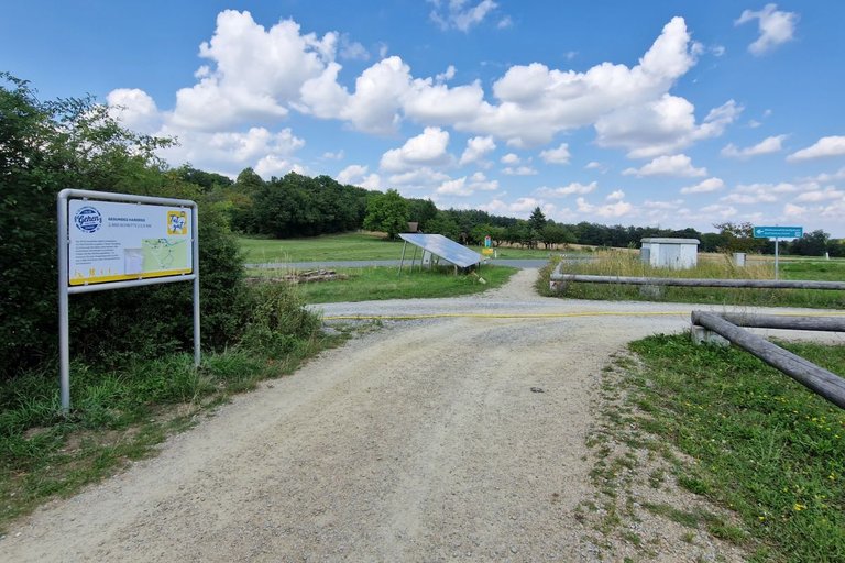
The "Schritteweg" of Hardegg starts at the National Park House of the Thayatal National Park. Probably his National Park should rather be called "Transnational Park", because this National Park is partly in Austria and partly in Czech Republic.
But at this walk you stay in Austria. By the way, Hardegg is located at the border of the Lower Austrian quarters "Waldviertel" and "Weinviertel". Geologically, Hardegg belongs to the Waldviertel. The town is also member of the Waldviertel Tourist Organisation. Politically, Hardegg belongs to the district of Hollabrunn and thereby is part of the Weinviertel. Hardegg is also part of the wine region Weinviertel.
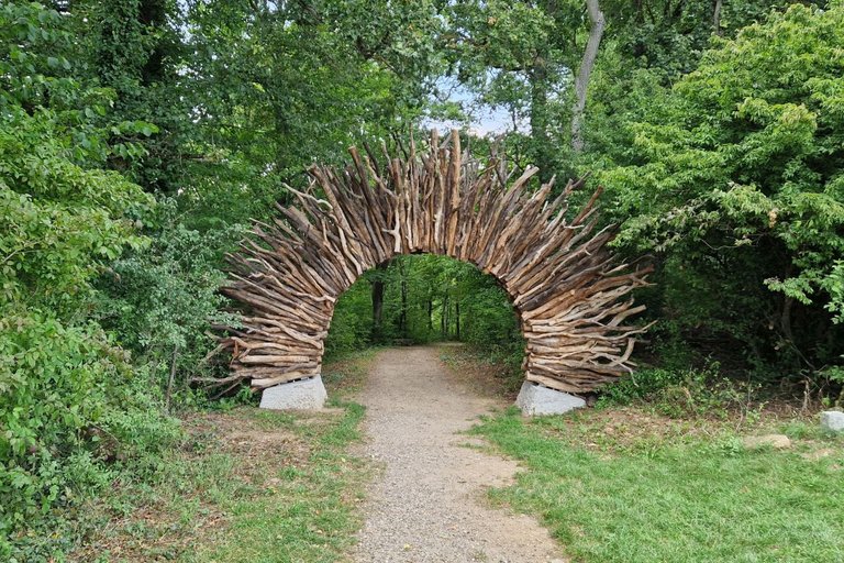
After crossing the road you walk through this amazing "entrance" and enter the National Park and the wood. Please remember that you are not allowed to leave the paths in the National Park and that dogs must be kept on a leash.
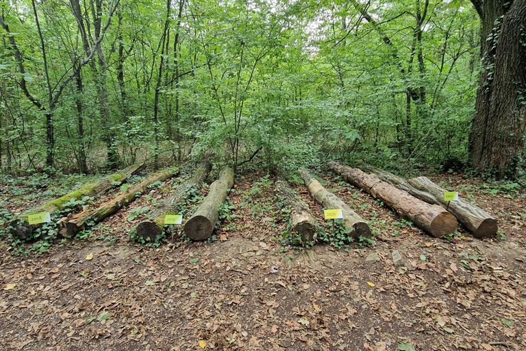
There are also information boards and other educational elements alongside the path. Here you can see how nature "takes back" felled tree trunks.
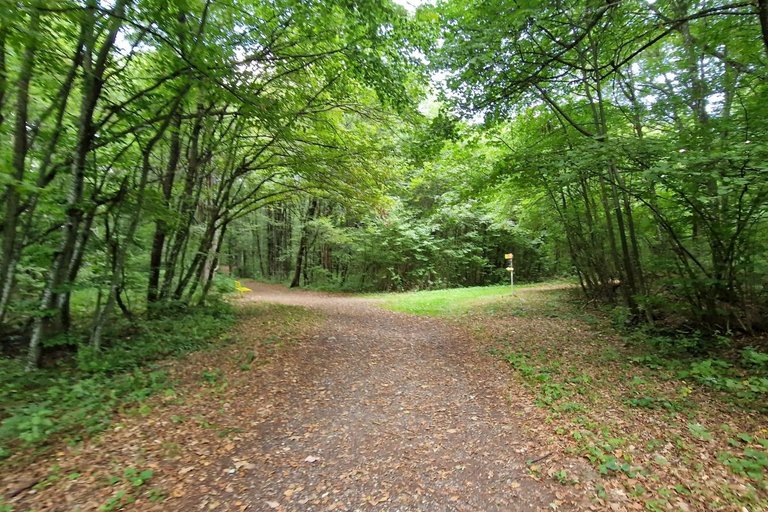
At a clearing you have to turn left.
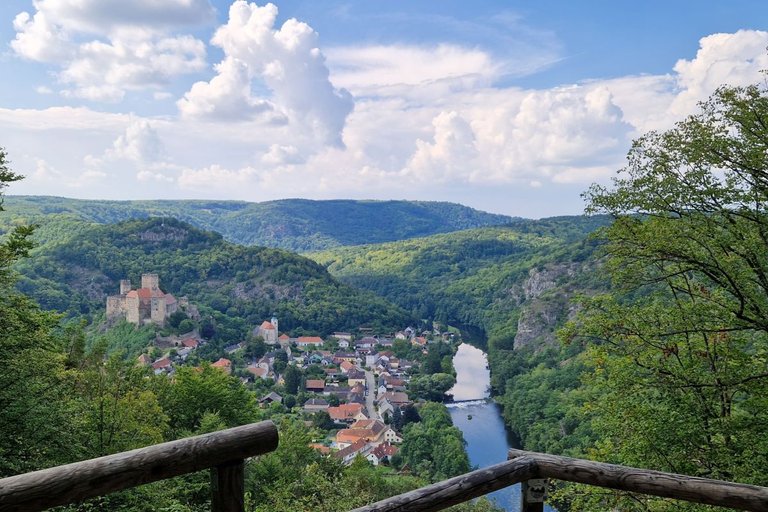
Soon you will reach a lookout point. Here you can enjoy a wonderful view on the old town of Hardegg, the castle and the river Thaya.
Hardegg is often called "Austria's smalles city". That is not wrong, but not very exact. Dürnstein in Wachau for example, has less inhabitants. The total area of the municipality of Hardegg is almost as big as the one of Paris. So, why do they call it the "smallest city"?
It's because the name-giving cadastral community Hardegg which consists of the old town and the "Vorstadt" (suburbia) has only 84 inhabitants.
Fun fact: From 1969 to 1975, several communities around Hardegg were incorporated in the city of Hardegg. The name stayed "Hardegg", but Heufurth became the administrational center of the now bigger city. In 1987 the administration moved to Pleissing. The now bigger city consists of 9 cadastral communities but still has only a little bit more than 1,300 inhabitants.
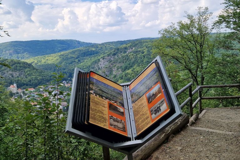
However, Hardegg stayed the cultural center, has a nice museum and a history that goes back to 1145. In a book placed next to the lookout point you can read everything about the little city's history.
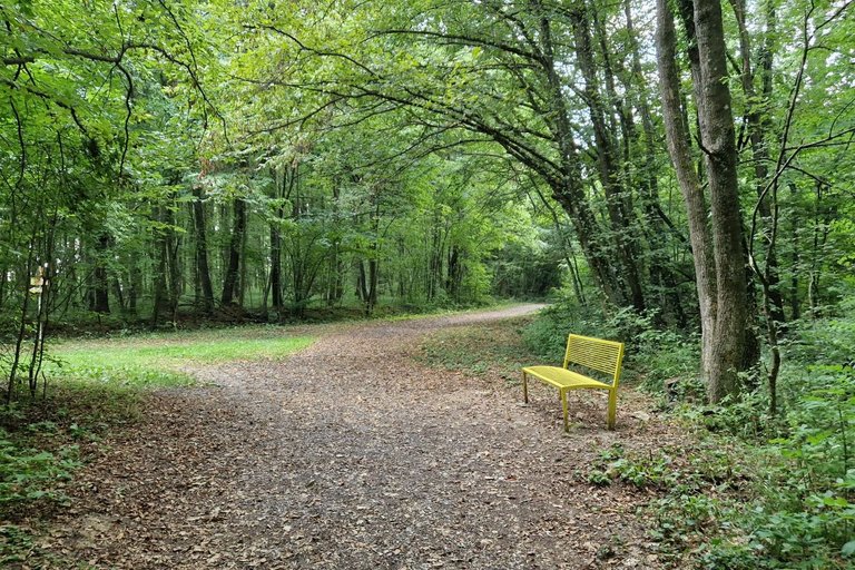
But now we go back to the "Schritteweg" which leads back to the clearing. Here you turn left now.
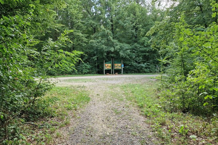
At the end of the way you have to turn right.
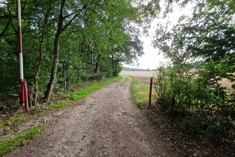
Soon you will exit the National Park.
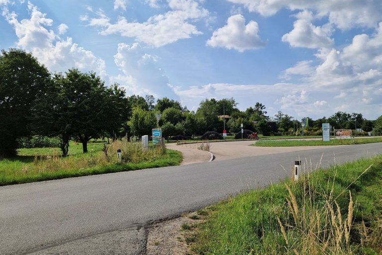
After a short walk between fields and the wood you will reach the road again. Now you just have to cross the road to get to the National Park House again.
Information on the National Park - also in English language - can be found on np-thayatal.at.
The official description of the "Schritteweg" can be found on noetutgut.at
GPS data can be downloaded here
Congratulations @schmatz! Your post made the TravelFeed team happy so we have sent you our big smile. Keep up the good job. 😃
Thanks for using TravelFeed!
@for91days (TravelFeed team)
PS: Why not share your blog posts to your family and friends with the convenient sharing buttons on TravelFeed?
Congratulations, your post has been added to Pinmapple! 🎉🥳🍍
Did you know you have your own profile map?
And every post has their own map too!
Want to have your post on the map too?