One of the reasons everyone wants to live in Southern California is you can go from the beach to the mountains in 30 minutes. On Saturday I went hiking in the closest mountain range to the beaches, The Santa Ana Mountains, to find some peace and quite.
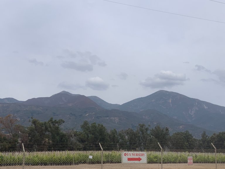
There is a dirt road that goes far back into the canyon to Saddleback Mountain, which resembles a horse saddle, shown in the picture above. I had never driven all the way back, so I decided Saturday would be a good time to check that off my list.
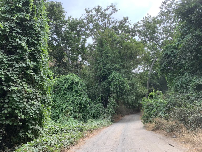
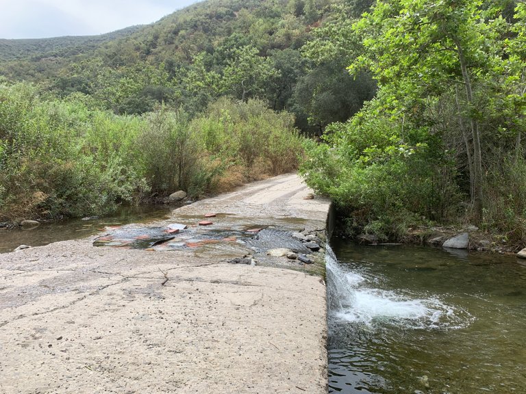
The road used to be treacherous past a the first water crossing, but major repairs have been made to the road since I was back here last about 10 years ago. Some proper, some not so much.
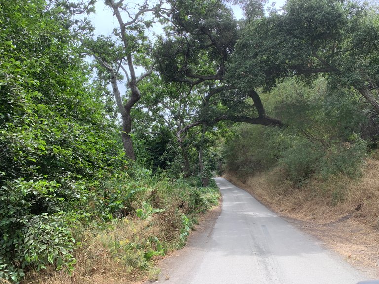
I was in a high clearance truck so I wasn't worried about a pot hole or two.
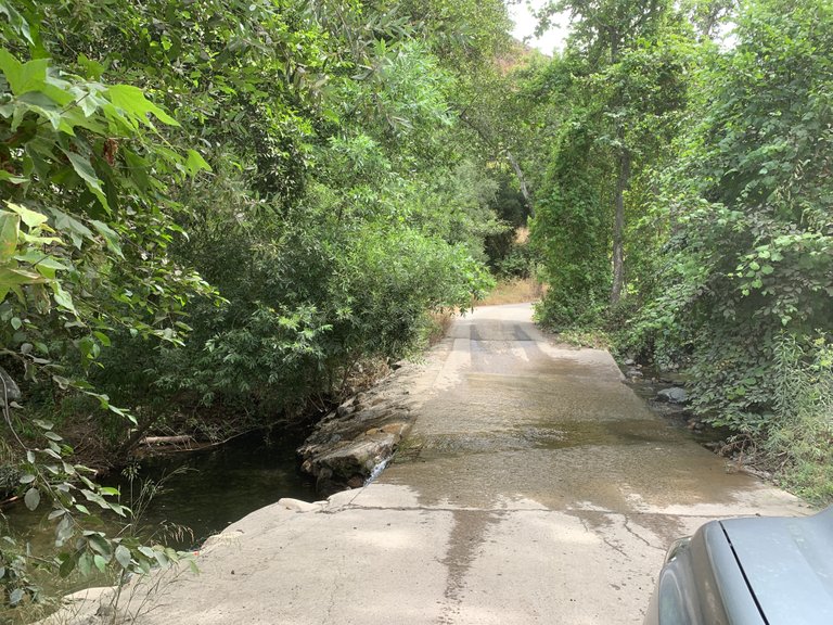
A second crossing.
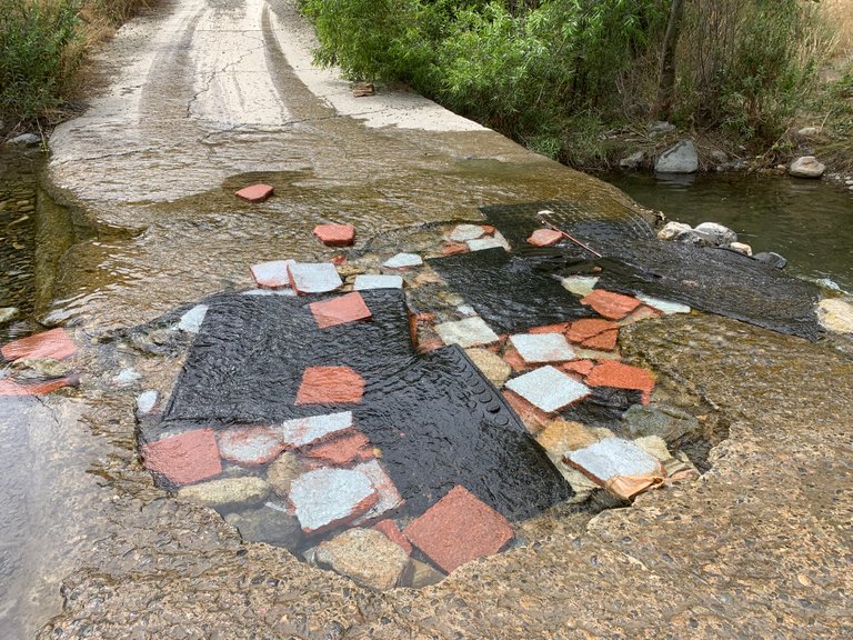
Parts of the road were still paved with concrete.
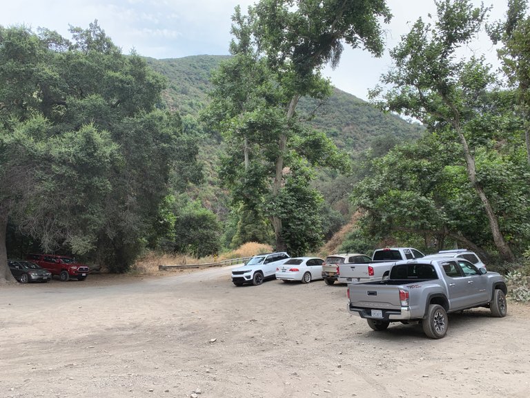
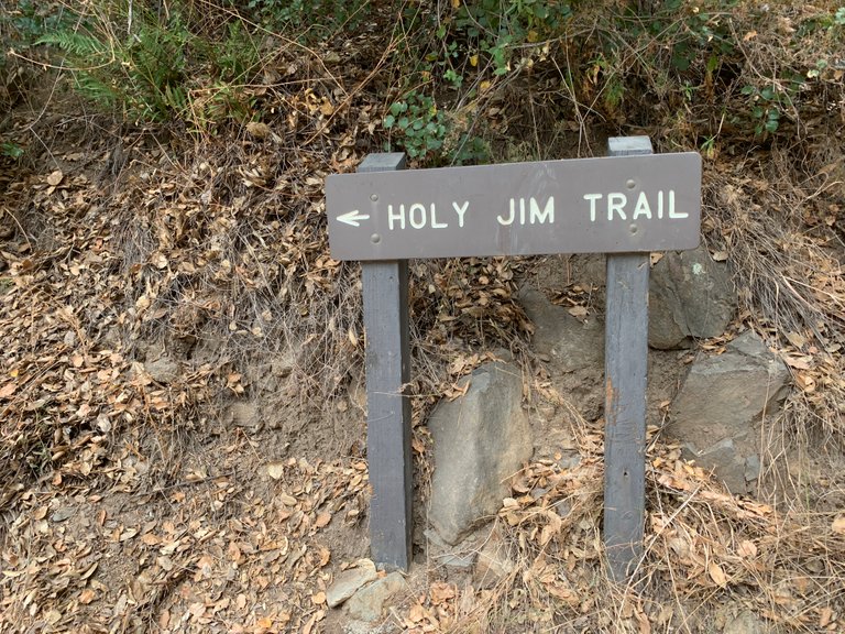
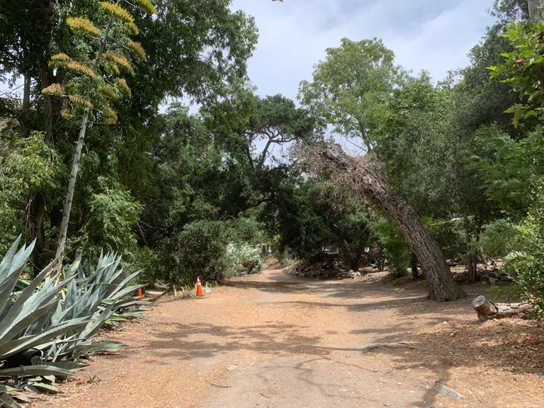
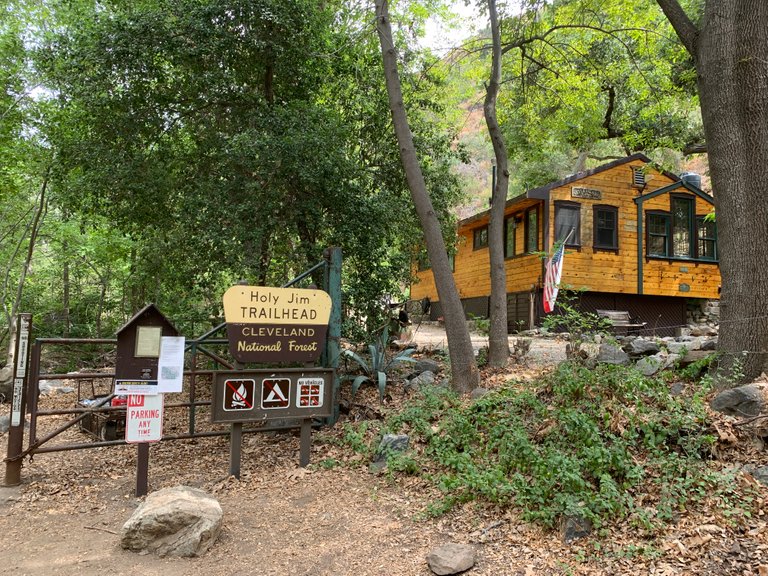
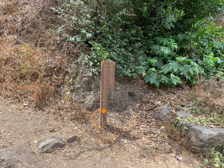
When I reached the end of the public road I got out and found a sign for the Holy Jim Trail. There were quite a few cars there, even some low clearance vehicles!
I hadn't planned on really hiking, I just wanted to do some off-roading to see where the road would lead me to. When I saw the sign for the trail I knew I had to keep going to see the falls.
I packed a few bottles of water in my backpack, rock hammer and started up the trail.
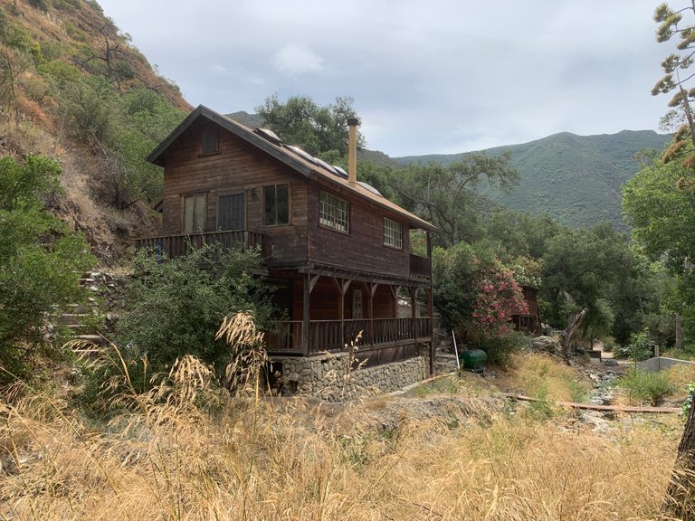
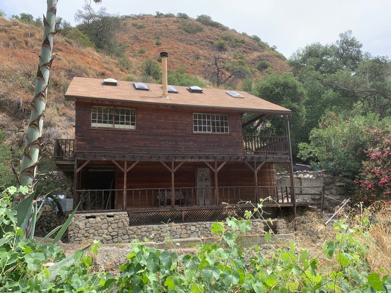
As I headed up the road/trail I came across several houses/cabins.
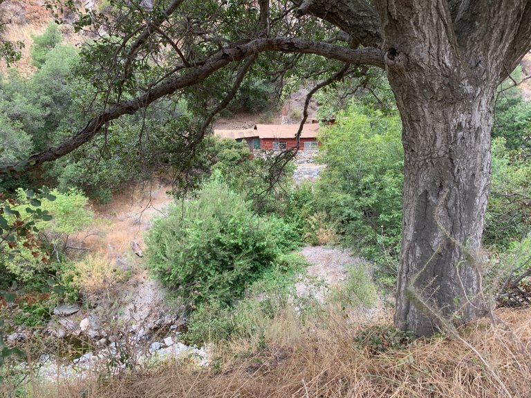
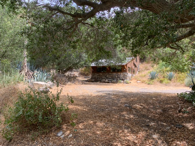
This small community dates back to the early 1900's when Orange County residents decided to build cabins up here.
Some looked like they hadn't been used in years.
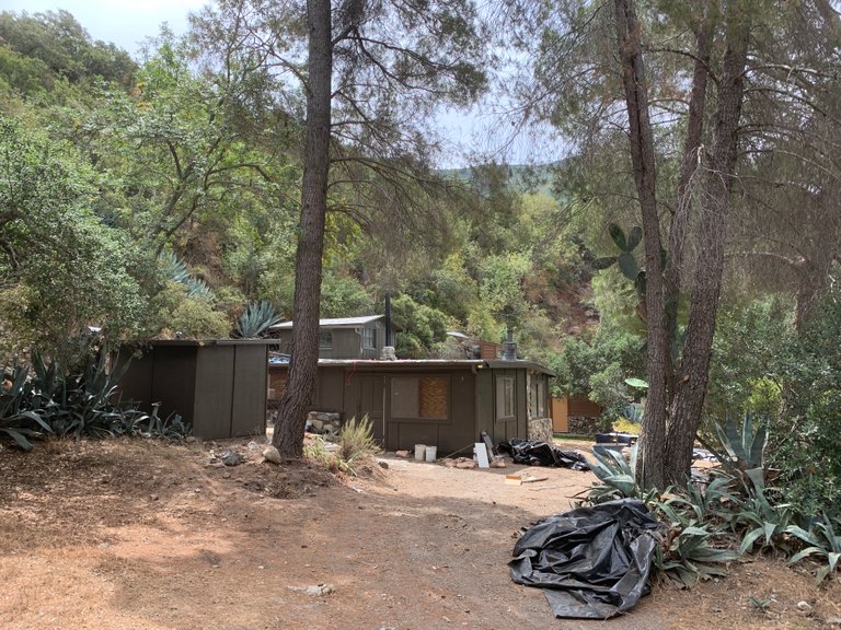
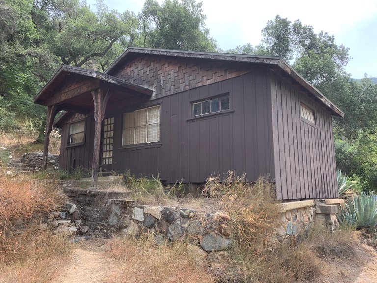
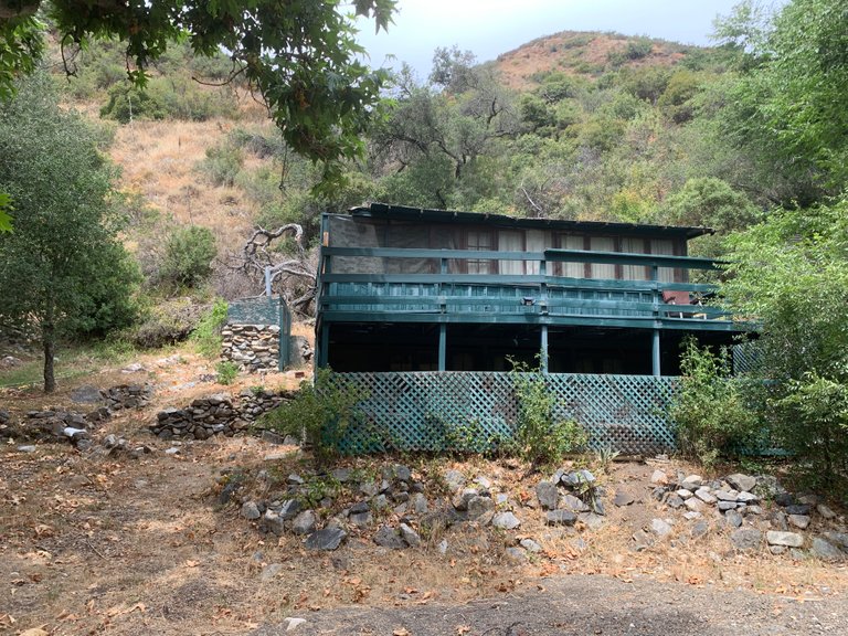
Some looked like quite nice, perhaps an Air-BnB?
The original resident of this canyon was a man known as Holy Jim. He got the nickname because he taught sailors how to swear. His vocabulary was littered with a word or two in between his profanity. Instead of the locals calling him Swearing Jim though, they decided to call him Holy Jim instead. Perhaps leaving out the "shit" after Holy.
Anyway, Jim lived about 3 miles up the canyon beyond the spot where the cabins are.
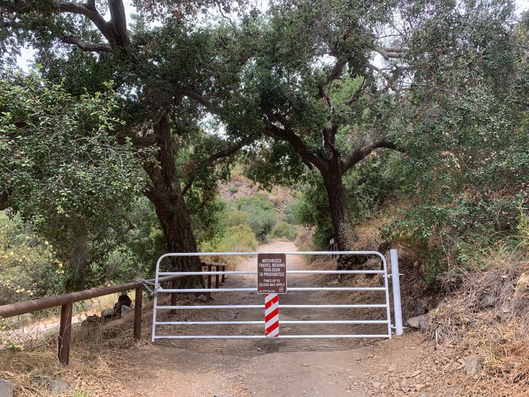
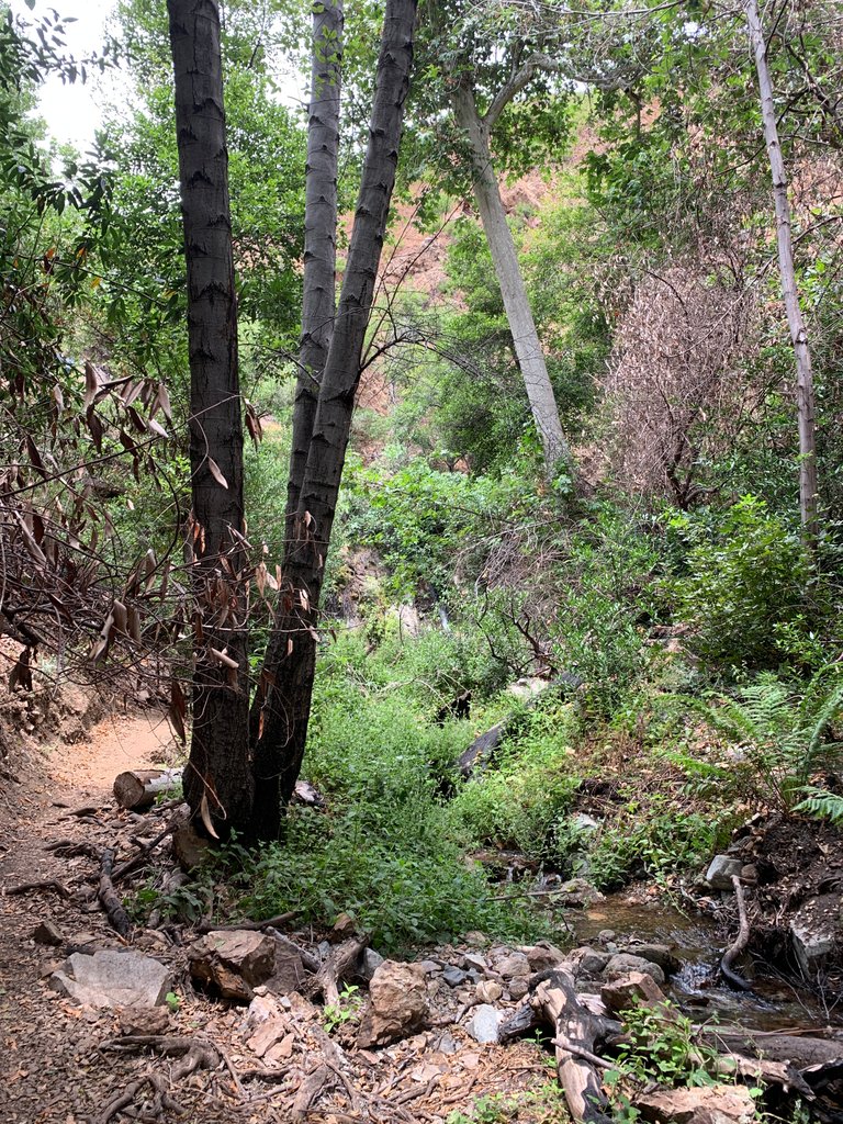
After passing 20 or so cabins you reach the actual trail head and the hike begins.
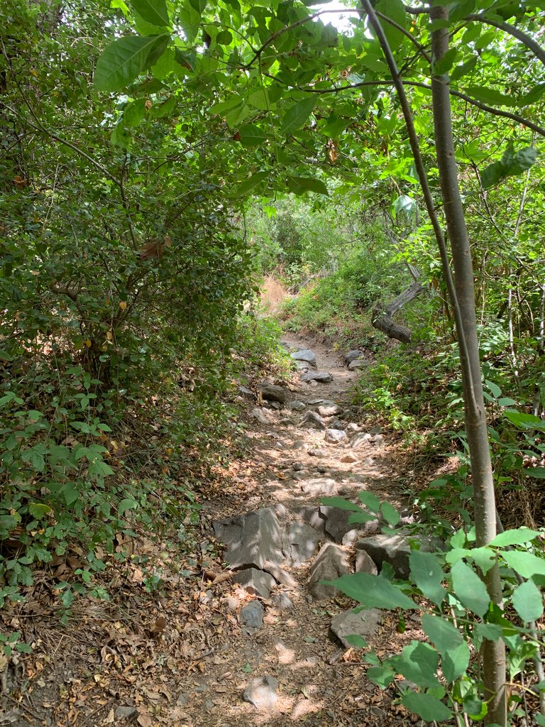
It quickly becomes overgrown with bushes & trees because of the large amount of rain California had this year. That, and the trail follows a stream up to the waterfall.
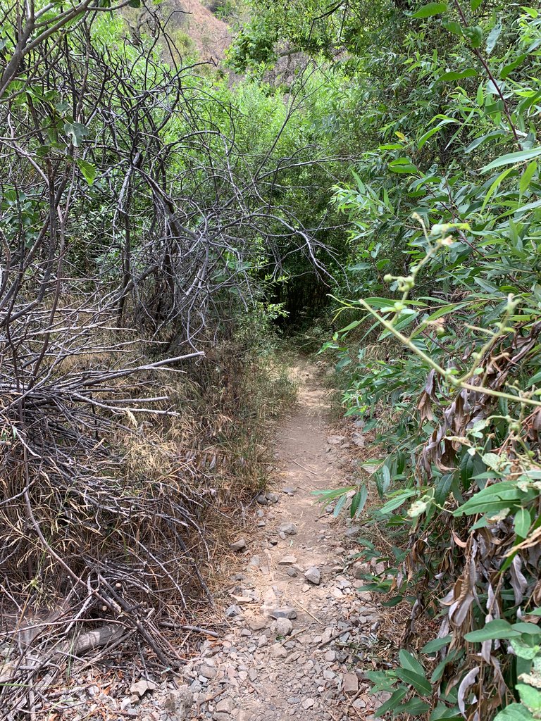
Why this is a concern is there are about 24 known mountain lions that roam these mountains. That was one of the reasons I brought my rock hammer. That and a large walking stick I found would be enough for me to fend of one.
The trail opens up quite a bit too which put me at ease.
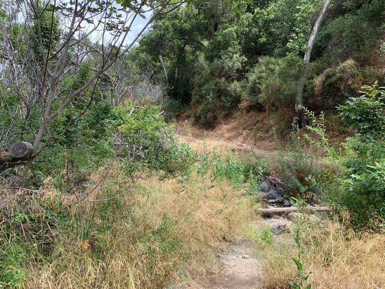
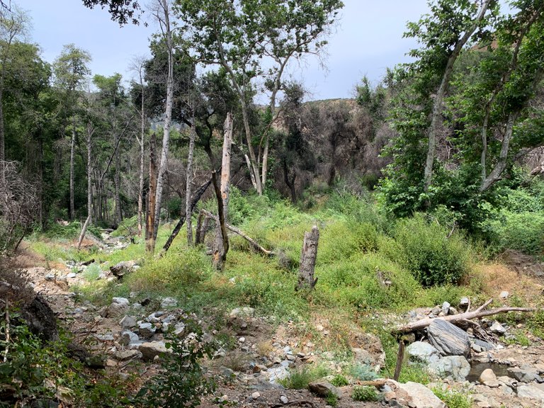
After about 30 minutes I reached Holy Jim's residence. There's nothing left, just a large opening in the canyon where two canyons meet.
Sometimes I can't understand old timers like Holy Jim because the effort to get up this far in the canyon, especially if you were hauling supplies up and down, just seems like too much work.
A marker noting a split in the trail just past Jim's spread.
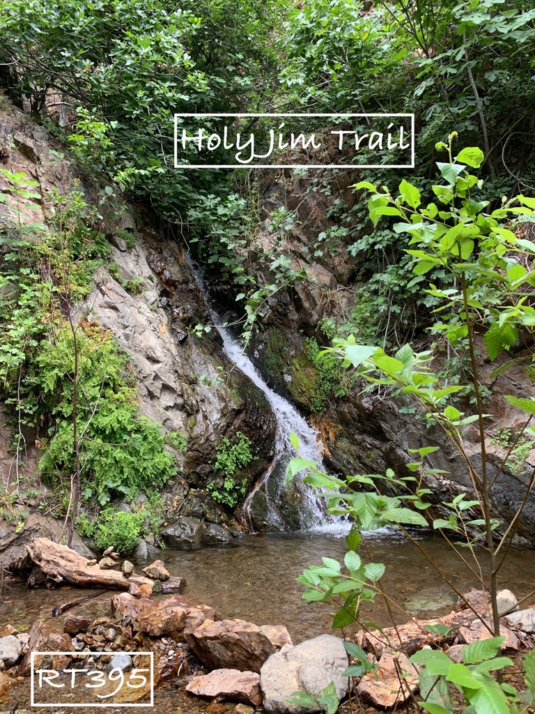
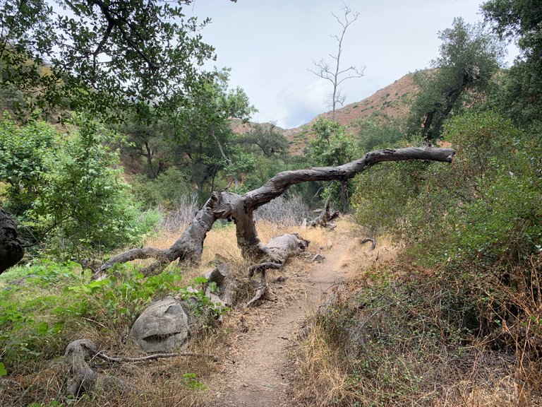
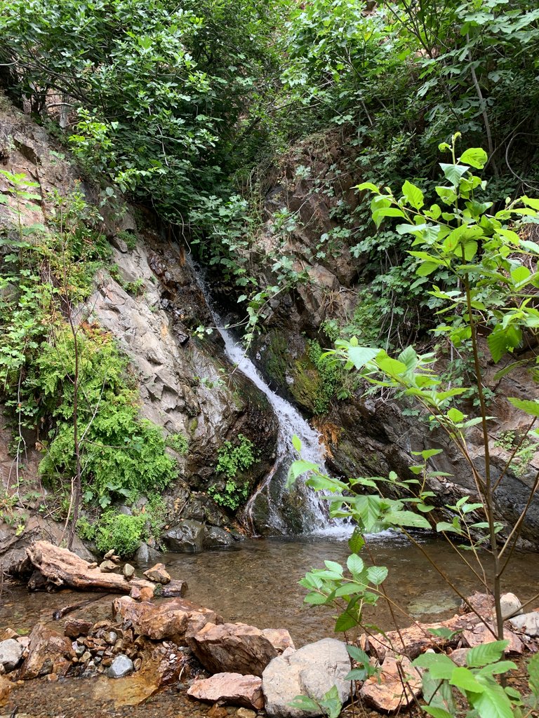
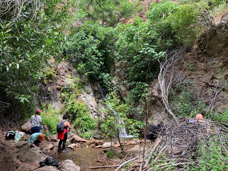
About 10 minutes past that marker and you make it to the falls.
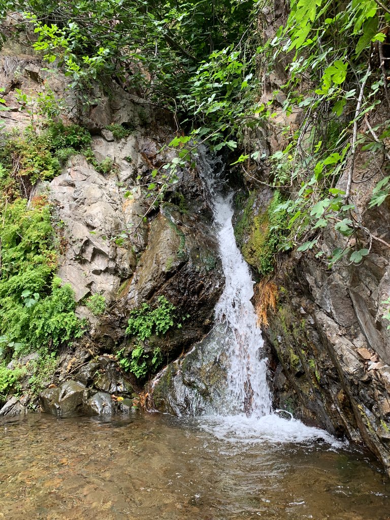
Other travelers have built a rock walled pool for people to take a dip in.
It was refreshing to splash water on my face to cool down from the hike, but I didn't wade in.
Several other people were there as well. It's always comforting to run into groups of people when you are out hiking alone.
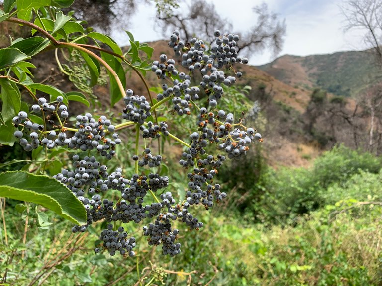
After talking to the other hikers for a few minutes I began my decent. I noticed this bush that looked like blueberries.
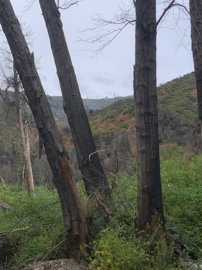
One last look back towards the falls. Look in between the trees and you can see the communications & Forestry Service towers on the top of the ridge. They are famous landmarks that can be see from much of Orange County.
The hike is about 3 miles from trailhead. It took me about 1 hour up and 30-45min down. It's fairly easy as the trail is heavily traveled and there are only a few steep areas. There were several children on this route up and down so I think anyone in decent shape could easily handle it.
You can find detailed information about the Holy Jim trail at the US Forestry Service site here -https://www.fs.usda.gov/recarea/cleveland/recarea/?recid=47628
Thanks for reading!

this place looks scary and mesmerizing at the same time😍
Yes, a very good description. Thanks!
It is a great blessing that a city has a short distance from the forest and mountains. Such forest environments fascinate me and I like to record beautiful pictures and take photos in different seasons.
Thank you. It is a blessing to have the ocean, the mountains and the desert all very close.
Congratulations, your post has been added to Pinmapple! 🎉🥳🍍
Did you know you have your own profile map?
And every post has their own map too!
Want to have your post on the map too?
Hiya, @choogirl here, just swinging by to let you know that this post made it into our Honourable Mentions in Daily Travel Digest #1974.
Your post has been manually curated by the @pinmapple team. If you like what we're doing, please drop by to check out all the rest of today's great posts and consider supporting other authors like yourself and us so we can keep the project going!
Become part of our travel community:
Thank you @choogirl !