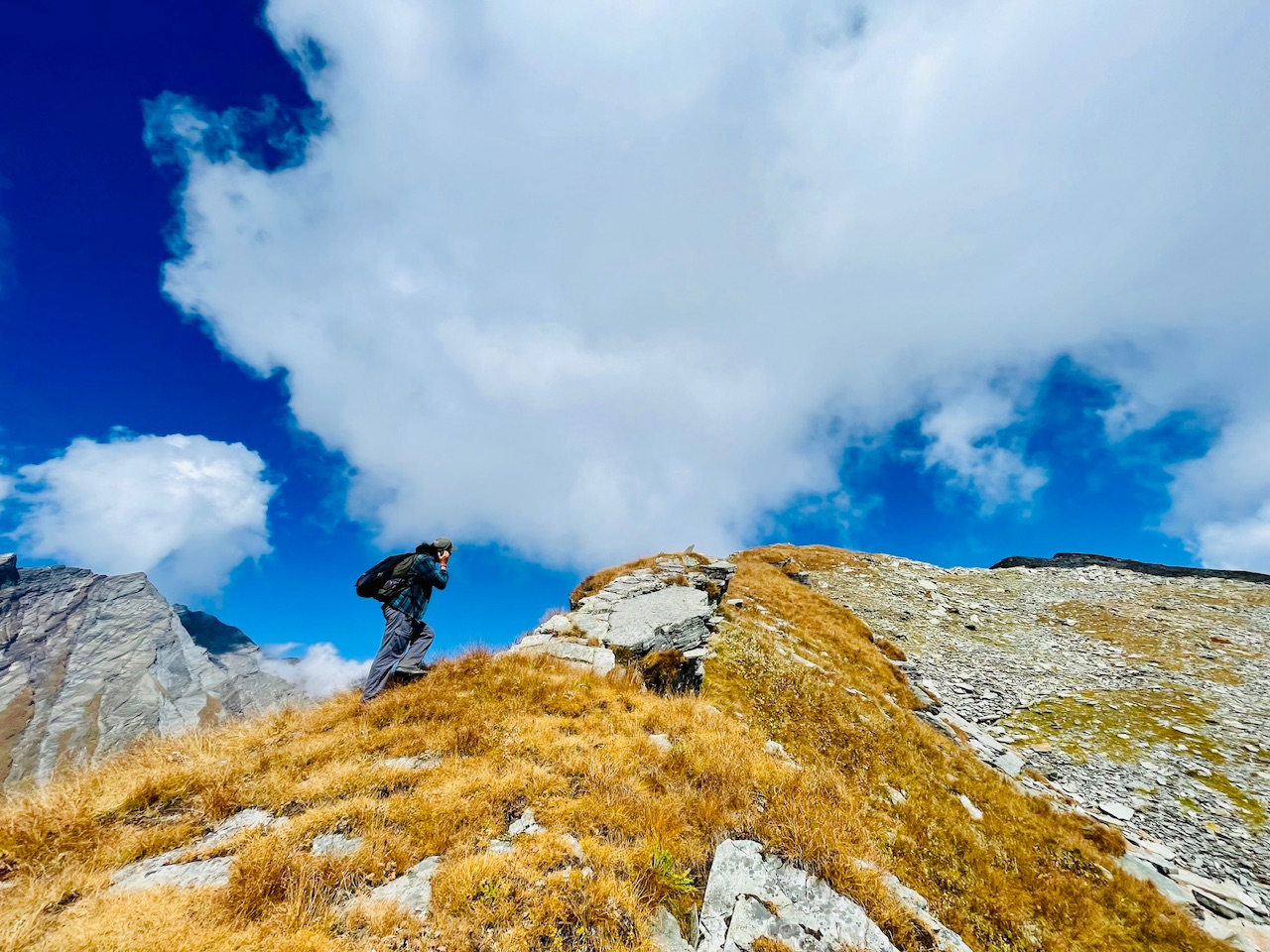
Touching the Sky, Maybe the Top of the World where we were at the point.
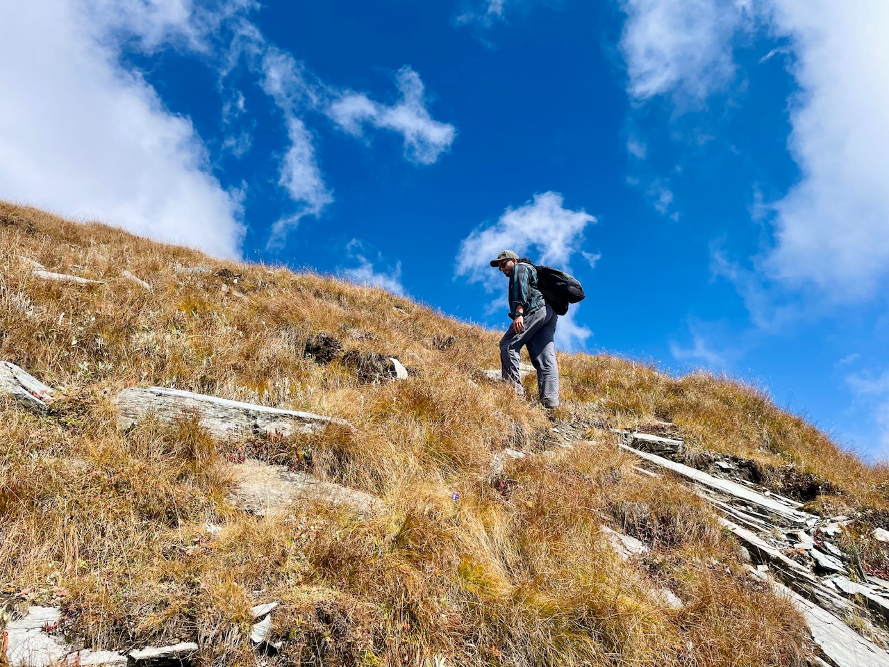
Julley Everyone,
A wonderful day out here wondering in the Peaks of Pir Panjal Range, Somewhere in the opposite of Patalsu Range of Solang Valley.
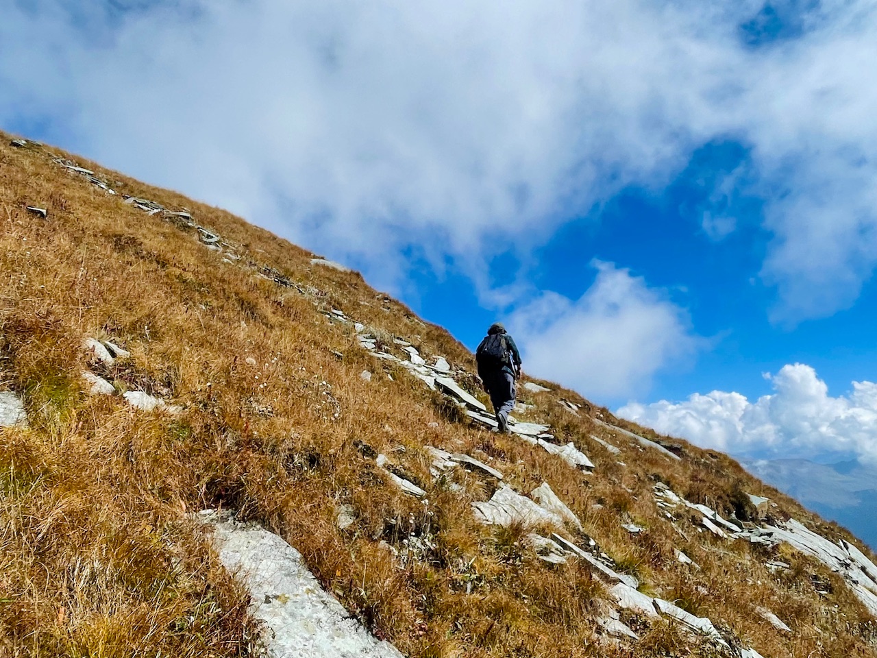
We had a thought that why not explore the place, the peaks on a different side of the mountain and try to wonder and capture the unexplored peaks.
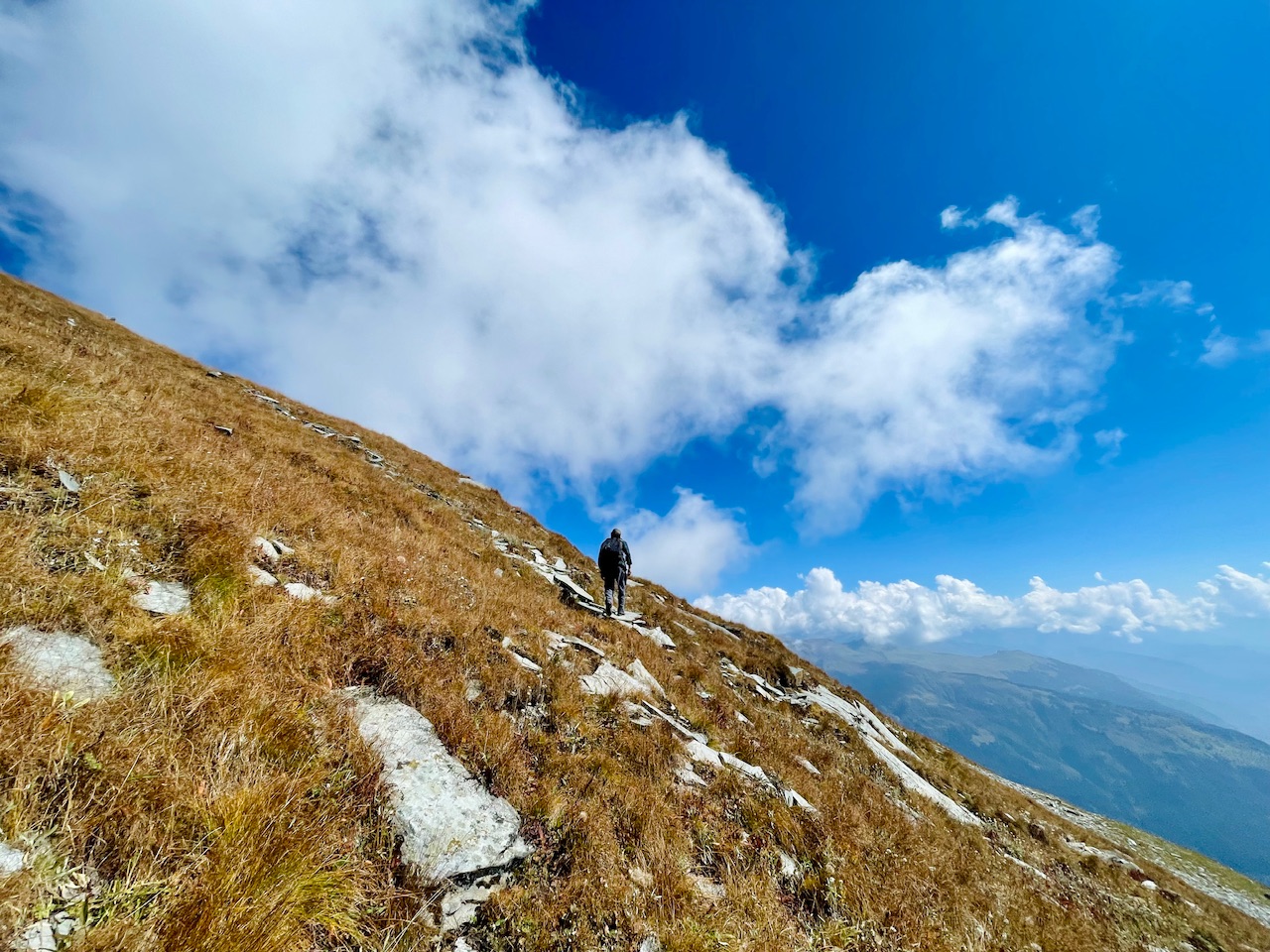
So did we, without thinking much and worrying about anything we attempted a day summit to the unknown peak in the Pir Panjal Mountain Range.
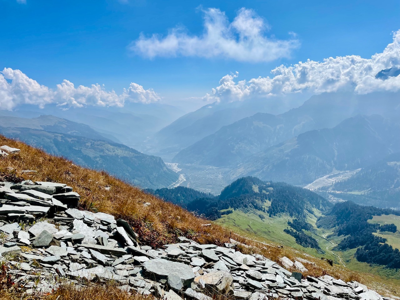
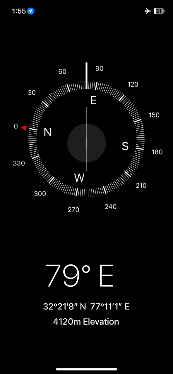
I tried checking and looking for the direction that whether were we at the right direction where we saw the summit from the location below. We were at an altitude of about 4100m above the sea level.
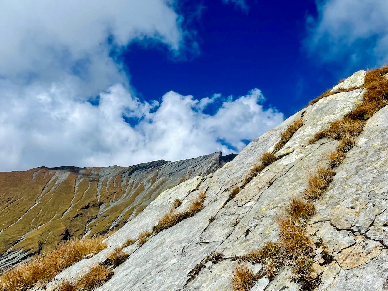
All that we cloud see were the endless trails that too with the endless rocks and just the sky right in-front of us that we could touch it. But as more we were covering up the distance more further was the summit seemed to be.
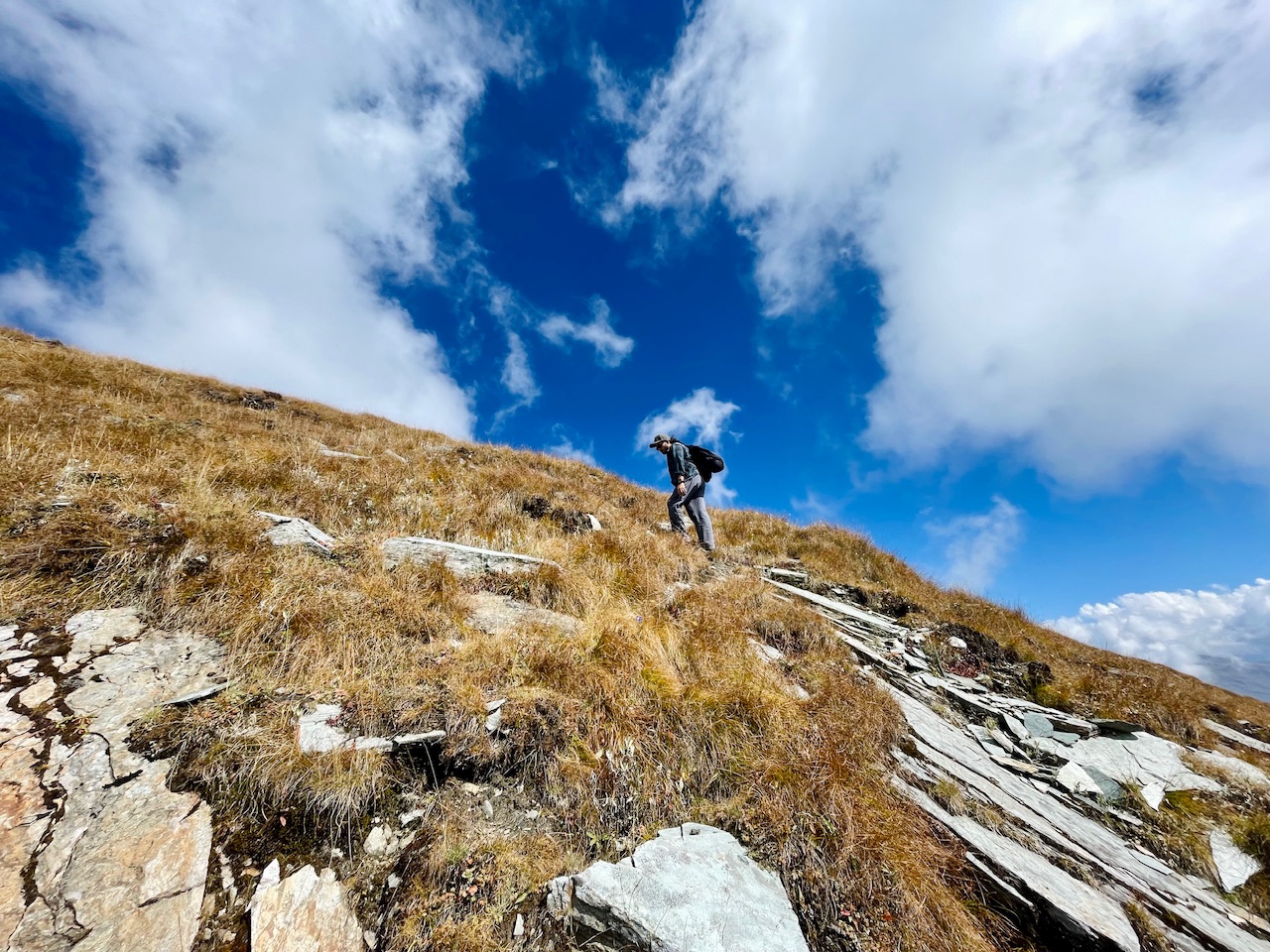
Like an endless journey. Till now we had been hiking for more than six hours straight. And we too did not even had carried any equipment too. Tents etc so that in case of any emergency we had to pitch our tents and like that. We thought that only the few days of these in year is right before the fall/winter season when all of the snow is melted and there are few days when this place is all dry.
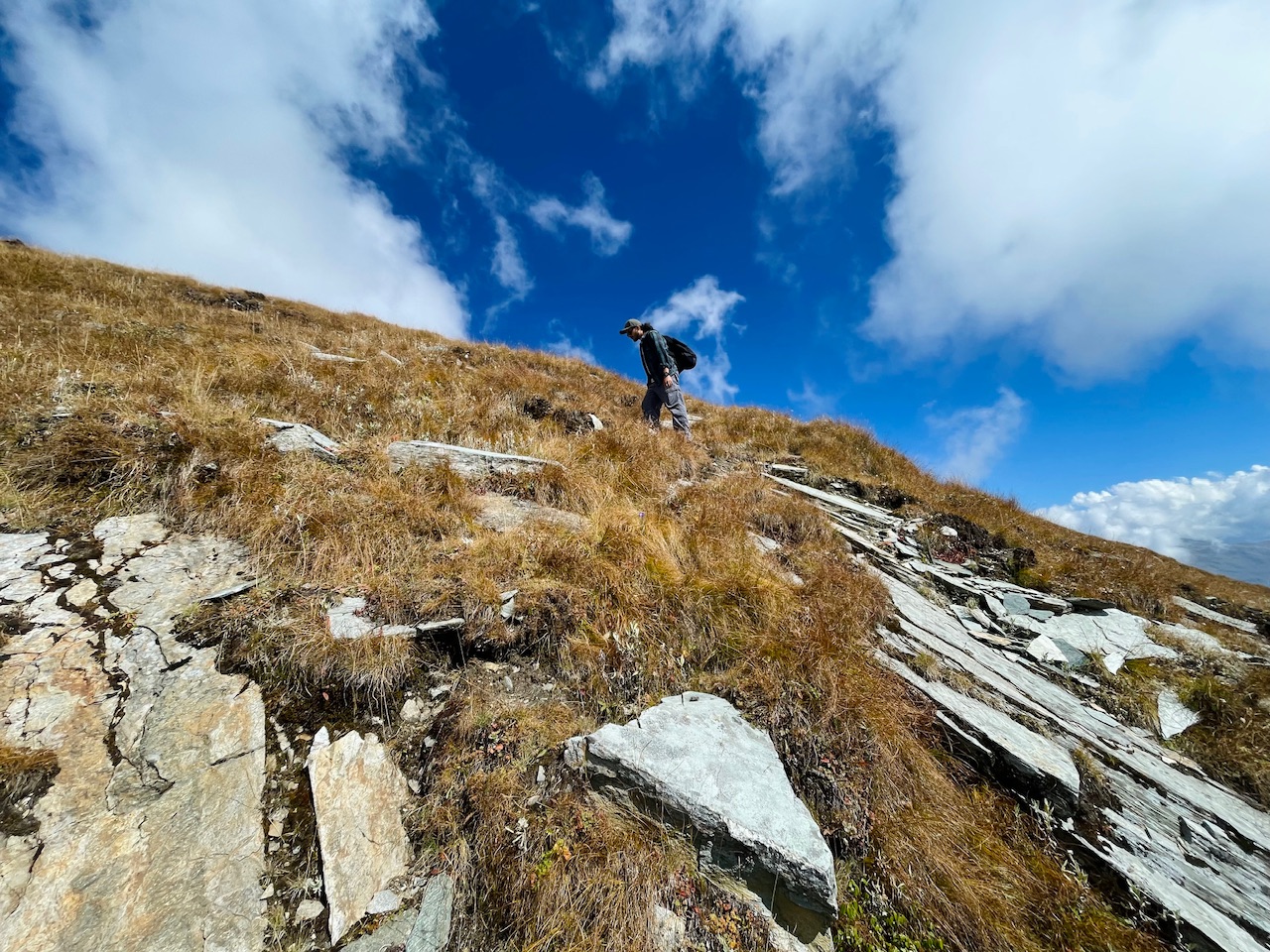
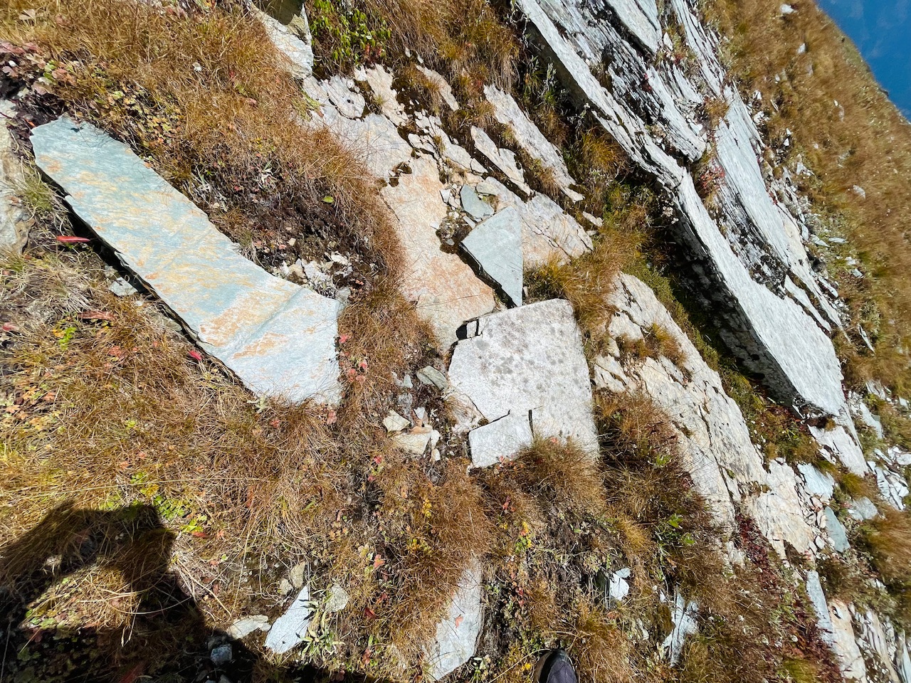
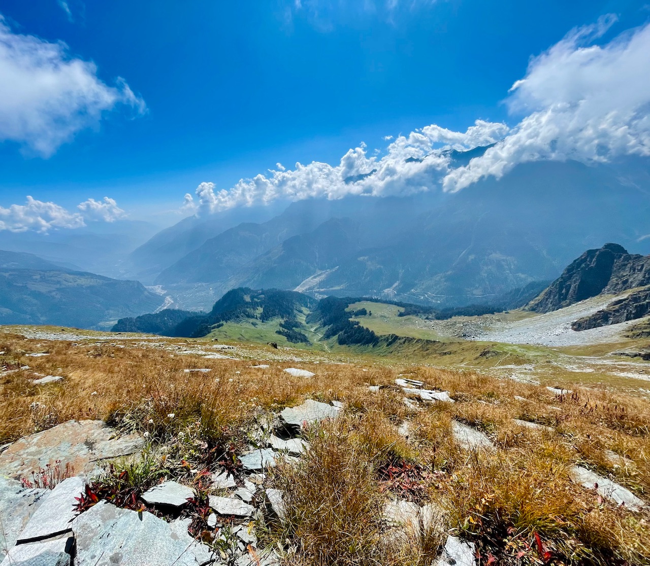
The elevation of the hike was quite tiring enough that we were able to reach maybe half the way mid point.
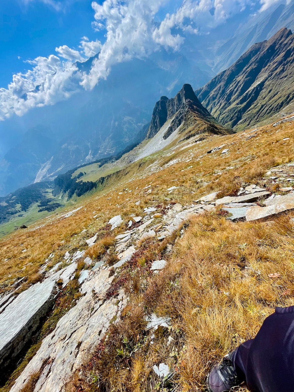
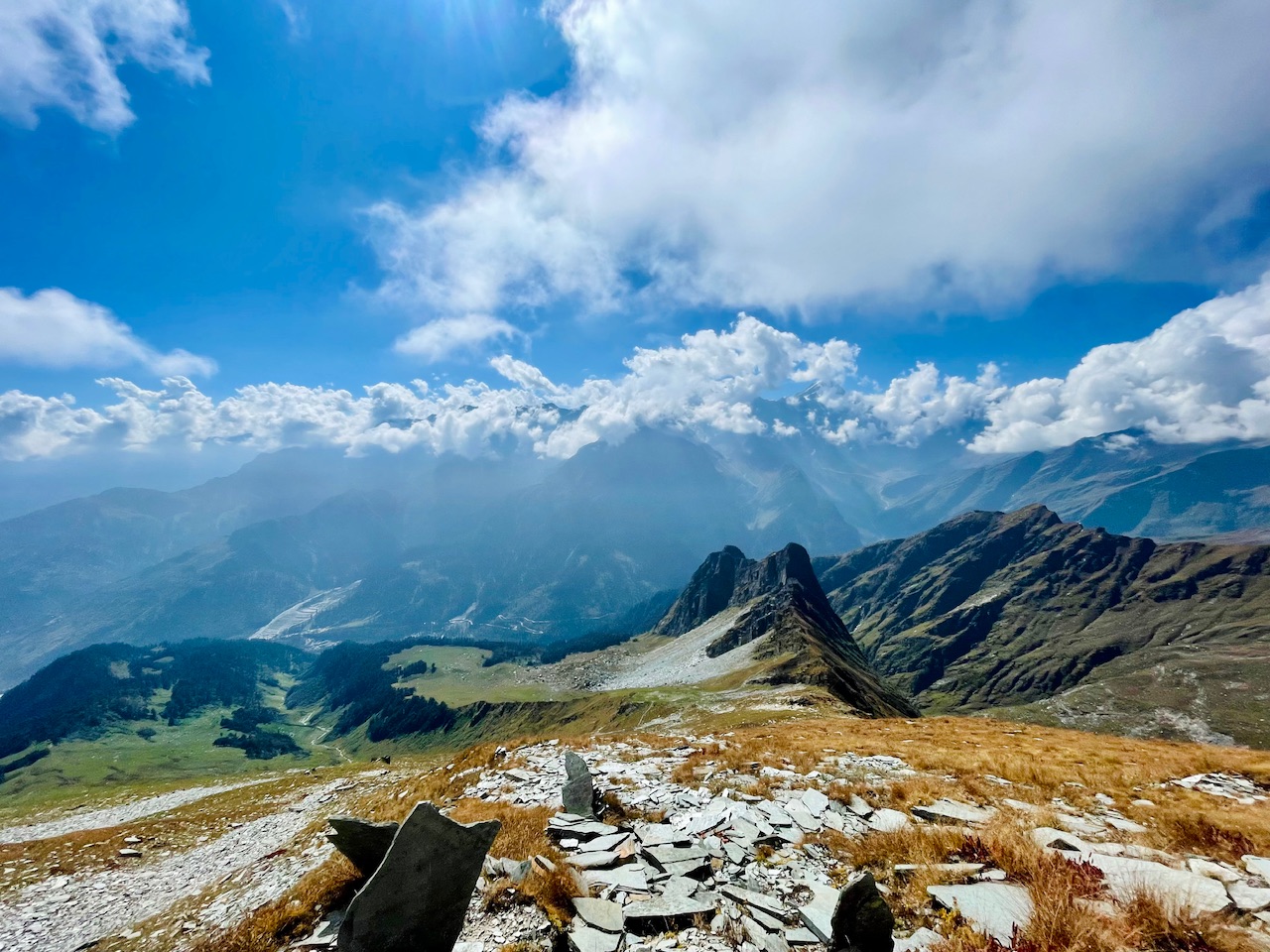
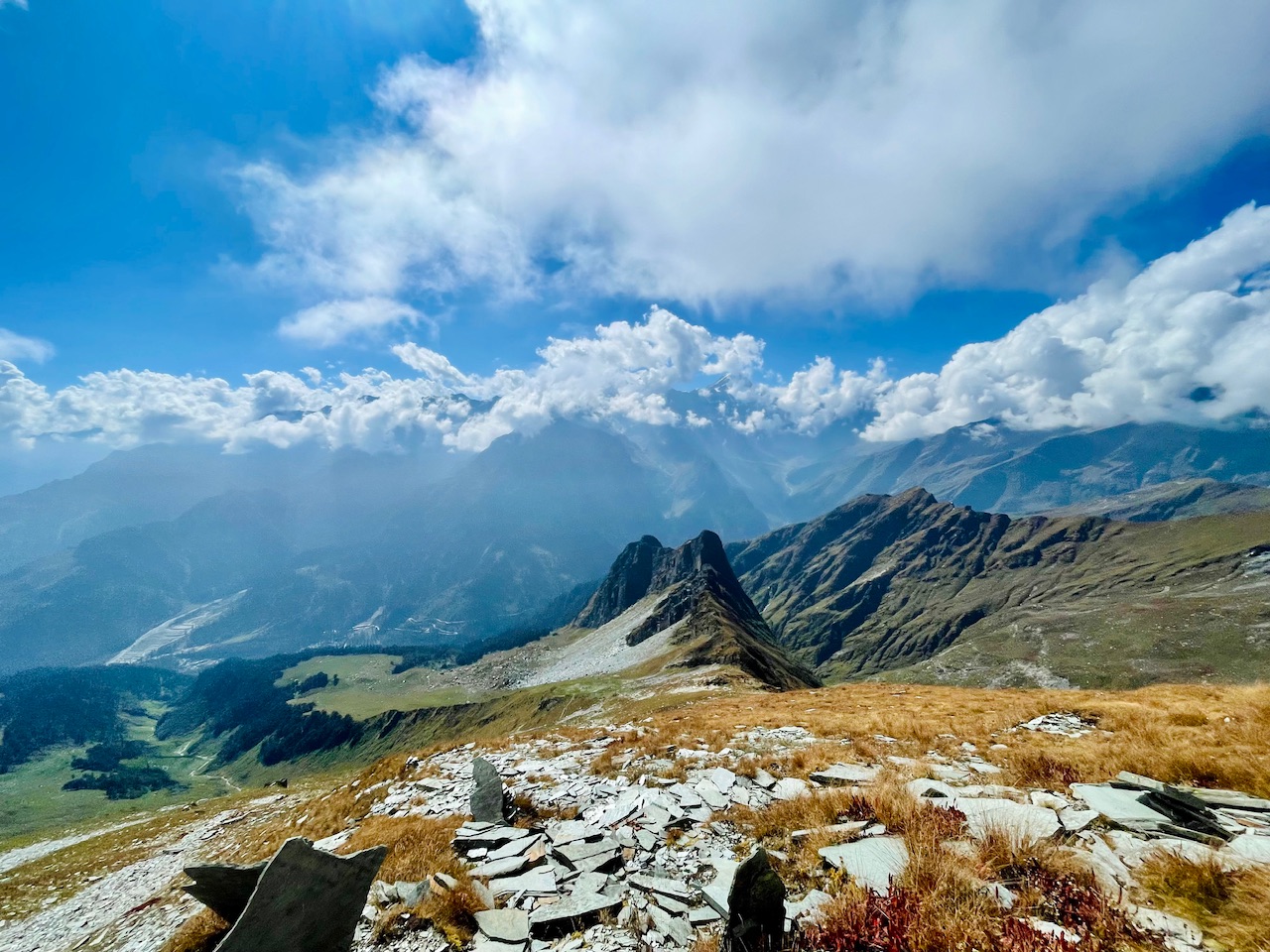
It was the mountain peak which was seemed like something a shape of a dragon so calling it the dragon peak. It was a narrow ridge but at a really very steep height. Though it was seemed to be at a lower elevation from here but actually it was at the higher altitude. It was all just about the elevation where we were at the point.
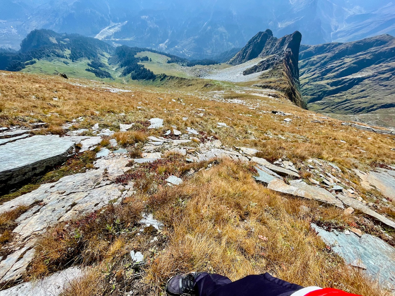
View from the mid point of the Summit.
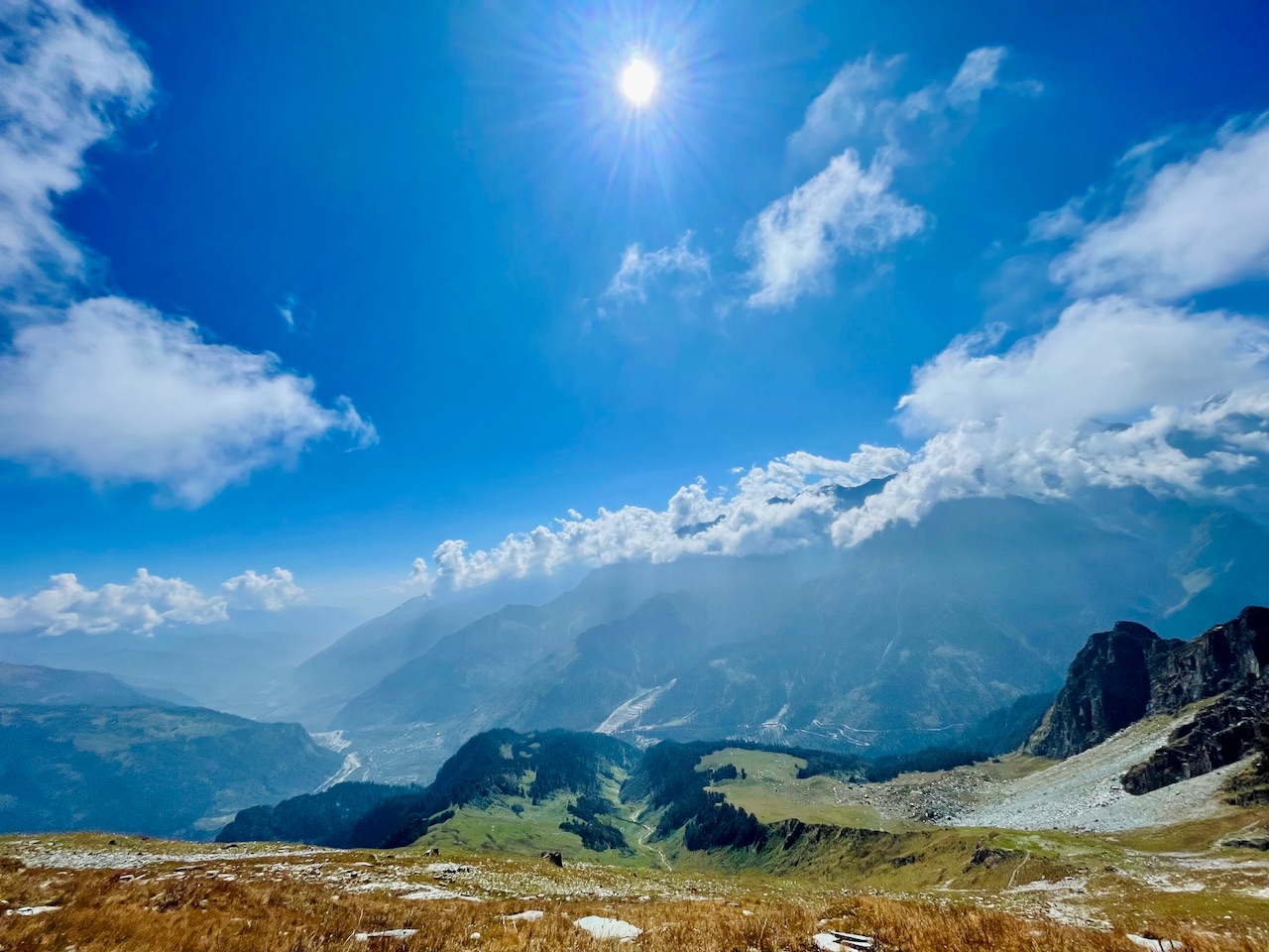
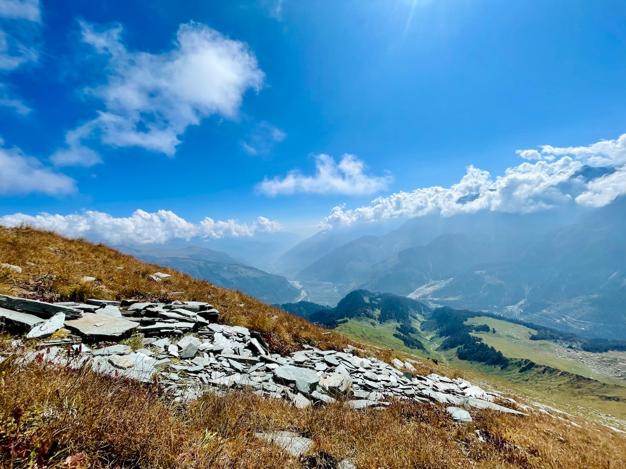
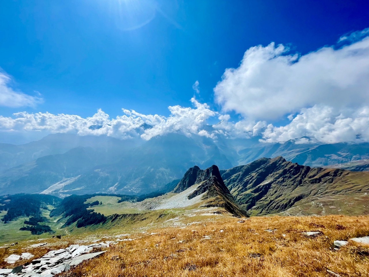
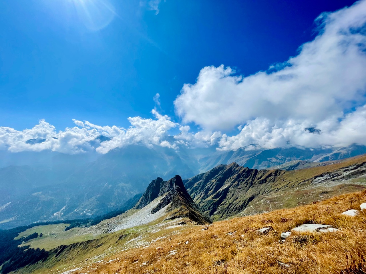
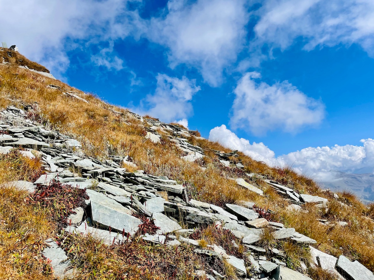
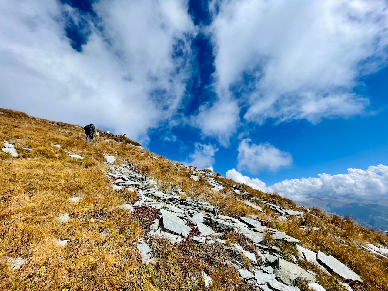
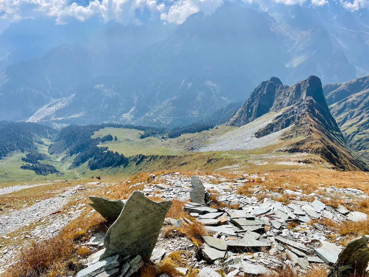
There was this OODI- from the ancient times hundreds of years before representing the landmark of the location.Maybe this depicting the halfway point till the summit.
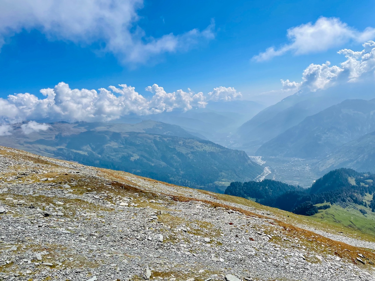
As we were covering up the distance more and more were the rocks and slippery boulders region started as at such a high altitude due to lack of high amount of oxygen and no vegetation the soil looses its strength and the soil becomes like that a powdered rock.
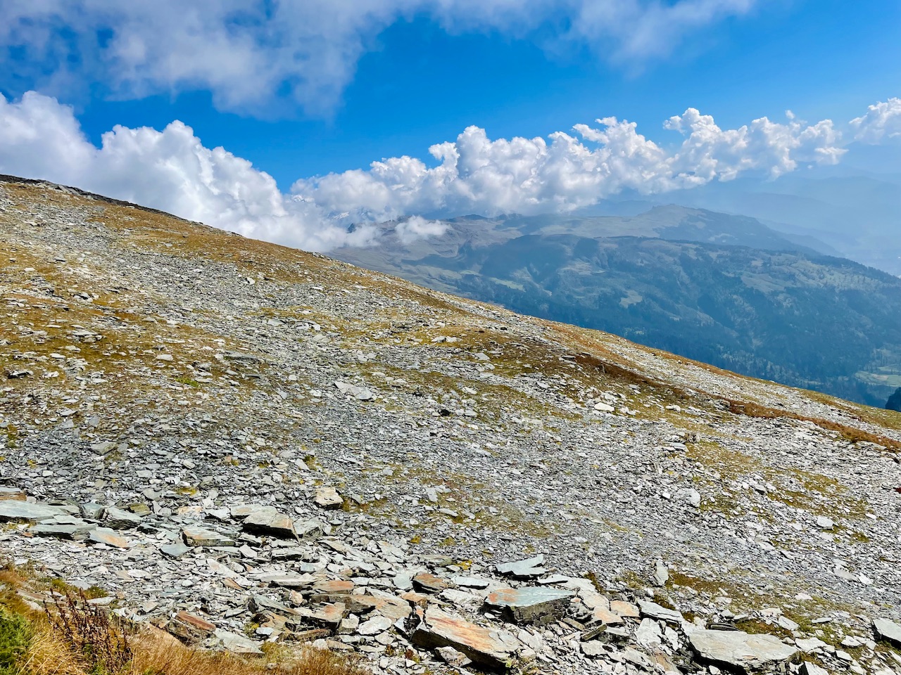
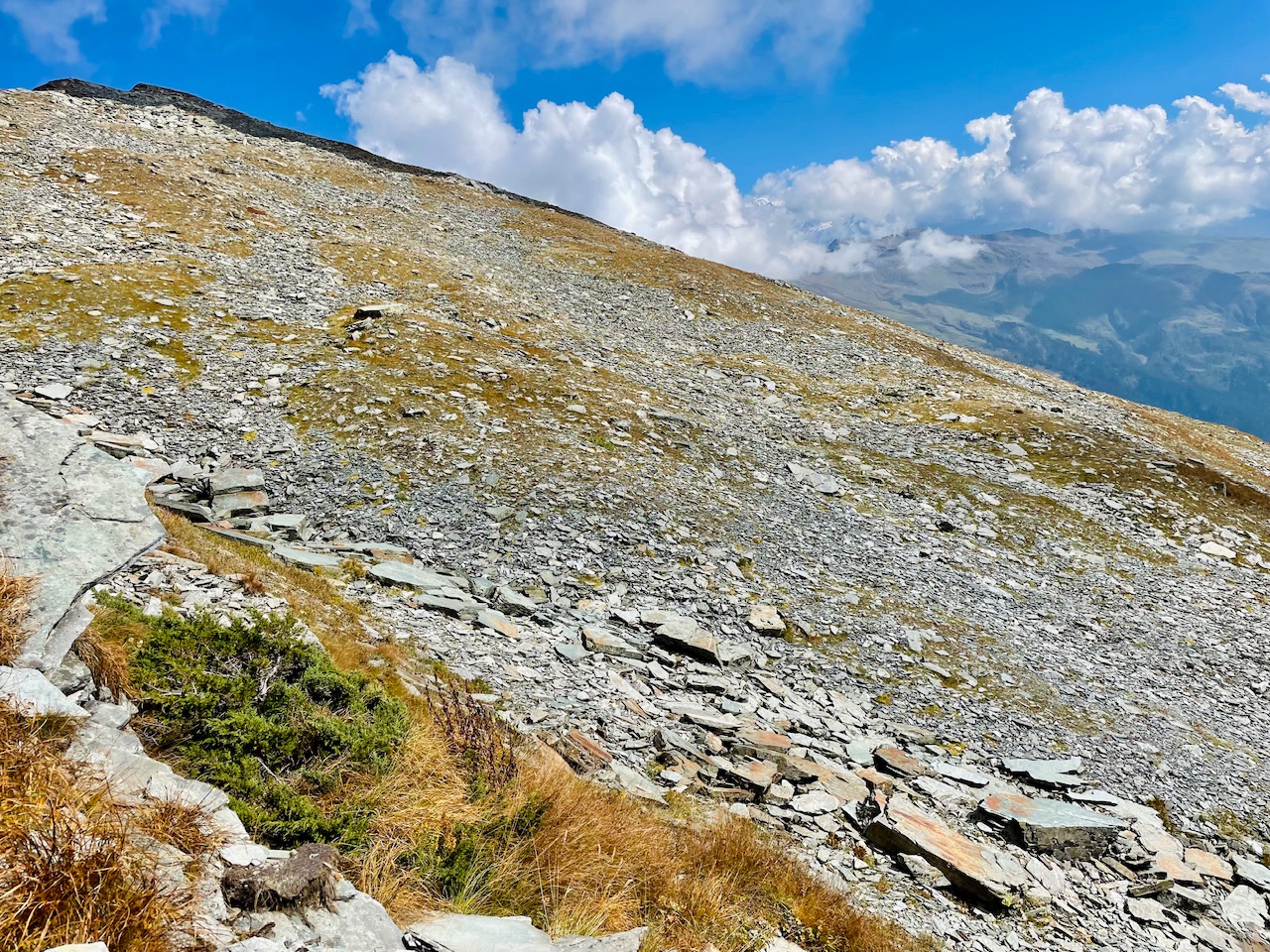
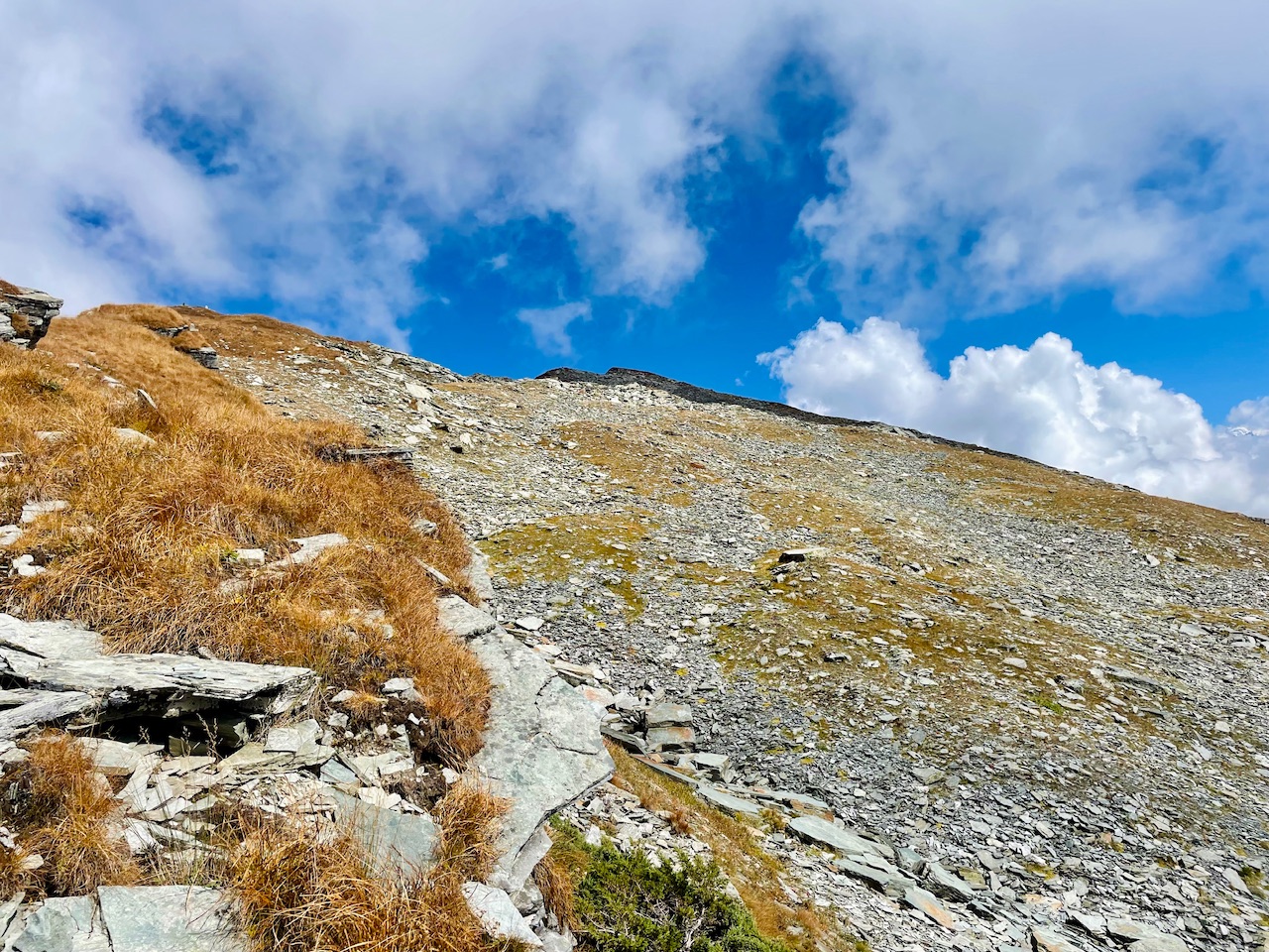
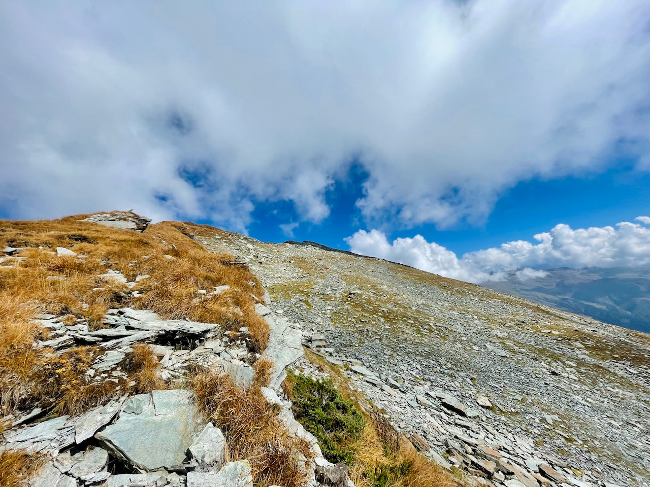
The Last Stretch.
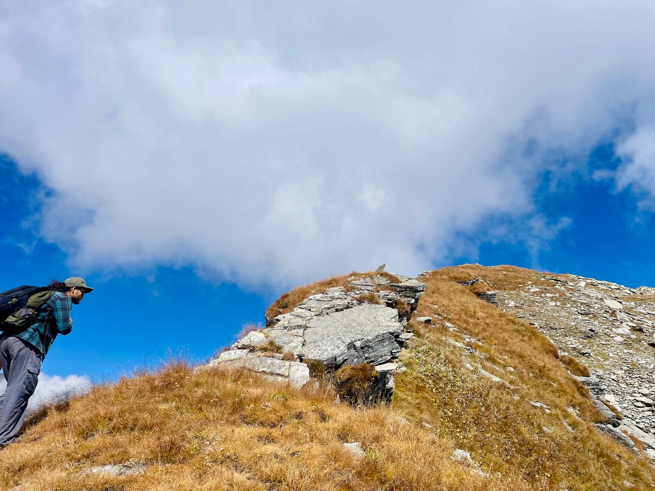 Beyond this was the last stretch of the hike beyond which we would reach the to the top of the summit that we had planned about.
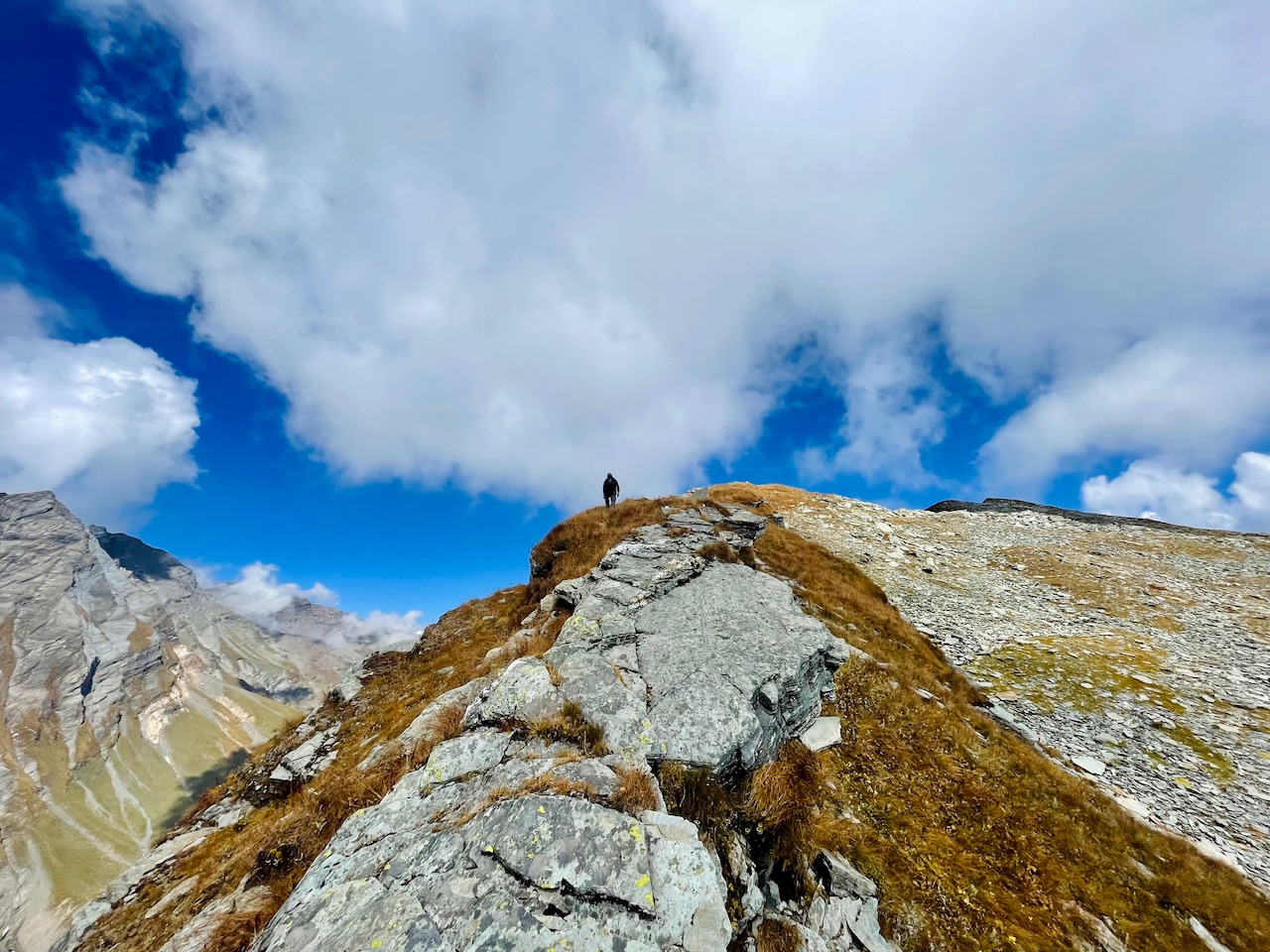
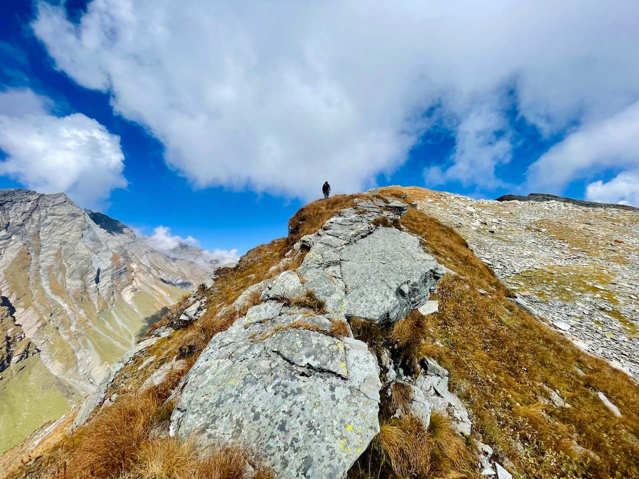
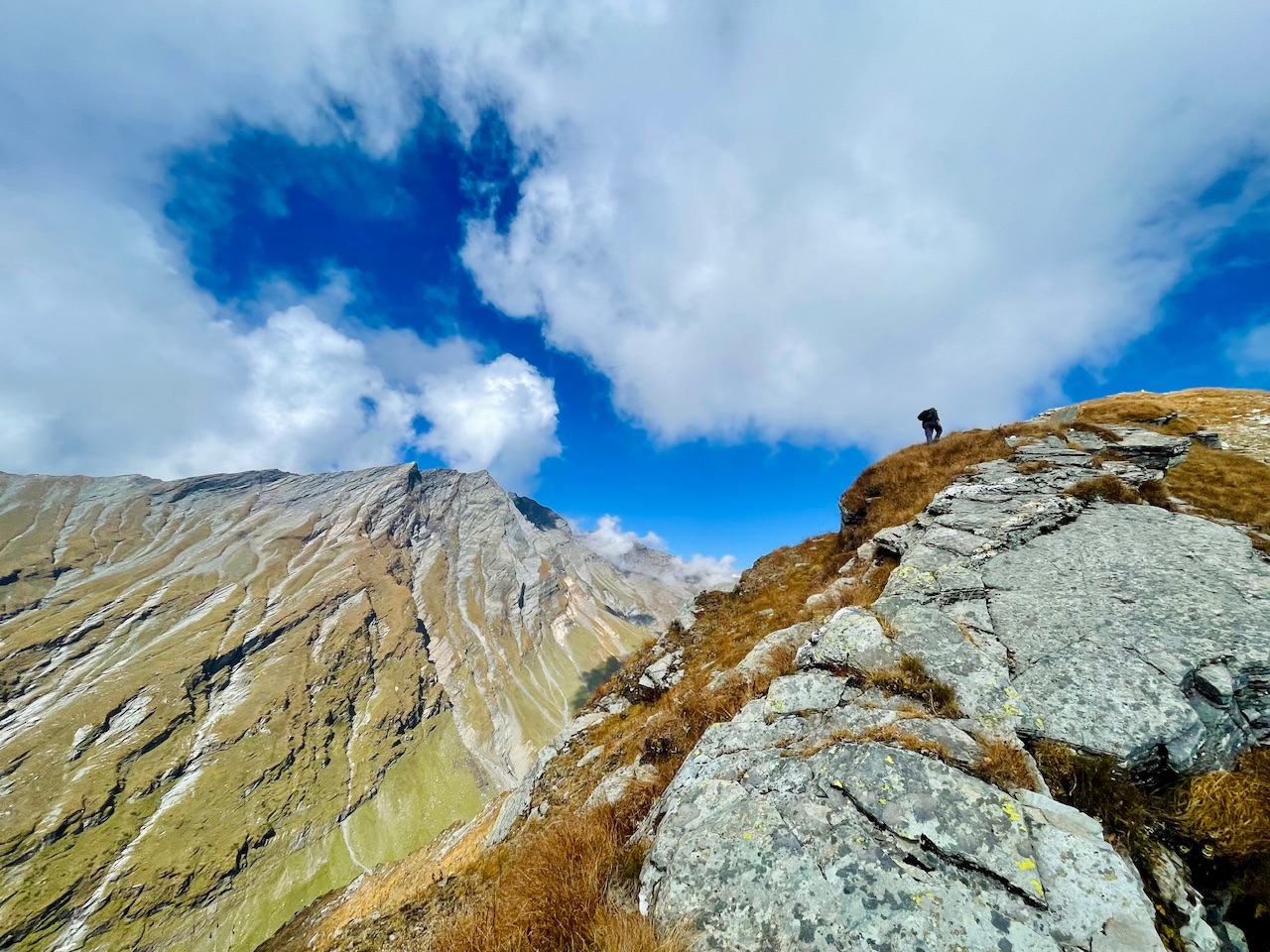
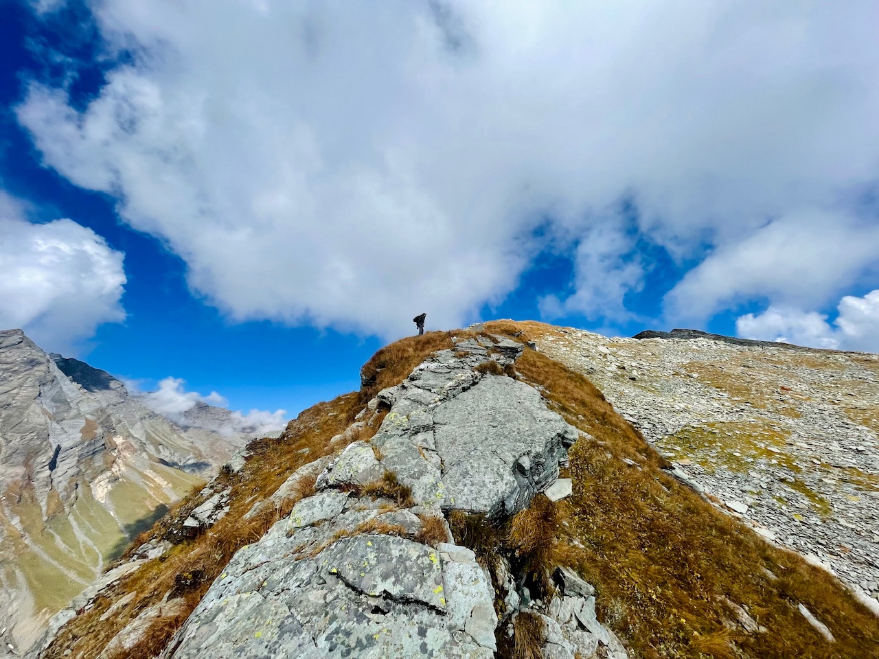
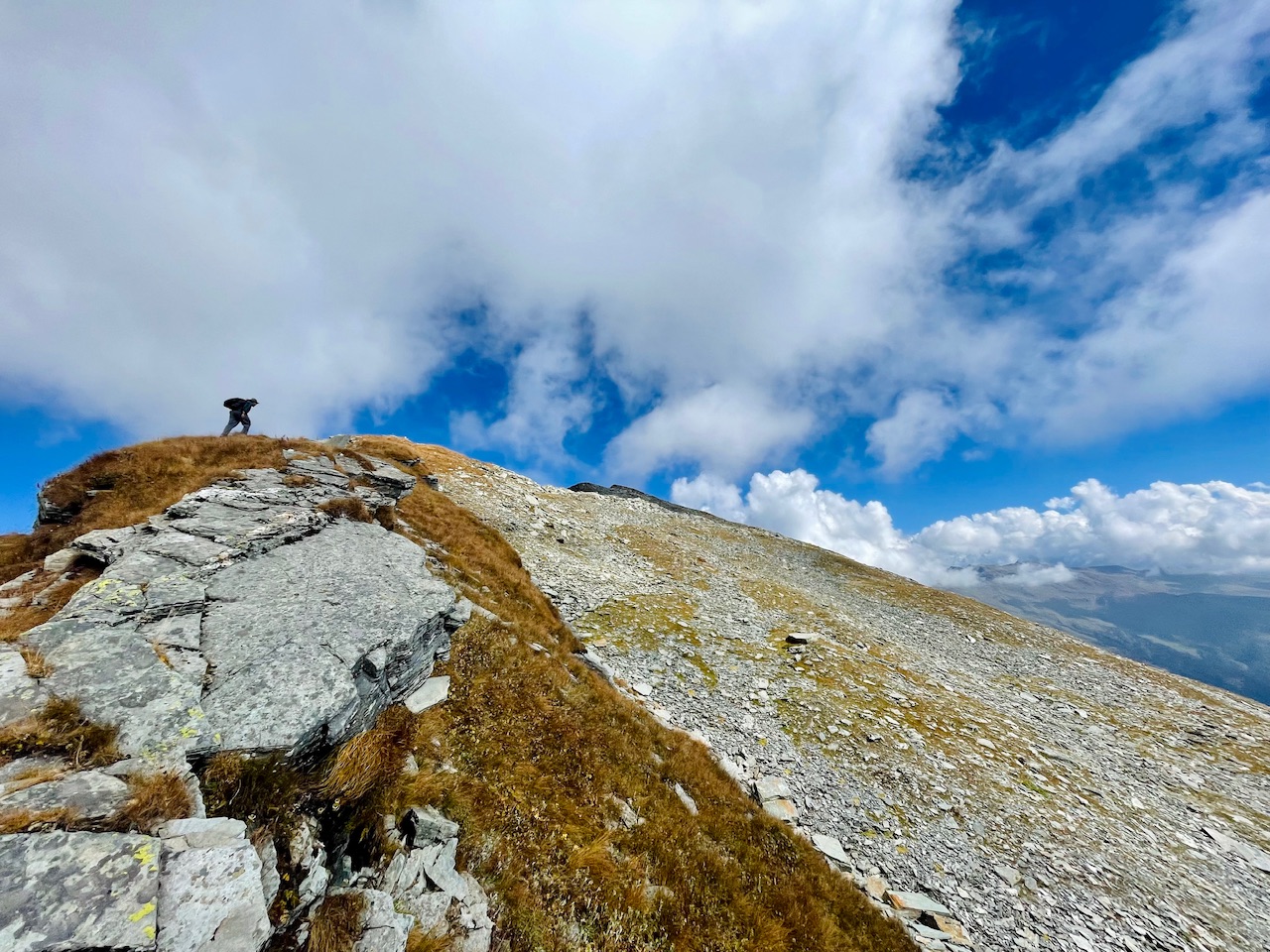
After hiking for more than an hour or so through the last ridge we finally made it up till the top.
I tried to capture as many photos that I cloud so that even you guys could get the true picture about the same and experience the journey at its fullest.
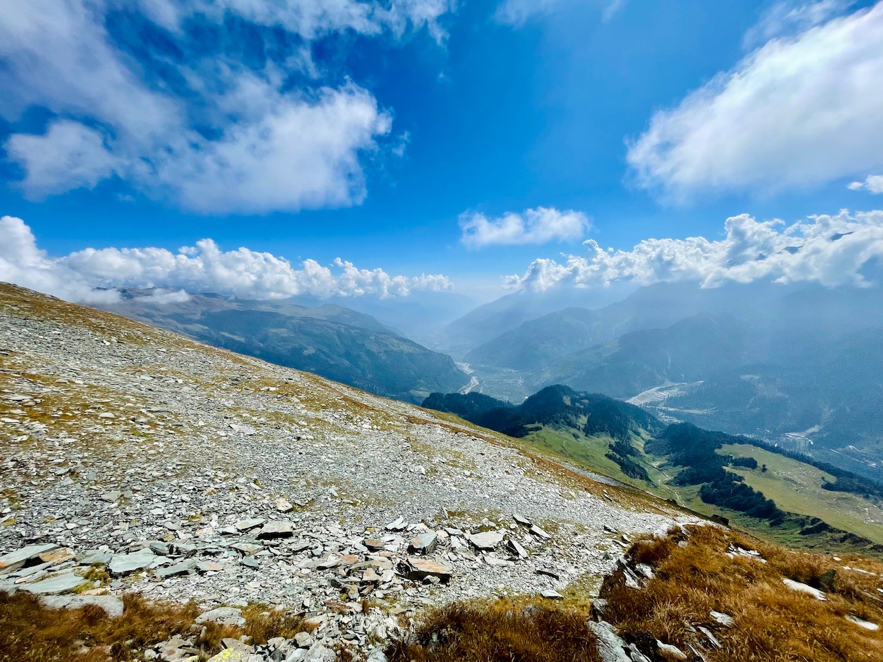
So thats all for today guys. I hope you liked it.
Thanks for your precious time. 🙏
Love from the Himalayas.❤️
You can check out this post and your own profile on the map. Be part of the Worldmappin Community and join our Discord Channel to get in touch with other travelers, ask questions or just be updated on our latest features.
Discord Server.This post has been manually curated by @bhattg from Indiaunited community. Join us on our
Do you know that you can earn a passive income by delegating to @indiaunited. We share more than 100 % of the curation rewards with the delegators in the form of IUC tokens. HP delegators and IUC token holders also get upto 20% additional vote weight.
Here are some handy links for delegations: 100HP, 250HP, 500HP, 1000HP.
100% of the rewards from this comment goes to the curator for their manual curation efforts. Please encourage the curator @bhattg by upvoting this comment and support the community by voting the posts made by @indiaunited.
The sky was very mesmerizing. I hope I can go there someday. Thank you for sharing that wonderful photos.
Rightly said, I would be glad that you would explore the Himalayas Someday. Thanks for stopping by. :)
Travel Digest #2401.
Become part of our travel community:
- Join our Discord
Hiya, @ybanezkim26 here, just swinging by to let you know that this post made it into our Honorable Mentions in Your post has been manually curated by the @worldmappin team. If you like what we're doing, please drop by to check out all the rest of today's great posts and consider supporting other authors like yourself and us so we can keep the project going!very glad that you liked my post and mentioned. Means a lot.🙏
Many greetings and blessings from Himalayas🏔. Have a nice day 😊 And many congratulations to the others members mentioned over the post. 🙏Thank you so much @ybanezkim26 and @worldmappin for mentioning and stopping by. I am
Keep up the great work 💪