Days and Days,
Just passed by!
Up on our dreams about wondering an unseen land.
Julley Everyone!
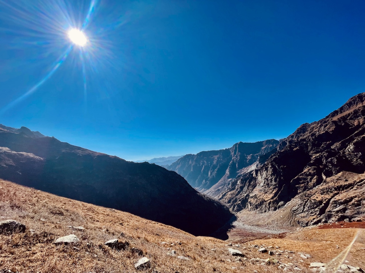
Days just passed by.. Wondering the Never Ending Valley! It was our last hope that we might reach the summit if not the Hamta Summit but another one towards the northern region between the Crossway of the Jwara campsite. Around 6 Hours before the Campsite day 3 of Balu ka Gera.
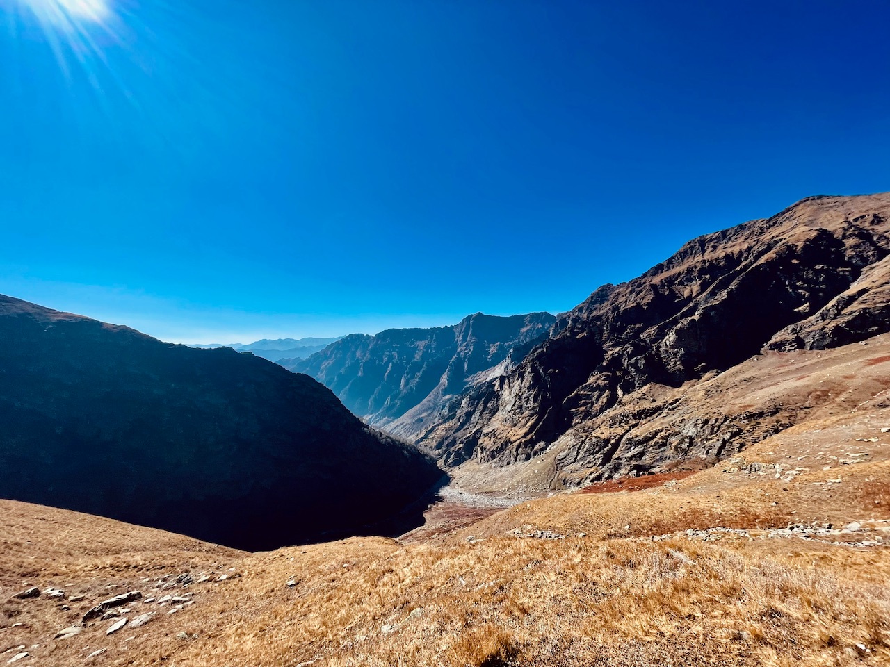
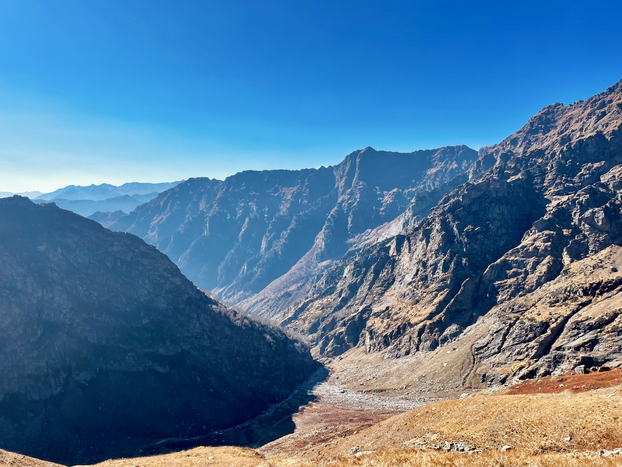
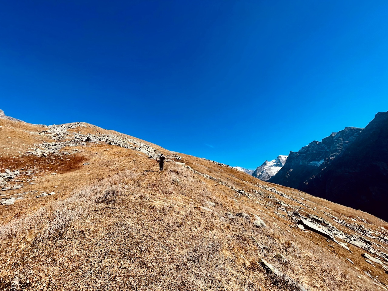
We were a group of five people. Just reaching this place three of the members decided to stay at this region as even the temperature was really harsh. Cold and Sunny day. The coldness in the air would freeze ourselves and the Heatness from the sun would just burn ourselves and make the sky tan which in a while in contract of cold wind blowing in the air would cause irritation and at the cold nights the wounds due to the burnt skin would even take a while to hear. This region was all about an En-Route to the two valleys of the Himalayan region. The Kullu Region and the Lahul and Spiti region.
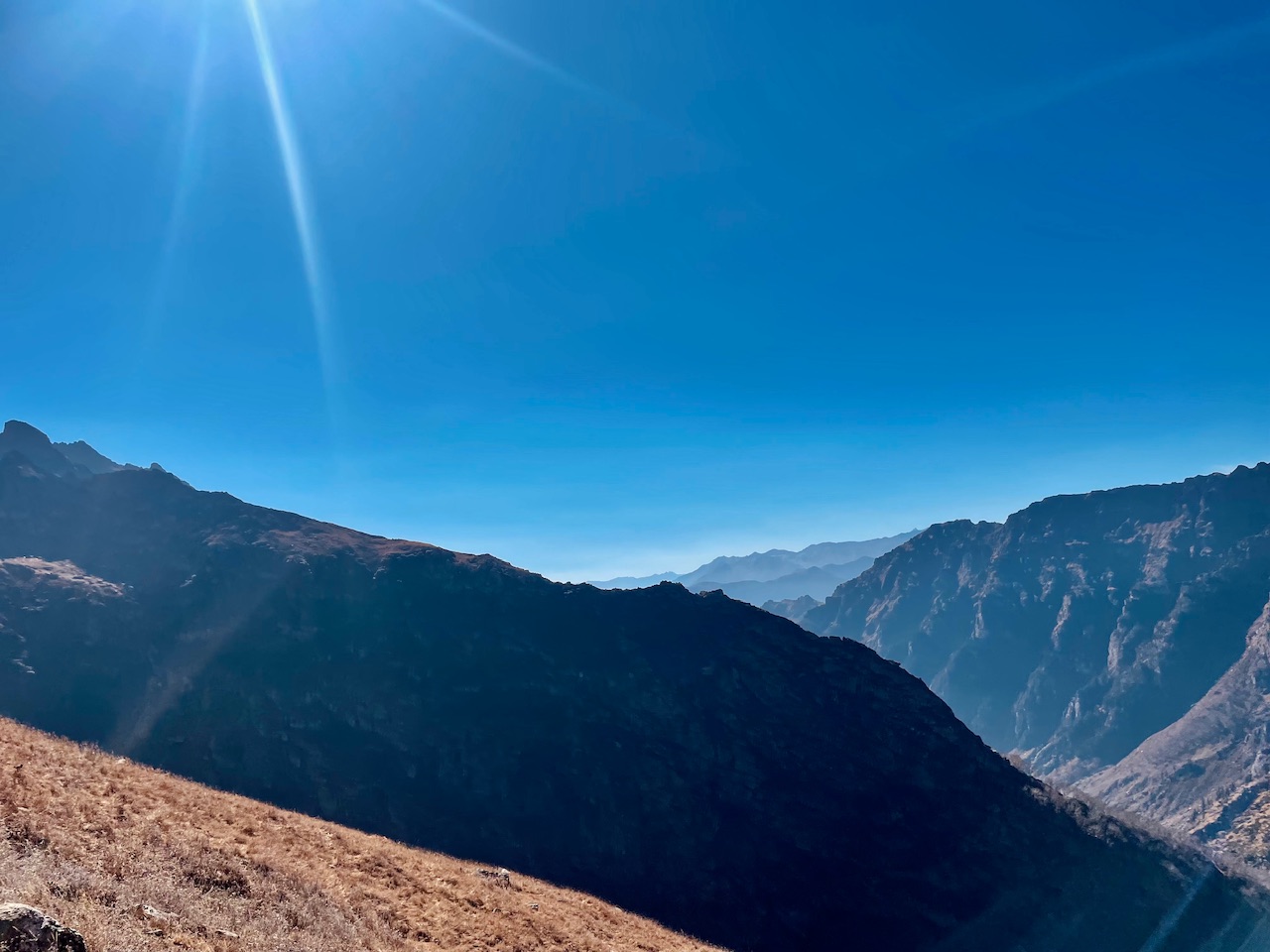
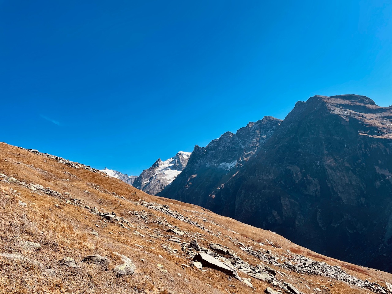
The Kullu Region being on the right sid eof the Pir Panjal Mountain Range and the Lahul and Spiti region being on the Left side of the Mountain Range. The Pir Panjal region Being a mountain chain formed up of the most highest mountain peaks over 6000m that even does not allow the wind to pass through which being the reason of the Lahul and Spiti region being dry and forming the Cold Desert. The Valley which we were exploring was somewhere between the two regions! The Pre fall season being the best time to hike these mountains peaks right before the first fall as the weather being clear and all of the peaks being crystal clear visible. Made us plan this expedition.
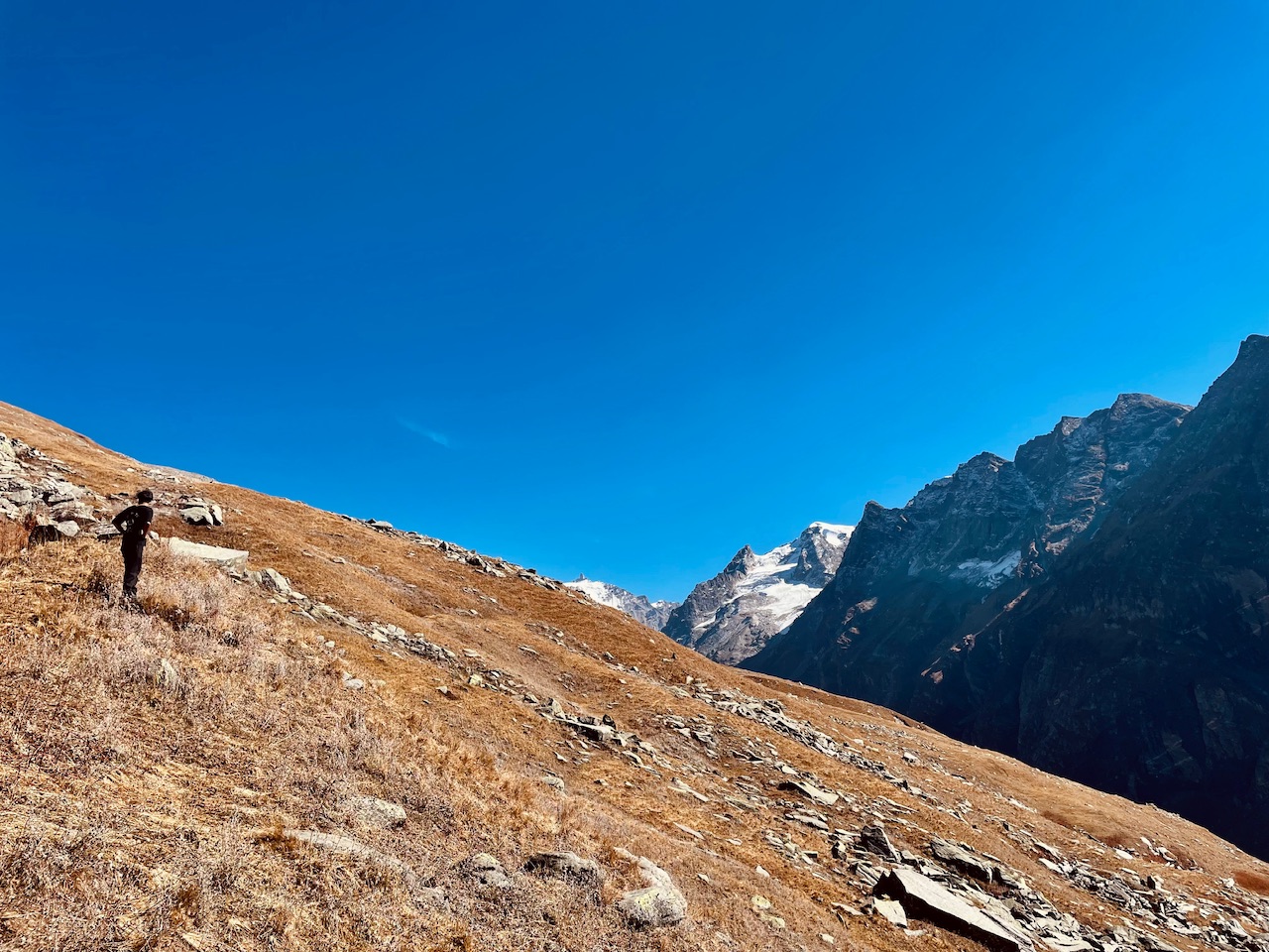
Three of the members! Among the one was little exhausted and exhaustion in the mountains asks for rest! So another decided to be with one of the member. Me and my brother decided to hike us another summit of the peak which was seen right in front of us rather then hiking the Summit of Hamta Pass. An En-route to the Lahul and Spiti region of the Himalayas from Kullu Region.
Instead of reaching and aiminf to reach and summit the Hmata Summit I along with my Brother decided to hike the Steep mountain peak towards the Northern Side of the Valley.
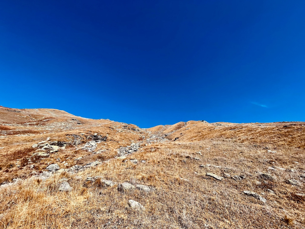
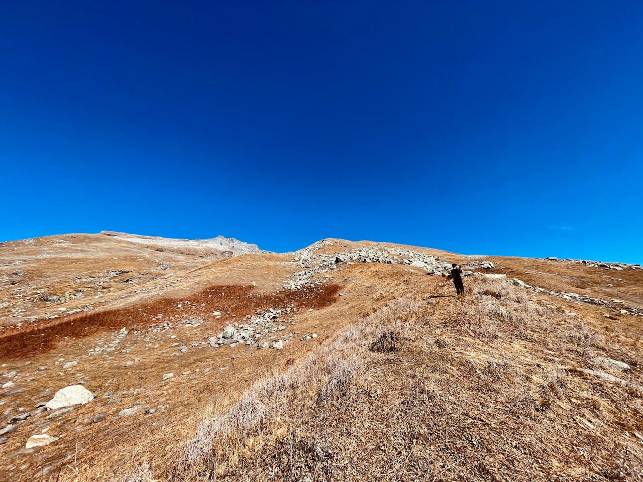
The Summit did not seemed so far as it seemed like that in just a speed hike of more than four hours we can make it. Till the summit of this magical mountain peak. From where we could see the whole valley!
Rest of the team members decided to stay back and Me and my brother just decided to wonder this world. So we ket our hiking gear and bags along with them and started our speed hike.
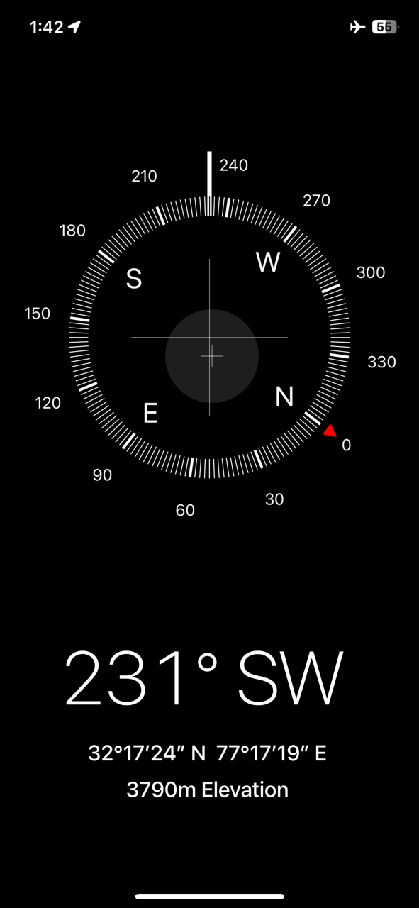
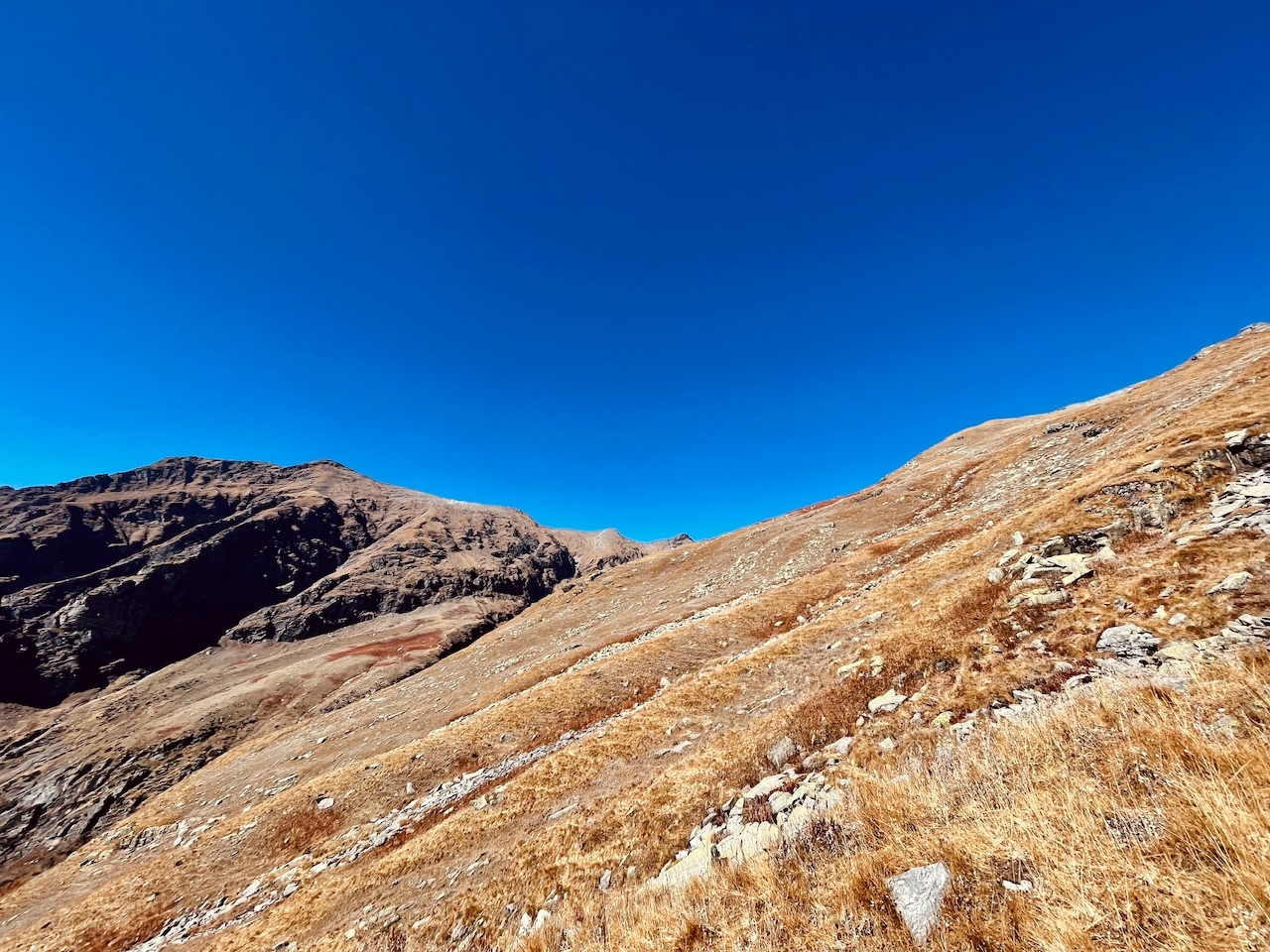
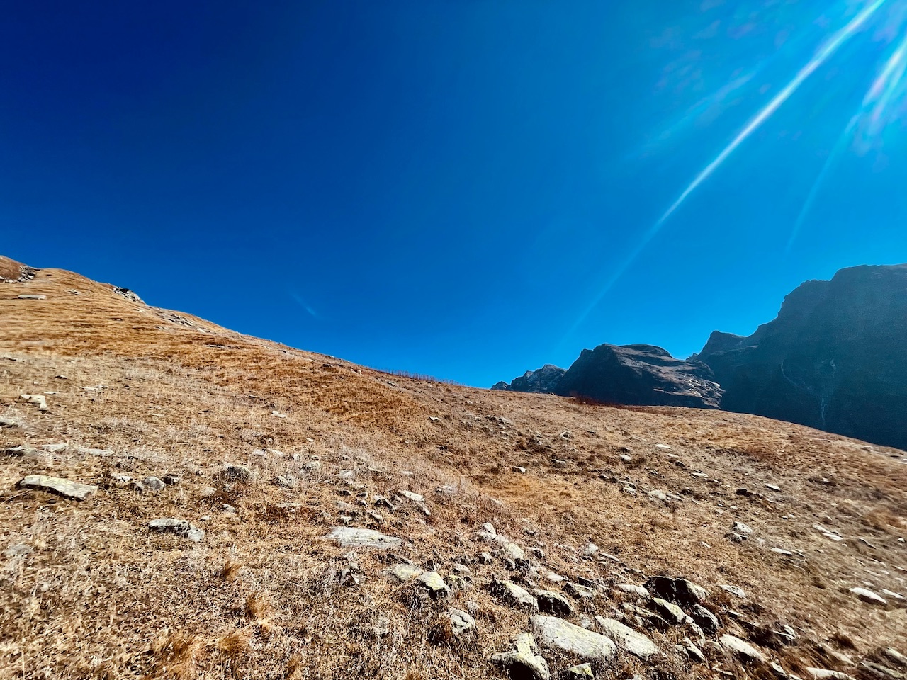
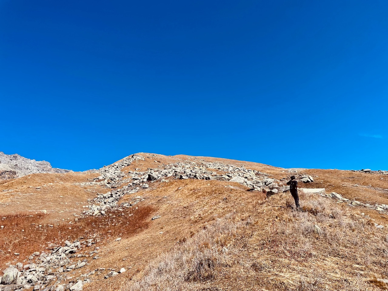
We were at an altitude of 3790m when we firstly captured the altitude.
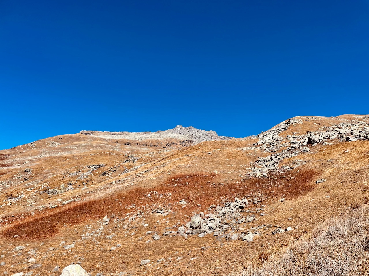
At this point the air and the atmosphere seemed quite thin.
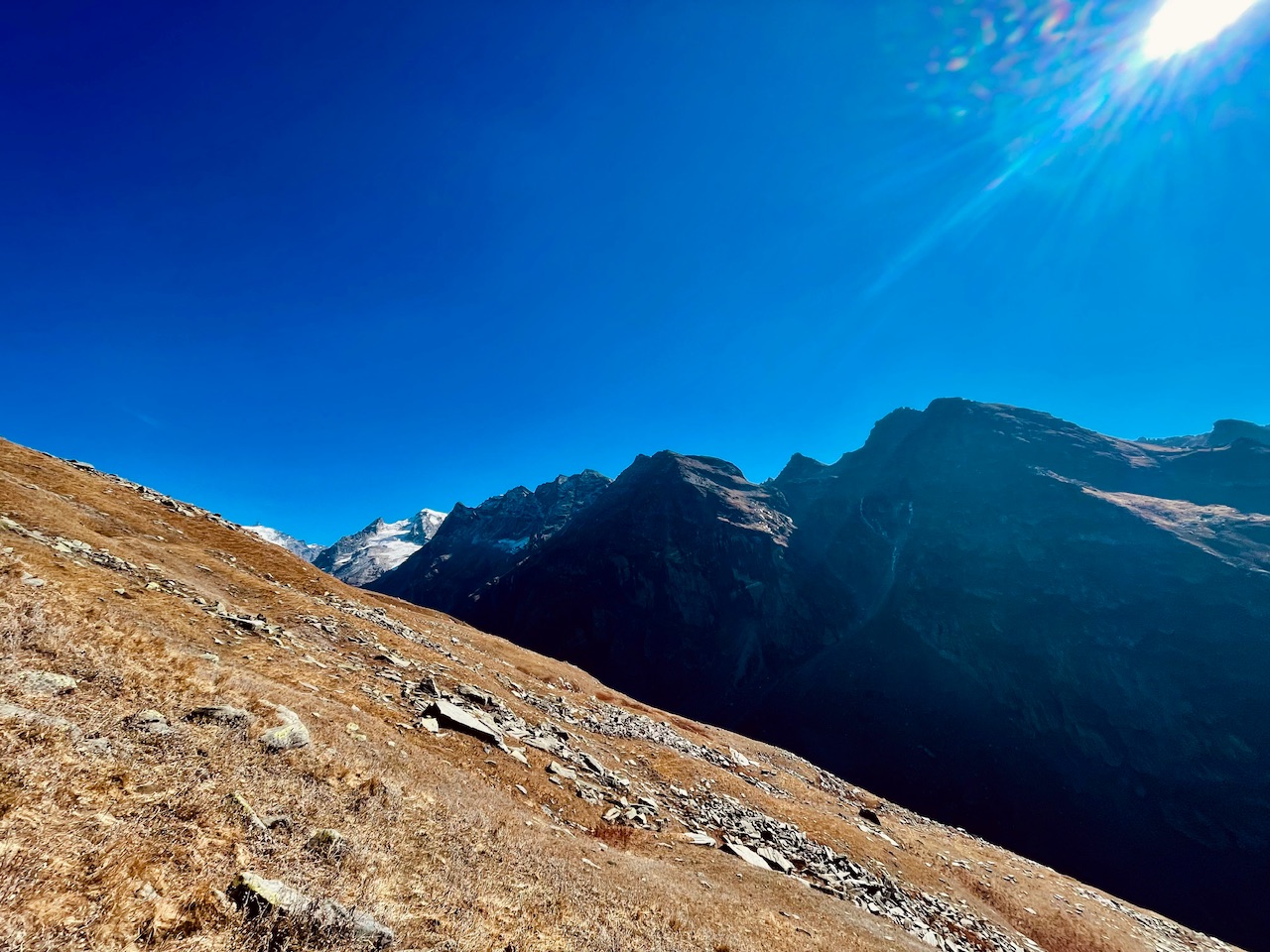
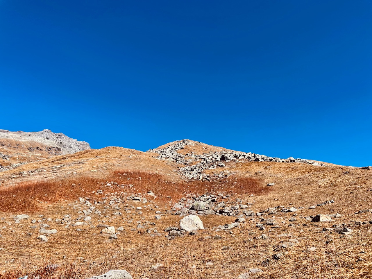
The summit seemed quite far but as we covered more and more distance more far did the summit seem. At a point it felt like that we got into a never ending trap of this mountain peak. Till now we had hiked for more than two hours straight. But the distance till the summit was exactly the same as it seemed from the below.
The steepness at points was changing. But I would say it was quite steep enough. The main problem that we faced during this time was that we left our water bottles along with our bags and we were thirsty and the dehydration would just make us even feel more tired.
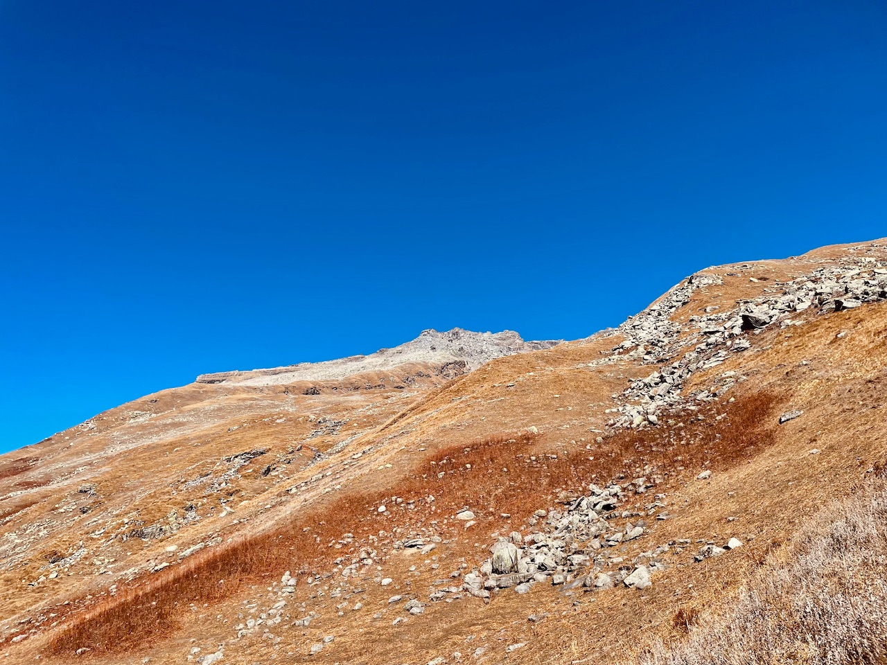
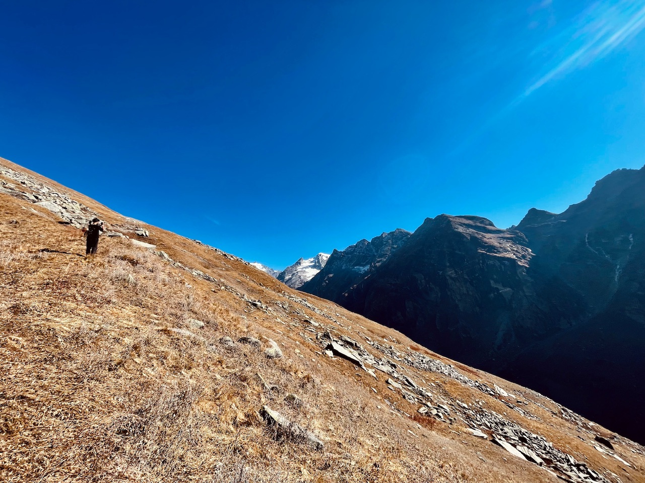
Out of somehow we made our way all the way till here and we saw another huge mountain peak right behind the summit the boulder patch. With would no idea take how long time. When we had to give up making it a failed attempt to the unknown summit.
So that's all for today guys! I hope you liked it.
Love from the Himalayas. ❤️
You can check out this post and your own profile on the map. Be part of the Worldmappin Community and join our Discord Channel to get in touch with other travelers, ask questions or just be updated on our latest features.
Amazing landscape photography stuff @pranavinaction friend!
!discovey 33
!PIZZA
Thankyou so much 🙏