[ENG]
After almost two months of break from conquering the Main Beskid Trail, we returned to continue the challenge. We had time to organize a maximum two-day trip and it so happened that on our route we were supposed to pass as many as 4 shelters and pass the fifth one, but when it came time to choose a specific shelter, problems began. The first issue is the fact that the Stacja Turystyczna Abrahamów shelter and the PTTK Na Hali Miziowa shelter are located too close to the beginning and end of our route, so the two-day section would be divided very unevenly, which would result in major problems in completing it. The best located shelter turned out to be the PTTK Na Rysiance shelter, so we chose it for our overnight stay. Unfortunately, there were no free places there, so naturally my thoughts went to the PTTK Hala Lipowska Shelter, less than a kilometer away to the south. Unfortunately, there was no room there either, and to make the story short, I will say that there were no free places at the Słowianka Tourist Station either. The situation has become slightly critical. Our trip will be questionable, because it is impossible to sleep in the wild in February. Fortunately, between the Słowianka Tourist Station and the Suchy Groń peak, there is the hamlet of Płone, where we booked accommodation via a popular website.
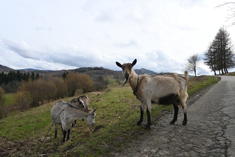
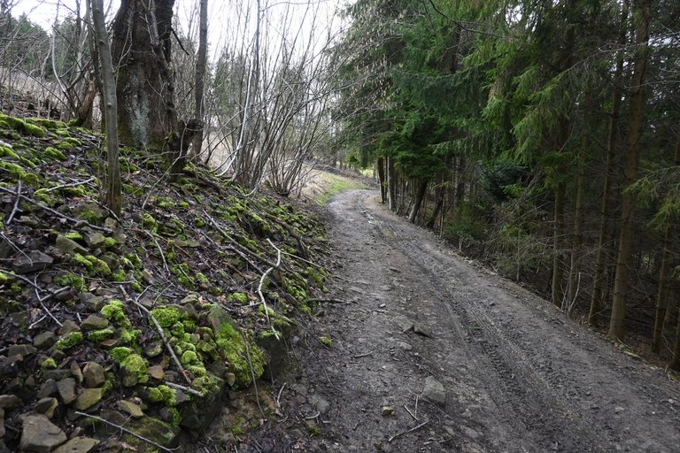
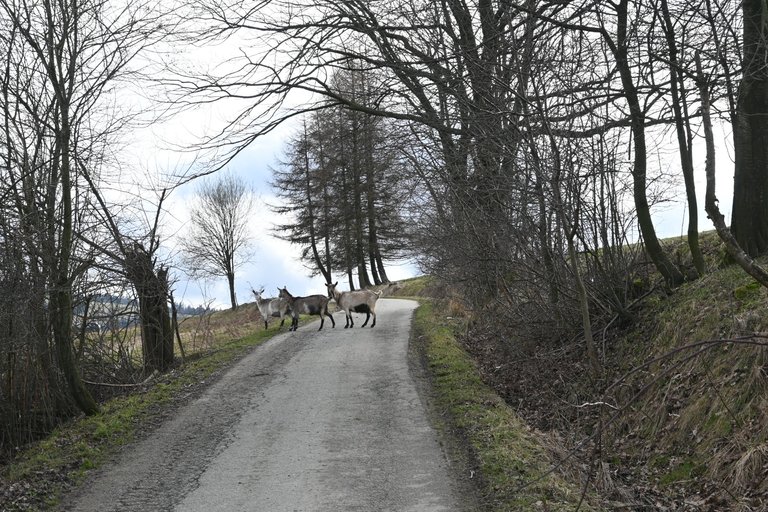
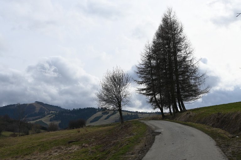
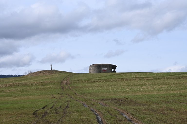
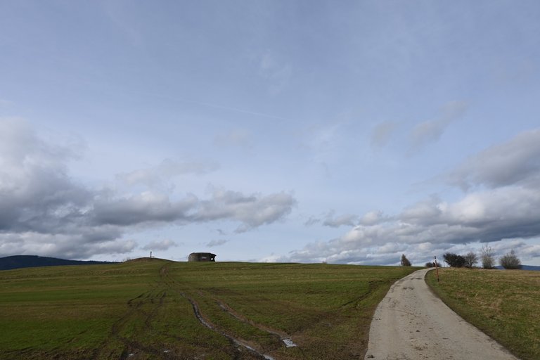
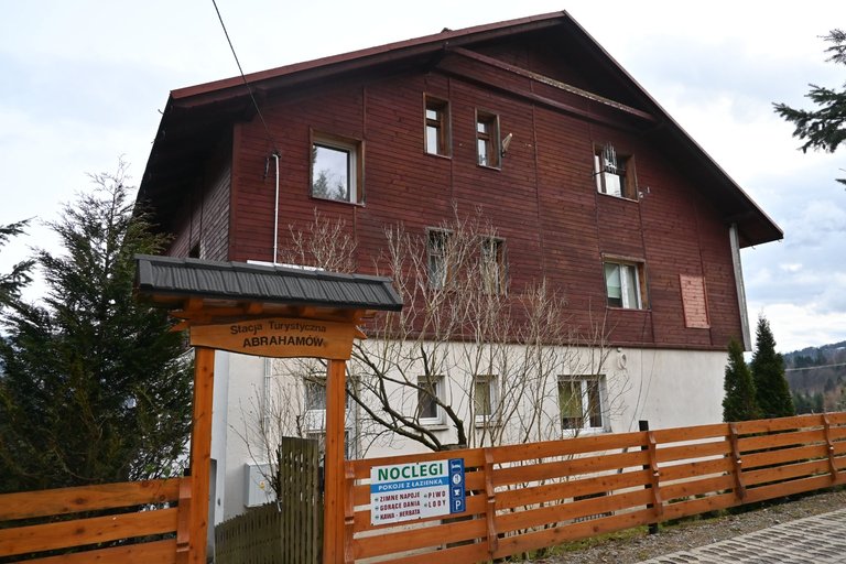
Since we had accommodation in a place less than 4 hours away from the railway station in Węgierska Górka, we did not have to rush with our journey. We left Krakow after 11 a.m. and, with a quick transfer in Czechowice-Dziedzice, we reached Węgierska Górka at 1:30 p.m. The first kilometers of the route led us through the city, where among the interesting places we passed only the Wędrowiec shelter from World War II. Just outside the city, when we turned into the fields, we saw another quite damaged shelter called Wyrwidąb. The paved road leading through the fields finally ended and at the same time the worst part of the trip began. The wettest February in a decade is coming to an end, hydrologists are happy that the hydrological drought that has been going on for several years has been ended, and we are heading to the mountains in these muddy conditions. from the exit from the last road in Węgierska Górka to the Abrahamów Tourist Station there was endless mud. We took a break for a meal at the Abrahamów Tourist Station, and since the prices there were very attractive, we ate borscht with dumplings for PLN 15, a casserole for PLN 13 and a huge portion of fries for PLN 9. To live not to die.
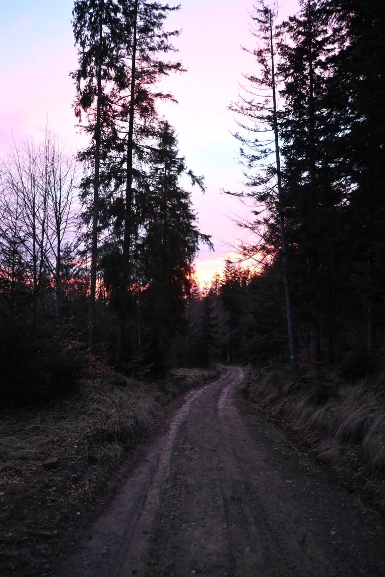
After a pleasant break, sunset was slowly approaching, and what's worse, the closest section of the trail turned out to be the muddiest section we covered that day. The mystery of the big mud was somehow explained right in front of the Słowianka Tourist Station. Namely, suddenly a powerful roar of combustion engines was heard from the forest. After a while, when the roar of the engines became really loud, we saw headlights approaching us in the distance. A moment later, three quad bikes rushed past us, damaging the already completely destroyed forest path even more. We were almost knee-deep in mud and we didn't even try to enter Słowianka, because no one would probably let us in anyway. We went straight to our accommodation, about a kilometer away, because we had a long route waiting for us the next day.
[PL]
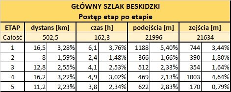
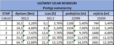
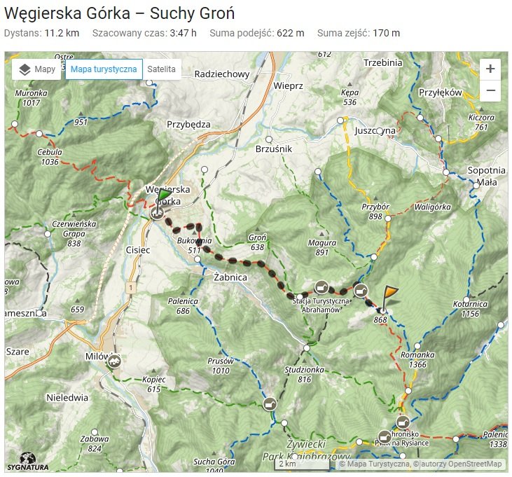
Po prawie dwóch miesiącach przerwy od zdobywania Głównego Szlaku Beskidzkiego wróciliśmy do kontynuacji wyzwania. Mieliśmy czas na zorganizowanie maksymalnie dwudniowej wycieczki i tak się fajnie złożyło, że na naszej trasie mieliśmy minąć aż 4 schroniska, oraz przejść w pobliżu piątego, ale gdy przyszedł czas wyboru konkretnego schroniska zaczęły się problemy. Pierwsza kwestia, to fakt, że schronisko Stacja Turystyczna Abrahamów oraz Schronisko PTTK Na Hali Miziowej znajdują się zbyt blisko początku i końca naszej trasy, wiec odcinek przeznaczony na dwa dni byłby podzielony bardzo nierówno, co skutkowałoby dużymi problemami w przejściu go. Najlepiej położonym schroniskiem okazało się Schronisko PTTK Na Rysiance więc to właśnie je wybraliśmy na nasz nocleg. Pech chciał, że nie było tam wolnych miejsc, dlatego naturalnie moje myśli powędrowały do Schroniska PTTK Hala Lipowska, oddalonego o niecały kilometr w kierunku południowym. Niestety tam tez nie było miejsca i skracając historie od razu powiem, że w Stacji Turystycznej Słowianka też nie było wolnych miejsc. Sytuacja stała się lekko krytyczna. Nasz wyjazd staną pod znakiem zapytania, bo przecież w lutym nie da się spać na dziko. Całe szczęście pomiędzy Stacją Turystyczną Słowianka, a szczytem Suchy Groń znajduje się przysiółek Płone gdzie poprzez popularny serwis internetowy zarezerwowaliśmy nocleg.
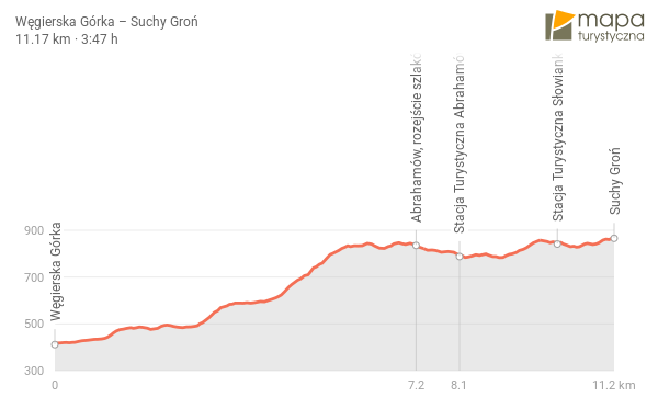
Skoro mieliśmy nocleg w miejscu oddalonym o niecałe 4 godziny od Dworca PKP w Węgierskiej Górce to wcale nie musieliśmy się spieszyć z naszą podróżą. Z Krakowa wyjechaliśmy po godzinie 11 i z szybką sprawą przesiadką w Czechowicach-Dziedzicach do Węgierskiej Górki dotarliśmy już o 13:30. Pierwsze kilometry trasy prowadziły nas przez miasto, gdzie z ciekawych miejsc mijaliśmy tylko schron Wędrowiec z okresu II wojny światowej. Zaraz za miastem gdy skręciliśmy już w pola zobaczyliśmy kolejny dość mocno zniszczony schron o nazwie Wyrwidąb. Utwardzona droga wiodąca przez pola wreszcie się skończyła i jednocześnie zaczął się najgorszy etap wycieczki. Dobiega końca najbardziej mokry luty od dekady, hydrolodzy cieszą się, że panująca od kilku lat susza hydrologiczna została zażegnana, a my w tych błotnistych warunkach ruszamy w góry. od zejścia z ostatniej drogi w Węgierskiej Górce aż do Stacji Turystycznej Abrahamów było niekończące się błoto. W Stacji Turystycznej Abrahamów zrobiliśmy sobie przerwę na posiłek, a ponieważ ceny tam były bardzo atrakcyjne to za 15 zł zjedliśmy barszcz z uszkami, za 13 zł zjedliśmy zapiekankę i jeszcze za 9 zł giga porcja frytek. Żyć nie umierać.
Po przyjemnej przerwie wielkimi krokami nieubłaganie zaczął zbliżać się zachód, a co gorsze najbliższy odcinek szlaku okazał się najbardziej błotnistym odcinkiem jaki tego dnia pokonywaliśmy. Tajemnica wielkiego błota w pewien sposób wyjaśniła się tuż przed Stacją Turystyczną Słowianka. Mianowicie nagle z lasu rozległ się potężny ryk silników spalinowych. Po dłuższej chwili gdy ryk silników stał się już naprawdę głośny w oddali zobaczyliśmy zbliżające się do nas reflektory. Chwile potem przemknęły koło nas trzy quady jeszcze bardziej rozjeżdżając i tak już kompletnie zniszczoną ścieżkę leśną. Zabłoceni niemal po kolana nawet nie próbowaliśmy wchodzić do Słowianki, bo i tak pewnie nikt nas w takim stanie nie wpuścił do środka. Poszliśmy prosto do naszego noclegu oddalonego o około kilometr, bo kolejnego dnia czekała na nas długa trasa.

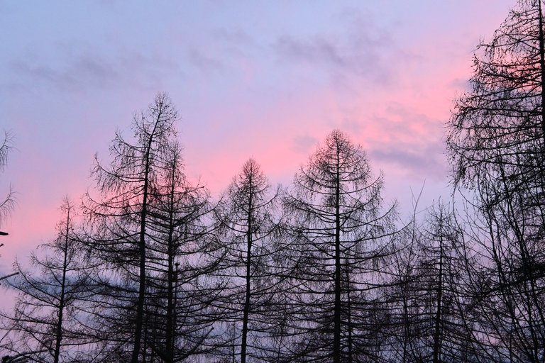
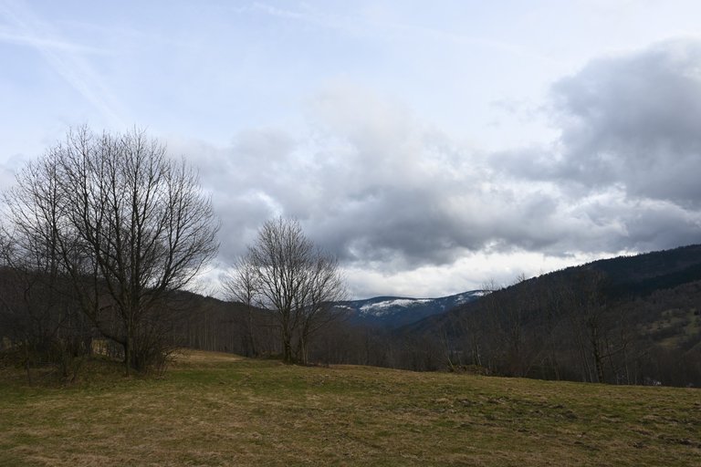
no to mnie złapałeś. Myślałem, że znam przebieg GSB na pamięć, ale nazwa Suchy Groń absolutnie nic mi nie mówiła...
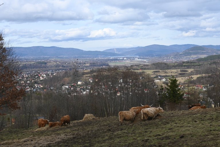
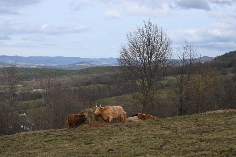
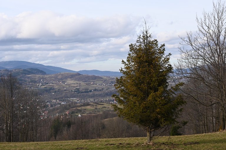
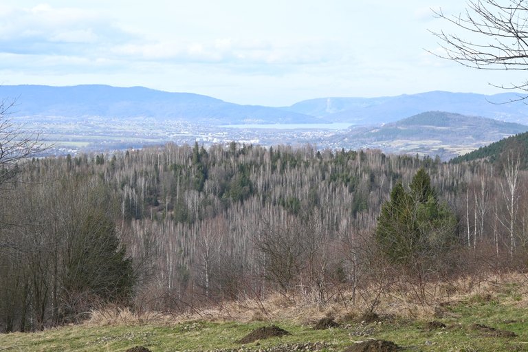
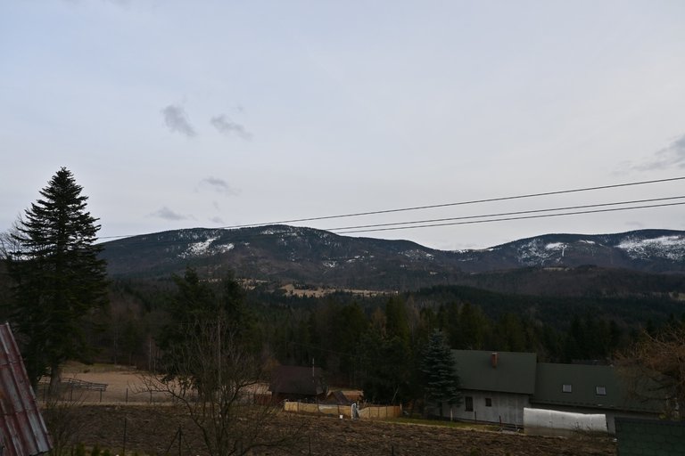
The natural scenery in the livestock fields there is really very beautiful, I really like seeing it
Your detailed description of the route, the conditions, and the obstacles you faced gives a vivid picture of the adventure. It's impressive how you navigated through the muddy terrain and made the best of the situation, enjoying a meal at the Abrahamów Tourist Station despite the challenges.
Congratulations @olusiu! Your post made the TravelFeed team happy so we have sent you our big smile. Keep up the good job. 😃
Thanks for using TravelFeed!
@for91days (TravelFeed team)
PS: Why not share your blog posts to your family and friends with the convenient sharing buttons on TravelFeed?
Piękne miejsce choć muszę przyznać, że nie miałem okazji zawitać jeszcze w te rejony.
It is very impressive and exciting experience to reach your destination by going through various difficult and mud tracks The scenes of the forest is amazing.
Congratulations, your post has been added to Pinmapple! 🎉🥳🍍
Did you know you have your own profile map?
And every post has their own map too!
Want to have your post on the map too?
Hello olusiu!
It's nice to let you know that your article won 🥇 place.
szejq Your post is among the best articles voted 7 days ago by the @hive-lu | King Lucoin Curator by
You and your curator receive 0.2880 Lu (Lucoin) investment token and a 12.22% share of the reward from Daily Report 221. Additionally, you can also receive a unique LUGOLD token for taking 1st place. All you need to do is reblog this report of the day with your winnings.
Buy Lu on the Hive-Engine (Lucoin) and get paid. With 50 Lu in your wallet, you also become the curator of the @hive-lu which follows your upvote. exchange | World of Lu created by @szejq
STOPor to resume write a wordSTART