The Deepest South One Can Go
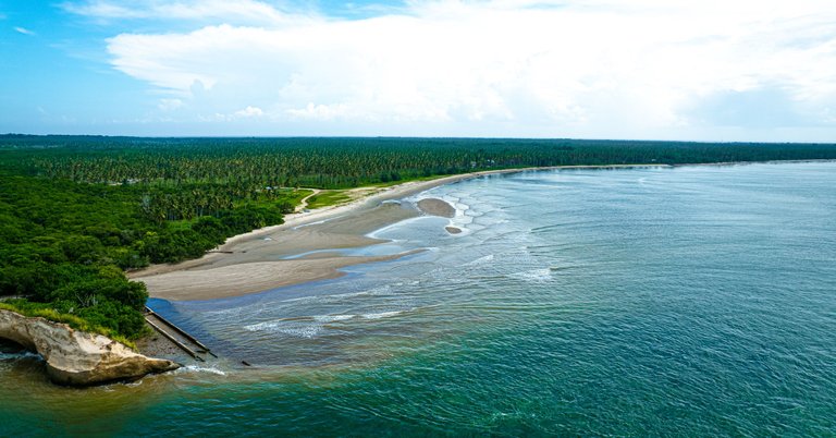
Icacos in Trinidad and Tobago is the deepest south anyone can go in the country all the way down to the largest of the peninsulas on the whole island. It is considered a "long drive" from anywhere else in the country and feels as rural as it gets. Our journey was around a 3 hour drive and takes us through wondrous wetlands and vast square miles of coconut trees. It ends in Columbus Beach, filled with beautiful coastlines and large shores of sand.
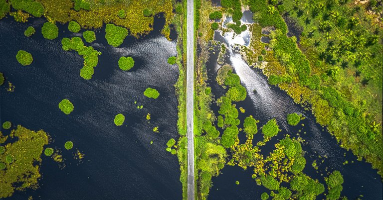
(A top down view of Icacos Wetlands with the only road in the middle.)
The drive is long and winding through mostly secluded main roads with potholes and deep ravines and valleys on either side that would mean death if we drive over. It was basically bush for miles with a few houses here and there as we got closer. When we got to the famous Icacos wetlands, it was then that we knew we were near to the edge of the island, the destination of our arduous journey. The road in the middle of the above photo was the only one going through the wetland that allowed passage to Icacos Bay and Columbus bay. It was so weird as the edge of it was literally the same height of the waters. I can just imagine what happens when it rains heavily!
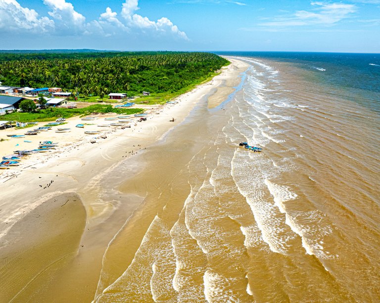
(An aerial view of Icacos Bay and its fishing village.)
We first arrived at Icacos bay. There was nothing much to see here except the fishing village that resided on the edge of the island here. Another interesting thing was that the waves came in at a slanted angle that I have never ever seen anywhere else before that was due to the rounded edge of the peninsula. Normally, bays and coves are more concave invaginations into the mainland but this was the first bay I had ever been to that was outwardly rounded and the waves looked so awesome from the air!
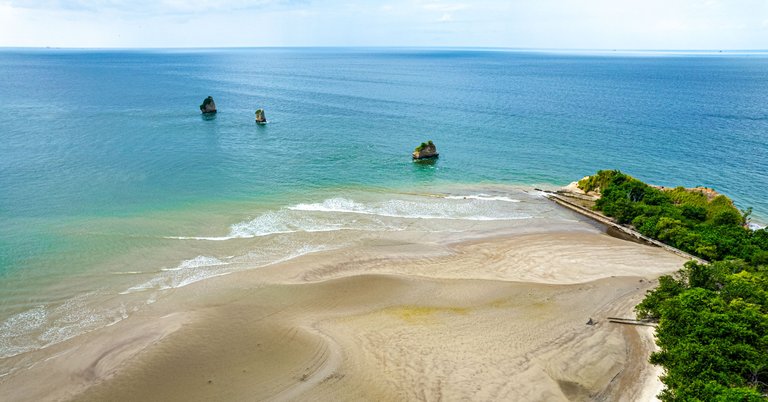
(An Aerial view of Columbus Bay, the Three Sisters in the background)
We next headed to Columbus Bay that was more northwards from the previous Icacos Bay. Here was the final intended destination for photography due to the more aesthetically pleasing nature of the location. The bay is large and sprawling in nature while also having wonderful rock formations as well as the Famous Three Sisters, which we will get to in a little bit. I was just excited to get the drone up and explore the area and bring another dimension to the already existing photography of the area.
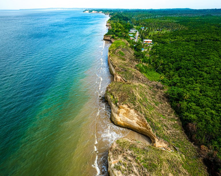
(An aerial view of the right-side coastline of Columbus Bay)
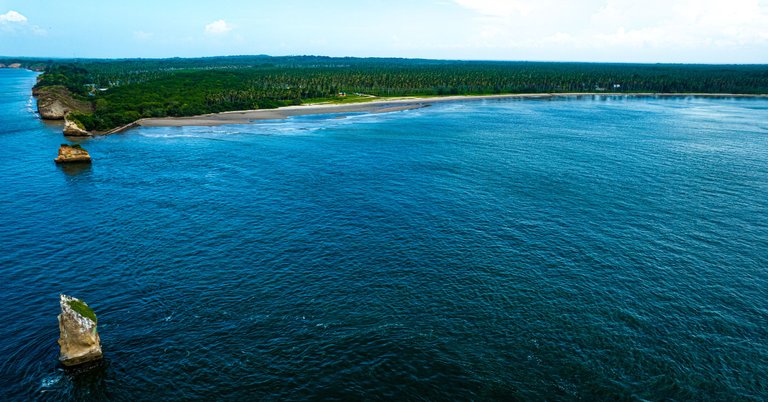
Sending the drone up, I immediately went to the right side of the bay that had eroding coastline that went northwards (as we were as southernmost as you could get, literally the bottom of the island). The above photo shows the view I saw in the drone feed; beautiful rock formations for miles! The orange/ sand colored cliff faces of sorts were a stark contrast to the green of the inner coast and made for such a beautiful sight.
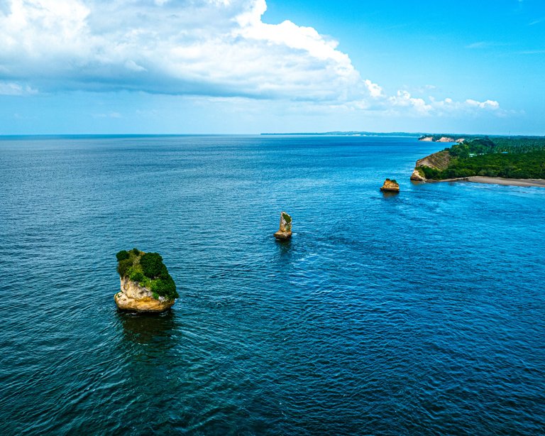
(The Three Sisters)
We finally get to The Three Sisters! They are large rock islands left over from coastal erosion over a vast amount of time. They stand solemnly amidst the ocean. I send the drone all the way out to capture them from that direction. I had so much fun going up close to islands to see what they had on them and so on, there were literally just large amounts of sea faring birds as well as various trees and shrubberies.
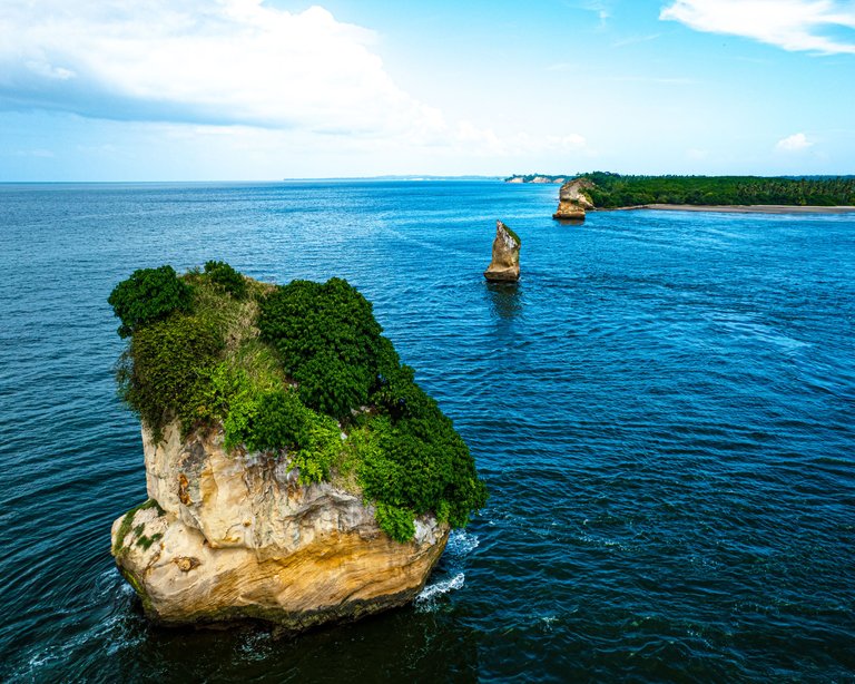
(A closer view of the outermost of The Three Sisters)
Now they look pretty small here but I assure you that these are pretty large, there are a lot of pictures on instagram with boats and humans sailing past near the rocky islands and when you get that sense of scale via comparison, those things are HUGE! I'm sorry I did not get any photos of them with any people or boats around but I guess you're going to have to just imagine for now.
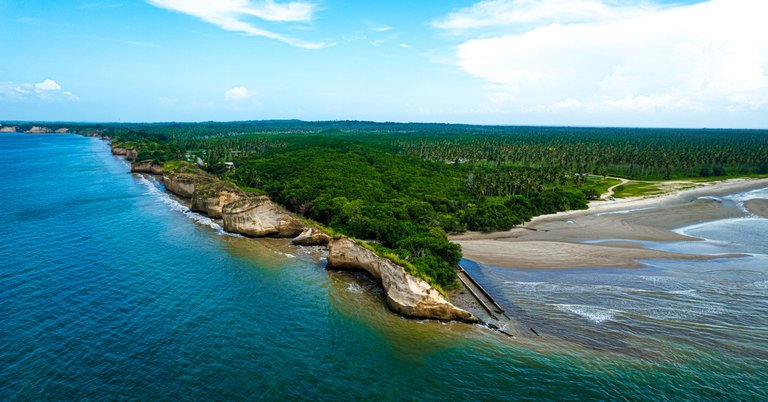
The drive was long and tiresome and even worst yet, so was the journey back, a true all day adventure but the locations and gems of photos that we got were well worth it. I would even go as far as to say priceless! The perspectives and directions from which the photos were taken were quite rare and that is more than enough for me. Icacos has a quiet allure to it that cannot be described and all I could think about was the rich and complex history of the area. As I headed for home, I could not help but have the images I witnessed for the first time that day, echo in unison with the aforementioned history in my head.
Your content has been voted as a part of Encouragement program. Keep up the good work!
Use Ecency daily to boost your growth on platform!
Support Ecency
Vote for new Proposal
Delegate HP and earn more
Congratulations, your post has been added to Pinmapple! 🎉🥳🍍
Did you know you have your own profile map?
And every post has their own map too!
Want to have your post on the map too?