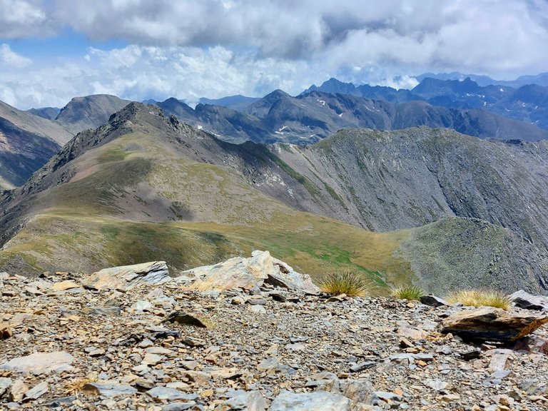
Here we are standing on top of Mount Estanyo looking out over the mountains towards our next destination for the day. Its an un-named peak followed by a ridge hike and mountain pass just below the peak of Mount Serrera.
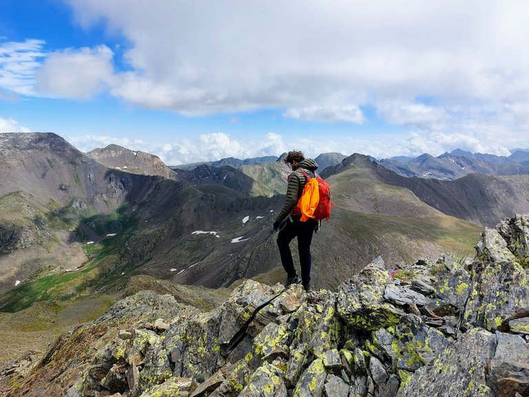
Well, there's no sense standing around when we have so much further to go. Lets get to it.
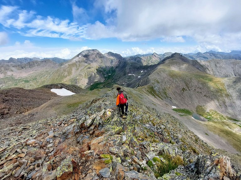
I couldn't find the name of the next mountain that we climbed but according to google maps its peak is at an elevation of approximately 2700m.
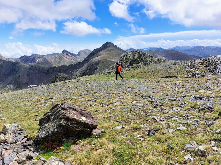
To get there we had to hike down from Estanyo, cross a very wide ridgeline and then hike back up a couple hundred meters to get to the peak.
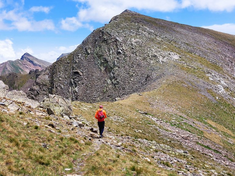
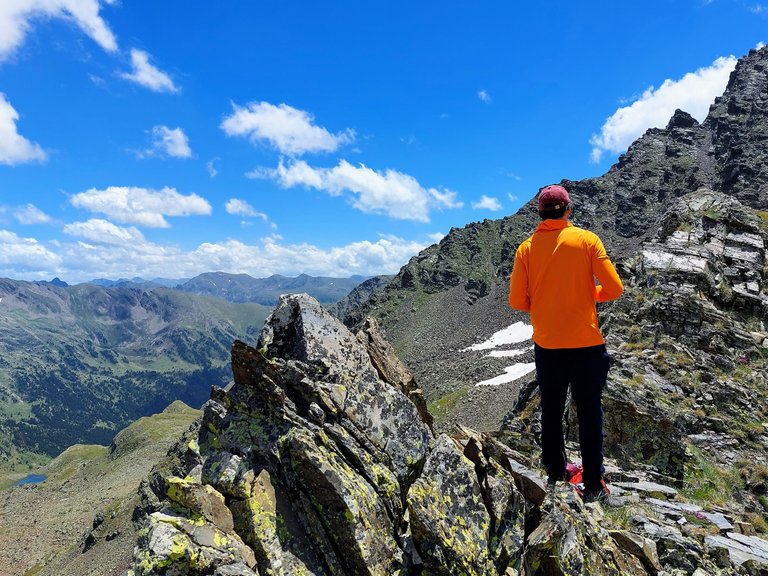
It was less windy and much warmer once we started so my friend took off his jacket and adorned his bright orange sweater.
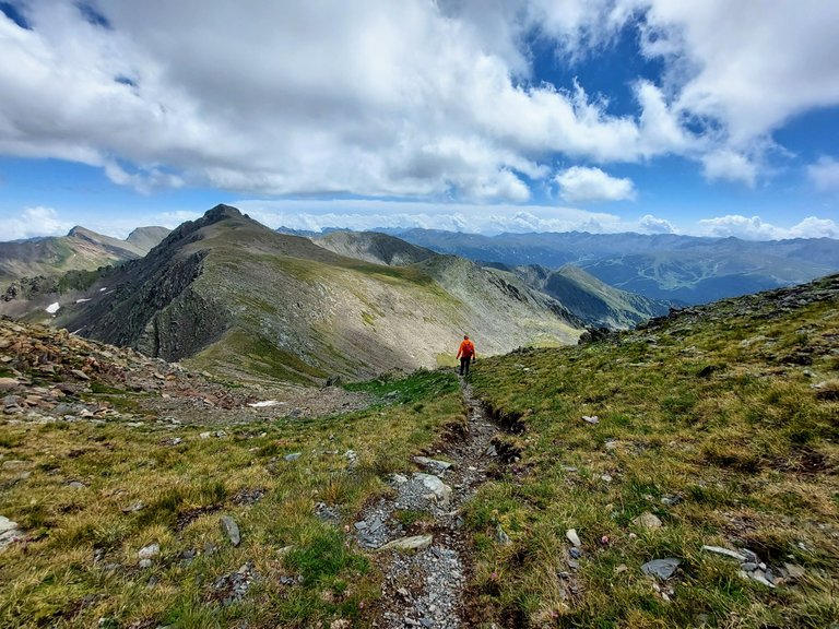
I've since realized that bright orange is a great color to wear when hiking in the mountains. I highly recommend it.
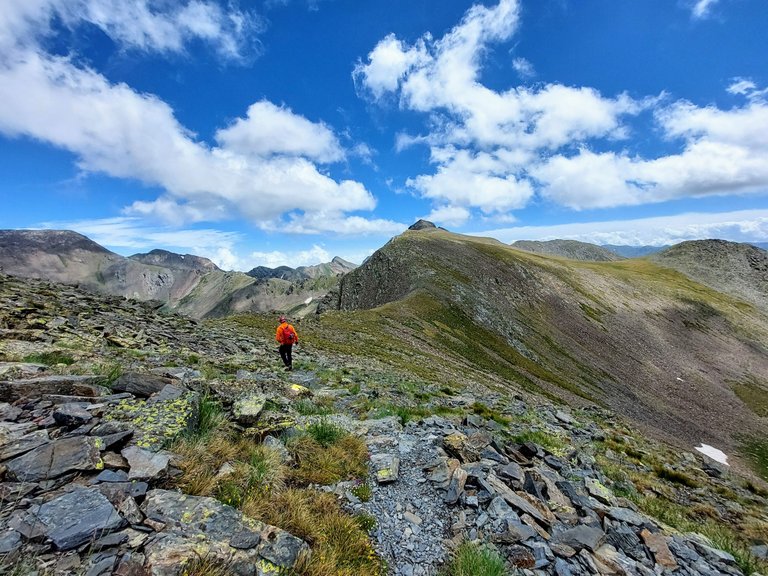
It really stands out in photos and pops nicely against a blue sky background. You'll see what I mean a little later.
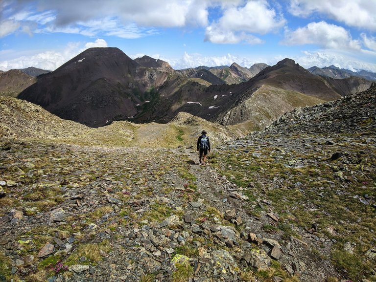
My black coat and shorts had sort of the opposite effect. I tended to blend in with the scenery in the photos.
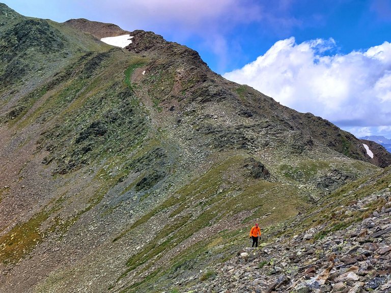
I somehow got ahead of my friend at one point.
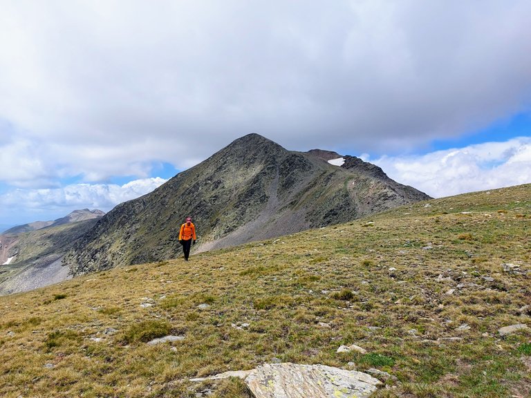
Here we are walking across that wide ridge I mentioned. You can see Peak Estanyo in the background in the photo above.
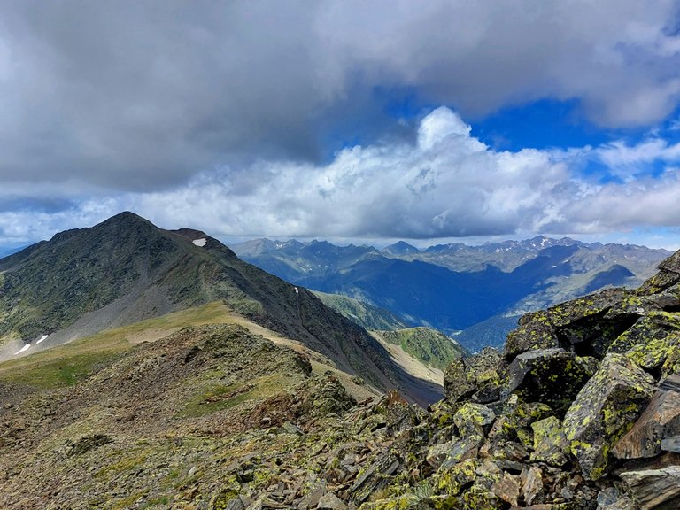
Here it is again (above) as seen from the base of our next, much smaller, peak climb.
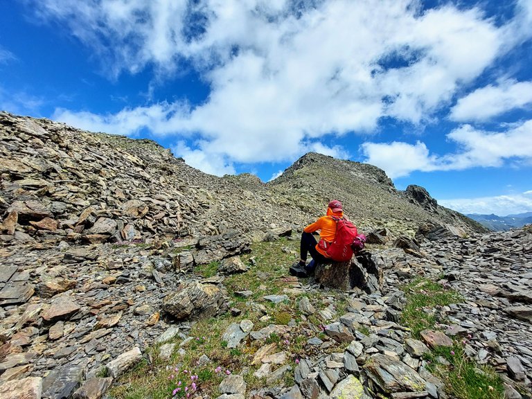
We took a short break here before climbing to the top.
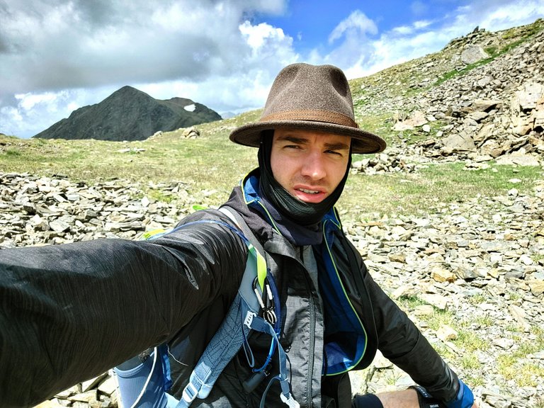
We probably didn't need it. It wasn't a particularly long or difficult climb. But is did give me a chance to take another selfie with Mount Estanyo.
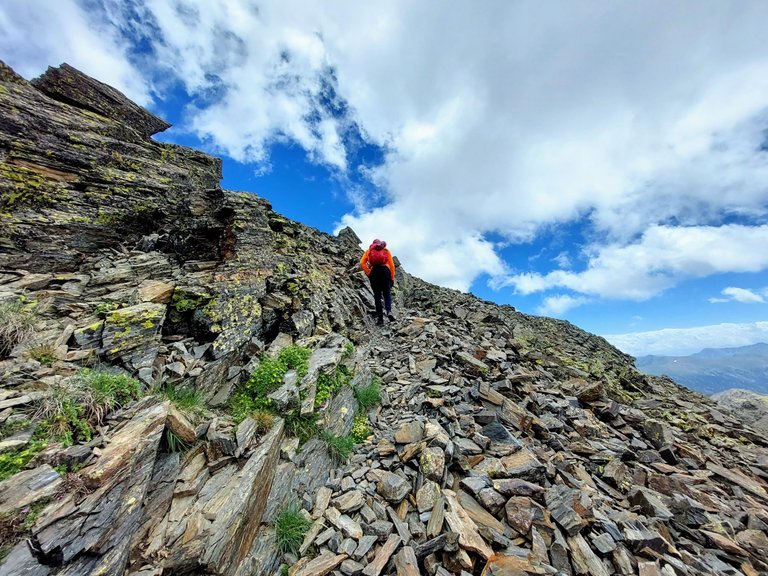
One last push and we made it to the top.
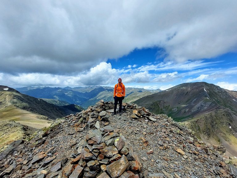
Try and tell me that orange isn't the best color for hiking in blue sky mountains.
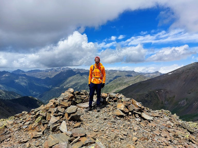
I told him to point over to where we had just come from.
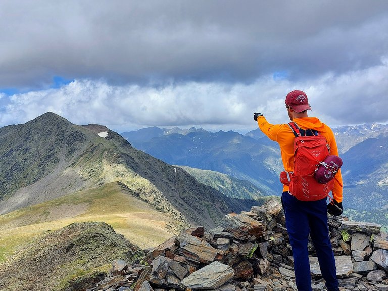
The view from this point was pretty incredible.
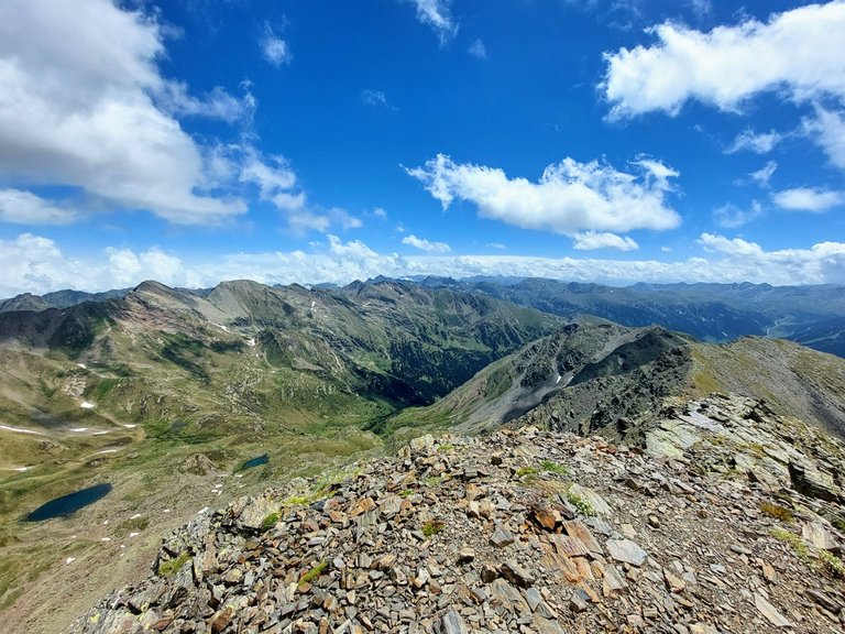
But then, it was pretty incredible everywhere that day, really.
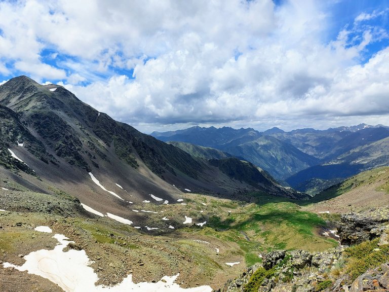
The photo above was the view from the opposite side.
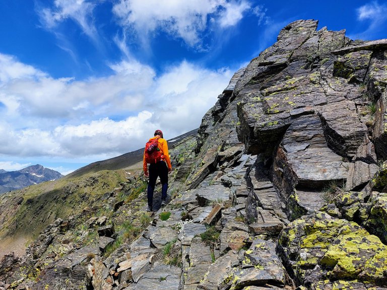
And we're moving on.
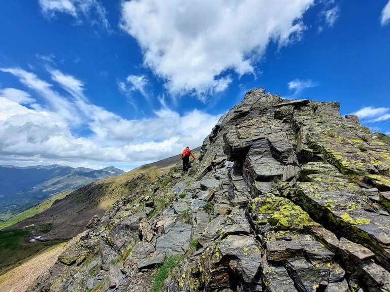
Heading down and around.
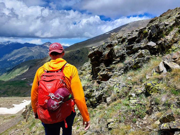
Here we are working our way over to a ridge between two mountains.
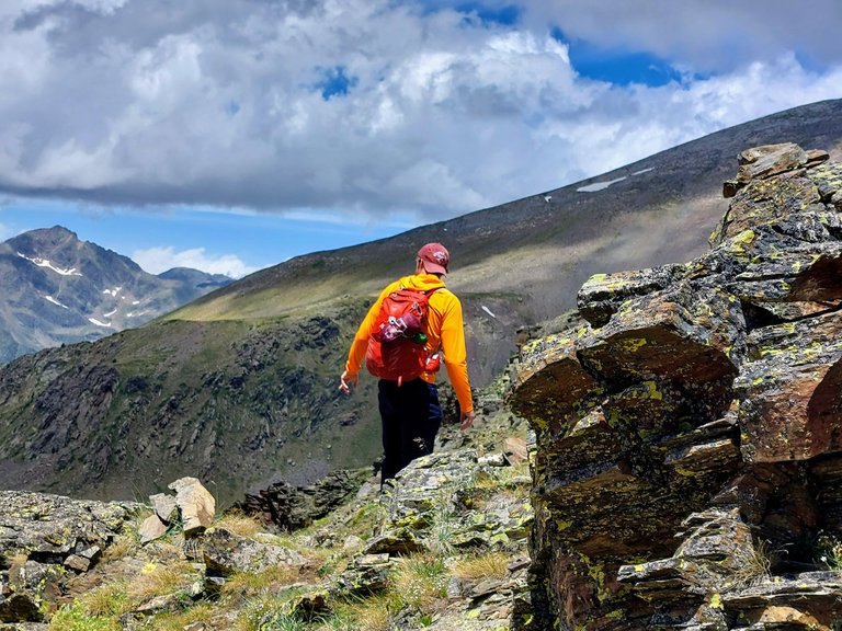
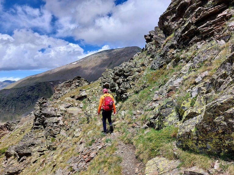
In the photo below you can see the ridge that I'm referring to along with Mount Serrera in the background.
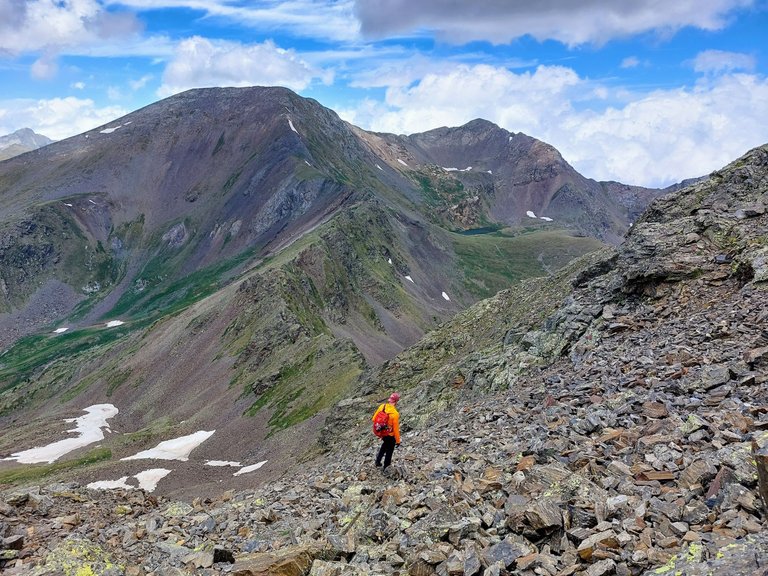
The ridge doesn't look like much from this distance but it was actually a pretty serious hike in some places.
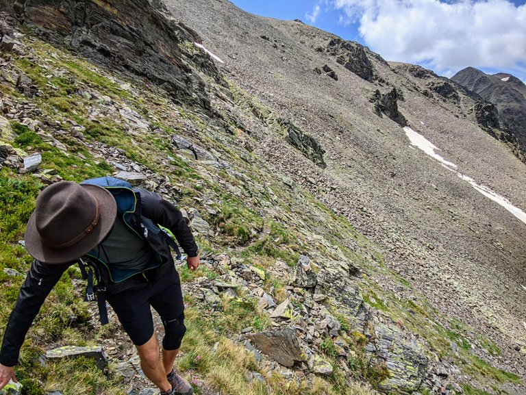
You will see what I mean as we get closer.
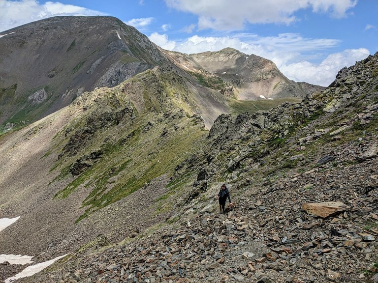
The hill here was very steep and the shale rock that you can see in the two photos above was deep and very loose. My feet were buried up to my ankles walking through it and it came down in a rock slide, pulling down larger and larger rocks as we made our way down the mountain. We had to split up a bit to avoid rocks tumbling into the other person.
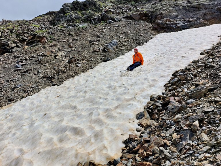
The rocks were ankle breakers in some cases, but we made it out of there without any issues. We had some fun along the way as well.
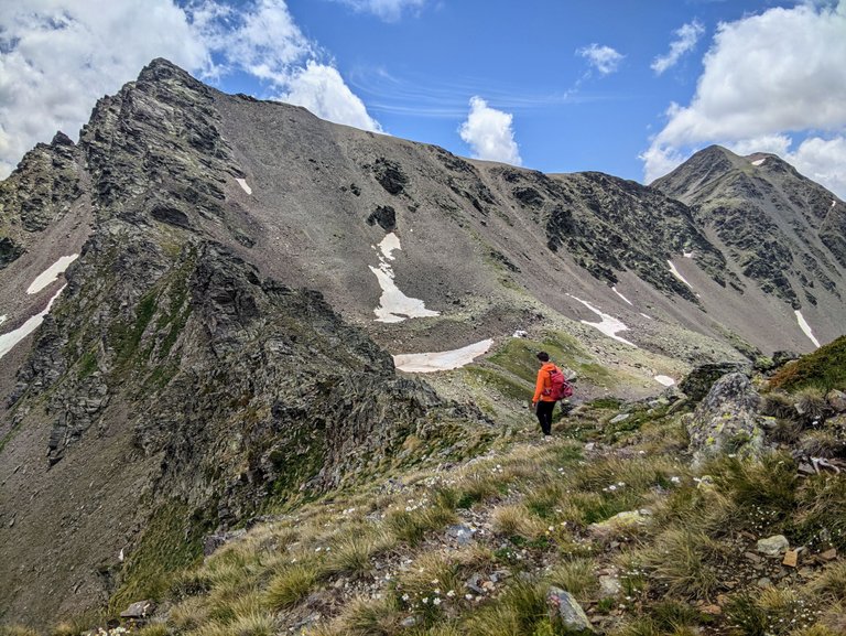
We are getting into the ridge line now.
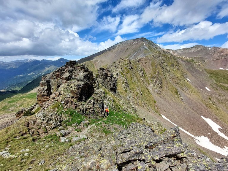
From far away the rocks don't look like much.
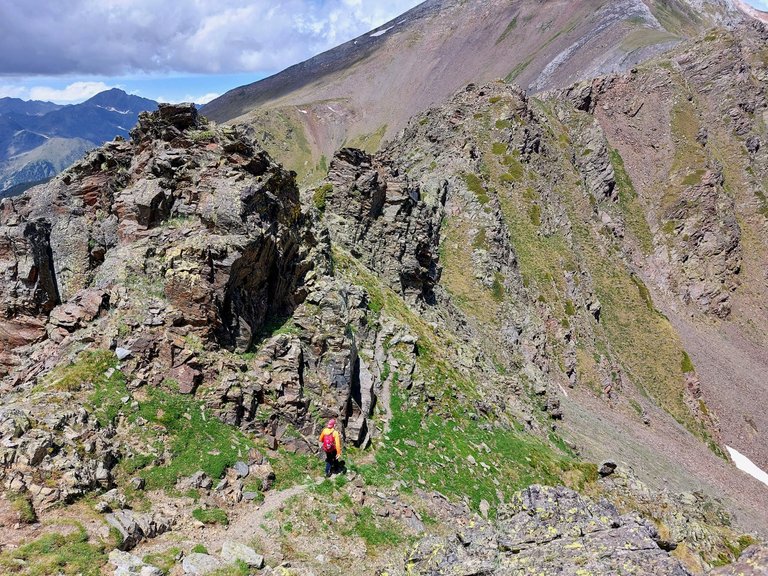
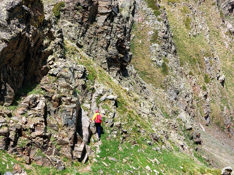
But as you get closer you can see that they are much larger than they had appeared previously.
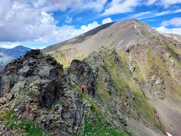
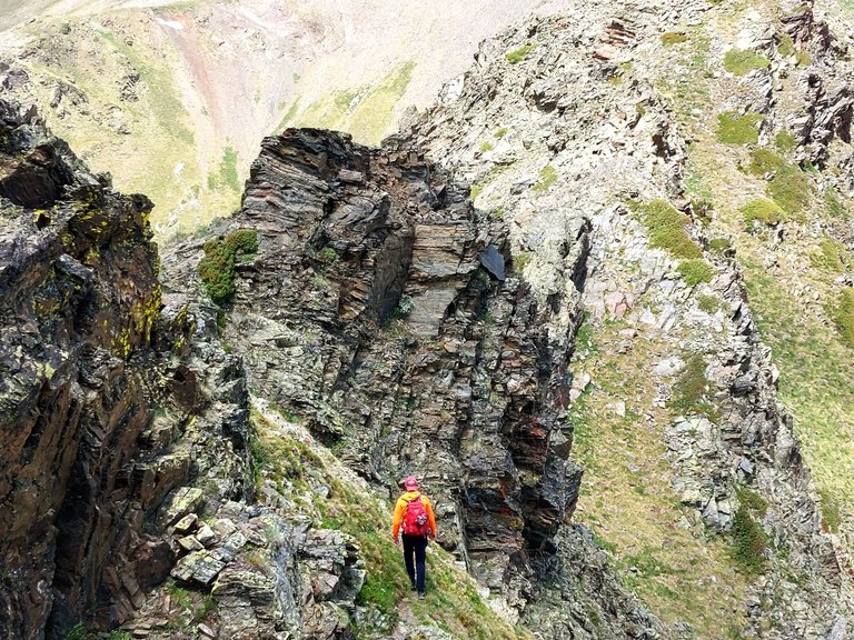
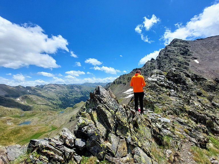
The path was quite steep and a little precarious in some places.
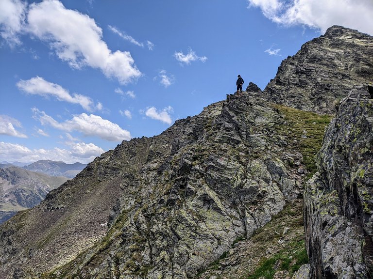
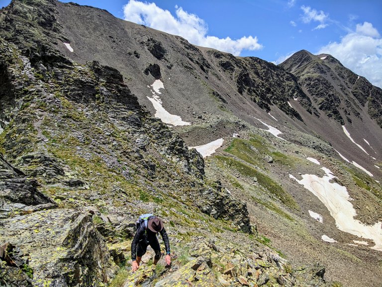
There was a moment or two when I felt a little scared.
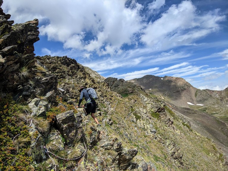
Just for a moment.
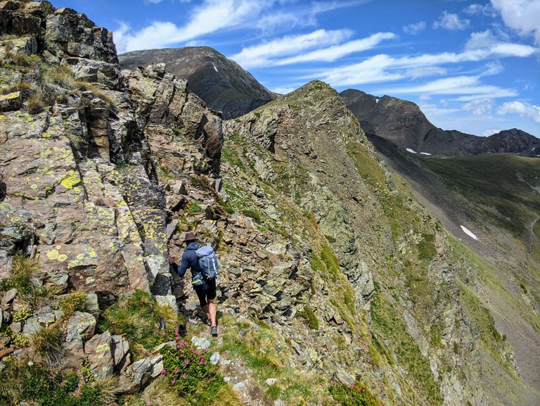
Me contemplating on whether or not I would survive a fall from here.
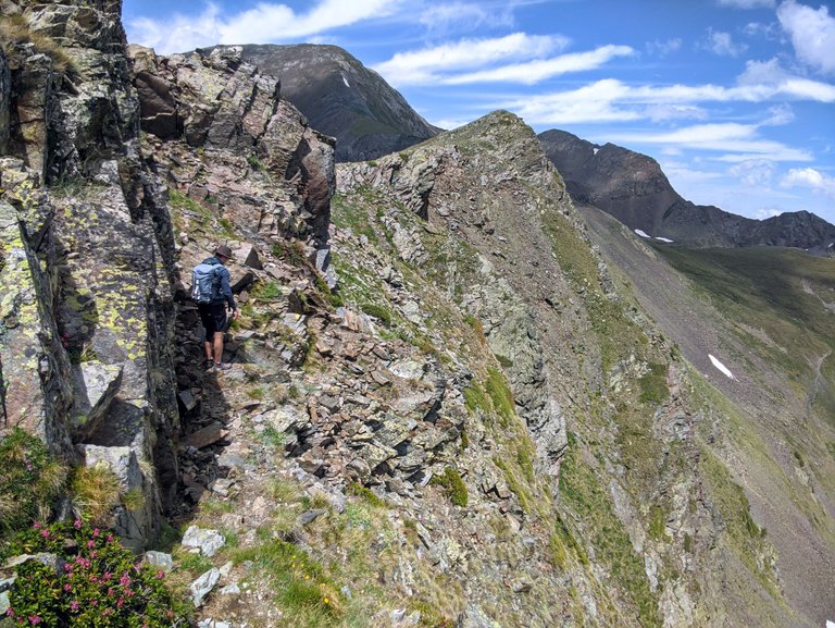
There was actually some mild climbing involved, which I was a little surprised by.
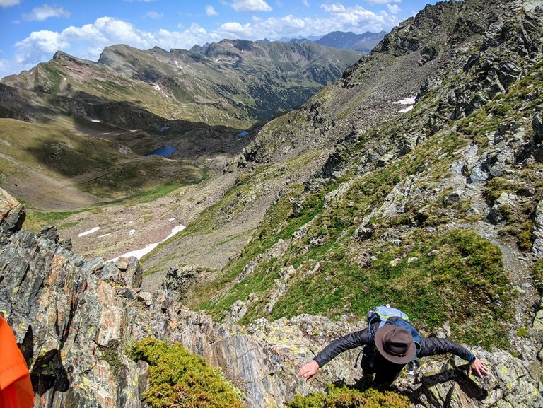
Looks like a good place to pull out the drone again.
Drone image below.
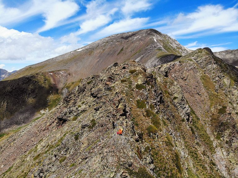
You can't see me in the photo but my friends orange sweater came through for us again.
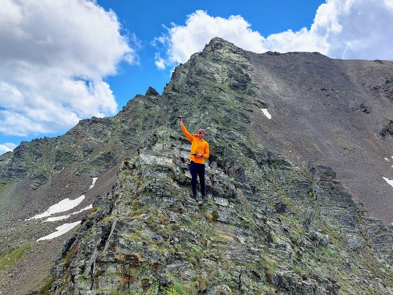
It was somewhere around here, immediately after messing with the drone, that my friend lost his hat for the second time during our trip.
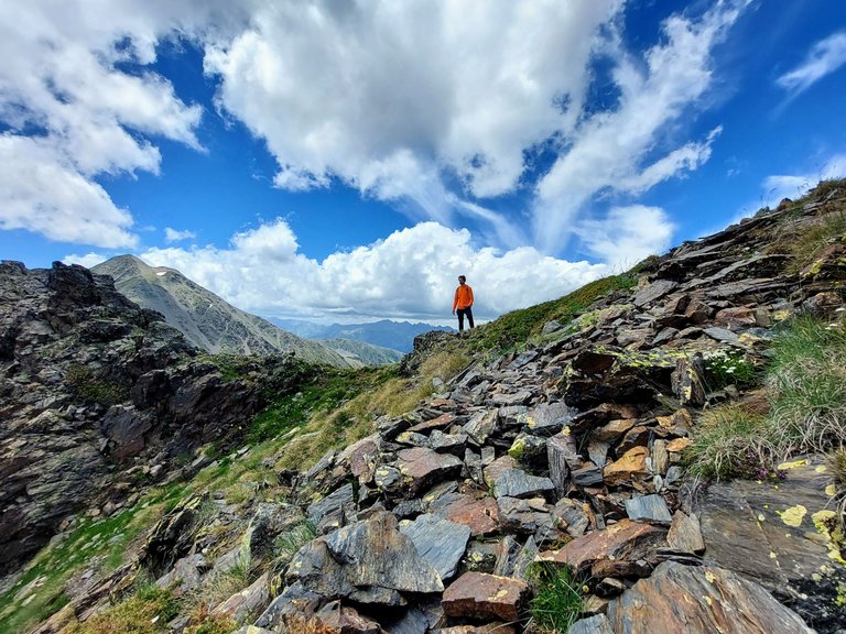
A gust of wind blew it off his head and sent it tumbling down the mountain.
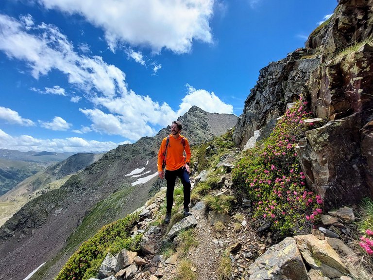
It was the second time that I said out loud "Well that's the end of that I guess," only to be proven wrong by him climbing down and retrieving it. It took him a little longer this time and this spot was way more dangerous then the previous location, but he was insistent on getting it back and in the end he managed to do so.
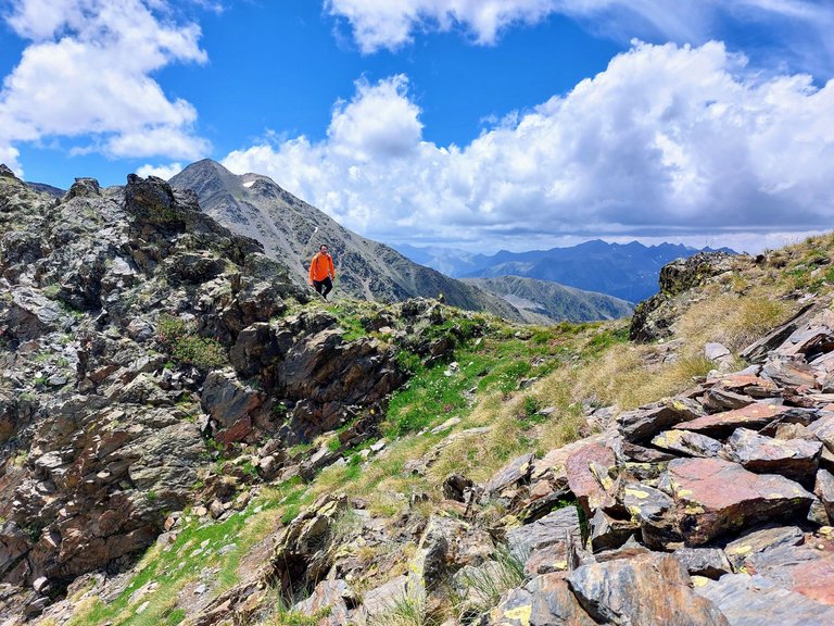
He kept it in his backpack for the remainder of our time on the ridge though.
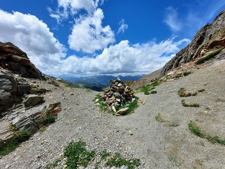
We reached the pass just under Mount Serrera shortly after that.
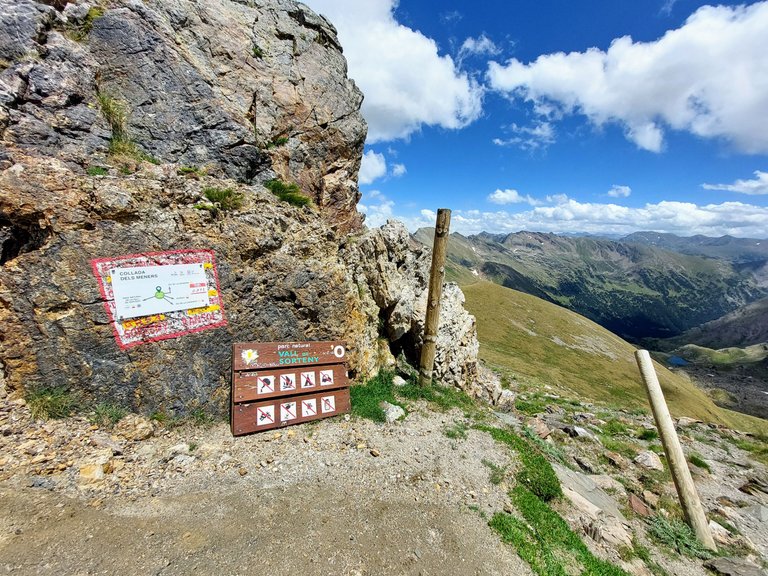
I'm just guessing here but I'd say that this section of our hike probably took us around two hours to complete. It wasn't overly difficult, but it was probably the most technical spot that we experienced over the course of our three days on the mountain.
The rewards earned on this comment will go directly to the people( @storiesoferne ) sharing the post on Twitter as long as they are registered with @poshtoken. Sign up at https://hiveposh.com.
What an awesome hike there. What was the temperature up the approximately?
I can't remember exactly and we didn't check it but I want to say between 15-20°C depending on time of day and/or elevation on the mountain. It was cjilly at times but never cold. Warm but never hot. It's was good hiking weather actually.
Wow! No lie! I think this would be challenging, if only for the footwork involved. :) I am surprised, actually. The orange is the perfect color and especially in the picture, shows off nicely.
I'm tired now! Let's take a rest!
Merry, merry to you and the wife!
Yeah there were a few precarious locations along the way.
Merry Christmas and happy holidays to you as well.
The view is stunning as is, but the photo composition is outstanding!
I reckon you'd land on two feet!
Haha like a two legged cat 🐈
😂
Exactly! I knew you would
agreeconfirm 😆What a wonderful mountain hike! Made me wanna head off to a mountain excursion soooon! Thanks for sharing :D
The mountains are calling you
right?! i gotta reply back!
I totally agree about the incredible contrast between the arid landscape and the beautiful blue sky, and also that striking orange of your friend hahaha, the pictures are amazing, it looks so but so huge everything that just looking at the images I feel it's exhausting hahaha well it's a matter of habit.
Yes it is true that in the end the images reflect a greater complexity on the way, but you have achieved it without serious inconveniences, so you must be more than satisfied.
Yeah bright colors are the way to go for hiking attire.
Yeah we were pretty satisfied with the hike in general
Wow that place is really amazing is like walking on the top of the world , hiking there should be very demanding , thanks for sharing
Yeah we were pretty high up at that point. Great views from up there lol
Congratulations, your post has been added to Pinmapple! 🎉🥳🍍
Did you know you have your own profile map?
And every post has their own map too!
Want to have your post on the map too?
Congratulations @leaky20! You have completed the following achievement on the Hive blockchain And have been rewarded with New badge(s)
Your next target is to reach 550 posts.
You can view your badges on your board and compare yourself to others in the Ranking
If you no longer want to receive notifications, reply to this comment with the word
STOPTo support your work, I also upvoted your post!
Check out our last posts:
Support the HiveBuzz project. Vote for our proposal!
Yay! 🤗
Your content has been boosted with Ecency Points, by @dandays.
Use Ecency daily to boost your growth on platform!
Support Ecency
Vote for new Proposal
Delegate HP and earn more
Thanks @dandays
That's very much appreciated 😁
That s a really wild place to do hikking, really awesome man!! so pretty
Yeah it was a beautiful location for sure. 👍
Hiya, @ybanezkim26 here, just swinging by to let you know that this post made it into our Honorable Mentions in Daily Travel Digest #1736.
Your post has been manually curated by the @pinmapple team. If you like what we're doing, please drop by to check out all the rest of today's great posts and consider supporting other authors like yourself and us so we can keep the project going!
Become part of our travel community:
Ho Ho Ho! @leaky20, one of your Hive friends wishes you a Merry Christmas and asked us to give you a new badge!
The HiveBuzz team wish you a Merry Christmas!
May you have good health, abundance and everlasting joy in your life.
To find out who wanted you to receive this special gift, click here!
You can view your badges on your board and compare yourself to others in the Ranking
Check out our last posts: