It is March 9, 2024, where the trail race has started in Rimbik village and on the other hand, my work in the race has started. There are 3 categories in the race, the first is of 65 km, the second is of 30 km and the third and shortest is of 12 km in which the least number of runners participated. The total number of runners including both 65 km and 30 km is 150. Those running 65 km have to complete the race in 15 hours and those running 30 km have to complete the race in 7 hours.
This race is known as “the buddha trails” and is held in Shingalila National Park located on the India-Nepal border. This is the sixth edition of the race and I have been a part of this race since the first year. Like every year, this year too my job will be to do photography in the race and manage the hydration points. In the last few years, there was Semin Sandphu which is the highest peak of West Bengal whose height is 3636 meters. This year I have to stay on the 30 km route.
Even though my work in today's post was race photography, I am only going to tell you about my experience of walking from village to village. According to GPS, I covered 28.9 km with an elevation gain of 1427 meters. Today in this 28 km walk, I saw 7 villages, although I have been to all these villages before but today is a little different, today I walked fast and focused on my work without wasting much time.
 Created in adobe photoshop
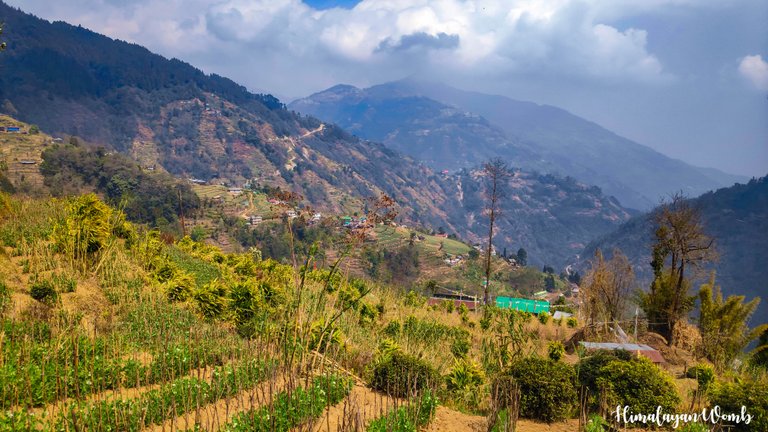 Shano village
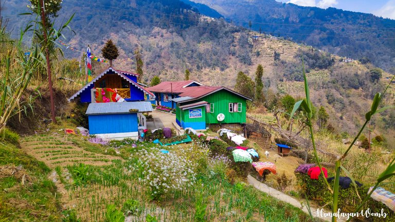 upper sepi
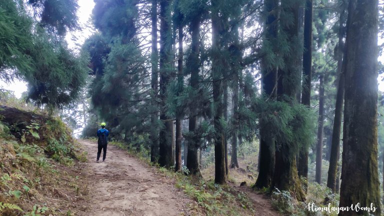
Let's start:, Starting from Rimbik village, I went to Shano village after crossing Mane Monastery. The climb that started from Rimbik is not over yet. This climb continued till we entered the Black Forest and this climb contributed a lot to getting the bag on my back wet. Sweat was running from my ears to my waist as if there was a race. Before entering the Black Forest, I stop and drink two sips of water and enter the forest. There will be no sunlight from here and the route also descends till Shrikhola river.
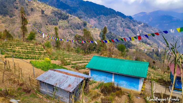 Gurdum village
Till now I have crossed 2 villages and am moving towards the third village named Gurdum. The height of Gurdum village is 2945 meters, to reach which I had to cross a river and overcome the challenge of climbing the last 300 meters long. After getting the station of Gurdum village set at the right place and in the right way, now I have to proceed towards Timbure village which is about 2.5 km from here.
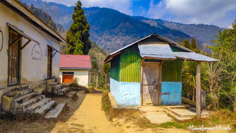 upper shrikhola village
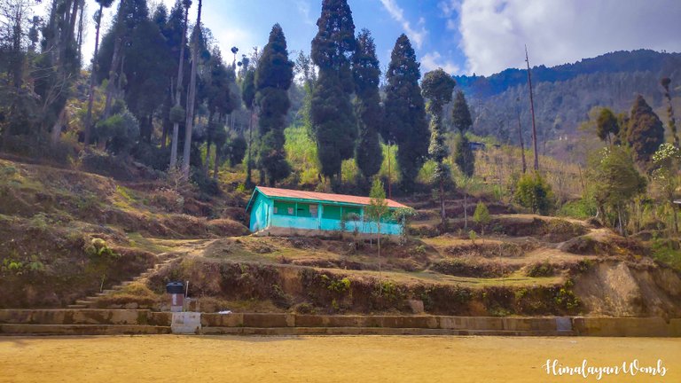 Upper shirkhola village school ground
There is a descent from Gurdum to Timbure village and there is a forest path. I enjoyed this walk a lot because here I again saw the pond in which we had taken bath 3 days ago. There is no station in Timbure, so I stop to see the views here and click photos from my mobile and start climbing up. Now we have to go to Upper Shrikhola village, 3 km away from here. There is a school in the village where the station is to be installed. Earlier a jeep track was made till Upper Shrikhola but 3 years ago due to landslide during monsoon this road got broken and the movement of vehicles stopped.
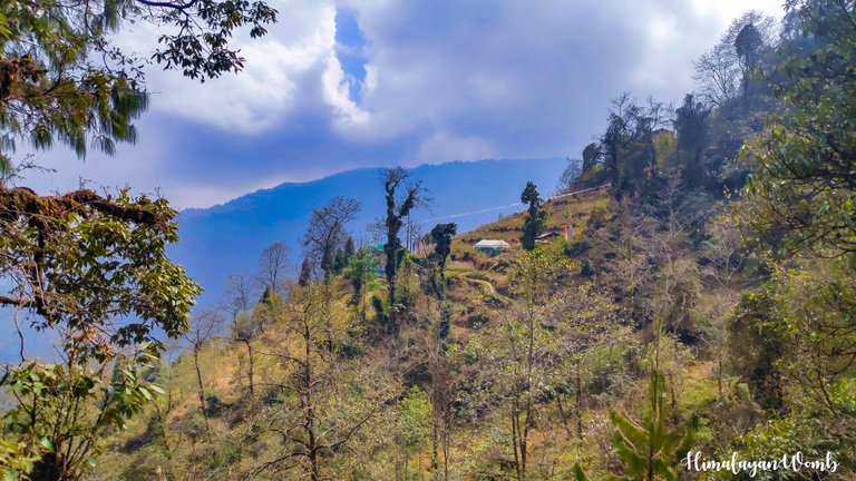 kalyan village forest
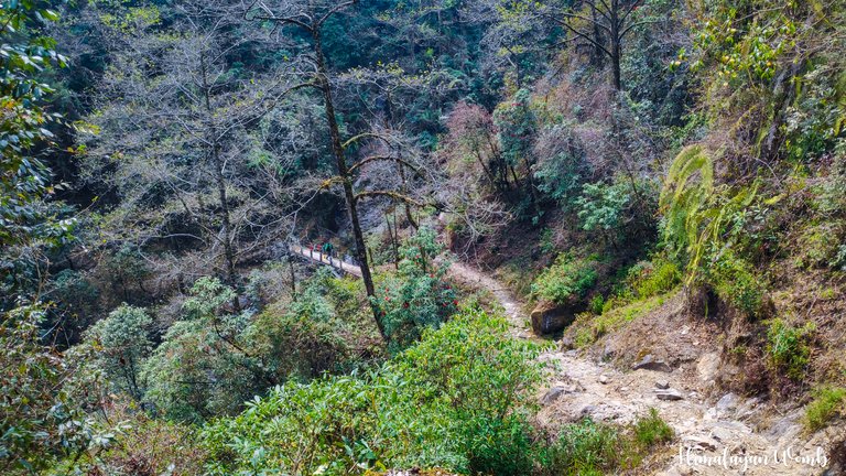 Black forest trail
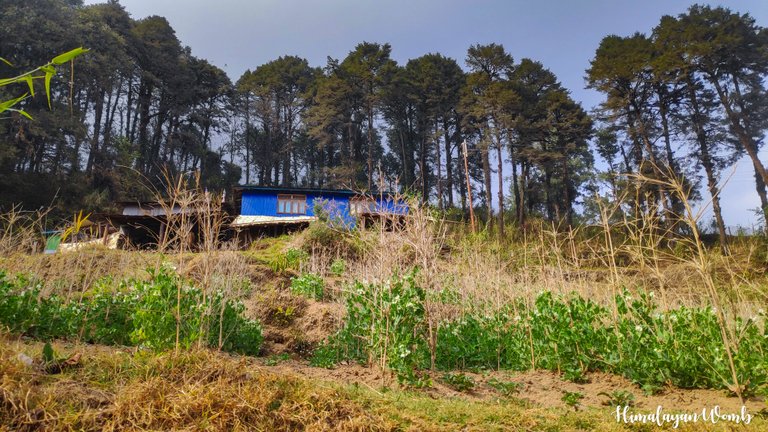
I reach school in about 40 minutes. It is daytime so all the villagers have gone to the fields and the village is almost empty. I pass by the school playground where the race's hydration point is placed at the right place. After a little talk, I move towards Kalyan village. Kalyan village is 6 km away from Upper Shrikhola village and where I have to reach before the runner reaches there. By the way, by looking at the photos you will not be able to understand which village is which because the structure of all the houses here is exactly the same.
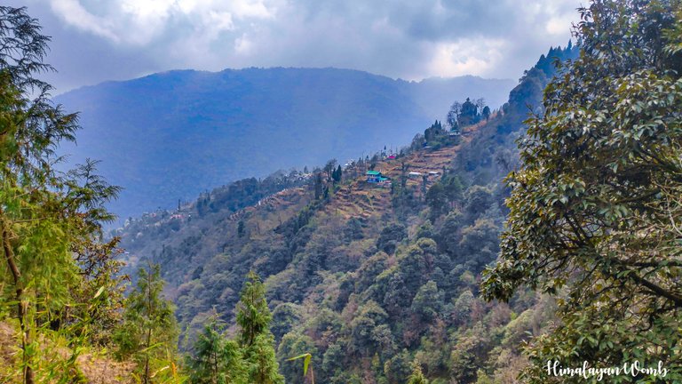 Gurdum village in distance

After crossing the Kalyan forest and some water streams, I reach Kalyan village. By now it is 2 o'clock in the afternoon and I am quite tired. After reaching Kalyan, I drink water and think that I wish I had brought a banana and a chocolate or two with me, which I could not because I had left in a hurry in the morning, and on top of that, I have a big bag on my shoulders which is crushing my chest. . If I am asked which is the most beautiful forest after the Black Forest, then I will unconditionally place the name of Kalyan Forest as the second one.
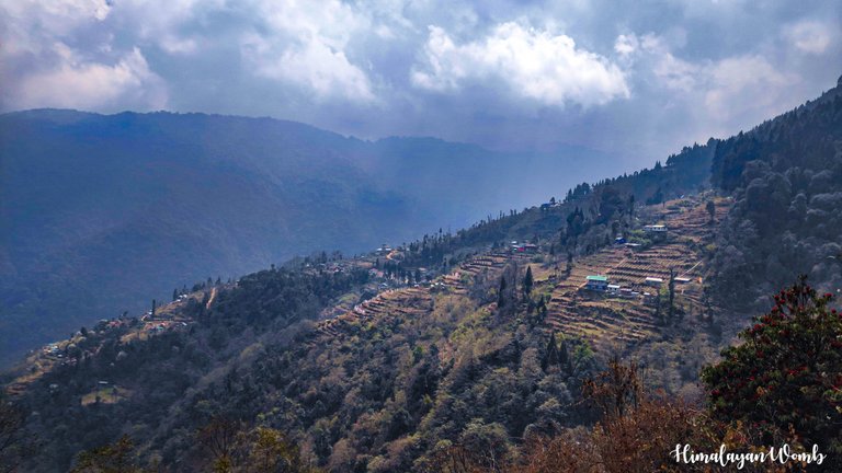 Gurdum village
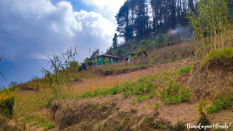 Timbure village
Shrikhola Bridge is 5 km from Kalyan, there is descent from here but now you will have to walk on the paved road and not on the trail. The descent is quite steep so my legs were not able to control themselves while walking. Dara village and Shepi village were visible from here. The pleasure of seeing the valley from a height cannot be compared with any other pleasure. If I had been here at sunset, I would have seen a very spectacular view of the sunset.
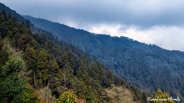 Black forest
 Kalyan forest trail
In one and a half hour I reach Shrikhola Bridge where I eat banana and a chocolate at the hydration point. Here it is revealed that the 30 km winner has set a new record by breaking the course record and this new time is 02:23 minutes. I was very happy to know this and now I have to reach the finish line as soon as possible which is in Rimbic village so that I can meet the winner. Rimbik is another 6 km from here which takes me 2 hours to reach. Jakar in Rimbik I look for the winner but no he is not found. On asking, it is revealed that his name is Hemant and he left for home because he lives in Sikkim.
 Dara village
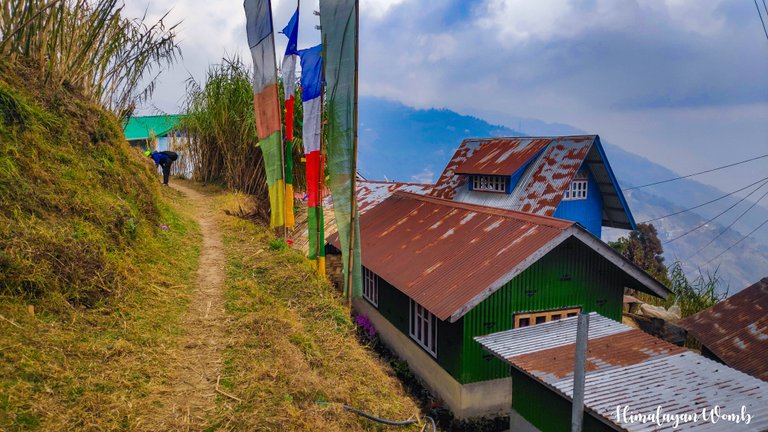 Kalyan village
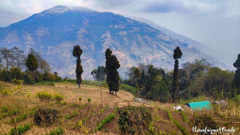 Kalyan village
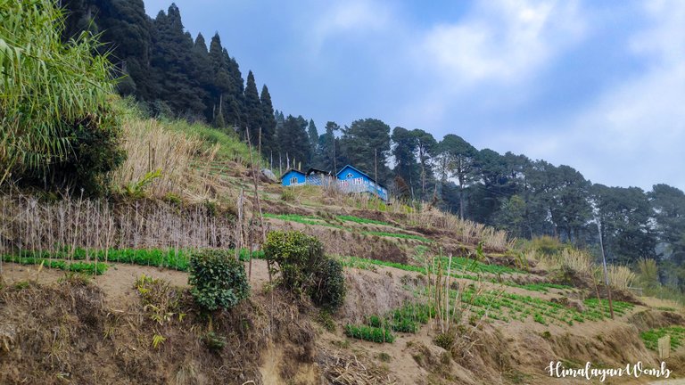 kalyan village
Well, this was my day which started at 6 in the morning and ended at 7 in the evening. I did photography with Sony a7iii and Canon 77D and as per the contract, I submitted the memory cards of my cameras to the media team so that the data can be transferred. In today's post, whenever I got time, I did photography from my mobile.
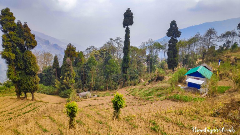 kalyan village fields
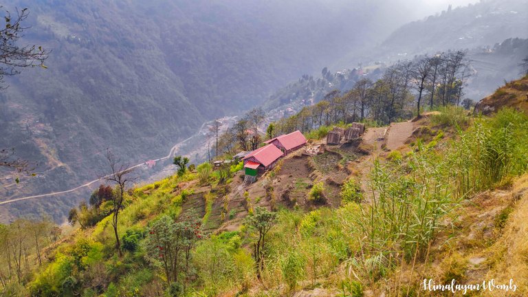 Shrikhola village
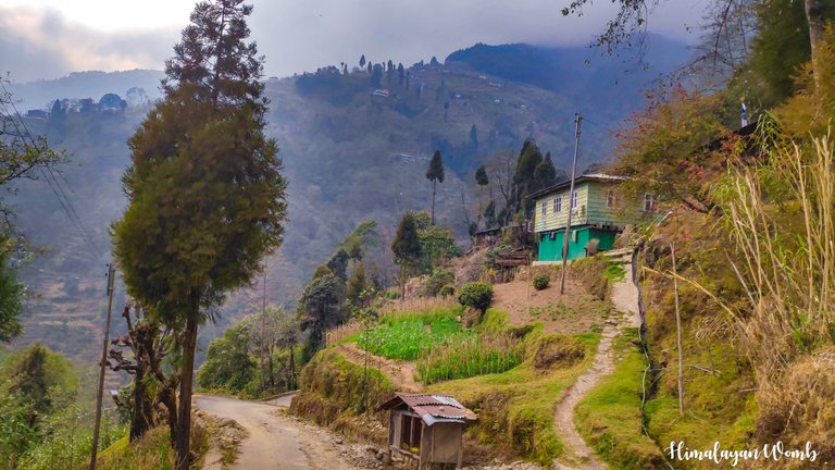 Shrikhola village
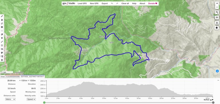 Screenshot from https://gpx.studio/
I hope you did not like this talk from village to village. So that's all for today and then with the story of some other village. Till then stay healthy and happy.
Disclaimer: This post is originally written in Hindi and I have used Google Translator to tranlate the Hindi text in English. All the photos have been clicked by me from poco f1 android smartphone and edited in Lightroom/photoshop.
Congratulations, your post has been added to Pinmapple! 🎉🥳🍍
Did you know you have your own profile map?
And every post has their own map too!
Want to have your post on the map too?
Thank you for sharing this captivating glimpse into your hiking adventure through the Himalayan villages. It's like we got to experience it right alongside you. Can't wait to hear about your next explorations in this stunning part of the world!😍
I am deeply grateful for the praise your words have shown me. I am glad that you liked the photos of the Himalayan village. Soon the next post will be in front of you about another hill village.
Well then I can't wait
Discord Server.This post has been manually curated by @steemflow from Indiaunited community. Join us on our
Do you know that you can earn a passive income by delegating to @indiaunited. We share more than 100 % of the curation rewards with the delegators in the form of IUC tokens. HP delegators and IUC token holders also get upto 20% additional vote weight.
Here are some handy links for delegations: 100HP, 250HP, 500HP, 1000HP.
100% of the rewards from this comment goes to the curator for their manual curation efforts. Please encourage the curator @steemflow by upvoting this comment and support the community by voting the posts made by @indiaunited.
thank you team. have a nice day
Travel Digest #2184.
Become part of our travel community:
- Join our Discord
Hiya, @ybanezkim26 here, just swinging by to let you know that this post made it into our Honorable Mentions in Your post has been manually curated by the @pinmapple team. If you like what we're doing, please drop by to check out all the rest of today's great posts and consider supporting other authors like yourself and us so we can keep the project going!It always helps me to keep writing and stay on hive. thank you for inspiring me every day