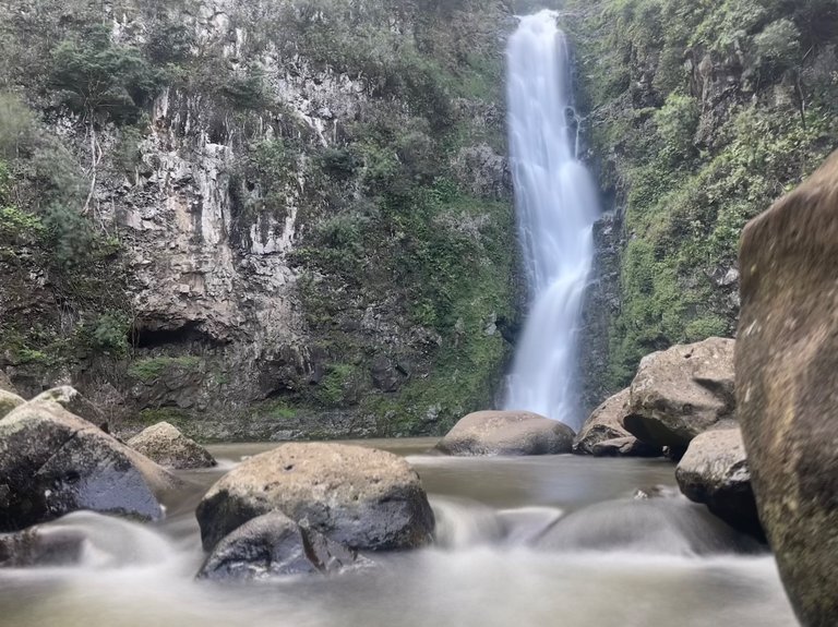
Mo'oula Falls, at the back of Halawa Valley, was our hiking goal of the day. We followed the same trail that Hawaiians have been using for 50 generations. At one point 5000 people lived in this valley, but now the jungle has taken over and only 8-10 residents remain. Remnants of the ancient civilization are still visible, poking up out of the forest floor. We hiked past ancient walls, homesites, and temples on our way up the valley to the waterfall at the end.
Once you step foot onto the Hawaiian island of Moloka'i, you find yourself in a very exclusive set of people. With no stoplights, no chain hotels or restaurants, and very little tourism infrastructure, Molokai is a very seldom visited island. Even people that grow up in Hawaii, most have never explored this island. Which means it is exactly the kind of place that we want to share with our guests.
Today, we jumped into vans for an hour long drive from the small town of Kaunakakai, to the rainforest valley of Halawa. Halawa used to be the breadbasket of the island, with 5000 people working over 1000 farms at its peak. There used to be a school, a post office, and a swinging bridge across its river. However, a massive tsunami in 1946 changed all this. Folks had already started leaving the valley by then, for a promise of easier life up in the towns or other islands. But those that remained lost everything when a tsunami crashed ashore and traveled 1.7miles up the valley, ruining farms and destroying homes and walls.
Now only 10 or so residents remain living, full time, in the valley. We went to visit one of these families, who offer us a true Hawaiian cultural immersion, and a chance to hike through the rainforest up the valley to a sacred waterfall. I always have the feeling of being transported back in time to ancient Hawaii when I visit Halawa Valley.
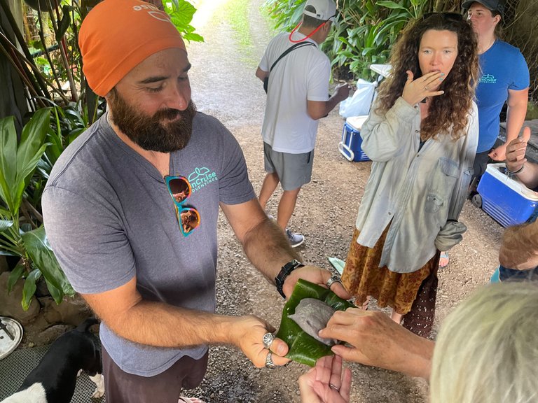
Sam hands out some freshly pound poi, a traditional Hawaiian food that turns the taro root into a purple starchy paste.
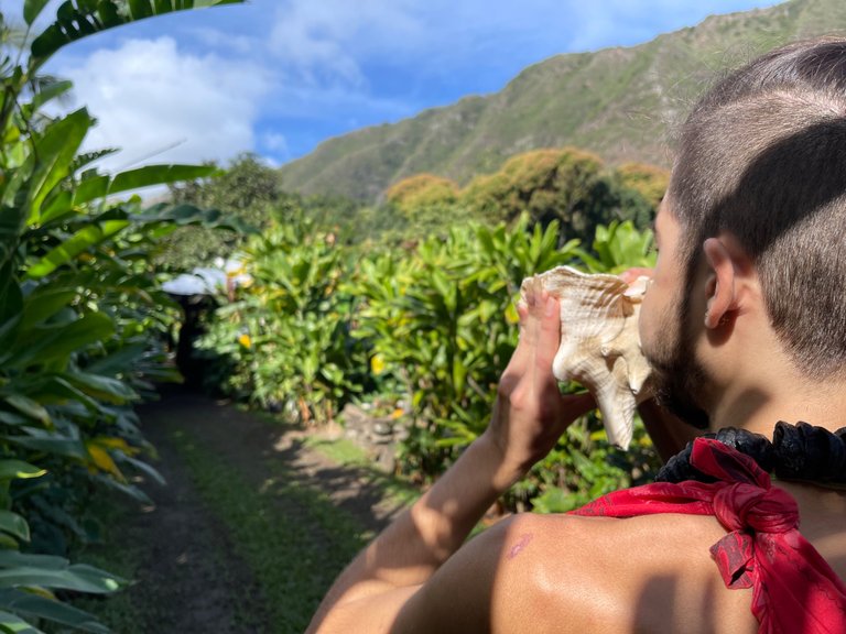
We learned Hawaiian protocol from a family of cultural practitioners. Here Devak is blowing the conch shell, or puu, to announce our arrival onto their land.
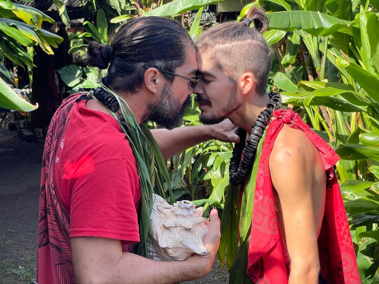
The Honi is the traditional Hawaiian greeting. You go forehead to forehead, nose to nose, and share the breath of life. After that, you are no longer strangers.
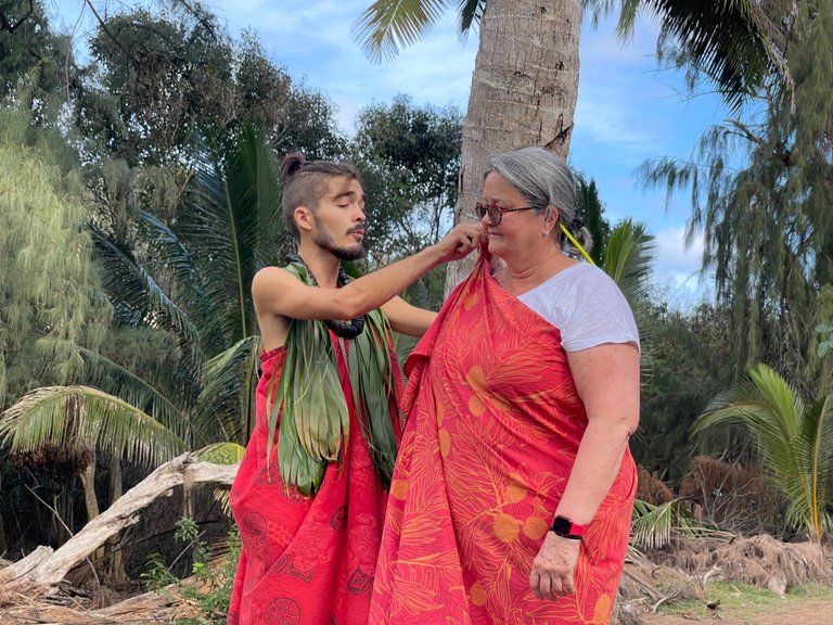
Deborah volunteers to be a gift presenter today.
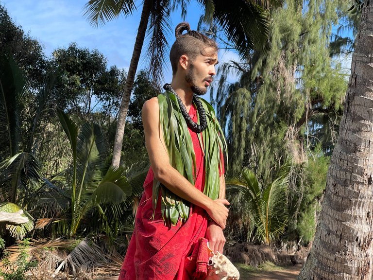
Devak gave us an introduction to Halawa Valley and to the history of his family here.... which dates back 50 generations.
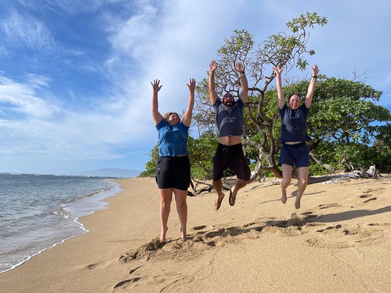
Our best attempt on a jump picture on the beach of Molokai.
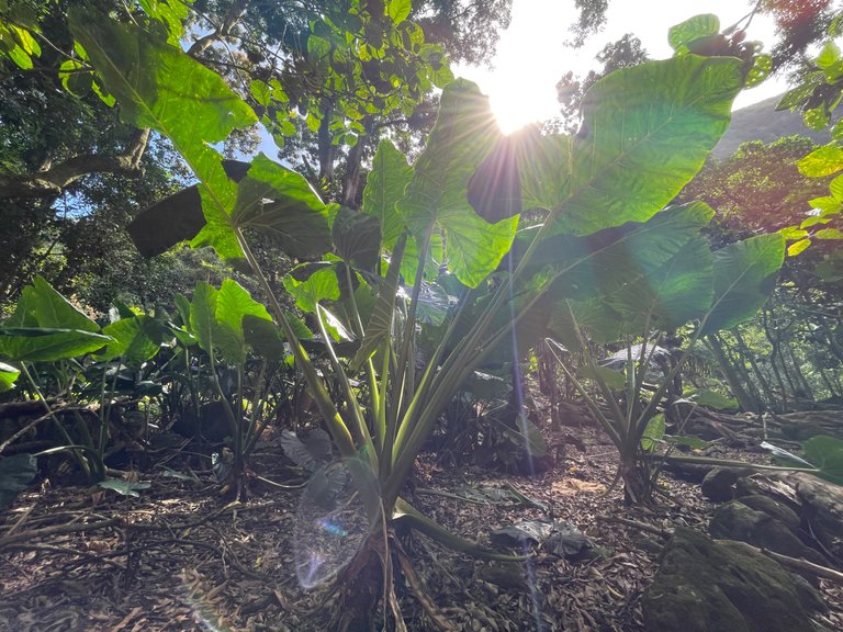
Giant elephant ears near the sacred temple of Lono, deep in Halawa Valley.
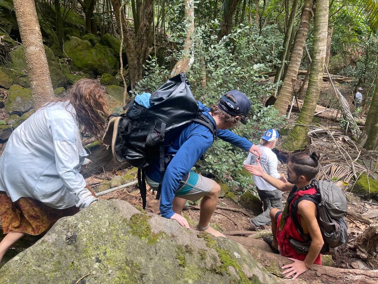
Scrambling down a steeper part of the trail, heading towards the waterfall.
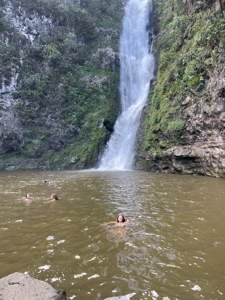
When you hike to a secret waterfall here in Molokai, and you have it all to yourself, you gotta jump in and enjoy a refreshing dip.
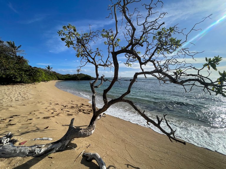
Beautiful beach on the eastern side of Molokai. We stopped here for a quick look on our drive to Halawa Valley.
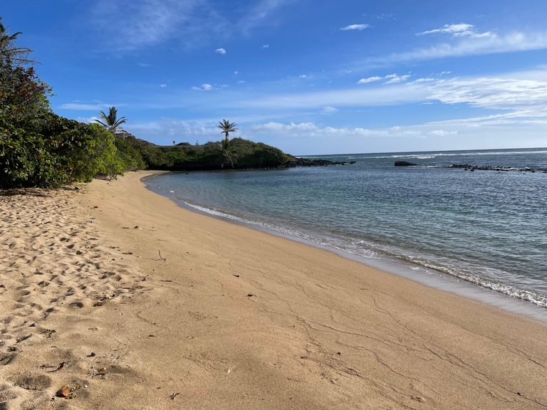
This is called Murphy's Beach, and is at mile marker 20. It is a popular beach to drive to, but if you want to snorkel, I would head 2 more miles to Sandy Beach, for clearer, calmer, and deeper water for snorkeling.
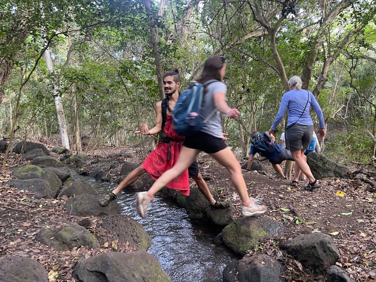
Crossing an ancient aquafer that is still in use today. This ditch diverts water from the river, downstream to the taro patches. The taro patches are built into terraces, so the water fills one then drips down to the next, always keeping the taro plants saturated.
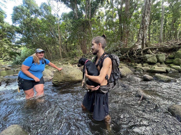
Devak, our guide for the waterfall hike, brought his new puppy, Medusa, along for the hike. He carried her across the river this direction, but she was able to rock hop her way back across on the way back. Devak was like a proud pappa.
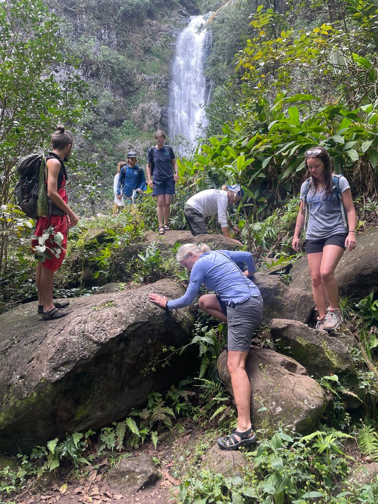
Mo'oula Falls in the background, as we scramble back over the large boulders.
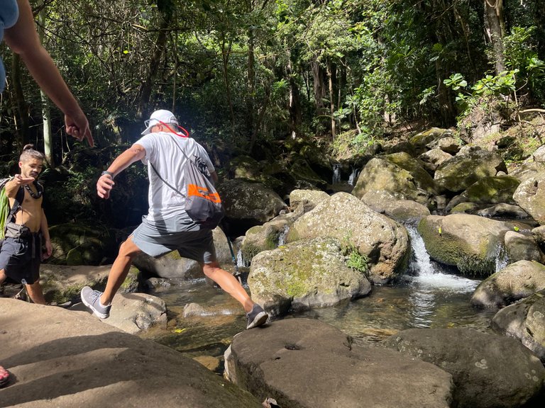
Rock hopping our way across the final river crossing before reaching the waterfall. This can be a tricky crossing when the water is flowing fast and the rocks are slippery. Luckily today was dry and beautiful.
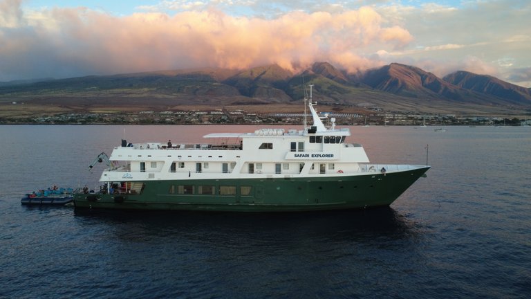
I took this drone shot of our ship right before we left Maui to go to Molokai.
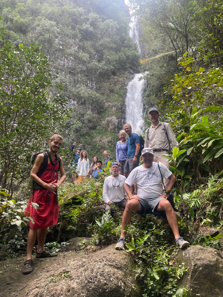
Group shot of our hardy waterfall hikers.
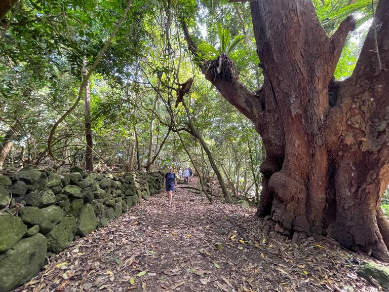
Heading up the trail, through Halawa Valley, you pass ancient rock walls and massive mango trees like this.
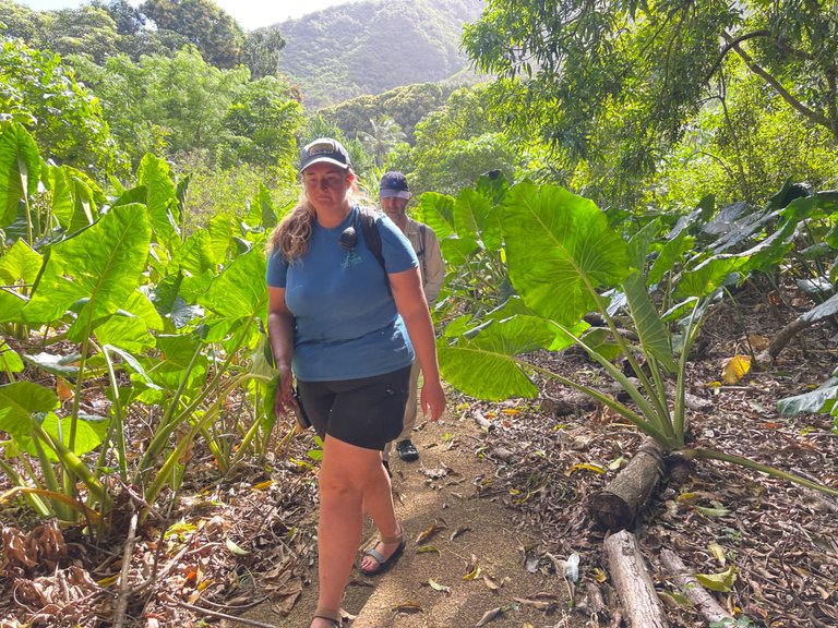
The very beginning of the hike took us through a forest of elephant ear plants.
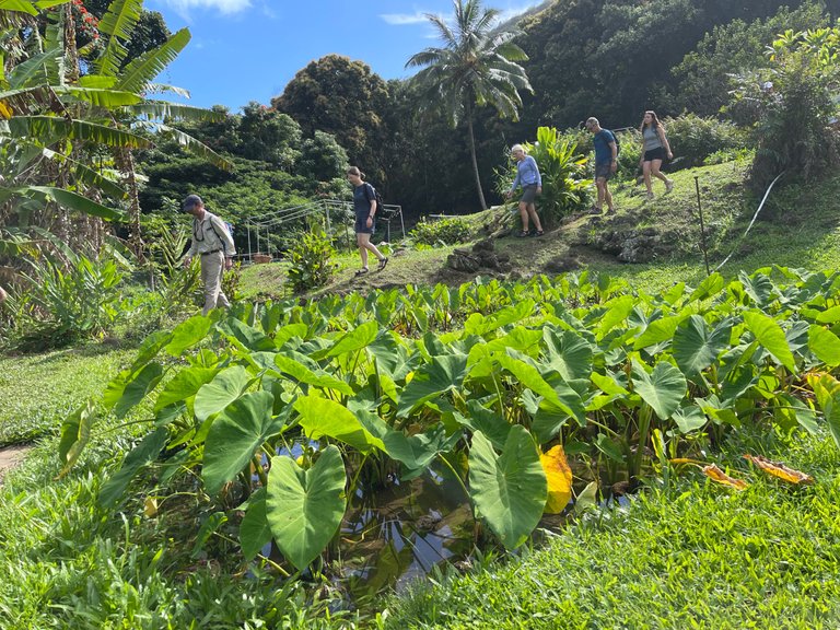
These plants, that look like small elephant ears, are a species of taro. After harvesting the corm, and mashing it with rounded lava rocks, this is what is turned into the staple food of traditional Hawaiians, a purple mush called poi.
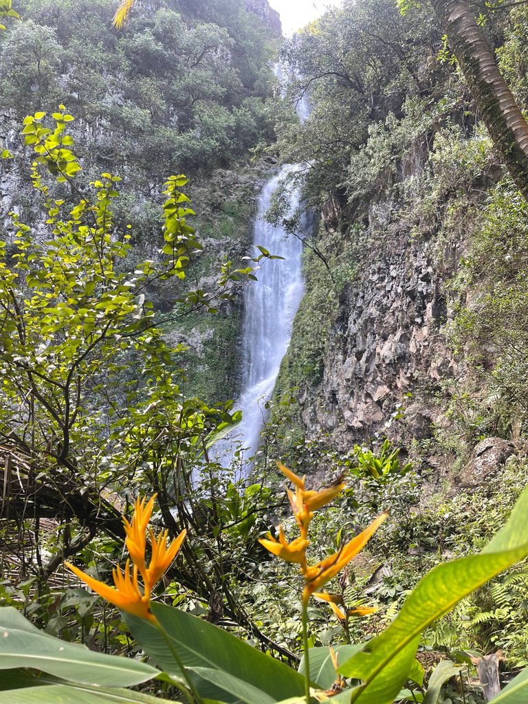
Beautiful heliconia plants in front of Mooula Falls.
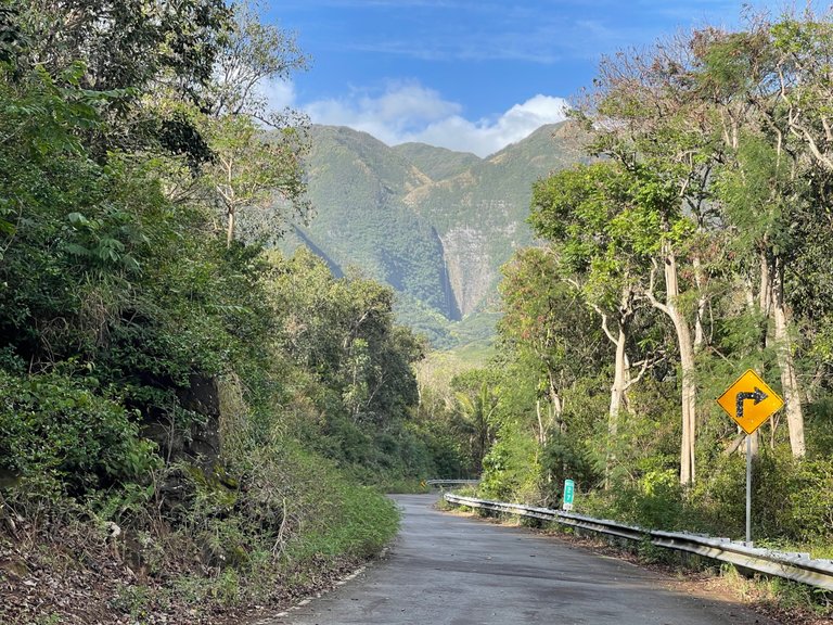
Driving down to Halawa Valley. This turn at mile marker 27 is where the residents of old Halawa ran to when a series of tsunami waves hit the valley in 1946 and went 1.7 miles up the valley, destroying the village and farms.

A quick stop at on overlook, looking down at Halawa Valley from above.
As always, keep traveling and keep posting!
-Dai Mar
You can check out this post and your own profile on the map. Be part of the Worldmappin Community and join our Discord Channel to get in touch with other travelers, ask questions or just be updated on our latest features.
Quite amazing, this place looks beautiful and you guys look cute together.