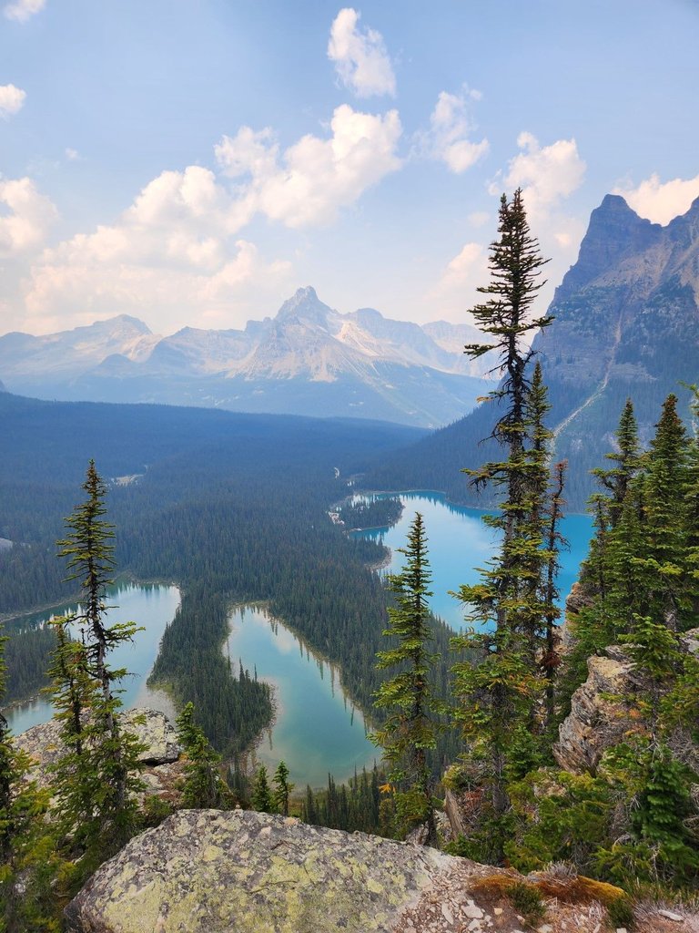
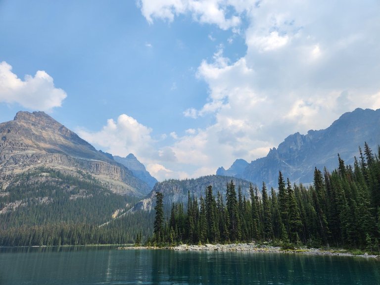
High up in the Rocky Mountains during the peak of the Canadian Summer we have the opportunity to enjoy nature to its fullest. The scenery up here is simply breathtaking. We are looking at Mary Lake and Lake O'Hara with the Wiwaxy peaks and the Cathedral formation in the background.
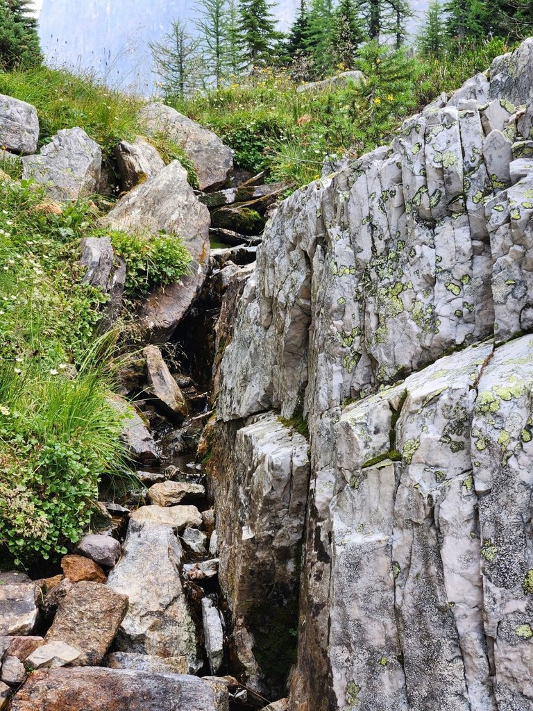
This is the Opabin Plateau a hanging alpine valley up in Yoho National Park, British Columbia. Water cascades 200 meters from the plateau down to Lake O'Hara, through the Columbia river and eventually into the North West Pacific Ocean.
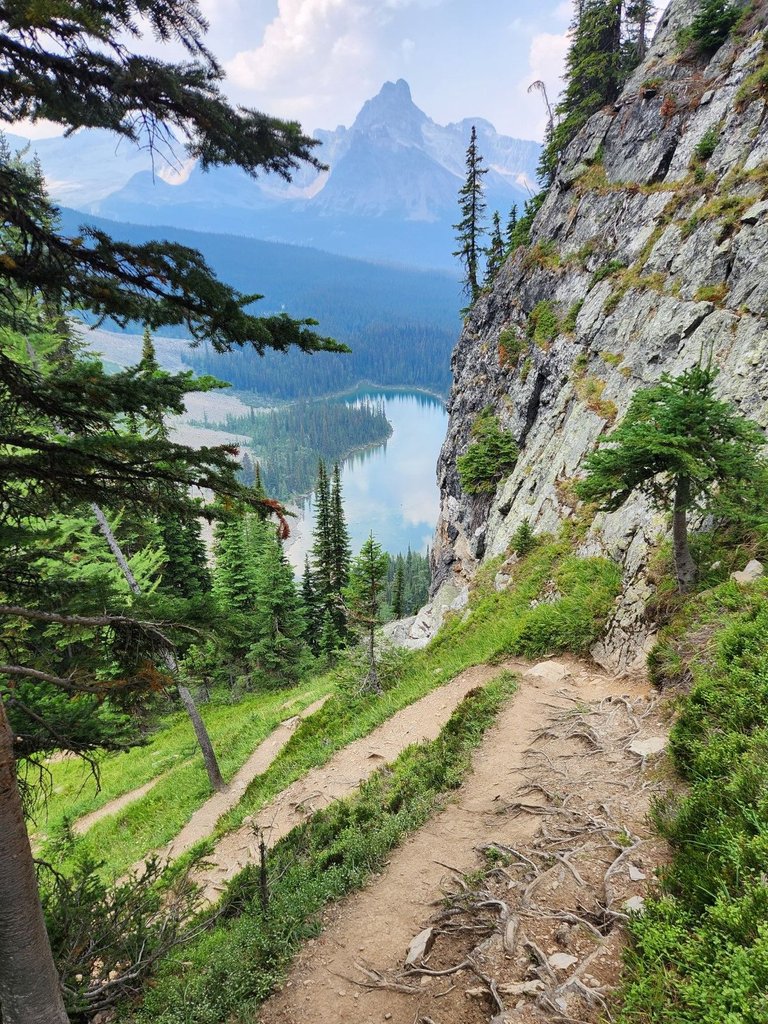
It's difficult to take one's eyes off such an unbelievable sight, but watch your step! The trail is steep descending 150m in less than half a kilometer. One has to take a ladder of switchbacks to get safely down the mountain.
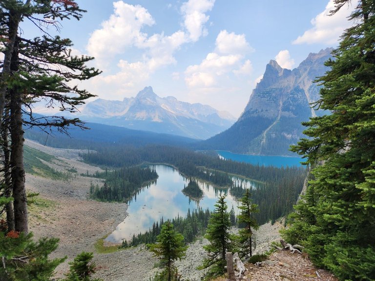
These are glacial lakes, fed by snow and ice melting up on the nearby peaks. Mary Lake is like a mirror, reflecting the sky, while Lake O'Hara is a shade of blue only found in alpine lakes due to the mineral content of the surrounding mountains.
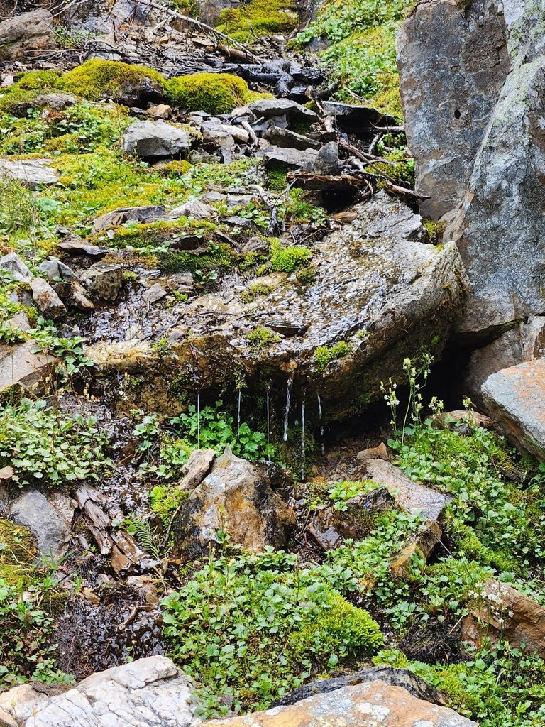
Water is all around us, we are now at about 2100 meters above sea level or half way down. We got lucky with the weather, it wasn't going to rain until later in the evening.
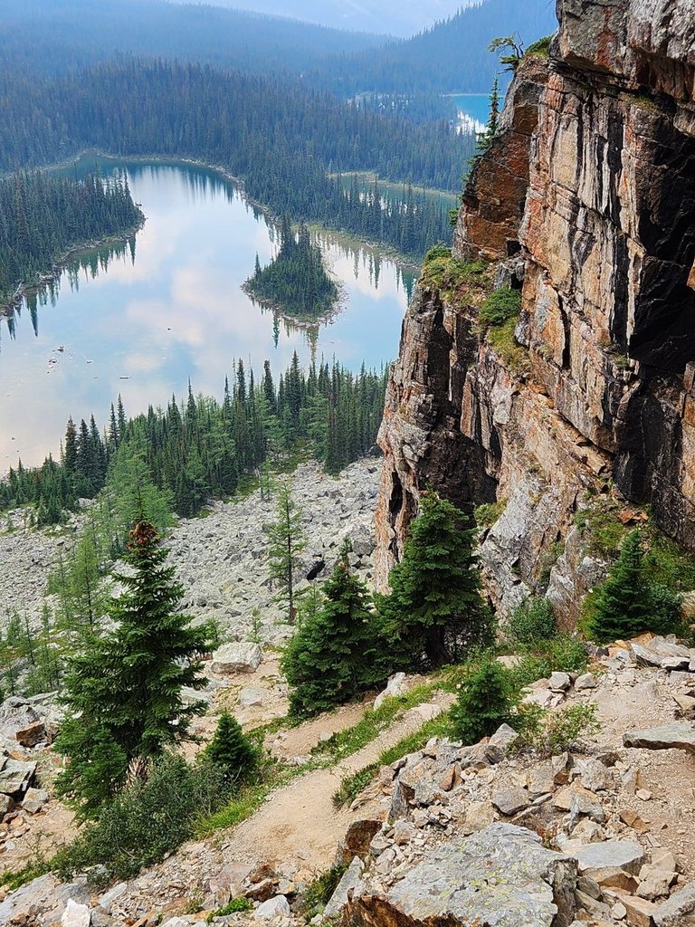
One doesn't want to rush down such a steep path, even with good shoes. Loose rocks are everywhere as they have fallen off the mountain over the years. That's okay as we didn't mind taking plenty of photo breaks.
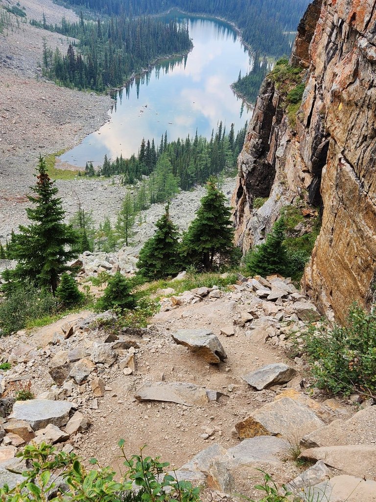
The shallow Mary Lake is at the bottom of our descent. It acts as a filter keeping the waters of Lake O'Hara pure. You don't want to swim in these frigid waters but they do look inviting after nearly completing a nine kilometer portion of the Alpine Loop Hike.
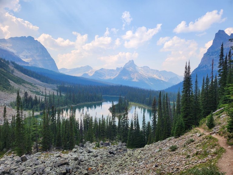
Most of our hike has been near the edge of the treeline so it was a welcoming feeling to be back in the forest. This hike is not for someone who is afraid of heights.
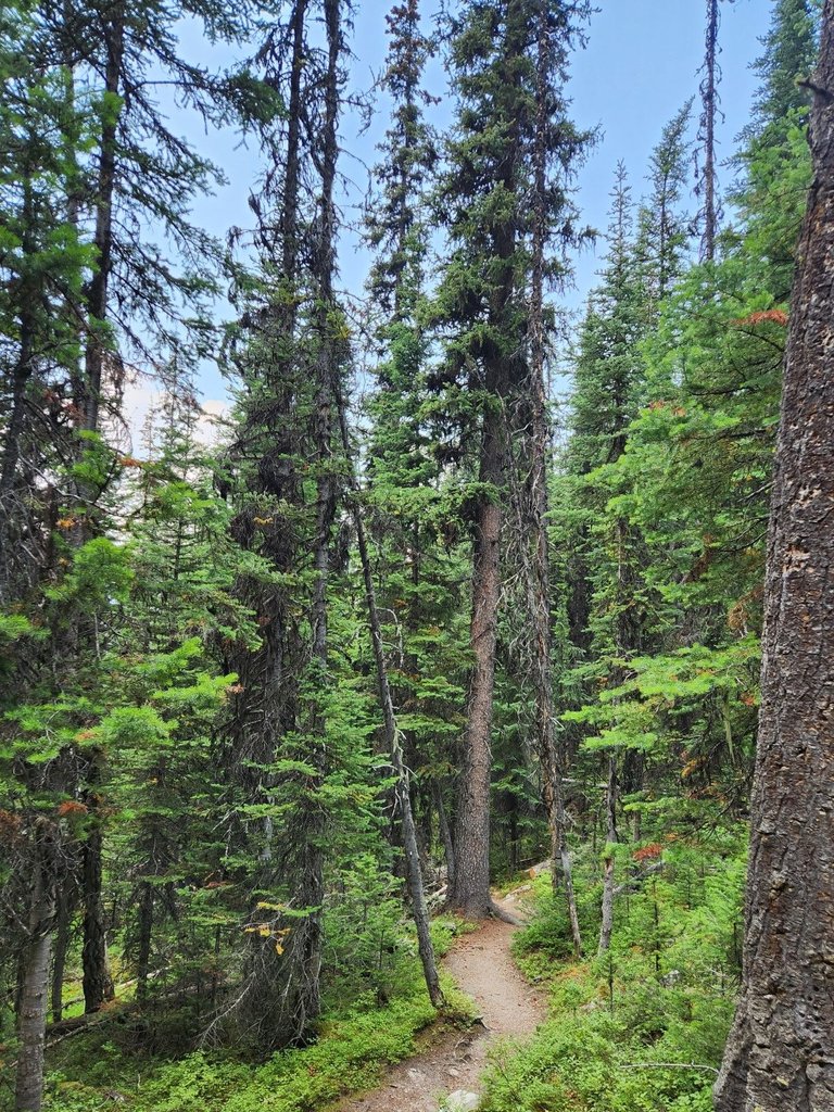
The rest of the walk is like any other amongst the trees, it is flat and easy. We went around the edge of Mary Lake through the Lake O'Hara valley taking in the wonderful forest smells.
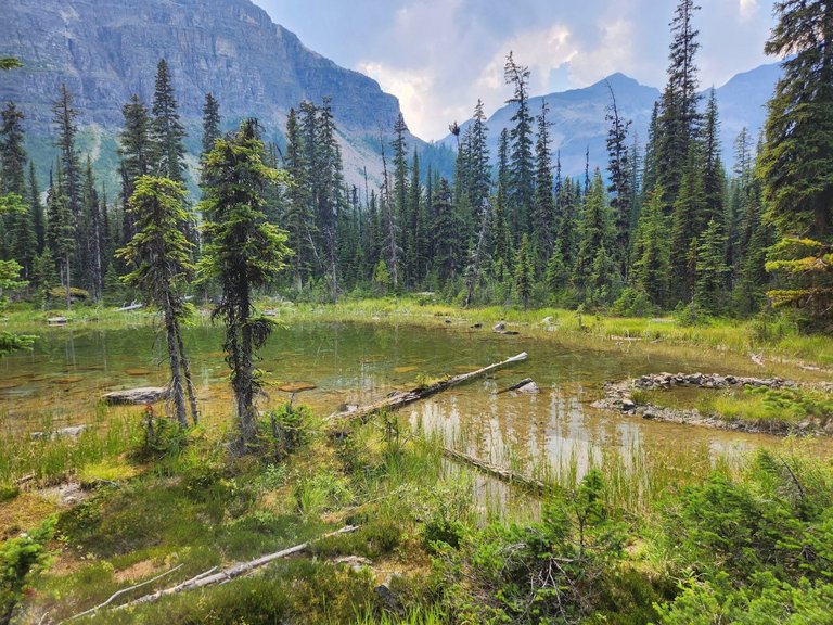
The amount of green down here is amazing. These forests only get a few months each year to thrive as they are covered in snow from most of September to June.
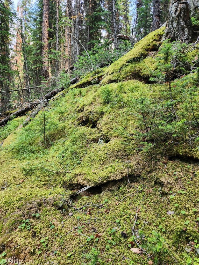
During the Summer, moss covers the forest floor, this region receives a lot of rain as the clouds lighten their load to get over the high peaks of the Rockies between British Columbia and Alberta.
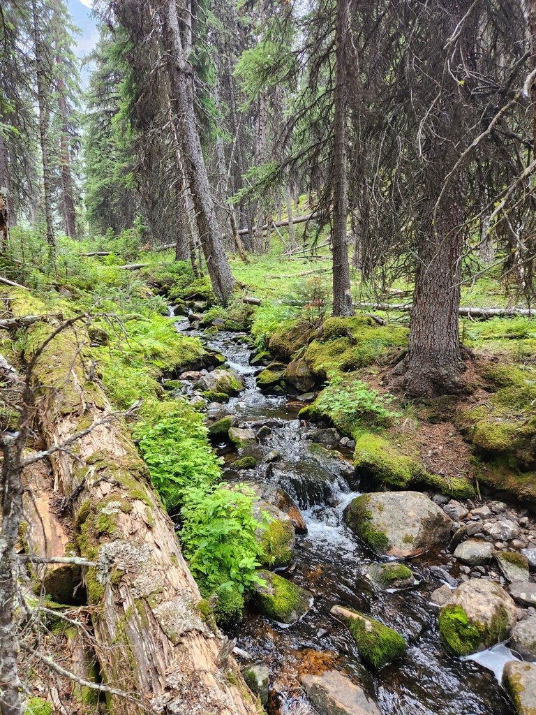
Here is the stream connecting Mary Lake and Lake O'Hara. One could explore the forest floor for hours. This biome offers such a sharp contrast to the Opabin Plateau high above.
Lake O'Hara is at the start and finish of every trail in this Hiker's Paradise. We had our best outdoors day ever and hope to return again soon. Thank you for reading.

All photos were taken with an S22 and are unfiltered
Travel Digest #2179.
Become part of our travel community:
- Join our Discord
Hiya, @choogirl here, just swinging by to let you know that this post made it into our Honorable Mentions in Your post has been manually curated by the @pinmapple team. If you like what we're doing, please drop by to check out all the rest of today's great posts and consider supporting other authors like yourself and us so we can keep the project going!Thanks @choogirl
Thanks for your contribution to the STEMsocial community. Feel free to join us on discord to get to know the rest of us!
Please consider delegating to the @stemsocial account (85% of the curation rewards are returned).
You may also include @stemsocial as a beneficiary of the rewards of this post to get a stronger support.
Thank you ,not sure this has anything to do with STEM though
Conectar con la naturaleza es la mejor terapia de respiración. Me encanta
Gracias
✨️
Cat's driving me crazy ...😵💫
!LUV
😻
It seems like there's no end to the stunning landscape in Canada, I feel so jealous we don't get a fraction of that across the pond
Most of these posts have been from a small area of Canada less than the size of greater London and Canada is a big place. Alberta alone is 5 times bigger than England and it's just a medium sized province.
Congratulations, your post has been added to Pinmapple! 🎉🥳🍍
Did you know you have your own profile map?
And every post has their own map too!
Want to have your post on the map too?