Its been said that when you reach a certain age you must leave the coop. Well when you're a teenager, either by choice or by force you'll have to go off to some places by your own and explore.
Going for parties, events, dates and all the other outings are rare fun that must and should be encouraged in all teenage lifestyles.
I'm not actively a party person and despite having quite an outgoing personality I tire of people easily.
Still, I do try to keep up my social life with sparse trips for some events and in all my adventures and outings, one of the biggest problems I've had is location.
By location I don't mean I've had a problem with the building, field, complex in itself but a problem with how to get there.
Now there are numerous ways to go about this, you could always use the Bolt app and worry not about which turn to take and where you should drop off from the bus but in my country, petrol prices are insane and the bolt prices are even farther up in the insanity scale.
Due to those constrictions, I've been forced and adviced to be using regular transportational means where the original price can be further haggled.

There are numerous problems with this public transportation system but what I feared the most was that I'd miss my stop on a bus and get missing.
I remember one time when I was coming back from a convention late at night and I had to enter the transport bus.
This was a neighborhood I haven't come to before and we were going through a route I wasn't so sure of.
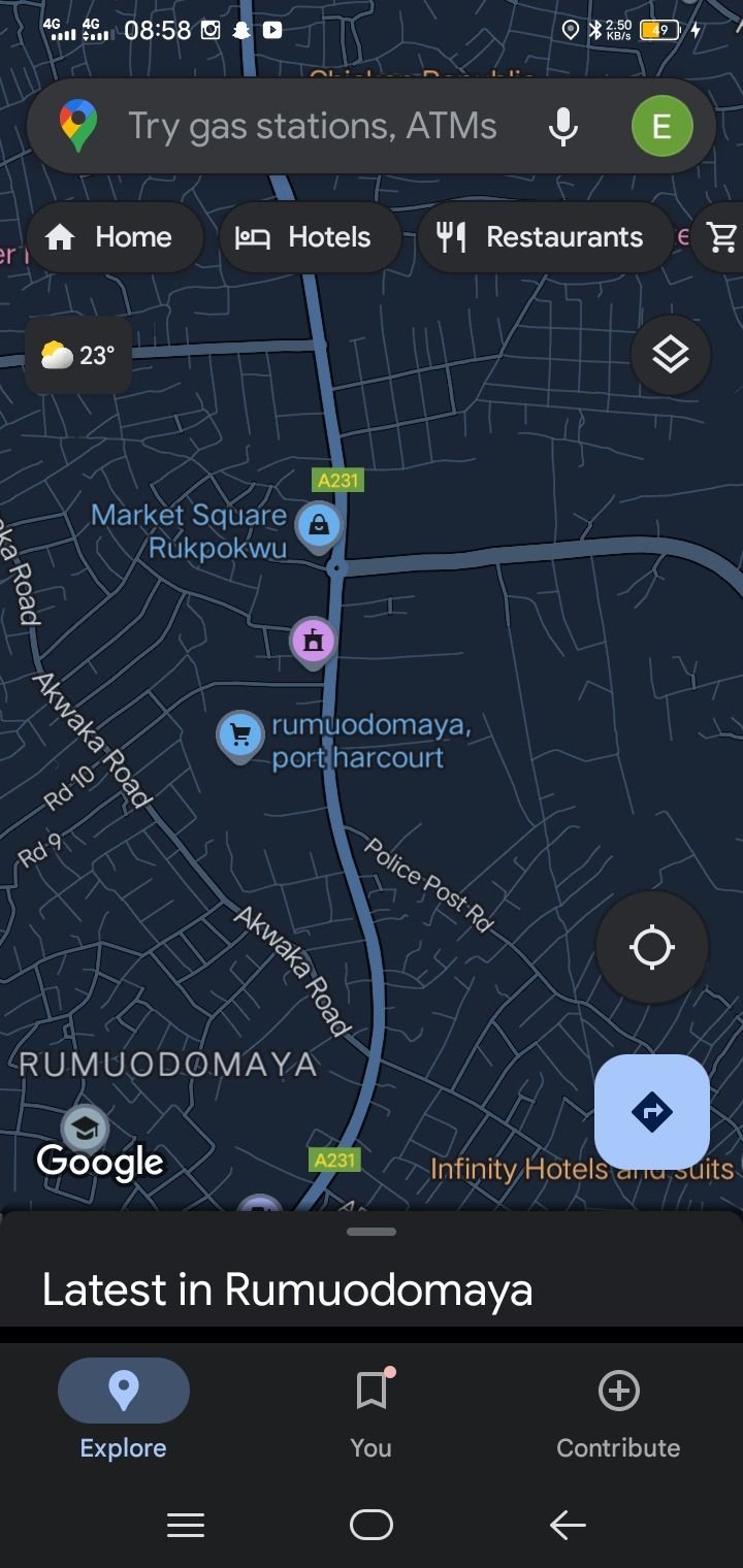
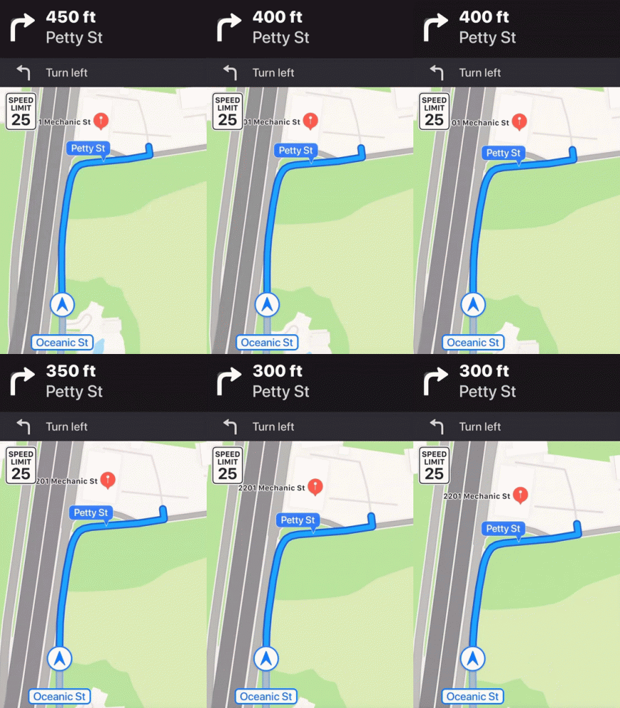
Thankfully, my best friend and personal outing savior, Google Maps, which showed me that I was meant to drop at just that moment.
If I hadn't checked my app, I would've missed my drop and probably gone missing that day as well.
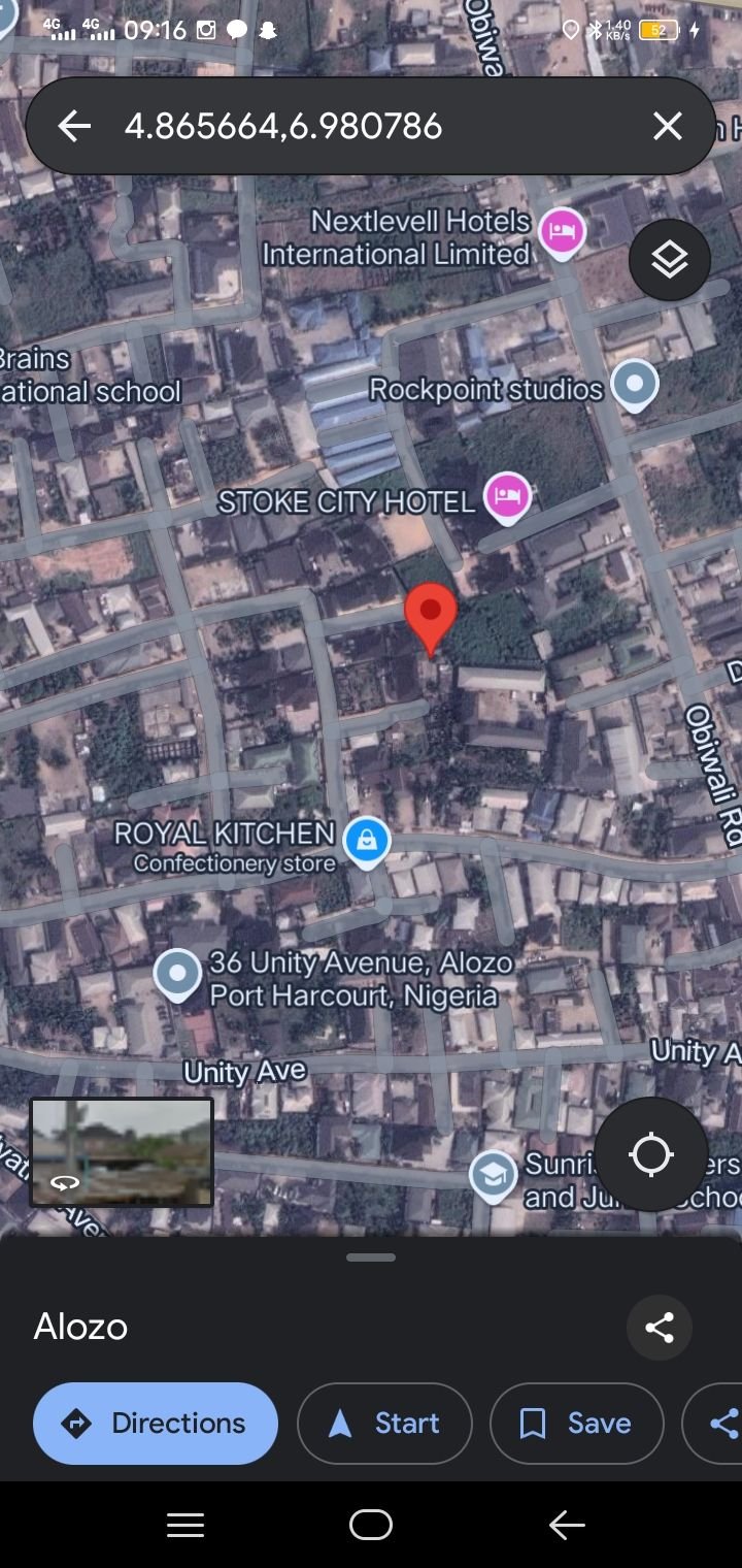
Since that incident, when I'm going somewhere I don't know my phone's already been charged and the google maps page is already loaded.
Sometimes I check the address of the location on the map, this helps me have a general overview of how the routes are, it also helps me plan or plot just how mich the transport fare would or could be.
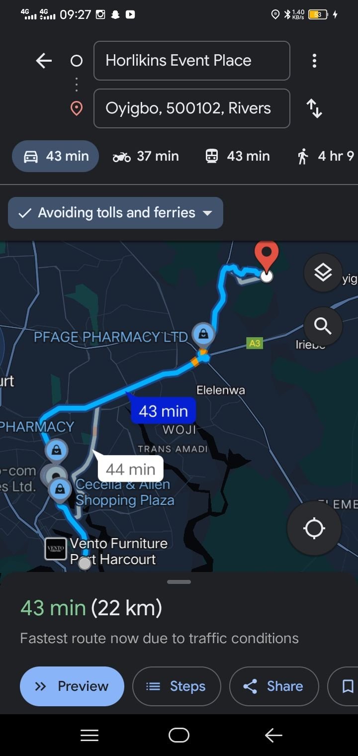
Its no overstatement to say that right now, Google Maps is one of my most important apps.
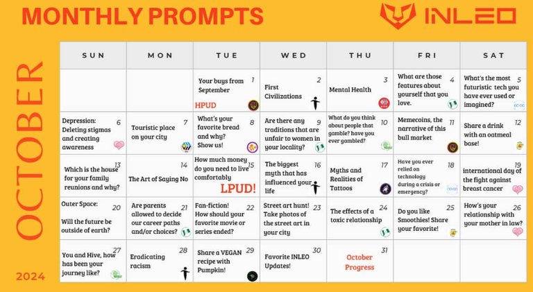
This is my response to Day 18 of the #inleo #octoberinleo challenge given by @leogrowth

All images used are screenshots of the app and from my phone. Gifs were gotten from Tenor

My Instagram page.
Posted Using InLeo Alpha
Bike? Or is that out of the question?
Bike is approximately 6 times more expensive than regular transport... And 6 times more unsafe😂😂😂
I don't know why the bikers drive as though they and their passengers can simply respawn at the last checkpoint 😂😂😂
Unrelated but I shared your secret at pypt
Did you dirty as promised
I saw the tag, couldn't join due to personal reasons though.....
But I do wonder... Which secret was it?😂
@shadowspub ?😂
I also love checking out the routes before going anywhere. It helps having to know what I would be dealing with and prepare how to move around 🤣. I mean, better be prepared than getting lost.
Indeed...
Most people might think how dangerous a place is. I'm just wondering how dangerous it would be if I get lost trying to even get to the dangerous place😂😂
I'm not even trying at all. At this point, it's safe to call me a vampire😂.
As for Google maps, I'll be needing it again from next week when I'll be venturing into that dungeon in which a school was built😂
Nobody's gonna call you a vampire...
Maybe a hobbit... Or a mole😂😂
Google maps to the rescue indeed. That’s smart actually, using the maps to estimate the transportation fee. Does it always fall in your estimation though?
Due to T-Pain's influence, the price of fuel, transport and pretty much everything else is ever moving...
But yeah, it does fall into my expectations 70% of the time..
@seki1, I paid out 0.082 HIVE and 0.014 HBD to reward 1 comments in this discussion thread.