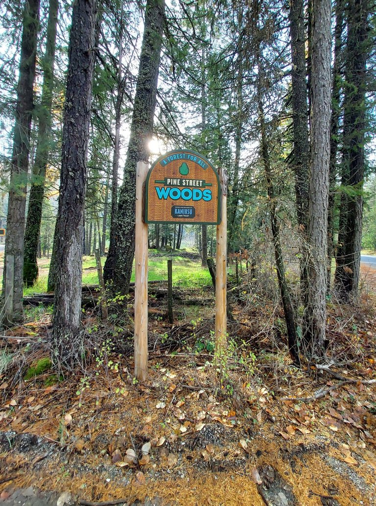
This past June, on our anniversary, my husband and I explored a little of the Pine Street Woods hiking area just outside of Sandpoint, Idaho. Today I decided to take another look at it, and try out one of the trails through the woods. Since I am taking a break from my crazy life, I was by myself this time and could therefore hike places where my less-agile husband could not have gone.
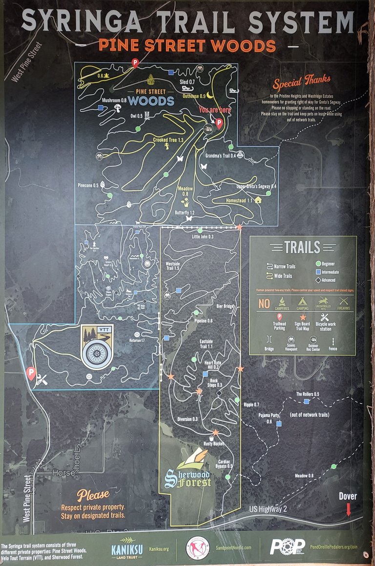
I took my time studying the posted map. For some reason, it took me a long time to find the "you are here" arrow. It had to do with there being three parking areas, and I wasn't sure at first which one on the map I had used.
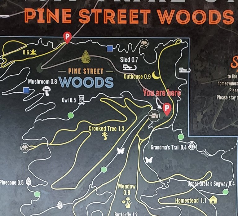
I only wanted to take a short hike, maybe a mile or so, and my touchy knees thought a beginner level trail sounded great. I settled on the Crooked Tree trail. Here is a zoomed-in view of that area on the map.
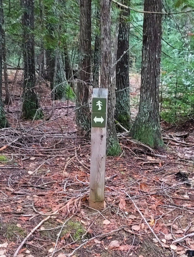
As you can see, the trails have names, like mushroom, owl, crooked tree, pinecone, etc. And there were signs along the way, but not at every intersection, and not always clear. The next photo shows a sign right next to the trailhead parking. So which trail really was Crooked Tree? The post makes it look as if the trail on the right was the one I wanted, yet the signs below it and on the tree straight ahead were contradictory.
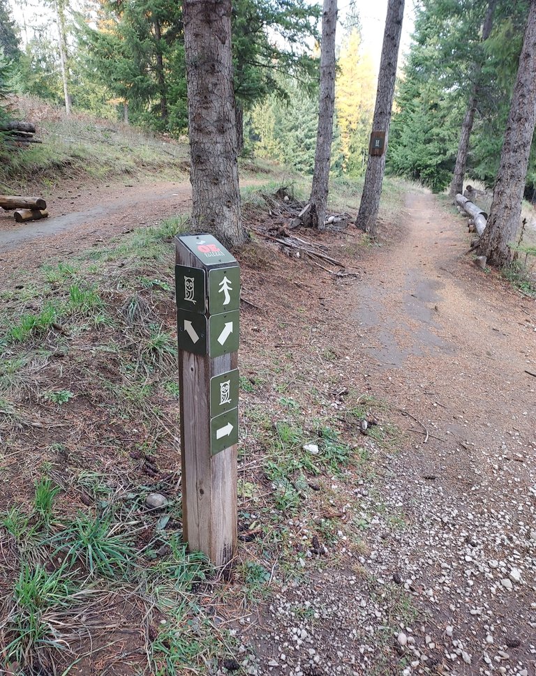
A woman was just returning from a walk with her dog, so I asked her about it. She said she, too, found the signs confusing, and often ended up on a different trail than she had intended to use. But she also said it's hard to get lost. I chose the trail on the right, which remained close to the one on the left for a very short distance, and then another sign let me know I had chosen wrongly. Looking at the trail map, it makes sense now. But I didn't have a paper copy of the map with me, and my memory is apparently quite short when it comes to maps and trails. I stepped over some underbrush and got on the correct trail.
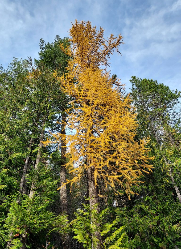
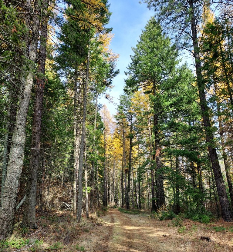
That lead me to a wide path under the power lines. I love the bright yellow of the Western larch trees this time of year. It is a deciduous conifer, meaning the needles turn yellow and fall off in the autumn. Most conifers remain green year 'round and their needles don't fall off.
Despite having been extremely busy all summer and fall, I rarely went for a walk and never rode my bicycle at all. Consequently, I have gotten rather out of shape. I was about halfway through the loop trail and feeling a bit winded when I caught a welcome glimpse of a bench up ahead, and what must surely be the scenic viewpoint shown on the map.
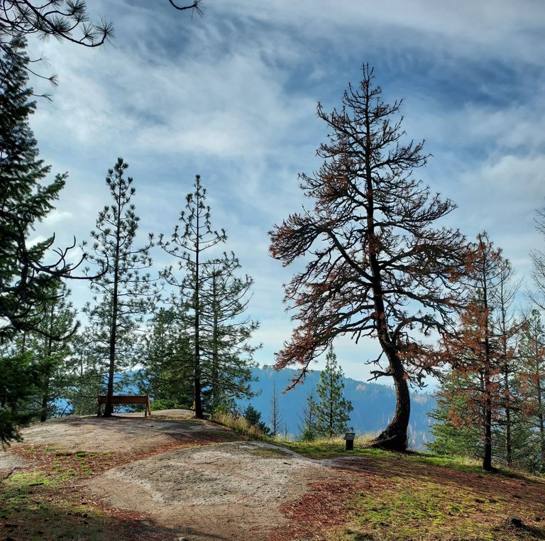
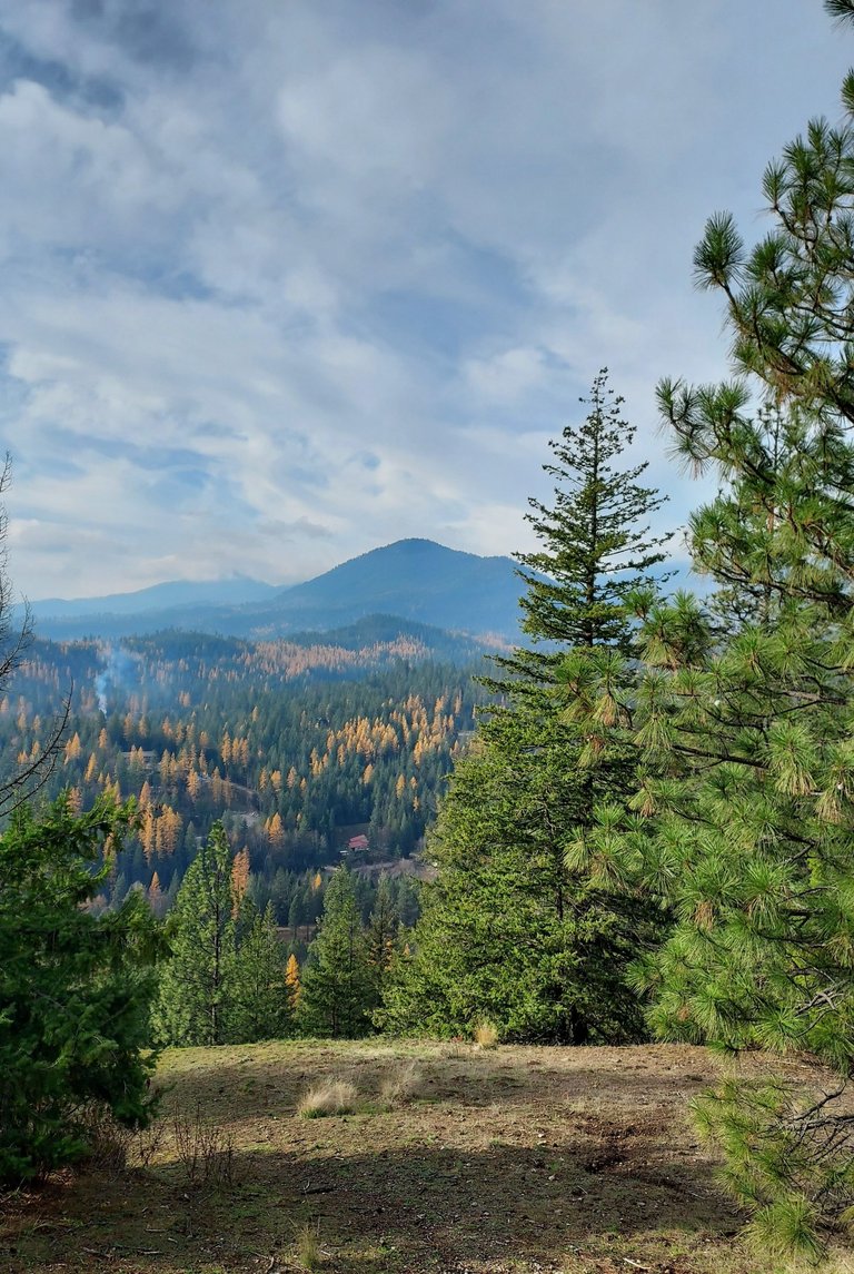
After taking advantage of that well-placed bench, I headed down the other side of the small loop that lead to the viewpoint. This convenience was a short way down the trail. I didn't need it, but it was nice to know it was there.
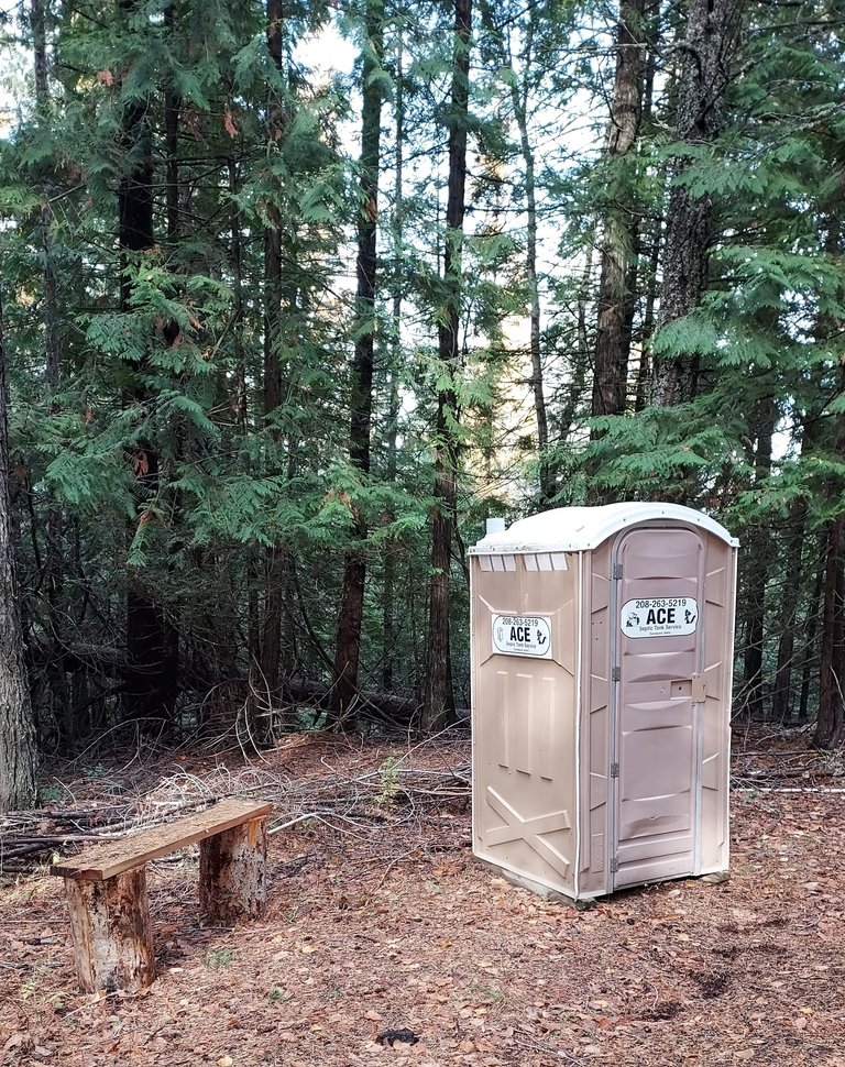
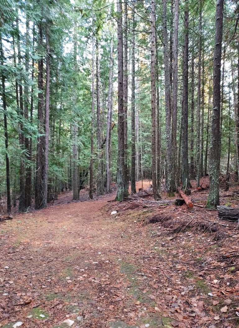
I only encountered two other hikers during the scant hour I was on the trail. I saw at least three mountain bikers through the trees, and sometimes heard voices from distant paths, but mostly it was a very quiet, solitary stroll.
Eventually I came upon the same post I had seen early in the hike, and I approached it from the right this time, which means I succeeded in making the loop I had intended to make. Yay!

As I drove back to my rental place, I stopped to take a picture of this lovely little spot. I don't know the name of the body of water, or even if it has one, but it sure is pretty.
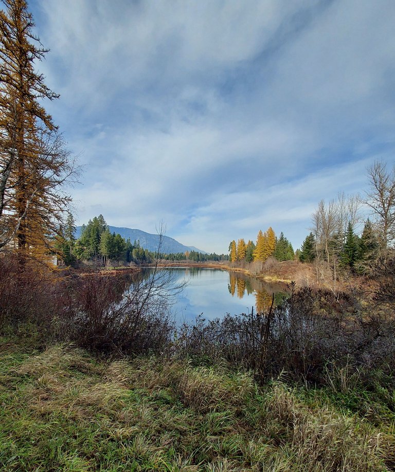
And that was today's adventure! I also napped, finished my book, and watched some Netflix. Soon it will be bedtime. Tomorrow is another day, and hopefully I will have more fun tales to share.
Exploring nature can be a refreshing experience and also a great one at that. I makes one feel so relaxed and comfortable. By the way, What did you discover along the wide path under the power lines?
That's where I saw some of the larch trees with the sun shining so brightly on them. That path eventually turned aside into the trees.
Wao!! That's nice 👍👍
What a place!
I am glad to see you are taking time to relax. I loved seeing Grandma's trail and the loo, how cool was that!
💐 🎁 Gift 🎁 💐
Empowering Silver Bloggers
Upvote This Comment
Please 🙇♂️ Support Me Back 🙏 - Vote for me
I didn't know there were potty facilities set up out there in the woods!
The rewards earned on this comment will go directly to the people ( silverlions.leo ) sharing the post on LeoThreads,LikeTu,dBuzz.https://inleo.io/threads/silverlions.leo/re-silverlions-leo-2gcy9vc8w
Shared on X
First of all, beautiful pictures, I would sit by the little pond all day.
I would have taken the trail called Grandma's Trail, lol.
When going on these hikes it would be a good idea to take a picture of the trail map so you can look at it on your phone, also take one when the trail forks this way you can see which one to take on your way back.
I had not scrolled up and could not figure out what a convenience was. We call them porta-potties, port-a-lets, or porta-johns, I have never heard them called convenience.
It must be one of those family quirks of speech. Nobody else calls them that, as far as I know.
You are just special. :)