English Version - Click here!
Greetings to all my dear readers. The end of the year is approaching, and I was going through my photo archive and found some scattered photos of a special place in our geography, and I have decided to share it with you. I visited it precisely around this time, with cloudy days and a lot of wind.
Without further ado, I present to you Nibujón Beach, located halfway between Moa and Baracoa.
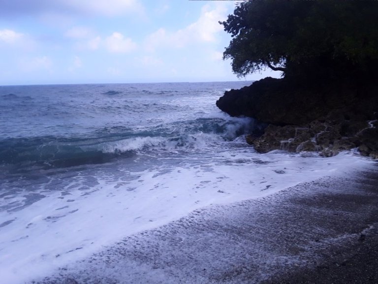
[Tomada desde mi móvil Redmi 9A/.Taken from my Redmi 9A cell phone.(Una panorámica de la Playa Nibujón/A panoramic view of Nibujón Beach]
[//]:# (!pinmapple 20.51039 lat -74.64646 long Playa Boca del Nibujón d3scr)
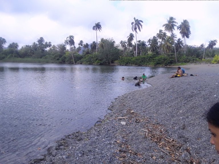
Usualmente, la utilizamos como punto de interés geológico, para que nuestros estudiantes aprecien las playas erosivas y la acción geológica del mar. También es interesante porque en la playa sucede un fenómeno curioso. En el punto de contacto entre el Río Nibujón y la Playa se forma un banco de arena llamado tibaracón (no tengo una traducción para este término en inglés). Un tibaracón se forma debido a que en el contacto entre los dos cuerpos de agua, el río pierde su fuerza y deposita la carga en sedimentos y rocas, creando un banco de arena. Cuanto mas grande sea el río, y mayor su caudal, mayor será el tibaracón. Es necesario algo más, y es que la costa sea poco profunda, de lo contrario no se formará tibaracón alguno.
English Version - Click here!
As I said before, Nibujón is accessed via the Moa-Baracoa highway, which, by the way, has been very bad for some years to travel by light car. The beach is of the erosive type and does not have a coral barrier in front, like other beaches in the area, which makes it a beach with strong waves and dangerous currents. Not recommended for bathing with minors or people who generally do not know how to swim.
We usually use it as a point of geological interest, so that our students can appreciate the erosive beaches and the geological action of the sea. It is also interesting because a curious phenomenon happens on the beach. At the point of contact between the Nibujón River and the Beach, a sandbank called tibaracón is formed (I do not have a translation for this term in English). A tibaracón is formed because at the contact between the two bodies of water, the river loses its strength and deposits the load in sediments and rocks, creating a sandbank. The larger the river, and the greater its flow, the greater the tibaracón. Something else is necessary, and that is that the coast be shallow, otherwise no tibaracón will form.
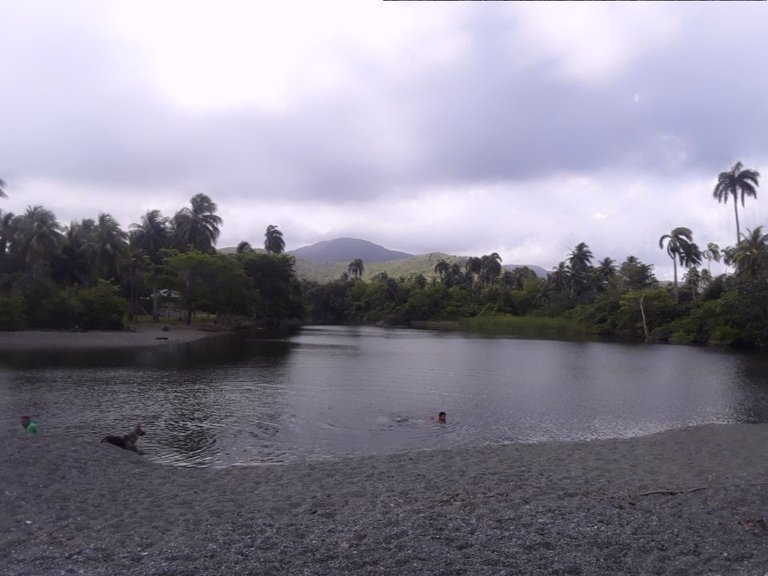
[Tomada desde mi móvil Redmi 9A/.Taken from my Redmi 9A cell phone.(Aquí es visible el tramo final del Río Nibujón, y parece que el río se termina en el banco de arena. Lo cierto es que por debajo de la arena el río sigue su curso hasta el mar/Here the final stretch of the Nibujón River is visible, and it seems that the river ends at the sandbank. The truth is that beneath the sand the river continues its course to the sea]
English Version - Click here!
Under water, because the sand is permeable, there is communication between the fresh water of the river and the salt water of the sea. At low tide, the river water is mostly fresh, and at high tide, the river water becomes brackish. This allows bathers to bathe in fresh and salt water on the same beach.
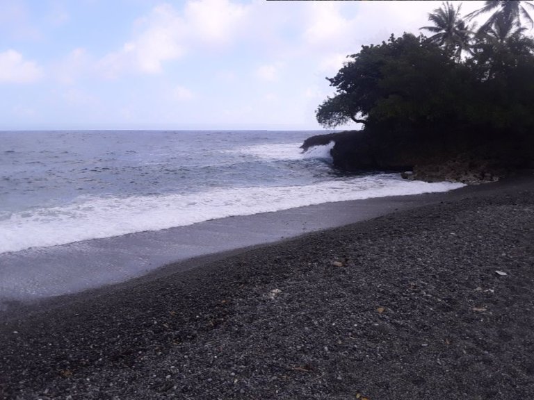
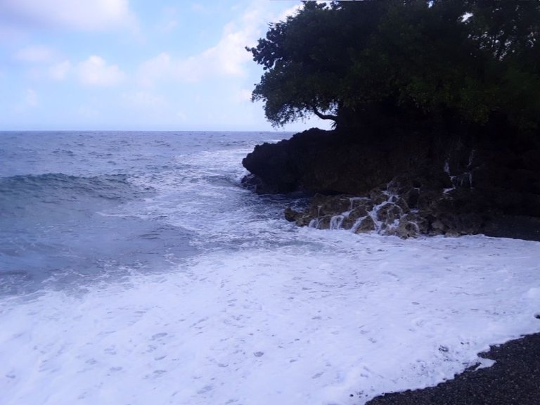
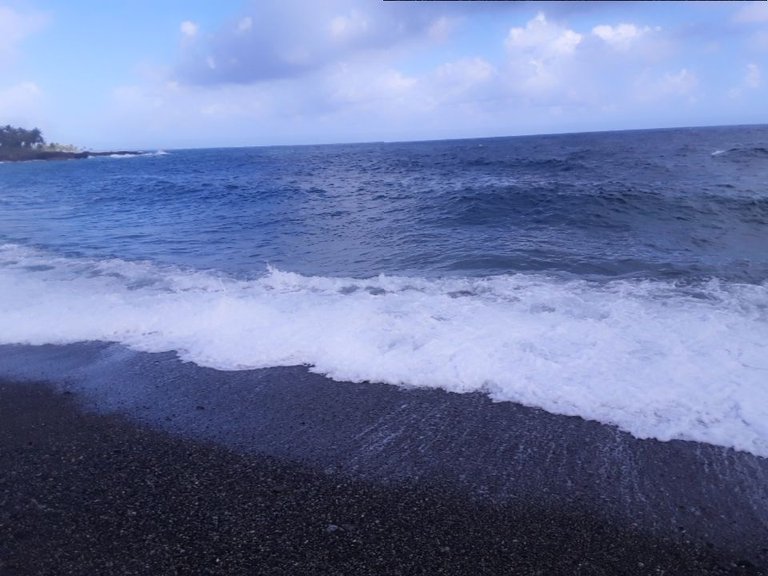
[Tomada desde mi móvil Redmi 9A/.Taken from my Redmi 9A cell phone.(Detalle de las arenas negras de la playa y el fuerte oleaje/Detail of the black sands of the beach and the strong waves]
Sin lugar a dudas, esta playa constituye un bonito paisaje de la geografía del oriente cubano. En verano sus aguas son más acogedoras para los bañistas y es posible disfrutar de variadas ofertas gastronómicas.
Si has llegado hasta aqui, solo me resta agradecerte por leerme, espero que te haya gustado tanto como a mi, y te invito a encontrarnos otra vez, en otro apasionante sitio de interés geológico. Hasta entonces, te deseo todo lo bueno del mundo.
English Version - Click here!
The sands of this beach are dark in color. This is because the Nibujón River rises in the mountains of the Moa-Baracoa massif, where the rocks that predominate are rich in iron and magnesium, which gives this special color to the sands it drags. In short, sand is nothing more than the result of the destruction of rocks upstream, which are carried by the current. The longer the river, the more rounded and finished the resulting sand is.
Without a doubt, this beach constitutes a beautiful landscape of the geography of eastern Cuba. In summer its waters are more welcoming for bathers and it is possible to enjoy varied gastronomic offerings.
If you have come this far, all that remains for me is to thank you for reading, I hope you liked it as much as I did, and I invite you to meet again, in another exciting site of geological interest. Until then, I wish you all the good things in the world.

Congratulations @lapgarcia! You have completed the following achievement on the Hive blockchain And have been rewarded with New badge(s)
Your next target is to reach 3250 upvotes.
You can view your badges on your board and compare yourself to others in the Ranking
If you no longer want to receive notifications, reply to this comment with the word
STOPCheck out our last posts:
Congratulations, your post has been added to Pinmapple! 🎉🥳🍍
Did you know you have your own profile map?
And every post has their own map too!
Want to have your post on the map too?
Esta muy bonita la playa, no la conocía a pesar de haber visitado baracoa en varias ocasiones. La foto soy miy buenas. Un saludo 👋
Gracias por el comentario. Esa costa tiene playas muy bonitas como son Nibujón, Maguana, Mapurisí y otras. Las conocí a lo largo de la carrera. No sabía que esta zona del país tenía tantas playas.
Hola amigo excelentea fotos, eh vistado esa playita y esta muy buena para pasar un rato en familia. Saludos
Muy bonitas imágenes como las anteriores de los posts
Gracias por tus palabras