Greetings friends making reference to the title of my presentation I will establish in this publication information on the main geological formations of my country Venezuela, also explain basic concepts, such as, What is a geological formation? , it is important to understand and know the formations since part of their structural conformation determines information of interest for the science of geology.
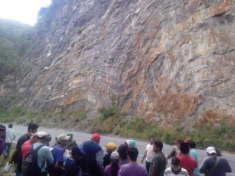
What is a geological formation ?
A geological formation or formation is a formal lithostratigraphic unit that defines rock bodies characterized by common lithological properties (composition and structure) that differentiate them from adjacent ones. It is the main lithostratigraphic division unit. They can be associated in larger units (groups), subdivided (members) or differentiate smaller significant units (layers). The geological discipline that deals with lithostratigraphic units is Stratigraphy.
The 3 main Venezuelan geological formations
1- Guyanese shield

The Guyanese shield is one of the oldest geological zones of the planet and occupies Venezuelan, Colombian and Brazilian territory; it is estimated that it has 3,500 years of existence.
The transposition of two tectonic layers -the South American and the Caribbean- raised the territory that was under the sea and created a group of mountain ranges and mountainous areas, that integrate the region of Guayana in Venezuela.
In this site are the oldest rocks in Venezuela and is known as "Basal Complex". It is formed mainly by igneous rocks, among which is granite.
1,500 million years ago a sedimentary cover was deposited in the Guayana region, formed by sandstone for the most part, giving rise to the plateaus known as tepuyes.
The same erosion process led to the creation of a large sand deposit on the banks of the Orinoco River, generating the largest dune area in the country, in the state of Apure.
Currently this area is known as the Santos Luzardo National Park and there dunes or sand dunes coexist with large rivers and savanna vegetation.
Among the main formations of the Guyanese shield are El Callao, located near the Yuruari River and with volcanic formations.
It is also possible to find the formation on the Cicapra stream, formed by stones known as amphibolics, interspersed by volcanic cracks. There are also the formations of Yuruari, Caballape, Cuchivero and Roraima.
2- The Andes Mountain Range
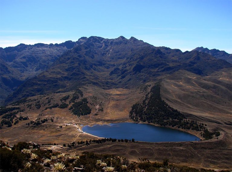
After the Táchira depression, and after the continuation of the Andes mountain range to the northeast, lies the Mérida mountain range, which extends to the depression of Barquisimeto and Carora.
The western chain of the mountain system is constituted by the mountain range of Perijá, that rises to 3,750 meters, and the oriental chain that forms the mountain range of Mérida and that culminates in Pico Bolívar, to 4,978 meters.
The two mountain ranges enclose the depression of Lake Maracaibo, with 13,280 km².
Among the most outstanding formations are those of Bella Vista; Caparo, with some fossiliferous slates; and the Mucuchachí formation, consisting mainly of slates of gray to brown, sometimes carbonaceous, silty and containing fossils and pyrites.
The Sabaneta formation also stands out, consisting mainly of yellow, gray, violet-red and brown sandstones. There is also the Palmarito formation, south of the state of Merida, and the La Quinta formation.
3- The plains
The Venezuelan plains occupy 35% of the national territory and were formed thanks to the sedimentation suffered by a large lake that separated the region of Guayana and the mountain ranges of the Andes and the Coast.
This region also includes the Orinoco river delta plain, whose characteristics are very similar to those of the Llanos region.
Other formations of interest:
Fifth formation
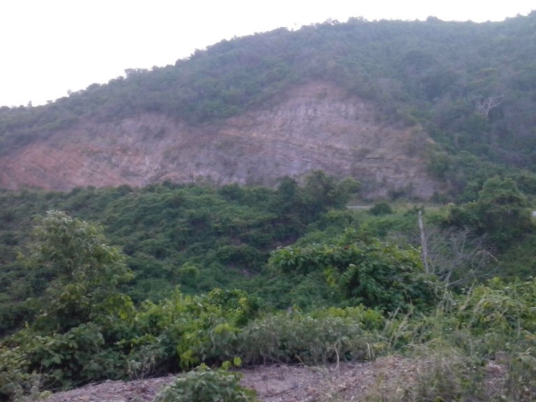
The fifth formation is a fossil site from the lower Jurassic period approximately 224 and 196 million years ago in the past. This reservoir preserves one of the largest fossil diversities in South America, stands out from other geological formations by having fossils buried more than one meter below the ground.
The soils and rock walls of the grotto formation belong to the Jurassic period which are composed of limestones, slabs, sandstones, granites and jasper, it has rock formations steep by the erosion of the wind, the sun and the rain and rocks sedimented by the Its rocks have signs that there was great volcanic activity throughout most of the area.
Isnotu training
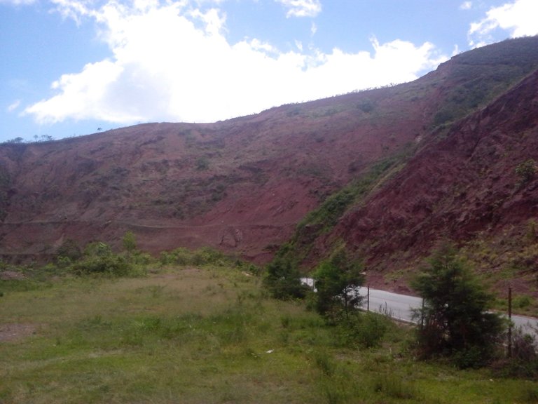
The Isnotú formation of Miocene age, appears on the slopes surrounding Isnotú. It is formed by red clays and conglomerates, formed in an environment of fan of rupture during the beginning of the uplift of the Andes. The Isnotú formation covers the northern region of the Andes and southern Lake Maracaibo where it is transitional with the Lagunillas formation of the same age, while it is located concordant below the Betioque formation of Pliocene age and lies discordantly on the Paují formation (sometimes on Misoa) of Eocene age. Sometimes they are in the megafauna fossils formation of the Venezuelan cenozoic, like Smilodons, Megaterios and Gliptodontes.
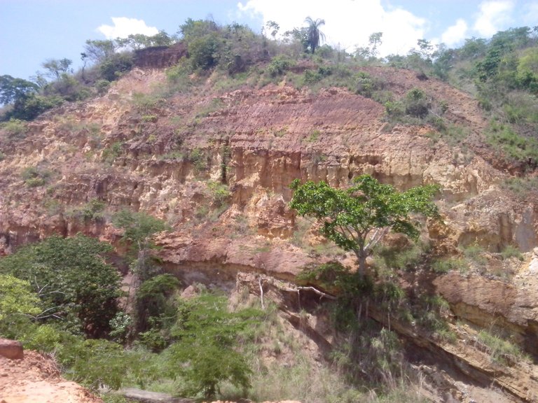
Round Tree Formation
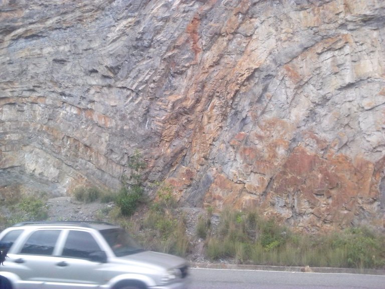
It is located in the Trujillo Block, it is located in the North-East Sector of the Andes of Merida. It forms an individualized crustal structure within the Maracaibo Block bounded by the West by the
Falla de Valera-Río momboy and to the SE by the Boconó fault, the north of this block is covered by allochthonous represented by the Lara layers. The structural configuration is made up of a structural pattern in anticlinorios and siclinorios developed by a ramp system (faut bend folds) as a result of the compressive and / or transpressive reactivation occurred during the Neogene that caused the positive inversion of pre-existing distensive structures of Jurassic-early Cretaceous age.
References
- Gomey David et al. (2007) Chronology of Cenozoic tectonic events in western Venezuela and the Leeward Antilles based on integration of offshore seismic reflection data and on-land geology. The American Association of Petroleum Geologists V. 91. p.p: 653-684.
- Mencher E. et al. (1953) Geology of Venezuela and Its Oil Fields. Bulletin of the American Association Petroleum Geologists. V. 37 No. 4. p.p: 690-777
- McNab J.G. et al. (1952). Evolution of Petroleum. Industrial and Engineering Chemistry. 44 (11), p.p: 2556-2563
Macqueen, R.W., & Leckie, D.A. (1992). Foreland basins and fold belts. United States: Tulsa, OK (United States); American Association of Petroleum Geologists. - Prieto, R., & Valdes, G. (1990). The Furrial oil field, a new giant in an old basin. In AAPG Bulletin (American Association of Petroleum Geologists); (USA) (Vol. 74: 9). United States.
https://es.wikipedia.org/wiki/Formaci%C3%B3n_La_Quinta
https://es.scribd.com/doc/50597194/Formacion-Arbol-Redondo-Trujillo-Venezuela
You received a 10.0% upvote since you are not yet a member of geopolis.
To read more about us and what we do, click here.
https://steemit.com/geopolis/@geopolis/geopolis-the-community-for-global-sciences-update-2-higher-base-votes-new-logo
If you do not want us to upvote and comment on your posts concerning earth and earth sciences, please reply stop to this comment and we will no longer bother you with our love ❤️
thanks for the support that I am constantly offered to be able to belong to your @geopolis community, for me it would be a pleasure to greet you soon, new content.
Everyone posting in the fields of geography, geology, anthropology, ecology and history are able to receive upvotes. If you want to become a member you might want to check the details in the link
wow this is really great! Now I want to travel again... Would love to see it on a map (Geography = life) but great post nevertheless
thank you for your comment, and if you want to support my publication I hope your vote, greetings and I'll follow you to see your content.
@originalworks