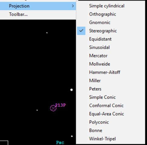
It's an interesting topic for me because it translates directly to celestial cartography. There are lot of times you need to familiar with different projections, here is a screen cap from Guide 9.0 (the Planetarium program I use for astronomy) to show some of the selections that are available.
So thank you for your post @lorneroo !
Sounds like an interesting software! Oh yeah! By the way why are you using the stereographic projection? Engineers often use this projection in particular in Geotechnical Engineering to determine if it is safe to proceed with technical constructions.
That is a very good question! I do mess with those projections from time to time, particularly if I doing wide angle charts, to see which one gives the best outcome.