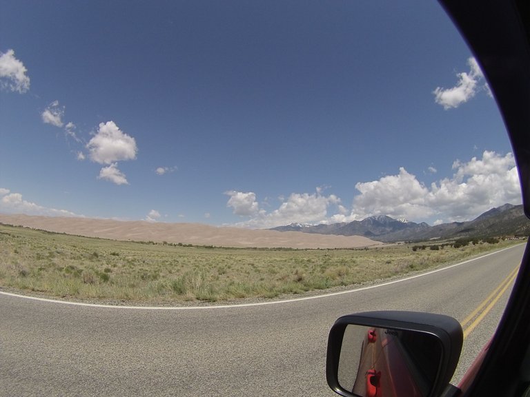
Our adventure continued on from the Buena Vista area south to The Great Sand Dunes National Park. As we drove south the road ran parallel with the Sangre de Cristo Mountains. These mountains are the southern most subrange of the Rocky Mountains, running from south-central Colorado and ending southeast of Santa Fe , New Mexico. These mountains contain a number of peaks that are over 14,000 ft. in the Colorado portion, as well as all the peaks in New Mexico which are over 13,000 ft.! As we got closer to our destination we noticed we were in a huge valley with the Sangre de Cristo Mountains to our east and the San Juan Mountains to our west. This valley is called San Luis Valley. The valley is generally flat and desert like. San Luis Valley is where the headwaters are found for the Rio Grande. The Great Sand Dunes lay just west of the Sangre de Cristo Mountains.
Upon arriving we checked in with a park ranger at the visitor's center to obtain a backcountry permit. It slipped our minds that having a dog in the backcountry might be an issue with the park. Luckily the ranger let us know if we hiked far enough just outside of the park into the National Preserve Keeba would be allowed to camp with us. The park ranger pointed out a route that had us hike a sand road up to Sand Ramp Trail Head and stay right leading up into the mountains just outside of the parks boundary and just inside the national preserve. Here's a picture of us getting ready for the hike. 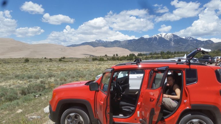
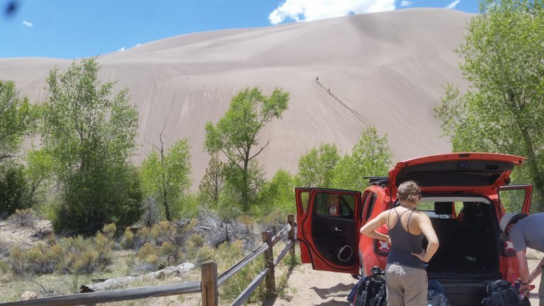
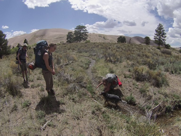
The length of our hike was a little over 3 miles which didn't sound to bad, but none of us had hiked in sand for three miles. This proved to be a bit more challenging. The national park gives warning about bringing your dog out into the dunes due to the surface temperature of the sand potentially being in the 100's. Within the first mile of our hike we could see Keeba was feeling the heat from the sand, stopping in the shade of each bush along the way. The trail a head seemed to have few trees for shade cover. 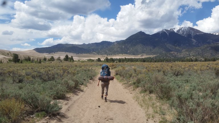
Eventually Brital took Keeba off trail where there was more grass rather than sand to walk on. 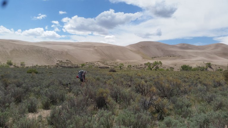
A stream came close to the trail a couple times and Keeba was able to cool off.
We took a break at what felt was the half way point under a big pine tree and ate a snack. The tree had large roots above the ground for us to sit on and lean against.
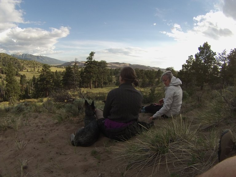
While getting comfortable a little chipmunk ran out from under the tree to observe what was going on. We relaxed and soaked up the comfort of the shade while taking in our new surroundings. The area is so beautiful with giant sand dunes to one side and towering mountains to the other.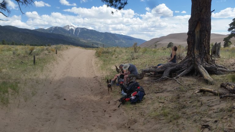
We took a moment to empty our shoes of sand. My boots had seen better days, with big holes on both sides of each boot. The amount of sand that fell from mine was comical to say the least. After we started hiking again we notice a good amount of tree cover ahead. We reach the trees and came to a water crossing. This stream is called Medano Creek. Medano Creek is a seasonal stream with his head waters starting high up in the mountains. Throughout the season water flow is usually highest in the morning and lowest in the evening. May and June are the best months to experience Medano Creek's surge flow. When walking up to the creek it seemed to wide and potentially to fast to wade across. We looked up and down the creek finding a couple spots with fallen trees across the river. We decided to choose the one that looked the sturdiness. Aimee made it across first with no problem. Our next challenge was how to get Keeba across. We figured if Brital (Keeba's mama) went across before Keeba she could call Keeba to the other side. I held Keeba by the collar but as Brital began to cross Keeba starting barking and trying escape my grasp. Right as Brital got across I lost my grip on Keeba's collar. He sprinted and instead of using the tree bridge he jumped into the fast moving current. We all panicked for a moment but just like that he made two hops and was to the other side in Brital's arms! We celebrated after all of us made it across giving us a good energy to continue on. Not long after crossing the stream we came up to Sand Ramp Trail Head. It had a large wood sign and a wooden walk way branching off to the left. We stayed to the right following the trail towards a valley between two mountains. A few hundred yards after the trail head we entered the National Preserve. A couple campsites came into view on our right. We hadn't seen anyone hiking that day but we did see a couple tents set up so we continued ahead to the next set of campsites. We found a site up on a hill that looked nice with a fire pit and a bear safe food container. Just over the hill top was a path into the tree line. We walked to the top to see the path led back downhill to the creek. This was a great relief after thinking we might not have a water source other than going back a mile to the creek crossing. We decided to set our tents up because of darker clouds rolling in. 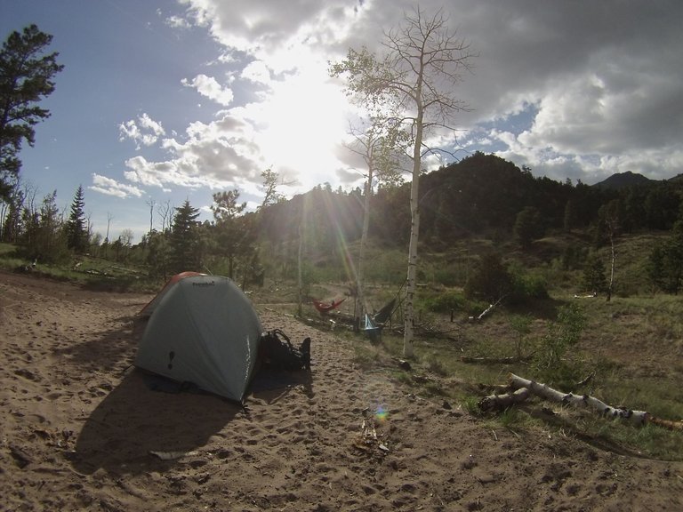
We also collected wood for the fire, which there was plenty of all around. I started up the camp stove and began preparing lunch. After eating we laid in our hammocks and napped for a bit. I kept watching the ominous clouds get closer but never coming directly over us. And since it never started to rain we made the choice to do a hike up the mountain side hoping to view the dunes and see the sun set. As we climbed higher up the side of Mt. Herard, the clouds kept us guessing at the safety of going any further. But finally there was a break in the clouds and blue sky heading our way. We reached a vantage point that lets you see the sun setting over the dunes to the west and the warm glowing snow covered peak of Mt. Zwischan to the east, with a view of the trail we had hiked that day running between the two. 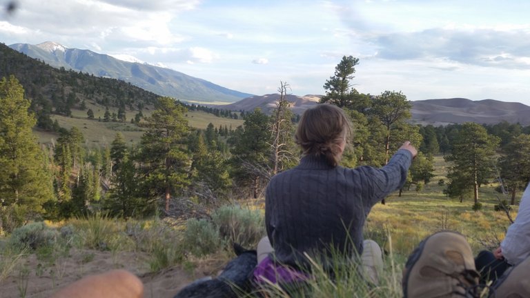
The view was a perfect way to reflect on our day and find gratitude for all that had gotten us there. After the sun set behind the dunes we hiked back to camp and lit our fire. A good dinner after a day of hiking always gets you ready for bed. But before we went to sleep, we all got into one tent and played a game of cards. Comfort is sacrificed for humor when there's four people in a two person tent. The next morning we woke up and started packing camp. Jason and I walked over and down the hill to the stream to filter water. Next to the stream there wasn't much light coming through the trees yet. The sound of the water running and the view of the stream winding through the forest created such a serene morning atmosphere. When we returned we finished packing and began our hike back. With us starting on the trail earlier, the sand hadn't had time to heat up as much making it easier on Keeba's feet, not to mention us. We came to the creek crossing again and this time Keeba used the tree bridge successfully! We continued on with less breaks on our way back.
One thing I forgot to mention, when packing up camp we accidently rolled up the remote for Keeba's collar in one of the tents. Keeba was also off his leash on his way back. On our final long stretch we luckily saw two woman on horses coming down the trail before Keeba did. Brital moved Keeba to the side of the trail and held him while the horses came up to pass. The horses started to get nervous when passing and one even bucked up on its hind legs. Brital held on to Keeba until the horses were out of view. We finished the hike almost an hour faster then hiking in. When we were putting our bags in the jeep and about to leave, a guy came up and started a conversation with us. He told us a story about hiking out to the middle of the dunes with a couple friends and digging a pit in the sand to stay cool. He said it got so hot sometimes they felt like they were hallucinating. He then laughed and said that was almost 20 years ago though! He also told us some cool history about the Black Canyon of Gunnison. He was very nice and it ended up being a fun unexpected conversation. One funny thing, his truck door was open behind him while talking to us and all of sudden Keeba ran and jumped in! After speaking with him we drove back towards the visitor center on a 4x4 road. You have to lower your tire pressure to 20 psi to help keep you from sinking in the soft sand. We got to a parking lot and packed our stuff in Jason's car and had Brital take some of the stuff we didn't need back to Denver. Brital had to go back to work that week so she was unable to continue the trip with us :(( From the dunes we headed to Telluride about a five hour drive. My favorite part of the drive starts just before Montrose in Cimarron where you find Curecanti National Recreation Area, then all the way to Telluride.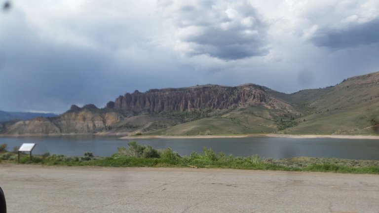
We planned to stay with a friend in Telluride and camp the next night in the Telluride area. We met up with our friend who lived in Mountain Village. 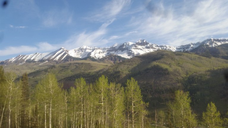
We took the gondola from Mountain Village into downtown Telluride and had dinner at a local brewery. On our way back we walked in the dark down the mountain side back to the apartment. Our friend told us stories of mountain lions attacking people walking alone at night, but assured us we'd be fine since there was 4 of us. The next morning Jason and I took the gondola down and got coffee. 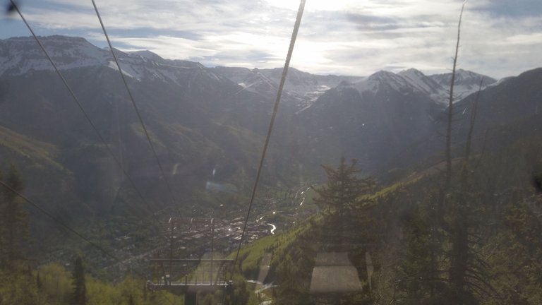
We got our coffee from a really cool book store where they serve the coffee in the back of the store. After coffee we went and met up with Aimee and got the car. That day we planned on hiking Bear Creek Canyon. Before hitting up the trail we drove to the end of downtown where the road begins to switch back up the mountain. You get a beautiful view of Bridal Veil Falls as well as the valley floor. 
We started up the switch backs that lead all the way up to Black Bear Pass, but soon turned back when the terrain became rough and rutted out. We drove down into town to start our hike. The cool thing about Bear Creek Canyon is the trail starts right in the middle of downtown at the end of South Pine Street. 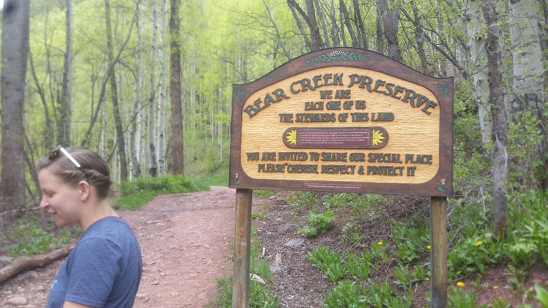
After the sign the trail takes you towards Bear Creek Canyon. You begin to climb up in elevation through aspens and mixed conifers. 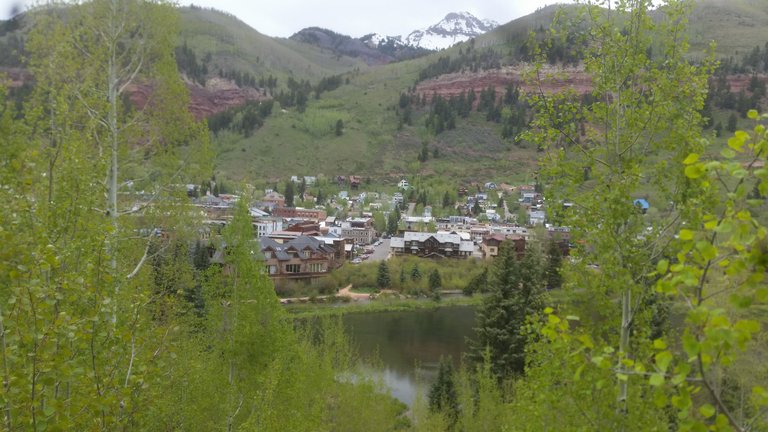
Soon the trees thin out and meadows appear on either side of the trail. 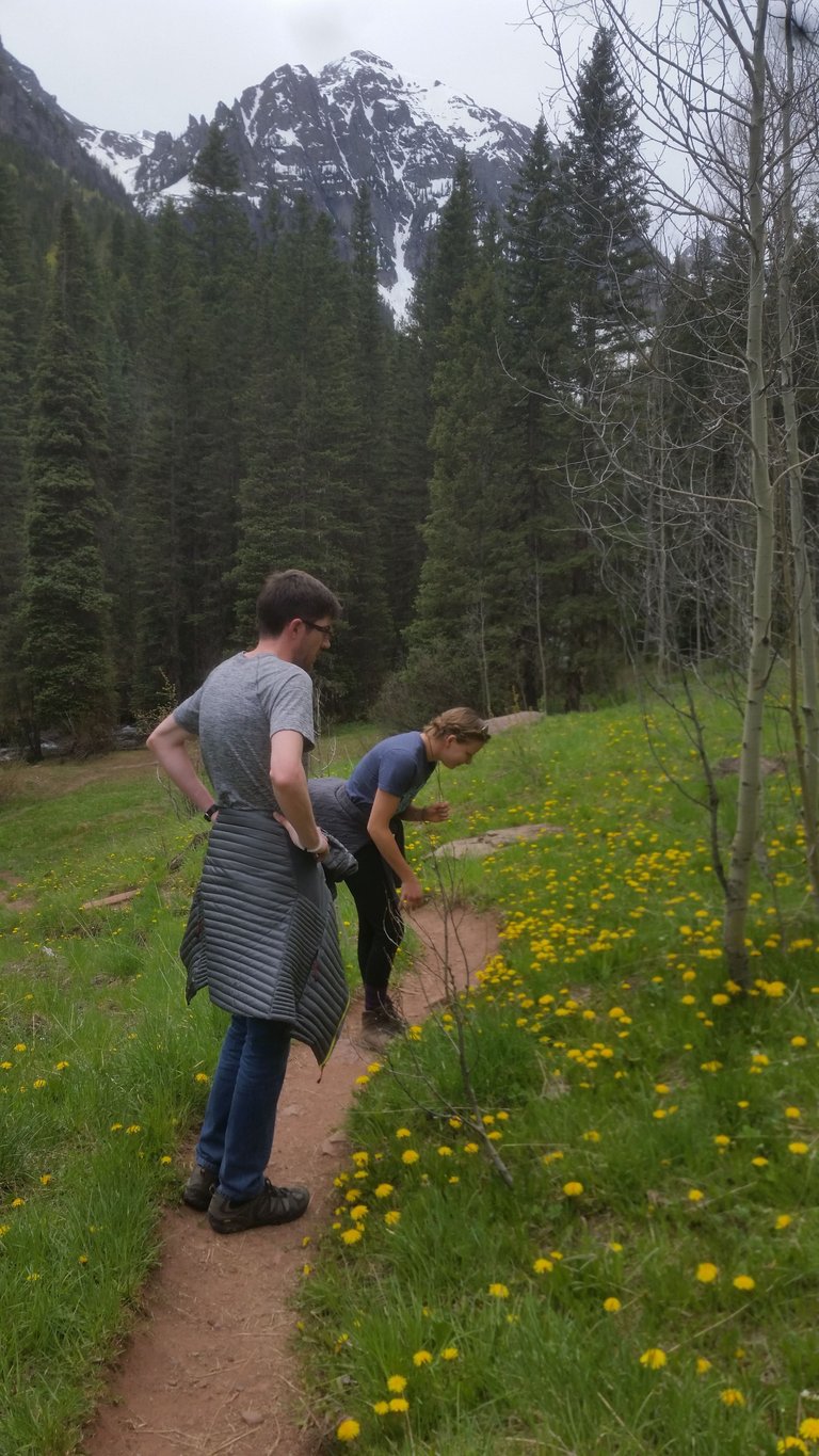 There are many side trails that will take you down to the creek as well. We took one down and found a tree laying a cross the rushing water. All three of us crossed it. After some exploring we crossed backed to the trail. Further along the views begins to open up more allowing you to see the dramatic cliffs and peaks towering over you. At almost two miles there's a very pretty spot, to the left of the trail, covered with rock cairns of all shapes and sizes. Further up the path we took a side trail leading us into a clearing with this circle of stones laid out.
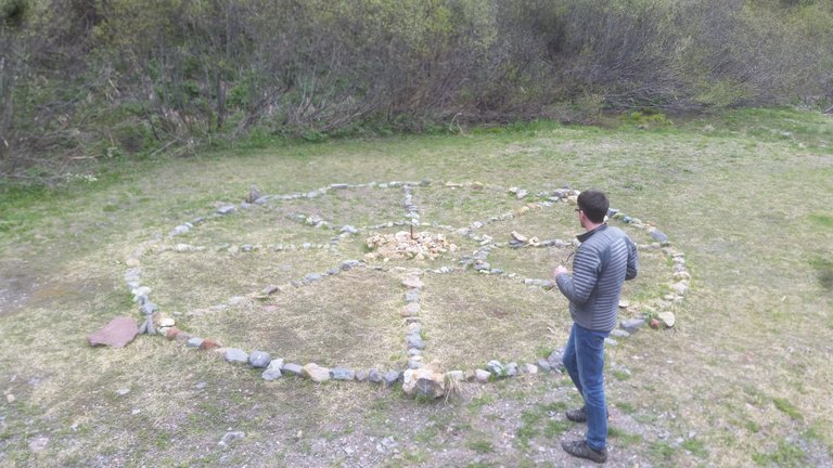
In the middle we found an old steel stake hammered into the ground and two old rusted horse shoes. We each took a toss and each of us missed. There were multiple attempts to get the horse shoe on the stake before we left but we sadly gave up and went on. After the side trail we came to a junction with Wasatch Trail in a large open meadow. It makes for a beautiful view looking back down the canyon. 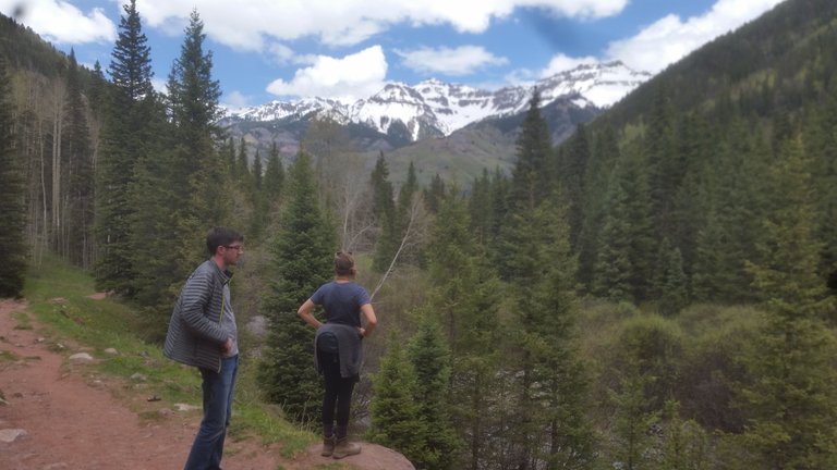
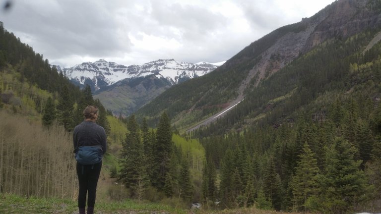
In the meadow there's a huge boulder perfect for climbing on too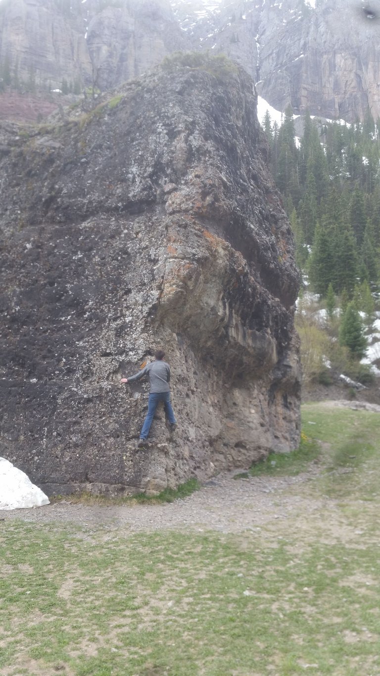 .
.
From this junction you can see Bear Creek Falls in the distance. The trail goes for another .03 and ends at the base of the falls. On our way up it started sprinkling on us. So we hurried our pace to the falls 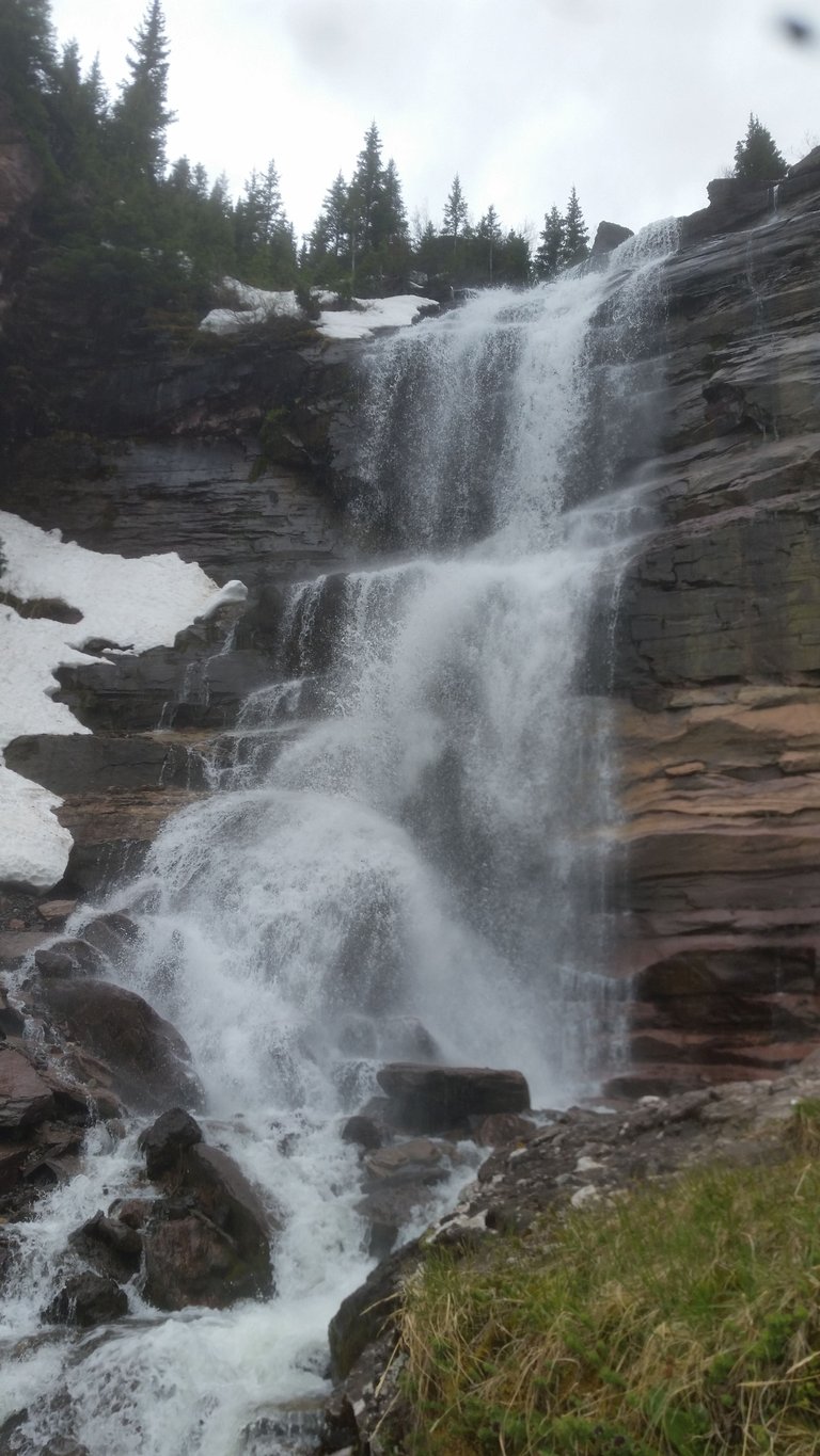
It's such a powerful feeling to stand near the bottom of the falls. The water creates a strong enough draft of wind it almost knocks you back at times. The temperature of the water also makes it very chilly if you stand close too long. Once we were nice and cold we headed back down. Back in town we were pretty wore out and unsure of where to camp that evening. We looked at the campsites in downtown Telluride. They had some nice spots but the price was higher then we preferred to pay. We decided to drive just a few miles outside of Telluride up in even higher elevation. After looking at one camp area we back tracked to Sunshine Campground. We found a site giving us a view of Mt. Wilson, which stands at 14,252ft. tall. Before the sunset rain clouds came in. We put all our stuff away and got in the car. The rain finally stopped and the sun came out creating multiple big, bright, rainbows. Later that night another storm rolled in and brought lightning. We stayed in our tent until the lightning started striking real close. The thunder was so loud. It definitely made for an intense moment. We jumped back in the car and waited till the worst of the lightning moved on. The video ends here so I will do the same and finish with part three soon! Hope you all enjoy.

I gave you a upvote
Please give me a upvote @wisdomtraders
I'm on it :)
Hey there! Well done @wisdomtraders! Nice pictures
thank you !
Thanks! glad you enjoyed
have you done any traveling ?