Hello all, it was a nice 70* day for a bike ride in Northern California. A bit windy, but I'll take that over rain any day.
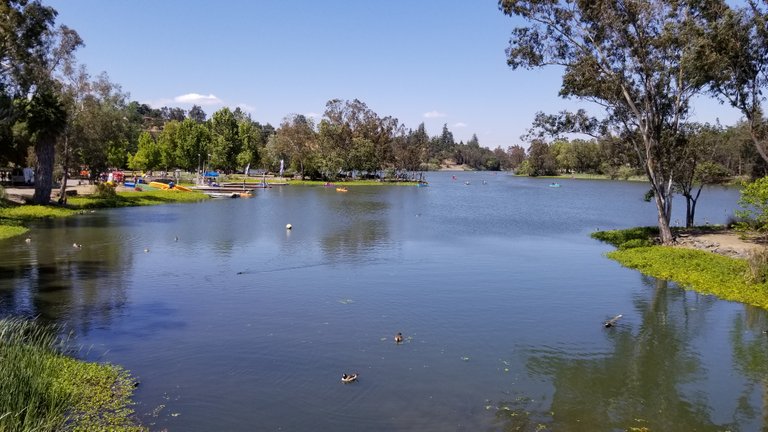
The shot below is from Vasona park in Los Gatos, CA

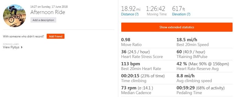
The ride was almost 19 miles and 600 feet of climbing, my first ride since getting back from the cycling vacation 6 days ago.

GPS data is from a Garmin Vivoactive HR and uploaded to Strava

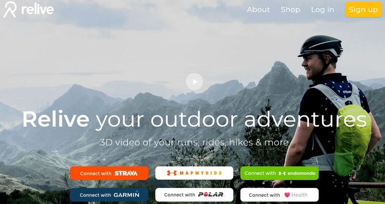
If you want to see a video track of your GPS route, there is a service named 'Relieve' that you can use for free that takes your GPS data and produces a trace of it on a short video. The sites main page below:

You just sign up and link it to your Strava account. They will send you an email when the compilation is complete and you can view it. It's pretty interesting and cool as it shows a ariel or drone view of the GPS route over what looks like a satellite google map.
Click on the video below to see my 'Relive' ride from this afternoon.
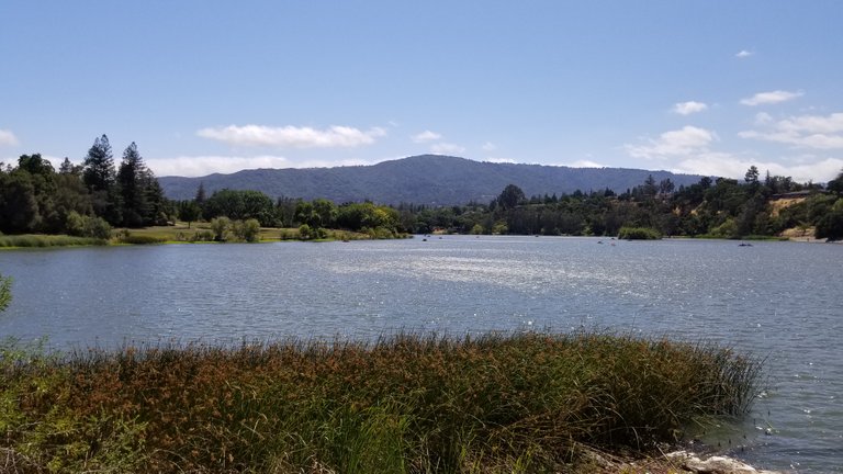
On last shot of Vasona, you can see the ripples in the water due to the winds... Happy Beautiful Sunday!

Nice and beautiful lake, i like the way of your ride.
You got a 6.07% upvote from @minnowvotes courtesy of @thedawn!
the water looks more calm in the first shot compared to the last.
Yeah, the first shot was the other side of the lake, cant see the small wakes as they are heading away from the shot
Relieve looks like a nice tool, too bad it does not connect to Runkeeper :(
At least I can always use google earth directly
Yeah, it is setup right now to work with strava, I would think that they would eventually expand to all gps data sites
It's always good to get back in the saddle after a break.
Btw, it is Relive and not Relieve.
I updated the mis spel...