[ENG]
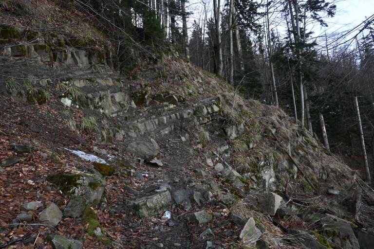
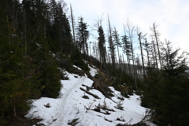
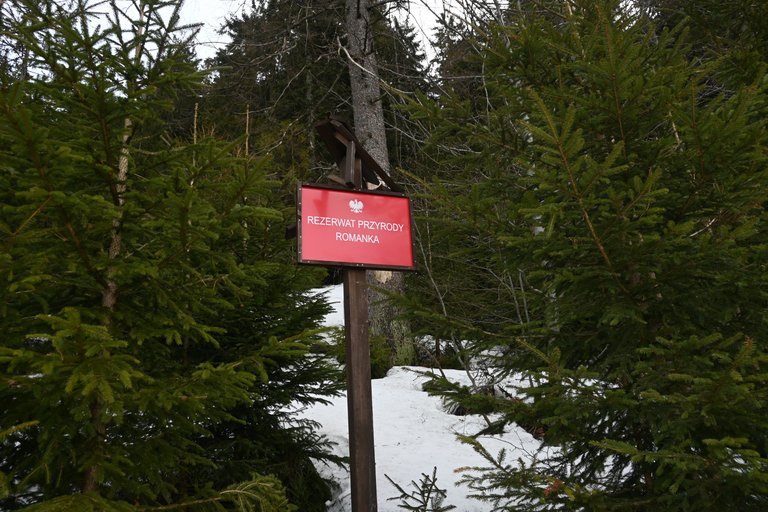
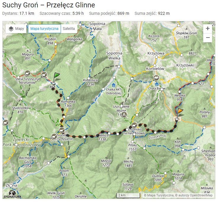
The most difficult thing in conquering the next stages of the Main Beskid Trail is the logistics of the project. When walking such a long trail, the fact that each stage starts in a different place and ends in a different place is obvious, but it also makes the trip extremely complicated. Going to the mountains in a private car and parking it near the trail is not possible for obvious reasons. Alternative solutions are going to the mountains by bus or train. So far, we have happily walked along the Main Beskid Trail in places that were well connected via railway lines to Wisła and Zwardoń. Unfortunately, the place where we were supposed to end the 6th stage of our route was at the Glinne Pass, from where the only salvation is a bus running to Żywiec at very irregular intervals. Therefore, in order not to complicate our return home, we decided to start the trip early in the morning. This rarely happens to us and it's probably hard to believe, but by 7:15 we were already on the trail. Not exactly on the trail, but more on the way to the trail because we slept in a place away from the Main Beskid Trail, over a kilometer and 100 meters of ascent. We planned to take a shortcut to reach the trail by following a forest slope road running along the Romanka stream. The name of the stream comes from the name of the peak, which fortunately we did not have to go to, because it is not a small mountain at all. The peak is 1,366 m above sea level. and on the western slope we were traversing, we had to cross a fragment of a landslide with exposed rocks, which were equipped with mountain chains for safe passage. I thought that we would only see chains on the Main Beskid Trail on the slopes of Babia Góra, but here it is.
[PL]
W zdobywaniu kolejnych etapów Głównego Szlaku Beskidzkiego najtrudniejsza jest logistyka przedsięwzięcia. Idąc po tak długim szlaku to, że każdy etap rozpoczyna się w innym, a kończy w innym miejscu jest rzeczą oczywistą, ale także rzeczą cholernie komplikującą wyprawę. Wyjazd w góry prywatnym samochodem i zaparkowanie go przy szlaku odpada z przyczyn oczywistych. Rozwiązaniami alternatywnymi są wyjazd w góry autobusem lub pociągiem. Do tej pory szczęśliwie chodziliśmy po Głównym Szlaku Beskidzkim w takich miejscach, które były dobrze skomunikowane poprzez linie kolejowa do Wisły i do Zwardonia. Niestety miejsce gdzie kończyć mieliśmy 6 etap naszej trasy wypadł na Przełęczy Glinne, skąd jedynym ratunkiem jest autobus kursujący do Żywca w bardzo nieregularnych odstępach czasu. Dlatego aby nie komplikować sobie powrotu do domu postanowiliśmy, że wycieczkę zaczniemy wcześnie rano. Rzadko się to nam zdarza i pewnie ciężko w to uwierzyć, ale o 7:15 byliśmy już na szlaku. Nie do końca na szlaku, ale bardziej w drodze na szlak bo przecież spaliśmy w miejscu oddalonym od Głównego Szlaku Beskidzkiego o ponad kilometr i 100 metrów podejścia. Dojście na szlak zaplanowaliśmy sobie trochę na skróty idąc po leśnej stokowej drodze biegnącej wzdłuż potoku Romanka. Nazwa potoku wywodzi się od nazwy szczytu, na który szczęśliwie nie musieliśmy wychodzić, bo przecież nie jest to wcale mała góra. Szczyt ma wysokość 1366 m n.p.m. a na przemierzanym przez nas zachodnim zboczu mieliśmy do przejścia fragment osuwiska z odkrytymi skałami, które dla bezpiecznego przejścia były wyposażone w łańcuchy górskie. Myślałem, że łańcuchy na Głównym Szlaku Beskidzkim spotkamy dopiero na zboczach Babiej Góry, a tu jednak taka niespodzianka.
[ENG]
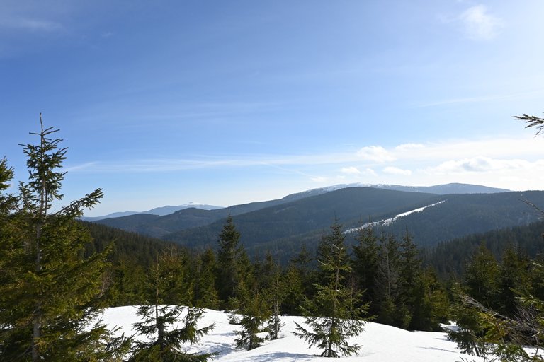
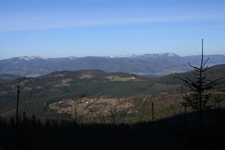
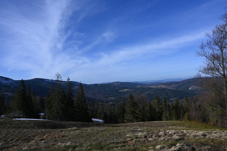
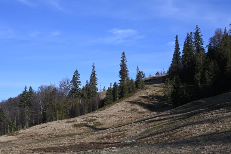
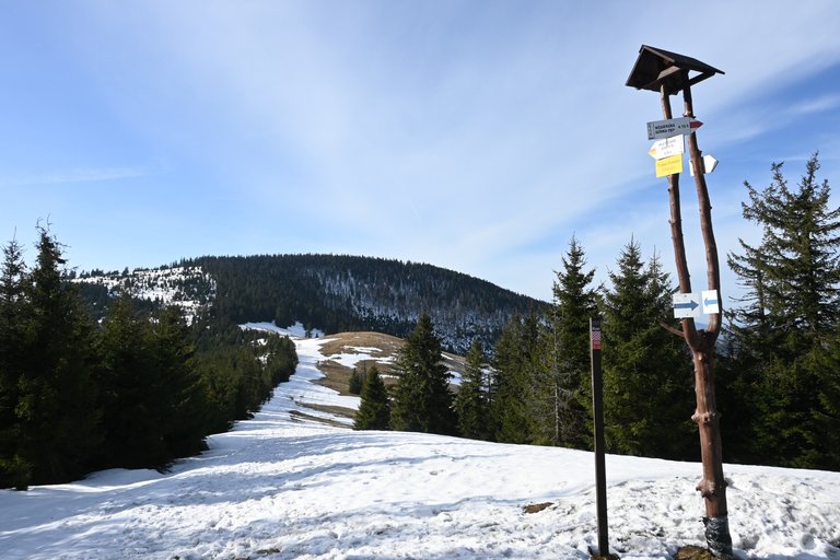
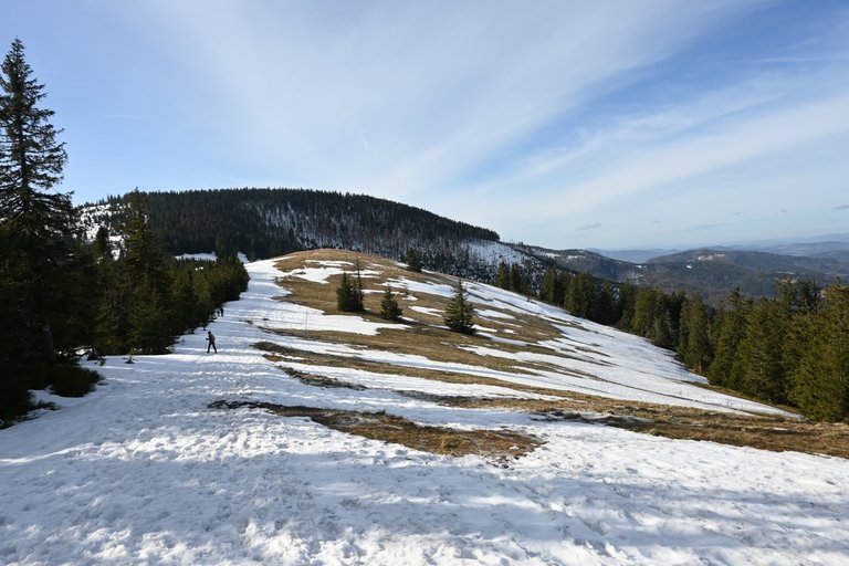
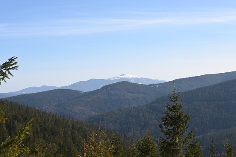
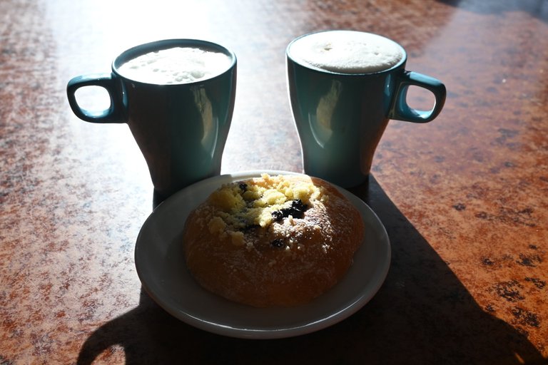
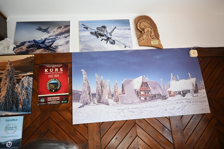
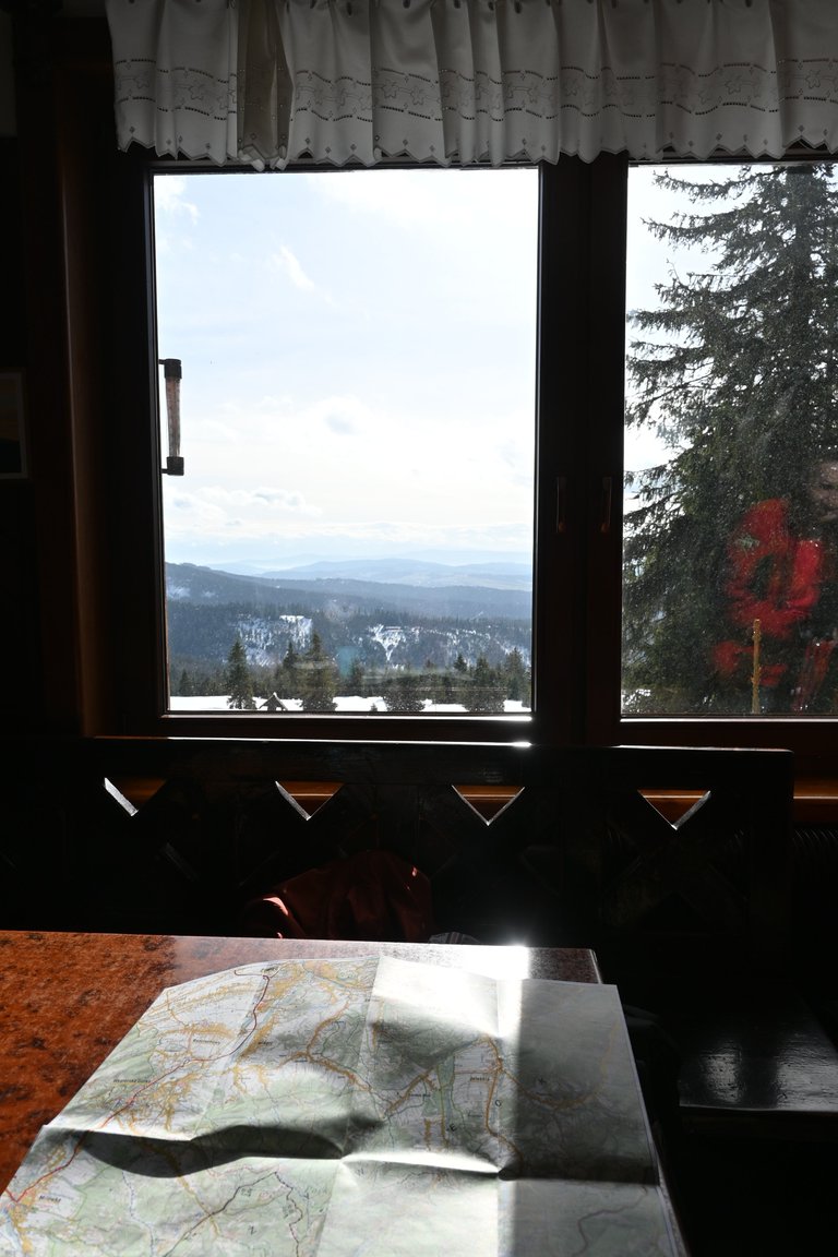
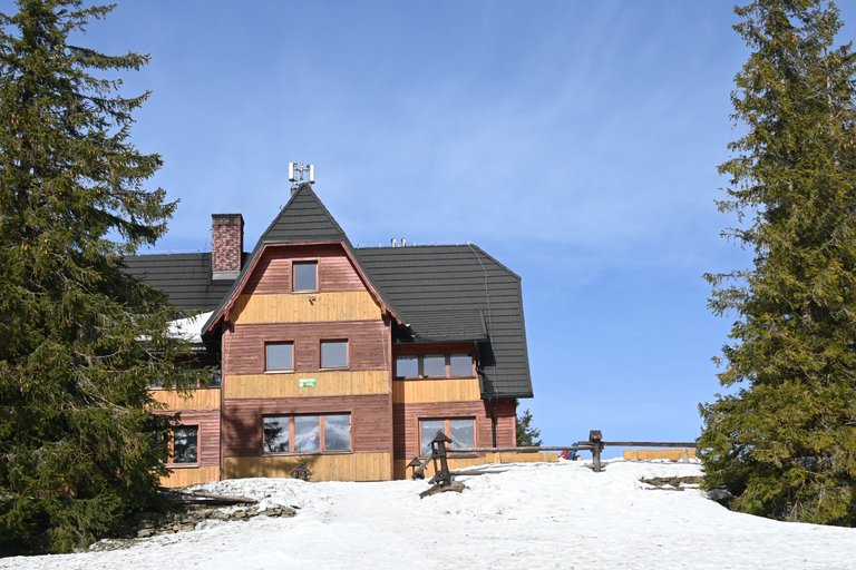
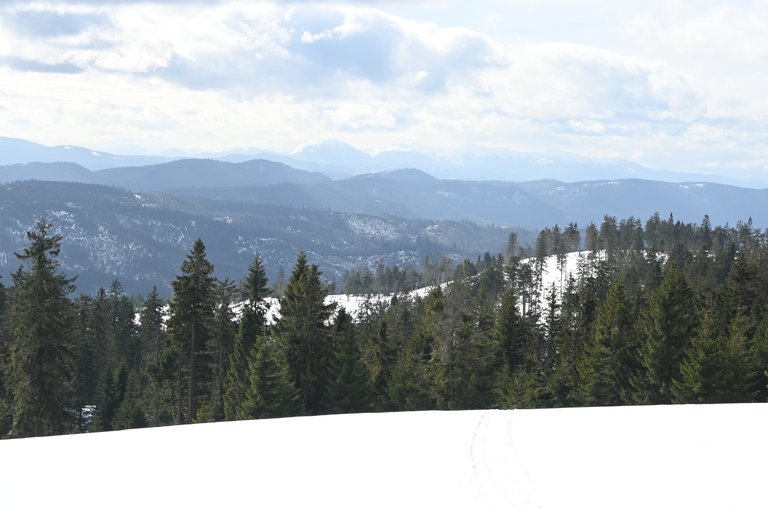
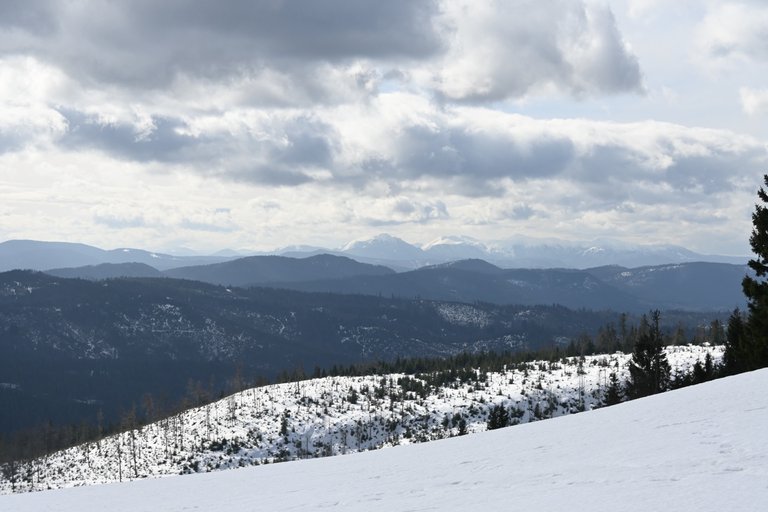
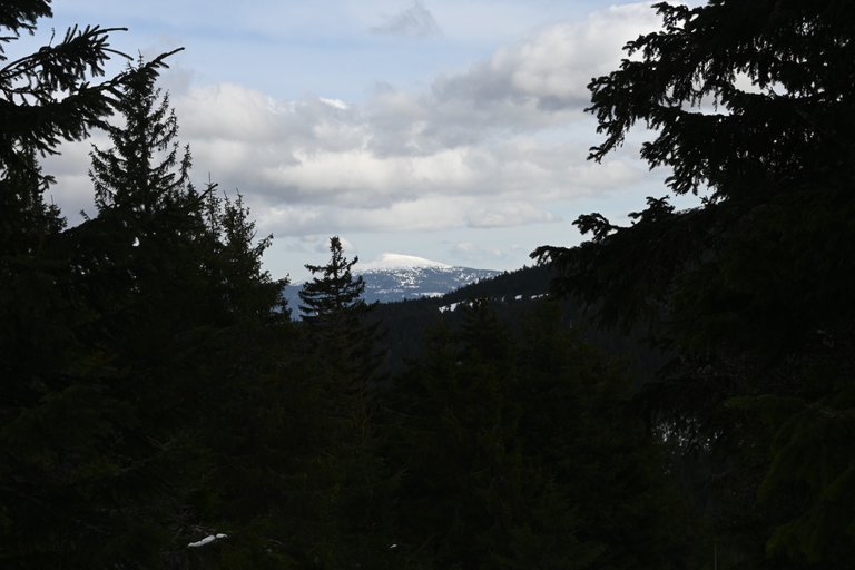
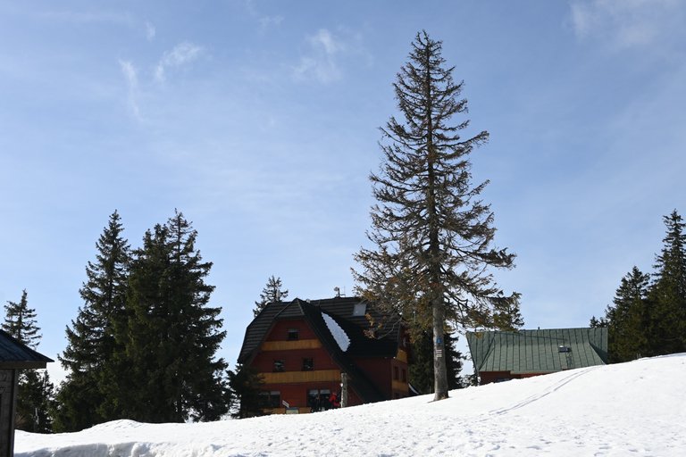
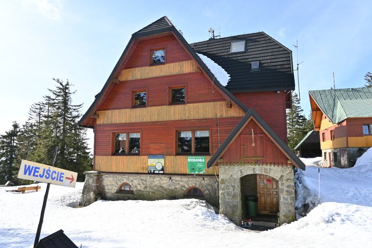
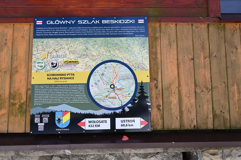
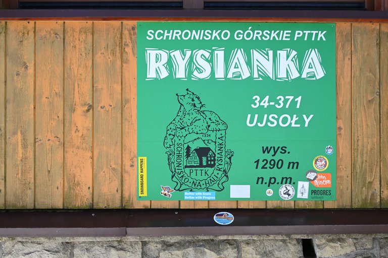
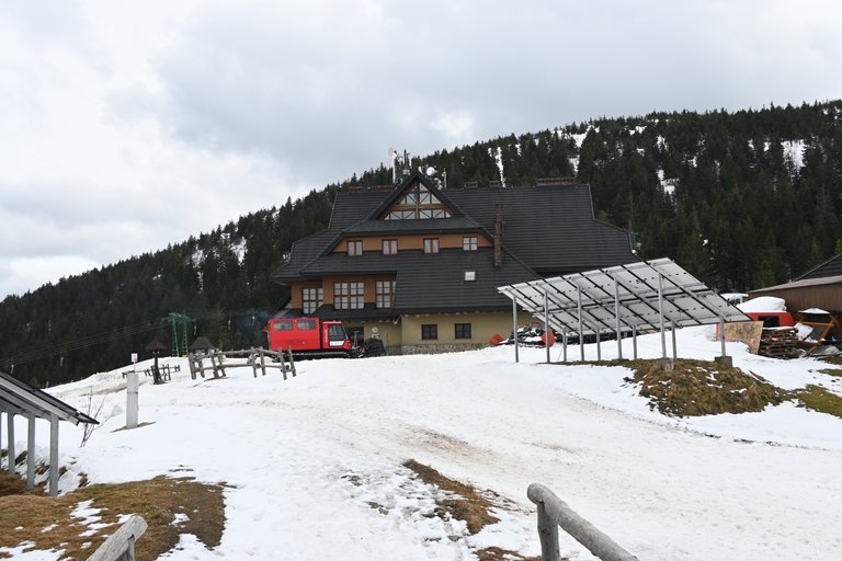
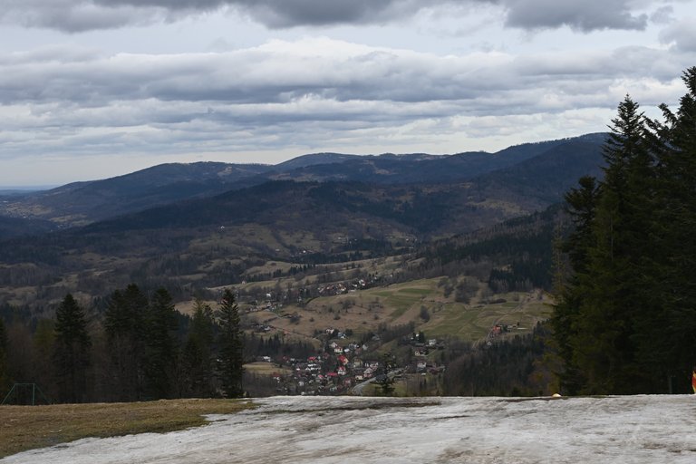
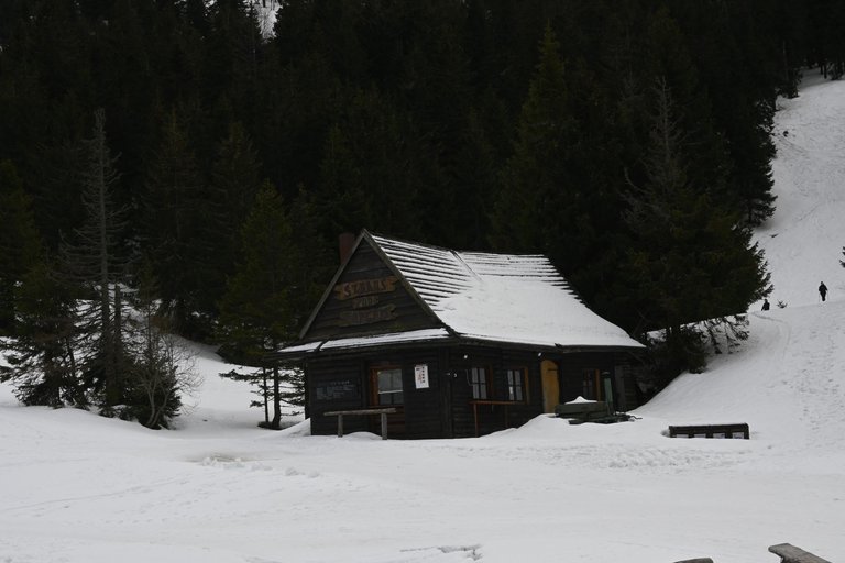
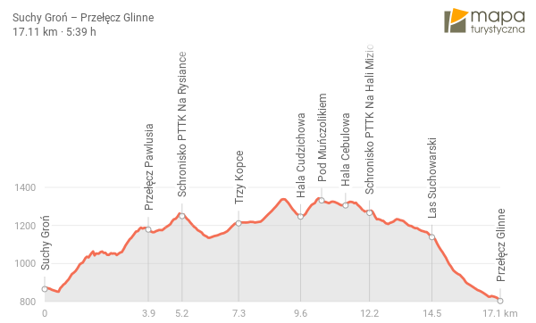
Leaving the forests covering the slopes of Romanka, we smoothly crossed the Pawlusia Pass, 1,183 m above sea level, and for the first time that day the sun shone brightly on us. Finally, we could enjoy exceptionally favorable weather and very good visibility. Looking east, we saw Pilsko in the foreground, and in the background, a little further to the left, the massive Babia Góra. It felt a bit frightening, because seeing Pilsko we had a reference point for the purpose of our trip, because it was near Pilsko that we were supposed to end our journey, and yet it was quite a long way. Fortunately, we had less than a kilometer from Przełęcz Pawlusia to the PTTK Na Rysianka Shelter, which translates into a dozen or so minutes of travel, and Rysianka was an important point for us, because only there we were supposed to fortify ourselves with coffee and cookies. There was a lot of traffic on Rysianka and it was nice to have the impression that all the tourists hiking in the mountains that day wanted to go here for breakfast. We allowed ourselves an almost 30-minute break and it was a great time because it was warm in the shelter and our table was right next to the window with an amazing view of Hale Rysianka.
[PL]
Wychodząc z lasów porastających zbocza Romanki płynnie przeszliśmy na Przełęcz Pawlusia liczącą 1183 m nad poziomem morza i pierwszy raz tego dnia z pełną mocą zaświeciło na nas słońce. Wreszcie mogliśmy rozkoszować się wyjątkowo sprzyjająca pogodą i również bardzo dobra widocznością. Patrząc na wschód na pierwszym planie widzieliśmy Pilsko, a w tle trochę bardziej na lewo masywną Babią Górę. Trochę powiało grozą, bo widząc Pilsko mieliśmy punkt odniesienia do celu naszej wycieczki, bo to właśnie pod Pilskiem mieliśmy zakończyć nasza wędrówkę, a przecież to był kawał drogi. Na szczęście z Przełęczy Pawlusia do Schroniska PTTK Na Rysiance pozostał nam niecały kilometr co przekłada się na kilkanaście minut drogi, a Rysianka była dla nas ważnym punktem, bo dopiero tam mieliśmy się wzmocnić kawą i ciasteczkiem. Na Rysiance panował ogromny ruch i miło się wrażenie, że wszyscy turyści wędrujący ego dnia po górach akurat tutaj zapragnęli udać się na śniadanie. Pozwoliliśmy sobie na niemal 30 minutową przerwę i był to wspaniały czas, bo w schronisku było ciepło, a nasz stolik znajdował się tuż przy oknie z niesamowitym widokiem na Hale Rysiankę.
[ENG]
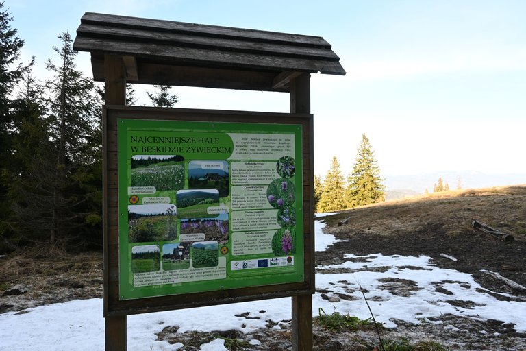
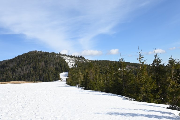
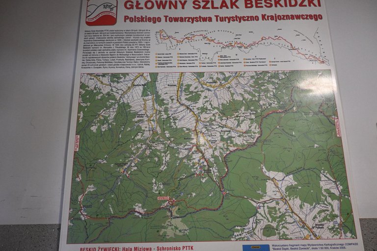
After leaving the shelter, we had a pleasant part of the hike because first we went down the hall, and then we walked on plus or minus flat terrain towards Pislek. and another stop at the PTTK shelter in Hala Miziowa. It was only about two kilometers before Hala Miziowa that the problems started, because we had two consecutive approaches to the peaks. The first one is Palenica, 1,338 meters above sea level, and the second peak is Muńczolik, 2 meters lower than its predecessor. The peaks were not outstanding, but after covering more than 10 kilometers, the last two ascents planned for that day took their toll on us. After descending from Muńczolik, we first came to Hala Bulowa, which is the habitat of several rare plant species in Poland, such as perennial celandine, Siberian garlic and alpine globeflower.
[PL]
Po wyjściu z schroniska mieliśmy przyjemny etap wędrówki ponieważ najpierw zeszliśmy w dół hali, a później po plus minus płaskim terenie szliśmy w kierunku Pislka. i kolejnego postoju przewidzianego w schronisku PTTK na Hali Miziowej. Dopiero na około dwa kilometry przed Halą Miziową zaczęły się problemy bo mieliśmy przed sobą dwa następujące bezpośrednio po sobie podejścia na szczyty. Pierwszy to mierzący 1338 metrów nad poziomem morza Palenica, a drugi szczyt to niższy o 2 metry od poprzednika Muńczolik. Szczyty nie były wybitne, ale po przejściu już ponad 10 kilometrów, te dwa ostatnie podejścia przewidziane na ten dzień dały nam się mocno we znaki. Po zejściu z Muńczolika najpierw trafiliśmy na Halę Cebulową która jest miejscem występowania kilku rzadkich w Polsce gatunków roślin takich jak niebielistka trwała, czosnek syberyjski i pełnik alpejski.
[ENG]
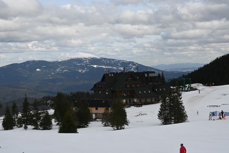
When I wrote a few lines above that it was crowded in the Rysianka shelter, I said so only because we had not yet been to the PTTK shelter in Hala Miziowa. There were real crowds there, because there is a ski lift leading to the shelter and it was the last day of the winter break. Even though we wanted to stop and eat a little, we couldn't find a single free corner in what was probably the largest shelter in the Żywiec Beskids. We quickly ate kabanos sausage standing up and headed towards the Glinne Pass, where the end of our 6th stage was at the intersection of the Main Beskid Trail with provincial road number 945.
[PL]
Gdy kilka linijek wyżej pisałem, że w schronisku na Rysiance panował tłok, to mówiłem tak wyłącznie dlatego, że nie byliśmy jeszcze w schronisku PTTK na Hali Miziowej. Tam to były prawdziwe tłumy, a to dlatego, że do schroniska doprowadzony jest wyciąg narciarski i właśnie trwał ostatni dzień ferii zimowych. Mimo, że chcieliśmy zatrzymać się i posilić trochę, to w całym chyba największym schronisku w Beskidzie Żywieckim nie dało się znaleźć ani jednego wolnego kąta. Szybko na stojąco zjedliśmy po kabanosie i ruszyliśmy w kierunku przełęczy Glinne, gdzie na skrzyżowaniu Głównego Szlaku Beskidzkiego z drogą wojewódzką numer 945 był koniec naszego 6 etapu.

Discord Server.This post has been manually curated by @steemflow from Indiaunited community. Join us on our
Do you know that you can earn a passive income by delegating to @indiaunited. We share more than 100 % of the curation rewards with the delegators in the form of IUC tokens. HP delegators and IUC token holders also get upto 20% additional vote weight.
Here are some handy links for delegations: 100HP, 250HP, 500HP, 1000HP.
100% of the rewards from this comment goes to the curator for their manual curation efforts. Please encourage the curator @steemflow by upvoting this comment and support the community by voting the posts made by @indiaunited.
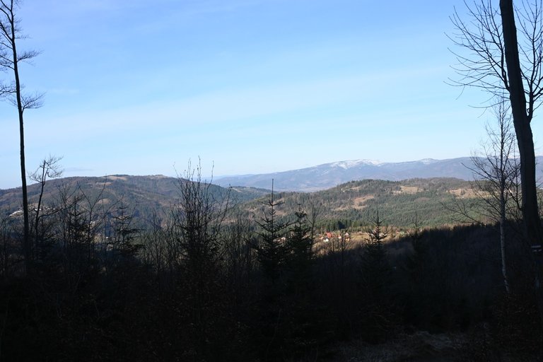
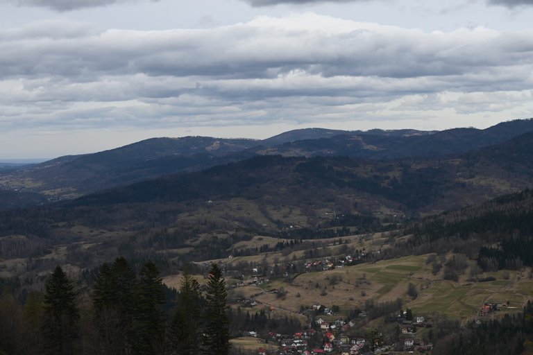
Fascinating to see the view of settlement from the height. While there are green peaks on the background and white cotton like clouds in the sky.
Congratulations @olusiu! You received the biggest smile and some love from TravelFeed! Keep up the amazing blog. 😍 Your post was also chosen as top pick of the day and is now featured on the TravelFeed front page.
Thanks for using TravelFeed!
@for91days (TravelFeed team)
PS: Did you know that we recently launched the truvvl app? With truvvl, you can create travel stories on the go from your phone and swipe through nearby stories from other TravelFeed users. It is available on the Apple App Store and Google Play.
Congratulations, your post has been added to Pinmapple! 🎉🥳🍍
Did you know you have your own profile map?
And every post has their own map too!
Want to have your post on the map too?
Gratuluję przejścia kolejnego odcinka. Po Romance łańcuchów już nie będzie - na Babią Górę wejdziecie bez pomagania sobie rękami.
Sprawdź wysokość Munczolika, bo on jest wyższy o paręnaście metrów od Palenicy

Hello olusiu!
It's nice to let you know that your article will take 6th place.
Your post is among 15 Bestszejq articles voted 7 days ago by the @hive-lu | King Lucoin Curator by
You receive 🎖 0.6 unique LUBEST tokens as a reward. You can support Lu world and your curator, then he and you will receive 10x more of the winning token. There is a buyout offer waiting for him on the stock exchange. All you need to do is reblog Daily Report 224 with your winnings.
Buy Lu on the Hive-Engine exchange | World of Lu created by szejq (Lucoin) and get paid. With 50 Lu in your wallet, you also become the curator of the @hive-lu which follows your upvote.
STOPor to resume write a wordSTART